The Climate of the
Marshall Islands
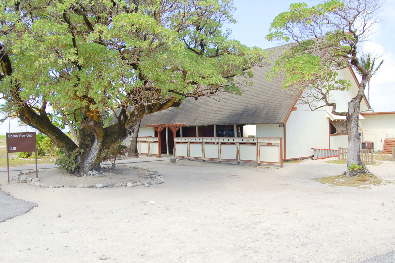
 Ocean View Club, Kwajalein island
What is the climate of the Marshall Islands like?
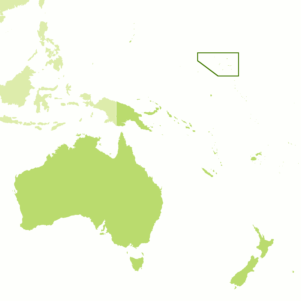
The Marshall Islands are located in the western Pacific Ocean, north of the equator. They lie between Hawaii and Papua New Guinea, and near Kiribati. The Marshall Islands consist of two chains of coral atolls about 1,300 km (800 mi) long.
The country experiences very similar conditions of temperature and humidity throughout the year. There is a typical tropical oceanic climate with moderately high temperatures and humidity that vary little from month to month. Daily temperatures generally vary between 21°C and 34°C (70°F and 93°F), but temperature range on any day is quite small—about 4°C/10°F. The high temperatures are relieved from December through March by trade winds that blow in from the northeast.
Monthly rainfall typically averages between 300 and 380 millimeters (12 and 15 inches). The wettest months are October and November and the driest are January through April. Because rainfall increases from north to south, the northern atolls receive an average of 1,800 millimeters (70 inches) annually, while the southern atolls reach 4,300 millimeters (170 inches).
All the islands in the country have moderately large amounts of sunshine, averaging between six and eight hours a day in spite of a large number of days on which some rain falls. Much of the rainfall is in the form of short, heavy showers but days with continuous rain are more frequent in the wetter months. Although the combination of temperature and humidity is often rather muggy and oppressive, particularly at night, the daytime temperatures are usually moderate and feel more comfortable because of the brisk winds, both daytime sea breezes and the predominant and regular trade winds.
The Marshall Islands are liable to tropical cyclones (the typhoons of the South China Sea) with their heavy rainfall and very strong winds, which can do considerable damage. The main season for such storms is from July to November. The worst of such storms may only affect one particular island every two or three years, but the much larger area of heavy rain associated with a cyclone contributes to the heavier rainfall of these months.
| Climate data for Majuro (1991–2020) | |||||||||||||
|---|---|---|---|---|---|---|---|---|---|---|---|---|---|
| Month | Jan | Feb | Mar | Apr | May | Jun | Jul | Aug | Sep | Oct | Nov | Dec | Year |
| Average high °C (°F) | 29.8 (85.7) | 29.9 (85.9) | 30.0 (86.0) | 30.1 (86.1) | 30.2 (86.3) | 30.2 (86.3) | 30.3 (86.6) | 30.4 (86.7) | 30.5 (86.9) | 30.4 (86.8) | 30.0 (86.0) | 30.3 (86.5) | 30.2 (86.3) |
| Daily mean °C (°F) | 27.7 (81.9) | 27.8 (82.0) | 27.9 (82.2) | 27.9 (82.2) | 28.0 (82.4) | 27.9 (82.2) | 28.0 (82.4) | 28.1 (82.5) | 28.1 (82.6) | 28.1 (82.5) | 27.9 (82.3) | 27.9 (82.2) | 27.9 (82.3) |
| Average low °C (°F) | 25.6 (78.1) | 25.6 (78.0) | 25.7 (78.3) | 25.7 (78.3) | 25.8 (78.4) | 25.6 (78.1) | 25.7 (78.2) | 25.7 (78.3) | 25.7 (78.3) | 25.7 (78.2) | 25.6 (78.1) | 25.7 (78.3) | 25.7 (78.2) |
| Average precipitation mm (inches) | 209 (8.24) | 194 (7.62) | 220 (8.65) | 282 (11.12) | 272 (10.71) | 282 (11.10) | 278 (10.96) | 284 (11.18) | 320 (12.60) | 350 (13.79) | 341 (13.41) | 302 (11.88) | 3,334 (131.26) |
| Source: NOAA | |||||||||||||
References
- E. A. Pearce, Charles Gordon Smith, (1990) The Hutchinson World Weather Guide, John Murray Press. ISBN 1859863426
- Timothy L. Gall, (ed.), (2003), Worldmark Encyclopedia of the Nations, Eleventh Edition, Thomson Gale
- Hugh Chisholm, (ed.), (1911), Encyclopædia Britannica, Eleventh edition, Cambridge University Press
The Climate of the
Marshall Islands

In summary:
The Marshall Islands have a maritime tropical climate: hot and humid, with little seasonal temperature change. Temperatures generally range between 21° and 34°C (70° and 93°F). Trade winds from the northeast cool the high temperatures from December through March.
October and November are typically the wettest months and January to April the driest. Average rainfall increases from the north to the south; the northern atolls average 1800 mm (70 in) annually, compared with 4300 mm (170 in) in the southern atolls.