.jpg)
The Geography of
Cyprus
Why visit Cyprus?
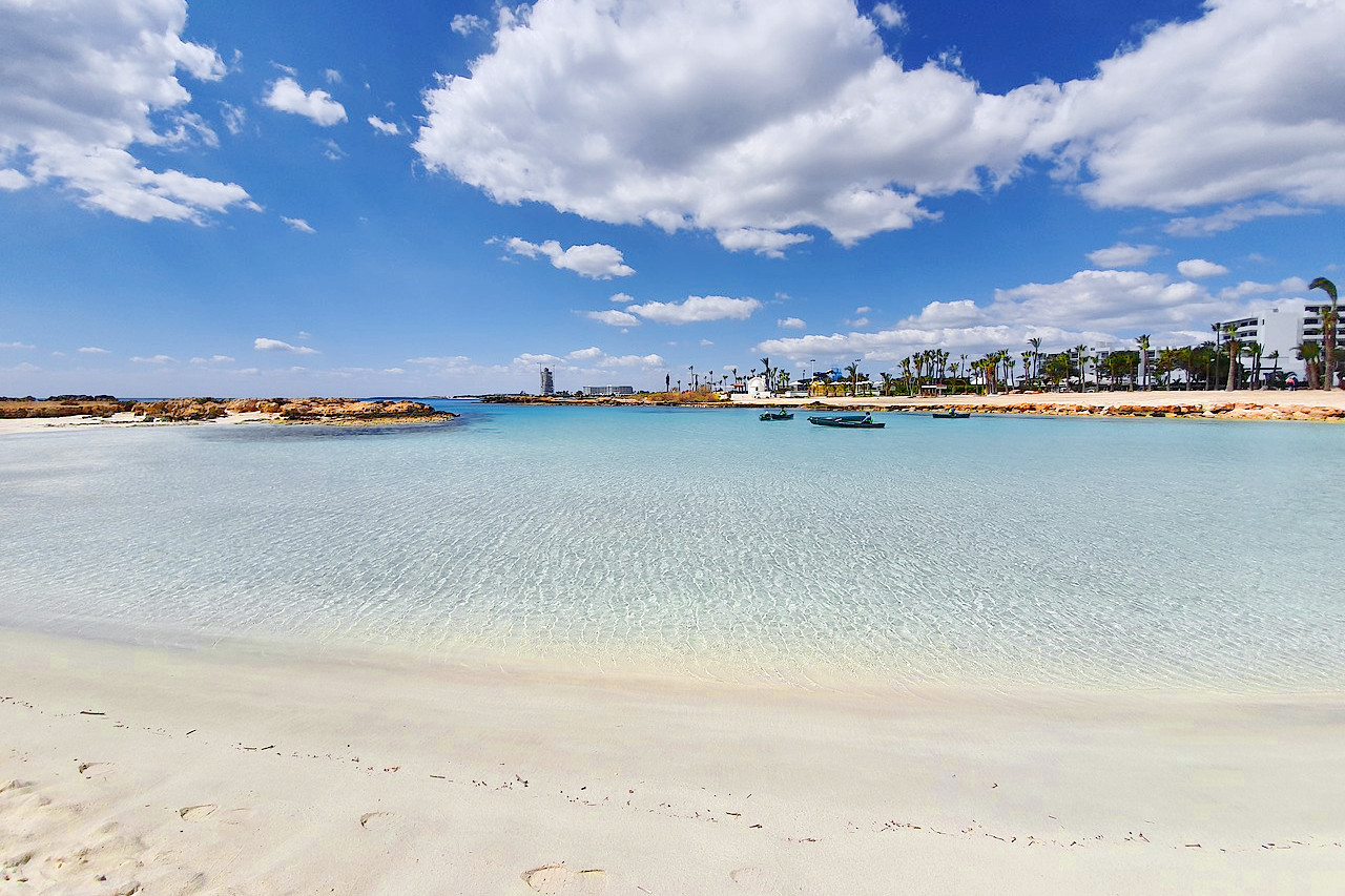
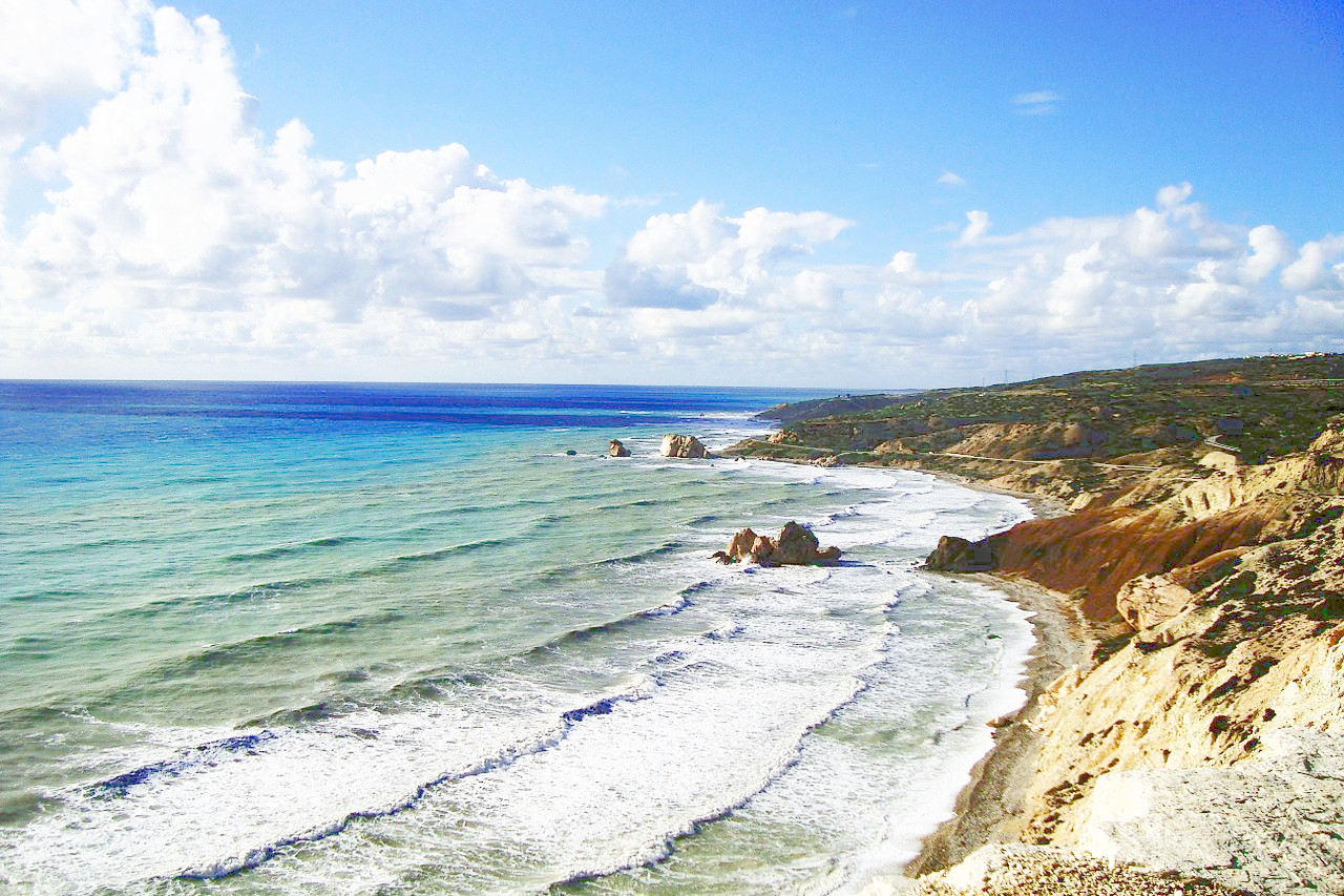
Cyprus, with its good sunny climate, lies in the eastern Mediterranean. Aphrodite (or Venus) was said to have been born here, coming ashore, as in Botticelli's painting, in a huge seashell; the beach where she landed is still a popular bathing spot on the south coast of the island between Paphos and Limassol.
Contents
Map
 Relief map of Cyprus
What is the landscape of Cyprus like?
Cyprus is the largest Mediterranean island after Sicily and Sardinia. A great part of the island is occupied by two mountain ranges, both of which have a general direction from west to east. The largest, which fills up almost the whole southern part of the island, is the rugged Troodos mountain range attaining its highest point in Mount Olympus at 1,952 meters (6,404 feet). The Troodos mountains are the single most conspicuous feature of Cyprus's landscape. Secondary ranges and spurs veer off at many angles. To the southwest, the mountains descend in a series of stepped foothills to the coastal plain.
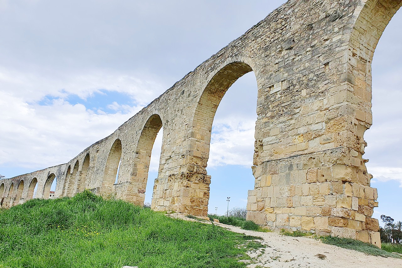
In the north is the narrow Kyrenia Range, which extends along the northern coastline for more than 100 miles (160 km) in a series of rocky peaks, often capped by medieval castles. These hills are much lower than the Troodos mountains and descend to foothills in the northeast they extend into the Karpas Peninsula.
.jpg&oldid=646153506)
Between the two mountain ranges lies a broad plain known by the name of the Mesaoria. It extends across the island for a distance of nearly 60 miles, with a width varying from 10 to 20 miles. Once forested, this now treeless region, contains the bulk of the island's farmland.
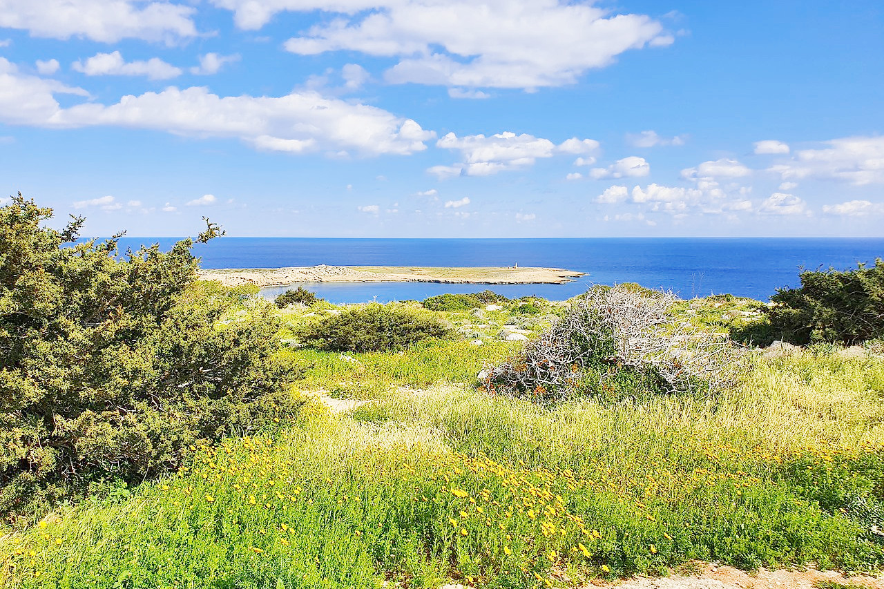
Cyprus's coastline is rocky and heavily indented, with many bays and capes. The most notable cape is Apostolos Andreas in the northeast where there are also some tiny islands known as the Kleides. Cyprus has a number of bays, including Famagusta Bay and Larnaca Bay in the east, the Akrotiri and Episkopi bays to the south, and the Chrysochous and Morphou bays to the northwest. The coast is fringed with sandy beaches.
What is the nature of Cyprus like?
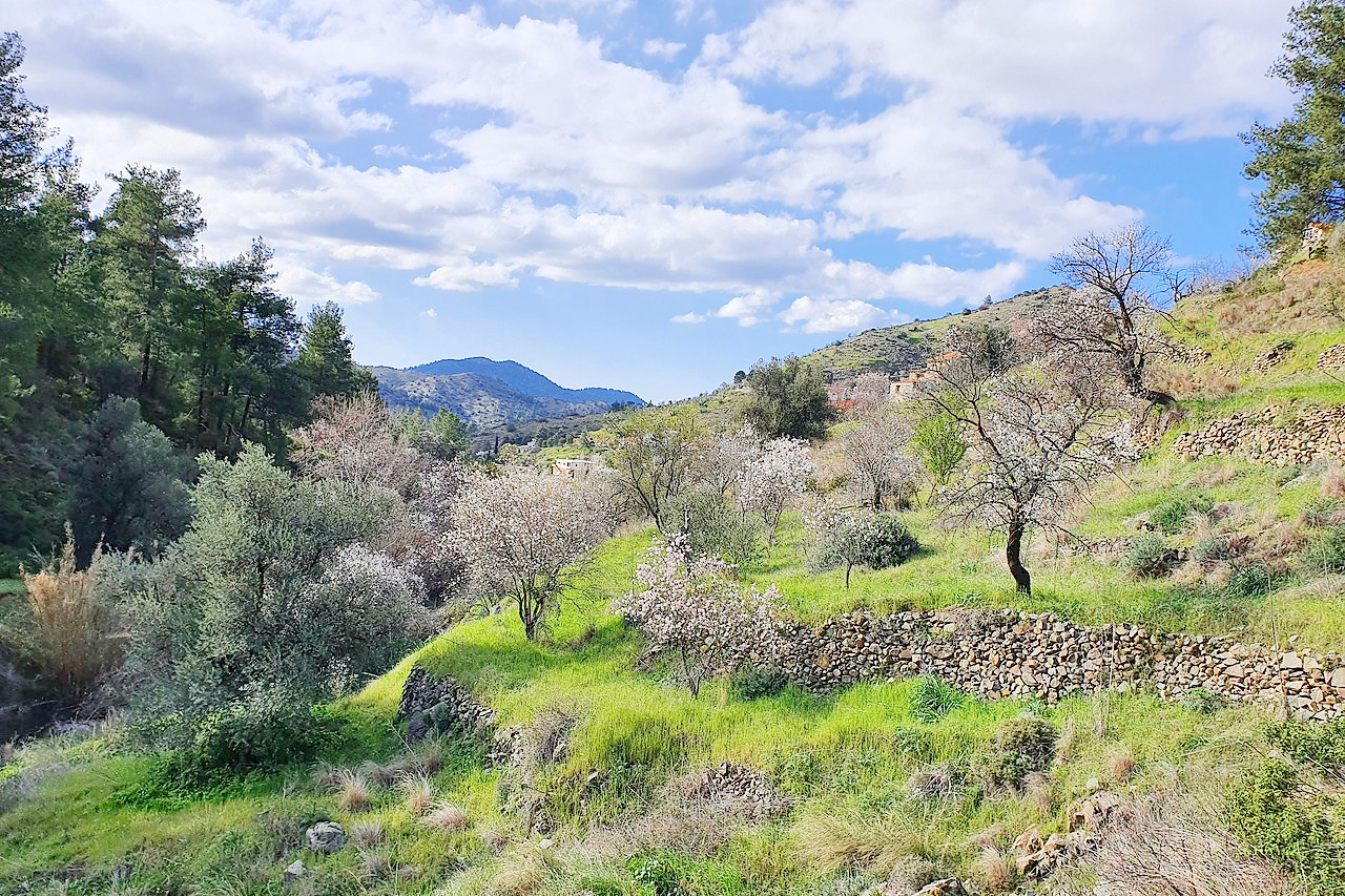
The Troodos mountains still retain their ancient covering of woodlands. Forests consist principally of Aleppo pine; black pine, carob, olive, and the golden oak (Quercus alnifolia)—an evergreen oak species of Cyprus. Other important conifers are the stone pine, cedar, cypress, and juniper, the latter growing chiefly on the lower slopes of the Kyrenia Mountains. Oriental plane and alder are plentiful in the valleys. The island appears rather dry and yellow in the long summertime but becomes much greener in the winter months, and wild flowers grow in profusion.
What is the climate of Cyprus like?
See our main article: The Climate of Cyprus
Cyprus has a Mediterranean climate, with well-defined seasons. There are hot, dry summers between June and September; rainy winters from November to March; and short, changeable spring and autumn seasons in between. Annual rainfall averages less than 500 millimeters (20 inches). Rainfall is highest in the area of Nicosia and lowest on Mount Olympus in the Troödos Mountains.
Cyprus is for the most part dry and sunny. The warm currents of the Mediterranean ensure mild winters but bring humidity to the coastal area in the summer, when the central plain is hot and dry. On the hills, daily sunshine is interrupted only occasionally by a wet period rarely lasting more than a week. The mean annual temperature is about 20°C (68°F).
| Climate data for Nicosia, (1991-2005) | |||||||||||||
|---|---|---|---|---|---|---|---|---|---|---|---|---|---|
| Month | Jan | Feb | Mar | Apr | May | Jun | Jul | Aug | Sep | Oct | Nov | Dec | Year |
| Average high °C (°F) | 15.5 (59.9) | 15.9 (60.6) | 19.2 (66.6) | 24.3 (75.7) | 29.7 (85.5) | 34.3 (93.7) | 37.2 (99.0) | 36.9 (98.4) | 33.5 (92.3) | 29.0 (84.2) | 22.1 (71.8) | 17.0 (62.6) | 26.2 (79.2) |
| Daily mean °C (°F) | 10.6 (51.1) | 10.6 (51.1) | 13.1 (55.6) | 17.1 (62.8) | 22.3 (72.1) | 26.9 (80.4) | 29.7 (85.5) | 29.4 (84.9) | 26.2 (79.2) | 22.3 (72.1) | 16.3 (61.3) | 12.0 (53.6) | 19.7 (67.5) |
| Average low °C (°F) | 5.7 (42.3) | 5.2 (41.4) | 7.0 (44.6) | 10.2 (50.4) | 14.8 (58.6) | 19.4 (66.9) | 22.2 (72.0) | 21.9 (71.4) | 18.8 (65.8) | 15.6 (60.1) | 10.4 (50.7) | 7.1 (44.8) | 13.2 (55.8) |
| Average precipitation mm (inches) | 54.7 (2.15) | 41.6 (1.64) | 28.3 (1.11) | 19.9 (0.78) | 23.5 (0.93) | 17.6 (0.69) | 5.8 (0.23) | 1.3 (0.05) | 11.7 (0.46) | 17.4 (0.69) | 54.6 (2.15) | 65.8 (2.59) | 342.2 (13.47) |
| Source: Meteorological Service (Cyprus) | |||||||||||||
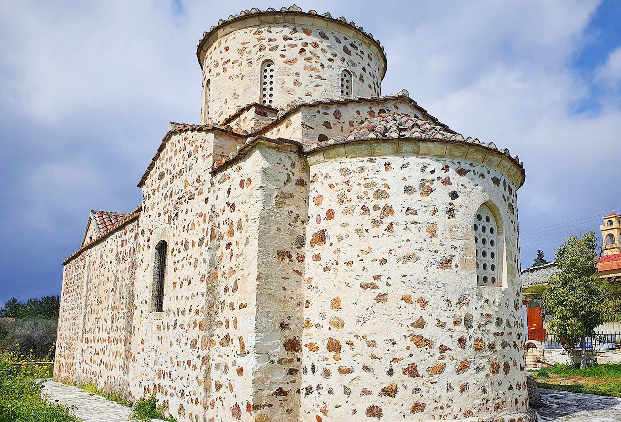
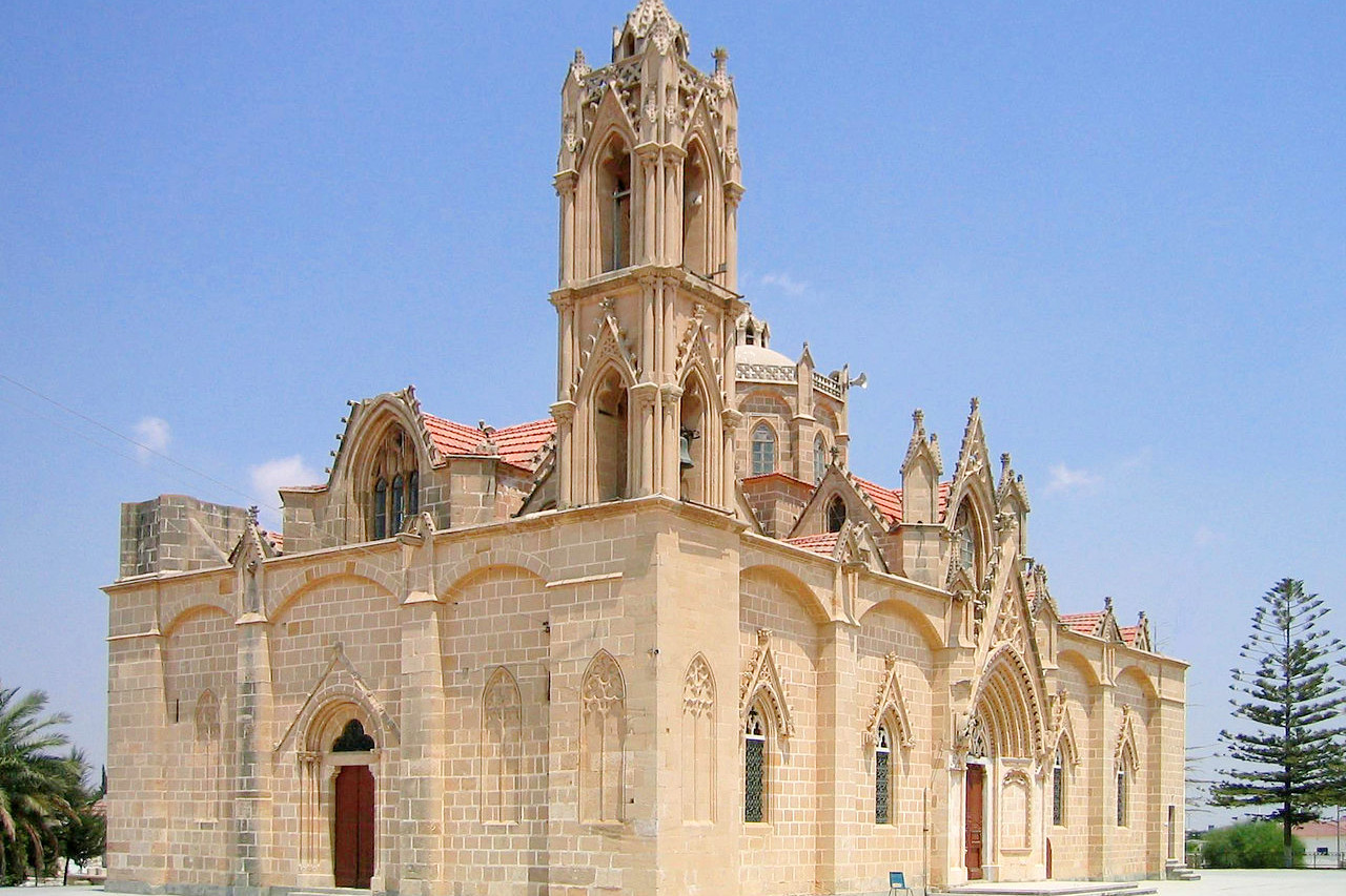
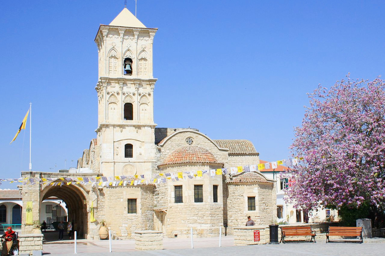 Saint Lazarus Church in Larnaka
The official websites
Cyprus
The Island for All Seasons
| Location: | In the Mediterranean Sea, south of Turkey |
| Coordinates: | 35° 00′ N, 33° 00′ E |
| Size: | • 125 km N-S; 215 km E-W • 80 miles N-S; 130 miles E-W |
| Terrain: | Mountains dominate the south; central lowlands; a low ridge of mountains on the north coast |
| Climate: | A Mediterranean climate with hot, dry summers and mild winters |
| Highest point: | Mount Olympus 1,952 m / 6,404 ft |
| Forest: | 11% (2010 est.) (source) |
| Population: | 1,295,102 (2022 est.; entire island) |
| Population density: | High (138/km²) |
| Capital: | Nicosia |
| Languages: | Greek; Turkish |
| Human Development Index: | Very high (0.896) |