The Geography of
Aosta Valley
Why visit Valle d'Aosta?
Situated in the northwest corner of Italy, the Aosta Valley is where the Dora Baltea, one of the tributaries of the river Po, has its source in the glaciers of Mont Blanc. This great valley—one of the largest on the southern side of the Alps—leads to the two famous Saint Bernard passes across the great mountain.
Contents
Map
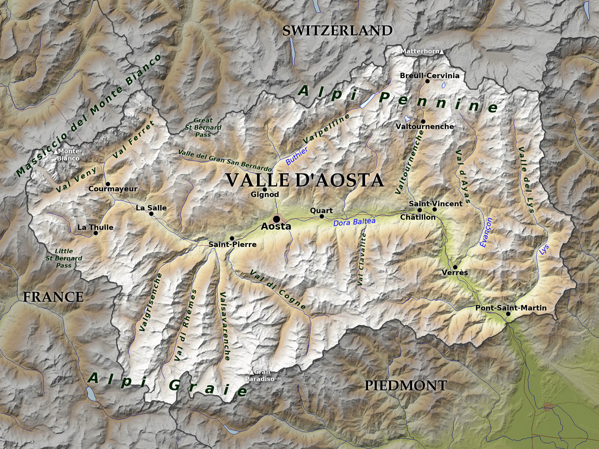 Relief map of Valle d'Aosta
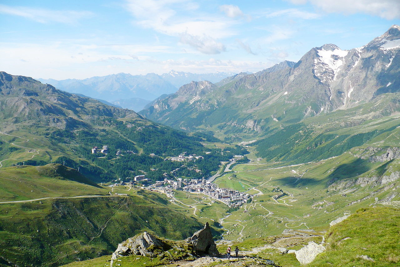
What is the landscape of Valle d'Aosta like?
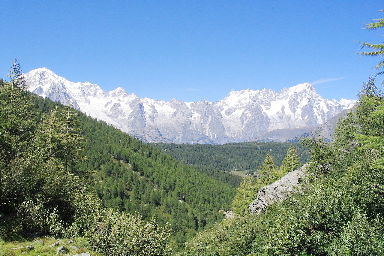
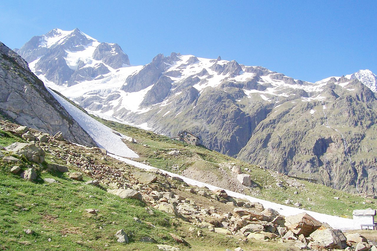
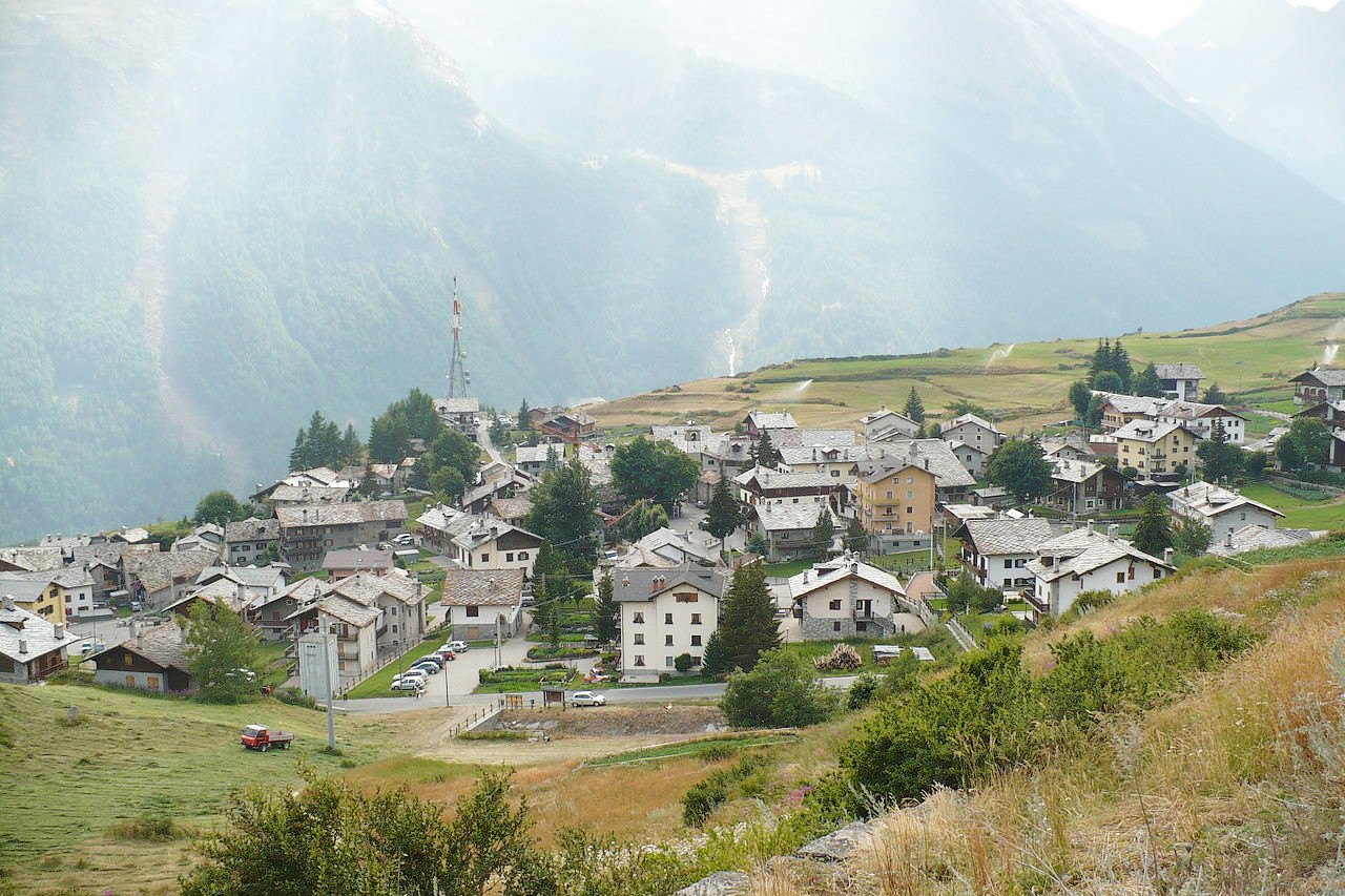
The Valle d'Aosta, in Italy's northwest corner, is an autonomous region and Italy's smallest. The region is bordered to the north by Switzerland, and to the west by France. It is wholly an Alpine land occupied by mountains. and divided by the east-west flow of the Dora Baltea River, which rises at Monte Bianco (4,808 m or 15,774 feet). Monte Bianco (or Mont Blanc) is Italy's tallest mountain and straddles the French border. Two other high mountains along the northern border are Monte Cervino (or the Matterhorn, 4,478 m or 14,692 feet) and Monte Rosa (4,634 m or 15,203 feet).
Bottled up in the mountains, the Valle d'Aosta has a long history for its crucially important Great and Little Saint Bernard Passes that link the Po valley to Europe beyond the Alps. At the Great Saint Bernard Pass sits a massive hospice (at 2,469 m or 8,100 feet) that was founded, according to tradition, by Saint Bernard, the archdeacon of Aosta. The region also boasts the Gran Paradiso National Park, the nation's first such reserve.
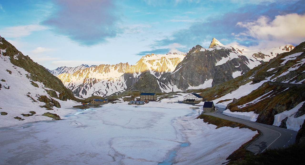 Sunset on the Great Saint Bernard
.jpeg&oldid=314720179)
What is the nature of Valle d'Aosta like?
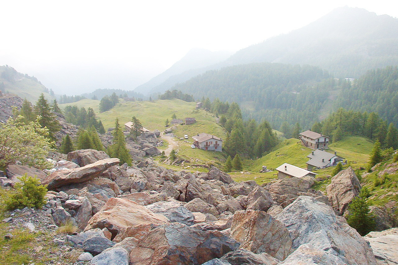
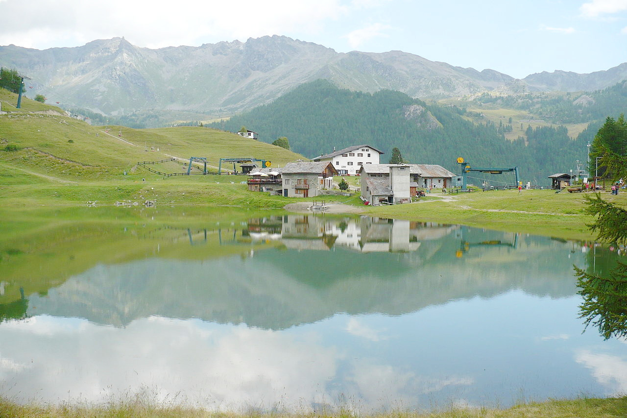
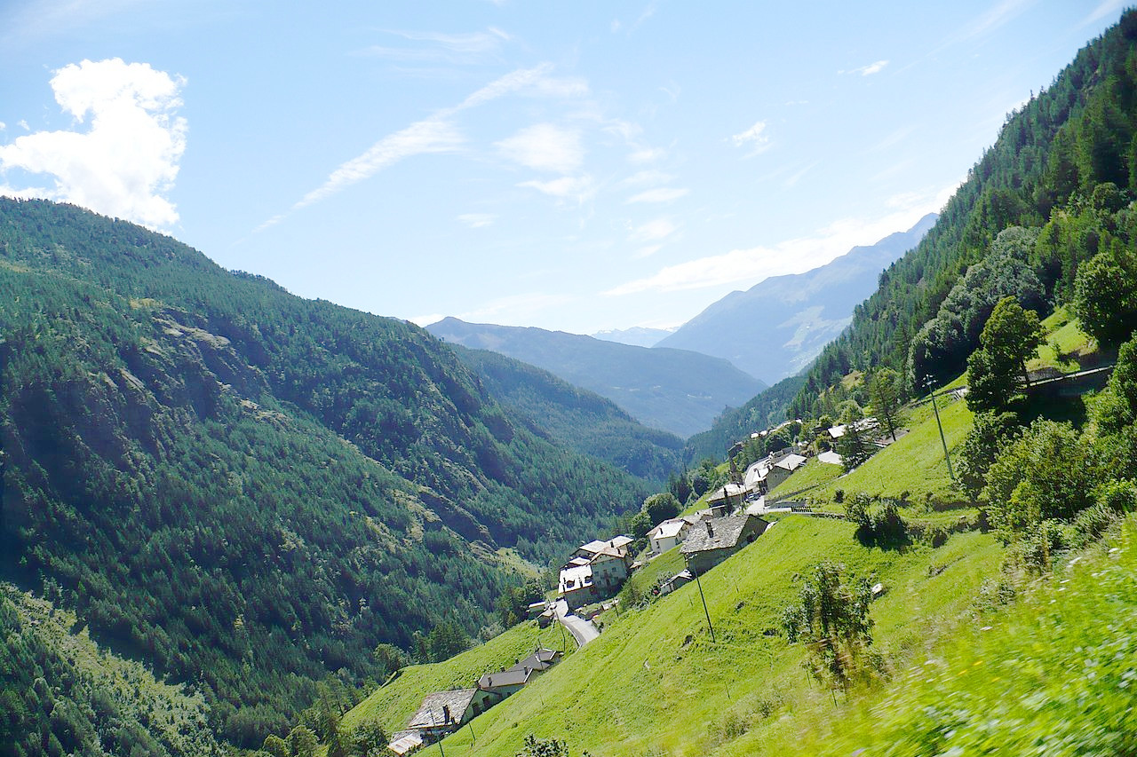
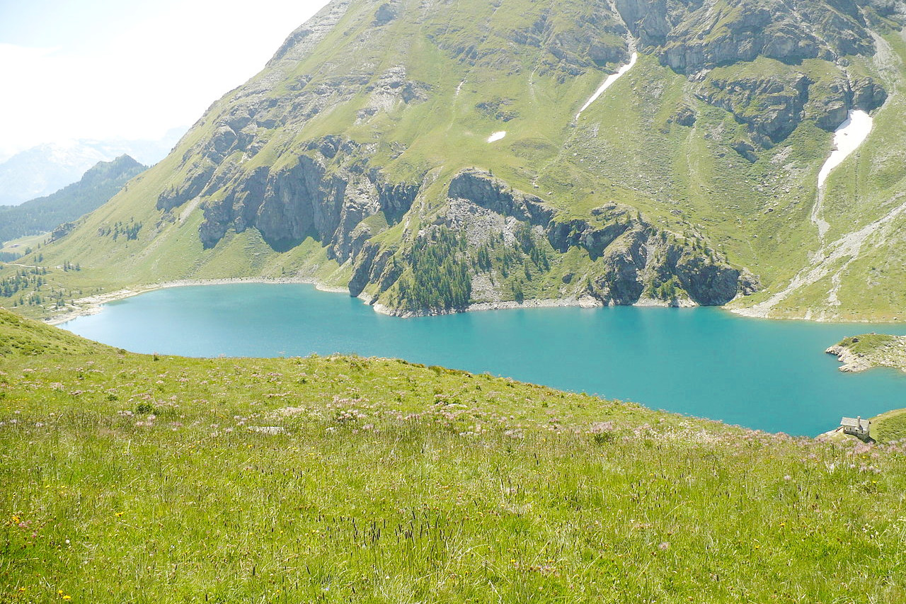
The beautiful natural scenery of Valle d'Aosta is typically alpine. There are cultivated fields in the valleys, then, as one ascends, large pastures, forests, glaciers, alpine lakes and rock chasms begin to appear.
In order to safeguard the natural heritage of Valle d'Aosta, many protected areas have been created. The southern part of the territory is occupied by the Gran Paradiso National Park (Parco nazionale del Gran Paradiso), the first Italian national park established in 1922, to safeguard some species of Alpine flora and fauna in danger of extinction, such as ibexes, chamois, marmots and ermines. Nowadays, it is a great tourist and excursion destination for the richness of its fauna and the variety of its flora.
What is the climate of Valle d'Aosta like?
The Valle d'Aosta region is known for its local microclimates which are very different, even between valleys or mountainsides. In general the valleys have a continental climate: in winter temperatures drop below freezing; in summer temperatures rise over 30°C (86°F), with very little wind. At higher altitudes there is an alpine climate, where summers are short, and winters are long and cold, with temperatures dropping below -20°C (-4°F). Rainfall in the Valle d'Aosta is scarce, especially compared to other regions of the Alps, but what there is is generally evenly distributed throughout the year. The deepest valleys are often very arid.
| Climate data for Aosta (1961-1990) | |||||||||||||
|---|---|---|---|---|---|---|---|---|---|---|---|---|---|
| Month | Jan | Feb | Mar | Apr | May | Jun | Jul | Aug | Sep | Oct | Nov | Dec | Year |
| Average high °C (°F) | 4.5 (40.1) | 7.0 (44.6) | 11.5 (52.7) | 15.4 (59.7) | 20.9 (69.6) | 24.1 (75.4) | 26.7 (80.1) | 24.7 (76.5) | 20.8 (69.4) | 14.5 (58.1) | 8.4 (47.1) | 5.5 (41.9) | 15.3 (59.6) |
| Daily mean °C (°F) | 0.6 (33.1) | 3.1 (37.6) | 7.1 (44.8) | 10.9 (51.6) | 15.7 (60.3) | 18.8 (65.8) | 21.3 (70.3) | 19.5 (67.1) | 16.4 (61.5) | 10.6 (51.1) | 5.1 (41.2) | 2.0 (35.6) | 10.9 (51.7) |
| Average low °C (°F) | −3.2 (26.2) | −0.8 (30.6) | 2.8 (37.0) | 6.5 (43.7) | 10.5 (50.9) | 13.6 (56.5) | 15.8 (60.4) | 14.3 (57.7) | 12.0 (53.6) | 6.8 (44.2) | 1.8 (35.2) | −1.4 (29.5) | 6.6 (43.8) |
| Source: Stazione Meteorologica di Aosta | |||||||||||||
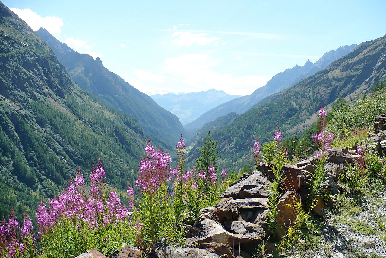 Valpelline, Valle d'Aosta
The official websites
Valle d'Aosta
The land of mountains and castles
| Location: | Northwest Italy |
| Coordinates: | 45° 45′ N, 7° 25′ E |
| Size: | • 60 km N-S; 90 km E-W • 35 miles N-S; 55 miles E-W |
| Terrain: | An Alpine region occupied by mountains including Monte Bianco (or Mont Blanc)—Italy’s tallest mountain |
| Climate: | Hot summers in the valleys with cold winters. Low rainfall. At higher altitudes the summers are short and alternate with long cold winters |
| Highest point: | Monte Bianco 4,810 m |
| Forest: | 29% (2010 est.) (source) |
| Population: | 126,933 (2012) |
| Population density: | Low (39/km²) |
| Capital: | Aosta |
| Languages: | Italian; French |
| Human Development Index: | Very High (0.887) |