The Climate of
Mauritius
.JPG) Street in Flic-en-Flac
Street in Flic-en-Flac
What is the climate of Mauritius like?
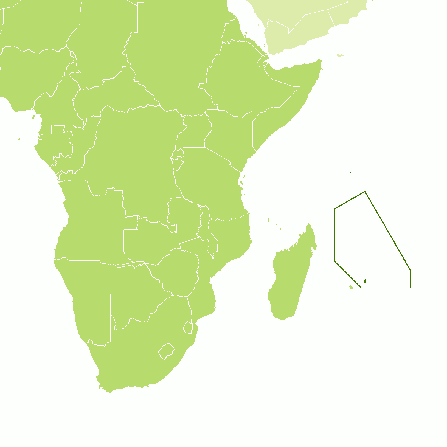
Mauritius is a small but densely populated island consists of a series of volcanic hills rising to a height of 600 to 800 meters (2,000 to 2,600 feet) with a fringing coastal plain. It is situated in latitude 20°S in the Indian Ocean about 800 km (500 mi) east of Madagascar. The island of Rodrigues, an integral part of Mauritius, is located about 560 km (350 mi) to the east. Other offshore islands include the two islands of Agalega to the north. The nation also claims Diego Garcia, a British dependency about 1,900 km (1,200 mi) to the northeast, and a French possession, Tromelin Island, about 555 km (345 mi) to the northwest.
Mauritius has a subtropical oceanic climate with moderately high temperatures and humidity throughout the year. At sea level temperatures range from 18°C to 32°C (64° to 89°F); at an elevation of 460 meters (1,500 feet), they range from 13°C to 26°C (55° to 79°F). Because it is in the tropics, Mauritius’s climate is mostly humid, with prevailing southeast winds. Temperatures never rise to such high levels as to be really uncomfortable, although on occasions the nights may be rather sticky and oppressive. The warmest months are October through April (summer) and the coolest are June through September (winter).
From October to March, southeast trade winds bring heavy rains to the central plateau and windward slopes, which have a yearly average rainfall up to 5,000 mm (200 inches). On the coast, rainfall averages about 1,000 mm (40 inches) annually. The climate of Port Louis illustrates conditions at lower levels on the island. The south and southeast coasts, being exposed to the dominant southeast trade winds, receive almost twice as much rain as Port Louis.
Outside the main rainy season the weather is generally sunny and pleasant, with slightly lower temperatures and a strong sea breeze. Daily showers occur from April to September. The southeast trade winds bring occasional cyclones between December and April.
| Climate data for Port Louis | |||||||||||||
|---|---|---|---|---|---|---|---|---|---|---|---|---|---|
| Month | Jan | Feb | Mar | Apr | May | Jun | Jul | Aug | Sep | Oct | Nov | Dec | Year |
| Average high °C (°F) | 31.5 (88.7) | 31.4 (88.5) | 31.5 (88.7) | 30.7 (87.3) | 29.3 (84.7) | 27.6 (81.7) | 26.7 (80.1) | 26.8 (80.2) | 27.7 (81.9) | 28.8 (83.8) | 30.2 (86.4) | 31.1 (88.0) | 29.4 (85.0) |
| Daily mean °C (°F) | 27.8 (82.0) | 27.7 (81.9) | 27.7 (81.9) | 26.9 (80.4) | 25.4 (77.7) | 23.8 (74.8) | 23.0 (73.4) | 23.0 (73.4) | 23.6 (74.5) | 24.6 (76.3) | 26.0 (78.8) | 27.2 (81.0) | 25.5 (77.9) |
| Average low °C (°F) | 24.1 (75.4) | 24.0 (75.2) | 23.8 (74.8) | 23.0 (73.4) | 21.5 (70.7) | 19.9 (67.8) | 19.3 (66.7) | 19.1 (66.4) | 19.4 (66.9) | 20.4 (68.7) | 21.8 (71.2) | 23.2 (73.8) | 21.6 (70.9) |
| Average precipitation mm (inches) | 131 (5.2) | 160 (6.3) | 83 (3.3) | 87 (3.4) | 48 (1.9) | 24 (0.9) | 18 (0.7) | 19 (0.7) | 17 (0.7) | 15 (0.6) | 24 (0.9) | 85 (3.3) | 711 (27.9) |
| Source: World Meteorological Organization | |||||||||||||
References
- E. A. Pearce, Charles Gordon Smith, (1990) The Hutchinson World Weather Guide, John Murray Press. ISBN 1859863426
- Timothy L. Gall, (ed.), (2003), Worldmark Encyclopedia of the Nations, Eleventh Edition, Thomson Gale
- Hugh Chisholm, (ed.), (1911), Encyclopædia Britannica, Eleventh edition, Cambridge University Press
The Climate of
Mauritius

In summary:
Mauritius has a subtropical maritime climate with temperatures that vary by altitude. At sea level temperatures range from 18°C to 32°C (64° to 89°F). Mauritius’s climate is mostly humid, with prevailing southeast winds. The warmest months are October through April (summer) and the coolest are June through September (winter).
Rain occurs in all months but the wettest period is from December to April. On the coast, annual rainfall averages about 1000 mm (40 in), but is much higher in the mountains. occasional tropical cyclones strike between December and April.