.jpg)
.jpg)
.jpg)
The Geography of
Georgia
Why visit Georgia?
Georgia is a beautiful country with diverse landscapes, and an ancient culture. The history of Georgia is very rich. It has been a part of many empires and has seen a lot of change. Tbilisi, founded in the 5th century, was for centuries a stopping-off point along trading routes between Europe and the Far East. The country is also very diverse: it is bordered by the Black Sea to the west, and the Armenian and Turkish highlands to the South. The north is dominated by the Caucasus mountains, and the central and southern parts, while mountainous, are much lower and are covered with alpine fields and forests.
Contents
Map
 Relief map of Georgia
What is the landscape of Georgia like?
Greater Caucasus
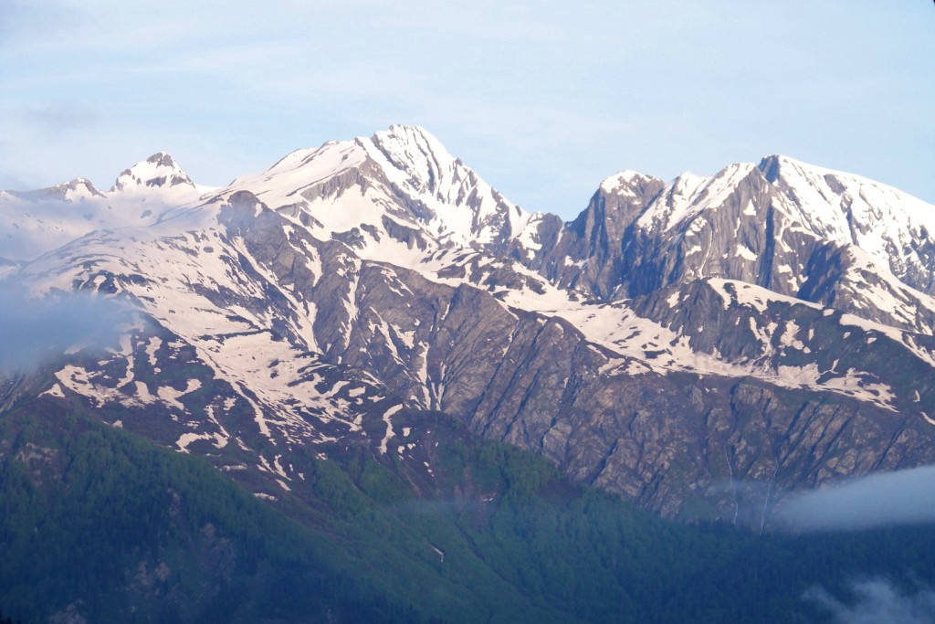
In the north of Georgia is the Greater Caucasus range, forming an almost solid wall from the Black Sea to the Caspian Sea. It stretches across the border with Russia, and it is the tallest mountain range in the country. It is similar in character to the Alps but much higher, up to 5,642 meters (18,510 feet) on Mount Elbrus (in Russia). The Greater Caucasus is shorn through by numerous glens and gorges, and where the rainfall is heavy, they are densely clothed with plantlife.
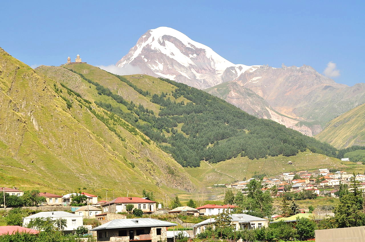
The central chain of the Caucasus consists of a number of short parallel or curved horseshoe ridges, crowned with rocky peaks and enclosing basins filled by snow fields and great glaciers. Mount Shkhara 5,193 meters (17,000 feet), on the Georgian-Russian border, is the highest peak in Georgia. Mount Kazbek at 5,054 meters (16,581 feet), also in this chain, is the highest mountain fully within Georgia's borders.
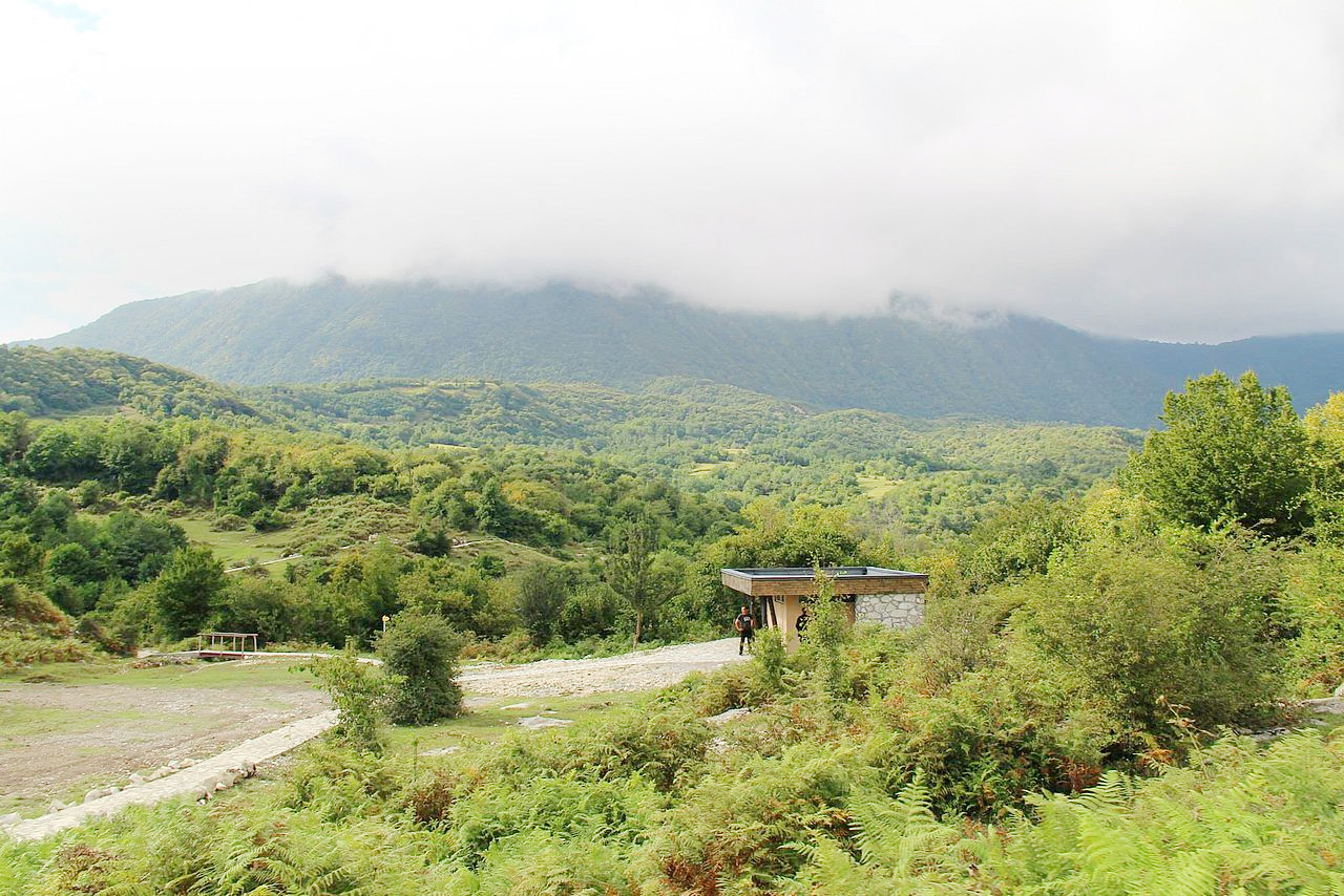
Lesser Caucasus
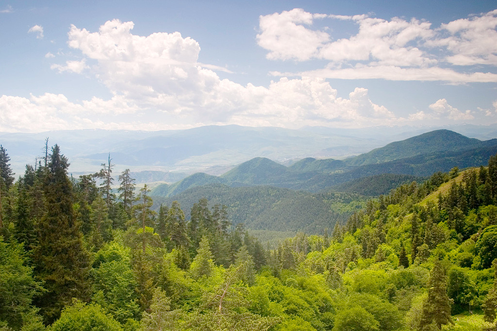
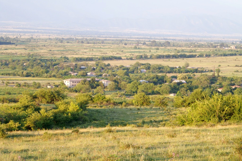
In the south are the Lesser Caucasus mountains. This region extends into the mountainous, volcanic Armenian Plateau. The Lesser Caucasus peaks rarely exceed 3,000 meters (10,000 feet). There are many large lakes in this region, and the largest natural lake in Georgia is Lake Paravani in the south-central area and covers an area of about 37 square kilometers (14 square miles).
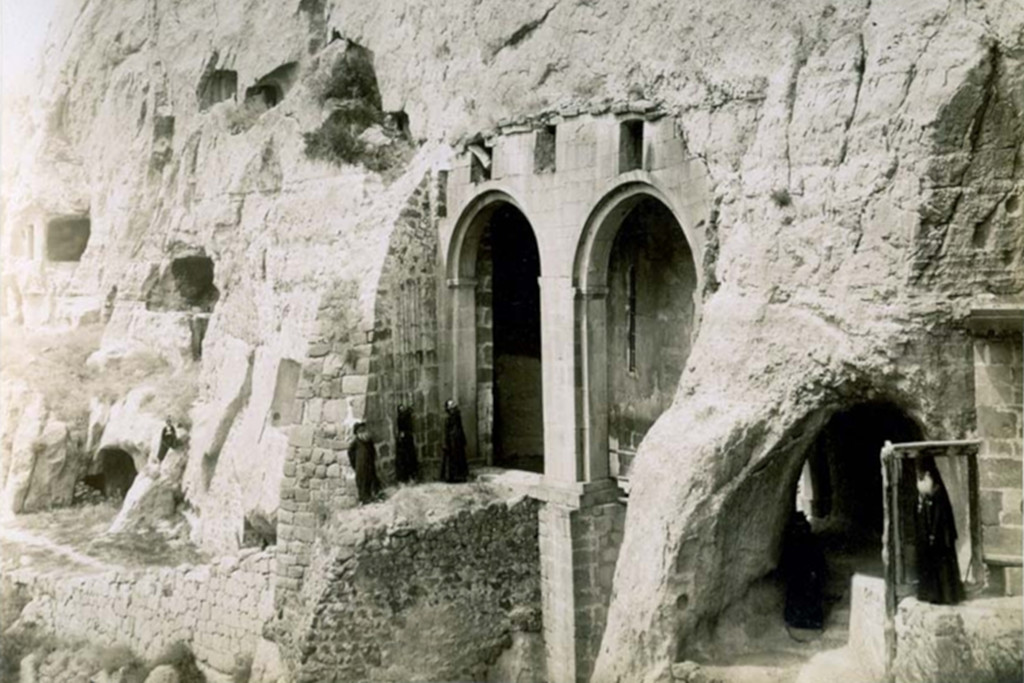
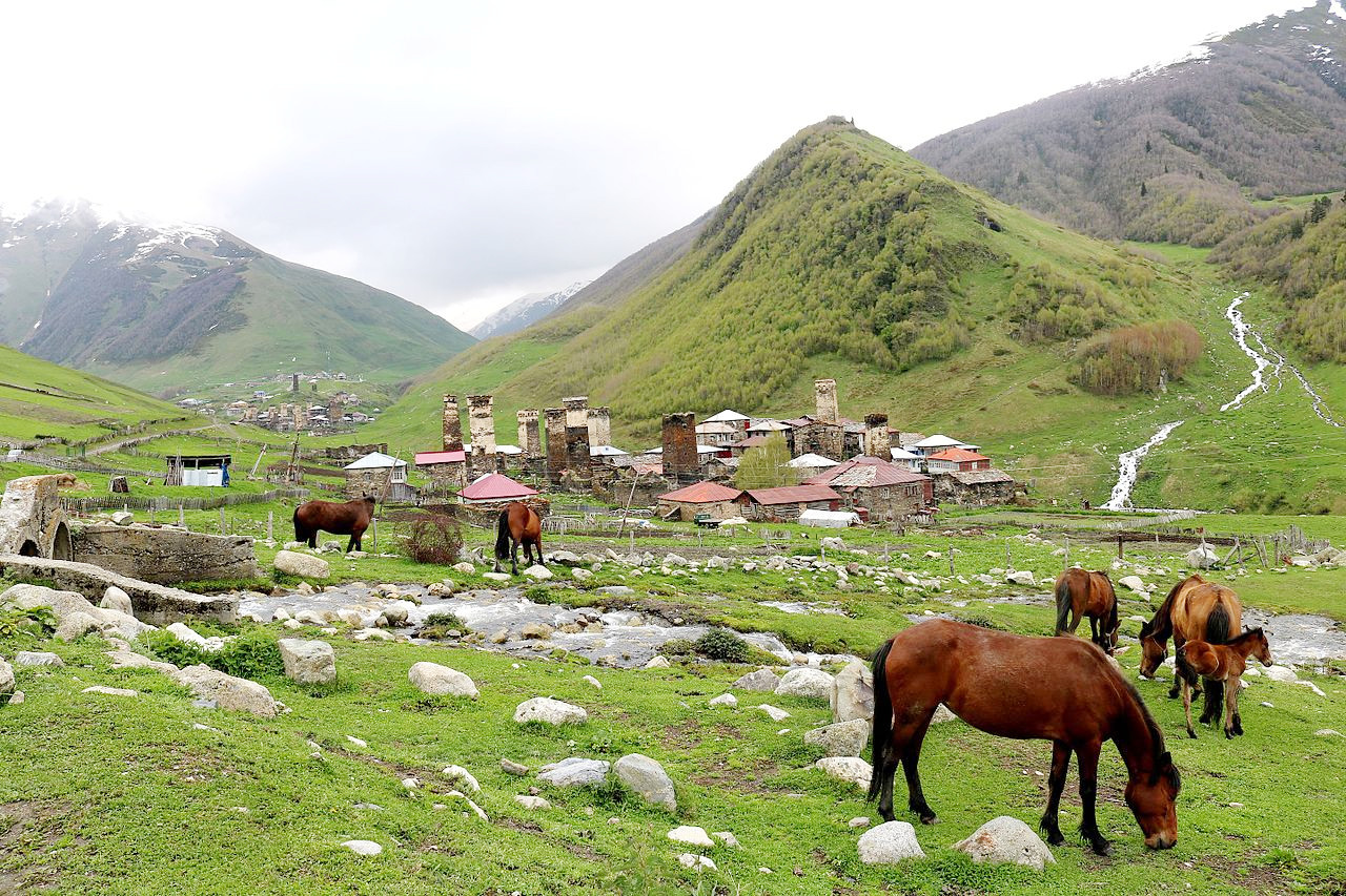
One of the highlights in this region is Vardzia, a cave monastery complex near the border with Armenia which was built in the twelfth century by Queen Tamar. The complex stretches for five hundred meters along the Mtkvari River. It includes a large cathedral, as well as a number of smaller churches, wine cellars, feast halls, and hundreds of small cells, which served as living quarters for the monks.
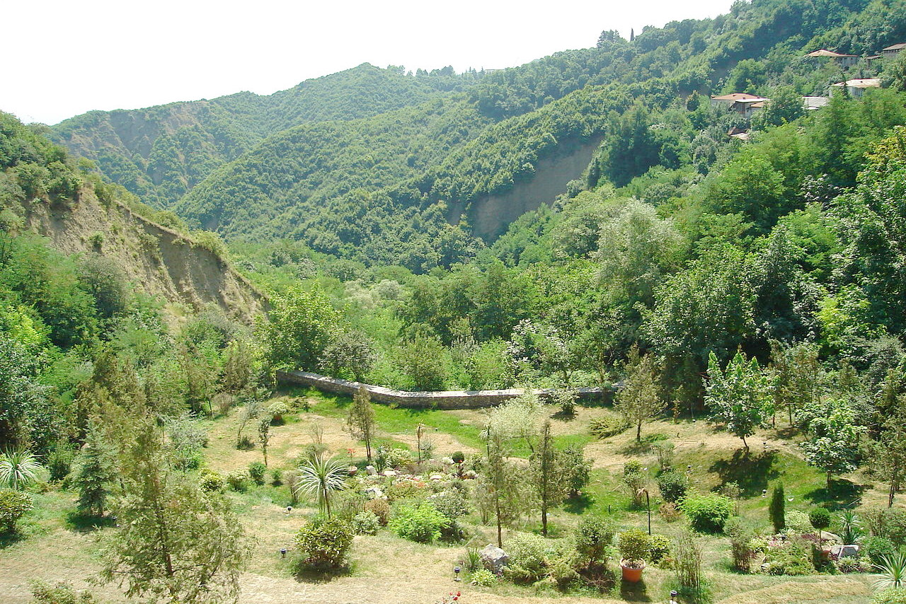
Between the Greater and Lesser Caucasus Ranges lie the Likhi Range (or Suram Range) which follow a northeast-southwest path across the center of the country. The Likhi Range separates the subtropical valleys and coastal plains where the majority of people in Georgia live.
Western Lowlands
_in_Batumi,_Georgia_on_June_23,_2020.jpg)
In the west of Georgia is the Kolkhida Lowland. Here Georgia's shoreline lies, at the easternmost edge of the Black Sea. The Black Sea is a tideless, nearly landlocked body of water that lies between southeastern Europe and Asia Minor. It connects to the Sea of Marmara to the southwest through the Bosporus Strait. The principal Black Sea ports in Georgia are Poti and Batumi.
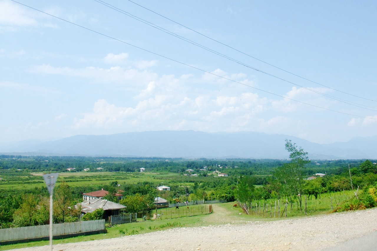
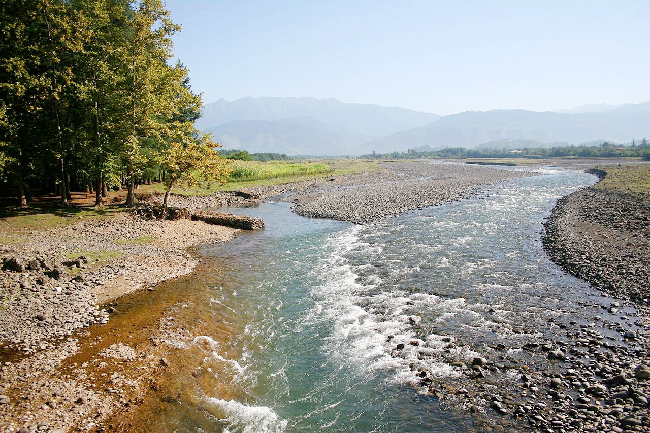
The Kolkhida Lowland is a humid subtropical lowland and the most densely populated part of Georgia. This is the great farming region of Georgia where specialty crops such as tea, tung oil, silk, and grapes, are grown. The largest river in western Georgia, the Rioni River, flows from the Greater Caucasus into the Black Sea at the port of Poti.
Eastern Plateau
East of the Likhi Range a high plateau follows the Mtkvari River to the border with Azerbaijan. The Mtkvari (or Kura) River is the largest river in Georgia. It flows 1,514 kilometers (941 miles) from its source in Turkey across the plains of eastern Georgia, through the capital, Tbilisi, and on into Azerbaijan before entering the Caspian Sea. Further east, a semiarid region called the Iori Plateau borders the Iori River.
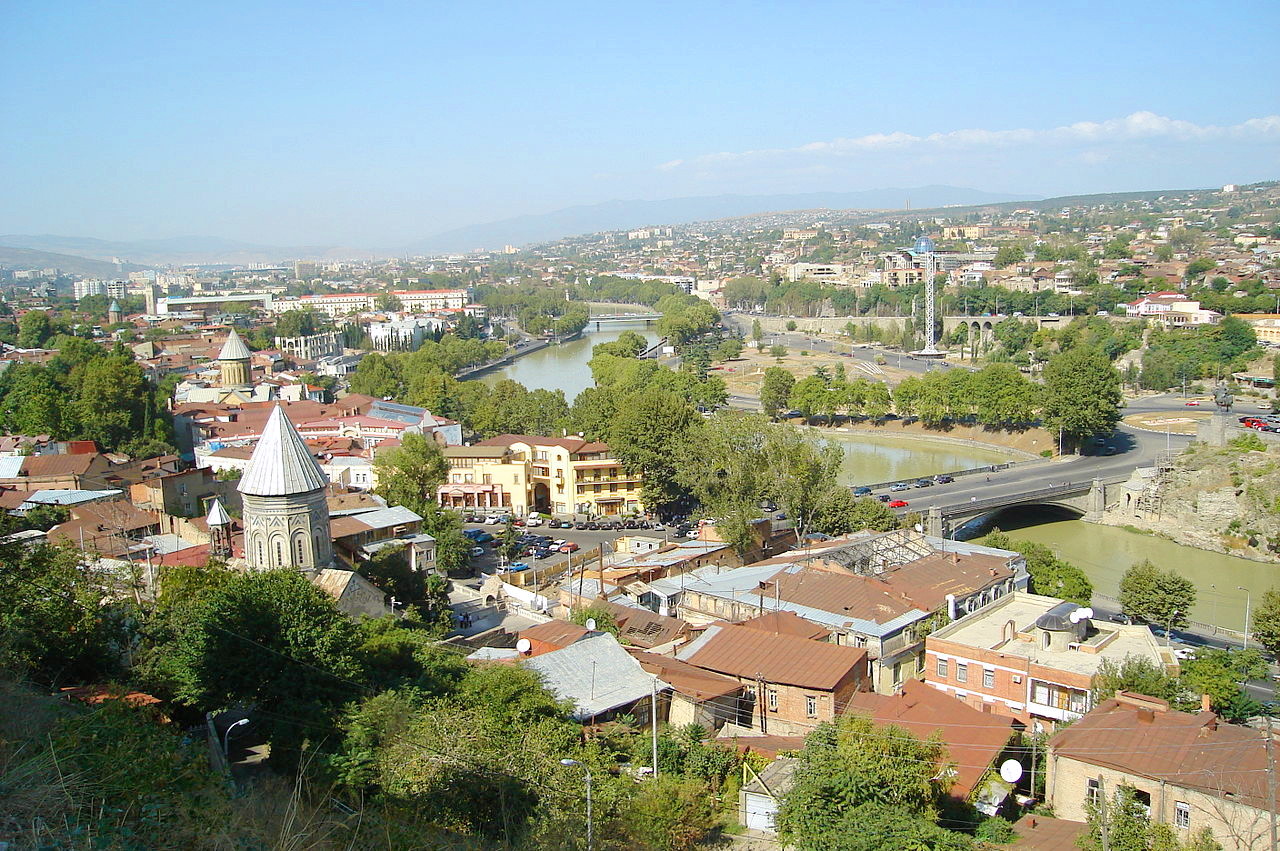
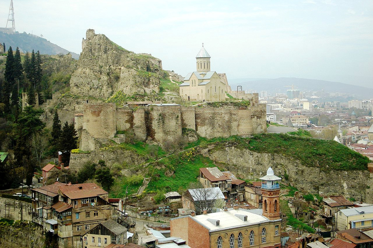
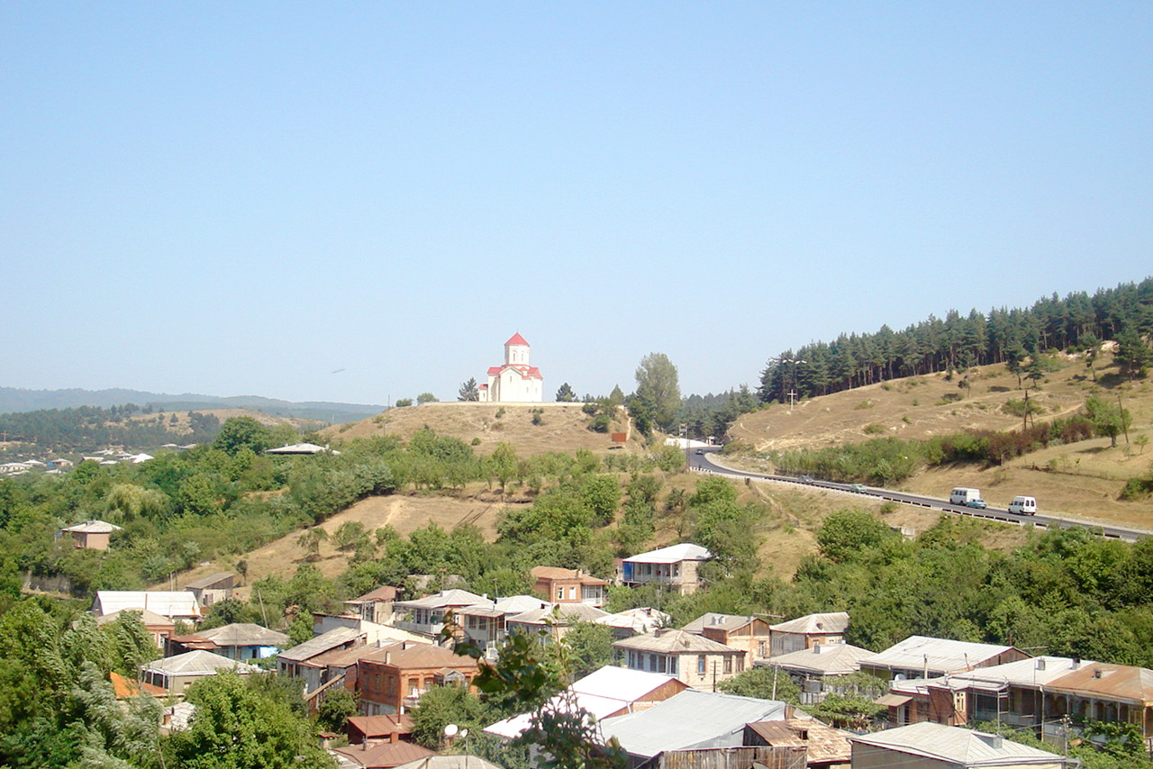
Tbilisi, the capital, was founded by King Vakhtang Gorgasali in the fifth century, and continues to be the most important political and cultural center of the country. It is located in the culturally dominant eastern region, Kartli, on the ancient crossroads of one of the great silk roads between Europe and Asia.
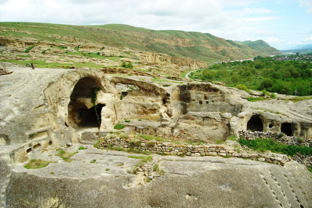
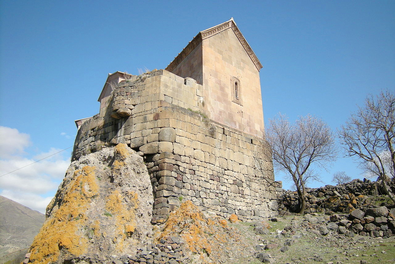
The cave towns of Georgia are among the most significant historical monuments of the country. These are ancient towns built entirely of caves that include both natural caves and those hand-carved into the mountains and hills. The ancient city of Uplistsikhe, dating from the sixth century B.C. is located near Gori and carved into a rocky plateau that forms a bank of the Mtkvari River. Besides living quarters, the complex includes huge banquet halls, long corridor-shaped streets, chapels for pagan worship and the remains of Georgia's oldest theater. Similarly the David Gareja Complex is also a cave monastery system which was founded by the Syrian monk David of Gareja, who lived in a natural cave that became the center of the complex. Located south of Tbilisi, it is built into a hill area near the separation of the Mtkvari and Iori Rivers, and includes at least twelve individual cave dwellings.
What is the nature of Georgia like?
.jpg)
Georgia is a mixture of gently rolling plains and high mountains. The Black Sea coast of the Caucasus Mountains has a distinctive plantlife: woods of black alder, oak, elm, and beech with a profusion of lianas and evergreens. In the Caucasian mountains the trees include ash, fir, pine, beech, acacia, maple, birch, box, chestnut, laurel, holm-oak, poplar, elm, lime, yew, elder, willow, and oak. The common box is especially prevalent, but the dominant species at altitude are conifers, including the Caucasian species: Nordmann fir and Caucasian spruce.
.jpg&oldid=522135629)
.jpg&oldid=522390262)
.jpg&oldid=497196562)
_in_Batumi,_Georgia_on_June_23,_2020.jpg&oldid=432091672)
.jpg&oldid=524350810)
A great variety of shrubs grow on the slopes of the Caucasus, including many of the more beautiful open-air flowering plants such as magnolia, azalea, camellia, begonia and paulownia. The slopes of the Lesser Caucasus are clothed with fine forests, while further east there are wide-stretching steppes. The vegetation of the steppe is on the whole scanty: trees are often absent, except for thickets of poplars, dwarf oaks and tamarisks along the course of the Mtkvari River.
What is the climate of Georgia like?
See our main article: The Climate of Georgia
Georgia experiences a Mediterranean style climate along the Black Sea coast where the weather is notably humid, warm, and pleasant. The Greater Caucasus Mountains to the north protect this area from any truly cold weather. Even in winter, the average temperature is 5°C (41°F), and the average July temperature along the coast is 23°C (74°F). To the east the plateau region around Tbilisi has a more continental climate with hot summers and cold winters. The climate becomes cooler in the mountains, with alpine conditions starting at about 2,100 meters (6,800 feet).
Rainfall is highest in the fertile lowlands of the west. At higher altitudes, humidity is lower and rainfall much reduced. In the highest mountains above 3,600 meters (12,000 feet), the mountains are covered with snow and ice year-round.
| Climate data for Tbilisi (1981–2010) | |||||||||||||
|---|---|---|---|---|---|---|---|---|---|---|---|---|---|
| Month | Jan | Feb | Mar | Apr | May | Jun | Jul | Aug | Sep | Oct | Nov | Dec | Year |
| Average high °C (°F) | 6.6 (43.9) | 7.6 (45.7) | 12.3 (54.1) | 18.6 (65.5) | 22.8 (73.0) | 27.7 (81.9) | 31.1 (88.0) | 30.9 (87.6) | 26.1 (79.0) | 19.4 (66.9) | 12.4 (54.3) | 7.6 (45.7) | 18.7 (65.7) |
| Daily mean °C (°F) | 1.3 (34.3) | 2.7 (36.9) | 6.8 (44.2) | 12.6 (54.7) | 17.0 (62.6) | 21.5 (70.7) | 24.5 (76.1) | 23.9 (75.0) | 19.5 (67.1) | 13.2 (55.8) | 7.7 (45.9) | 3.3 (37.9) | 12.8 (55.0) |
| Average low °C (°F) | −1.0 (30.2) | −0.7 (30.7) | 2.8 (37.0) | 8.0 (46.4) | 12.4 (54.3) | 16.6 (61.9) | 20.0 (68.0) | 19.7 (67.5) | 15.7 (60.3) | 10.4 (50.7) | 4.6 (40.3) | 0.4 (32.7) | 9.1 (48.4) |
| Average precipitation mm (inches) | 20.2 (0.80) | 26.5 (1.04) | 32.8 (1.29) | 56.4 (2.22) | 86.2 (3.39) | 72.1 (2.84) | 48.2 (1.90) | 43.8 (1.72) | 42.7 (1.68) | 42.7 (1.68) | 35.2 (1.39) | 25.0 (0.98) | 531.6 (20.93) |
| Source: World Meteorological Organization | |||||||||||||
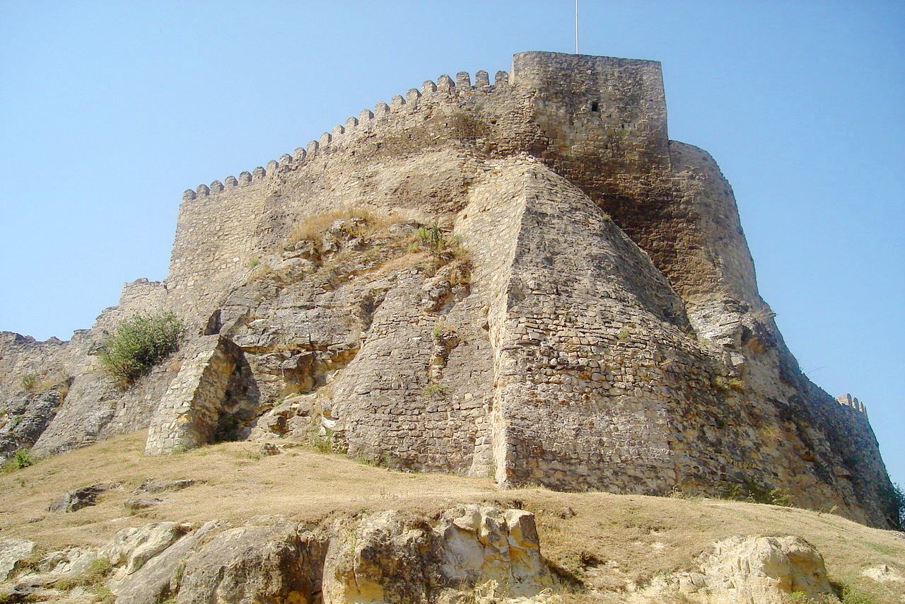 Medieval fortress in Surami in central Georgia
The official websites
Georgia
“Europe started here”
| Location: | Between Asia and Europe, bordering the Black Sea, Turkey and Russia |
| Coordinates: | 42° 00′ N, 43° 30′ E |
| Size: | • 280 km N-S; 550 km E-W • 175 miles N-S; 340 miles E-W |
| Terrain: | Lowland in the west; highland steppe in the east; high mountains in the north and south |
| Climate: | Mediterranean-like on the coast; becoming continental inland; alpine in the mountains |
| Highest point: | Mount Shkhara 5,193 m / 17,000 ft |
| Forest: | 39.4% (2011 est.) |
| Population: | 4,933,674 (July 2021 est.) |
| Population density: | Medium (58/km²) |
| Capital: | Tbilisi |
| Languages: | Georgian (official) 87.6%, Azeri, Abkhaz, Armenian, Russian |
| Human Development Index: | Very high (0.812) |
| Currency: | Lari |