.jpg)
The Geography of
Romania
Why visit Romania?
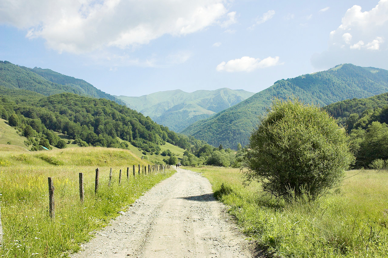
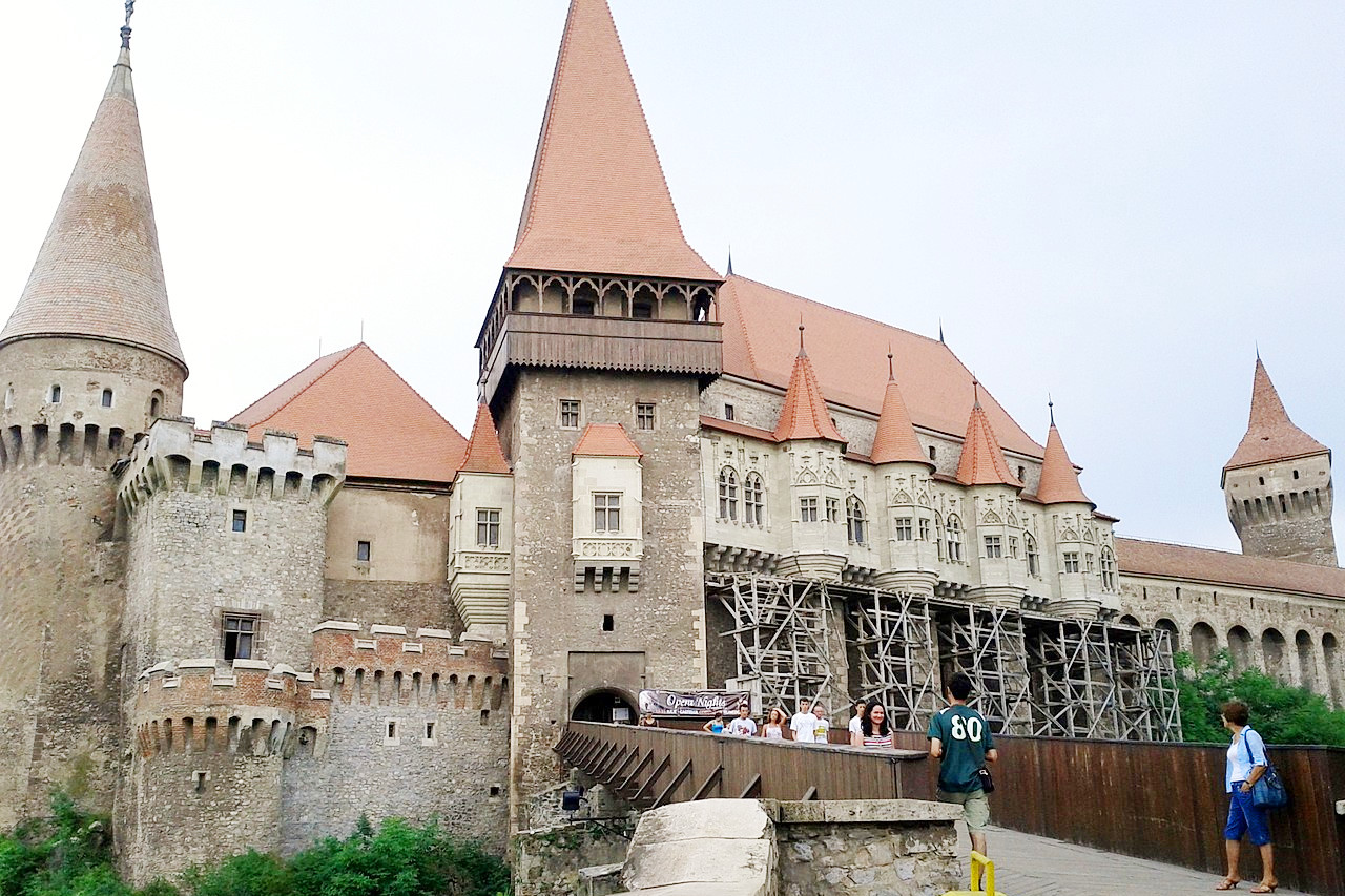
Romania is a beautiful country with a lot to offer visitors. The Carpathian Mountains at its center descend step-like toward its plains, which are crisscrossed with rivers. Romania has the Black Sea with its magnificent beaches, the Danube Delta, lakes, and many rivers. The spring offers flowers and festivals; the summer, sun and sea; the autumn, harvest festivals; and the winter, snow and skiing in the mountains. Then there are the picturesque villages and the incredible architecture. The latter includes remarkable ruins of the ancient Greek, Dacian and Roman civilizations, while on every hand one may see churches, castles and palaces of the Middle Ages.
Contents
Map
 Relief map of Romania
What is the landscape of Romania like?
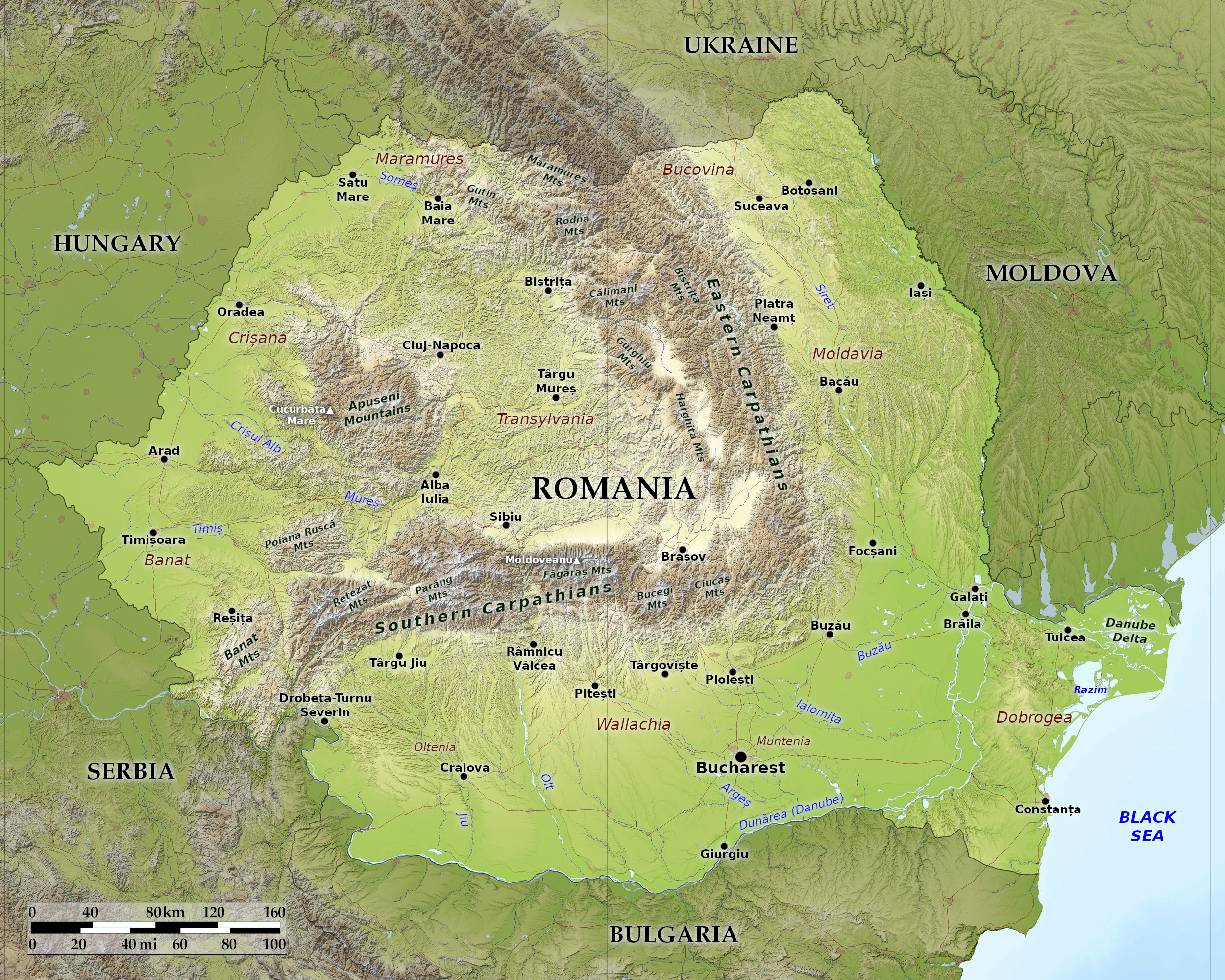
The modern state of Romania corresponds very closely in extent with the limits of the old Roman province of Dacia. The name of the country and the language of the people are heritages of the Roman occupation.
Romania consists of: (1) A small section of the Hungarian plains to the west of Transylvania. (2) Transylvania—part of the great Alpine system of Europe. (3) The low plains to the east of Transylvania, which extend to the River Danube in the south and to the River Dniester in the east. (4) The low plateau of the Dobruja.
The Western Plains
In the far west is a boderland which is part of the Great Hungarian Plain. Here are some of the most productive agricultural lands of Romania, where high yields of wheat and maize are obtained. The chief city is Timișoara.
Transylvania
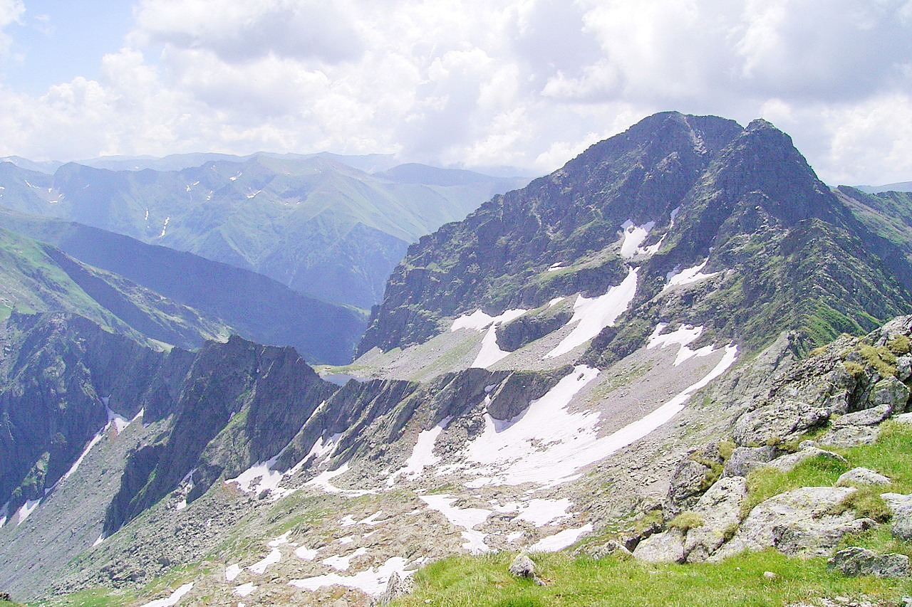
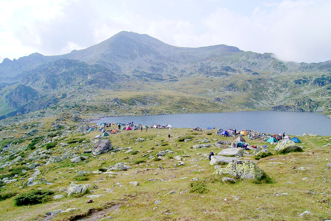
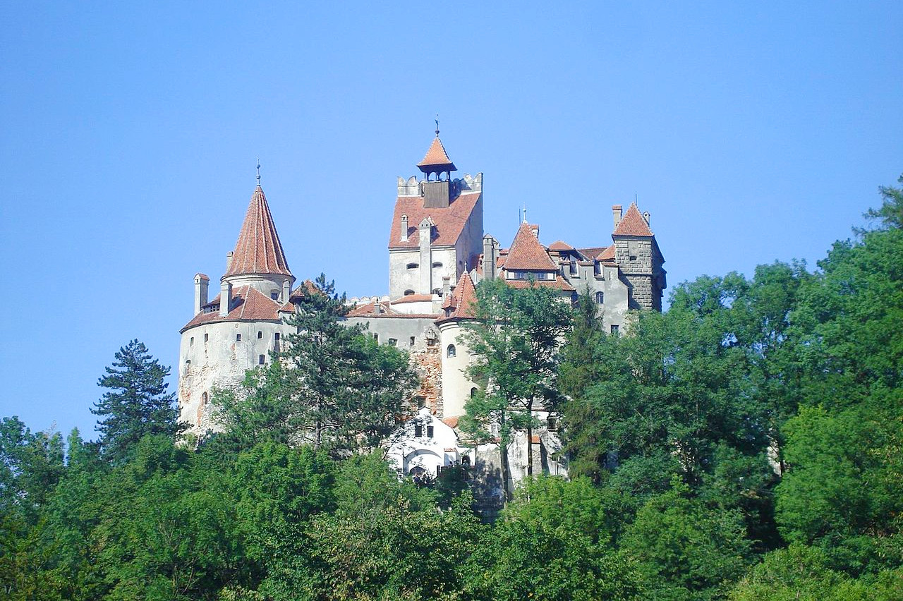
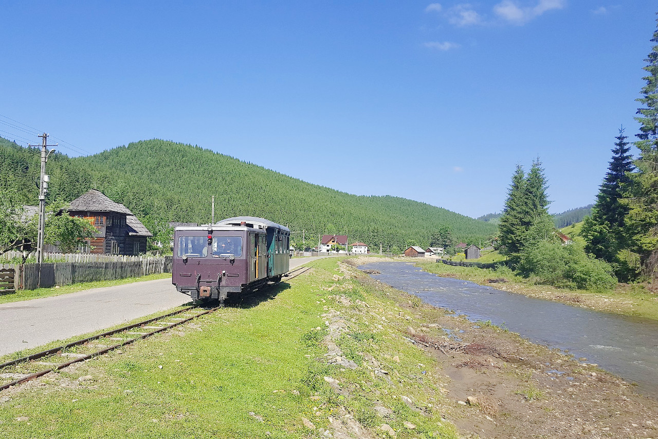
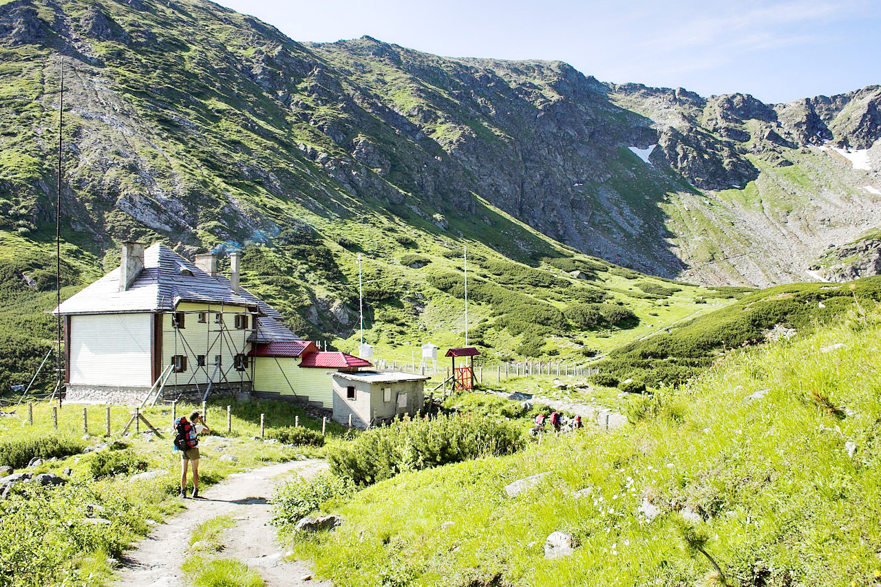
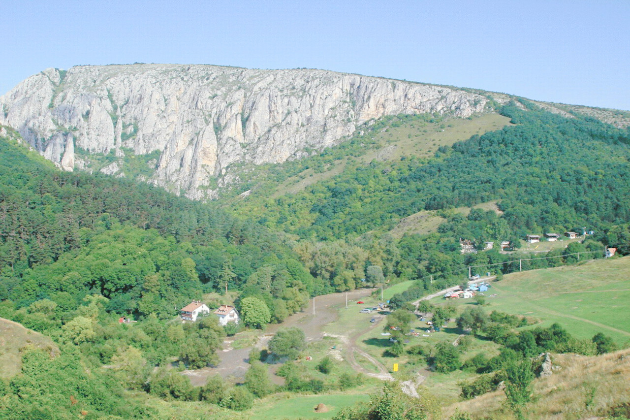
The legendary home of Count Dracula. Transylvania consists of a plateau basin surrounded to the east and south by the Carpathian Mountains. Within its borders rise the River Mureș which drains westward to the Danube, and the River Olt which flows southward through a deep gorge (the Red Tower Pass), so linking the plateau with the plains of Wallachia. Much of Transylvania is rich in forests of beech and oak, with conifers at higher altitudes. The ski season (January-April) attracts novices and experts with a wide choice of slopes; also bobsled and toboggan runs.
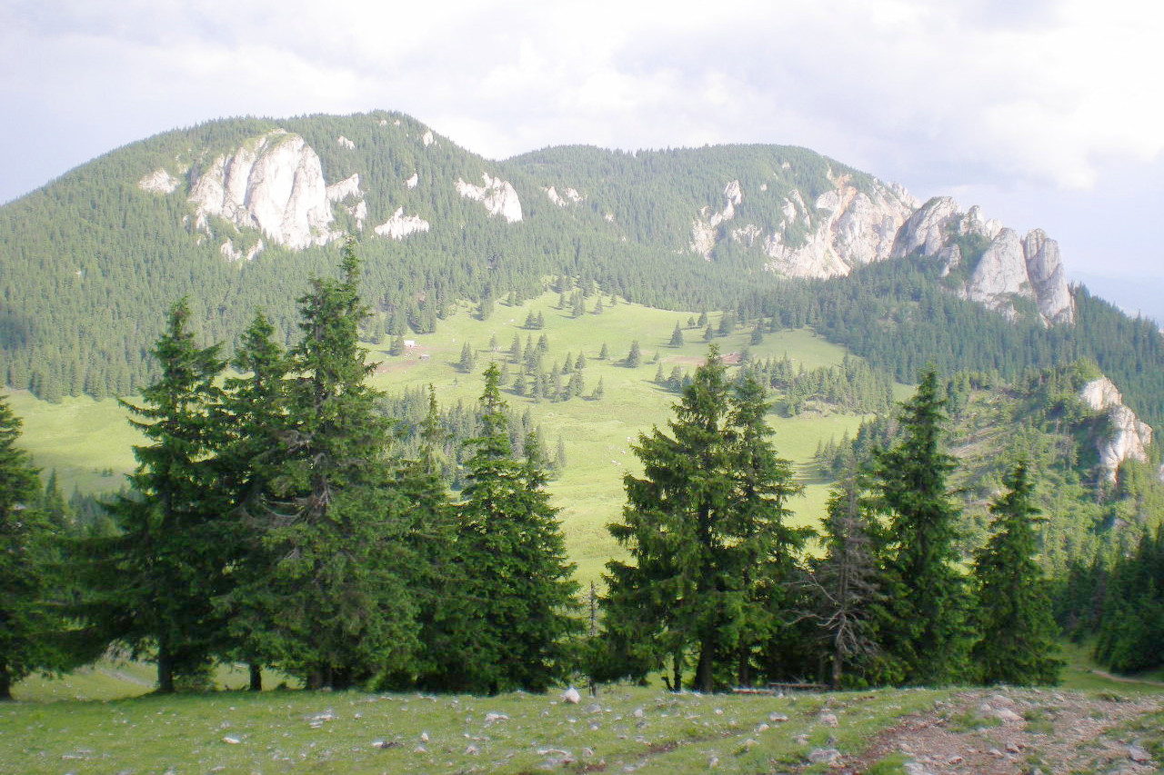
The Carpathians are a continuation of the Alps, but they are lower, narrower, and simpler in structure. Summits still reach 2,500 meters (8,000 feet); and forests clothe the steeper, occasionally inaccessible, slopes below and spread out over the foothills. Rows of glacial cirques have been nibbled in the edges of the valley walls of the Fagaras mountains, east of the Red Tower Pass.
Moldavia
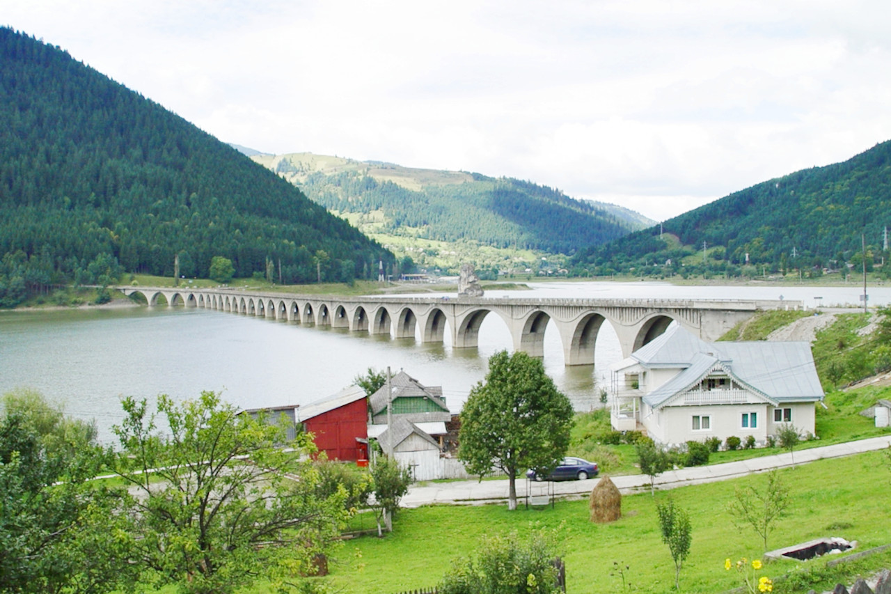
Moldavia is hilly to rolling countryside almost everywhere except on the upland remnants. Valleys contain broad flood-plains with marshes, bayous, and meandering rivers. This enchanting region is known for the blue houses of the rural people who have decorated them with elaborate carvings, and for the many Orthodox churches and monasteries covered inside and out with brilliant frescoes. Painted in the 15th and 16th centuries, these infinitely detailed pictures are unique in the world for their freshness of color undimmed by time or weather.
Wallachia
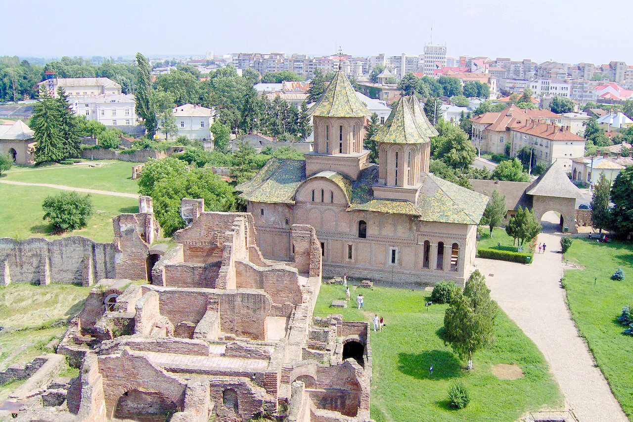
Situated on the sunny slope of the Carpathians, Wallachia is the region of extensive plains to the south of Transylvania and drained by numerous rivers flowing to the Danube. Wallachia has a rather dry climate; there are fewer forests here, instead the soil has developed under grasses and much farming occurs. Marshes occur in many places. Willows and reeds mark the river courses, which are frequented by wild ducks, geese, pelicans, coots, herons, storks, and plover.
Bucharest, the capital of Romania, has a long history in an important central position where it commands routes across the Wallachian Plains into the mountain passes to Ukraine, Hungary, and Bulgaria. Invader and merchant from east and south have long been drawn to it.
Dobrogea
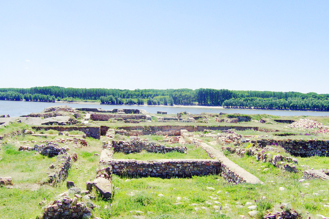
Dobrogea is a fertile low limestone plateau with decent forests. For many years a poor and scantily-populated steppe region devoted to the rearing of sheep, it is now settled and cultivated. To the east of Dobrogea lies the wide delta of the lower Danube, known for its water birds. Along the Black Sea coast, Romania offers miles of the finest beaches in Europe.
What is the nature of Romania like?
.jpg&oldid=658204828)
Romania's terrain is evenly split between mountains, hills, and plains. The countryside reflects a rather ad hoc form of agriculture; orchards and vineyards are often charmingly disorderly. There are green and lush areas flecked with haystacks, bright yellow sunflower fields, and dense forests. The mountains can be snowcapped or verdant depending on the season. Alpine vegetation and sheep and goat pastures cover the mountain uplands; conifers clothe the upper slopes, deciduous trees the lower slopes and foothills. The valleys have fewer trees but nourish many villages on their rich, warm, soils.
One of the country's most interesting geographical areas is the Danube Delta (Delta Dunării), Europe's largest and best-preserved delta. Now a UNESCO World Heritage Site, it is home to 300 species of birds, 1,200 kinds of plants, and forty-five species of freshwater fish.
What is the climate of Romania like?
See our main article: The Climate of Romania
Romanian climate is mostly continental with a touch of the Mediterranean. Usually winters are cold, snowy, and windy. Springs are short and rainy and pass quickly to summer, which becomes dry, particularly in eastern parts. Along the Black Sea coast, winters are mild and sunny and summers are warm and breezy. Inland temperatures are much colder in winter and hotter in summer. The Carpathian Mountains, so popular for winter sports, receive some of the heaviest, most reliable snowfalls in all Europe. Rainfall is quite high in the mountains, and the Transylvanian Basin is well-watered; eastern regions, on the other hand, occasionally see long droughts.
| Climate data for Bucharest (1981–2010) | |||||||||||||
|---|---|---|---|---|---|---|---|---|---|---|---|---|---|
| Month | Jan | Feb | Mar | Apr | May | Jun | Jul | Aug | Sep | Oct | Nov | Dec | Year |
| Average high °C (°F) | 2.8 (37.0) | 5.5 (41.9) | 11.4 (52.5) | 18.0 (64.4) | 24.0 (75.2) | 27.7 (81.9) | 29.8 (85.6) | 29.8 (85.6) | 24.6 (76.3) | 17.9 (64.2) | 9.8 (49.6) | 3.8 (38.8) | 17.1 (62.8) |
| Daily mean °C (°F) | −1.3 (29.7) | 0.4 (32.7) | 5.4 (41.7) | 11.2 (52.2) | 16.8 (62.2) | 20.6 (69.1) | 22.5 (72.5) | 22.0 (71.6) | 16.9 (62.4) | 11.0 (51.8) | 4.7 (40.5) | 0.2 (32.4) | 10.8 (51.4) |
| Average low °C (°F) | −4.8 (23.4) | −4.0 (24.8) | 0.1 (32.2) | 4.9 (40.8) | 9.6 (49.3) | 13.6 (56.5) | 15.4 (59.7) | 14.9 (58.8) | 10.5 (50.9) | 5.4 (41.7) | 0.6 (33.1) | −3.4 (25.9) | 5.2 (41.4) |
| Average precipitation mm (inches) | 37 (1.5) | 37 (1.5) | 44 (1.7) | 50 (2.0) | 56 (2.2) | 83 (3.3) | 70 (2.8) | 56 (2.2) | 64 (2.5) | 53 (2.1) | 46 (1.8) | 48 (1.9) | 643 (25.3) |
| Average snowfall cm (inches) | 13.7 (5.4) | 11.0 (4.3) | 10.5 (4.1) | 1.5 (0.6) | 0.0 (0.0) | 0.0 (0.0) | 0.0 (0.0) | 0.0 (0.0) | 0.0 (0.0) | 0.0 (0.0) | 8.8 (3.5) | 10.5 (4.1) | 56.0 (22.0) |
| Source: www.pogodaiklimat.ru | |||||||||||||
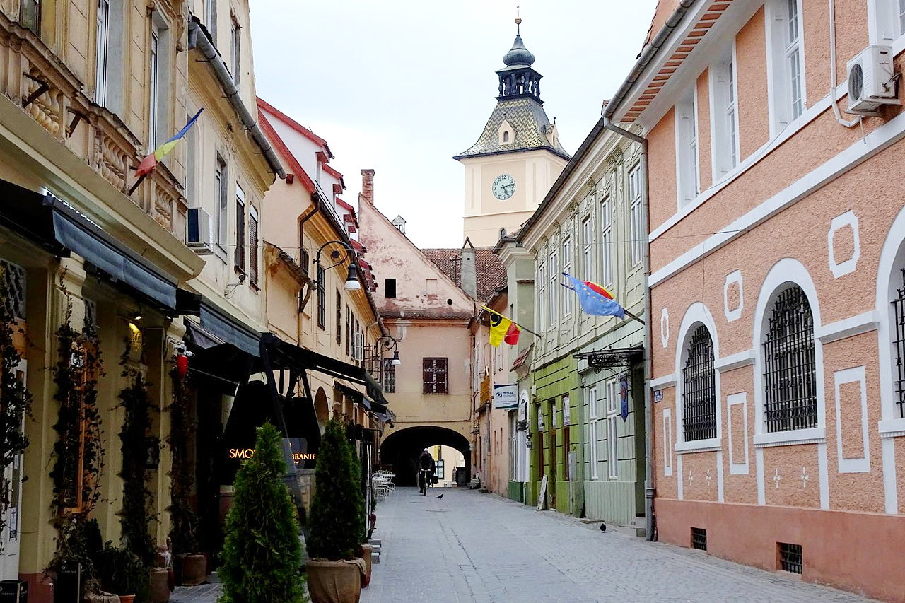 Piața Enescu in Brașov
The official websites
Romania
Explore the Carpathian Garden
| Location: | Southeastern Europe, bordering the Black Sea, and straddling the Carpathian Mountains |
| Coordinates: | 45° 45′ N, 25° 00′ E |
| Size: | • 525 km N-S; 740 km E-W • 325 miles N-S; 460 miles E-W |
| Terrain: | The Carpathian Mountains form an arc in the center of the country encompassing the Transylvanian Plateau. Wallachia in the south is the major lowland region |
| Climate: | Continental climate moderated by the Black Sea; cold winters and warm summers |
| Highest point: | Moldoveanu Peak 2,544 m / 8,346 ft |
| Forest: | 32% (2010 est.) (source) |
| Population: | 19,186,201 (2021 est) |
| Population density: | Low (80/km²) |
| Capital: | Bucharest |
| Languages: | Romanian 90%; Hungarian 6%; Vlax Romani 1% |
| Human Development Index: | Very high (0.828) |
| Currency: | Leu |