The Geography of
The Dodecanese
Why visit the Dodecanese?
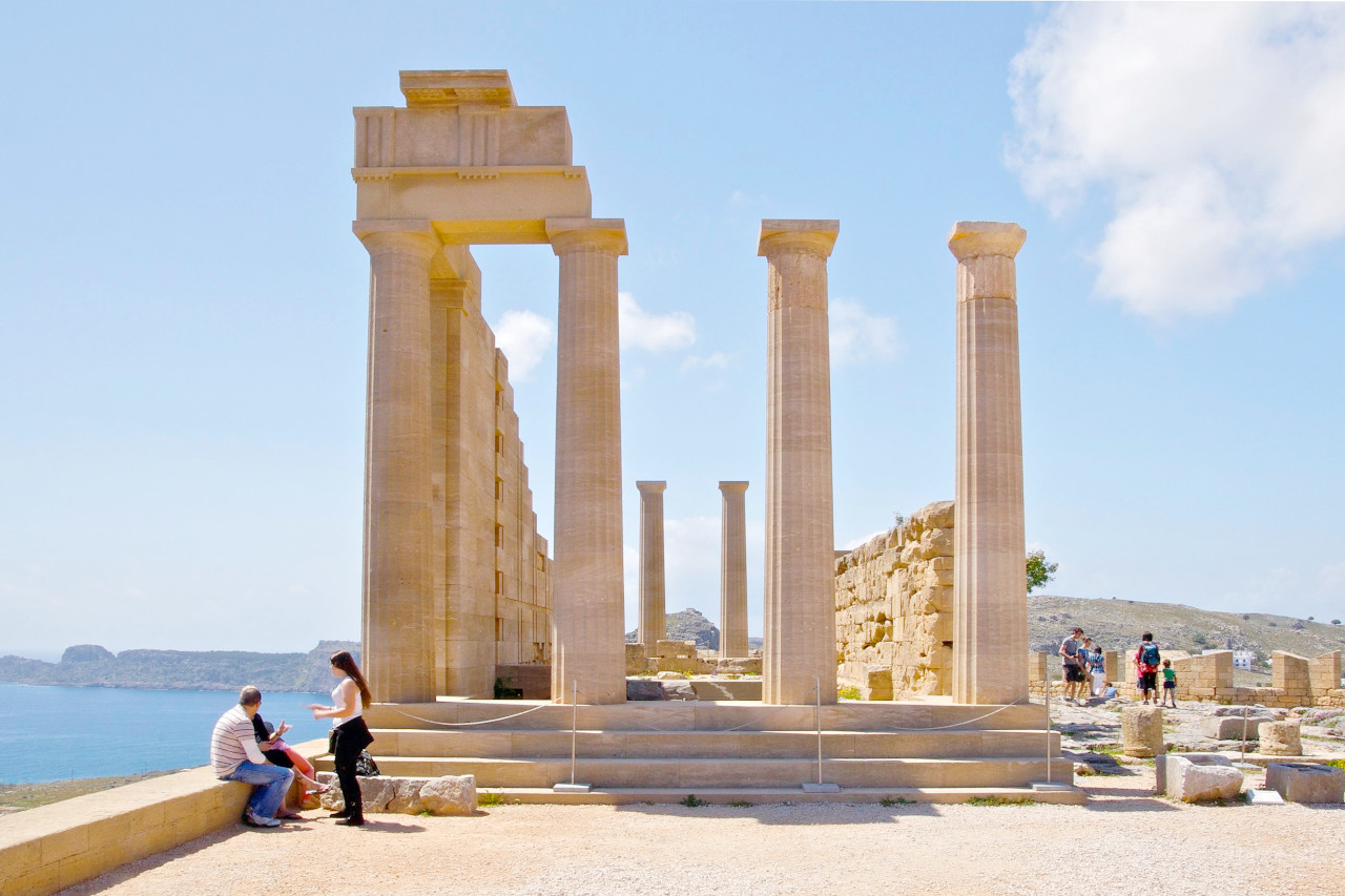
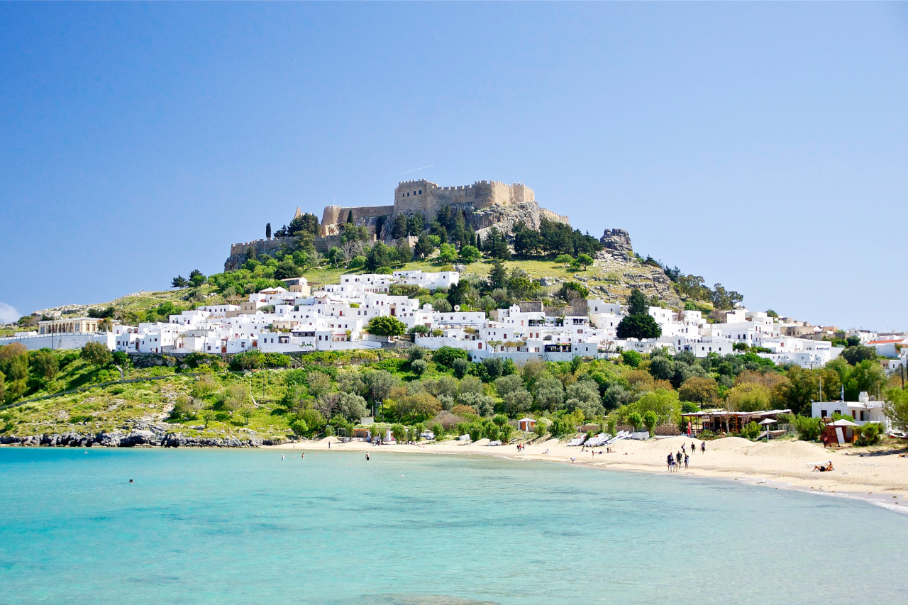
Since ancient times, the islands of the Dodecanese have drawn the curious traveller to their shores, keen to experience the fascinating history, glorious climate, and extraordinary natural beauty. Rhodes with its ancient ruins, and the splendid acropolis and temple of Lindos. Kos, with its gentle flowering landscape; and other islands like Patmos and Kalymnos, wild and rugged; each island has a distinctive character of its own.
Contents
Map
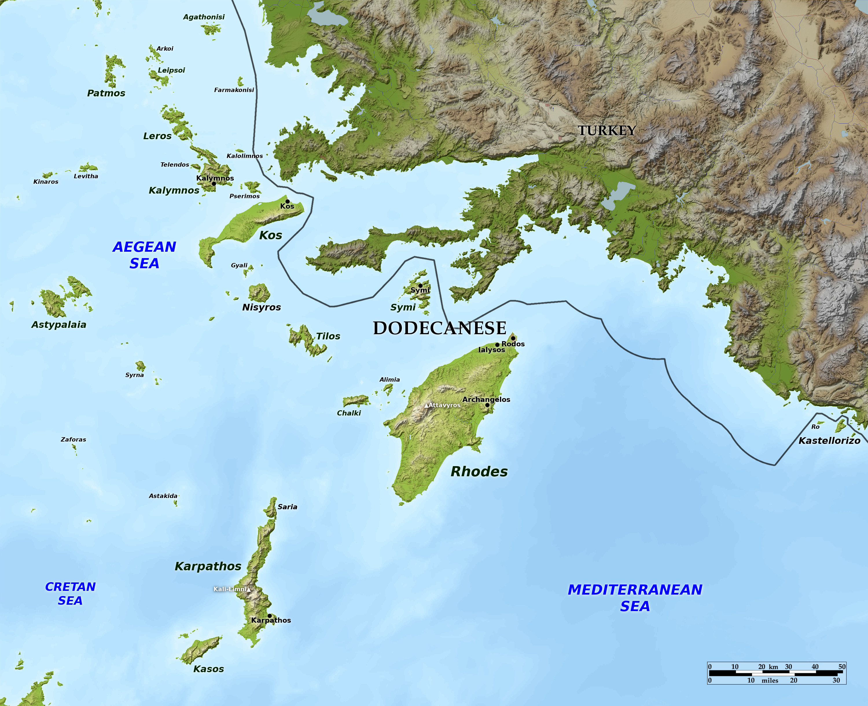 Relief map of the Dodecanese
What is the landscape of the Dodecanese like?
The Dodecanese is composed of a group of islands and islets, which lie farthest from Greece, amid the blue waters of the Aegean Sea. The most important and largest islands of this group are the following:—Patmos, Astypalaia, Leros, Kalymnos, Kos, Nisyros, Chalki, Tilos, Symi, Rhodes, Karpathos, and Kasos—twelve in number, which explains the Greek name of the Dodecanese, derived from two Greek words, dodeca (twelve) and nesos (island).
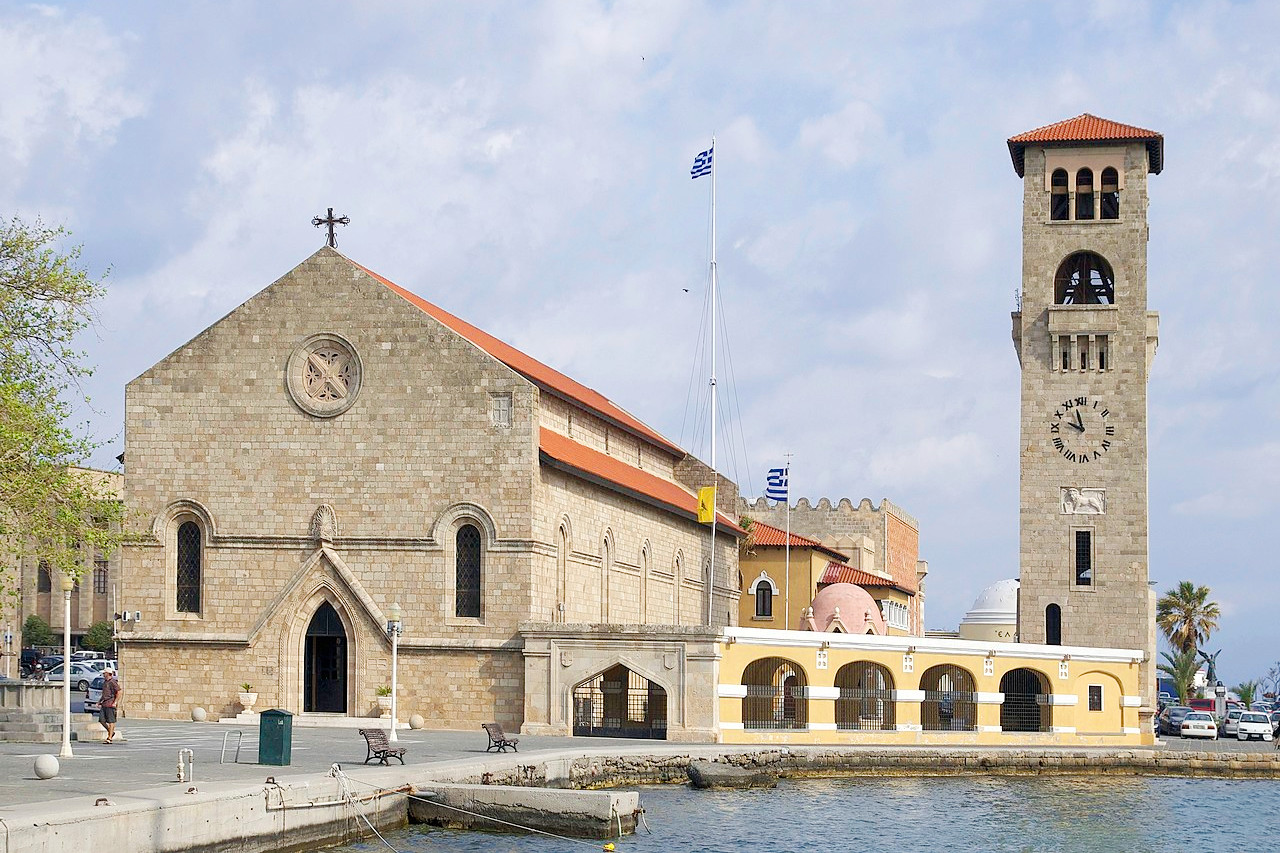
Rodos (Rhodes) is the largest and most beautiful of the Dodecanese islands. It is traversed from north to south by a mountain range, the highest point of which is Mount Attavyros at 1,216 meters (3,990 feet). It commands a view of the Dodecanese islands on the northwest; while on the southwest is seen Mount Ida in Crete, often veiled in cloud. The rest of the island is occupied in great part by ranges of hills, on which are found extensive woods of ancient pines. Famous sights include the ancient cities of Lindos, with its Sanctuary of Athena Lindaia on its acropolis overlooking the sea; the Kamiros whose excavations reveal life in ancient times in the same detail as Pompeii does a later period; the valley of butterflies; and the Monastery of Philerimos, among other points of interest.
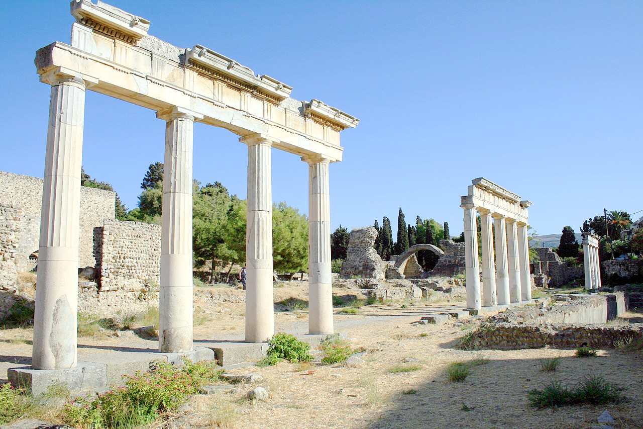
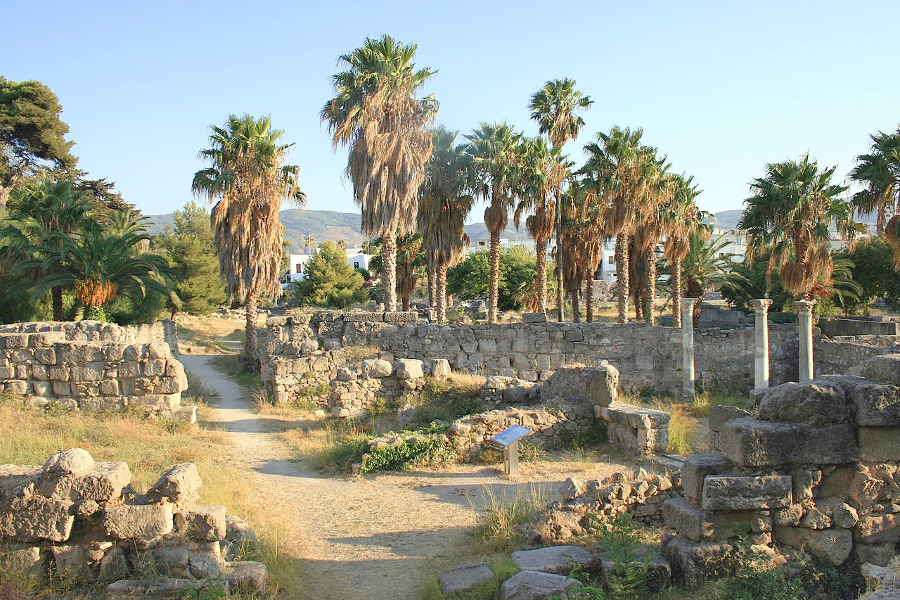
From Rhodes you can visit the small islands of the eastern Aegean. Kos is a fertile green island with golden beaches. Birthplace of Hippocrates, "Father of Medicine," it has a temple to Asclepius, god of healing. Kalymnos is rocky—its hills are austerely beautiful, and the valleys are blessed with fruit and flowers. Leros is gently mountainous and the coasts are low, fertile, and covered in vineyards and orchards. Patmos, the northwestern island of the Dodecanese, is small, arid, but famous for being was where Saint John wrote down his Revelation: the 11th-century monastery has a rich library.
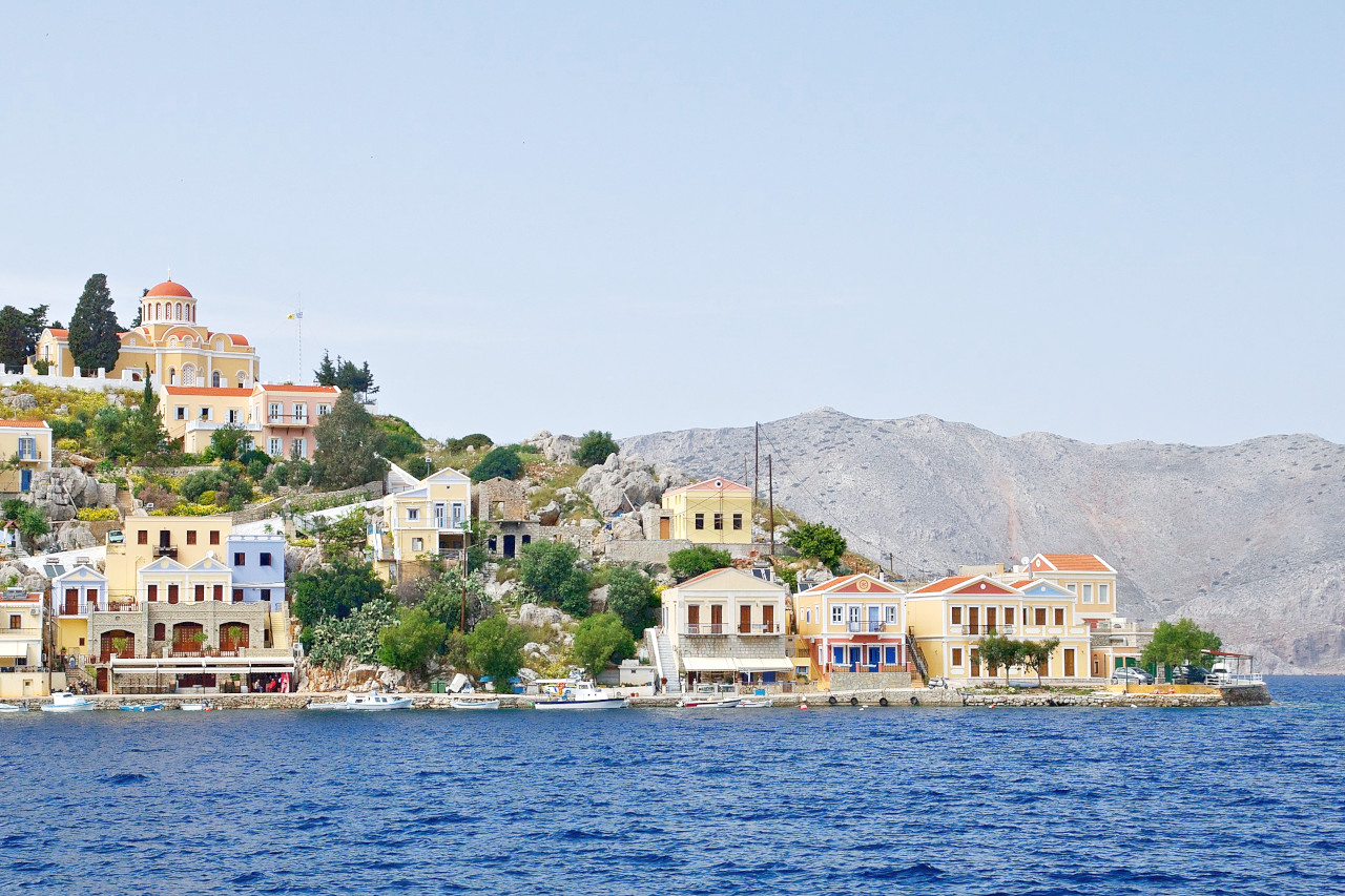
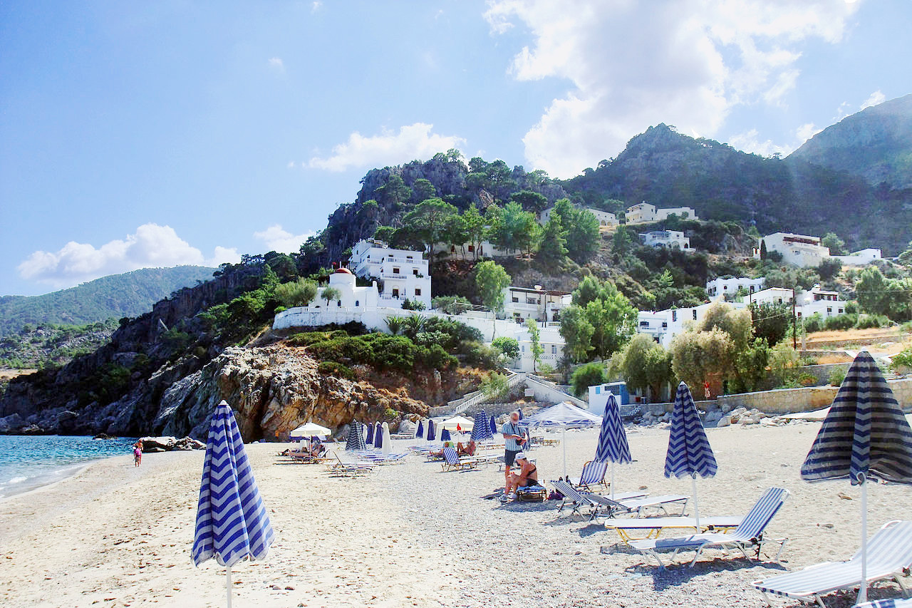
Symi is a small, indented, mountainous island, with many bays, off-shore-rocks and islets. Nisyros, by contrast is circular, like a giant egg-cup with a central volcanic depression. Karpathos, the largest island in the south, is remote, rural, with an unbroken range of high mountains running its length. Kasos is similar, being, in effect, the little brother of Karpathos. Astypalaia, in the west, is shaped like a butterfly, surrounded by bays and coves, and was regarded as the 'table of the gods' in antiquity on account of its great fertility.
What is the nature of the Dodecanese like?
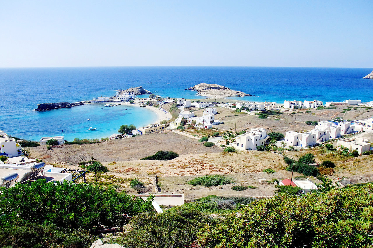
The islands of the Dodecanese often exhibit very different characteristics. Kos is mostly green, gentle and floral, whereas nearby Kalymnos is spare and rocky. Hundreds of different shrubs and flowers grow across the Dodecanese. Flowers are one of the signatures of the islands, where they don't grow in a wild state, they are nurtured in pots all over the islands. Hibiscus, oleander, bougainvillea, jasmine, honeysuckle, cistus, and asphodel, can be seen everywhere.
What is the climate of the Dodecanese like?
The climate of the Dodecanese is some of the finest in the whole Mediterranean. The summers are bathed in almost eternal sunshine, but rarely visited by the oppressive summer heat. The winters are mild, and sea breezes which cool in the summer, disperse any mists and bring a refreshing rain in winter. The mean temperature in the Dodecanese varies between 21° and 32°C (70° to 90°F) during the summer, and it very rarely falls below freezing during the winter. The rain descends mainly in November and December and lessens in March. In winter the temperature may, for a short time, become rather cold, and a thin layer of snow may appear on the greatest heights. It may even at times be visible at a lower level, but the snow soon disappears.
| Climate data for Rhodes | |||||||||||||
|---|---|---|---|---|---|---|---|---|---|---|---|---|---|
| Month | Jan | Feb | Mar | Apr | May | Jun | Jul | Aug | Sep | Oct | Nov | Dec | Year |
| Average high °C (°F) | 15.1 (59.2) | 15.2 (59.4) | 16.8 (62.2) | 20.0 (68.0) | 24.2 (75.6) | 28.4 (83.1) | 30.5 (86.9) | 30.7 (87.3) | 28.2 (82.8) | 24.5 (76.1) | 20.1 (68.2) | 16.6 (61.9) | 22.5 (72.6) |
| Daily mean °C (°F) | 12.0 (53.6) | 12.0 (53.6) | 13.5 (56.3) | 16.3 (61.3) | 20.0 (68.0) | 24.2 (75.6) | 26.4 (79.5) | 26.7 (80.1) | 24.4 (75.9) | 20.7 (69.3) | 16.7 (62.1) | 13.5 (56.3) | 18.9 (66.0) |
| Average low °C (°F) | 8.8 (47.8) | 8.8 (47.8) | 10.1 (50.2) | 12.5 (54.5) | 15.8 (60.4) | 19.9 (67.8) | 22.3 (72.1) | 22.7 (72.9) | 20.5 (68.9) | 16.9 (62.4) | 13.2 (55.8) | 10.4 (50.7) | 15.2 (59.3) |
| Average rainfall mm (inches) | 149.6 (5.89) | 105.7 (4.16) | 75.6 (2.98) | 27.8 (1.09) | 18.6 (0.73) | 2.3 (0.09) | 0.4 (0.02) | 0.2 (0.01) | 5.8 (0.23) | 65.5 (2.58) | 94.1 (3.70) | 157.4 (6.20) | 703 (27.68) |
| Source: Hellenic National Meteorological Service | |||||||||||||
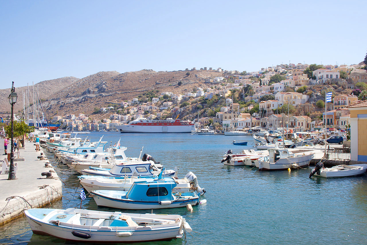 Port of Symi
The official websites
The Dodecanese
The sunniest corner in Greece
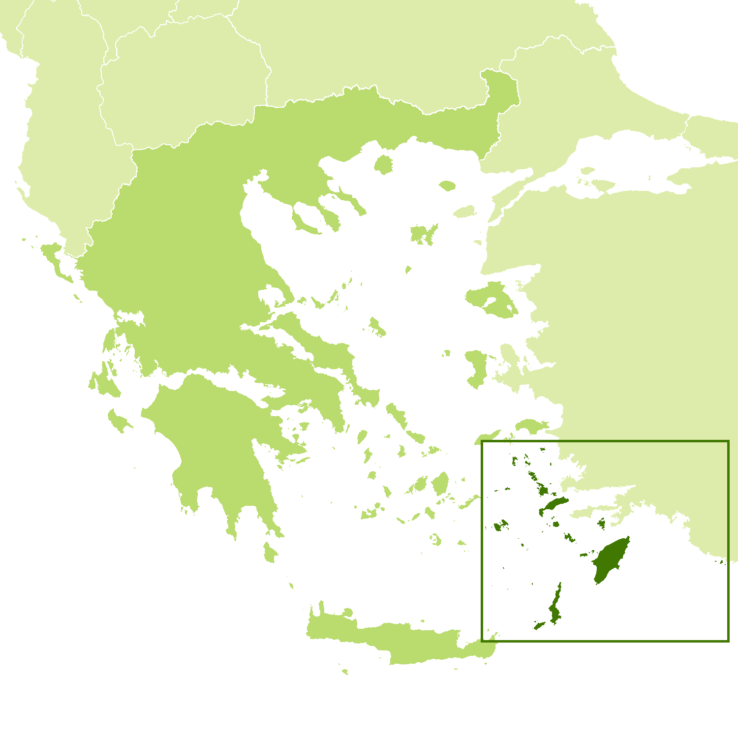
| Location: | Southeast Aegean Sea |
| Coordinates: | 36° 30′ N, 27° 45′ E |
| Size: | • 170 km N-S; 225 km E-W • 105 miles N-S; 140 miles E-W |
| Terrain: | Hilly islands occasionally rising to low mountains |
| Climate: | Mediterranean climate, with mild winters and hot summers |
| Highest point: | Attavyros 1,215 m /3,986 ft |
| Forest: | 10% (2010 est.) (source) |
| Population: | 200,452 (2005) |
| Population density: | Low (74/km²) |
| Capital: | Rhodes |
| Languages: | Greek |
| Human Development Index: | Very high (0.888) |
