The Geography of
The Cyclades
Why visit the Cyclades?
The Cyclades are the quintessential Greek isles, renowned for the beauty of their seascapes, their historical monuments, and their deep roots in the remote past of the Aegean. The islands are shrouded in legend. The tiny island of Delos was one of the greatest centres of ancient religious, political and commercial life. Thera (or Santorini), the remnant of a volcanic caldera which erupted about 3,600 years and is thought to have inspired stories about Atlantis. Dionysus was born on olive-strewn Naxos, and other myths relate that Poseidon was the protector of Tinos.
Map
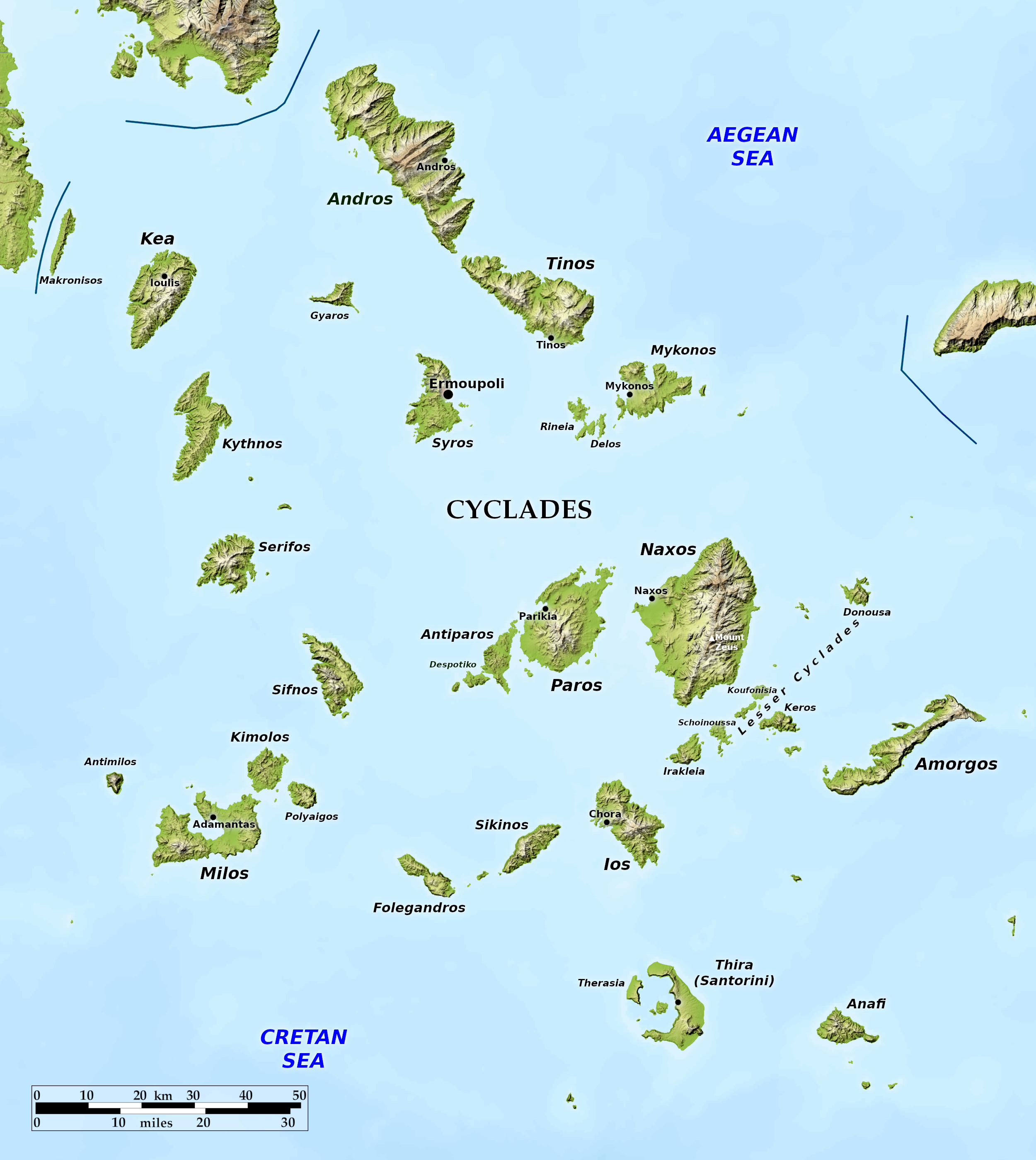 Relief map of the Cyclades
What is the landscape of the Cyclades like?
To the Ancient Greeks, the many islands of the Cyclades were regarded as a circle arranged around the island-sanctuary of Apollo in Delos. In reality they are the mountain-tops of lost ranges. Many of them have a peak rising to 600 to 900 meters (2,000–3,000 feet) in height, and sinking down into the water in more or less steep slopes. These rocky islands can be very beautiful. Light and color play softly over them, the blue of the sky and sea forms a dazzling frame for the yellowish green and terra-cotta red of the land.
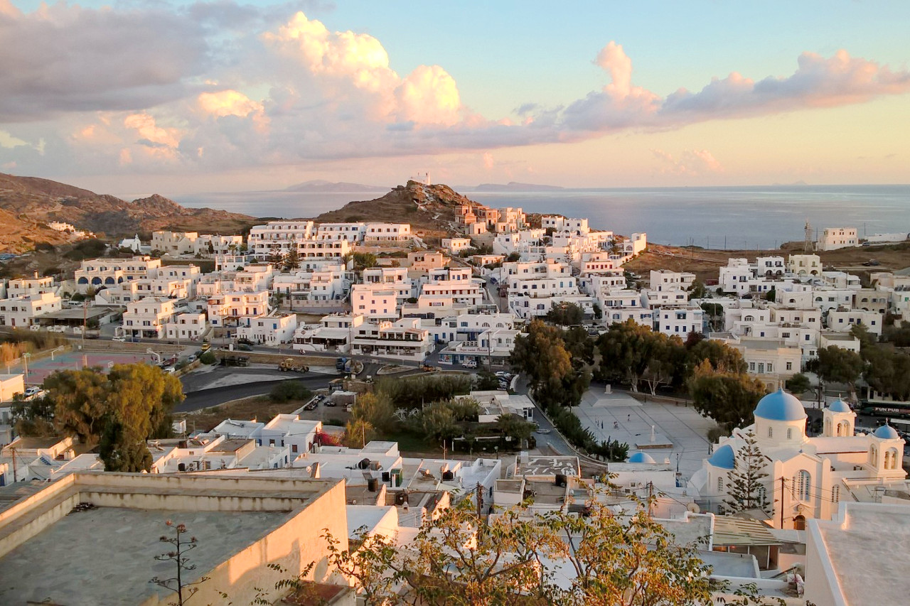
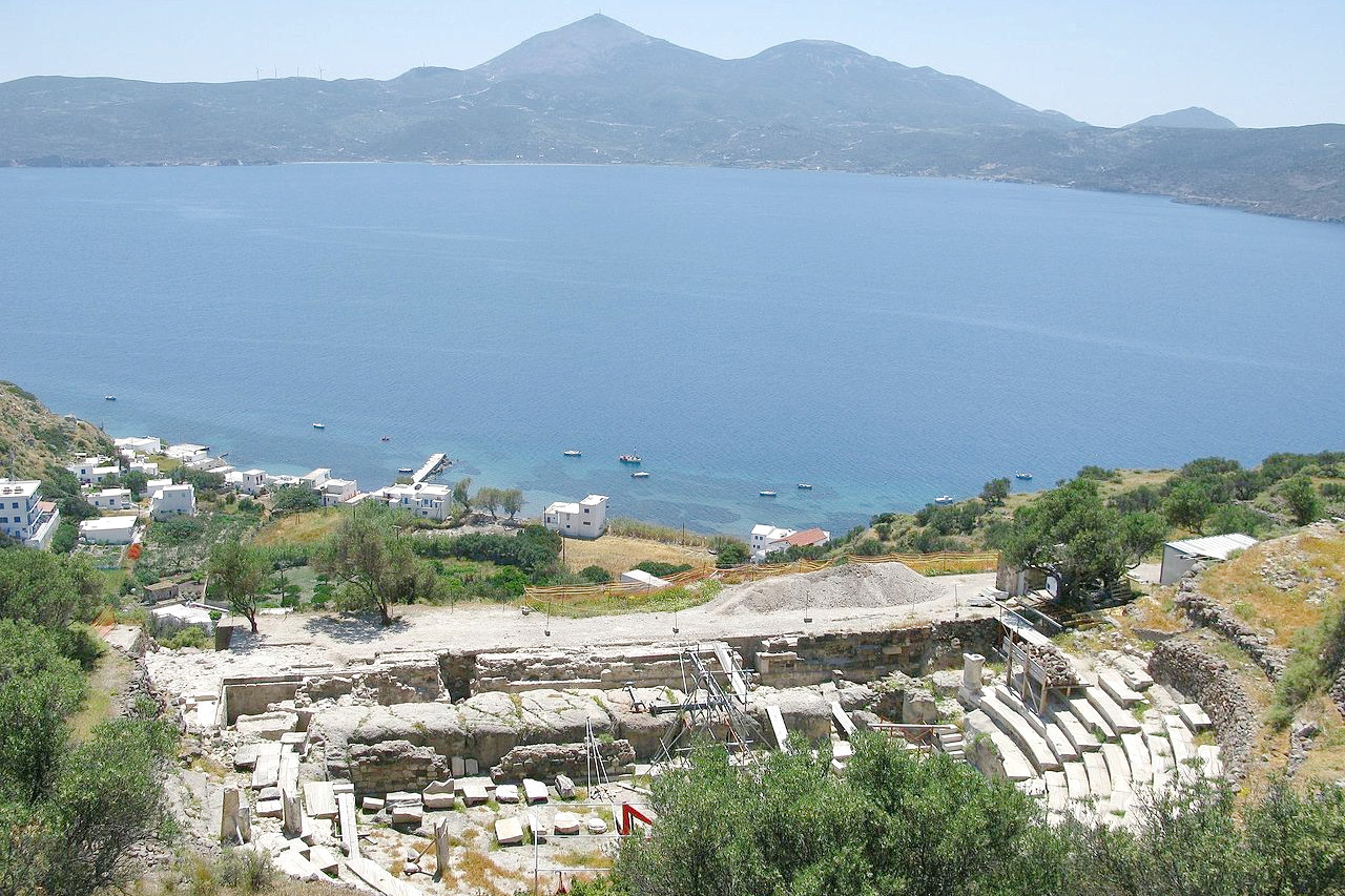
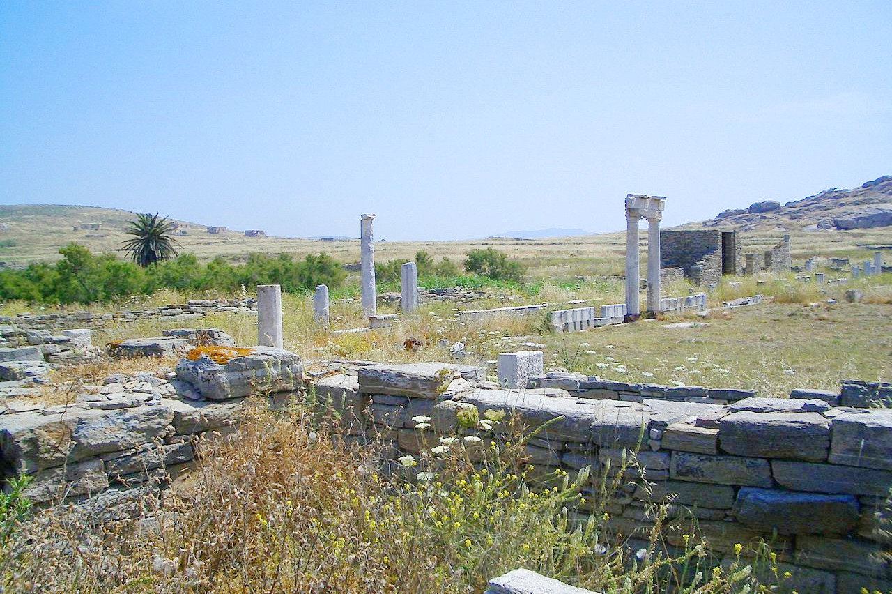
There are many interesting islands in this group. The tiny island of Delos was one of the greatest centres of ancient religious, political and commercial life. Melos where, in addition to various Greek and Roman buildings, the large Bronze Age stronghold of Phylakopi has been excavated. Thera (or Santorini), the remnant of a volcanic caldera which erupted about 3,600 years and is thought to have inspired stories about Atlantis. Naxos, the largest and most fertile island of the group, contains the highest mountain in the Cyclades—Mount Zeus (1,004 meters / 3,294 feet).
North
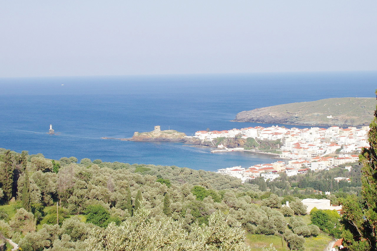
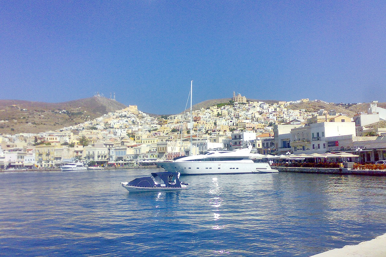
Andros, the second largest island in the Cyclades, has a straight southwestern coast which rises abruptly to a high limestone ridge, from which four great spurs extend northeastwards. Tinos is a continuation of Andros to the southeast, but is rather lower and flatter. Mykonos is a dry plateau of granite with an extremely irregular outline. Gyaros, Siros and Dhilos are small and rocky, but the central position of Syros and its port of Ermoupoli made it one of the most important of the islands, and is the capital of the South Aegean region.
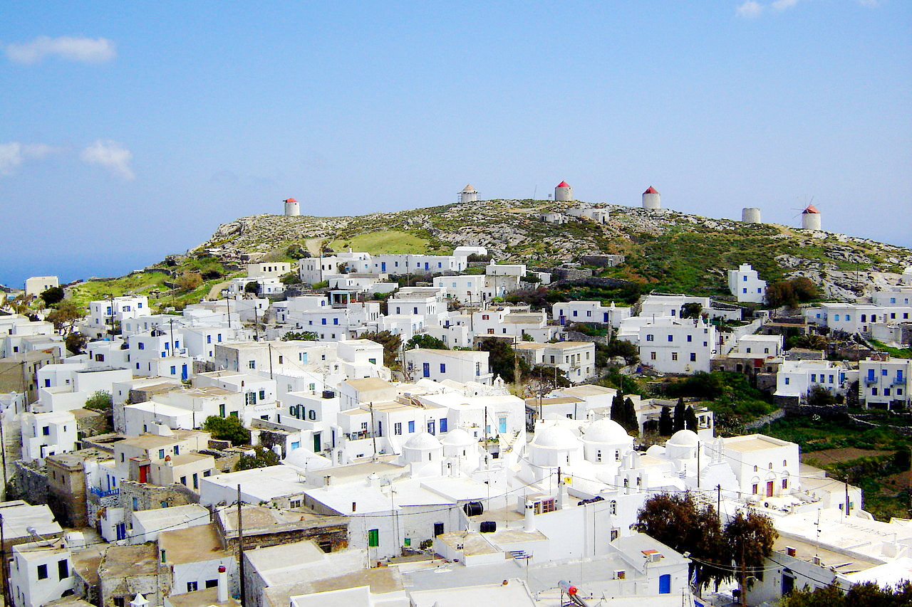
Mykonos is the most popular tourist Island in the Cyclades and attracts many artists. It is a maze of winding streets, sparkling whitewashed houses, domed churches, windmills, and sun-drenched cliffs rising sheer from the sea.
West
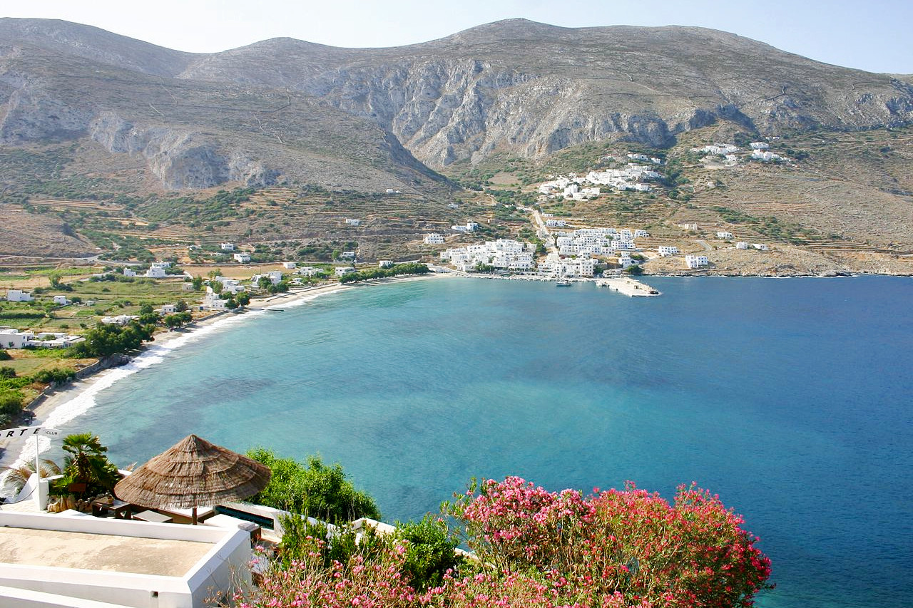
Kea rises steeply in well-wooded slopes, but like Kythnos and Serifos to the south it is rather rocky. Sifnos, on the other hand, has a small and highly cultivated plain in the southeast. Milos is shaped like an irregular ring, broken on the north coast by a channel that leads to the central bay. The island is built of young volcanic material overlying ancient crystalline rocks, and it rises from low-lying plains in the east to a height of 748 meters (2,454 feet).
East
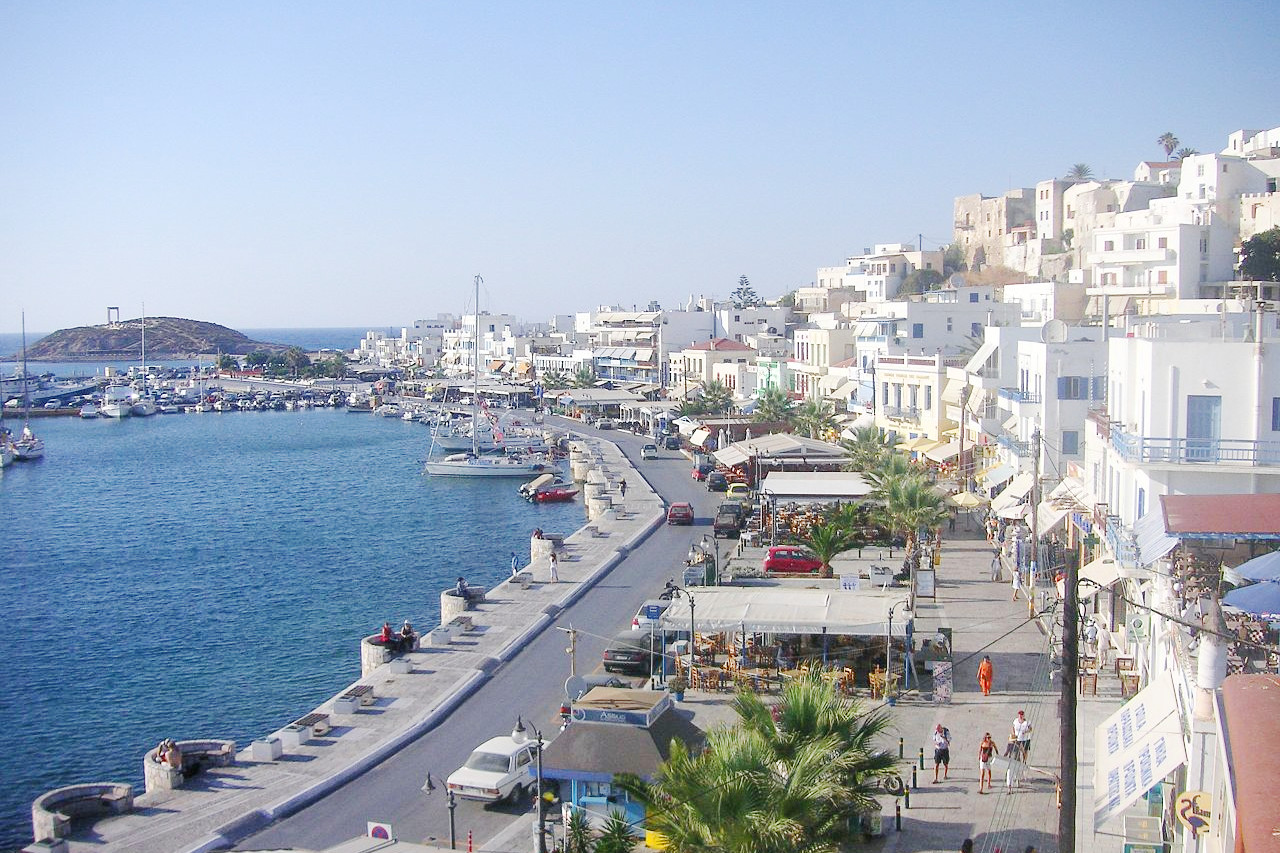
Amorgos, in the east, has a long narrow ridge as its central backbone, rising in its eastern end to 823 meters (2,700 feet). There are, however, numerous small plains on the indented north coast. Paros, famous in antiquity for its marble quarries, rises from a fertile maritime plain in the north to three central peaks, one of which is 724 meters (2,375 feet). above sea level. Naxos, the largest and most fertile island of the Cyclades. The dominating peak is Mount Zeus, which rises in bare, towering crags from the central mountain range. In the west and north-west of the island there are low, rolling hills and broad, fertile plains. Naxos is famous for its emery, or corundum, the hardest known material after diamond, and the close proximity of this mineral to the marble of Paros may well have been of critical importance for Greek sculpture.
South
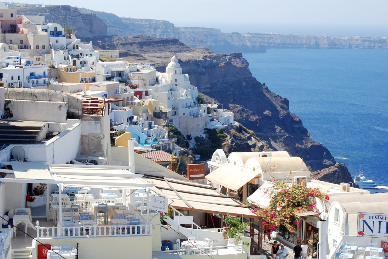
To the south of the southern chain, the small islands of Folegandros, Sikinos, Ios, and Anafi are composed chiefly of bare marble, rising to mountainous interiors from bold and inhospitable coasts. Thira (Santorini) is a crescent-shaped island, bare and waterless, which towers above the great basin that once formed the center of the volcano. The island is about 275 meters (900 feet) at its highest point and one cliff, which is really the wall of a crater, rises 180 meters (600 feet) vertically from the sea. Not infrequently one sees mighty banks of snow-white cumulus clouds above the island, like a natural continuation of the mountain tops. Thira is still active below sea level, and it still creates islands within its crater—the Kaiméni or 'Burnt' Islands.
What is the nature of the Cyclades like?
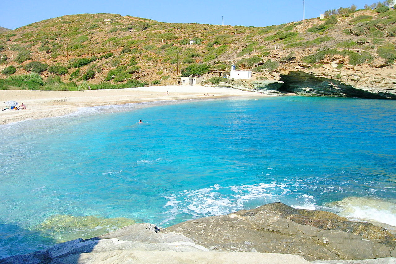
Seen from the sea, the Cyclades can appear as barren, gray-white, islands, but the interiors of many of the islands are rich in farmland, vineyards, orchards, olive groves, and highland pasture. Several thousand species of flowers flourish in the Cyclades, along with flowering fruit trees, bushes, vines, and shrubs. Their flowers blossom all-year-round creating a great variety of color. Roses have been cultivated since antiquity and on the islands they bloom in olive-oil cans on the window sills and courtyard walls of houses and tavernas.
There are olive groves on all of the islands, most notably on Naxos, where they stretch for miles across the highland plain known as the Tragaea. Every Cycladic village square and church courtyard is shaded by a giant platanos, or plane tree, some of them centuries old.
What is the climate of the Cyclades like?
The Cyclades have a Mediterranean climate, with mild winters and warm-to-hot summers. Because of the seasonal cool "meltemi" wind and the moderating sea, summer days are relatively mild, dry, sunny and pleasant. There is relatively low overall rainfall because the Pindus Mountains on mainland Greece dry out the westerly winds. Winters in general are mild and wet, with many sunny days even in mid-winter. Snow is rare and doesn't stay long on the ground when it falls.
| Climate data for Naxos | |||||||||||||
|---|---|---|---|---|---|---|---|---|---|---|---|---|---|
| Month | Jan | Feb | Mar | Apr | May | Jun | Jul | Aug | Sep | Oct | Nov | Dec | Year |
| Average high °C (°F) | 14.3 (57.7) | 14.4 (57.9) | 15.7 (60.3) | 18.6 (65.5) | 21.9 (71.4) | 25.7 (78.3) | 26.6 (79.9) | 26.2 (79.2) | 24.6 (76.3) | 21.4 (70.5) | 18.6 (65.5) | 15.8 (60.4) | 20.3 (68.5) |
| Daily mean °C (°F) | 12.0 (53.6) | 12.1 (53.8) | 13.3 (55.9) | 16.1 (61.0) | 19.4 (66.9) | 23.2 (73.8) | 24.7 (76.5) | 24.4 (75.9) | 22.6 (72.7) | 19.3 (66.7) | 16.2 (61.2) | 13.7 (56.7) | 18.1 (64.6) |
| Average low °C (°F) | 9.3 (48.7) | 9.3 (48.7) | 10.2 (50.4) | 12.5 (54.5) | 15.4 (59.7) | 19.2 (66.6) | 21.7 (71.1) | 21.7 (71.1) | 19.8 (67.6) | 16.6 (61.9) | 13.4 (56.1) | 10.9 (51.6) | 15.0 (59.0) |
| Average precipitation mm (inches) | 71.3 (2.81) | 58.6 (2.31) | 49.8 (1.96) | 18.4 (0.72) | 9.8 (0.39) | 2.8 (0.11) | 0.6 (0.02) | 2.8 (0.11) | 5.7 (0.22) | 39.3 (1.55) | 47.4 (1.87) | 69.4 (2.73) | 375.9 (14.80) |
| Source: NOAA | |||||||||||||
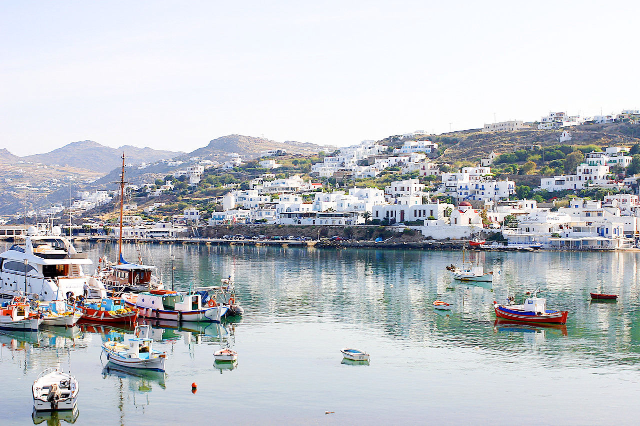 Old port of Hora, Mykonos
The official websites
The Cyclades
The most famous island group in the Aegean
| Location: | South-central Aegean Sea |
| Coordinates: | 37° 00′ N, 25° 15′ E |
| Size: | • 190 km N-S; 175 km E-W • 120 miles N-S; 110 miles E-W |
| Terrain: | Hilly and mountainous islands |
| Climate: | Mediterranean climate, with mild winters and hot summers |
| Highest point: | Mount Zeus 1,004 m / 3,294 ft |
| Forest: | 10% (2010 est.) (source) |
| Population: | 119,549 (2005) |
| Population density: | Low (46/km²) |
| Capital: | Ermoupoli |
| Languages: | Greek |
| Human Development Index: | Very high (0.888) |