The Climate of
El Salvador
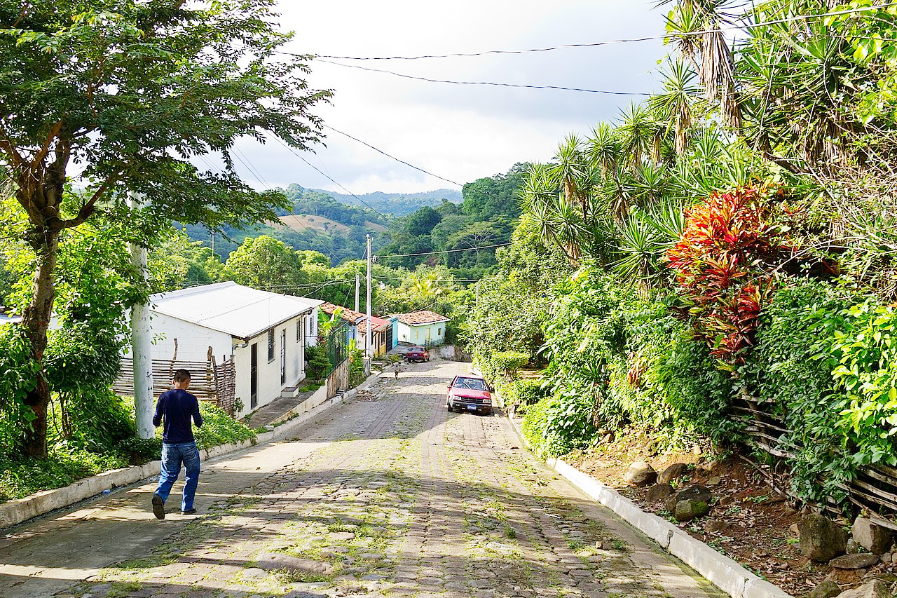 Street scene in Huizúcar
Climate Map
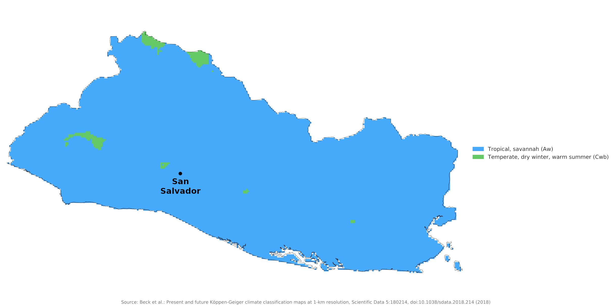 Climate map of El Salvador
What is the climate of El Salvador like?
El Salvador is one of the smallest countries of Central America. It is bounded on the northwest by Guatemala, on the northeast by Honduras, and on the southwest by the Pacific Ocean. El Salvador is about as large as Wales or the state of Massachusetts and is situated between 13° and 14°N. It is a mountainous country with the highest points reaching over 1,800 meters (6,000 feet). It is the only country in this region with no coastline on the Caribbean Sea.
Temperatures in tropical El Salvador vary with altitude, from the hot coastal lowlands to the semitropical central plateau. The average temperature in the central highlands is 24°C (75°F) year round. But along the coast and at lower altitudes, the temperatures tend to be hotter, while in the northern mountains, the climate tends to be cooler. Even at the highest elevations, the climate remains temperate, rarely approaching freezing even in the winter.
The narrow coastal plain on the Pacific shore forms the most extensive region of tierra caliente, with a typical hot, tropical climate and a single rainy season. The climate in this lowland is similar to that for San Salvador, which is in the lower part of the hill country; here daytime temperatures are similar but with much cooler nights than in the lowlands.
There are only two seasons: the wet, which Salvadorians call winter, from May to October; and the dry, or summer, season, from November to April. In July and August there are high winds, followed by torrents of rain and thunderstorms; in September and October the rain, not heavy, is continuous. The coastal plain receives the heaviest rainfall. During the wet season, this region averages 2,200 millimeters (85 inches), while the drier northwest area averages 1,500 millimeters (60 inches). Some interior areas are relatively dry most of the year, requiring irrigation and crops suited for arid cultivation.
| Climate data for San Salvador (1981-2010) | |||||||||||||
|---|---|---|---|---|---|---|---|---|---|---|---|---|---|
| Month | Jan | Feb | Mar | Apr | May | Jun | Jul | Aug | Sep | Oct | Nov | Dec | Year |
| Average high °C (°F) | 30.8 (87.4) | 32.0 (89.6) | 32.7 (90.9) | 32.7 (90.9) | 31.1 (88.0) | 30.1 (86.2) | 30.3 (86.5) | 30.5 (86.9) | 29.5 (85.1) | 29.5 (85.1) | 29.9 (85.8) | 30.2 (86.4) | 30.8 (87.4) |
| Daily mean °C (°F) | 22.8 (73.0) | 23.6 (74.5) | 24.2 (75.6) | 25.0 (77.0) | 24.6 (76.3) | 23.9 (75.0) | 23.9 (75.0) | 23.9 (75.0) | 23.3 (73.9) | 23.3 (73.9) | 23.0 (73.4) | 22.8 (73.0) | 23.7 (74.7) |
| Average low °C (°F) | 16.9 (62.4) | 17.6 (63.7) | 18.4 (65.1) | 19.8 (67.6) | 20.4 (68.7) | 20.0 (68.0) | 19.5 (67.1) | 19.7 (67.5) | 19.6 (67.3) | 19.3 (66.7) | 18.4 (65.1) | 17.5 (63.5) | 18.9 (66.0) |
| Average precipitation mm (inches) | 1 (0.0) | 2 (0.1) | 10 (0.4) | 36 (1.4) | 176 (6.9) | 279 (11.0) | 355 (14.0) | 319 (12.6) | 338 (13.3) | 208 (8.2) | 53 (2.1) | 9 (0.4) | 1,786 (70.4) |
| Source: Ministerio de Medio Ambiente y Recursos Naturales | |||||||||||||
References
- E. A. Pearce, Charles Gordon Smith, (1990) The Hutchinson World Weather Guide, John Murray Press. ISBN 1859863426
- Timothy L. Gall, (ed.), (2003), Worldmark Encyclopedia of the Nations, Eleventh Edition, Thomson Gale
- Hugh Chisholm, (ed.), (1911), Encyclopædia Britannica, Eleventh edition, Cambridge University Press
The Climate of
El Salvador
In summary:
Located in the tropics, temperatures vary more with altitude than with season. The average temperature in the central highlands is 24°C (75°F) year round. But along the coast and at lower altitudes, the temperatures tend to be hotter.
There are two distinct seasons: the dry season, from November to April, and the wet season, from May to October.