The Climate of
Western Sahara
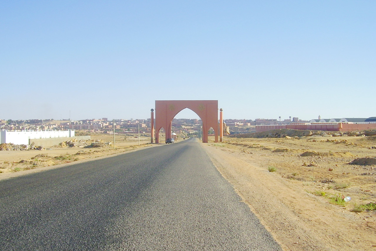
 Entrance Arch to the city of Laayoune
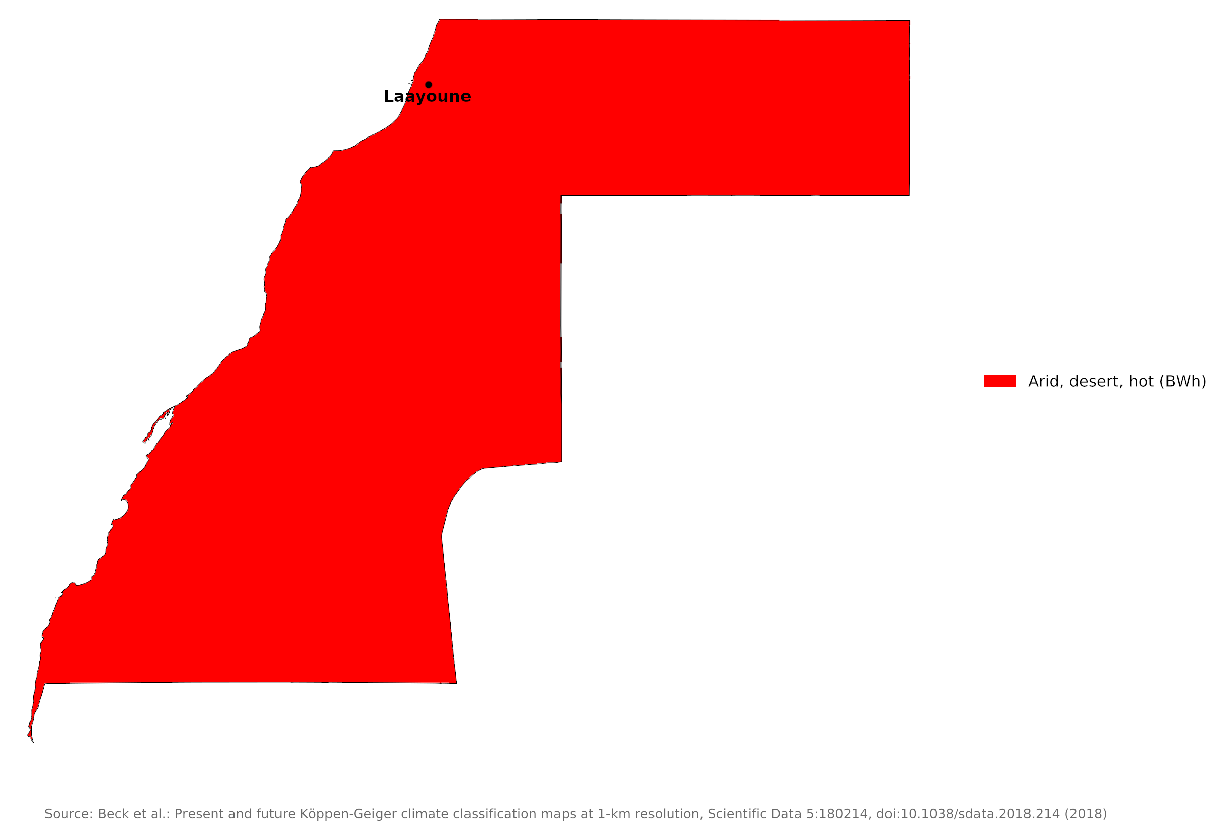
Climate Map
 Climate map of Western Sahara
What is the climate of Western Sahara like?
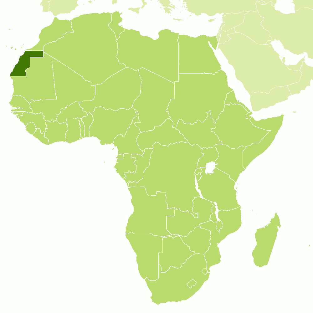
Western Sahara is a territory on the northwest coast of Africa between Morocco and Mauritania. The territory is disputed between Morocco and the local population. The coastline of Western Sahara stretches nearly 1100 km from southwest northeast between 20° and 28° N. There is a narrow coastal plain around 50 km wide in the south but which narrows to only 5 km in the north. An interior plateau stretches across the country, rising to a higher plateau in the northeast.
Western Sahara is extremely hot, but the cold Canary Current modifies coastal temperatures and produces morning fogs which prenetrate several miles inland. These lead to lower morning temperatures than might otherwise be expected. In the interior though, average high temperatures regularly exceed 40°C (104°F) in July and in August and can reach 50°C (122°F). In winter average high temperatures exceed 20°C (68°F) but average low temperatures drop to 7°C (45°F) in some places.
Western Sahara is extremely arid. Mean annual rainfall is unreliable and most of the country receives less than 50 millimeters (2 inches) per year. Northeast trade winds from the Sahara Desert prevail over the country for most of the year. The southwest monsoon which brings rain to southern Mauritania does not reach Western Sahara, but Atlantic winds may bring light rain to the coastal strip from time to time. The interior is drier than the coast and evaporation is high everywhere.
The climate of Laayoune shows conditions on the coast, including the relatively moderate temperatures.
| Climate data for Laayoune (1981-2010) | |||||||||||||
|---|---|---|---|---|---|---|---|---|---|---|---|---|---|
| Month | Jan | Feb | Mar | Apr | May | Jun | Jul | Aug | Sep | Oct | Nov | Dec | Year |
| Average high °C (°F) | 22.2 (72.0) | 22.7 (72.9) | 24.5 (76.1) | 23.9 (75.0) | 25.6 (78.1) | 27.4 (81.3) | 29.5 (85.1) | 30.4 (86.7) | 30.0 (86.0) | 28.6 (83.5) | 26.0 (78.8) | 23.2 (73.8) | 26.2 (79.2) |
| Daily mean °C (°F) | 16.9 (62.4) | 17.6 (63.7) | 19.2 (66.6) | 19.2 (66.6) | 20.7 (69.3) | 22.5 (72.5) | 24.5 (76.1) | 25.2 (77.4) | 24.7 (76.5) | 23.3 (73.9) | 20.8 (69.4) | 18.0 (64.4) | 21.1 (70.0) |
| Average low °C (°F) | 11.6 (52.9) | 12.5 (54.5) | 13.9 (57.0) | 14.5 (58.1) | 15.8 (60.4) | 17.7 (63.9) | 19.4 (66.9) | 20.0 (68.0) | 19.4 (66.9) | 18.0 (64.4) | 15.6 (60.1) | 12.8 (55.0) | 15.9 (60.6) |
| Average precipitation mm (inches) | 11.1 (0.44) | 11.1 (0.44) | 5.4 (0.21) | 1.1 (0.04) | 0.5 (0.02) | 0.0 (0.0) | 0.1 (0.00) | 0.5 (0.02) | 1.5 (0.06) | 3.0 (0.12) | 9.8 (0.39) | 13.3 (0.52) | 57.4 (2.26) |
| Source: NOAA | |||||||||||||
References
- E. A. Pearce, Charles Gordon Smith, (1990) The Hutchinson World Weather Guide, John Murray Press. ISBN 1859863426
- Timothy L. Gall, (ed.), (2003), Worldmark Encyclopedia of the Nations, Eleventh Edition, Thomson Gale
- Hugh Chisholm, (ed.), (1911), Encyclopædia Britannica, Eleventh edition, Cambridge University Press
The Climate of
Western Sahara

In summary:
Western Sahara has a hot and arid desert climate. Temperatures inland regularly exceed 40°C (104°F) in the summer months, but coastal temperatures are much lower due to the influence of the cold Canary Current.
Rainfall is very low everywhere, and most of the country receives less than 50 mm (2 in) of rain annually.