The Geography of
Ghana
Why visit Ghana?
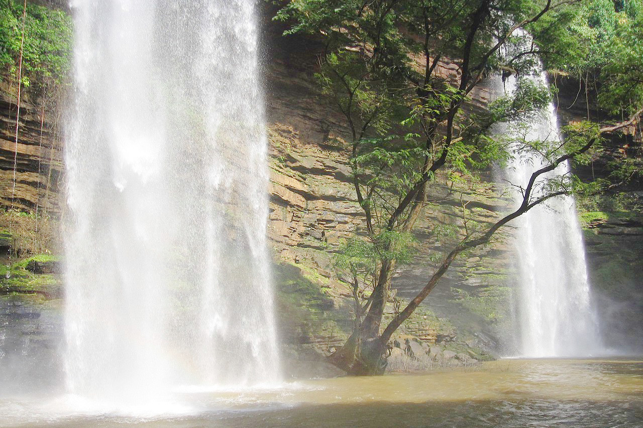
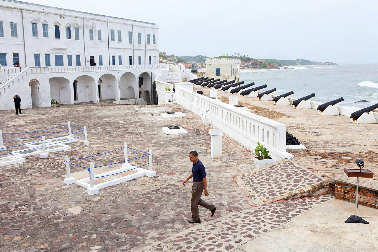
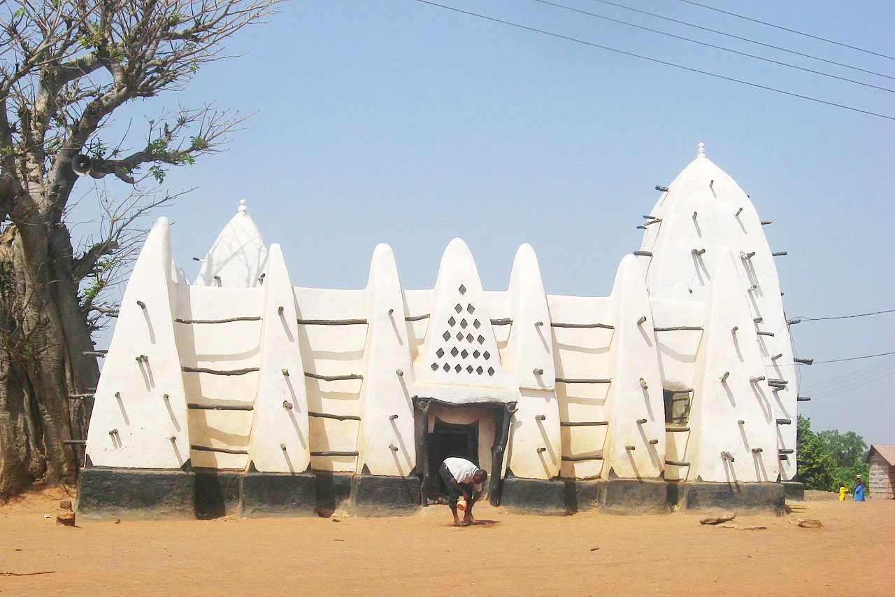
Ghana is the most alluring, colourful nation in West Africa. It has a range of enviroments, from the palm-lined beaches, to lush rainforests, to the animal-rich savanna of the national parks. The country is full of highlights including the waterfalls of the eastern highlands, the European castles of the coast, and the ancient mosques that dot the northwest.
Contents
Map
 Relief map of Ghana
What is the landscape of Ghana like?
Ghana is mainly a lowland plain. Half of the country lies at elevations lower than 150 meters (500 feet) above sea level. The highest point, Mount Afadja, is only 885 meters (2,904 feet) tall.
There are five distinct geographical regions. Low plains stretch across the southern part of the country. To their north lie three regions—the Ashanti Uplands, the Akwapim-Togo Ranges, and the Volta Basin. The fifth region, the high plains, occupies the northern and northwestern sector of the country.
The Low Plains
The Low Plains include the Coastal Savannah, the Volta Delta, the Accra Plains and the Akan Lowlands. A narrow strip of grassy savannah, only about five miles wide at its western end, extends east through the Accra Plains, where it widens to more than fifty miles, and terminates in the south-eastern corner of the country at the lower end of the Akwapim -Togo Ranges.
The Accra Plains are almost flat and featureless, gradually sloping down to the Gulf from a height of about 150 meters. The topography east of the city of Accra is characterized by a succession of ridges and spoon-shaped valleys. West of Accra the lowlands contain broader valleys and rounded low hills with occasional rocky promontories. In general, however, the land is flat and covered with grass and scrub. Dense groves of coconut palms line the coast.
The Volta Delta, which forms its own sub-region of the lowlands, extends into the Gulf of Guinea in the extreme south-east. As this delta grew outward over the centuries, sandbars developed at the mouth of the River Volta and also in some smaller rivers nearby, forming numerous lagoons, some of which were quite large. Dense groves of coconut palms also grow here.
The largest part of the low plains is the Akan Lowlands. The elevation of the Akan lowlands generally ranges from sea level to 150 meters (500 feet). Some mountain ranges and hills rise to about 300 meters (1,000 feet), but few exceed 600 meters (2,000 feet). The Densu River Basin, site of the major urban centers of Koforidua and Nsawam in the eastern lowlands, has an undulating topography. Many of the hills here have craggy peaks that give the landscape a distinctive look. The upper part of the Pra river basin in the west is relatively flat; However, the topography of its lower reaches is similar to that of the Densu Basin and the area is a rich cocoa and food production region. The valley of the Birim River, one of the main tributaries of the Pra, is the country's main diamond producing area.
Ashanti Uplands
The Ashanti Highlands, which includes the Kwahu Plateau, lie north of the Akan Lowlands and stretch from the Ivory Coast border in the west to the raised rim of the Volta Basin in the east. The Kwahu Plateau stretches 190 kilometers (120 miles) in a northwest-southeast direction. The average elevation of the plateau is about 450 meters (1,500 feet), rising to a maximum of about 750 meters (2,500 feet). The higher altitude of the plateau makes for a comparatively cooler climate. The plateau forms one of the most important physical dividing lines in Ghana. The plateau marks the northernmost limit of the forest zone.
The Southern Ashanti Highlands, stretching from the foot of the Kwahu Plateau in the north to the lowlands in the south, drop gently from an elevation of about 300 meters (1,000 feet) in the north to about 150 meters (500 feet) away. in the south. However, the region includes several hills and mountain ranges, as well as several cities of historical and economic importance, including Kumasi, Ghana's second largest city and former capital of the Asante Empire.
Akwapim-Togo Ranges
The Akwapim-Togo Ranges in the eastern part of the country begin west of Accra and continue north-east until finally crossing the border into Togo. In their south-eastern part, the mountain ranges are cut by a deep, narrow gorge, cut through by the Volta River. The head of this gorge is the site of the Akosombo Dam, which dams the river to form Lake Volta. The mountain ranges south of the gorge form the Akwapim section of the mountains. The average elevation in this section is about 450 meters (1,500 feet) and the valleys are generally deep and relatively narrow. North of the gorge, about fifty miles long, the Togo section has wider valleys and low ridges. Beyond this point, elevations increase sharply, with several peaks exceeding 600 meters (2,000 feet) above sea level. In this area is the highest point in the country, Mount Afadja. Most of the mountain ranges are covered with deciduous forests, and their higher elevation makes for a relatively cooler, more comfortable climate.
Volta Basin
The Volta Basin occupies the central part of Ghana and covers about 45 percent of the country's total land surface. Its northern part, lying above the upper part of Lake Volta, rises to an altitude of 150–215 meters (500–700 feet) above sea level. The elevations of the Konkori escarpment to the west and the Gambaga escarpment to the north range from 300 to 450 meters (1,000–1,500 feet). To the south and southwest, the basin is less than 300 meters (1,000 feet) high. The Kwahu Plateau marks the southern end of the basin, although it forms a natural part of the Ashanti Highlands. The most widespread type of vegetation is the savanna.
The Afram Plains lie in the southeast corner of the basin. Here the terrain is low, with an average elevation of 60 to 150 meters (200–500 feet). Near the Afram River, much of the surrounding countryside is flooded or swampy during the rainy season. With the construction of Lake Volta in the mid-1960s, much of the Afram Plain was submerged.
The High Plains
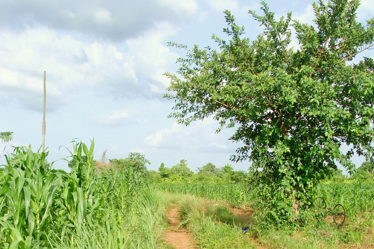
The general terrain in the northern and northwestern part of Ghana outside the Volta Basin consists of an indented plateau drained by the Black Volta and White Volta rivers. The region averages between 150 and 300 meters (500–1,000 feet) in elevation, and even higher in some places. In modern times this region hsa become a great grain production area.
What is the nature of Ghana like?
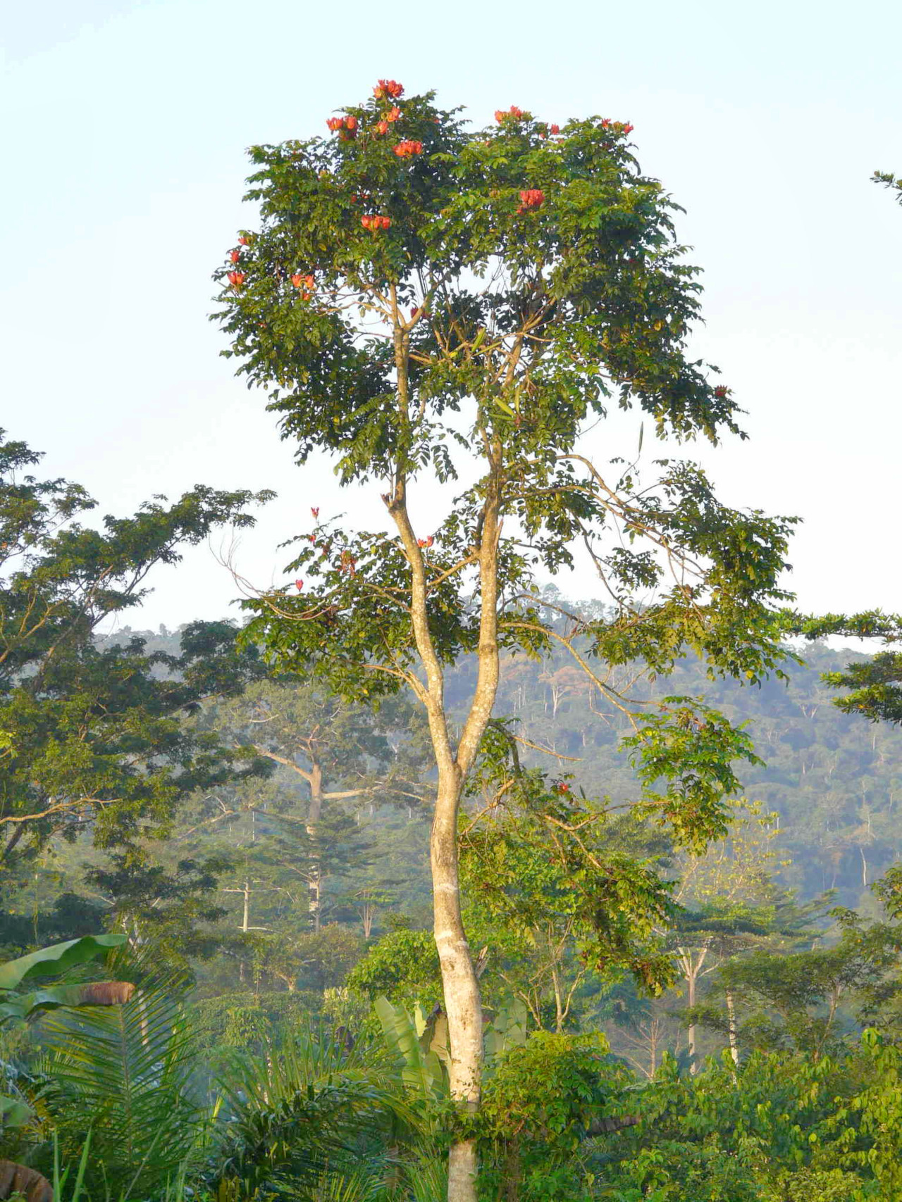
The coast of Ghana is a region of dense scrub; Palm trees are common in the moister areas. Giant termite mounds, often 10 feet (3 meters) high or more, are very common. Mangrove, with its stilt-like system of roots, dominates the lagoons and lagoon beds. Dense rain forests, with towering trees and a thick blanket of crown foliage, cover nearly all of southwest Ghana as well as the mountainous Togo Ranges. Many forest reserves are scattered through this region. The most famous is the Kakum National Park and Conservancy. It is a major tourist attraction and provides a home for many nearly extinct plants and animals. Kakum has over 100 species of mammals, 300 species of birds, and 600 species of butterflies along with elephants, monkeys, and more.
The vegetation type that covers most of Ghana is the savanna woodland. The whole area north of the rainforest region, is filled with this parklike, wooded grassland. Short trees, usually widely spaced, intersperse the grasslands. Depending on the amount of total rainfall, some of the grasses can reach as high as 4 meters (12 feet). Because the dry season is very intense, lasting usually from November to April, wild and man-made fires are quite frequent and widespread. Many of the trees are fire-resistant and have thick barks. The baobab tree, for example, can withstand long droughts, strong winds, and fire.
What is the climate of Ghana like?
See our main article: The Climate of Ghana
Ghana has a tropical climate that is relatively mild for that latitude. The harmattan, a dry desert wind, blows from the northeast from December to March, lowering the humidity and causing hot days and cool nights in the north. Average temperatures range from 21°C to 31°C (70 to 90°F).
Except in the north, there are two rainy seasons: April through June and September through November. Squalls occur in the north during March and April, followed by occasional rain until August and September, when the rainfall reaches its peak. Annual rainfall ranges from 800 to 2,200 millimeters (31 to 87 inches).
| Climate data for Accra (1961–1990) | |||||||||||||
|---|---|---|---|---|---|---|---|---|---|---|---|---|---|
| Month | Jan | Feb | Mar | Apr | May | Jun | Jul | Aug | Sep | Oct | Nov | Dec | Year |
| Average high °C (°F) | 32.1 (89.8) | 32.7 (90.9) | 32.5 (90.5) | 32.2 (90.0) | 31.2 (88.2) | 29.3 (84.7) | 28.5 (83.3) | 28.0 (82.4) | 29.0 (84.2) | 30.5 (86.9) | 31.6 (88.9) | 31.7 (89.1) | 30.8 (87.4) |
| Daily mean °C (°F) | 27.3 (81.1) | 27.7 (81.9) | 27.7 (81.9) | 27.7 (81.9) | 27.2 (81.0) | 25.6 (78.1) | 24.4 (75.9) | 24.3 (75.7) | 25.2 (77.4) | 26.0 (78.8) | 27.0 (80.6) | 27.2 (81.0) | 26.4 (79.5) |
| Average low °C (°F) | 23.4 (74.1) | 24.1 (75.4) | 24.1 (75.4) | 24.2 (75.6) | 23.9 (75.0) | 23.1 (73.6) | 22.5 (72.5) | 22.2 (72.0) | 22.4 (72.3) | 23.9 (75.0) | 23.5 (74.3) | 23.4 (74.1) | 23.4 (74.1) |
| Average precipitation mm (inches) | 10.9 (0.43) | 21.8 (0.86) | 57.1 (2.25) | 96.8 (3.81) | 131.2 (5.17) | 221.0 (8.70) | 66.0 (2.60) | 28.0 (1.10) | 67.8 (2.67) | 62.4 (2.46) | 27.7 (1.09) | 16.1 (0.63) | 806.8 (31.76) |
| Source: World Meteorological Organization | |||||||||||||
.jpg) Landscape with palm trees
Landscape with palm trees
The official websites
Ghana

Culture, Warmth and Rhythm
| Location: | Western Africa, bordering the Gulf of Guinea, between Côte d'Ivoire and Togo |
| Coordinates: | 7° 45′ N, 1° 00′ W |
| Size: | • 720 km N-S; 490 km E-W • 450 miles N-S; 300 miles E-W |
| Terrain: | Mostly low plains with dissected plateau in south-central area |
| Climate: | Tropical; warm and comparatively dry along southeast coast; hot and humid in southwest; hot and dry in north |
| Highest point: | Mount Afadja 885 m / 2,904 ft |
| Forest: | 21% (2018 est.) |
| Population: | 33,107,275 (2022 est.) |
| Population density: | Medium (102/km²) |
| Capital: | Accra |
| Languages: | Asante 16%, Ewe 14%, Fante 11.6%, Boron (Brong) 4.9%, Dagomba 4.4%, Dangme 4.2%, Dagarte (Dagaba) 3.9%, Kokomba 3.5%, Akyem 3.2%, Ga 3.1%, other 31.2% (2010 est.) |
| Human Development Index: | Medium (0.632) |
Related entries
-
Côte d'Ivoire
• Union, Discipline, Travail -
Burkina Faso
• Unité, Progrès, Justice -
Togo
• Travail, Liberté, Patrie -
Benin
• Fraternité, Justice, Travail
.jpg)
