
The Geography of the
Eastern Aegean
Why visit the Eastern Aegean?
The islands of the Eastern Aegean are less visited than the Cyclades or Dodecanese islands. They form Europe's traditional sea border with the East. Beyond their strategic and thus richly historic location, they offer a taste of Greece that is less compromised by tourism and more deeply influenced by nearby Asia Minor. They are also mountainous, and frequently green with forests.
Contents
Map
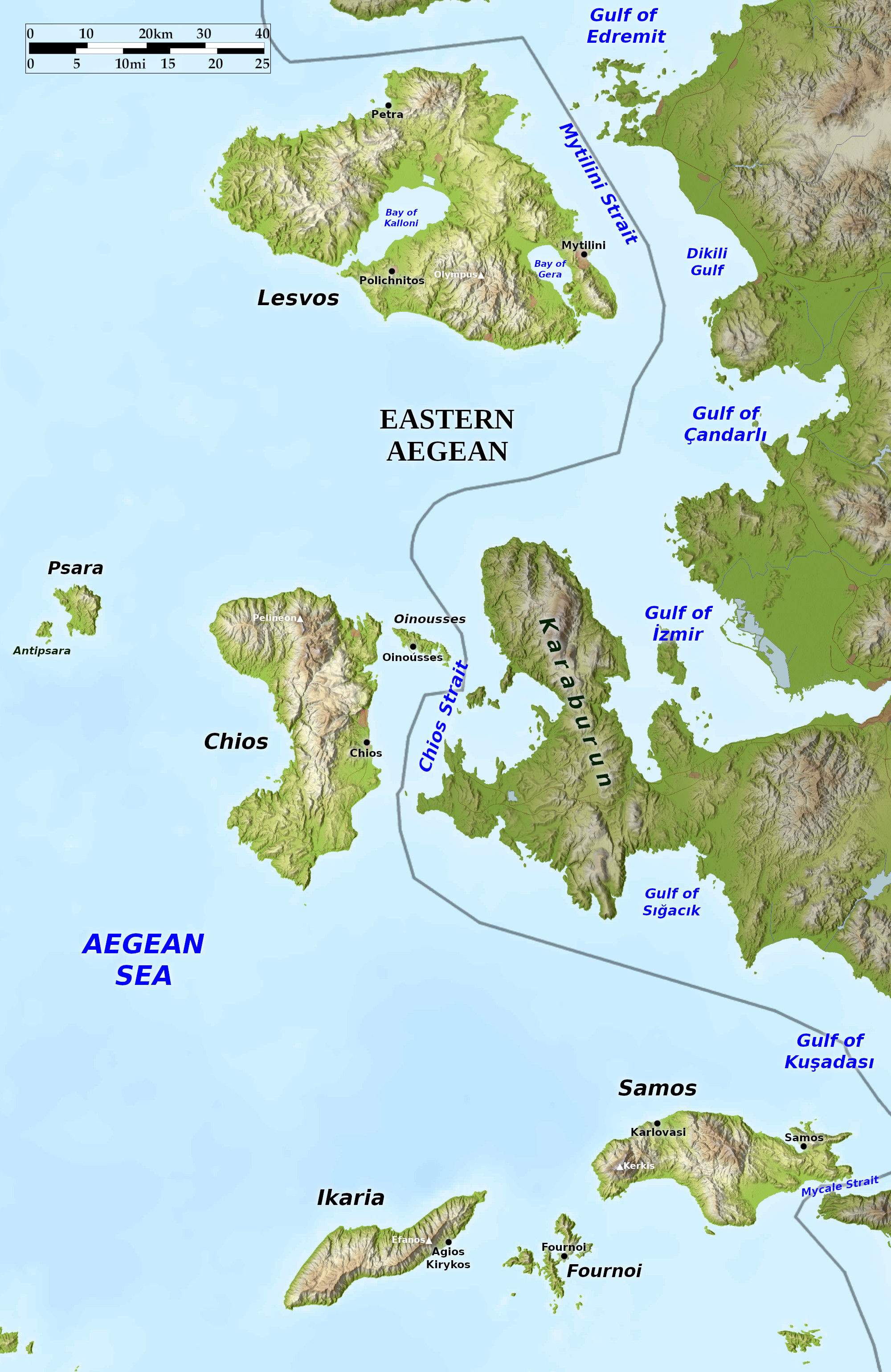 Relief map of the Eastern Aegean
What is the landscape of the Eastern Aegean like?
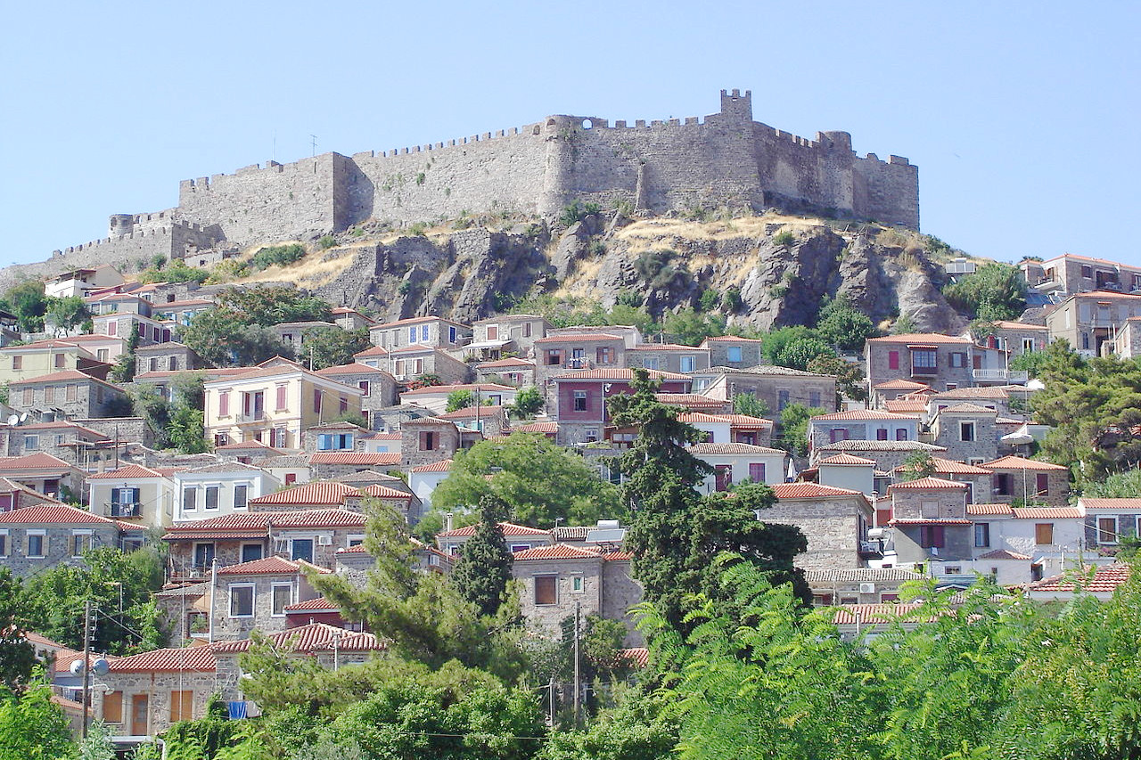
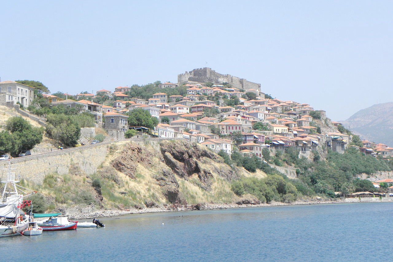
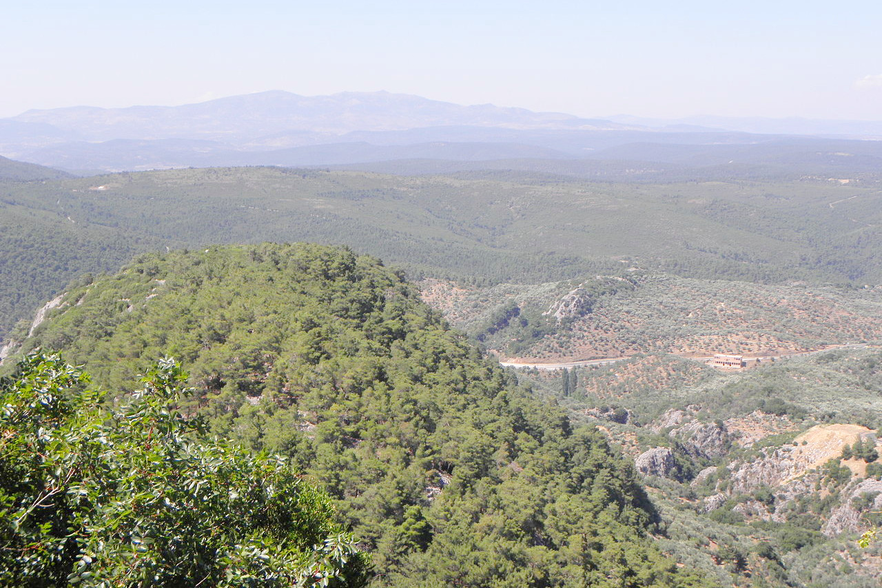
In the eastern Aegean Sea lie the four large islands of Lésvos (Lesbos), Chios, Samos, and Ikaria, all of which lie near the coast of Turkey. Lésvos has a variety of landscapes, with bare volcanic rocks in the west, and ancient metamorphic rocks in the centre and east. Most of its surface is a complex mass of hills. The highest point, 967 m (3,173 ft), is in the southeast, but towards the west the country becomes gentler and lower. The chief town, called Mytilene, is built in amphitheatre shape round a small hill crowned by remains of an ancient fortress. Lésvos was the birthplace of the poet Sappho, and is the third-largest island of Greece.
Chios, a very craggy island, is crossed from north to south by a high, broken range which reaches a maximum altitude of 1,297 m (4,255 ft) in Mt Pelineon. Spurs, valleys and wide undulating plateaux descend from this range to a narrow coastal plain. Chios is unspoiled and welcoming, offering isolated and spectacular beaches, as well as the stunning monastery of Nea Moni and some of Greece's most striking village architecture.
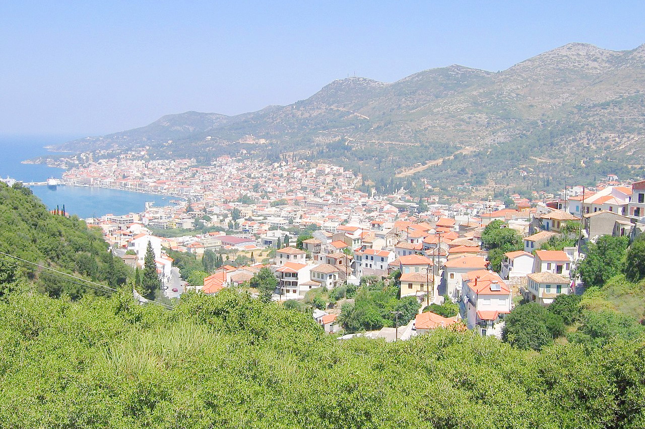
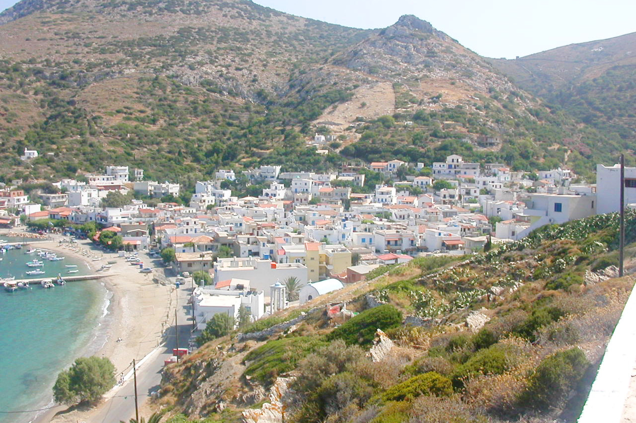
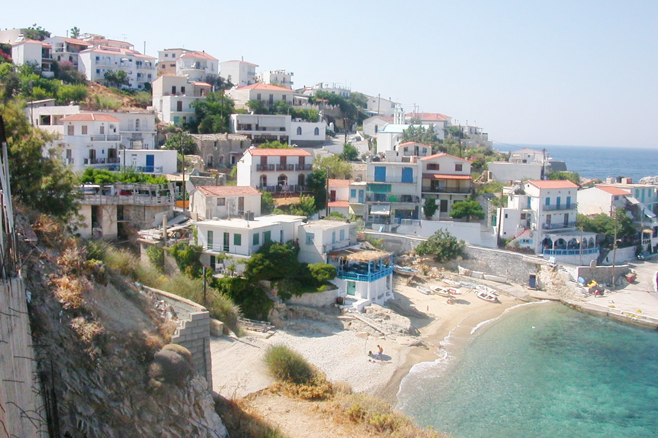
Samos is a wild, mountainous country. In the east, however, the landscape changes to one of low hills and plains. The highest summit, Mount Kerkis, is 1,433 meters (4,701 feet) high. Samos was celebrated in ancient times as the birth-place of Pythagoras. The island has important archaeological sites, and is an ideal place to explore. Ikaria, southwest of Samos, in an elongated and mountainous island, but very fertile, with an abundance of cypress trees, pine forests, olive and fruit trees.
There are, in addition, the small island of Psara off the northwest coast of Chios; Oinousses off the northeast coast of Chios; and finally, the group of Fournoi islets between Ikaria and Samos.
What is the nature of the Eastern Aegean like?
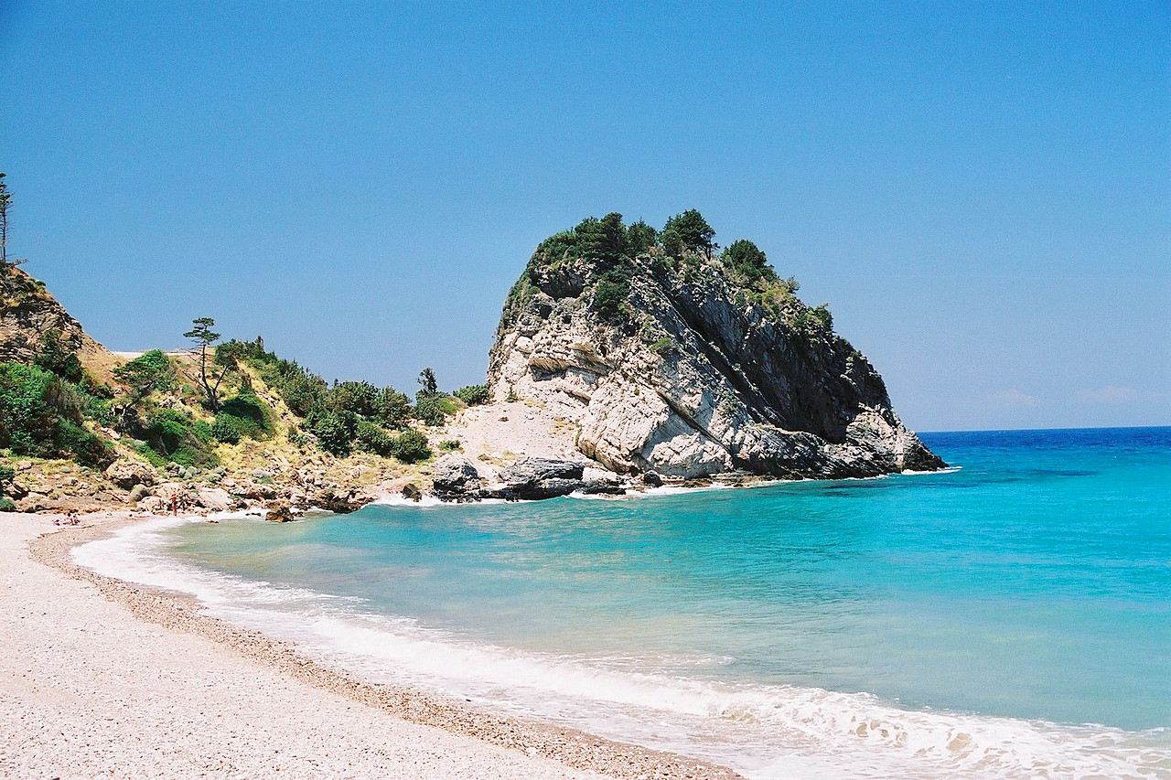
The islands of the Eastern Aegean are covered in shrubbery, often making the landscape lush with green. Higher mountain slopes are forested with Mediterranean pines, chestnut trees and some oaks. The lower slopes are cultivated especially with olive, vines and other fruit trees. Lésvos was celebrated in ancient times for its wine, oil and grain, and still has vast olive groves. On the more southerly Chios, oranges, olives and even palms grow freely. Samos, one of the principal and most fertile of the islands in the Aegean Sea, is occupied throughout by a range of mountains where the trees grow almost to the summits of the hills.
What is the climate of the Eastern Aegean like?
The climate of the Eastern Aegean is typically Mediterranean, with mild rainy winters, and warm rainless summers. Average temperatures normally range from a summer high of 30°C (86°F) to a winter low of 7°C (45 °F) in January, although temperatures of over 40°C (104 °F) or below freezing can sometimes be encountered. The islands normally experiences steady breezes throughout the year, with wind direction predominantly northerly (Etesian or "meltemi") or southwesterly (Sirocco).
| Climate data for Mytilini | |||||||||||||
|---|---|---|---|---|---|---|---|---|---|---|---|---|---|
| Month | Jan | Feb | Mar | Apr | May | Jun | Jul | Aug | Sep | Oct | Nov | Dec | Year |
| Average high °C (°F) | 12.1 (53.8) | 12.6 (54.7) | 14.6 (58.3) | 19.0 (66.2) | 23.9 (75.0) | 28.5 (83.3) | 30.4 (86.7) | 30.2 (86.4) | 26.7 (80.1) | 21.7 (71.1) | 17.2 (63.0) | 13.8 (56.8) | 20.9 (69.6) |
| Daily mean °C (°F) | 9.5 (49.1) | 9.9 (49.8) | 11.6 (52.9) | 15.6 (60.1) | 20.2 (68.4) | 24.7 (76.5) | 26.6 (79.9) | 26.1 (79.0) | 22.9 (73.2) | 18.5 (65.3) | 14.3 (57.7) | 11.3 (52.3) | 17.6 (63.7) |
| Average low °C (°F) | 6.7 (44.1) | 7.0 (44.6) | 8.0 (46.4) | 11.2 (52.2) | 15.2 (59.4) | 19.3 (66.7) | 21.6 (70.9) | 21.4 (70.5) | 18.5 (65.3) | 14.8 (58.6) | 11.4 (52.5) | 8.7 (47.7) | 13.7 (56.7) |
| Average precipitation mm (inches) | 129.9 (5.11) | 97.2 (3.83) | 75.1 (2.96) | 46.8 (1.84) | 21.2 (0.83) | 6.0 (0.24) | 2.3 (0.09) | 4.1 (0.16) | 10.7 (0.42) | 38.2 (1.50) | 93.7 (3.69) | 145.4 (5.72) | 670.6 (26.40) |
| Source: Hellenic National Meteorological Service | |||||||||||||
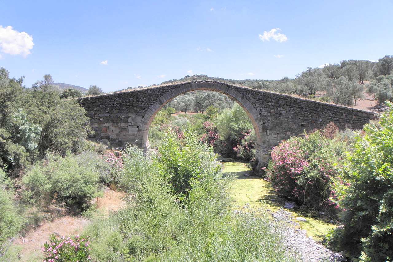 Kremasti Venetian Bridge, Lesbos
The official websites
Eastern Aegean
Just a breath away from the Asia Minor coast
| Location: | Eastern Aegean Sea; off the coast of Turkey |
| Coordinates: | 38° 30′ N, 26° 00′ E |
| Size: | • 210 km N-S; 140 km E-W • 130 miles N-S; 85 miles E-W |
| Terrain: | Hilly and mountainous islands |
| Climate: | Mediterranean climate, with mild winters and hot summers |
| Highest point: | Mount Kerkis 1,433 m / 4,701 ft |
| Forest: | 25% (2010 est.) (source) |
| Population: | 212,227 (2020) |
| Population density: | Low (64/km²) |
| Capital: | — |
| Languages: | Greek |
| Human Development Index: | Very high (0.888) |