_on_September_5,_2020.jpg)
2.JPG)
The Geography of the
Peloponnese
Why visit the Peloponnese?
The Peloponnese is the garden of Greece, and cradle of its oldest myths, where names like Olympia, Sparta, and Mycenae were born. The Peloponnese is almost an island—you are never very far from the sea, and yet two-thirds of the landmass consists of mountains dividing the territory into many distinct regions and creating a spectacular landscape.
Contents
Map
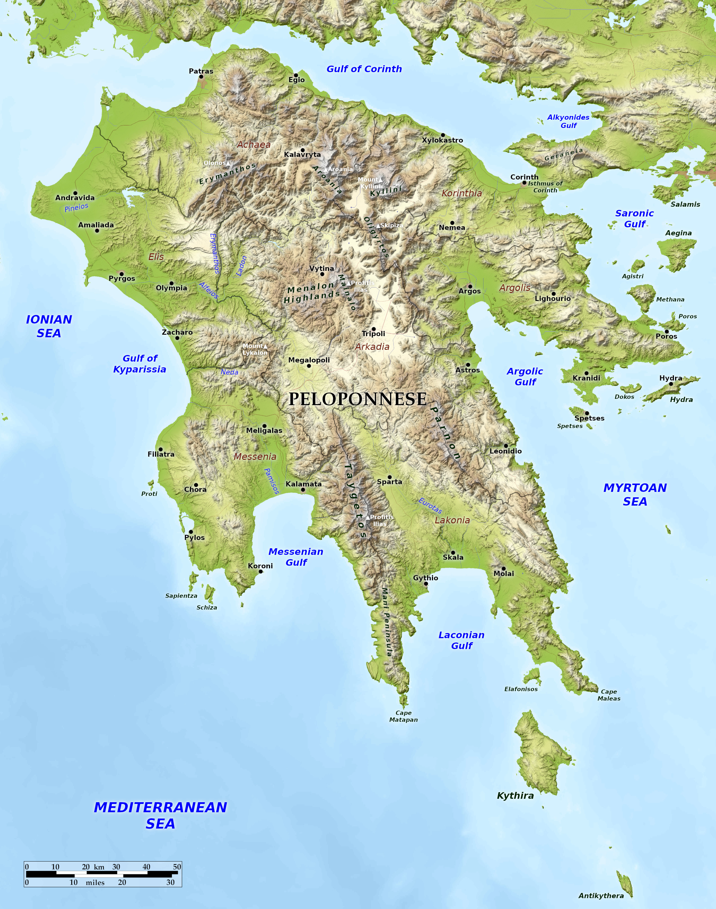 Relief map of the Peloponnese
What is the landscape of the Peloponnese like?
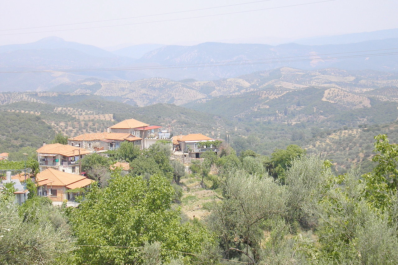
The Peloponnese is part of Greece south of the Isthmus of Corinth. In the middle of the Peloponnese lies the central plateau of Arcadia. Shut off from the coast lands on all sides by mountain barriers, this inland plateau is a series of upland plains divided by numerous hill ranges and winding valleys. The ancient inhabitants were a nation of shepherds and huntsmen, worshipping Pan, Hermes and Artemis, primitive nature-deities.
To the northwest is Elis, an ancient district—its mountains are mere offshoots of the Arcadian highlands, but well clothed with vegetation, soft in contrast to the wildness of the parent ranges. They gradually sink towards the west into the rich alluvial lowlands. Except for the some rocky promontories, the coast is low, with stretches of sand in the north and lagoons and marshes towards the south.
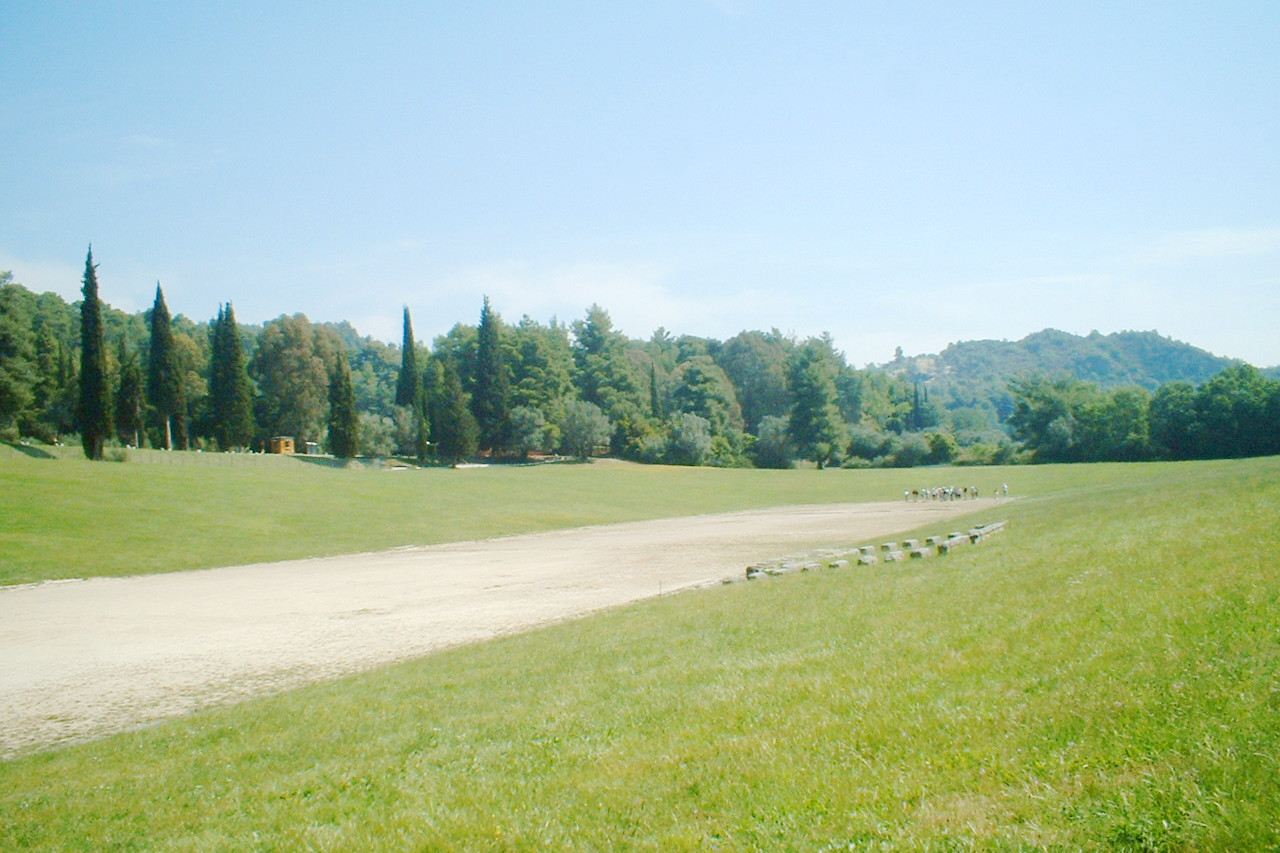
For the ancient Greeks, the most important spot in Elis was Olympia, the scene of the celebrated games. It was never properly a town, but was a group of temples, shrines, palaces, amphitheaters and public buildings where the Greeks would assemble annually, for more than a thousand years, and engage in semi-sacred games. The natural situation of Olympia is of great beauty, a spacious and well-wooded valley beneath the snow-crowned mountains rising in the distance.
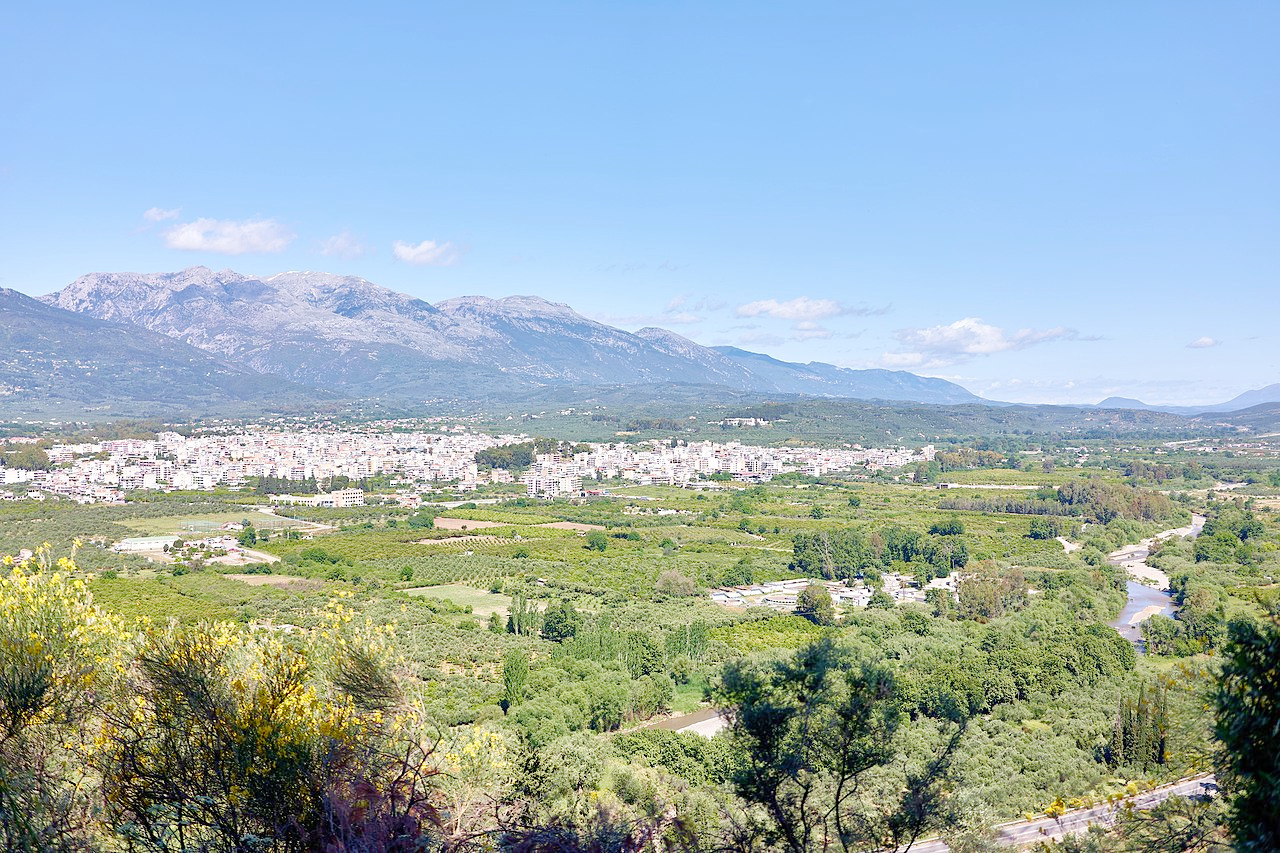
In the southwest of the Peloponnese is Messenia. Historically and economically its most important part is the great plain, consisting of two distinct portions, watered by the river Pamisus. This is a very fertile region, producing olives, figs, and sultanas. Messenia is bounded on the east by Mount Taygetus, the highest mountain in the Peloponnese peninsula.
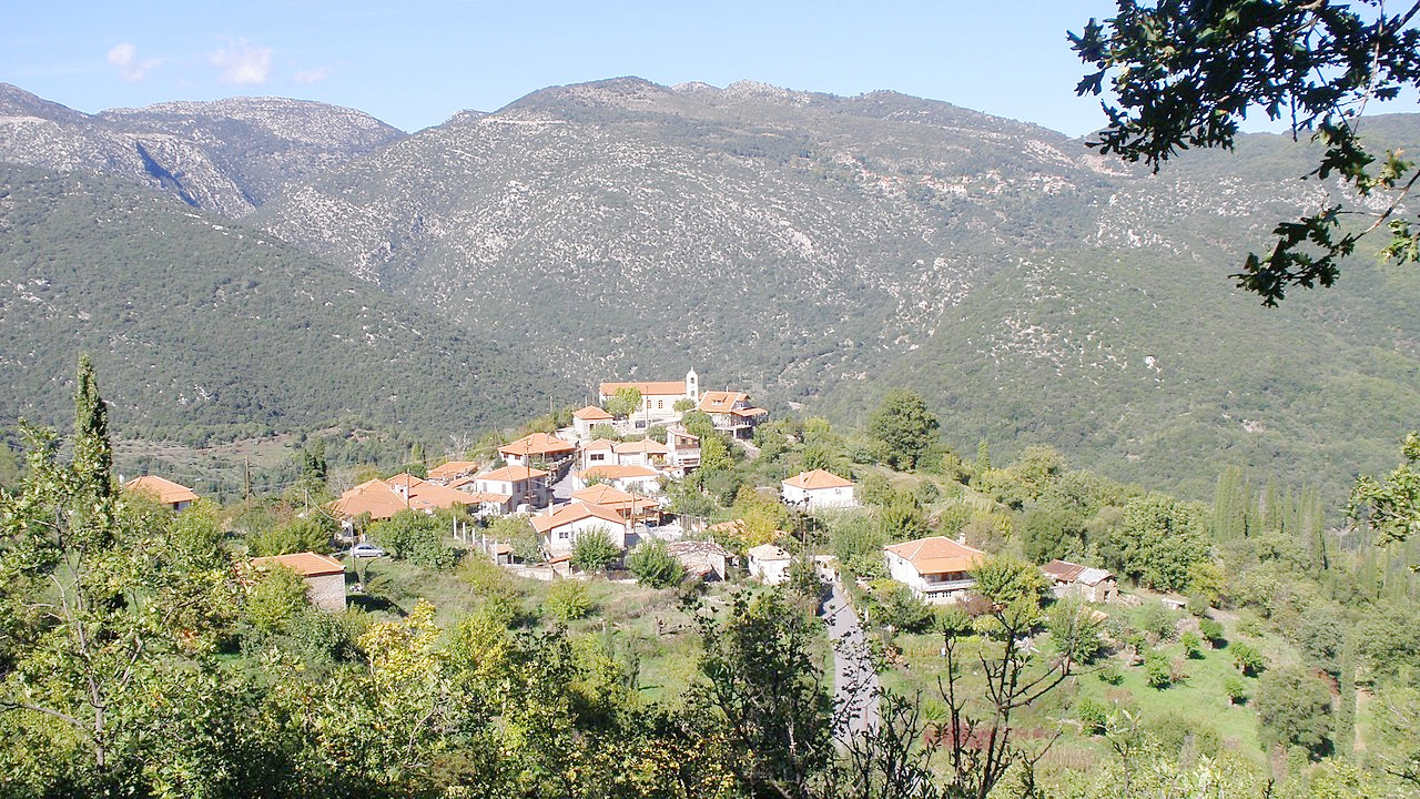
Lakonia is the south-eastern district of the Peloponnese—in ancient times Sparta was the capital of this region. The range of Taygetus is well-watered and was covered with forests which afforded excellent hunting to the Spartans. The valley of the Eurotas, which occupies the centre is fertile, and has olive and orange groves in great abundance. The modern town of Sparti was built on part of the ancient city of Sparta, and is beautifully located.
_on_September_5,_2020.jpg&oldid=486986834)
2.JPG&oldid=464182635)
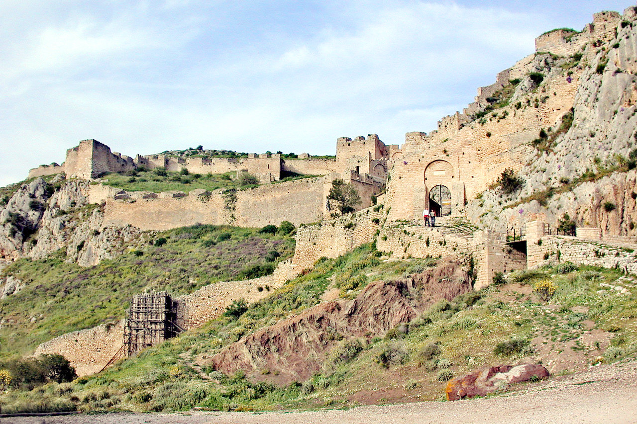
Corinth resembles the adobe towns of New Mexico and Arizona. It is surrounded by clay cliffs, weatherworn into fantastic shapes like those of the Rio Grande valley. The town has a beautiful site, at the head of the gulf. The water has a deep-blue color, with opalescent tints upon the surface. At the top of the highest hill, the Acrocorinth, as it is called, is a medieval fortress erected by the Venetians when they possessed the country. It is surrounded by ruins of ancient houses and temples from which the material to build the fort was taken. The view from the peak, famous even in antiquity, embraces a great part of the mountainous district on both sides of the Gulf of Corinth, which is spread out like a map around the observer.
What is the nature of the Peloponnese like?
Olive trees are everywhere in the Peloponnese, planted at the expense of the native forest since ancient times. Its common companion in the countryside is the cypress tree—standing alone, or in groves. Almost every village square is covered by the share of spreading plane tree, some of which grow to enormous size. The foreign eucalyptus is often planted along avenues, and the hardy tamarisk by beaches. Fruit trees are very common, including huge groves of lemon and orange. Pomegranates, figs, mulberry, and carob, are other signature trees.
The Peloponnese is famous for its extraordinary displays of wild flowers. Trees begin to blossom as early as the end of February in warmer coastal areas, and the wild flowers start to appear in March. Spring is the best season to see them, although they continue on for every month of the year. Summer months can seem arid, with bare and dusty hillsides, there are still gems to be found, whilst the rains of autumn bring on a mini revival of vegetation.
What is the climate of the Peloponnese like?
The Peloponnese has a hot Mediterranean climate with hot and dry summers and rainy winters with generally mild temperatures. Summers are very hot and dry and the Peloponnese is often the hottest region of Greece during summer. Winters are mild or cool, with plenty of rainy days. January mean maximum temperatures are around 14°C (57°F) while July and August mean maximum temperatures are around 34°C (93°F). Temperatures in the mountains tend to be a few degrees cooler.
| Climate data for Argos (1980 - 2010) | |||||||||||||
|---|---|---|---|---|---|---|---|---|---|---|---|---|---|
| Month | Jan | Feb | Mar | Apr | May | Jun | Jul | Aug | Sep | Oct | Nov | Dec | Year |
| Average high °C (°F) | 14.6 (58.3) | 14.7 (58.5) | 17.4 (63.3) | 21.3 (70.3) | 26.5 (79.7) | 31.4 (88.5) | 34.0 (93.2) | 33.7 (92.7) | 29.7 (85.5) | 24.7 (76.5) | 19.2 (66.6) | 15.5 (59.9) | 23.6 (74.4) |
| Daily mean °C (°F) | 8.2 (46.8) | 8.4 (47.1) | 10.9 (51.6) | 14.9 (58.8) | 20.3 (68.5) | 25.1 (77.2) | 27.5 (81.5) | 26.8 (80.2) | 22.6 (72.7) | 18.0 (64.4) | 13.0 (55.4) | 9.6 (49.3) | 17.1 (62.8) |
| Average low °C (°F) | 3.0 (37.4) | 2.9 (37.2) | 4.3 (39.7) | 6.7 (44.1) | 10.5 (50.9) | 14.0 (57.2) | 16.7 (62.1) | 16.8 (62.2) | 14.2 (57.6) | 11.5 (52.7) | 7.7 (45.9) | 4.8 (40.6) | 9.4 (49.0) |
| Average precipitation mm (inches) | 66.5 (2.62) | 52.5 (2.07) | 52.2 (2.06) | 33.7 (1.33) | 18.7 (0.74) | 8.9 (0.35) | 9.1 (0.36) | 13.0 (0.51) | 20.3 (0.80) | 44.3 (1.74) | 82.5 (3.25) | 69.7 (2.74) | 471.4 (18.57) |
| Source: Hellenic National Meteorological Agency | |||||||||||||
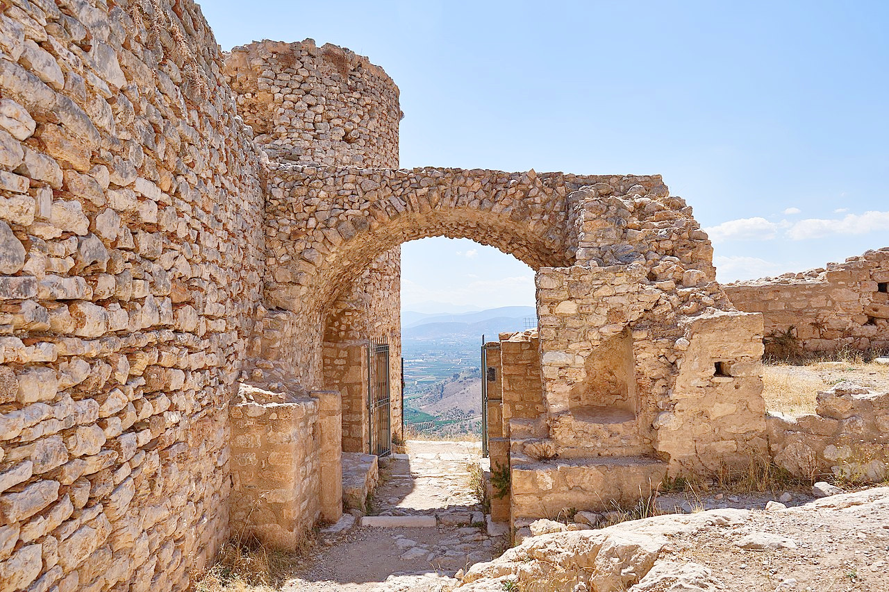 The interior of Larissa Castle of Argos
The official websites
Peloponnese
Where myth meets history
| Location: | Southern mainalnd Greece |
| Coordinates: | 37° 30′ N, 22° 15′ E |
| Size: | • 220 km N-S; 215 km E-W • 135 miles N-S; 130 miles E-W |
| Terrain: | Mountainous with deeply indented coasts. Isolated coastal plains |
| Climate: | Mediterranean climate with hot dry summers and mild winters. Colder winters in the mountains |
| Highest point: | Profitis Ilias 2,405 m / 7,890 ft |
| Forest: | 30% (2010 est.) (source) |
| Population: | 1,155,019 (2011) |
| Population density: | Low (54/km²) |
| Capital: | — |
| Languages: | Greek |
| Human Development Index: | Very high (0.888) |