The Geography of
Ireland
Why visit Ireland?
Ireland has been called the Emerald Isle for a reason—it is lush green with rolling hills, crystal-clear rivers and cliffs galore. The western coast is broken by wide or wedge-shaped fjords that run far inland. There are many beautiful lakes, both in the interior and within the girdle of mountains. The green fields, rolling hills, wild rivers and picturesque villages are all reasons enough to visit.
Map
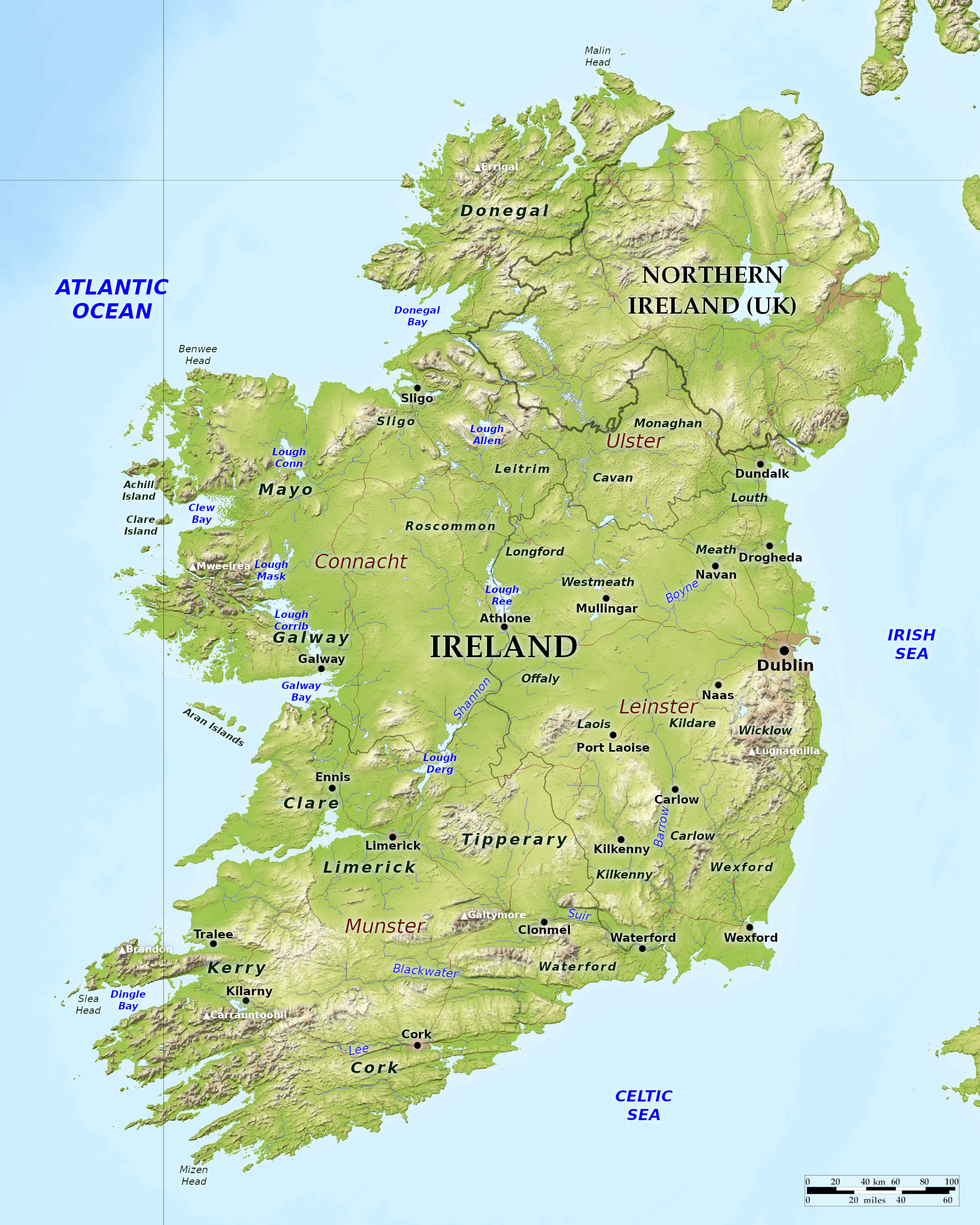 Relief map of Ireland
What is the landscape of Ireland like?
Ireland is divided into four provinces of Ulster, Connaught, Leinster, and Munster. The country consists of a large undulating plain in the centre, containing extensive peat-bogs, several large lakes (loughs), and surrounded on almost all sides by rugged coasts and highlands.
Ulster
Donegal is the county in the extreme northwest of Ireland. Mountains and irregular groups of highlands occupy the whole interior of the county, and large parts are bog and moorland. The scenery of the highlands and the sea-coast often attain a character of savage and romantic grandeur; while even the lower eastern and southern portions still possess considerable beauty.
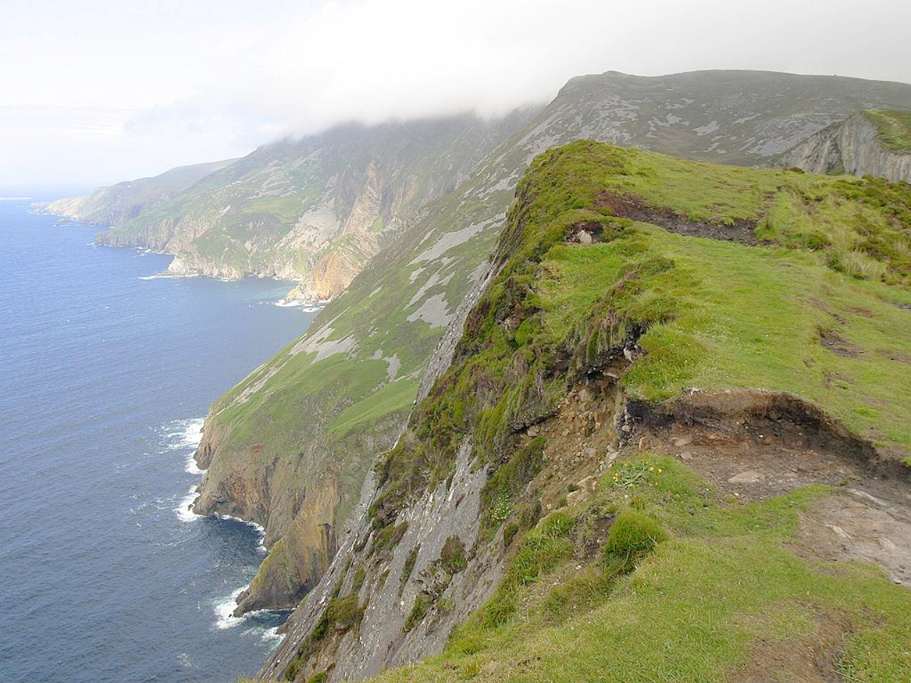
The county possesses a long sea-coast with numerous inlets. In the far northeast is Lough Foyle on the border with Northern Island, while few miles west of Malin Head, the most northerly point of the mainland of Ireland, Lough Swilly runs deep into the interior. Elsewhere numerous islands and rocks stud the coast. Mountains impinge upon the sea almost over the whole length, sometimes, as in Slieve League immediately facing it with huge cliffs.
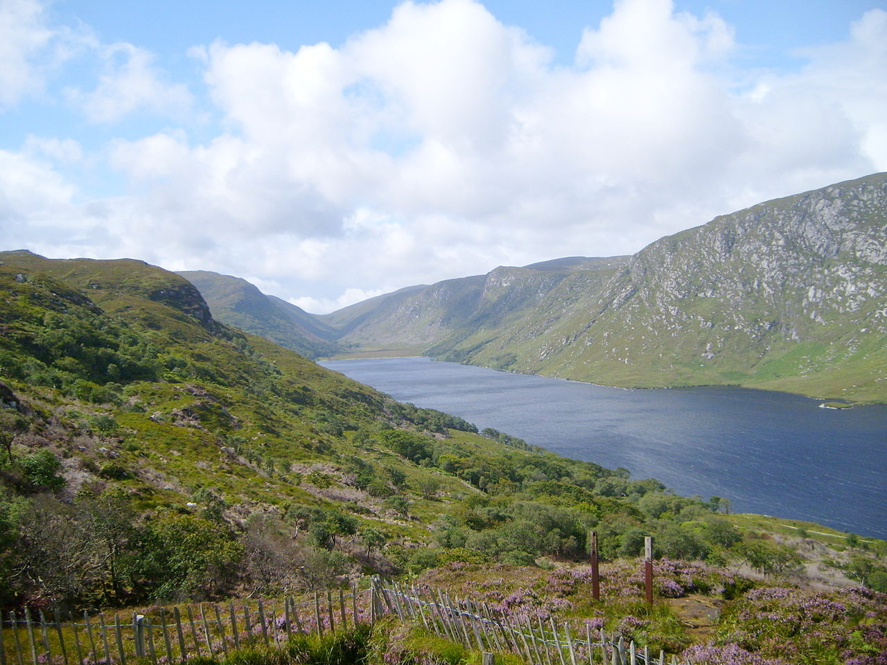
Lakes are very numerous in Donegal. The most remarkable, and also the largest, is Lough Derg, comprising within its waters several islets, on one of which, Station Island, is the cave named St Patrick’s Purgatory, a celebrated site of pilgrimage. The landscape round Lough Derg is one of barren moors and heathy hills on all sides.
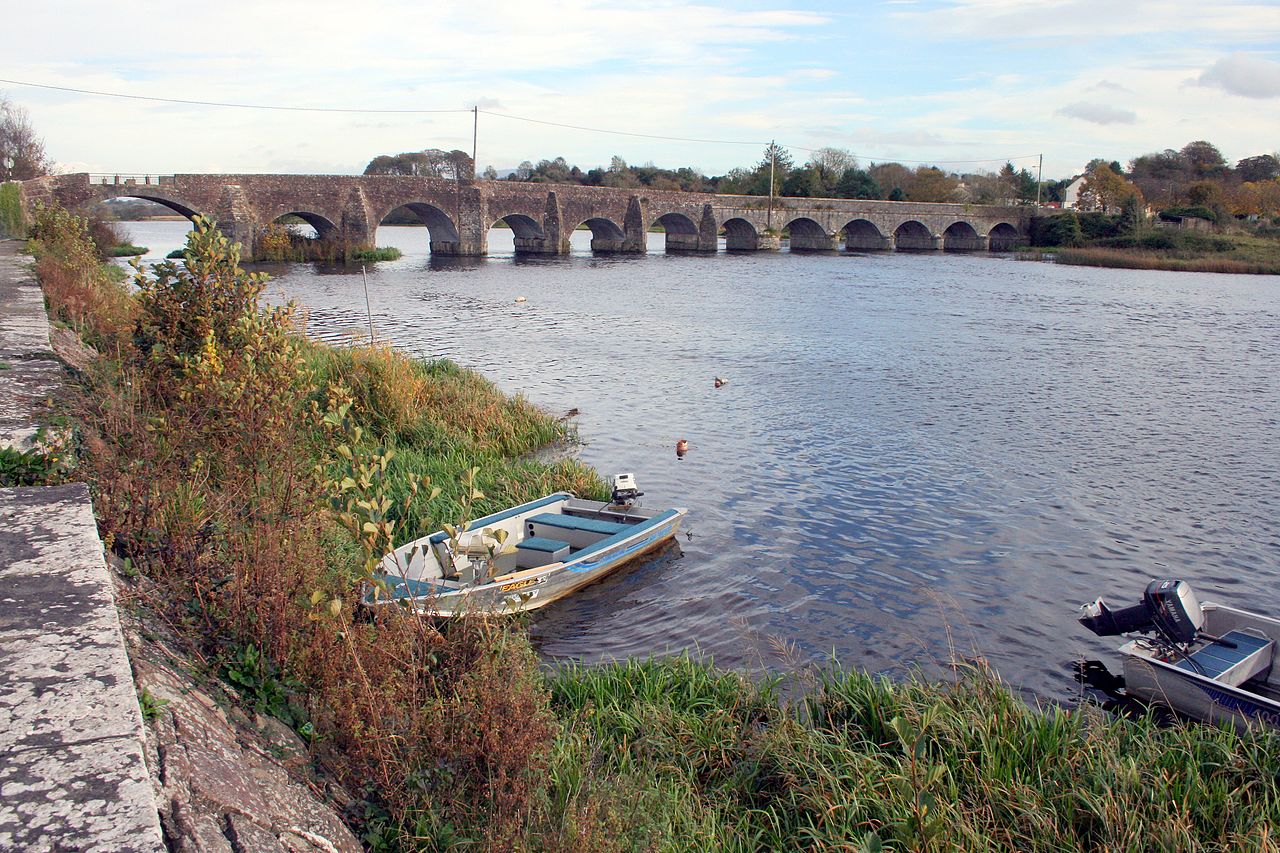
The other parts of Ulster belonging to the Republic are the counties of Cavan and Monaghan. These counties are mostly hills and dales, rising above 600 meters (2,000 feet) in Cavan, with little level ground. The region is forested in parts, and small lakes abound everywhere. A copious spring called the Shannon Pot, at the foot of the Cuilcagh mountain, is the traditional source of the River Shannon—Ireland's longest river.
Connaught
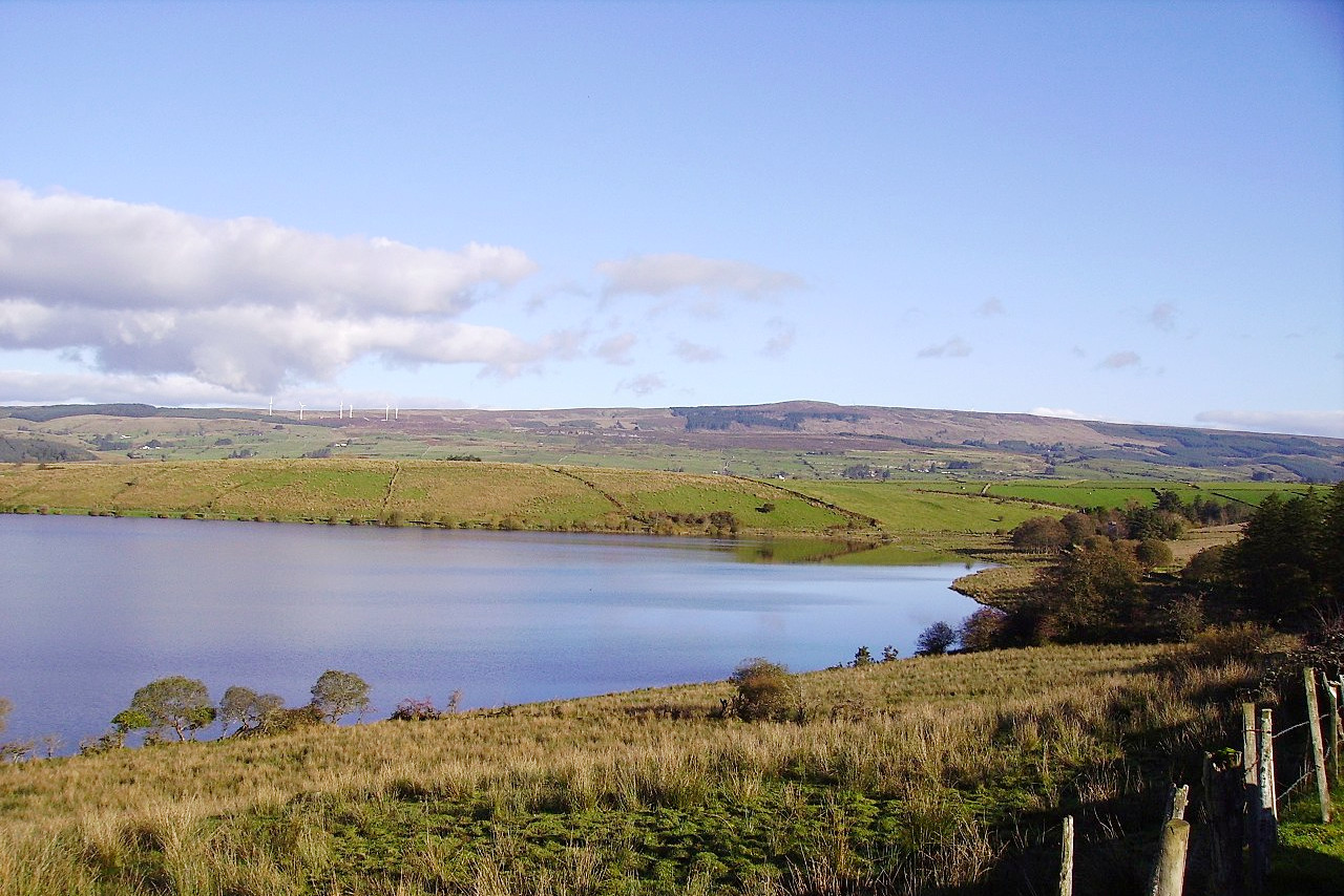
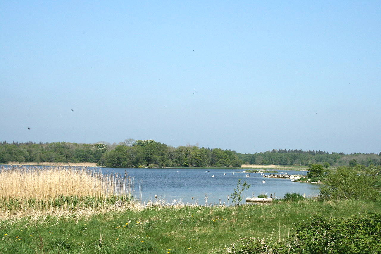
In the north and east are the counties of Sligo, Leitrim, and Roscommon. Although these counties cannot be compared for scenery with the western parts of the region, Sligo is well wooded and possesses many beautiful lakes, rivers and ranges of hills. Leitrim has mountainous country round Lough Allen, whereas Roscommon is largely flat but still filled with lakes.
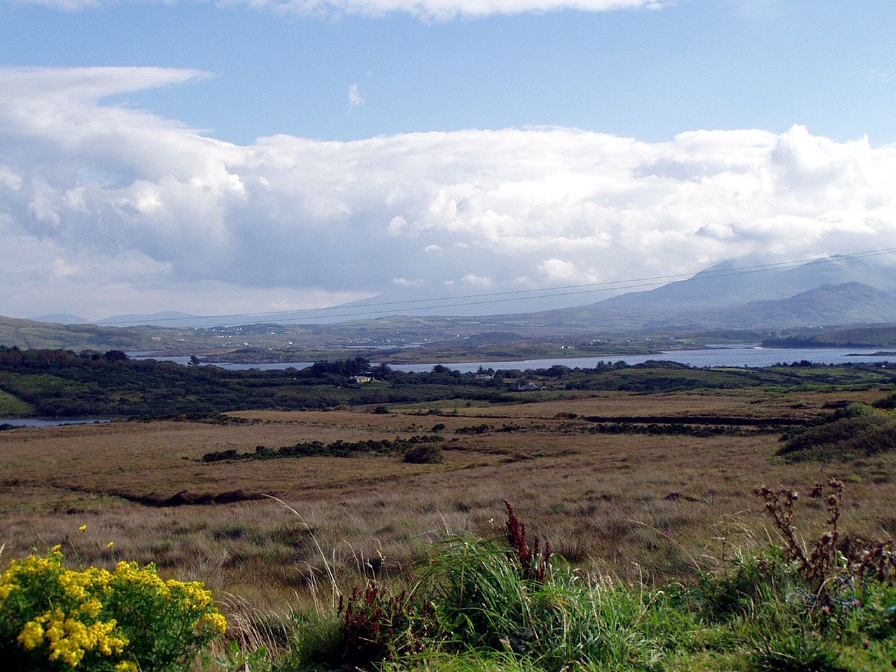
County Mayo sticks out like a hammer-like projection from the west coast of Ireland. The county abounds in beautiful scenery. Islands are plentiful, the principal being Clare Island, at the mouth of Clew Bay, where there are many islets; and Achill, the largest island off Ireland. The majestic cliffs of the north coast reach an extreme height in Benwee Head (255 meters), offering some of the most dramatic coastal scenery in Ireland. The wild and barren west of this county is mountainous, peaking at Mweelrea at 814 meters (2,671 ft).
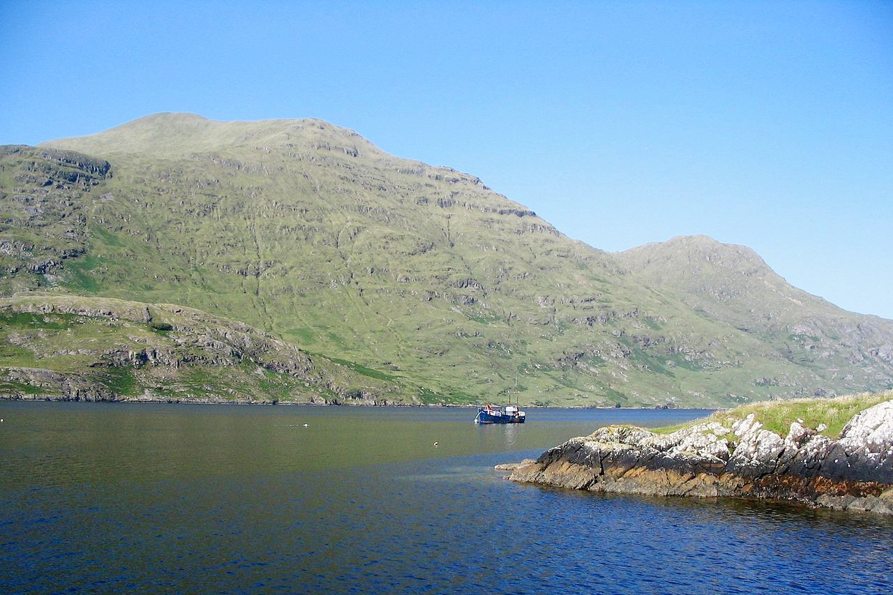
Across the south of Connaught stretches the county of Galway. Much of the eastern section is a level country with large quantities of wet bog, but its southern portion contains part of the vale of Limerick, celebrated for its fertility. The western part of the county is rugged and mountainous. Galway possesses a very extended coast with many small harbours. The western mountains, broken by deep landlocked and island-sheltered bays, as well as by the innumerable small loughs of the Connemara districts, provides scenes varying from gentle hills to wild moorlands, while the summits are bold and rocky cones.
Leinster
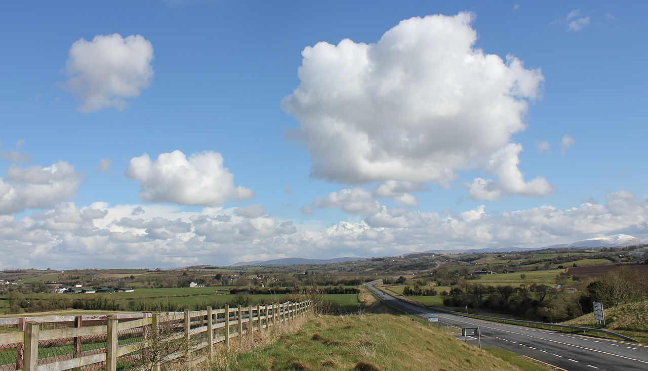
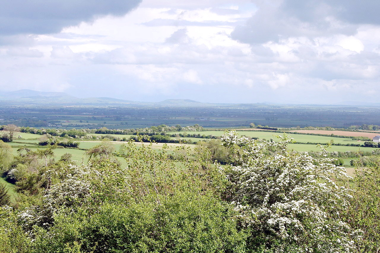
The northern half of Leinster is part of the great Irish plain—bright green expanses of low-lying firm ground alternating with the brown of the Irish peat-bogs. The greater part of the surface is undulating, with occasionally lofty hills. Many of the hills are finely wooded, and others are covered with heath. Towards the sea the country is very scenic, but the coast is for the most part low and sandy.
Much of the county of Westmeath is occupied by peat-bog, but a special feature of Westmeath is the large number of loughs, some around five to six miles in length. The river Boyne rises in the Bog of Allen in county Kildare, and flowing in a north-easterly direction, enters the Irish Sea—much of the scenery on its banks is beautiful.
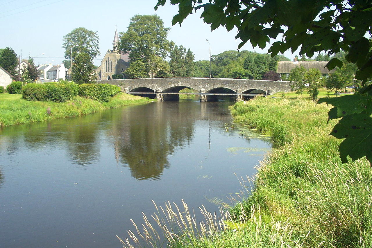
South of Dublin the land rises—the hills being the extremity of the great group belonging to the county of Wicklow. The chief river in Dublin is the Liffey, which rises in the Wicklow mountains about 12 miles southwest of Dublin, and after running about 50 miles empties itself into Dublin Bay. The course of the river is so tortuous that 40 miles may be traveled and only 10 gained in direction. The scenery along the banks of the Liffey is remarkably beautiful.
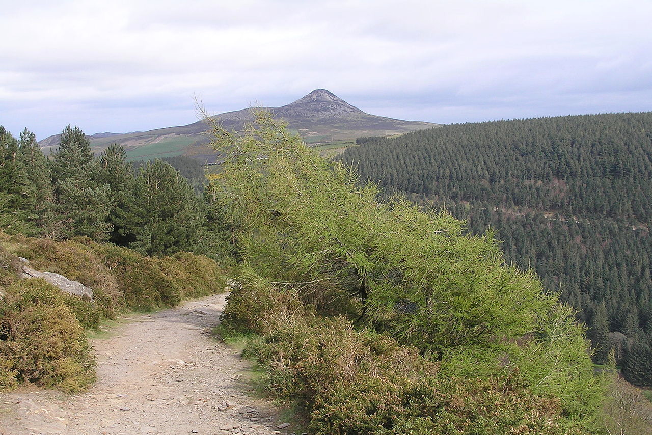
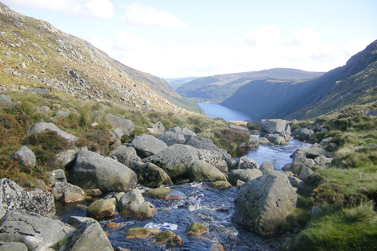
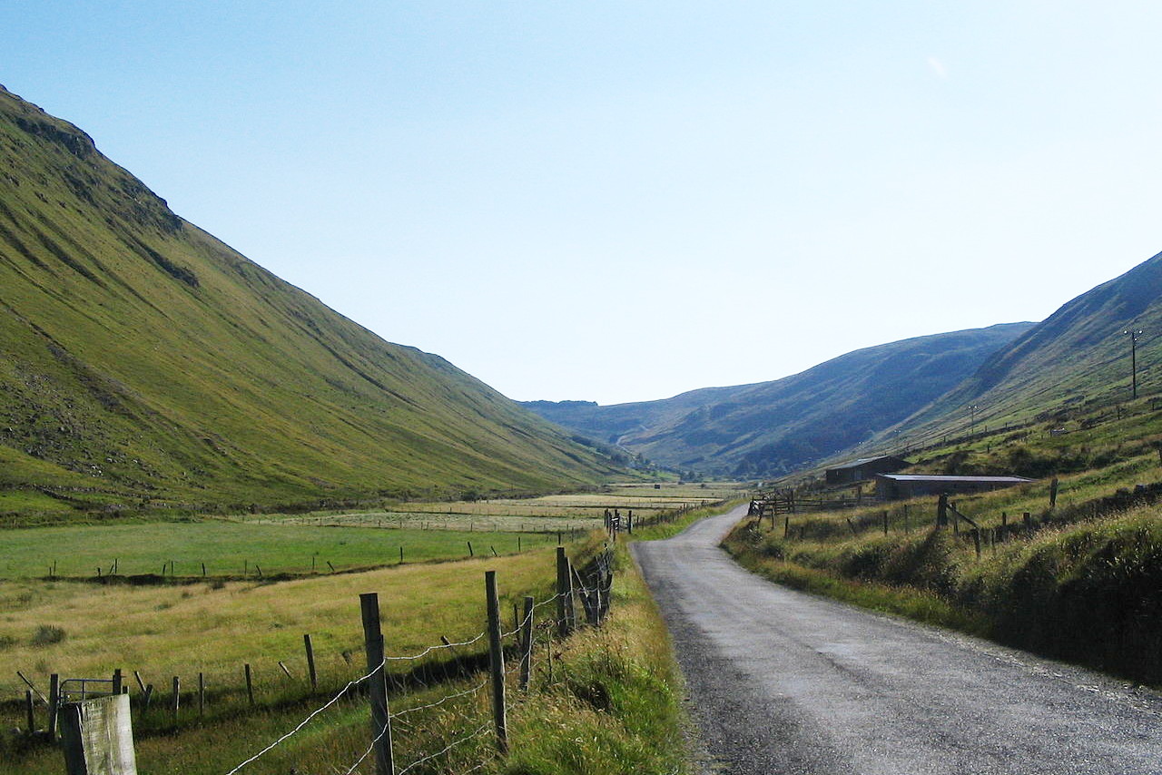
The central portion of the county Wicklow is occupied by the Wicklow mountains, one of the main mountain ranges of Ireland. The range consists of long sweeping moorlands rising occasionally by steep cliffs into high peaks, the highest summit being Lugnaquilla at 925 meters (3,035 feet). The beauty of the Wicklow mountains lies in its wild solitude and in its deep glens—the rugged natural features contrasting with the rich foliage of the woods which line their banks.
In the west of Leinster are the Slieve Bloom Mountains which form the boundary between the counties of Offaly and Laois; they consist of a mass of steep and lofty crags through which there are narrow passes—the Black Gap and the Gap of Glandine.
The southern parts of Leinster, consisting of the counties of Kilkenny, Carlow, and Wexford are a mixture of river plains and hills. The soil is of great natural richness, lacking in peat-bogs, and is very fertile. Between Carlow and Wexford are the wild and barren granitic heights of the Blackstairs Mountains culminating at Mount Leinster at 796 meters (2,612 feet).
 Black Rock Mountain, County Wexford
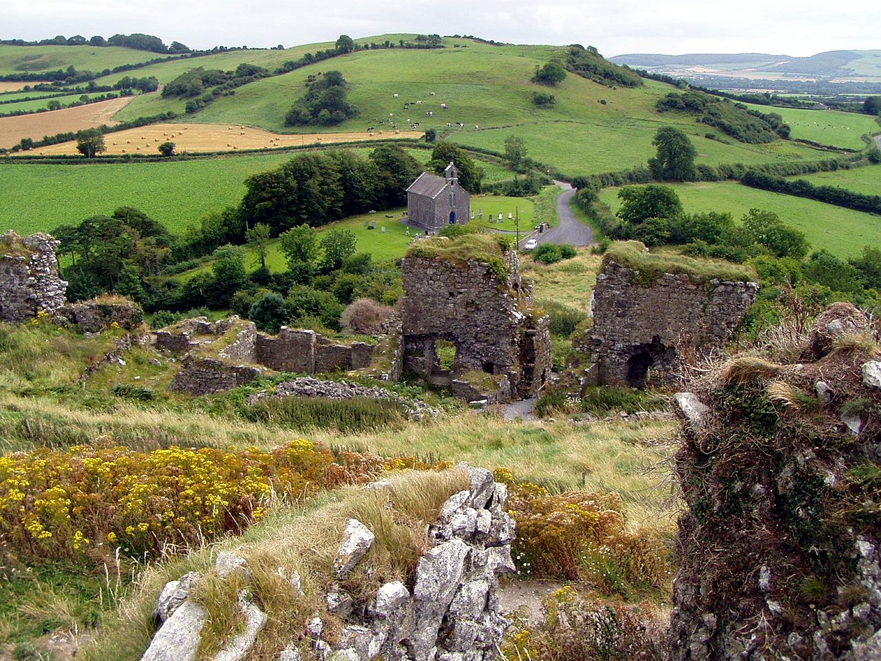
Munster
The east of Munster—Tipperary and Waterford—is varied and scenic. The coastline is in some parts bold and rocky, with many bays and inlets, scenic cliffs and some extensive caves. Ranges of hills cross these counties providing beautiful inland scenery especially towards the west. The Knockmealdown Mountains, which attain a height of 792 meters (2,598 feet) form the boundary between Waterford and Tipperary. To the north of this range are the picturesque Galtymore Mountains peaking at 918 metres (3,012 ft).
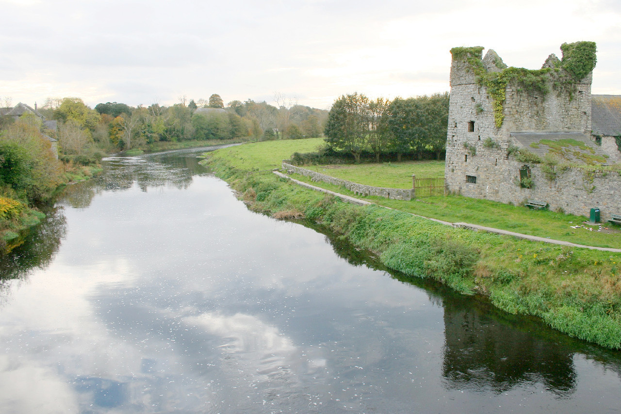
Limerick is a comparatively level county, only becoming mountainous on its borders. Limerick includes the greater part of the Golden Vale, the most fertile district of Ireland. Along the banks of the Shannon there are large tracts of flat meadow land with peaty soil and very fertile.
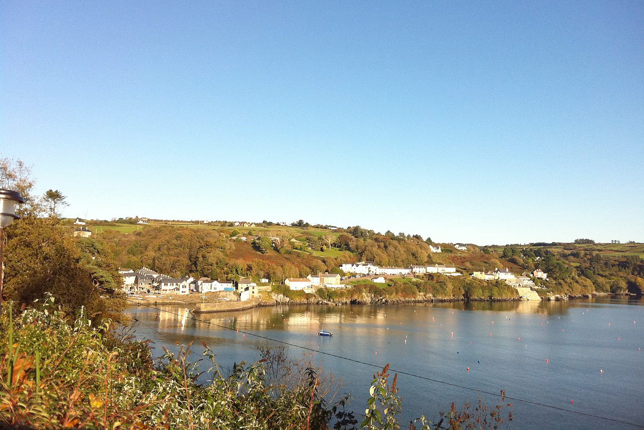
County Cork has a bold and rocky coastline. The southern part of the coast projects several headlands into the Atlantic, and its southeastern side is indented by Cork Harbour. Inland, the terrain is undulating—low rounded ridges, with corresponding valleys, but which becomes more mountainous towards the west. The scenery of the western parts of the county is very rugged. In the central and eastern parts, especially in the valleys, it is green and quiet, and in some spots well wooded.
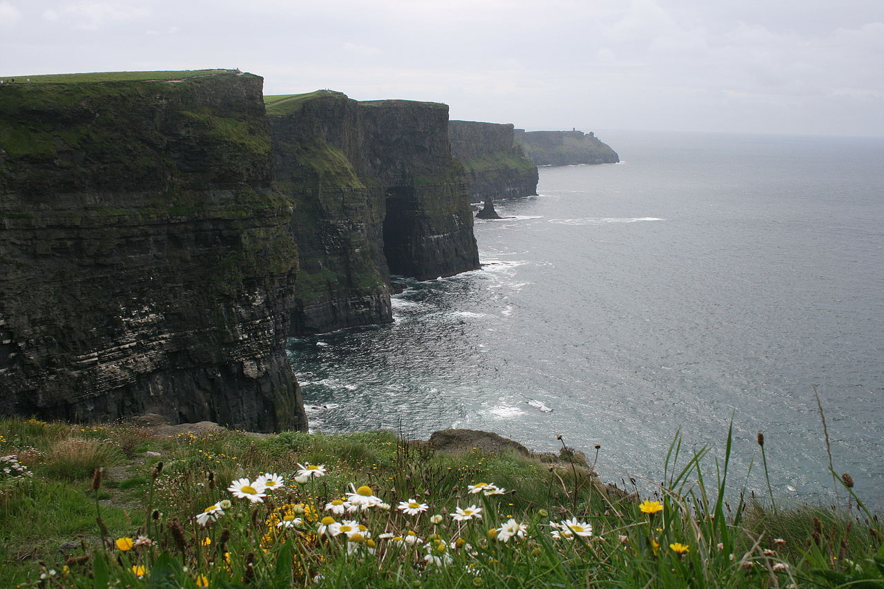
The county of Clare is very hilly in the east, while the west abounds in peat-bog even in the hilly districts. The coast is in general rocky, and occasionally very steep as may be observed at the scenic Cliffs of Moher which rise to a height of 155 meters (509 feet). The coast of Clare is indented with many bays, and on its boundary lies the river Shannon, which enters the Atlantic Ocean between this county and Kerry. There are a great number of lakes and tarns in the Clare, beautiful but rarely large, with the exception of the extensive Lough Derg, formed by the river Shannon.
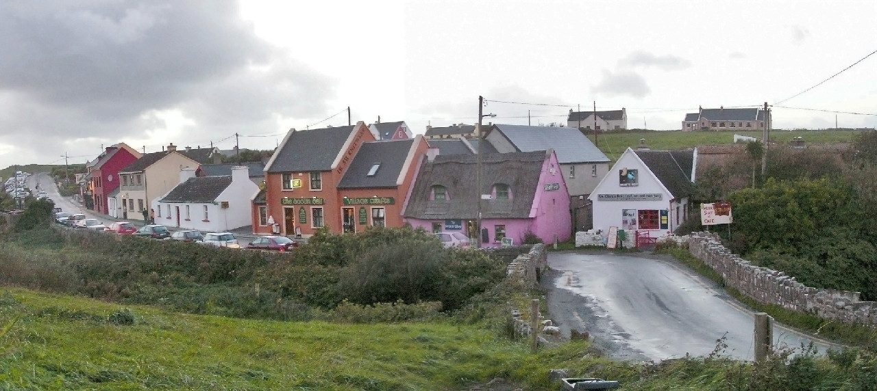 Coastal village of Doolin, County Clare
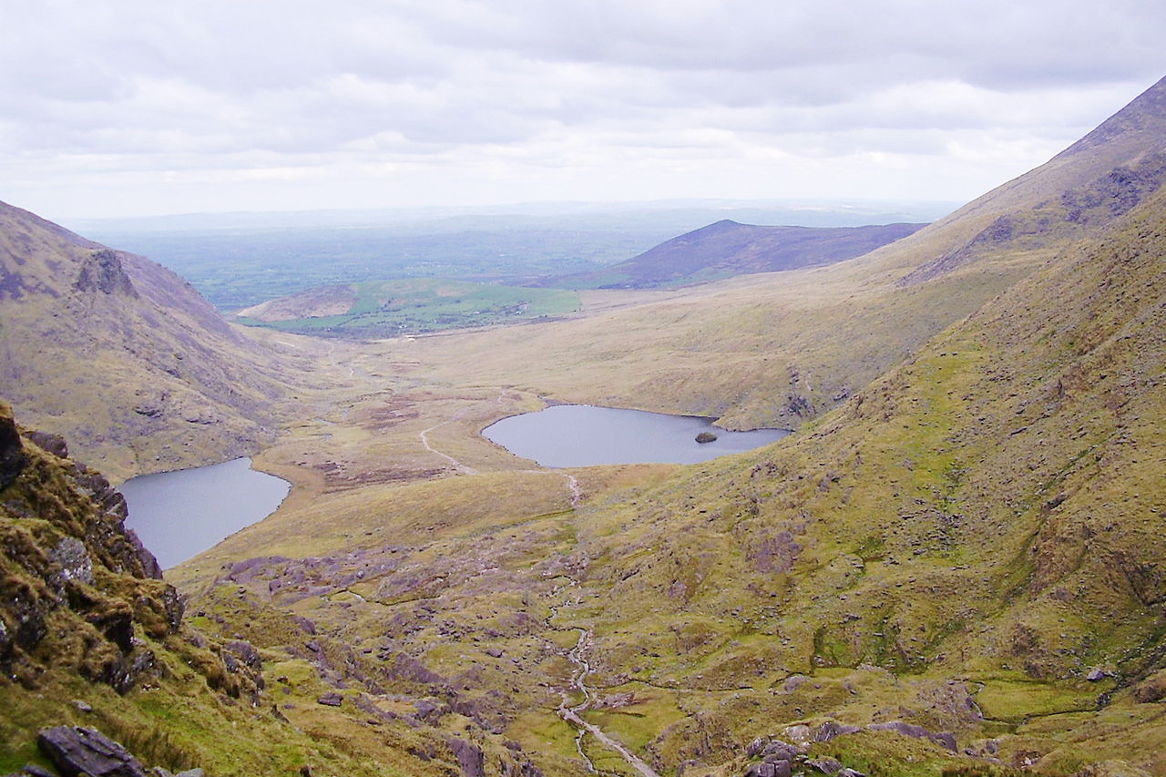
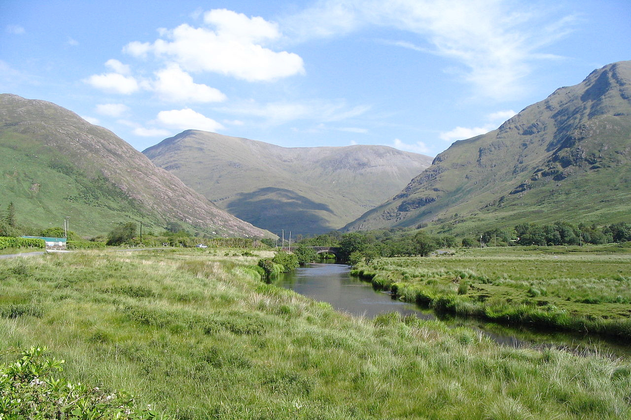
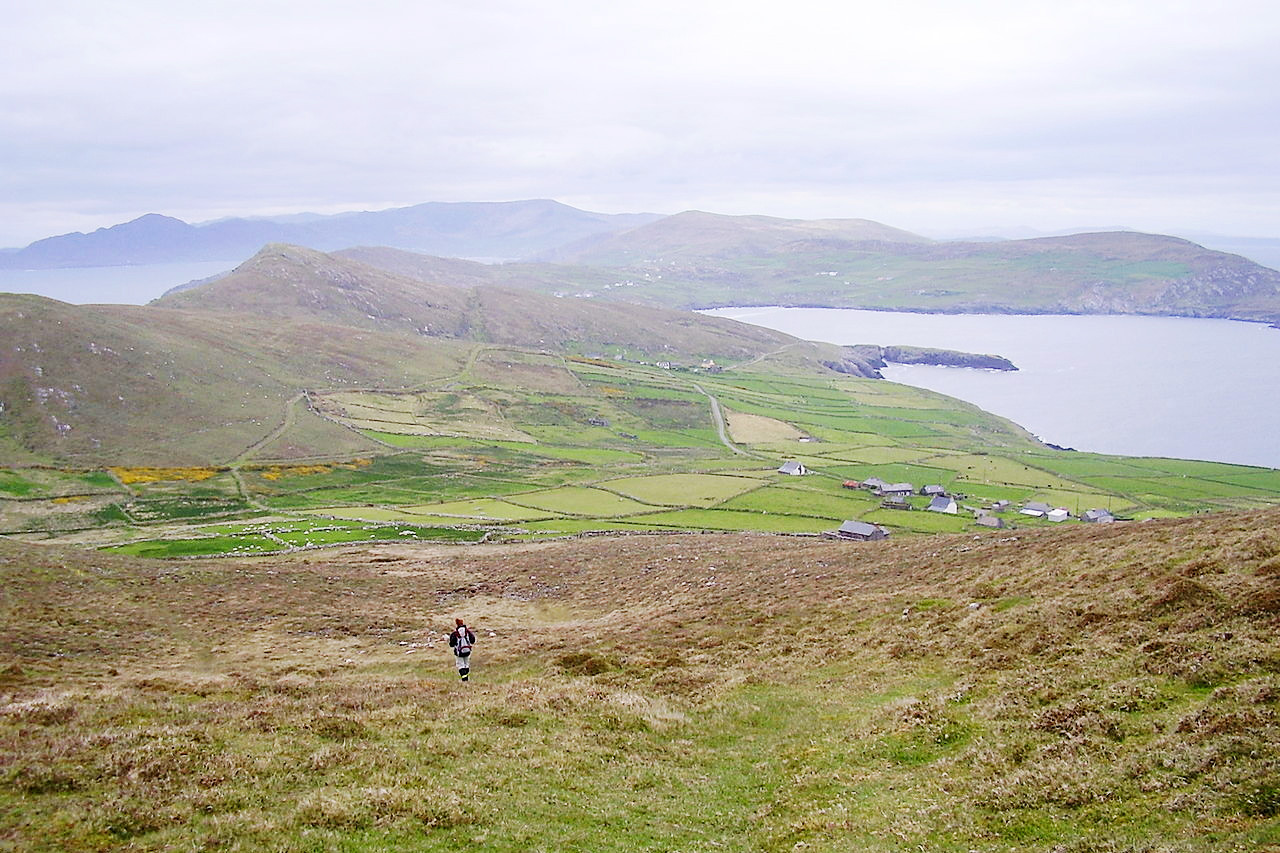
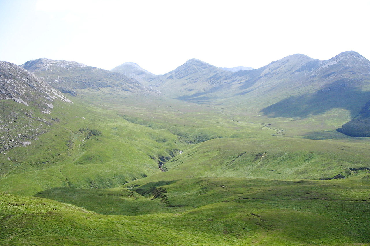
Kerry, with its combination of mountain, sea and plain, possesses some of the finest scenery of Europe. The whole of this coast is wild and beautiful, and may be compared with the west coast of Scotland and even that of Norway, though it has its own strong character. The part of the county south of Dingle Bay consists of mountains intersected by narrow valleys. In the northeast towards Killarney the hills rise abruptly into the ragged range of MacGillycuddy's Reeks, the highest summit of which, Carrauntoohil, has a height of 1,039 meters (3,407 feet).
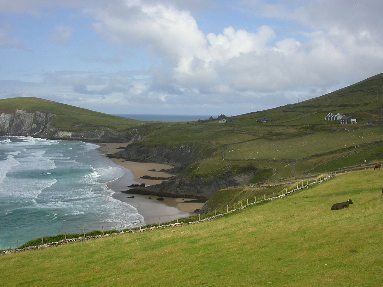
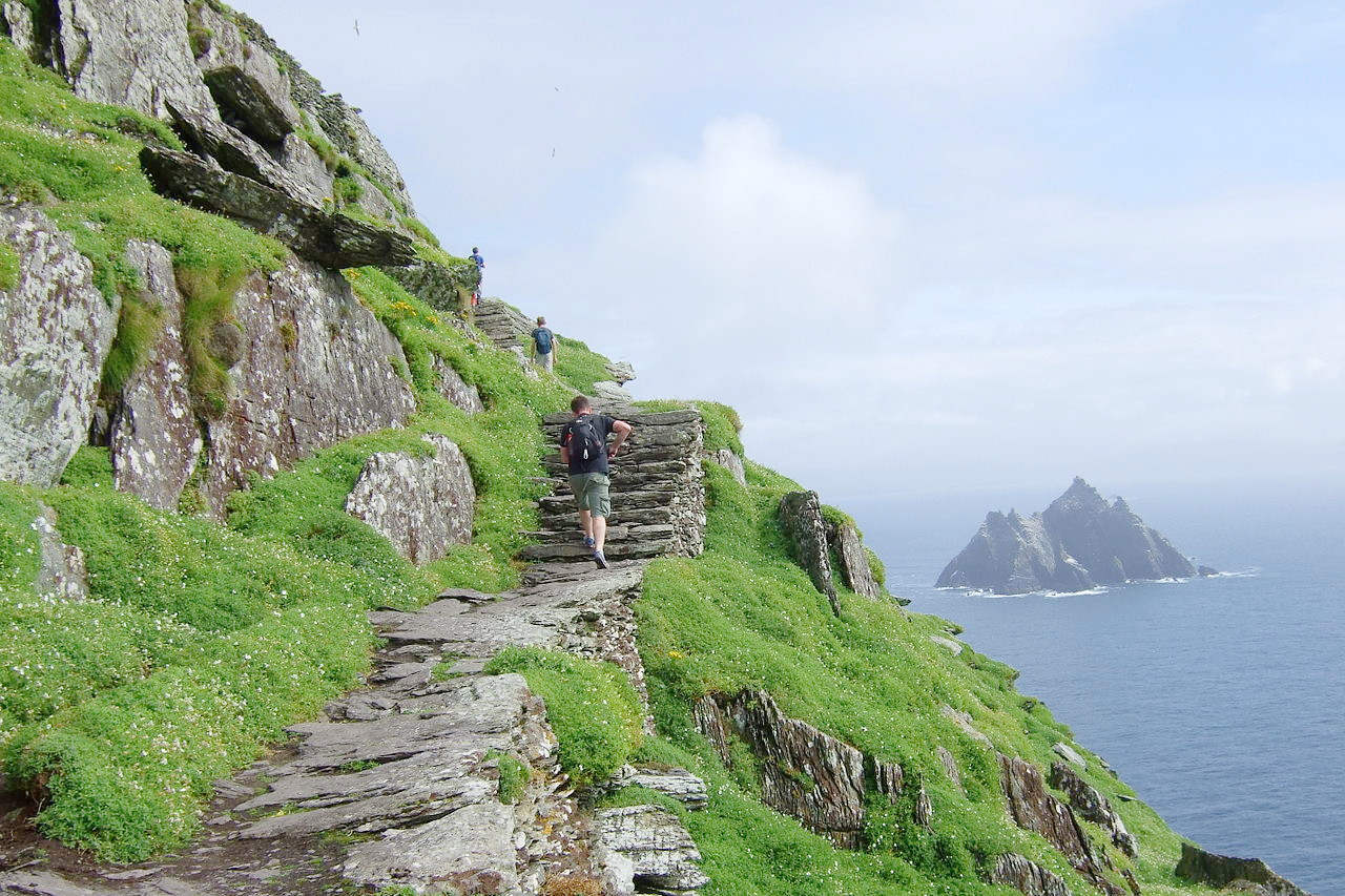
The sea-coast, for the most part wild and mountainous, is indented by inlets, the largest of which are Tralee Bay, Dingle Bay and Kenmare River. The extremity of the peninsula between Dingle Bay and Tralee Bay is very precipitous, and there are remarkable caves excavated by the sea. The principal islands include the Skellig Islands famous for birdlife and for the early Christian monastery on Skellig Michael.
What is the nature of Ireland like?
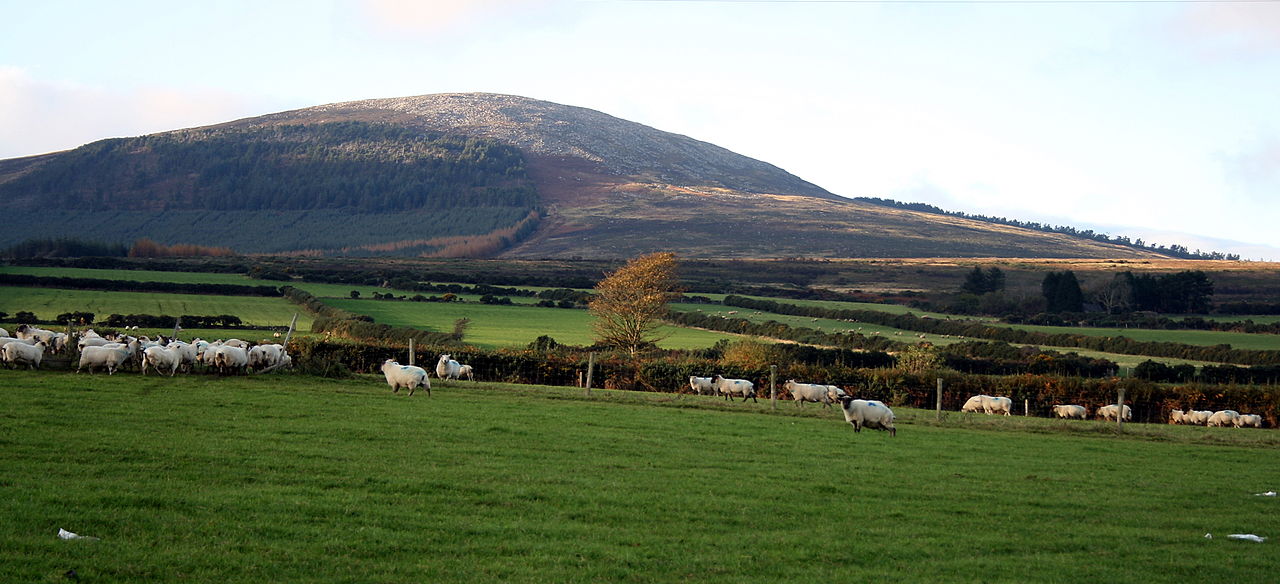
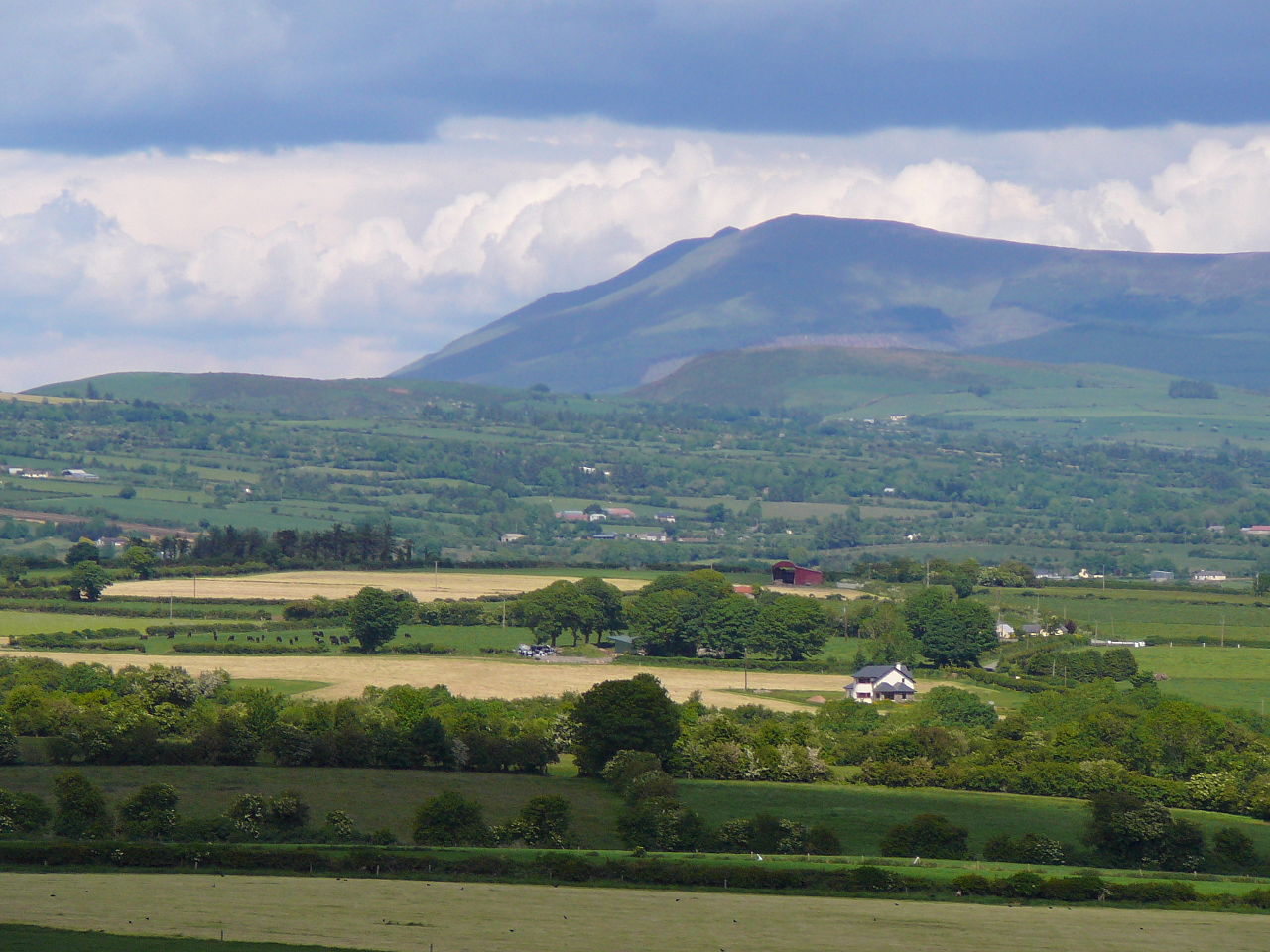
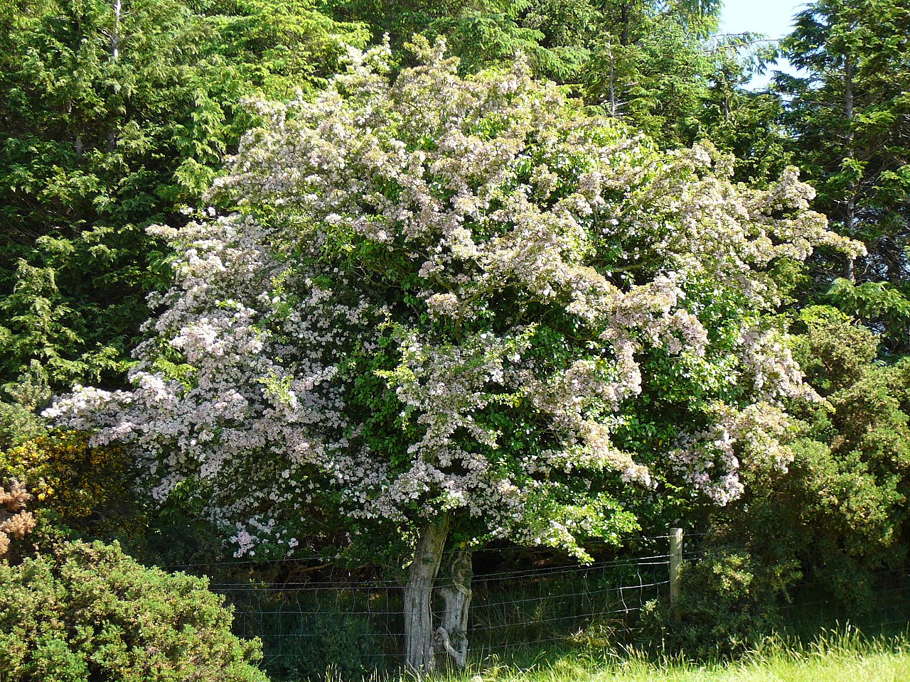
Ireland is the emerald gem of the western sea, and contains some of the finest scenery in Europe. The hills are green and wooded, the valleys are fertile, the coast is indented with bays, and lakes abound. The best scenery lies around the coast and the magnificent richness of the western seaboard. The regular rains mean that the whole country is fresh and bright with new life, and all the undulating hills are a vivid green. Grass grows luxuriantly in nearly all parts of the island, and forest trees retain their leaves long after similar trees have lost their leaves in the warmest parts of England. On the hills, beautiful specimens of ferns and trailing plants grow wherever there is a handful of soil, forming terraced gardens that drop to the valley below.
The most remarkable feature of Ireland is the great extent of wet land and peat bog. The bogs are estimated to cover about one-seventh of the country. A typical peat bog is around 6 meters (20 feet) deep; the color is either a light brown, a deep red, or a brownish black, according to depth and location. In the mountain sections it is a brown turf, often not more than 30 cm (12 inches) in thickness. Where there is a deep peat bog there was originally a forest of trees. Thus the lowest layer is a hard wood, called bog-wood, almost like coal.
What is the climate of Ireland like?
See our main article: The Climate of Ireland
The climate of Ireland is unusually mild in winter for its latitude, and there are no extremes of cold in winter or of heat in summer. The warming effect of the Atlantic makes the winter temperature rather higher than the northeast coast of America or northern parts of Europe, and the summer temperature is similarly lowered by a few degrees than inland places of the same latitude.
The moisture brought by the winds from the ocean causes a constant annual rainfall, with much fog and mist. In spring the rain makes the whole country fresh and bright with new life, and all the undulating hills are a vivid green. The summer months are sometimes wet, but even at its worst, the rains are mild and soft. There is however less rain than the Highlands of Scotland, and the country is always fresh and green, and has no sudden changes from heat to cold.
| Climate data for Dublin (1981–2010) | |||||||||||||
|---|---|---|---|---|---|---|---|---|---|---|---|---|---|
| Month | Jan | Feb | Mar | Apr | May | Jun | Jul | Aug | Sep | Oct | Nov | Dec | Year |
| Average high °C (°F) | 8.1 (46.6) | 8.3 (46.9) | 10.2 (50.4) | 12.1 (53.8) | 14.8 (58.6) | 17.6 (63.7) | 19.5 (67.1) | 19.2 (66.6) | 17.0 (62.6) | 13.6 (56.5) | 10.3 (50.5) | 8.3 (46.9) | 13.3 (55.9) |
| Daily mean °C (°F) | 5.3 (41.5) | 5.3 (41.5) | 6.8 (44.2) | 8.3 (46.9) | 10.9 (51.6) | 13.6 (56.5) | 15.6 (60.1) | 15.3 (59.5) | 13.4 (56.1) | 10.5 (50.9) | 7.4 (45.3) | 5.6 (42.1) | 9.8 (49.6) |
| Average low °C (°F) | 2.4 (36.3) | 2.3 (36.1) | 3.4 (38.1) | 4.6 (40.3) | 6.9 (44.4) | 9.6 (49.3) | 11.7 (53.1) | 11.5 (52.7) | 9.8 (49.6) | 7.3 (45.1) | 4.5 (40.1) | 2.8 (37.0) | 6.4 (43.5) |
| Average precipitation mm (inches) | 62.6 (2.46) | 48.8 (1.92) | 52.7 (2.07) | 54.1 (2.13) | 59.5 (2.34) | 66.7 (2.63) | 56.2 (2.21) | 73.3 (2.89) | 59.5 (2.34) | 79.0 (3.11) | 72.9 (2.87) | 72.7 (2.86) | 758.0 (29.84) |
| Source: Met Éireann | |||||||||||||
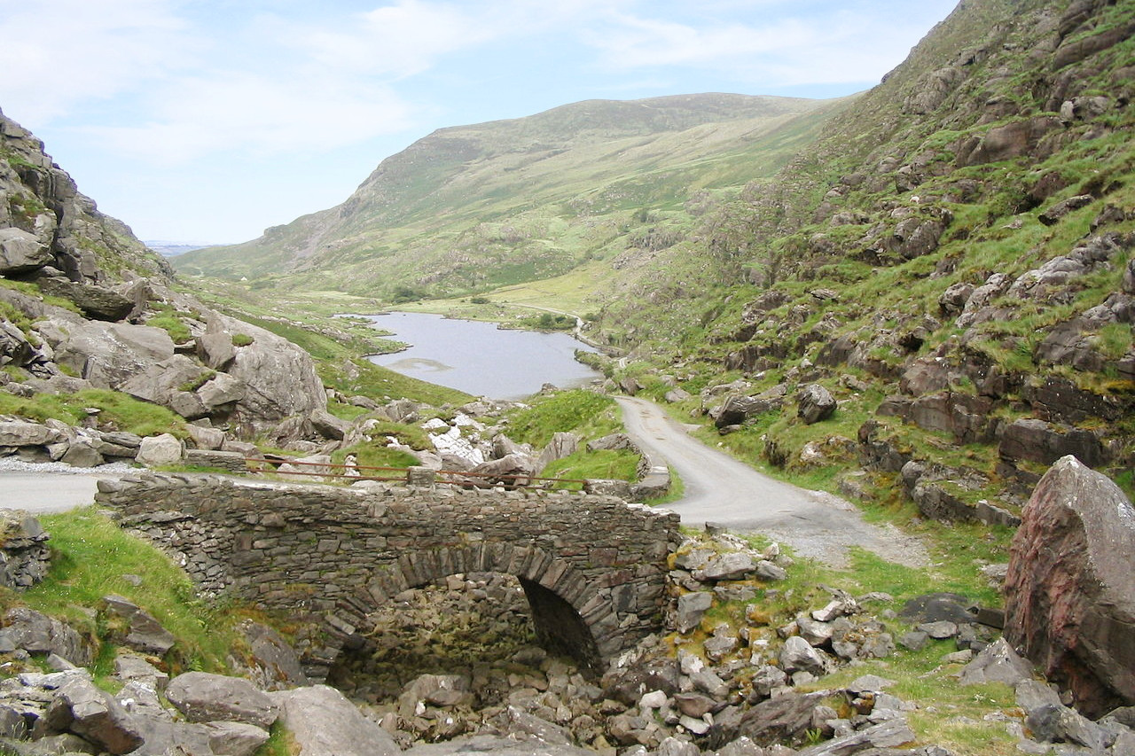
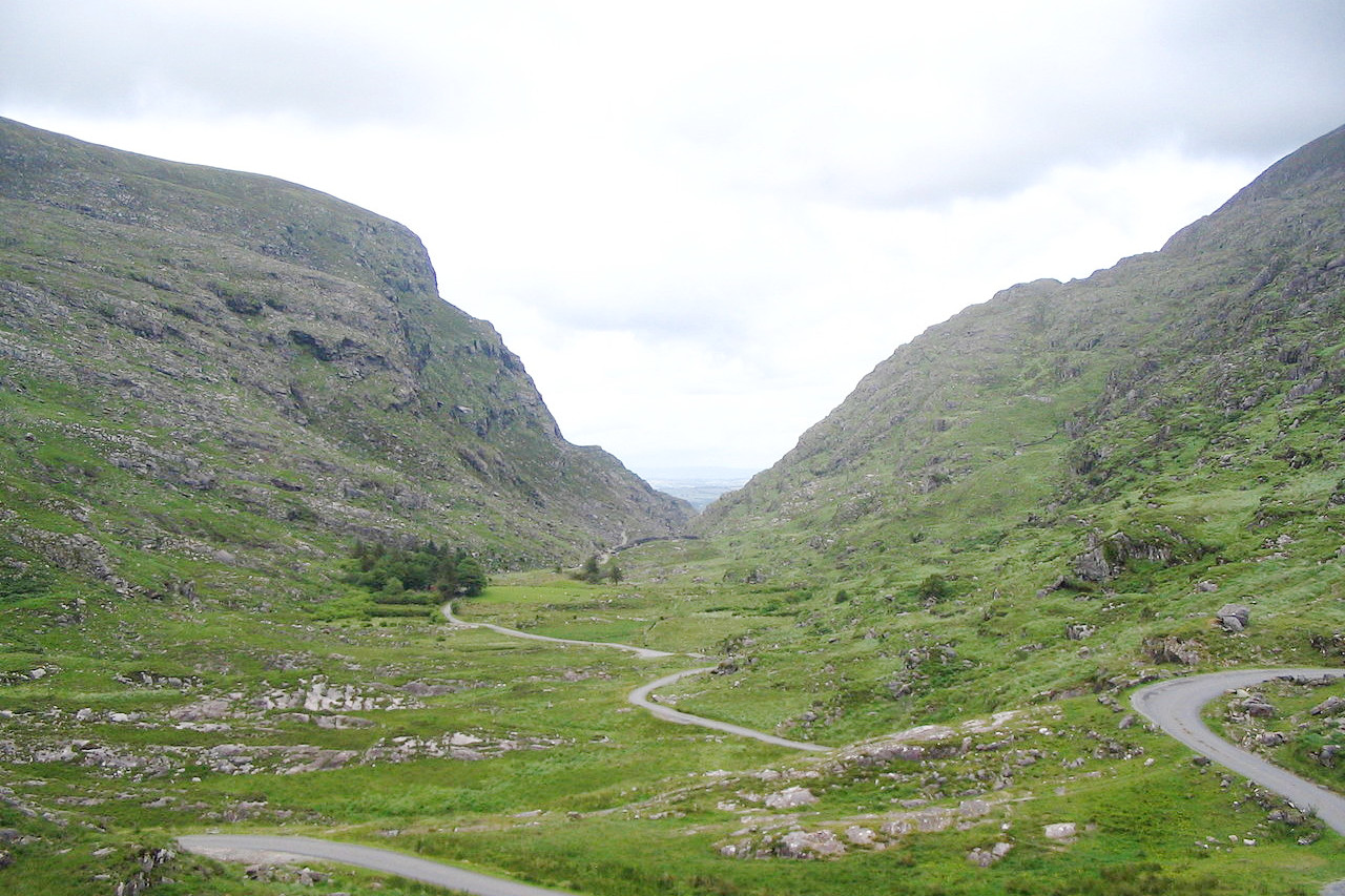 Gap of Dunloe, County Kerry
The official websites
Ireland
Jump into Ireland
| Location: | Western Europe in the North Atlantic Ocean, west of Great Britain |
| Coordinates: | 53° 00′ N, 8° 00′ W |
| Size: | • 485 km N-S; 275 km E-W • 300 miles N-S; 170 miles E-W |
| Terrain: | Mostly flat to rolling interior plain surrounded by rugged hills and low mountains; sea cliffs on the west coast |
| Climate: | Temperate maritime; modified by North Atlantic Current; mild winters, cool summers; consistently humid |
| Highest point: | Carrauntoohil 1,039 m / 3,408 ft |
| Forest: | 21% (2010 est.) (source) |
| Population: | 5,176,569 (July 2020 est.) |
| Population density: | Low (71/km²) |
| Capital: | Dublin |
| Languages: | English (official), Irish (Gaelic or Gaeilge) (official, mainly spoken in areas along Ireland's western coast) |
| Human Development Index: | Very high (0.955) |
| Currency: | Euro |