The Geography of
Scotland
Why visit Scotland?
Scotland is an amazing country with ancient roots and rich history. The rugged landscape, clear waters, rocky coasts and historic towns are some of the attractions that make this country so special. There is something for everyone in Scotland—from stunning scenery on Isle of Skye to relaxing nights by the fireside in Inverness. From Edinburgh's lively Old Town to charming towns like Ayrshire's Kilmarnock; there is always something new to discover in Scotland. The natural beauty, the overall culture and heritage of the country is incredibly fascinating.
Contents
Map
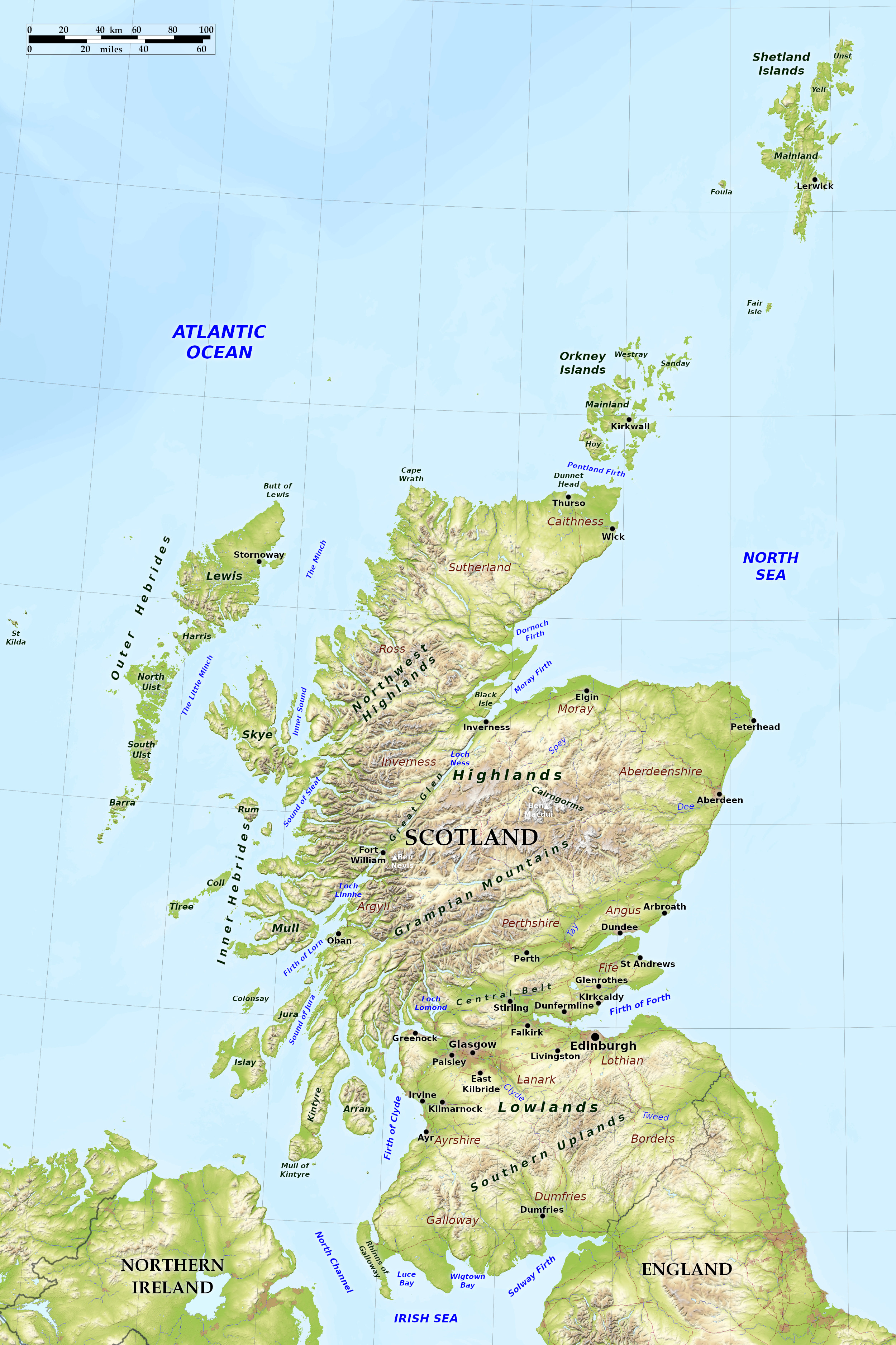 Relief map of Scotland
What is the landscape of Scotland like?
Scotland can be divided into three well-marked divisions:— (1) The Southern Uplands; (2) The Central Lowlands; (3) The Highlands including the islands of the northwest.
Southern Uplands
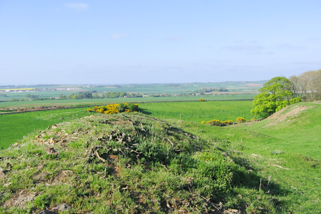
The Southern Uplands of Scotland is a region of mountains and hills, embracing fertile valleys. They not as high as the Highlands (their highest point is 843 m / 2,766 ft), but they still rise abruptly above the surrounding lowlands. They may be regarded as a rolling moorland traversed by many valleys which separate the moors into detached flat-topped hills. Where the bare rock appears it is usually in low crags from which long trails of grey or purple scree descend till they are lost among the grass.
Hence, besides being smooth, the uplands are remarkably green with pastureland. In Galloway, also, the highest portions of the Uplands have a ruggedness and wildness more like those of the Highlands than any other part of southern Scotland. The eastern lowlands of the River Tweed are more sheltered, drier, and sunny than the west—it is a region famous for its tradional "Tweed" woollen industry.
Central Lowlands
The Central Lowlands constitute a broad depression from southwest to northeast with a varying width of 30 to 60 miles. The Central Lowlands contain 80 percent of the population of Scotland although they occupy only 10 percent of the total area. On the north side of the Lowlands the Highland wall rises steeply forming a clear cut boundary. Running parallel to the edge of the Highlands are lines of volcanic hills extending from the isolated Castle Rock in Edinburgh through the Pentland Hills and the Haughshaw Hills. The Lowlands are drained by the three most important Scottish rivers: the Clyde, the Tay, and Forth.
Highlands and Islands
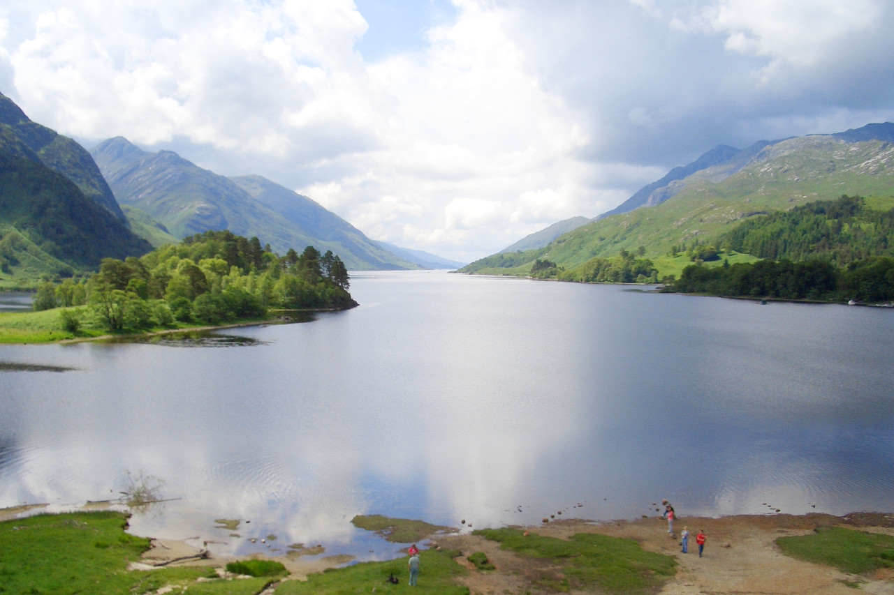
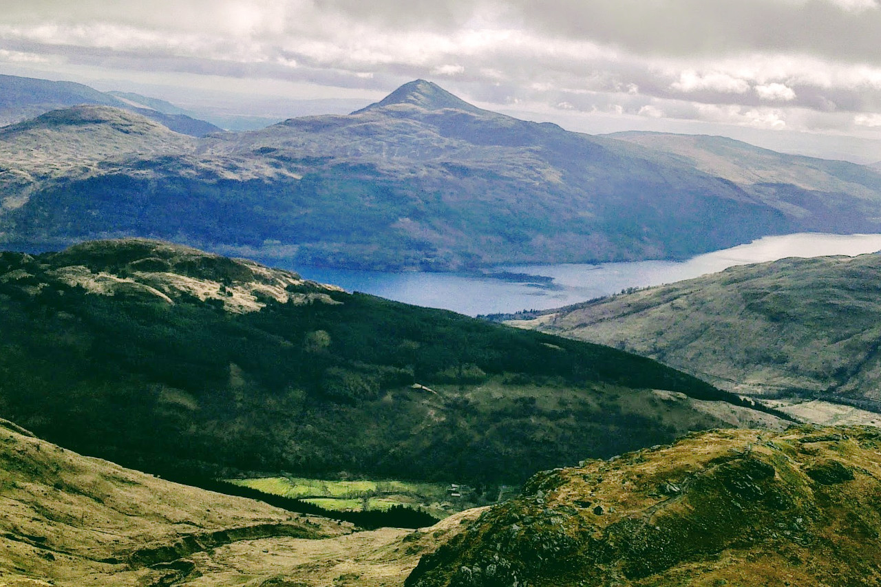
Scotland's most famous landscapes are found in the Highlands. Many of the long inlets—or firths—that punctuate Scotland's coastline are found in the north as are the famous lochs, the deep and beautifully narrow Scottish lakes. The true Highland zone is a plateau of ancient rocks which has been deeply eroded by ice and river action. The plateau is broken into two sections by the Great Glen Fault within which lies the famous Loch Ness. There are coastal plains to the east which offer a great contrast to the highland areas—being sheltered by the mountains to the west—hence the rainfall is lower and the sunshine is higher.
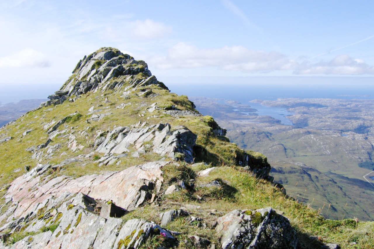
The Northwestern Highlands consist of upland moors and rocky outcrops. The highest peak in this region is Càrn Eige (1,183 m / 3,881 ft). The scenery is both beautiful and inspiring. To the south of the Great Glen are the Grampian mountains, higher and more deeply dissected than the Northwest Highlands. In the Grampians is the highest mountain in Scotland and the British Isles, Ben Nevis, at 1,345 metres (4,413 ft). Other well-known mountains are Ben Macdhui (1,309 m / 4,295 ft) and Cairn Gorm (1,245 m / 4,084 feet).
The west coast of the Highlands contains many fjords or sea lochs. There are hundreds of islands and islets which fall into two groups, (a) the Inner Hebrides, including the islands of Islay, Jura, Mull, Tiree, Coll and Skye, (b) the Outer Hebrides, including Harris and Lewis, North and South Uist, and Barra. The Outer Hebrides and the Inner Hebrides are separated by a sea channel known as the Minch. The combination of islands, sea lochs and narrow cliff-bordered sounds makes the entire western coast extremely beautiful.
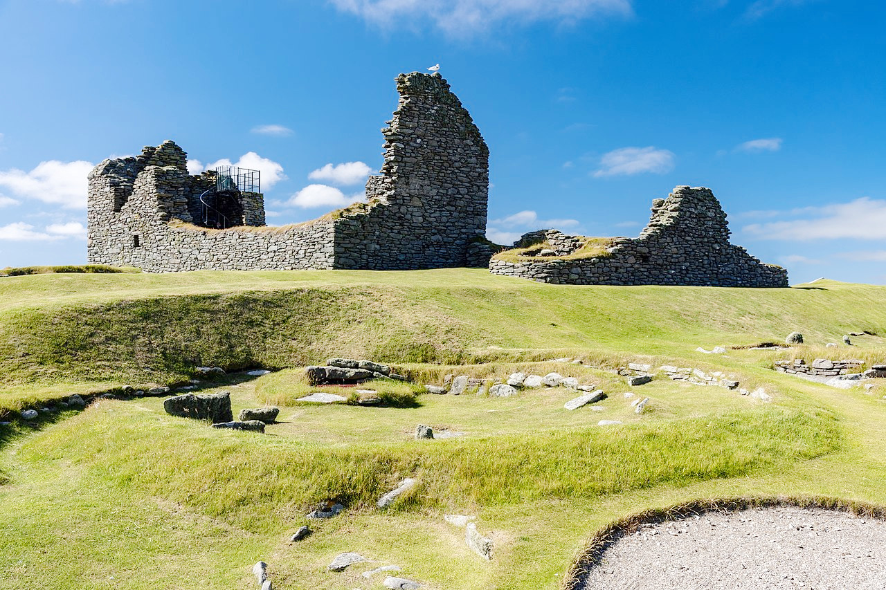
In the far north are the Orkney and Shetland island groups. Both archipelagoes are very irregular, being divided by straits generally called firths. The coast scenery is always picturesque, and often grand, with cliffs of brilliant colouring. Furthermore these islands are known for their Norse or Viking past being under the rule of Norse earls until the 13th century.
What is the nature of Scotland like?
Today the Highlands consist of heath, hilly undulating plains, and heather- and juniper-covered moors. However the modern appearance of the Highlands is the result of human activity over several millennia. Throughout Scoltand extensive reforestation projects are turning old sheep pastures into new forests of spruce and fir. The hills and rolling uplands are being replanted and reclaimed as natural reserves. The Lowlands, by contrast, is a region of low rolling hills and farmlands, as to a large extent are the Southern Uplands which contain rich soils.
In spite of the transformation of the Highlands from primeval forest to park landscape during the past two thousand years, a surprisingly large number of animal species is still found here. The wildcat has survived and even increased in number during recent years. Red deer, which once inhabited the woods, have successfully adapted themselves to the open moors. The pine marten, after being on the verge of extinction, is found there too. The capercaillie was exterminated, but was reintroduced and is now firmly established.
The mountain hare is abundant in many areas, and has likely been favored by the expansion of the moors. The prosperous population of golden eagles in Scotland is probably a consequence of the dense population of the mountain hare, as well as moorland game in general.
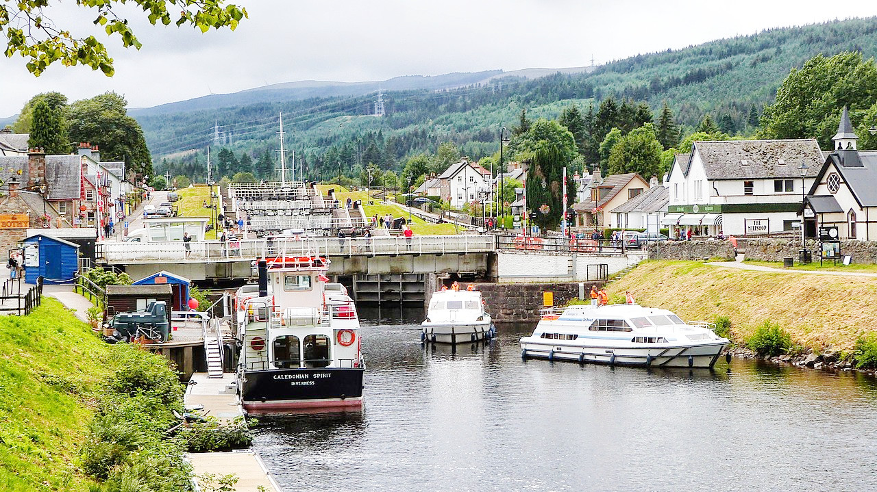 Caledonian Canal, Fort Augustus to Loch Ness
What is the climate of Scotland like?
See also our article: The Climate of the United Kingdom
Despite its position in the northern latitudes—between 54 and 60°N—Scotland’s climate is temperate. Scotland is rarely much colder than England, although summers are usually shorter and rather cooler. The temperature is lower in the west than in the east and inland places, but in winter it is the inland climates are the colder. Winters, although often cold, are seldom harsh.
The mountains being mostly in the west, face the rain-bringing winds from the Atlantic. Thus the climate of the west is essentially wet. On the other hand, the climate of the east is much drier. The east coast receives around 750 millimeters (30 inches) per year on average, whereas the west coast is around twice that amount.
| Climate data for Edinburgh (1991–2020) | |||||||||||||
|---|---|---|---|---|---|---|---|---|---|---|---|---|---|
| Month | Jan | Feb | Mar | Apr | May | Jun | Jul | Aug | Sep | Oct | Nov | Dec | Year |
| Average high °C (°F) | 7.3 (45.1) | 8.0 (46.4) | 9.7 (49.5) | 12.2 (54.0) | 14.9 (58.8) | 17.4 (63.3) | 19.3 (66.7) | 19.1 (66.4) | 16.9 (62.4) | 13.4 (56.1) | 9.9 (49.8) | 7.3 (45.1) | 13.0 (55.4) |
| Daily mean °C (°F) | 4.5 (40.1) | 4.8 (40.6) | 6.3 (43.3) | 8.4 (47.1) | 11.0 (51.8) | 13.7 (56.7) | 15.4 (59.7) | 15.3 (59.5) | 13.3 (55.9) | 10.0 (50.0) | 6.8 (44.2) | 4.5 (40.1) | 9.5 (49.1) |
| Average low °C (°F) | 1.7 (35.1) | 1.7 (35.1) | 2.9 (37.2) | 4.7 (40.5) | 7.1 (44.8) | 9.9 (49.8) | 11.6 (52.9) | 11.5 (52.7) | 9.7 (49.5) | 6.7 (44.1) | 3.8 (38.8) | 1.6 (34.9) | 6.1 (43.0) |
| Average precipitation mm (inches) | 64.7 (2.55) | 53.1 (2.09) | 48.5 (1.91) | 40.8 (1.61) | 47.6 (1.87) | 66.2 (2.61) | 72.1 (2.84) | 71.6 (2.82) | 54.9 (2.16) | 75.7 (2.98) | 65.3 (2.57) | 67.4 (2.65) | 727.7 (28.65) |
| Source: Met Office | |||||||||||||
.jpg) Sumbergh Head, Shetland Islands
Sumbergh Head, Shetland Islands
The official websites
Scotland
A spirit of its own
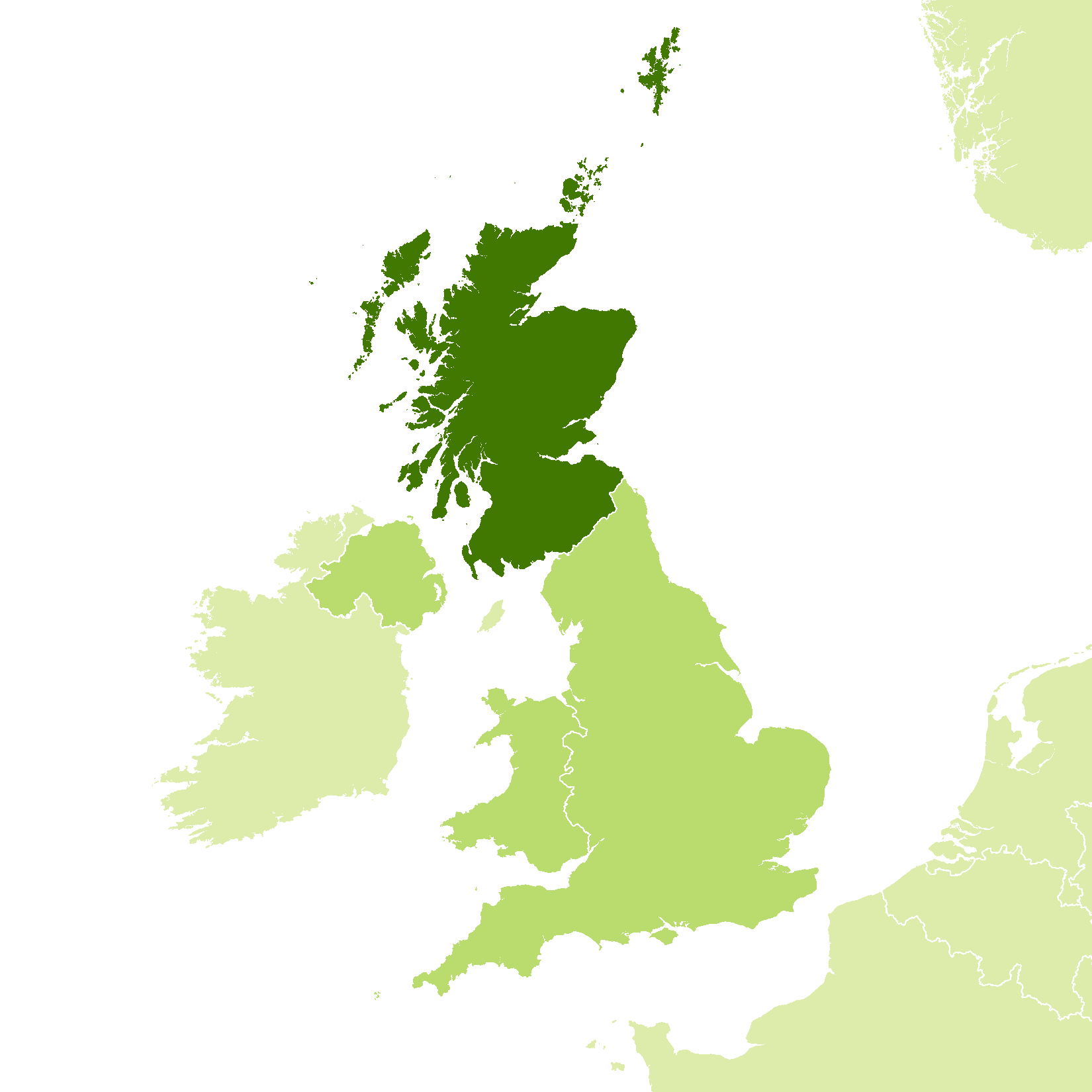
| Location: | Northern Britain |
| Coordinates: | 57° 00′ N, 4° 00′ W |
| Size: | • 695 km N-S; 410 km E-W • 430 miles N-S; 250 miles E-W |
| Terrain: | Hilly landscape with a central lowland belt; rising to low mountains in the north |
| Climate: | Maritime climate with cool summers and winters; year-round rainfall |
| Highest point: | Ben Nevis 1,345 m / 4,413 ft |
| Forest: | 27% (2010 est.) (source) |
| Population: | 5,463,300 (2019) |
| Population density: | Medium (68/km²) |
| Capital: | Edinburgh |
| Languages: | English; Scots; Scots Gaelic |
| Human Development Index: | Very High (0.925) |
