The Geography of
Sardinia
Why visit Sardinia?
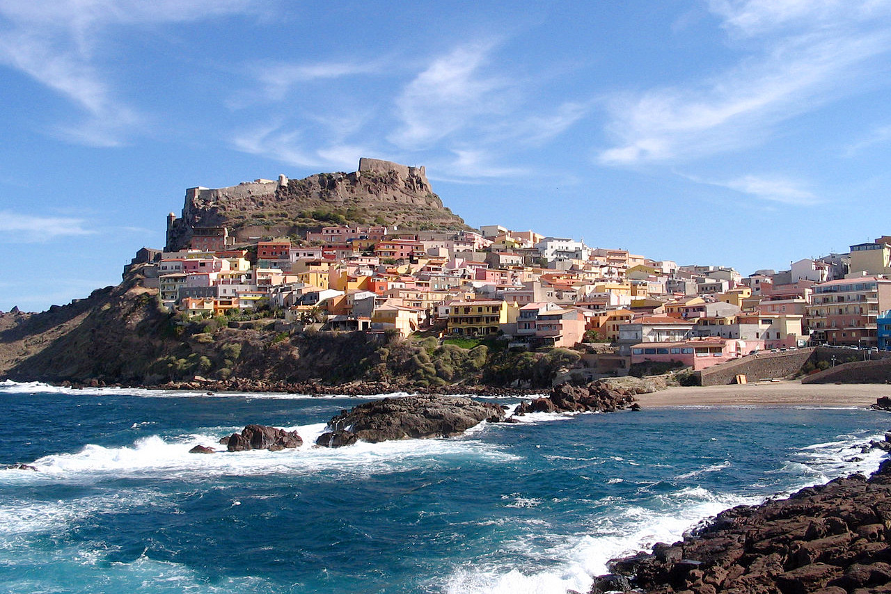
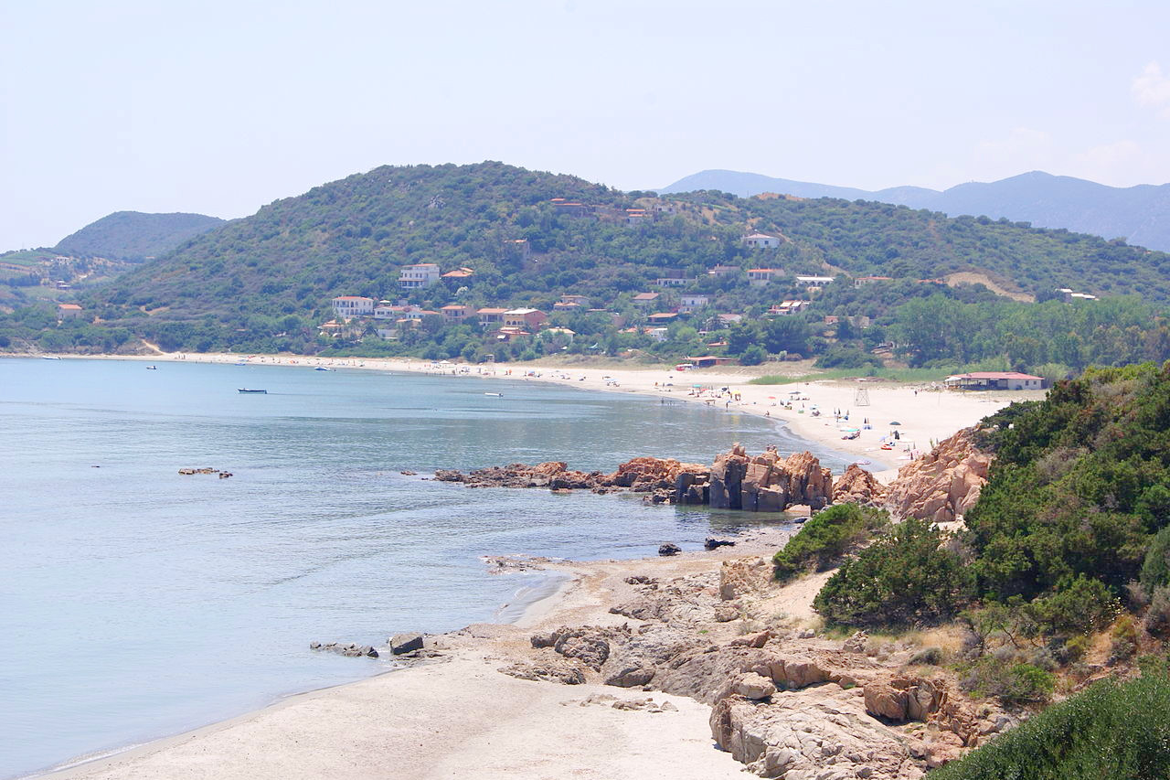
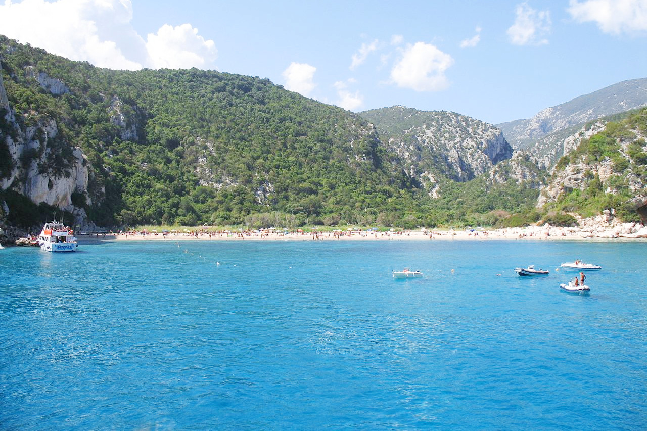
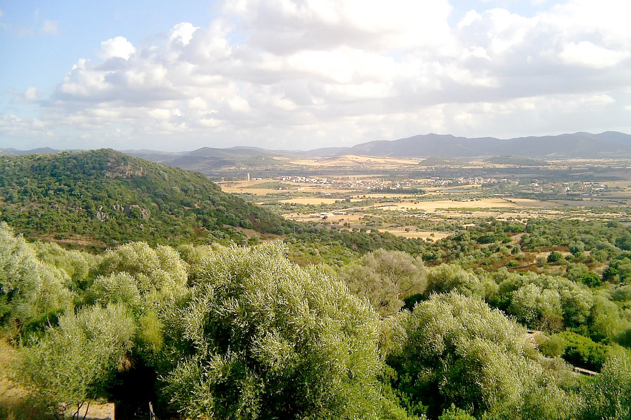
Sardinia, Italy's second largest island, is much more sparsely populated than Sicily. The island is dramatically beautiful with savage mountains, extinct volcanoes, wild uplands, and villages clinging to cliffs overlooking the most glorious blue sea.
Contents
Map
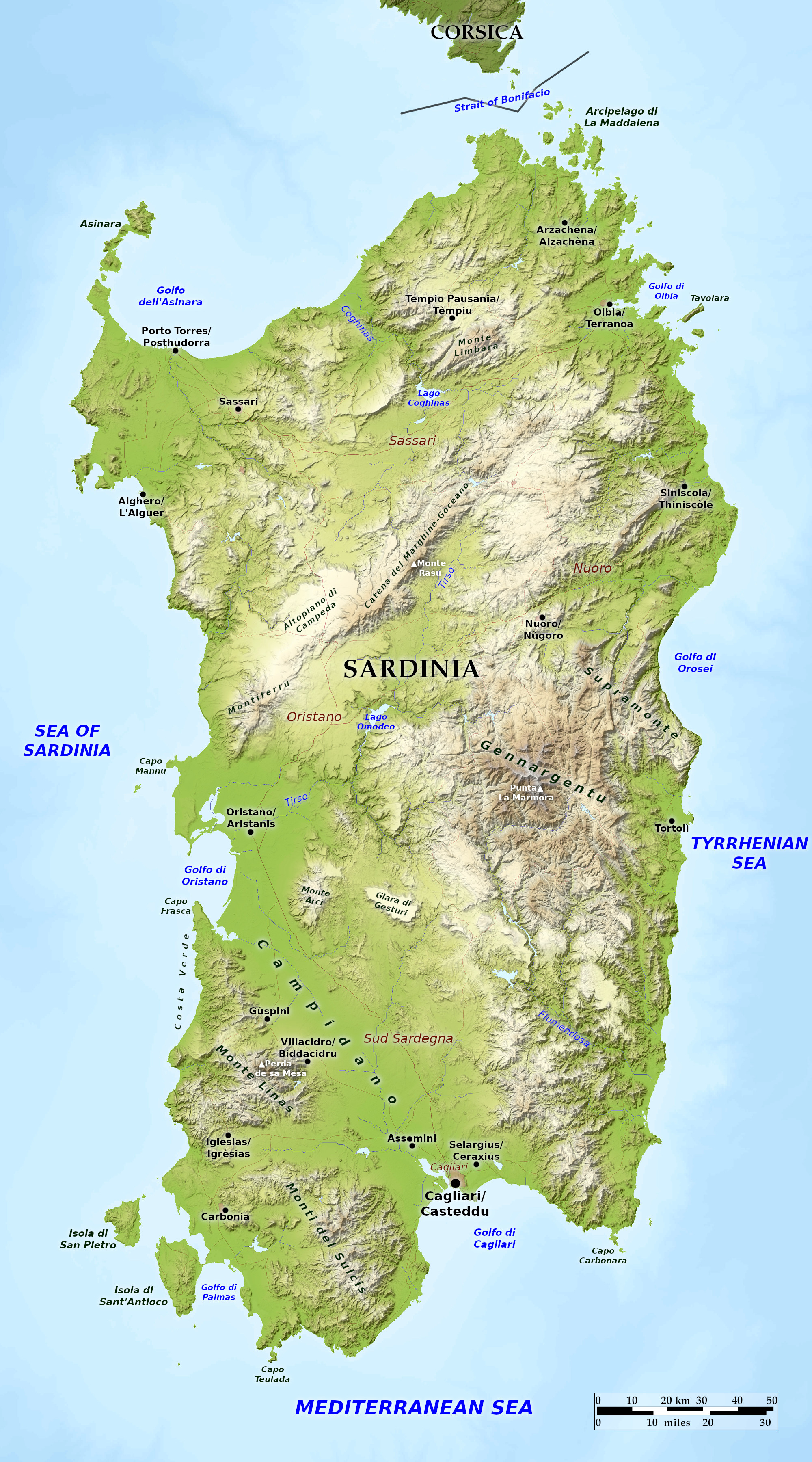 Relief map of Sardinia
What is the landscape of Sardinia like?
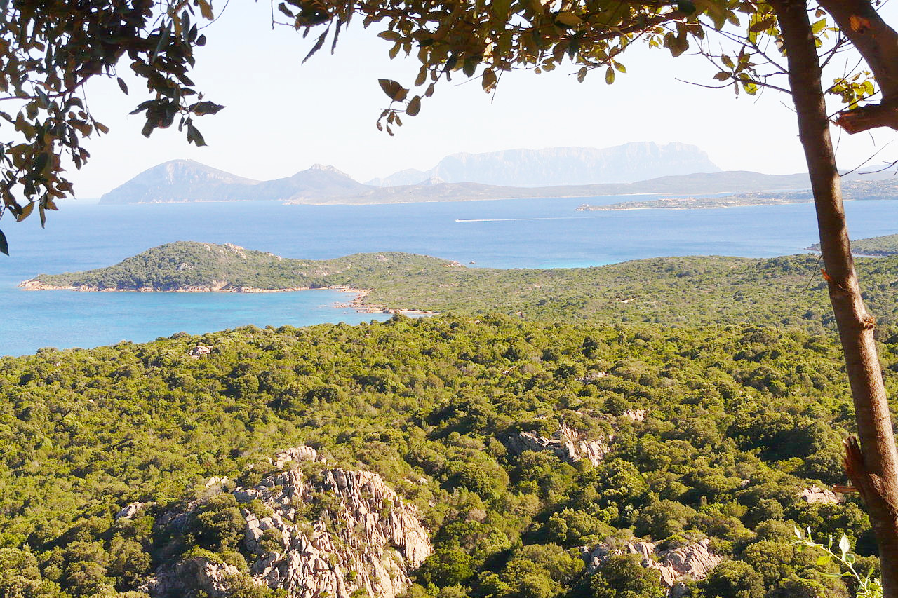
Sardinia (Sardegna) is the second largest island in the Mediterranean. A number of smaller islands surround it: Asinara and the Maddalena Archipelago are both protected as national parks. Sardinia lies west of the Italy and the Strait of Bonifacio separates it from the French island of Corsica to the north.
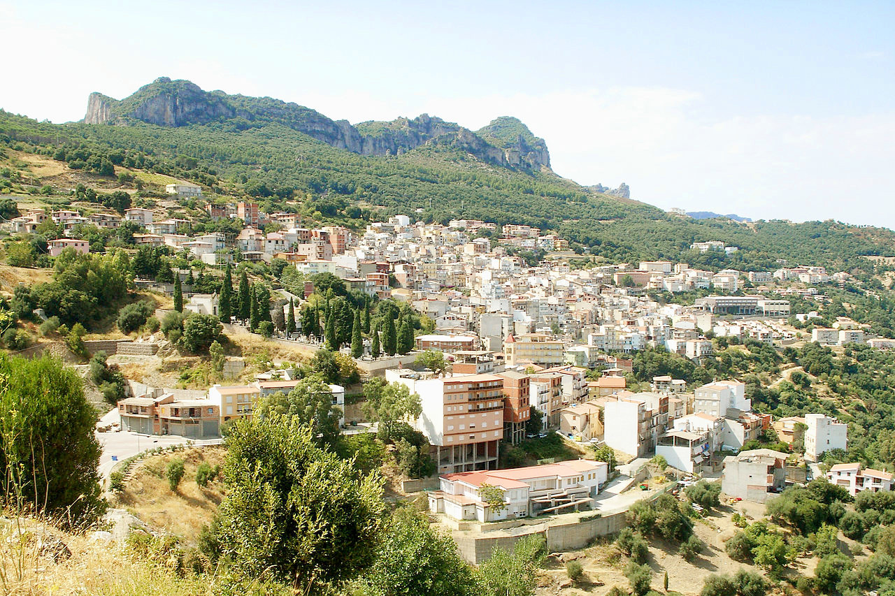
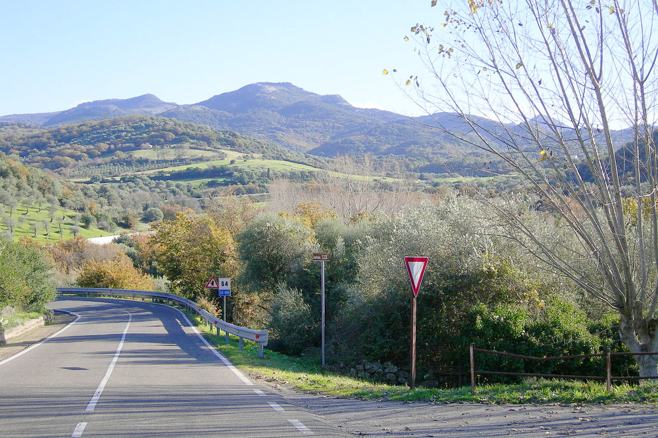
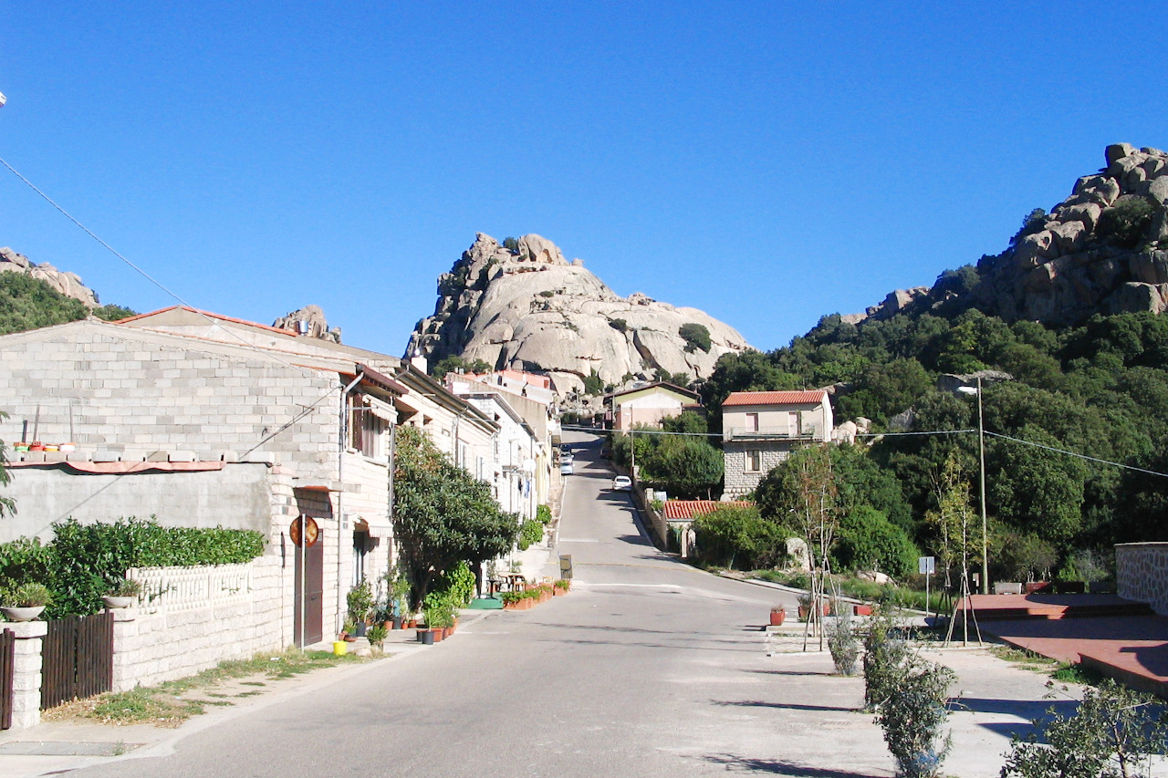
Sardinia is mostly rugged: two-thirds the island is classified as hilly and another fourteen percent as mountainous. The tallest peak is Punta La Marmora (1,834 m or 6,017 feet) in the Gennargentu range (a spendid National Park). The island has many underground rivers, karsts, and mineral springs. Sardinia’s longest stretch of flatland is the Campidano, which cuts diagonally across the southern half of the island from the Gulf of Cagliari to the Gulf of Oristano.
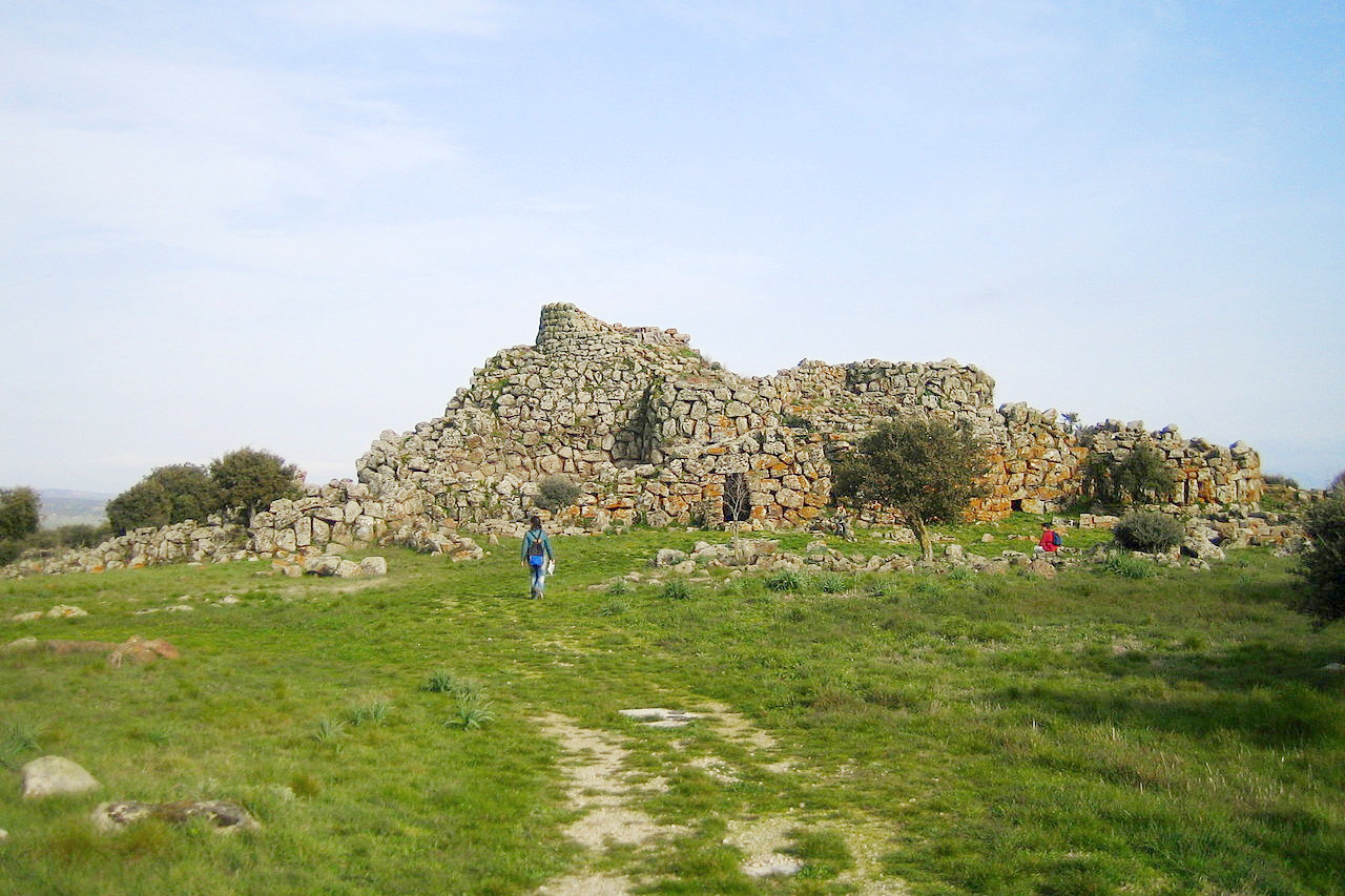
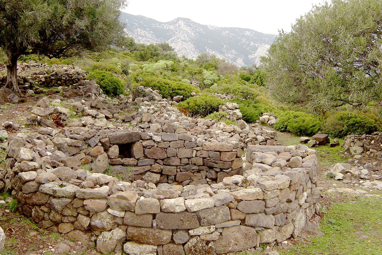
Sardinia abounds more than any other country of Western Europe in prehistoric remains. Thousands of peculiar structures called nuraghe are scattered through the island. They generally occupy the hilltops, and resemble truncated cones around 15 meters (50 feet) high and 30 meters (100 feet) wide at the base. They are constructed of large stones erected without mortar. Other smaller cones are frequently found around the principal nuraghe.
Scattered throughout the length of the entire island and not unlike the nuraghe in appearance are a number of groups of circular dwellings of stone measuring from 4 to 8 meters (13 to 26 feet) in diameter. Their proximity to each other would suggest that they had once formed part of villages. They are not often met with in the north-eastern extremity, but in the middle of the island they are very frequent. Close to each of these buildings was a "giant's tomb"; a vaulted chamber of about thirty or forty feet in length, with sides of rough masonry and a roof formed by a superimposed slab.
What is the nature of Sardinia like?
The vegetation of Sardinia is a Mediterranean one but with its own peculiarities. Sardinia is the Italian region with the largest forest area, partly as a result of 20th-century reforestation efforts. In the lowlands the forests consist of Mediterranean 'maquis' and evergreen forest. In the hills the prevailing tree species is holm oak, accompanied and partly replaced by downy oak in colder parts and cork oak in the warmer ones. In the colder parts there are also relicts of an ancient flora: yew, holly, maple. At altitude steppes develop similar to an alpine vegetation. Shrubs and flowers populate coastal ponds, sandy shorelines and cliffs.
What is the climate of Sardinia like?
Sardinia has a typical Mediterranean climate. Along the coastal areas, winters are mild while summers are hot and humid, but with strong sea breeze which alleviate the heat of summer. In the inland flat and hilly areas there are lower winter and higher summer temperatures. The climate is on the whole quite mild, but winter temperatures can sometimes drop below freezing, whereas and summer highs can reach 40°C (104°F). On the mountains there are winter snows, while in the summer season the climate remains cool and is rarely hot.
| Climate data for Cagliari (1971-2000) | |||||||||||||
|---|---|---|---|---|---|---|---|---|---|---|---|---|---|
| Month | Jan | Feb | Mar | Apr | May | Jun | Jul | Aug | Sep | Oct | Nov | Dec | Year |
| Average high °C (°F) | 14.3 (57.7) | 14.8 (58.6) | 16.5 (61.7) | 18.6 (65.5) | 22.9 (73.2) | 27.3 (81.1) | 30.4 (86.7) | 30.8 (87.4) | 27.4 (81.3) | 23.1 (73.6) | 18.3 (64.9) | 15.4 (59.7) | 21.7 (71.1) |
| Daily mean °C (°F) | 9.9 (49.8) | 10.3 (50.5) | 11.8 (53.2) | 13.8 (56.8) | 17.7 (63.9) | 21.8 (71.2) | 24.7 (76.5) | 25.2 (77.4) | 22.3 (72.1) | 18.4 (65.1) | 13.8 (56.8) | 11.0 (51.8) | 16.7 (62.1) |
| Average low °C (°F) | 5.5 (41.9) | 5.8 (42.4) | 7.1 (44.8) | 8.9 (48.0) | 12.4 (54.3) | 16.2 (61.2) | 18.9 (66.0) | 19.6 (67.3) | 17.1 (62.8) | 13.7 (56.7) | 9.3 (48.7) | 6.6 (43.9) | 11.8 (53.2) |
| Average precipitation mm (inches) | 49.7 (1.96) | 53.3 (2.10) | 40.4 (1.59) | 39.7 (1.56) | 26.1 (1.03) | 11.9 (0.47) | 4.1 (0.16) | 7.5 (0.30) | 34.9 (1.37) | 52.6 (2.07) | 58.4 (2.30) | 48.9 (1.93) | 428 (16.9) |
| Source: Servizio Meteorologico | |||||||||||||
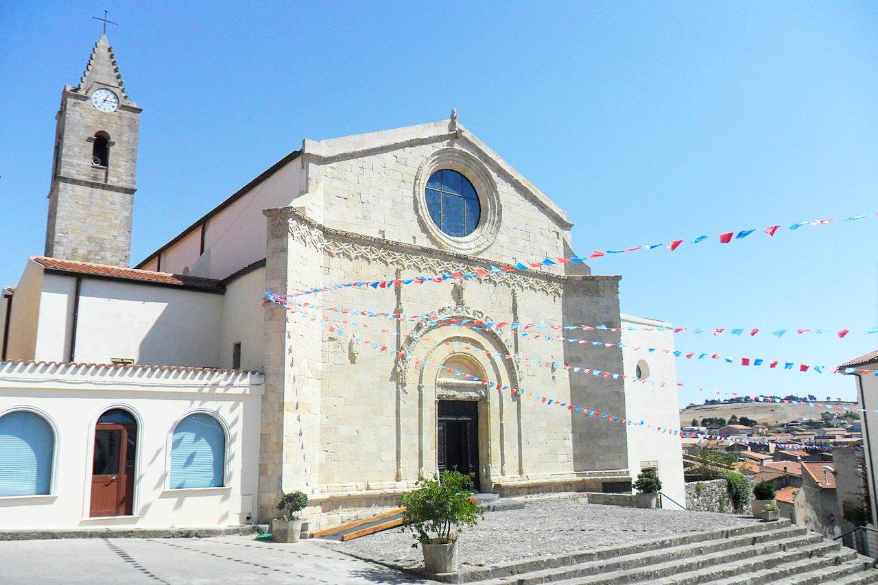 Chiesa di San Giorgio, in Pozzomaggiore
The official websites
Sardegna
Almost a continent
| Location: | In the Mediterranean Sea, west of Italy |
| Coordinates: | 40° 00′ N, 9° 00′ E |
| Size: | • 265 km N-S; 145 km E-W • 165 miles N-S; 90 miles E-W |
| Terrain: | A rugged island of hills and mountains with some plains in the west and southwest |
| Climate: | Hot and dry summers with sea breezes. Mild winters |
| Highest point: | Punta La Marmora 1,834 m / 6,017 feet |
| Forest: | 34% (2020) |
| Population: | 1,628,384 (2020) |
| Population density: | Low (69/km²) |
| Capital: | Cagliari |
| Languages: | Italian; Sardinian |
| Human Development Index: | Very High (0.868) |