.jpg)
The Geography of
Tuscany
Why visit Toscana?
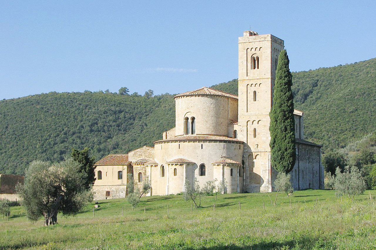
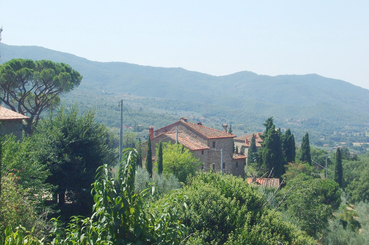
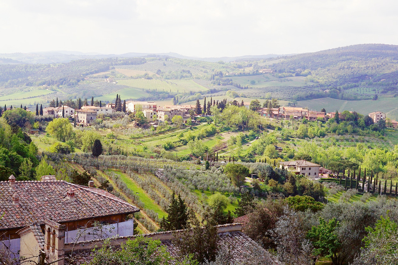
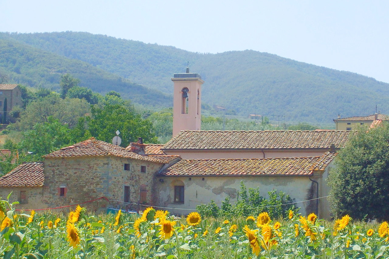
Tuscany is a region of great beauty and fertility. It consists of valleys and rounded hills, where nearly every height is surmounted by the ruins of a medieval castle; graceful villas are scattered over the verdant slopes, farmhouses stand in the midst of vineyards and pointed cypresses, and every cultivable spot is made to yield a rich harvest.
Contents
Map
 Relief map of Tuscany
What is the landscape of Tuscany like?
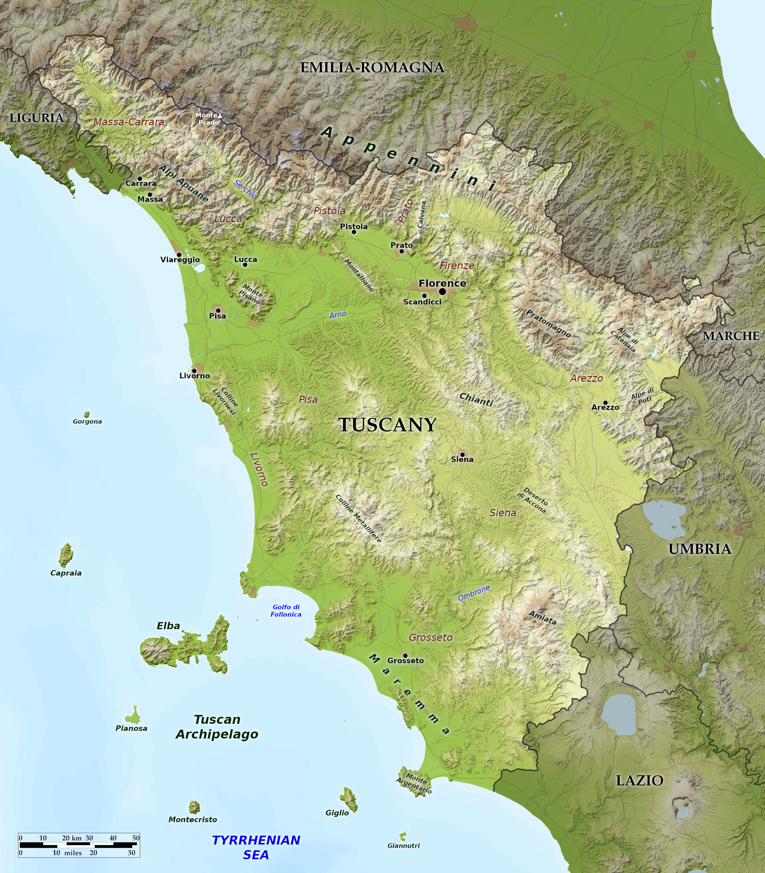
Tuscany (Italian: Toscana) is a roughly triangular region on the west coast of Italy which faces the Ligurian and the Tyrrhenian seas. Its northwest tip touches Liguria. Its entire northeast border is marked by the Apennine mountains, which constitute one quarter of the region. The highest peaks are in the north, and are quite Alpine in their aspect, culminating at Monte Prado at 2,054 meters (6,739 feet).
Hills constitute another two-thirds of the region, and Tuscany's farmlands can be found in the fertile valleys. Gentle ranges of hills can be found throughout the south of Tuscany and along the southeast border with Umbria and Lazio. The Tiber flows through Tuscany from Emilia Romagna, but the region's most important river is the Arno, which rises inthe Apennines, loops south near Arezzo, then up through Florence and west toward Pisa and the sea.
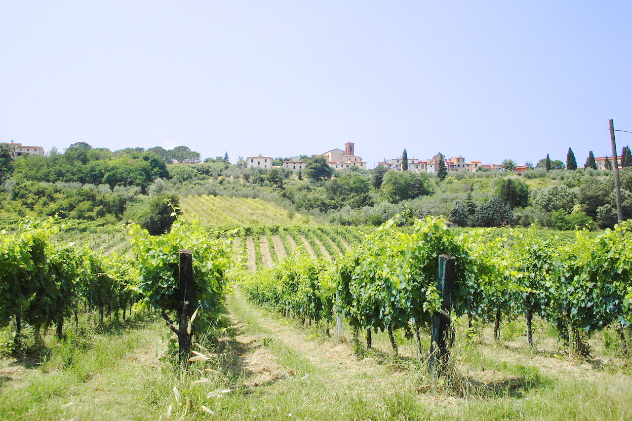
The most fertile country in Tuscany is in the valley of the Arno, where the plains and slopes of the hills are used for olives and grapes (especially the red wine from Chianti southwest of Florence). Tuscany is thus one of the most favoured regions of Italy—the climate is temperate, and the rainfall moderate. The Apennines shelter it from the cold north winds, and the prevailing winds in the west, blowing in from the Tyrrhenian Sea, are warm and humid. The fertility of the soil, an abundance of running water, and the sweetness of the climate all combine in making Central Tuscany one of the most privileged regions of Italy.
Elba
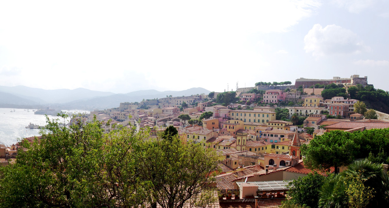
Off the coast of Tuscany can be found Elba and several smaller islands, which contribute greatly towards the beauty of the Tuscan coast. Elba, once the miniature kingdom of Napoleon, is larger than all the other islands together. Elba rises above the blue waters of the Tyrrhenian Sea as a picturesque group of mountains. The granitic heights of Monte Capanne, the eastern extremity of the island, attain an altitude of 1,019 meters (3,343 feet), and the centre of the island is occupied by hills of various shapes covered with brushwood.
What is the nature of Tuscany like?
.jpg&oldid=482134525)
.jpg&oldid=465444631)
.JPG&oldid=24286303)
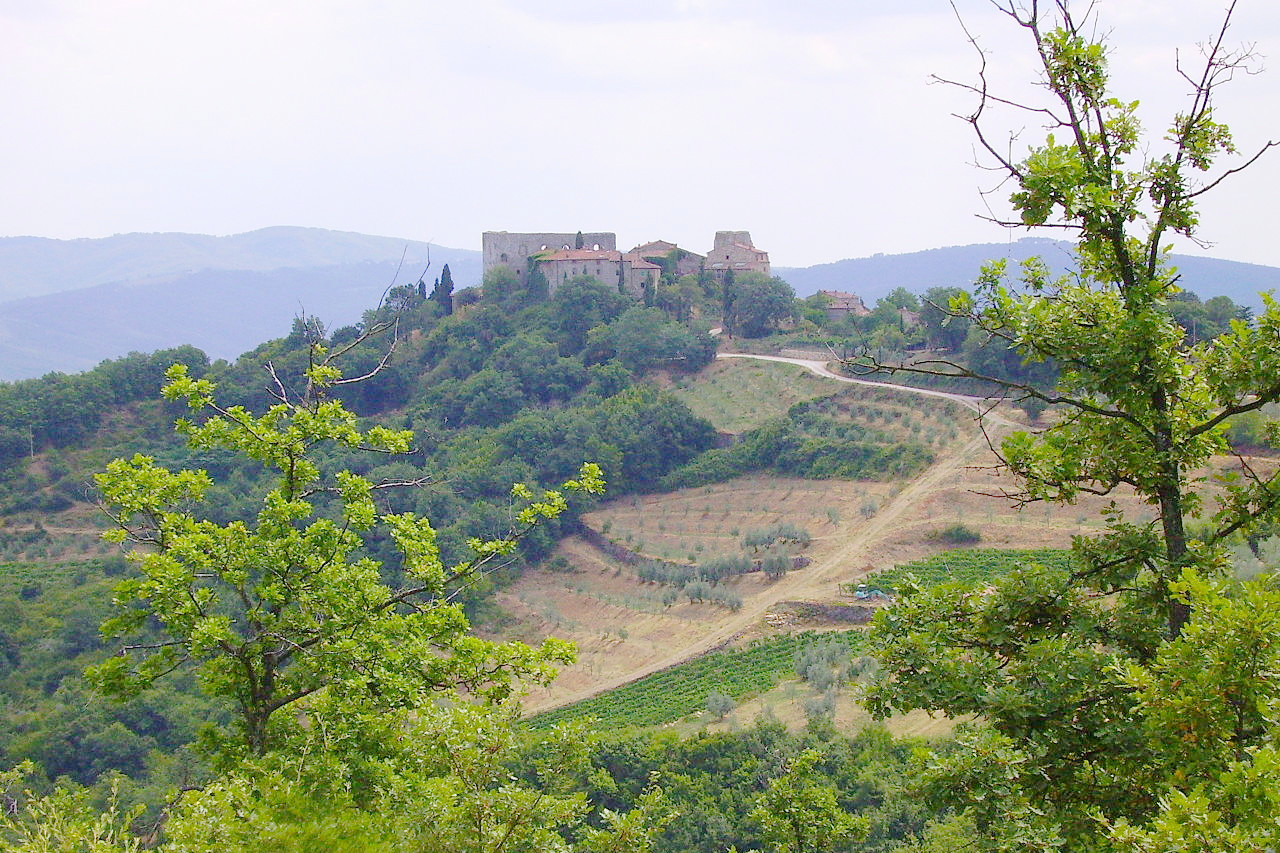
Tuscany is known for its hilly landscape, which is especially characterized by its many pine trees, Mediterranean cypresses, olive trees and grapevines. Tuscany is heavily forested and woodlands take up nearly half its area. Protected areas cover almost 10% of the Tuscan territory. Three Italian national parks are located in the region, one of which, the National Park of the Tuscan Archipelago, is entirely within Tuscan territory. In the south there is a large natural reserve, the Parco naturale della Maremma, with rare flora and fauna.
What is the climate of Tuscany like?
Tuscany has a Mediterranean climate. The four seasons follow one another in a marked way, characterized by hot, dry summers and fairly mild winters, but there are significant variations between the coast, with its milder climate, and the colder inland areas.
Rain is abundant close to the Apennine mountains; whereas the coastal strip in the south is fairly arid. Snowfall is common in the winter on the Apennine mountains as well on the top of Monte Amiata in the south. Snow can also reach the surrounding hills but rarely reaches the plains or the coast.
| Climate data for Florence | |||||||||||||
|---|---|---|---|---|---|---|---|---|---|---|---|---|---|
| Month | Jan | Feb | Mar | Apr | May | Jun | Jul | Aug | Sep | Oct | Nov | Dec | Year |
| Average high °C (°F) | 10.1 (50.2) | 12.5 (54.5) | 15.7 (60.3) | 18.5 (65.3) | 23.7 (74.7) | 27.7 (81.9) | 31.4 (88.5) | 31.5 (88.7) | 26.7 (80.1) | 20.9 (69.6) | 14.7 (58.5) | 11.1 (52.0) | 20.4 (68.7) |
| Daily mean °C (°F) | 5.7 (42.3) | 7.5 (45.5) | 10.3 (50.5) | 13.0 (55.4) | 17.7 (63.9) | 21.4 (70.5) | 24.6 (76.3) | 24.6 (76.3) | 20.5 (68.9) | 15.5 (59.9) | 9.9 (49.8) | 6.8 (44.2) | 14.8 (58.6) |
| Average low °C (°F) | 1.4 (34.5) | 2.5 (36.5) | 4.9 (40.8) | 7.5 (45.5) | 11.6 (52.9) | 15.0 (59.0) | 17.7 (63.9) | 17.7 (63.9) | 14.4 (57.9) | 10.1 (50.2) | 5.1 (41.2) | 2.6 (36.7) | 9.2 (48.6) |
| Average precipitation mm (inches) | 60.5 (2.38) | 63.7 (2.51) | 63.5 (2.50) | 86.4 (3.40) | 70.0 (2.76) | 57.1 (2.25) | 36.7 (1.44) | 56.0 (2.20) | 79.6 (3.13) | 104.2 (4.10) | 113.6 (4.47) | 81.3 (3.20) | 872.6 (34.34) |
| Source: Servizio Meteorologico | |||||||||||||
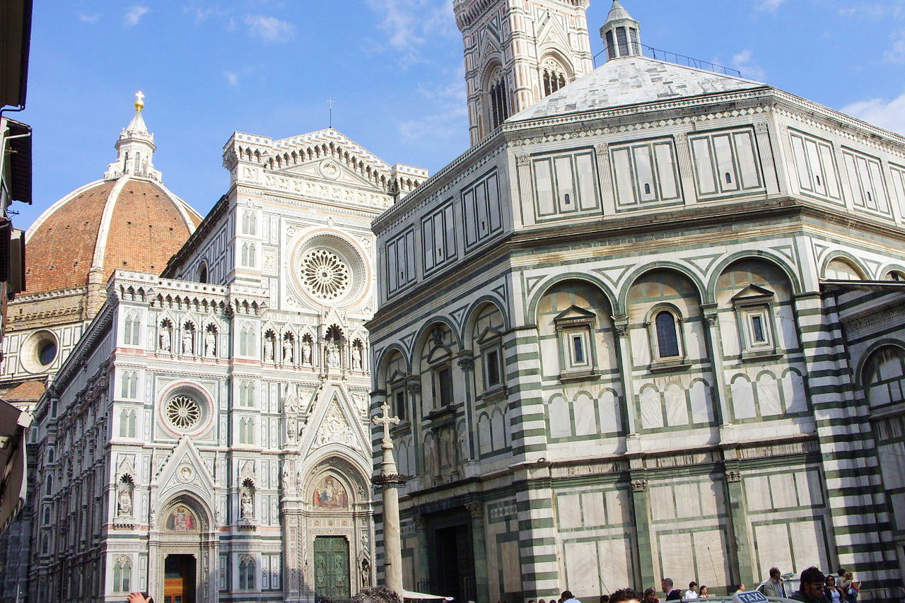
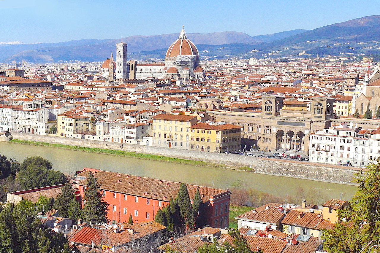 View over Florence
The official websites
Toscana
Never-ending Renaissance
| Location: | Western Italy |
| Coordinates: | 43° 30′ N, 11° 00′ E |
| Size: | • 240 km N-S; 220 km E-W • 150 miles N-S; 135 miles E-W |
| Terrain: | Hilly. Mountainous in the north and east. Gentler hills elsewhere with fertile valley farmlands |
| Climate: | High levels of sunshine and hot summers. Rainy close to the mountains. Cool winters; snow in the mountains but rare in the lowlands |
| Highest point: | Monte Prado 2,054 m |
| Forest: | 47% (2010 est.) (source) |
| Population: | 3,722,729 (2019) |
| Population density: | Medium (160/km²) |
| Capital: | Firenze (English: Florence) |
| Languages: | Italian |
| Human Development Index: | Very High (0.907) |