.jpg)
The Geography of
Umbria
Why visit Umbria?
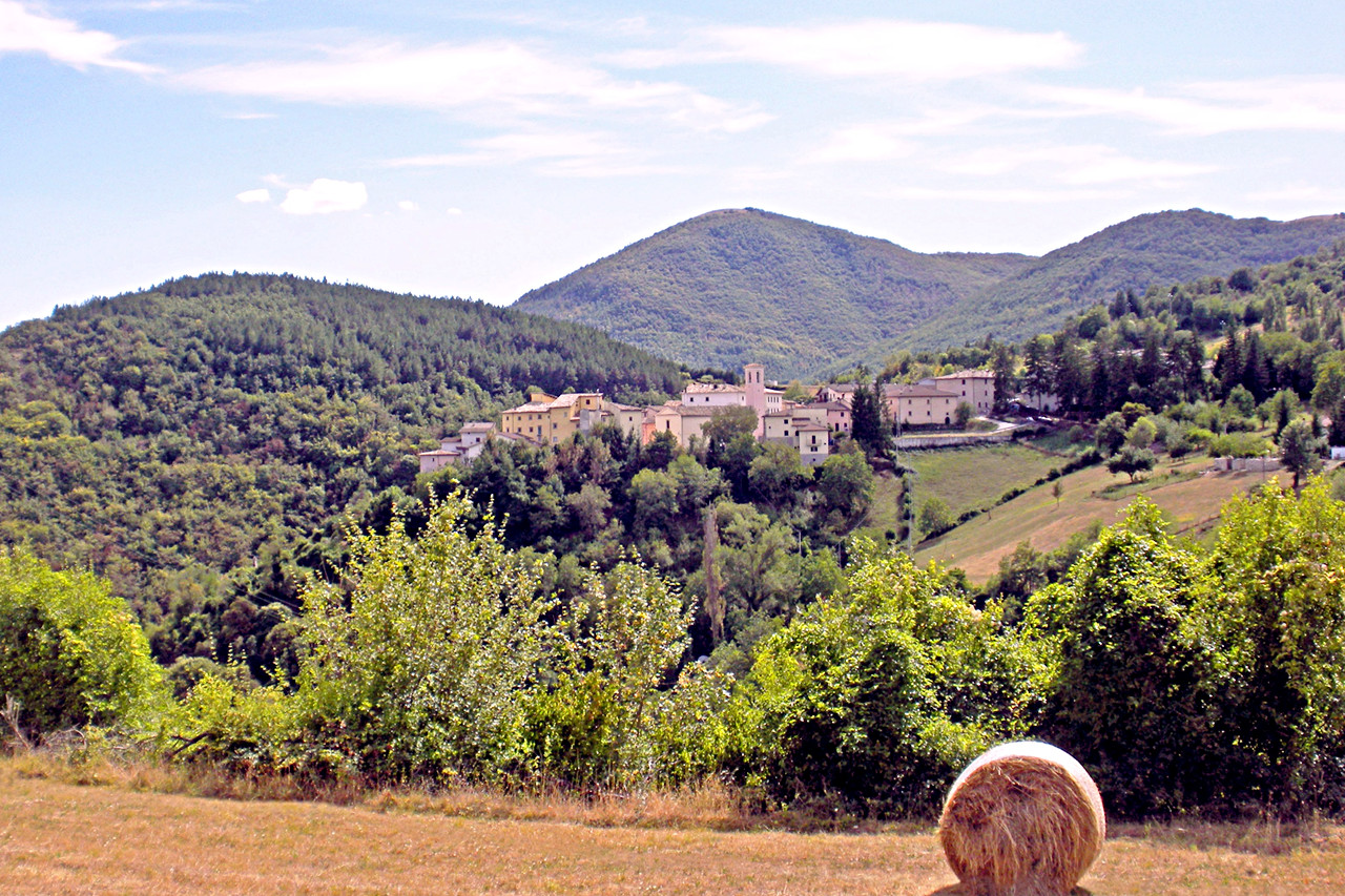
Umbria is mountainous with numerous small but fertile valleys which intersect the Apennines. All the level portions and the lower slopes are covered with farms, while the crags on the mountain tops are planted with forest. The high position, moderate temperature, and abundant rainfall keeps the plants fresh and green even in the summer.
Contents
Map
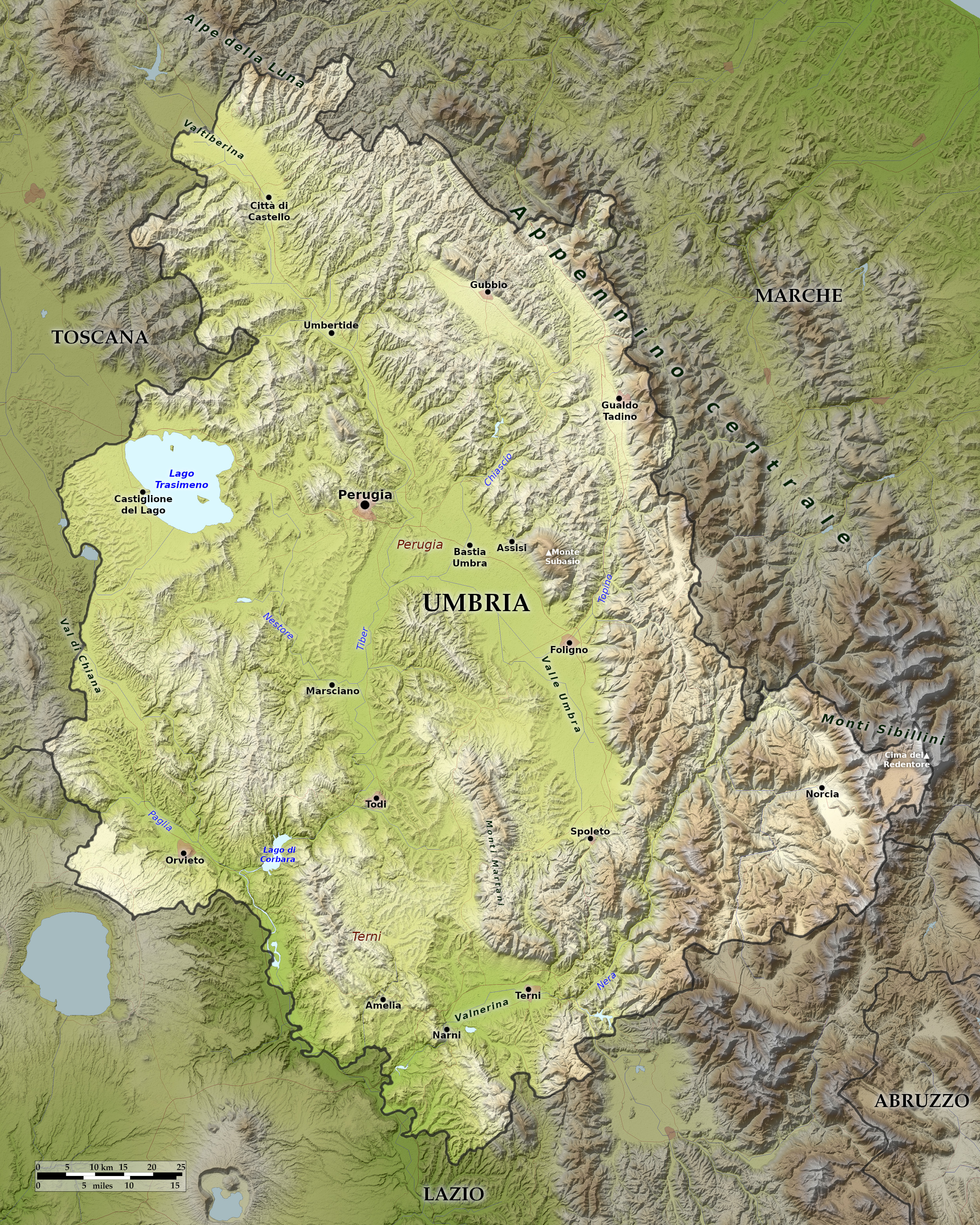 Relief map of Umbria
What is the landscape of Umbria like?
.jpg&oldid=508095586)
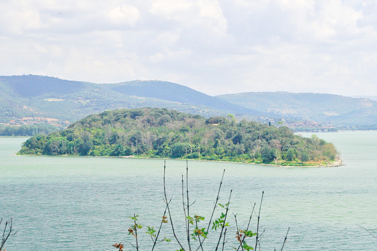
Umbria is the only region in Italy without a seacoast. The region faces Lazio to the south, Tuscany to the northwest and the high ridge of the Appennine mountains to the east. The Tiber is Umbria's most important river. It rises north of Perugia and flows past Todi until it enters Lazio south of Orvieto. In the northwest is Lago Trasimeno, the fourth largest lake in Italy, but also very shallow with a depth not greater than seven meters.
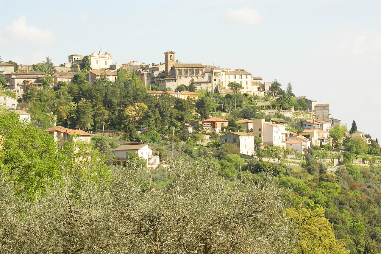
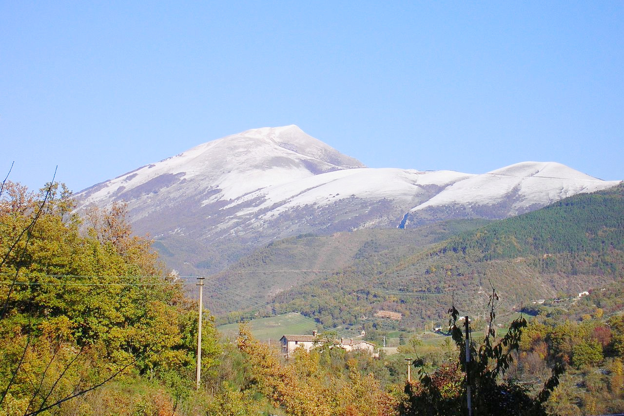
The Tiber and some other rivers provide a few flat valleys, but Umbria is mostly hills and mountains. In Umbria's southeast corner is its highest peak, Cima del Redentore at 2,448 meters (8,031 feet), which forms part of the Sibillini Mountains of the Apennines on the border with the Marche. Umbria's ruggedness has long been the chief reason for its remoteness. Modern road construction has helped integrate Umbria into Italy, but it remains one of Italy's most rural regions.
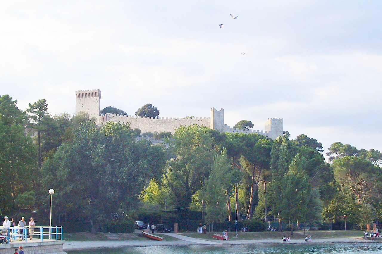
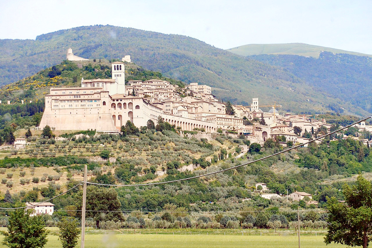
Perugia, the capital of Umbria, sits in a glorious position in the midst of a fertile plain, and at the point of junction of several natural high-roads. In the little town of Assisi, near Perugia, lived Saint Francis of Assisi, the founder of the begging order of the Franciscans. He was buried in the vast monastery on the hill side—an object of pilgrimage for centuries.
What is the nature of Umbria like?
Umbria is a region full of greenery, rich in vineyards and olive groves. A large part of the territory is covered by oak forests. These forests are home to a large number of wild animals (including wild boar) and birds.
What is the climate of Umbria like?
The climate of Umbria is very varied due to differences in altitude. In the lowlands and the hills it is warm in the summer, and constantly mild in the Tiber valley, and the climate is a temperate Mediterranean one. The mountains have a fresher climate, with notable rainfall in spring and autumn. Winters can be harsh in the mountains, and even in some of the historic cities like Perugia and Orvieto, which are often perched on peaks.
| Climate data for Perugia (1971–2000) | |||||||||||||
|---|---|---|---|---|---|---|---|---|---|---|---|---|---|
| Month | Jan | Feb | Mar | Apr | May | Jun | Jul | Aug | Sep | Oct | Nov | Dec | Year |
| Average high °C (°F) | 8.9 (48.0) | 10.9 (51.6) | 14.1 (57.4) | 16.8 (62.2) | 22.1 (71.8) | 26.1 (79.0) | 30.0 (86.0) | 30.0 (86.0) | 25.5 (77.9) | 19.7 (67.5) | 13.3 (55.9) | 9.3 (48.7) | 18.9 (66.0) |
| Daily mean °C (°F) | 4.8 (40.6) | 6.0 (42.8) | 8.4 (47.1) | 11.0 (51.8) | 15.7 (60.3) | 19.4 (66.9) | 22.6 (72.7) | 22.8 (73.0) | 19.2 (66.6) | 14.4 (57.9) | 8.9 (48.0) | 5.5 (41.9) | 13.2 (55.8) |
| Average low °C (°F) | 0.6 (33.1) | 1.1 (34.0) | 2.6 (36.7) | 5.1 (41.2) | 9.3 (48.7) | 12.6 (54.7) | 15.2 (59.4) | 15.6 (60.1) | 12.8 (55.0) | 9.1 (48.4) | 4.4 (39.9) | 1.8 (35.2) | 7.5 (45.5) |
| Average precipitation mm (inches) | 52.7 (2.07) | 56.8 (2.24) | 54.0 (2.13) | 72.0 (2.83) | 75.6 (2.98) | 69.9 (2.75) | 37.4 (1.47) | 49.7 (1.96) | 87.6 (3.45) | 85.7 (3.37) | 94.7 (3.73) | 68.4 (2.69) | 804.5 (31.67) |
| Source: Servizio Meteorologico | |||||||||||||
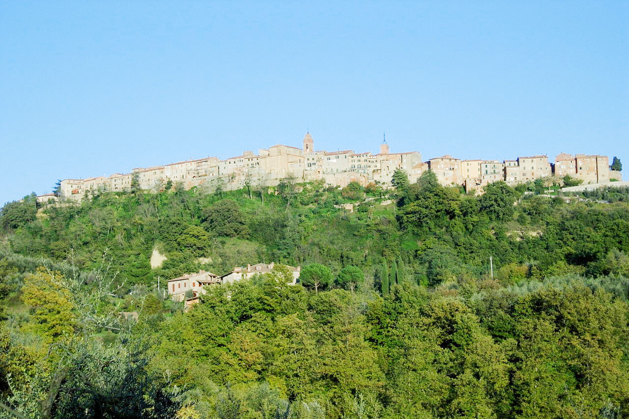
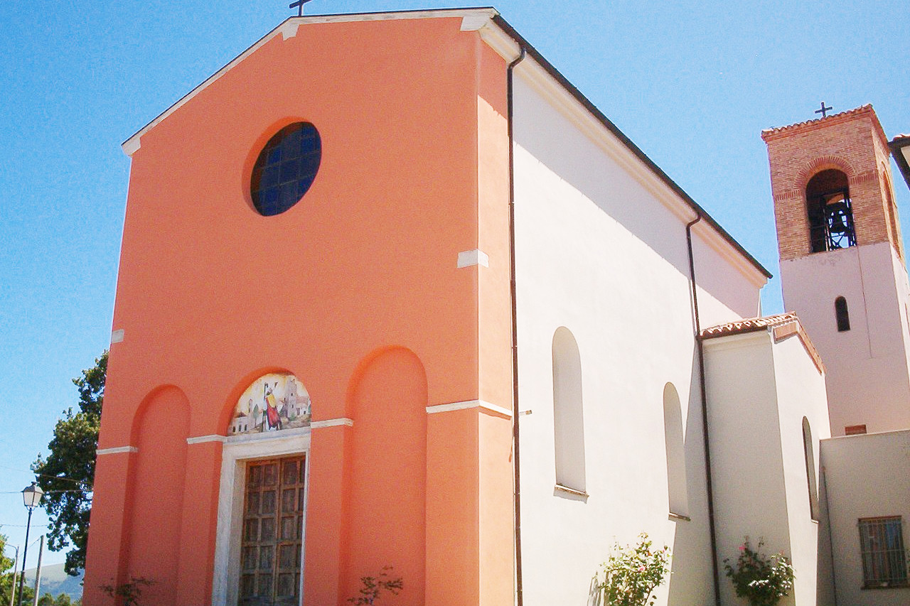
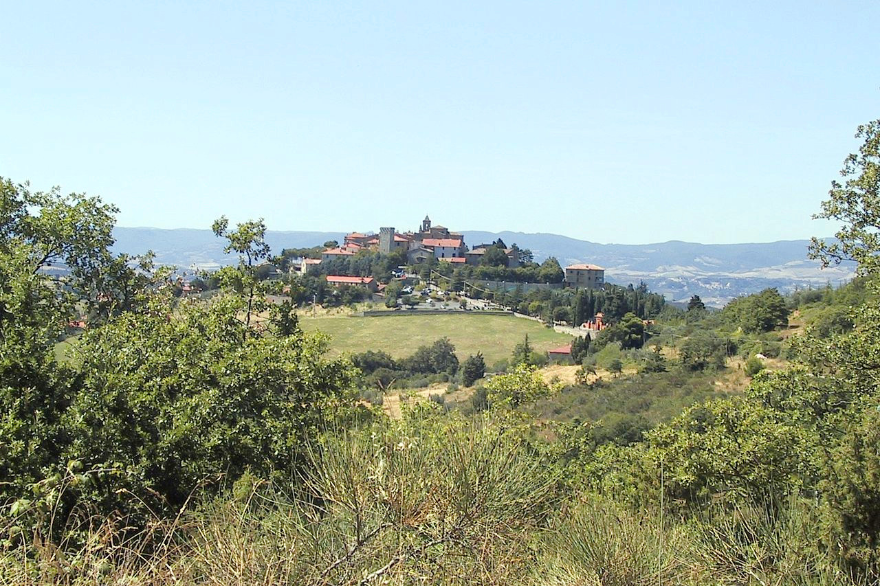 Commune of Montegabbione, Terni
The official websites
Umbria
Italy's green heart
| Location: | Central Italy |
| Coordinates: | 43° 00′ N, 12° 30′ E |
| Size: | • 140 km N-S; 115 km E-W • 85 miles N-S; 70 miles E-W |
| Terrain: | Hills and mountains. A landlocked region, both rural and rugged |
| Climate: | Warm in the plains and in the hills with hot summer days. Cooler in the mountains with considerable rainfall in spring and autumn |
| Highest point: | Cima del Redentore 2,448 m |
| Forest: | 36% (2010 est.) (source) |
| Population: | 889,000 (2016) |
| Population density: | Medium (110/km²) |
| Capital: | Perugia |
| Languages: | Italian |
| Human Development Index: | Very High (0.897) |