The Geography of
Marche
Why visit Marche?
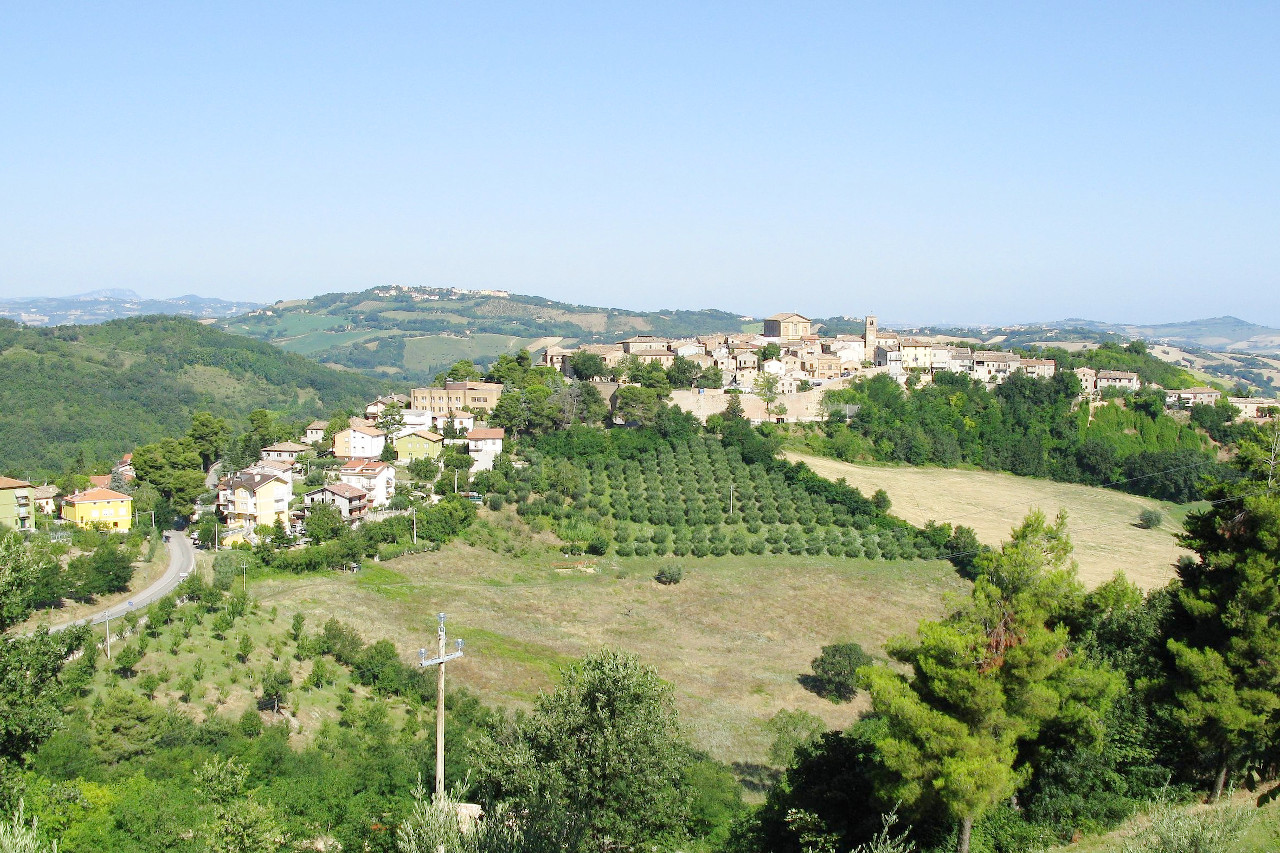
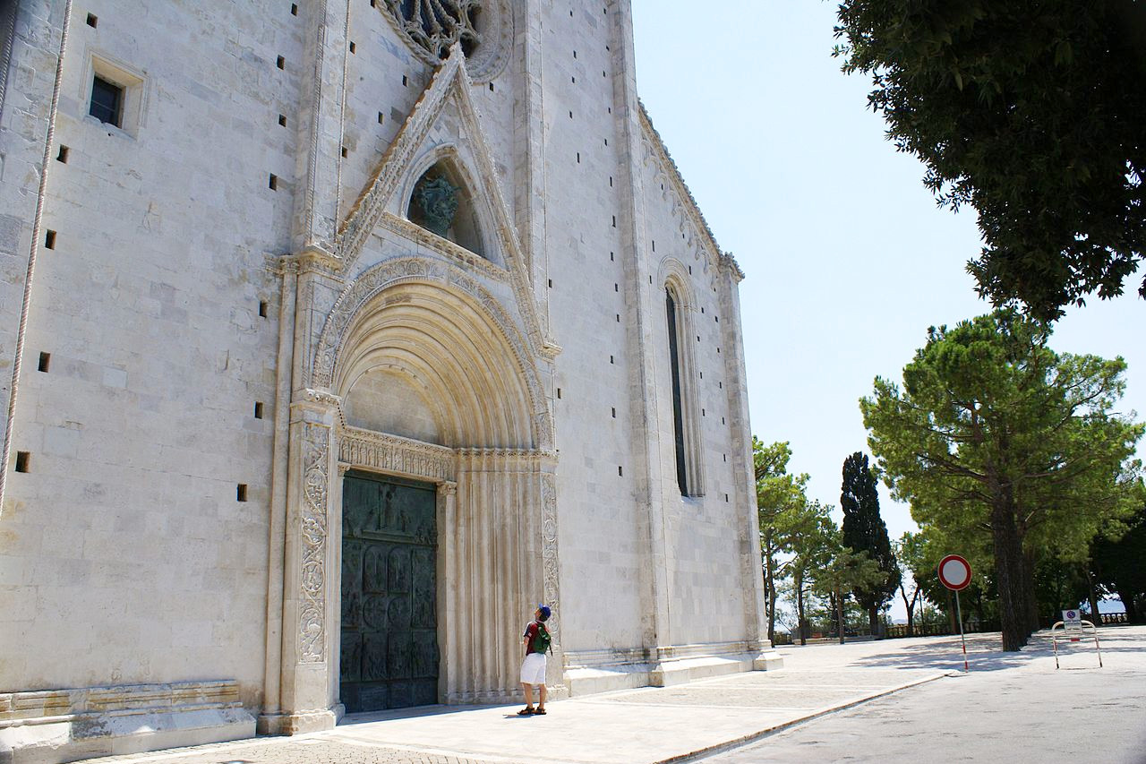
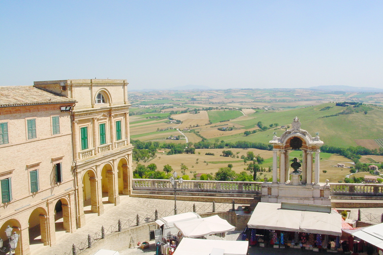
In Marche, the eastern slope of the central Apennines approach close to the sea, thus this is a hilly country much broken and divided by the torrents from the mountains. It contains many towns, villages, palaces, and churches nestled among its gentle hills, and the region is very fertile, especially in fruit-trees, olives and vines.
Contents
Map
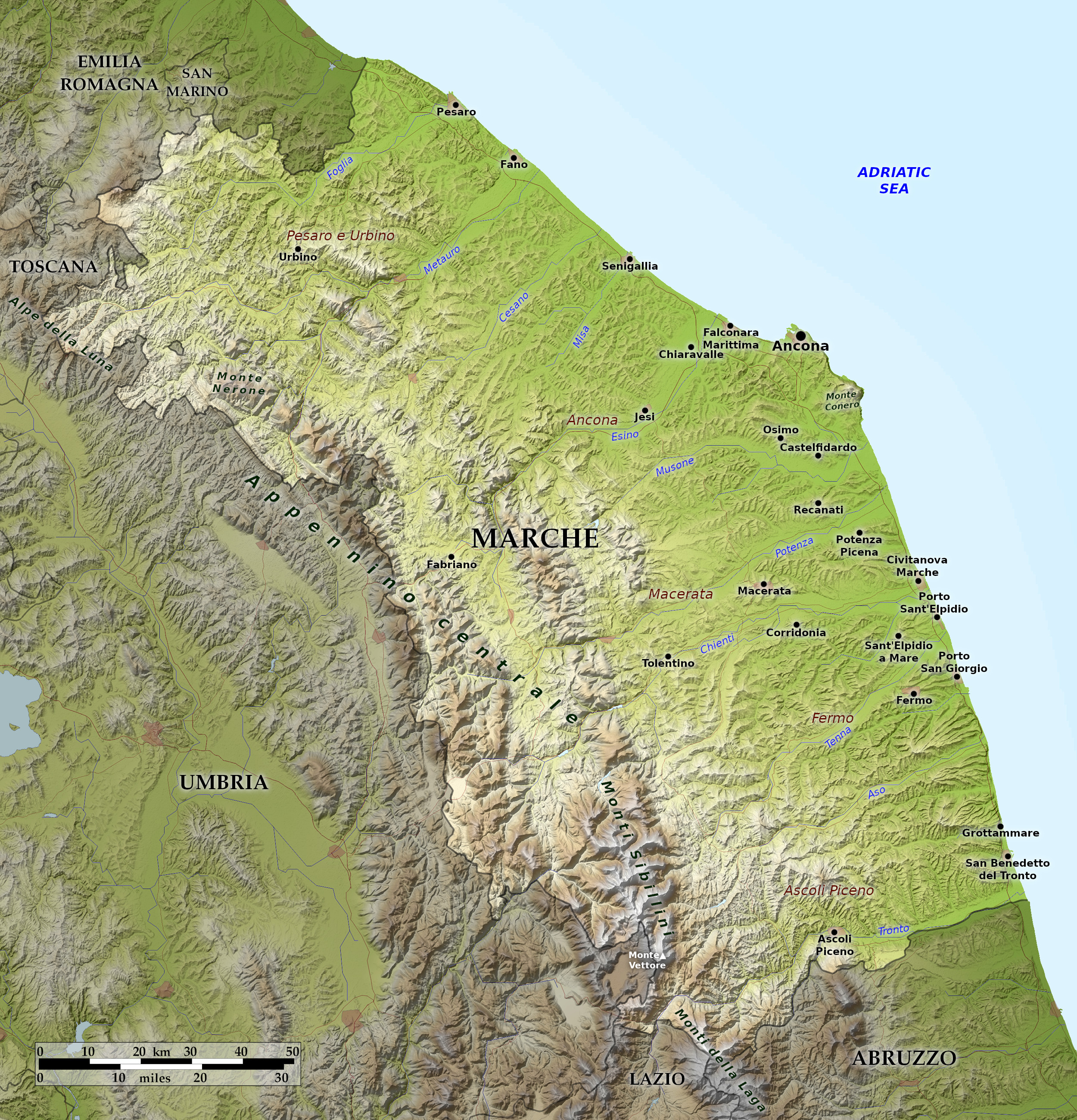 Relief map of Marche
What is the landscape of Marche like?
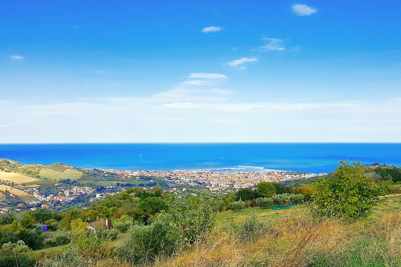
The Marche are rugged lands; hills and mountains dominate the landscape. The highest points are in the central Apennines in the region's western districts. The tallest mountain, at 2,476 m (8,123 feet), is Monte Vettore in the Sibillini range along the border with Umbria. Once the land reaches the sea, the Marche landscape is rolling hills or dramatic cliffs cascading into the Adriatic, such as at the Monte Conero, just south of Ancona and the coastline northwest of Pesaro.
It is a very fertile region, especially in fruit-trees, olives and vines; and it has been, both in ancient and modern times, a populous district, containing many small towns though no great cities. The coast is almost an almost unbroken straight line with few ports, with the main exception of Ancona.
What is the nature of Marche like?
About one quarter of the region is covered by woodland. The typical species are the downy oak, the turkey oak, the hop-hornbeam and the black hornbeam. On the higher slopes the trees are mainly beech trees, with some plantations of conifers (especially black and silver pines), firs, maples and ash trees.
What is the climate of Marche like?
In the coastal area north of Ancona the climate is subcontinental with hot summers cooled by sea breezes, and cold winters with regular seasonal rains. South of Ancona, the climate becomes more distinctly Mediterranean. In the inland hilly areas the climate is again rather subcontinental, with sultry summers and harsh winters with occasional snowfall. In the mountains there are cool summers and harsh winters with snow.
| Climate data for Ancona (1971–2000) | |||||||||||||
|---|---|---|---|---|---|---|---|---|---|---|---|---|---|
| Month | Jan | Feb | Mar | Apr | May | Jun | Jul | Aug | Sep | Oct | Nov | Dec | Year |
| Average high °C (°F) | 9.2 (48.6) | 10.2 (50.4) | 13.6 (56.5) | 16.9 (62.4) | 21.7 (71.1) | 25.6 (78.1) | 28.2 (82.8) | 28.1 (82.6) | 24.5 (76.1) | 19.4 (66.9) | 13.9 (57.0) | 10.4 (50.7) | 18.5 (65.3) |
| Daily mean °C (°F) | 5.3 (41.5) | 5.9 (42.6) | 8.6 (47.5) | 11.6 (52.9) | 16.3 (61.3) | 20.1 (68.2) | 22.6 (72.7) | 22.7 (72.9) | 19.3 (66.7) | 14.7 (58.5) | 9.8 (49.6) | 6.5 (43.7) | 13.6 (56.5) |
| Average low °C (°F) | 1.4 (34.5) | 1.6 (34.9) | 3.6 (38.5) | 6.4 (43.5) | 10.9 (51.6) | 14.5 (58.1) | 16.9 (62.4) | 17.2 (63.0) | 14.0 (57.2) | 10.0 (50.0) | 5.7 (42.3) | 2.6 (36.7) | 8.7 (47.7) |
| Average precipitation mm (inches) | 43.8 (1.72) | 49.3 (1.94) | 56.8 (2.24) | 58.8 (2.31) | 54.0 (2.13) | 60.4 (2.38) | 47.1 (1.85) | 76.4 (3.01) | 72.6 (2.86) | 75.9 (2.99) | 86.0 (3.39) | 58.1 (2.29) | 739.2 (29.10) |
| Source: Servizio Meteorologico | |||||||||||||
 Sarnano in the province of Macerata
The official websites
Marche
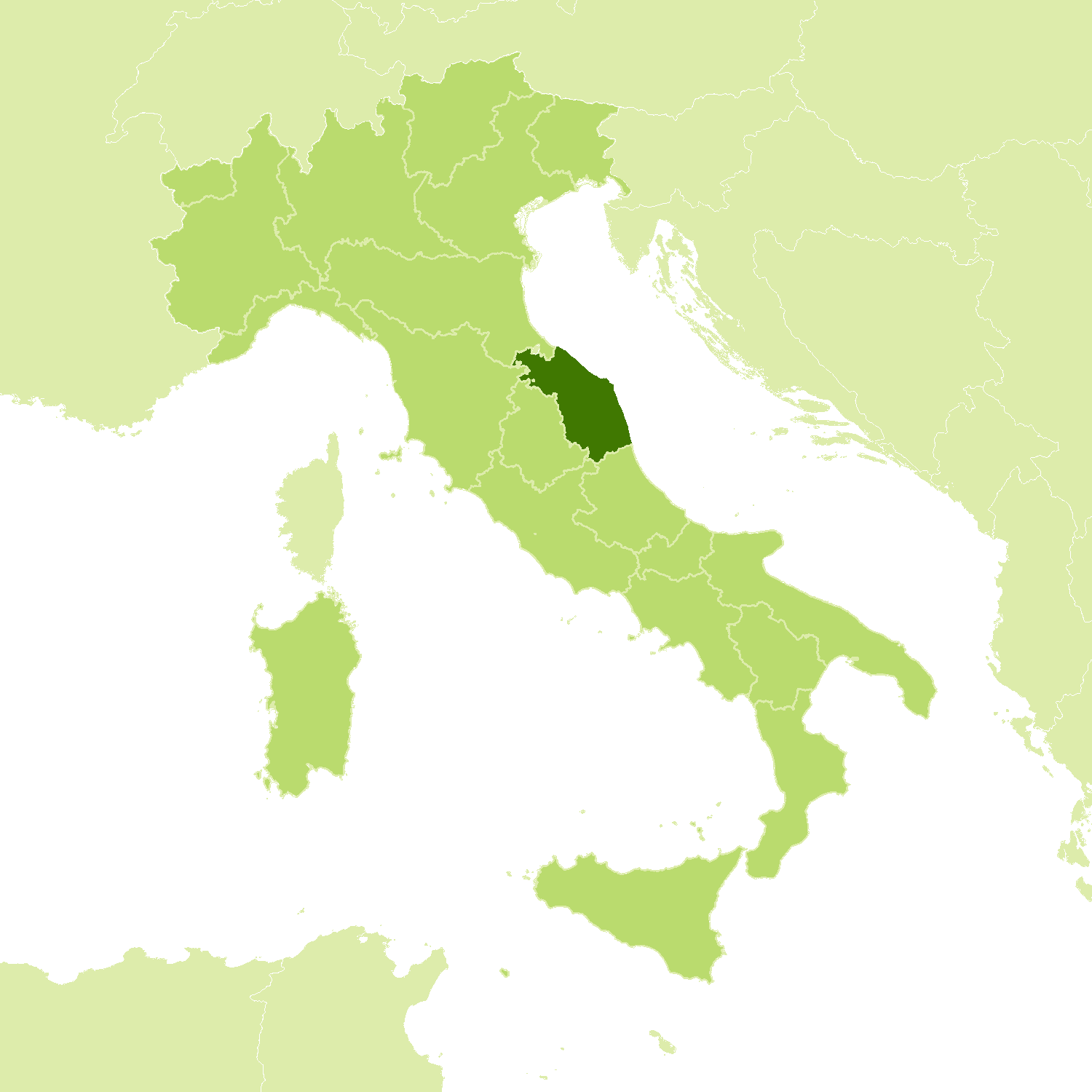
Italy in one region
| Location: | Eastern Italy |
| Coordinates: | 43° 30′ N, 13° 30′ E |
| Size: | • 140 km N-S; 145 km E-W • 85 miles N-S; 90 miles E-W |
| Terrain: | Hills and mountains becoming rolling hills and cliffs on the coast |
| Climate: | Hot summers, with sea breezes, and cool winters. The mountains have cooler summers and cold winters with frequent winter snow |
| Highest point: | Monte Vettore 2,476 m |
| Forest: | 24% (2010 est.) (source) |
| Population: | 1,541,692 (2012) |
| Population density: | Medium (160/km²) |
| Capital: | Ancona |
| Languages: | Italian |
| Human Development Index: | Very High (0.901) |
