
The Geography of
Malta
Why visit Malta?
Malta is a sun-worshippers paradise. With its excellent climate, numerous beaches, and convenient harbors, it is a land full of beauty and charm. Malta is the historic island of the Knights of Saint John, who from 1530 to 1798 built palaces and churches and defended their fortress against all invaders, including the Turks during the Great Siege of 1565.
Contents
Map
 Relief map of Malta
What is the landscape of Malta like?
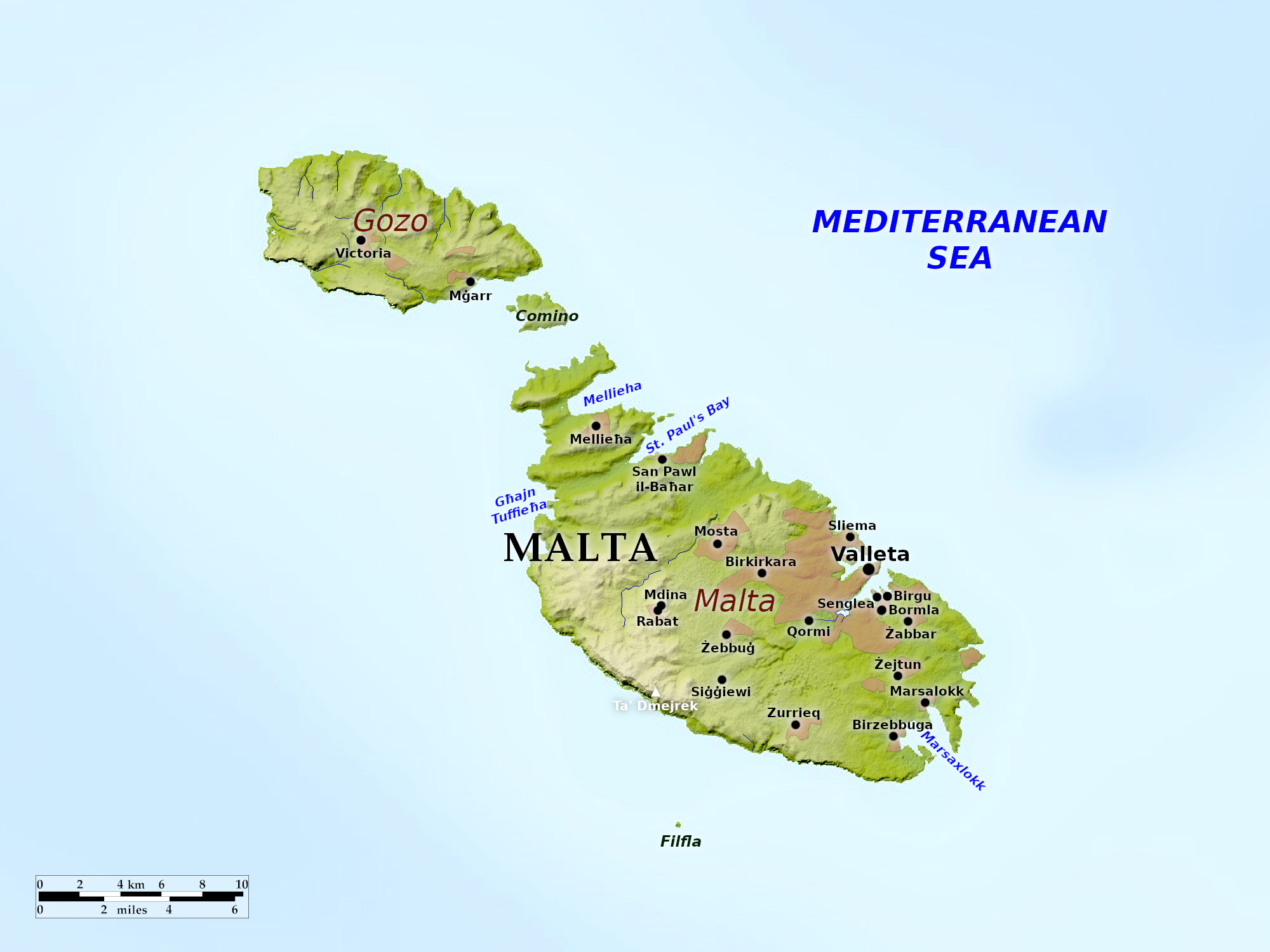
Malta is about 60 miles from the nearest point of Sicily, and 180 miles from Africa. Three islands make up the chain, Malta, Gozo, and the little island of Comino.
Malta
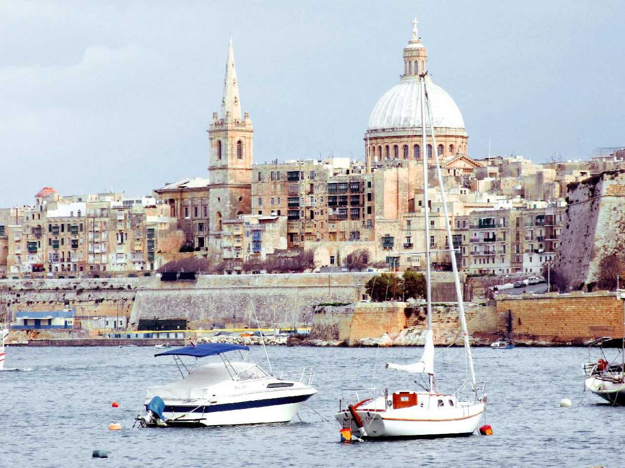
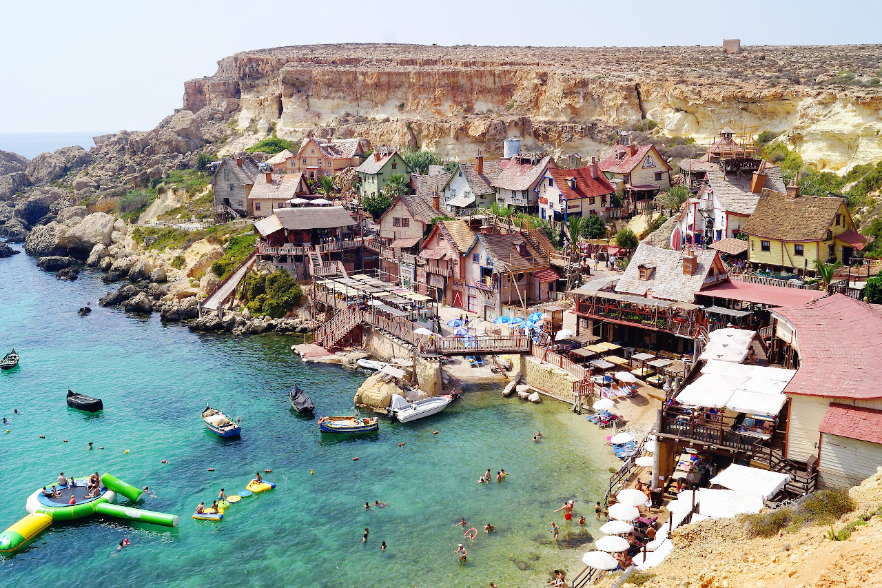
The main island of Malta is 17 miles long and 9 miles wide. The capital city of Valletta retains its ancient picturesqueness. Its tall houses, ornamented with balconies and conservatories, rise amphitheater-like on the slope of the hill; stairs lead from the harbor to the summit of this hill, and the blue sea can be seen from every street. The city is home to the unique cathedral of Saint John with the tombs of the Knights of Saint John—a reminder of the days when the Catholic military order made Malta their own fortress.
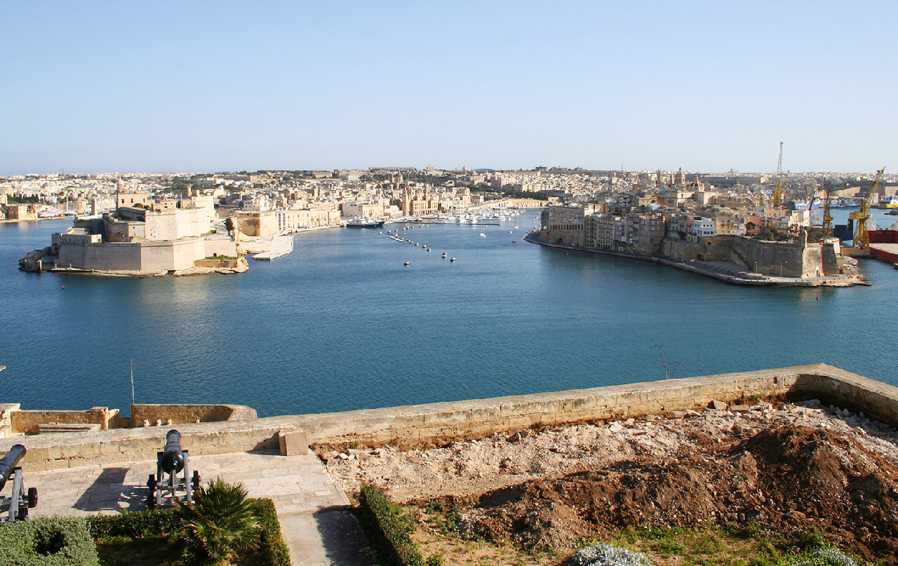
Mount Sciberras, on which Valletta is built, is a steep promontory about 1 mile long, pointing northeast. It rises out of deep water with well-sheltered creeks on both sides. The waters on the southeast form the Grand Harbour, a magnificent natural harbour. To the south-east of Valletta, on the other side of the Grand Harbour, are the cities of Senglea, Birgu, and Bormla (Cospicua); this group is often spoken of as "The Three Cities."
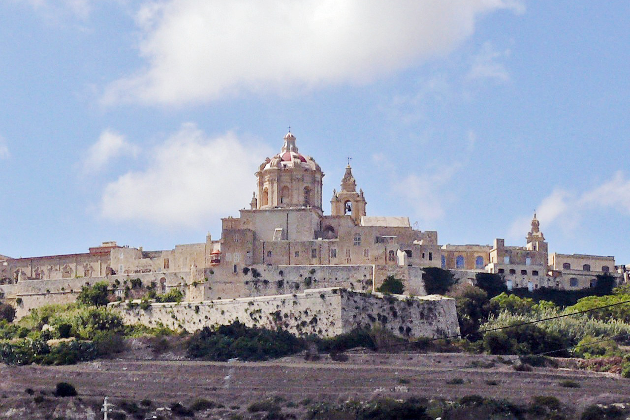
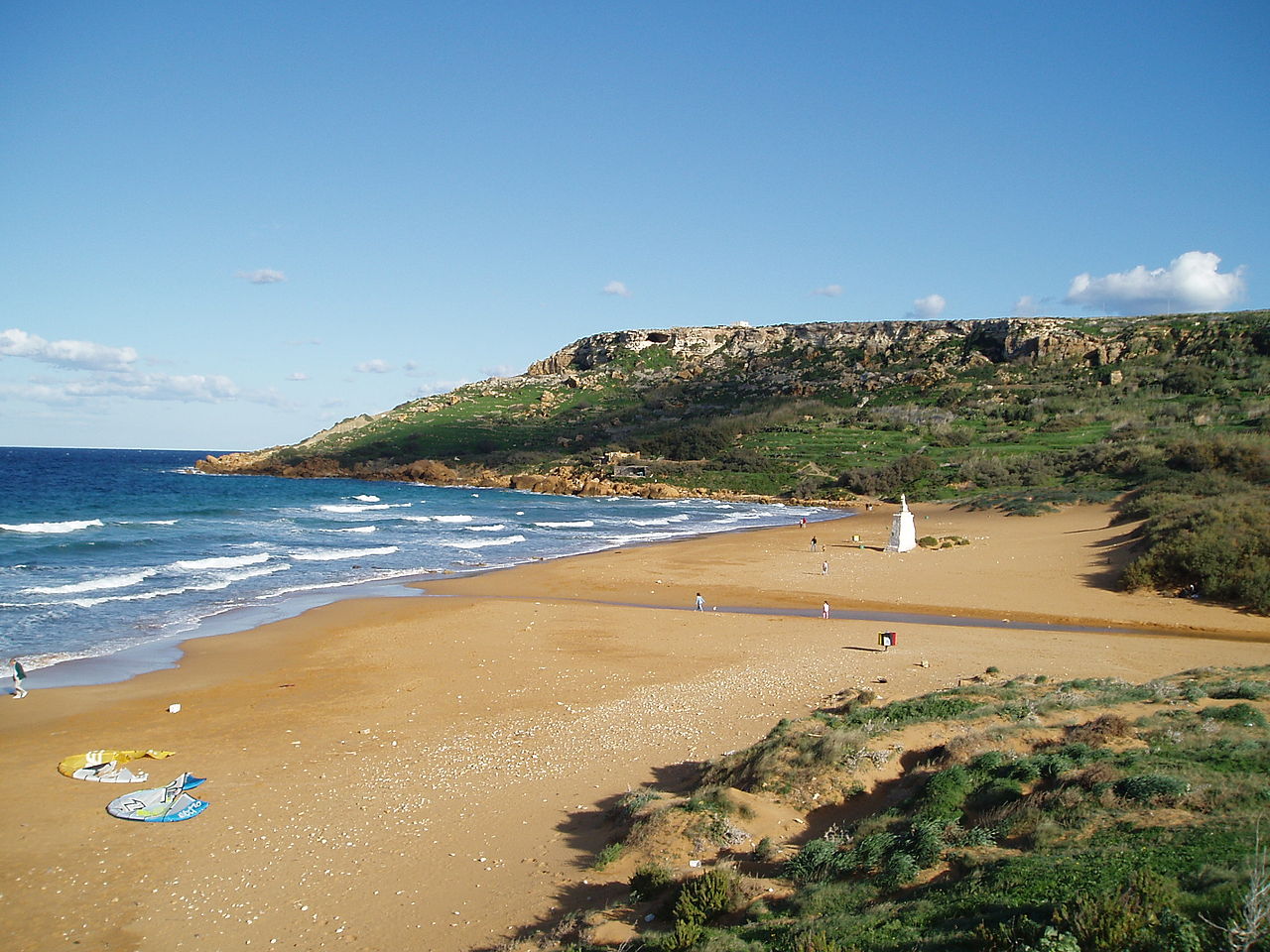
The old capital, near the centre of the island is Mdina, with its suburb Rabat; here are the catacombs and the ancient cathedral of Malta. The other major harbours of Malta are: the series of bays on the other side of Valletta known as Marsamxett Harbour; the two bays called Mellieħa and St Paul's at the northwest of the island; and the large bay of Marsaxlokk on the southeast.
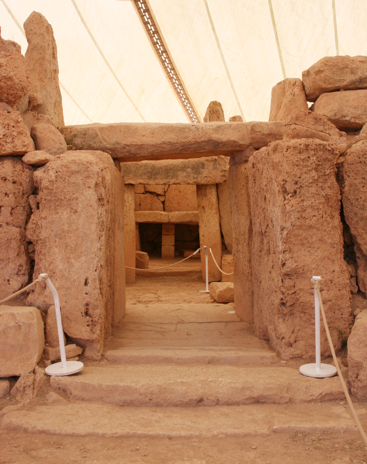
Placed in the very centre of the Mediterranean, and possessed of an excellent port, Malta has been of great importance since the dawn of maritime trade. It has been occupied by the empires who succeeded each other in the Mediterranean—Carthaginians, Romans, Greeks, and Arabs. But long before that time the island was inhabited—there are rich remains of a culture who were the builders of remarkable megalithic monuments, the most noteworthy being the Skorba and Ta' Ħaġrat temples to the west, Ħaġar Qim and Mnajdra temples to the south, and the Tarxien temples and the rock-cut hypogeum of Ħal Saflieni to the east.
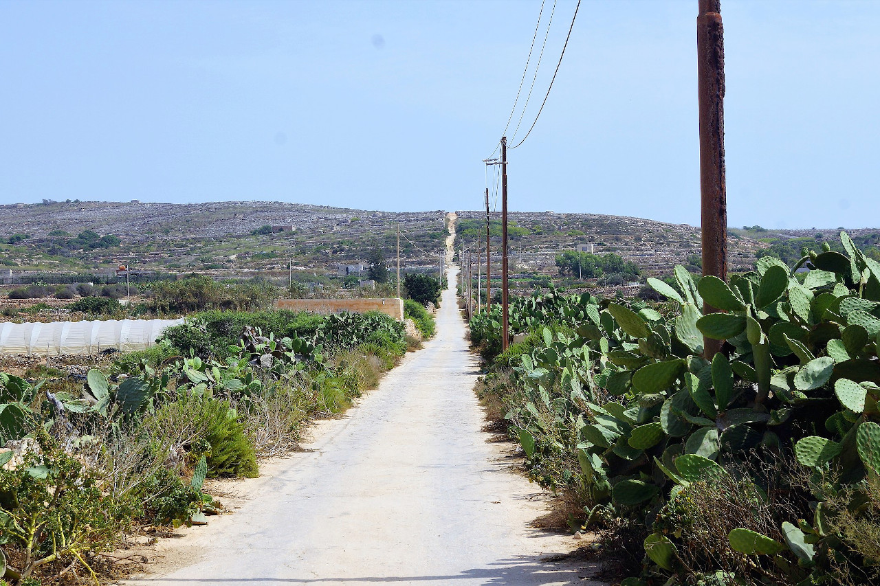
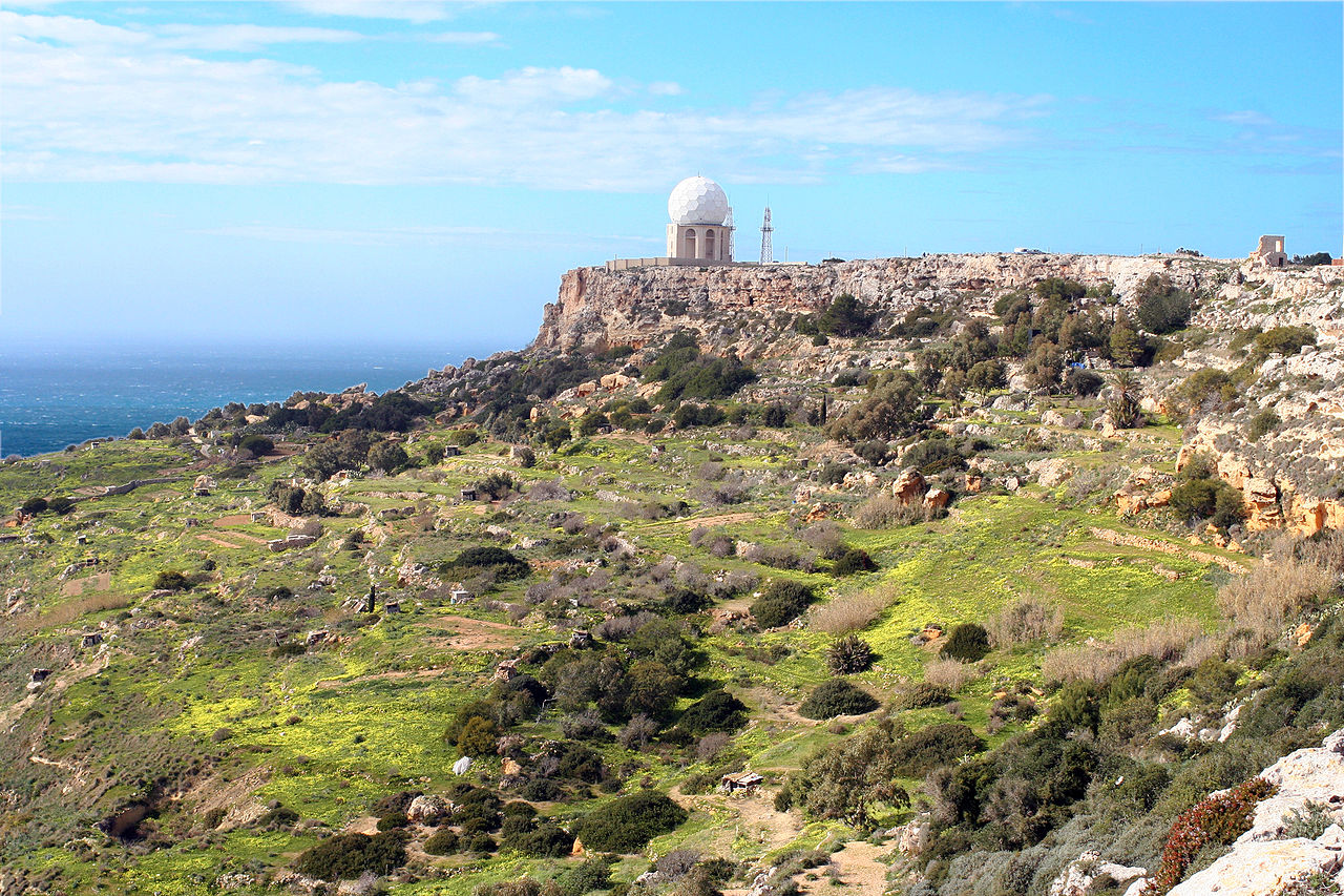
From Rabat the island rises gently towards the south culminating at the summit of Ta' Dmejrek on the southern cliffs at a height of 253 metres (830 feet). Grey rocks abound, a fine dust covers the vegetation, and the white walls of the villages glisten in the sun. There are few forests on Malta, except for the odd planted woodland. The soil is scorched, but surprisingly fertile, and much of the island is cultivated. The fields are small and composed of terraces along the contours of the hills, and there are little stone walls everywhere. During the season of rainfall in early spring, flowers bloom, and the sulla clover, having a beautiful purple blossom, grows almost to head height.
Gozo
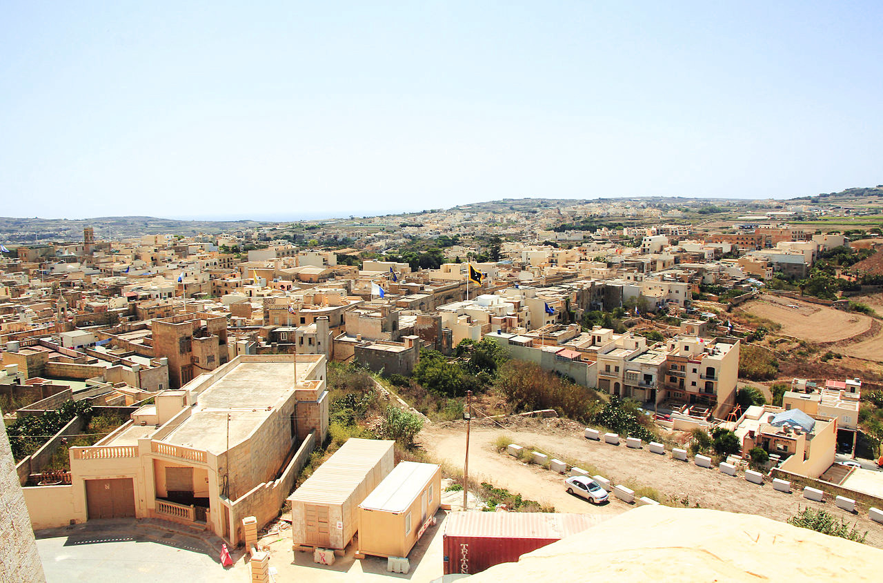
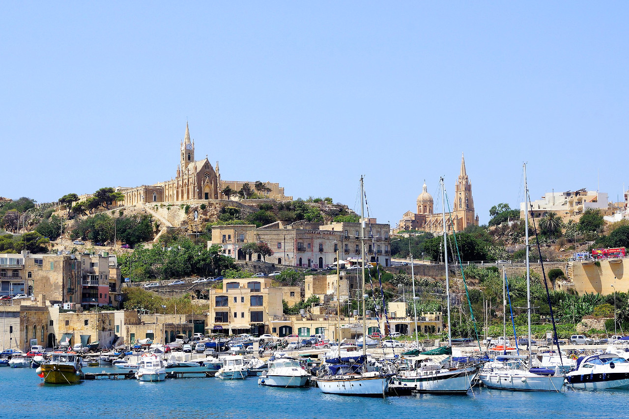
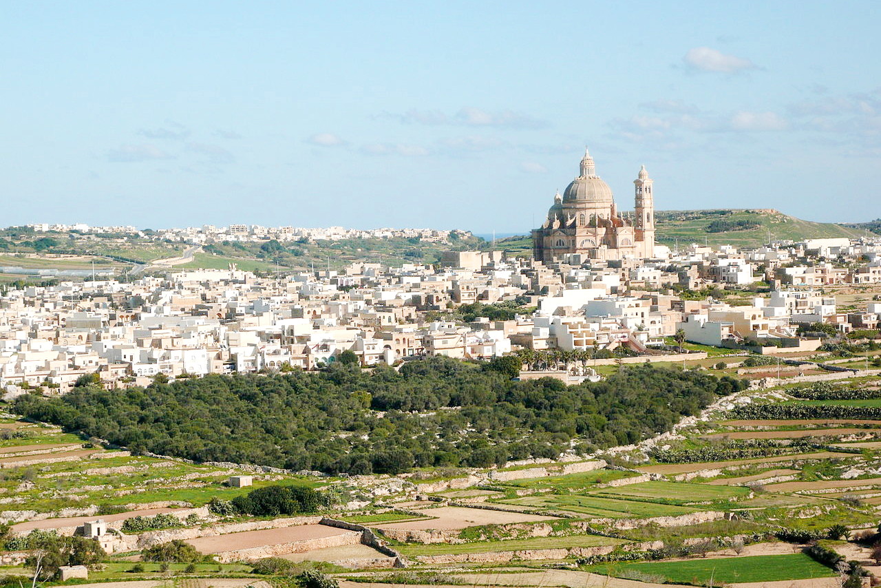
The island of Gozo is second in size to Malta; the island lies 3 miles northwest of Malta. It is of oval form, and is 9 miles long and 4 miles wide. Its chief town, Victoria, stands near the middle of the island on one of a cluster of steep conical hills, 3 miles from the harbour town of Mġarr in southeastern Gozo.
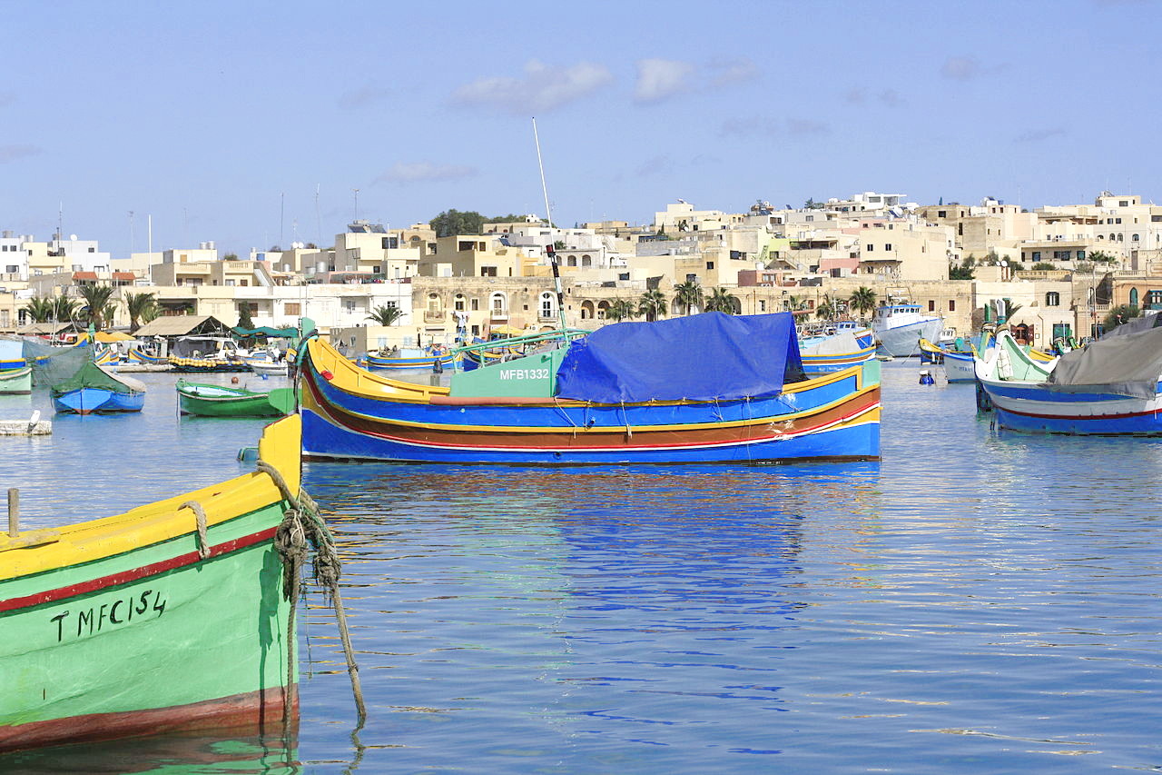
Gozo is a rather greener island than Malta, and has a rather more rugged coastline, rising as sheer cliffs in places. From the villages which are built astride spurs, one can look down green valleys leading to the sea. Gozo is essentially an island of farming and fishing villages.
Comino
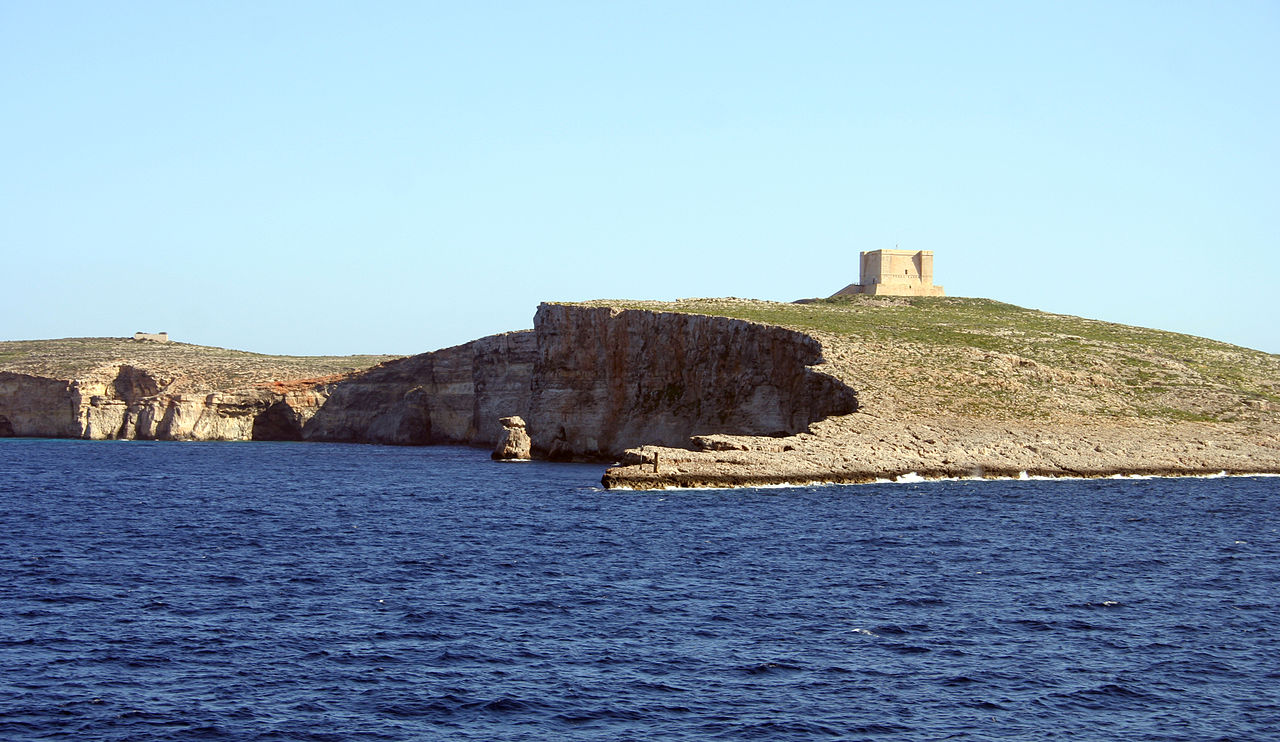
Between the two main islands is the smaller Comino island of 1 square mile. This is an exposed and barren island where fresh water is scarce. The island was fortified during the time of the Knights, and there is an old fort (later used as a quarantine hospital), towers, a church and a few other buildings on the island.
What is the nature of Malta like?
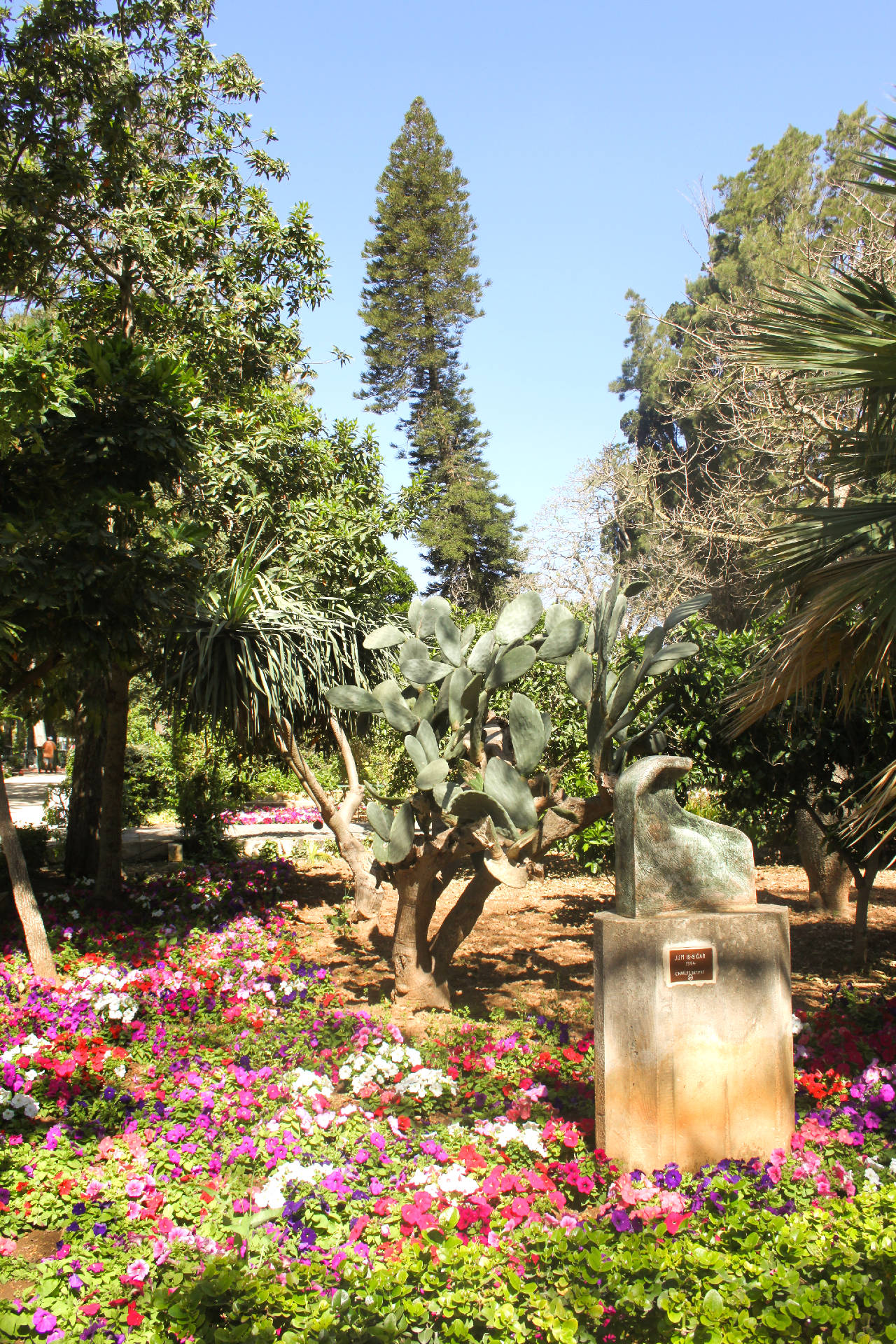
The carob tree is a native of Malta and the landscape is dotted with the dark green foliage of this tree. Other trees include the hawthorn (common in many valleys and ravines), white poplar, and some willows. Fruit trees include wild pear, almond, figs, and olive. French tamarisk is another native, and grows on sandy beaches and in valleys.
The flowers of Malta are mostly Italian in character, and there are blue anemones, antirrhinums, wild roses, orchids, gladiolus, snapdragons, and irises among many others. A purple flowering plant, the Maltese centaury (Cheirolophus crassifolius), is special to the islands, and is the national plant of Malta. Another flowering plant, Cynomorium coccineum, misnamed the "Malta fungus," was once so valued for medicinal purposes that the Knights of Malta set a guard for its preservation. The Prickly-pear cactus is naturalised in many places.
What is the climate of Malta like?
See our main article: The Climate of Malta
Malta has a Mediterranean climate, with hot dry summers and cool wet winters. The islands have a very sunny climate: in mid-summer the sunshine averages about 12 hours per day. July and August are normally the hottest months, and the heat of summer soon dries up the vegetation. January, February and March are on average the coldest months; light frosts can occur, but it is very rare for the temperature to drop to freezing point.
Rainfall is plentiful enough but erratic, and periods of drought have extended over three years. Rainfall is usually very low between May and August. In the autumn it typically falls in heavy but short storms; in winter and spring it is usually less heavy. The islands are also exposed to the Mediterranean winds, often supplying cooling winds from the northwest.
| Climate data for Malta (1991–2020) | |||||||||||||
|---|---|---|---|---|---|---|---|---|---|---|---|---|---|
| Month | Jan | Feb | Mar | Apr | May | Jun | Jul | Aug | Sep | Oct | Nov | Dec | Year |
| Average high °C (°F) | 15.7 (60.3) | 15.7 (60.3) | 17.4 (63.3) | 20.0 (68.0) | 24.2 (75.6) | 28.7 (83.7) | 31.7 (89.1) | 32.0 (89.6) | 28.6 (83.5) | 25.0 (77.0) | 20.8 (69.4) | 17.2 (63.0) | 23.1 (73.6) |
| Daily mean °C (°F) | 12.9 (55.2) | 12.6 (54.7) | 14.1 (57.4) | 16.4 (61.5) | 20.1 (68.2) | 24.2 (75.6) | 26.9 (80.4) | 27.5 (81.5) | 24.9 (76.8) | 21.8 (71.2) | 17.9 (64.2) | 14.5 (58.1) | 19.5 (67.1) |
| Average low °C (°F) | 10.1 (50.2) | 9.5 (49.1) | 10.9 (51.6) | 12.8 (55.0) | 15.8 (60.4) | 19.6 (67.3) | 22.1 (71.8) | 23.0 (73.4) | 21.2 (70.2) | 18.4 (65.1) | 14.9 (58.8) | 11.8 (53.2) | 15.9 (60.6) |
| Average precipitation mm (inches) | 79.3 (3.12) | 73.2 (2.88) | 45.3 (1.78) | 20.7 (0.81) | 11.0 (0.43) | 6.2 (0.24) | 0.2 (0.01) | 17.0 (0.67) | 60.7 (2.39) | 81.8 (3.22) | 91.0 (3.58) | 93.7 (3.69) | 580.7 (22.86) |
| Source: Meteo Climate | |||||||||||||
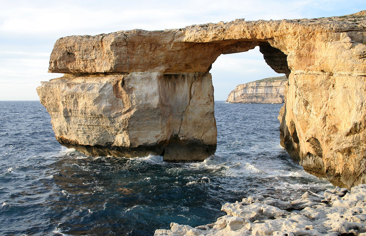 The Azure Window, Gozo
The official websites
Malta
The Heart of the Mediterranean
| Location: | Southern Europe, islands in the Mediterranean Sea, south of Sicily (Italy) |
| Coordinates: | 35° 50′ N, 14° 35′ E |
| Size: | • 32 km N-S; 37 km E-W • 20 miles N-S; 23 miles E-W |
| Terrain: | Mostly low, rocky, flat to dissected plains; many coastal cliffs |
| Climate: | Mediterranean; mild, rainy winters; hot, dry summers |
| Highest point: | Ta' Dmejrek 253 m / 830 ft |
| Forest: | 0.9% (2011 est.) |
| Population: | 457,267 (July 2020 est.) |
| Population density: | Very high (1,633/km²) |
| Capital: | Valletta |
| Languages: | Maltese (official) 90.1%, English (official) 6%, multilingual 3%, other 0.9% |
| Human Development Index: | Very high (0.895) |
| Currency: | Euro |