The Geography of
Tunisia
Why visit Tunisia?
Tunisia offers an exciting blend of ancient ruins, modern cities, sandy beaches, and crystal-clear waters. The landscape is varied and the colours are always so vibrant. The deserts are vast, the beaches are pristine, and the city centres are full of history and cultural experiences. The people are warm and welcoming—they are always happy to see tourists and want to show you their beautiful country. The architecture is stunning and the markets are bustling with life. It is easy to see why Tunisia is one of the most popular tourist destinations in the Mediterranean region.
Contents
Map
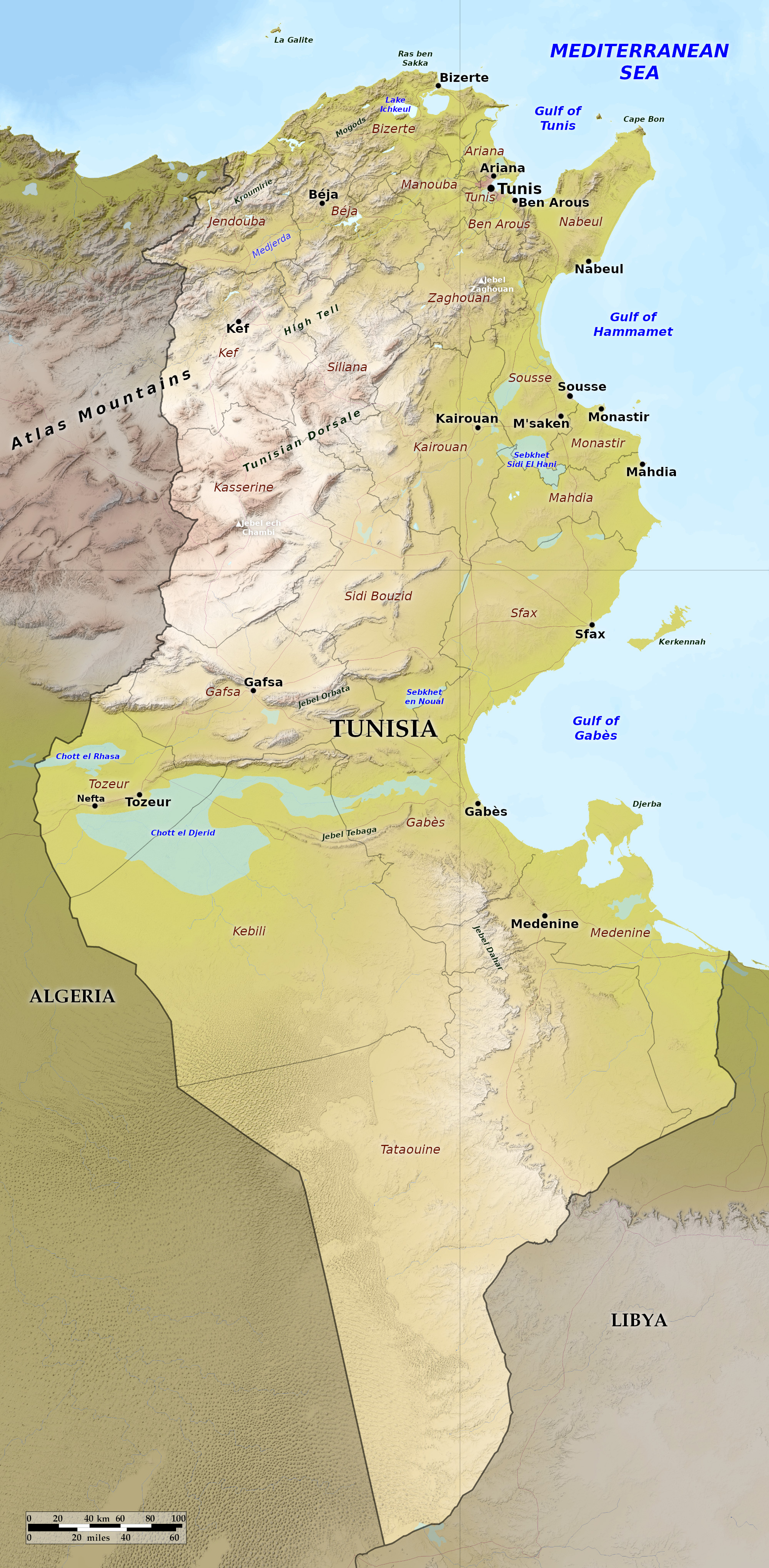 Relief map of Tunisia
What is the landscape of Tunisia like?
Tunisia is divided into six regions, the two northern regions which are fertile, two central regions which are steppe-like, and two southern desert regions which merge with the Sahara.
Northwest
The northwest region of Tunisia consists of the districts of Jendouba, Béja, Kef, and Siliana. This part of Tunisia is rural and mountainous with some peaks exceeding 1,000 meters (3,000 feet) especially in the Kroumerie hills in the northwest corner of Tunisia. This is the wettest part of Tunsia, with rains in the Kroumerie reaching 1,000 millimeters (40 inches) a year, usually coming in intense downpours. On the north coast the plateau falls abruptly in steep cliffs toward the sea. These northern mountains are covered with large oak forests, and contain very fertile valleys. Several rare species of animal such as the Barbary deer, Barbary sheep, and the Mouflon inhabit the forests. The north part of this region is divided from the south by the river plain of the Medjerda River, the longest and most important river of Tunisia.
To the south of the Medjerda is the plateau region (sometimes referred to as the 'High Tell'). This plateau which makes up much of the districts of Kef and Siliana has an average elevation of about 600 meters (2,000 feet). It is wind-swept and parched in the summer months, whereas winters are snowy and cold. It is generally covered with some kind of vegetation, but there are fewer trees. Some of the higher hills have the Aleppo pine and the juniper. Those parts which are not cultivated are covered with alfa or esparto grass.
Northeast
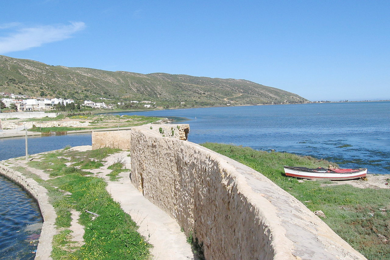
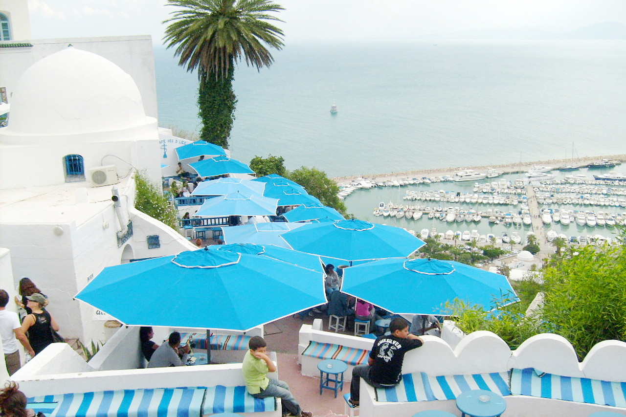
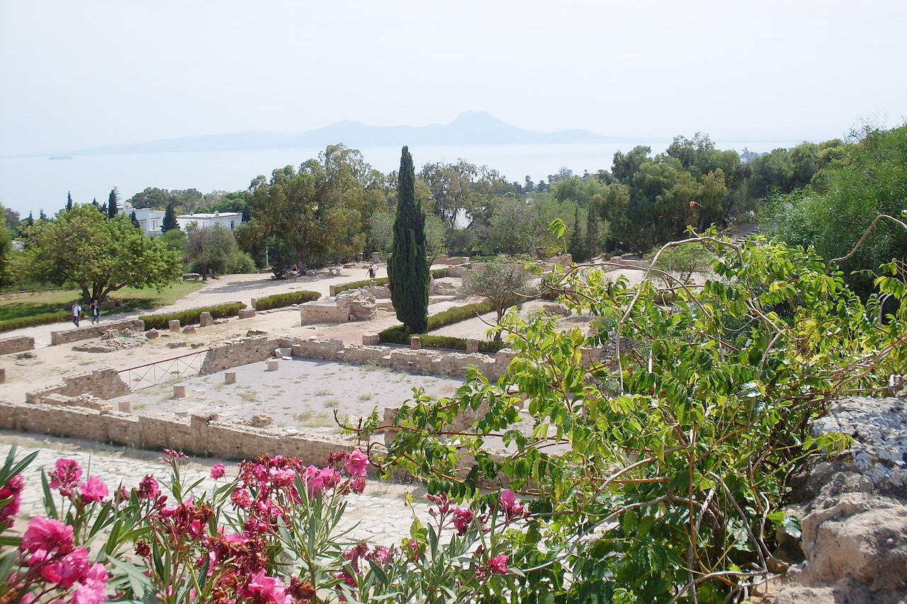
The northeast is the most densely populated part of Tunisia, and includes the districts of Bizerte, Menouba, Aryanah, Tunis, Ben Arous, Nabeul, and Zaghouan. The northern part around Bizerte is very hilly, the summits of the Mogod mountains exceeding 500 meters (1,600 feet). The Medjerda River, flowing north-east, forms an extensive plain in its lower course, reaching the sea in the Gulf of Tunis. Vegetation is abundant, similar to the more fertile districts of southern Europe.
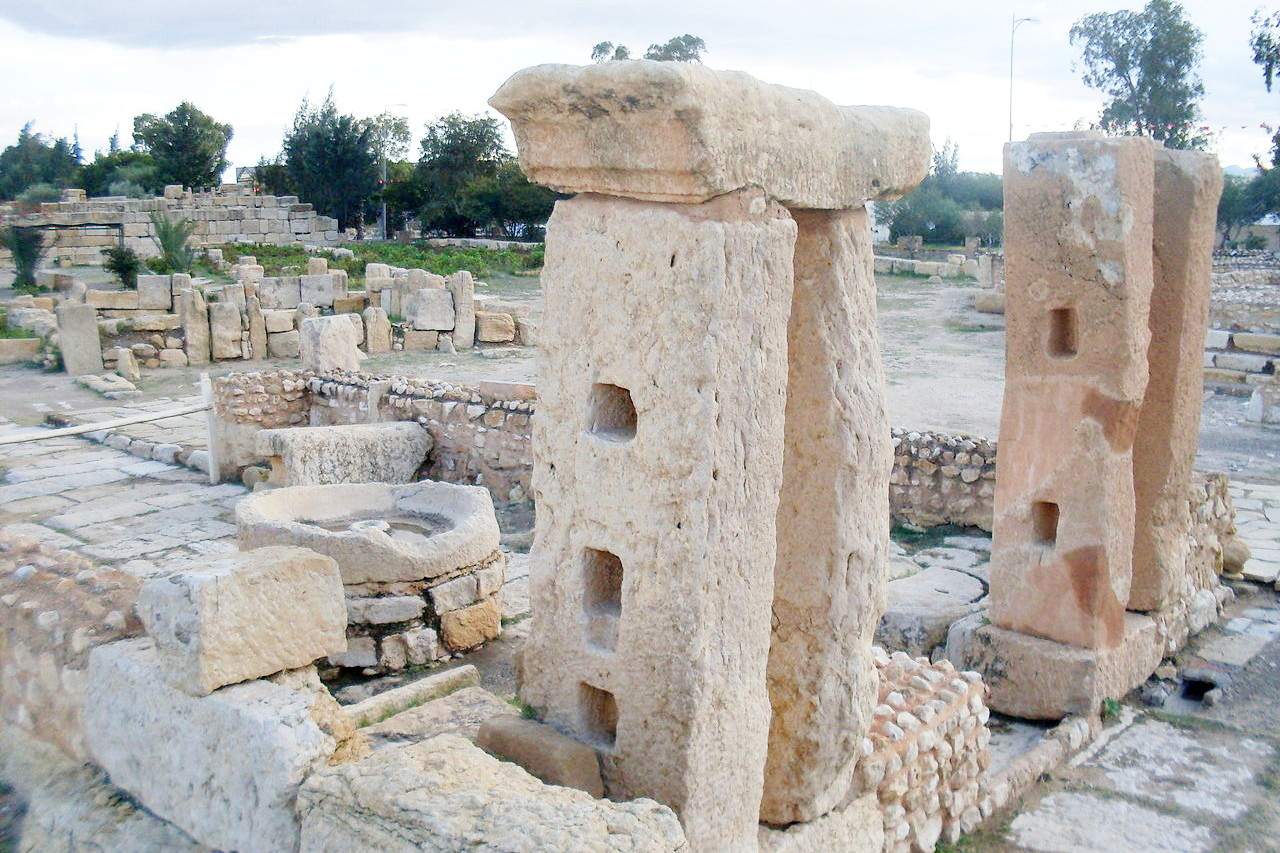
Towards the south, the capital city of Tunis is situated at the western edge of a shallow salt lagoon connected with the Bay of Tunis by a narrow channel. About 30 miles south of the city of Tunis is the picturesque mountain of Zaghouan, 1,295 meters (4,249 feet) in altitude, and whose springs once supplied water to Tunis. The Cape Bon peninsula is famous for its groves of citrus fruits, grapes, and olives.
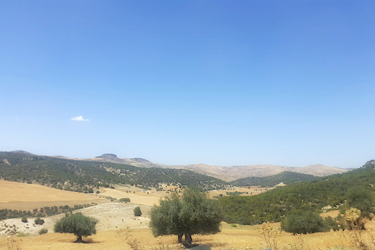
Central west
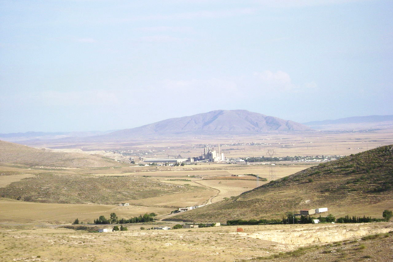
The southern half of the Tunisia's mountainous plateau encompasses much of the districts of Kasserine, Kairouan, and Sidi Bouzid. The easternmost parts of the Atlas mountains extend from Algeria north-eastwards across this central tableland. The greatest altitudes of the whole of Tunisia are attained here, where Jebel ech Chambi ascends to 1,544 meters (5,066 feet). These mountains act as a barrier to the rain-bearing clouds blown in from the Mediterranean, making the land to the south dry steppes. Annual rainfall varies between 200 and 400 millimeters (8 to 16 inches), but it is irregular, and droughts are common. The landscape is generally treeless, except in the mountains where there are pine, oak, and juniper trees. Elsewhere the land is covered with esparto grass.
Central east
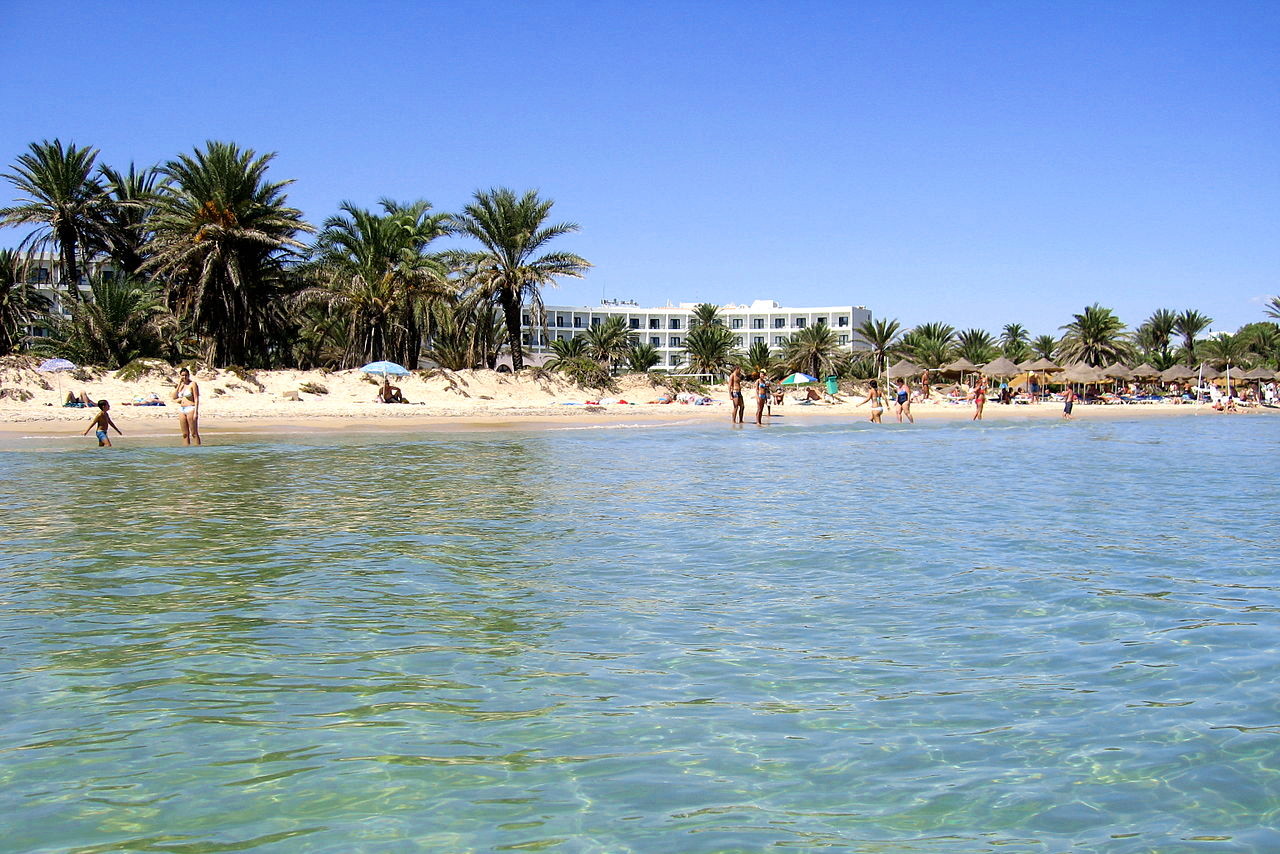
The east coast, generally referred to as the Tunisian Sahel, covers the districts of Sousse, Monastir, Mahdia, and Sfax. This is a low region about 60 miles wide, stretching from the Gulf of Hammamet to the south of Sfax. It is fairly well-watered and fertile in the north, becoming more arid in the south. This region is relatively flat, in some districts slightly marshy, and in places large shallow salt lakes are formed. All along the coast from Hammamet to Sfax there much cultivation especially of olives. A little distance inland the country has a rather wild and desolate aspect, though rarely a desert.
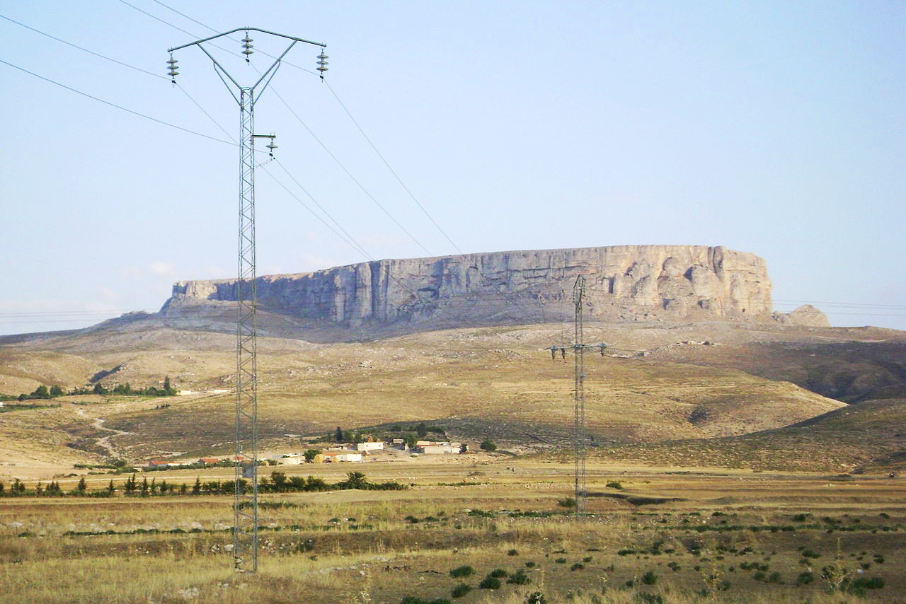
Southwest
The southwest region encompasses Gafsa, Kebili and Tozeur. Around Gafsa there are some fairly high mountains (in places verging on 1,200 meters / 4,000 feet). The rest of the region is generally low, in some places even below sea level, and containing large tracts of salt marsh, including the great salt marsh of the Djerid. The climate is dry and hot with summer temperatures frequently exceeding 40°C (100°F).
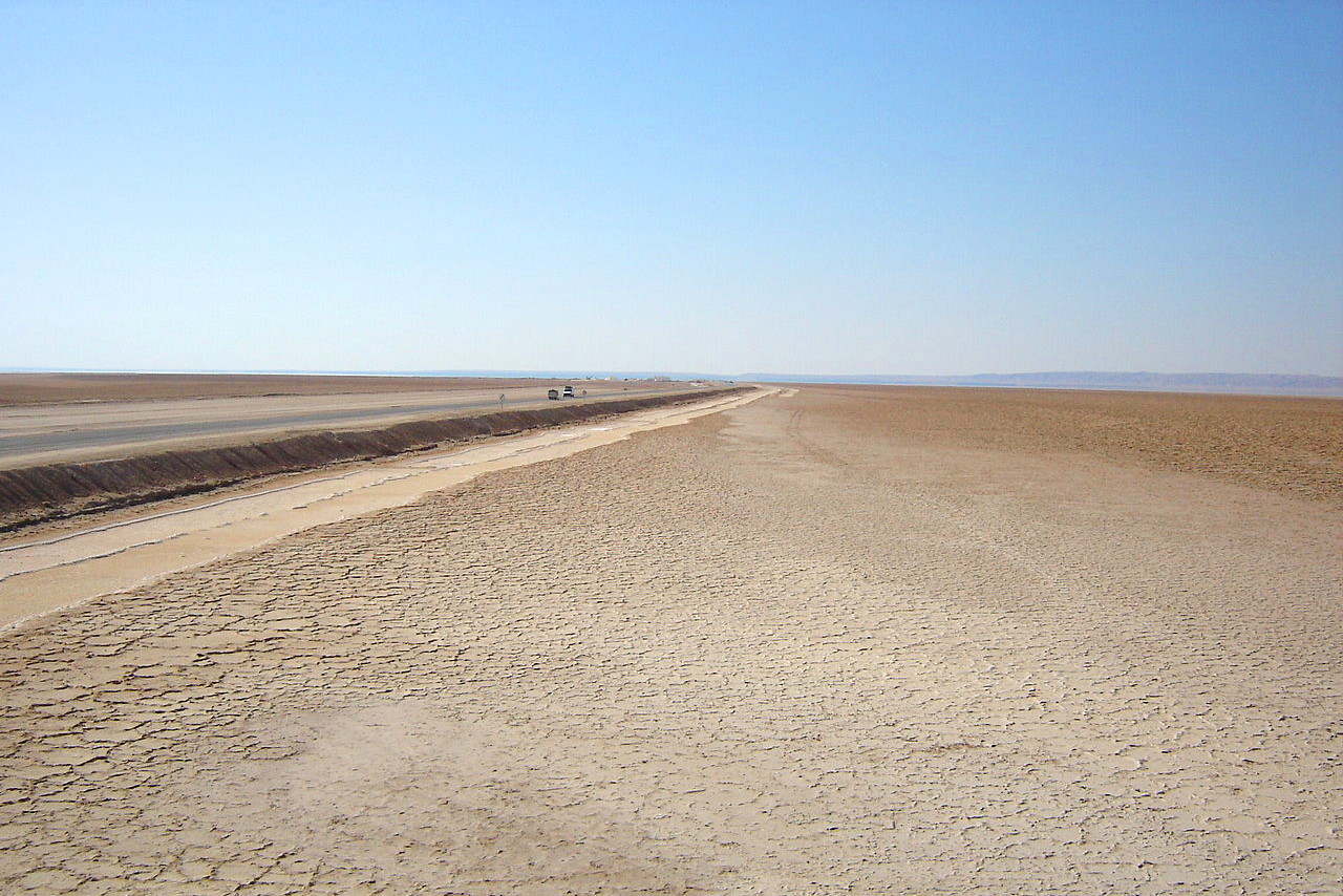
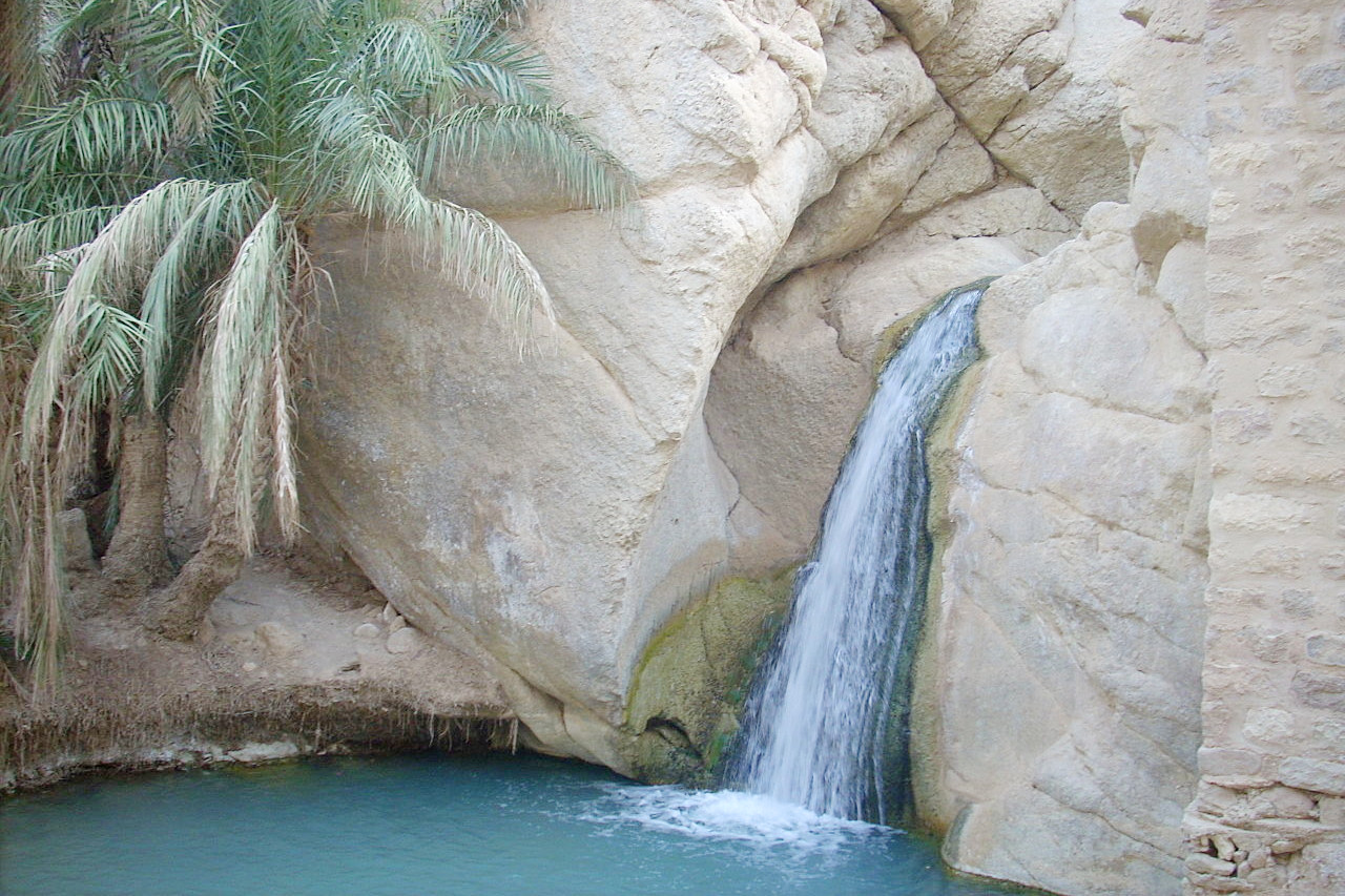
The salt lakes (or "chotts") stretch in a line from the Mediterranean to the Algerian frontier and beyond. They are for more than half the year expanses of dried mud covered with white or grey salt. After the winter rains, there may be around one meter (three feet) of water in these lakes, which by liquefying the mud makes them impassable. All round these salt lakes there are numerous springs, gushing from the sandy hillocks. Almost all these springs are at a very hot temperature, often at boiling point. Some of them are salty, others are fresh and sweet, though boiling hot. So abundant is their volume that in several places they form rivers, which are used for irrigation. This supply of fresh warm water maintains fertile oases throughout this region. Date palms grow in large numbers.
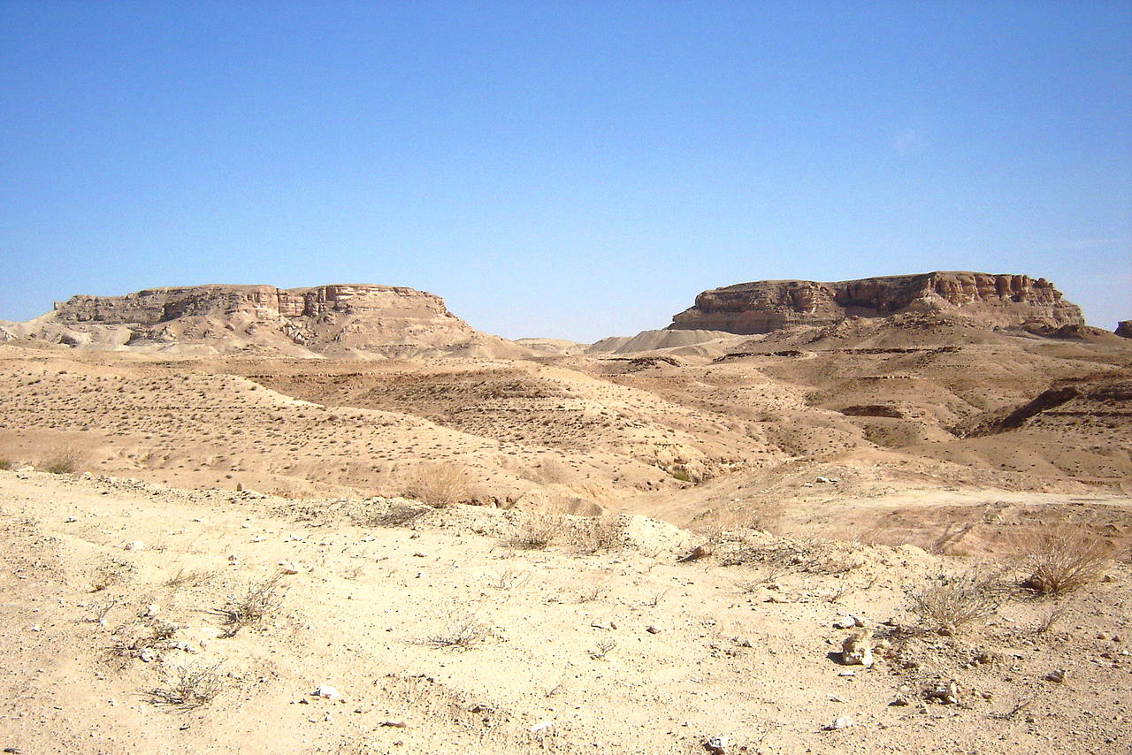
Southeast
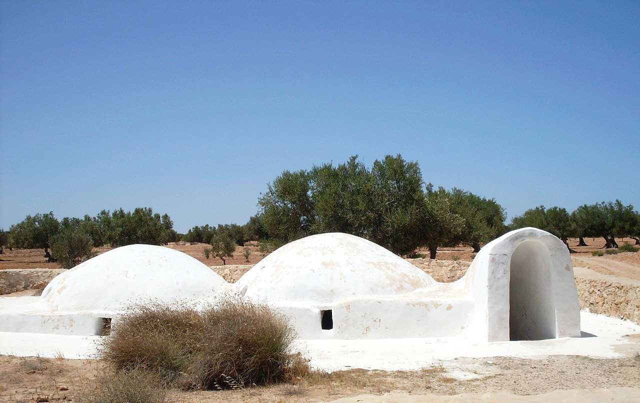
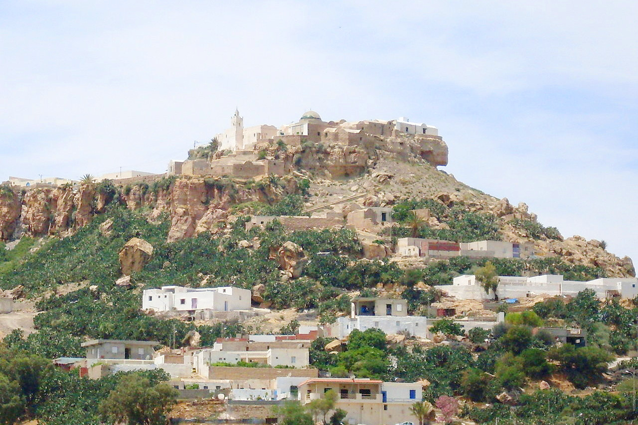
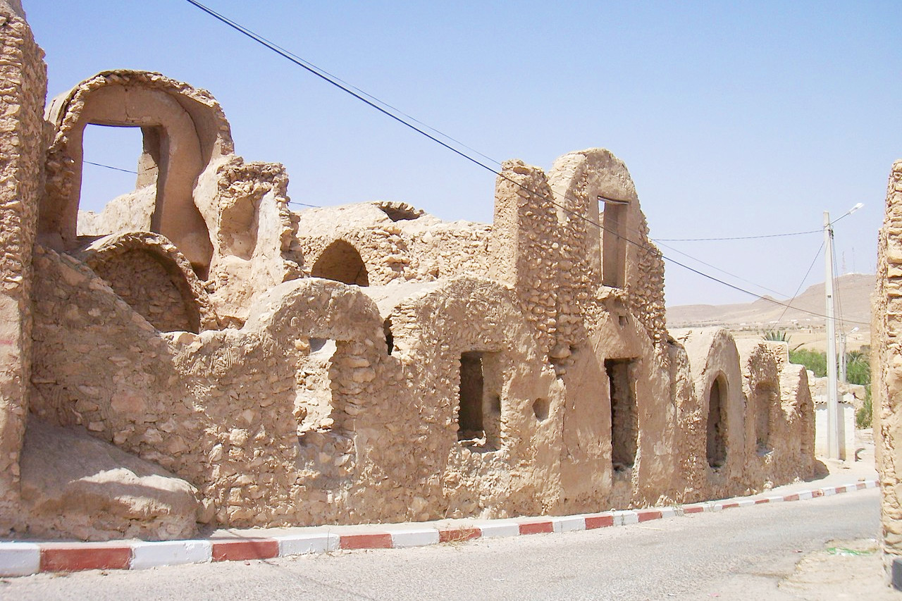
The southeast of Tunisia covers the districts of Gabès, Medenine and Tataouine. This part of Tunisia belongs to the Sahara. It is a low, sandy, desert region, with the exception of a clump of mountainous country—the eroded fragments of an ancient plateau—where there is some vegetation, grass with low juniper trees.
In the Gulf of Gabès is Tunisia's largest island—Djerba. It is separated from the mainland by two narrow straits, although nowadays it is connected by road to the mainland. The island is about 20 miles wide, it is flat and wooded with olive trees and some date palms.
What is the nature of Tunisia like?
The northwest portion of Tunisia is traversed by the Atlas Mountains, and one the whole the northern portion of Tunisia has a Mediterran climate with forests of oak, groves of olives, and fields of wheat and other crops. Towards the south Tunisia becomes steppe country and then desert.
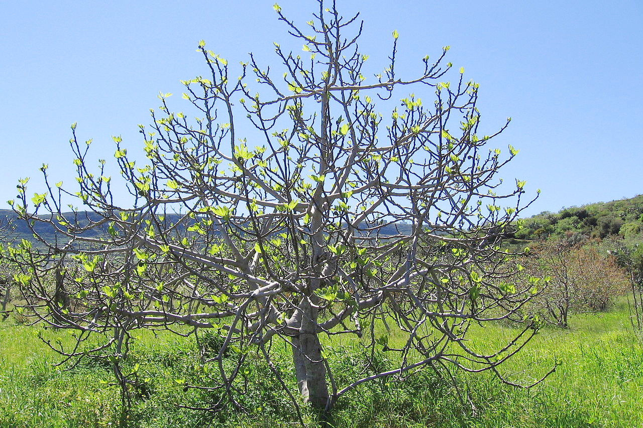
Forests can to be found in the northwest of the country and across the central plateau. The characteristic oaks are the cork oak, Algerian oak, and the Kermes oak. Coniferous trees include the Aleppo pine, poplar, cedar, thuya (Tetraclinis), and several juniper species. Smaller trees and shrubs include alder, sumac, terebinth, tamarisk, and myrtle, whilst the retama shrub grows well in sandy districts. The olive tree is cultivated extensively as is, to a lesser extent, the date palm. Fruit trees of various kinds are grown on the coast such as the fig, orange, lemon, almond, tangerine, apricot, cherry, plum, banana, apple, pear, peach, medlar, carob, chestnut, and mulberry.
Esparto grass grows wild on the high plateaus—its fibers have often been used to make cords, ropes, and baskets. In the fields and hedges of northern Tunisia are wild flowers of various kinds: iris, ferns, cyclamen, wild arum, the familiar daisy (Argyranthemum), and buttercup. The wild flowers are very beautiful during the months of February, March and April, and the fields blossom in yellow, white, and blue.
What is the climate of Tunisia like?
See our main article: The Climate of Tunisia
Tunisia has two distinct seasons. Summer runs from May to September when the weather is hot and dry. Winter runs from October to May and is cooler and wetter. Northern Tunisia has a hot Mediterranean climate. Winters are mild, rarely exceeding 20°C (68°F) and snow can fall in the mountains. Summers are hot, especially when there is a wind from the Sahara, and daytime temperatures can exceed 40°C (104°F). Southern Tunisia has a hot desert climate with summer daytime temperatures often reaching 45°C (113°F).
The rainfall averages about 550 millimeters (22 inches) in the north, and is there fairly regular. In central Tunisia the rainfall is less constant, and will not exceed 250 millimeters (10 inches). In the far south years may pass without any regular rains, after which there will come a heavy downpour with floods.
| Climate data for Tunis (1981–2010) | |||||||||||||
|---|---|---|---|---|---|---|---|---|---|---|---|---|---|
| Month | Jan | Feb | Mar | Apr | May | Jun | Jul | Aug | Sep | Oct | Nov | Dec | Year |
| Average high °C (°F) | 16.1 (61.0) | 16.8 (62.2) | 19.0 (66.2) | 21.7 (71.1) | 26.1 (79.0) | 30.6 (87.1) | 33.8 (92.8) | 34.1 (93.4) | 30.4 (86.7) | 26.5 (79.7) | 21.2 (70.2) | 17.3 (63.1) | 24.5 (76.0) |
| Daily mean °C (°F) | 11.6 (52.9) | 11.9 (53.4) | 13.8 (56.8) | 16.2 (61.2) | 20.2 (68.4) | 24.3 (75.7) | 27.2 (81.0) | 27.7 (81.9) | 24.7 (76.5) | 21.1 (70.0) | 16.3 (61.3) | 12.8 (55.0) | 19.0 (66.2) |
| Average low °C (°F) | 7.6 (45.7) | 7.7 (45.9) | 9.2 (48.6) | 11.4 (52.5) | 14.8 (58.6) | 18.6 (65.5) | 21.3 (70.3) | 22.2 (72.0) | 20.1 (68.2) | 16.8 (62.2) | 12.2 (54.0) | 8.9 (48.0) | 14.2 (57.6) |
| Average precipitation mm (inches) | 63.1 (2.48) | 49.2 (1.94) | 39.2 (1.54) | 38.5 (1.52) | 23.6 (0.93) | 12.9 (0.51) | 4.0 (0.16) | 7.1 (0.28) | 56.3 (2.22) | 47.7 (1.88) | 54.8 (2.16) | 75.2 (2.96) | 471.6 (18.58) |
| Source: NOAA | |||||||||||||
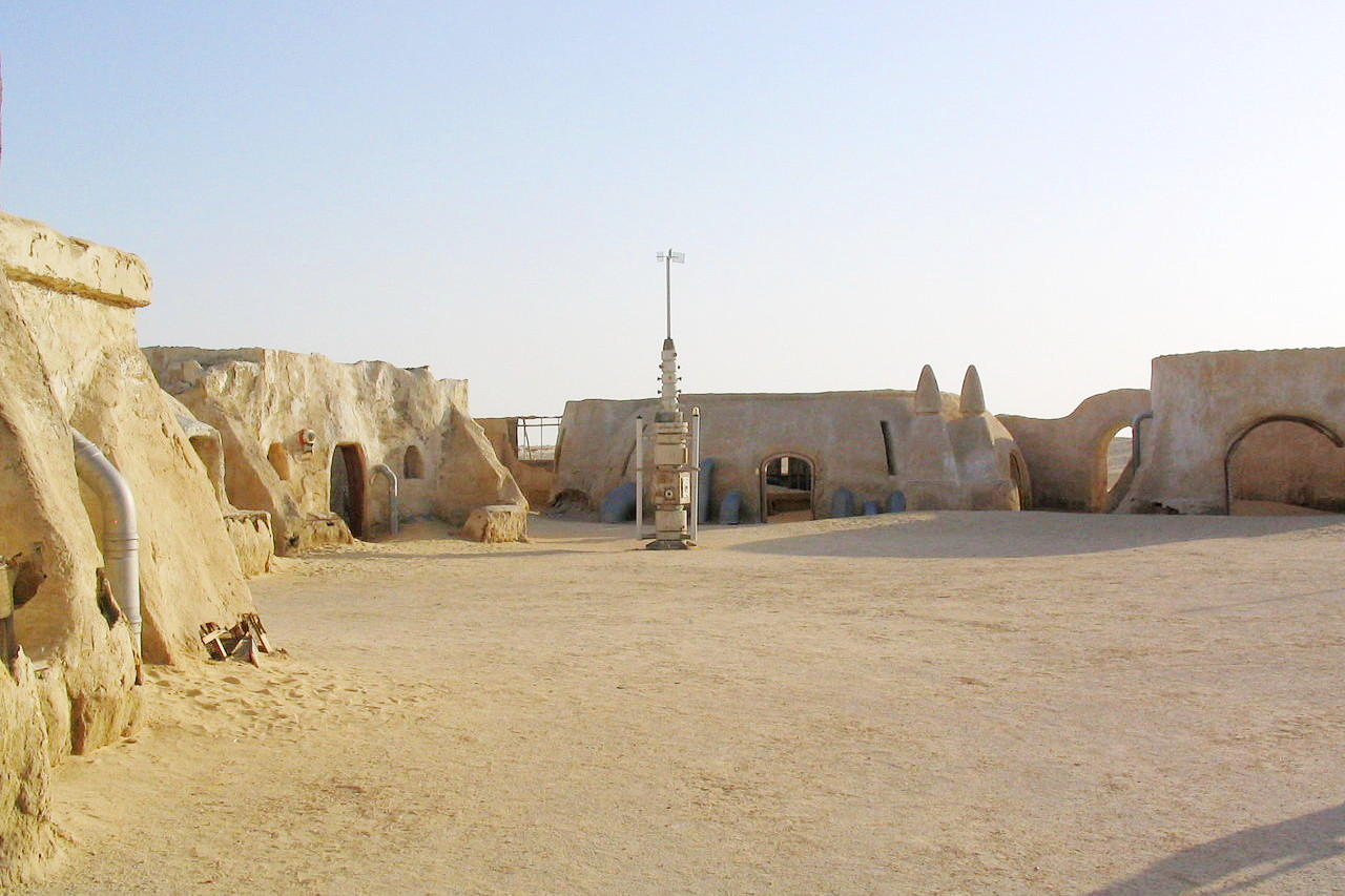 Star Wars Episode One Village, Onk Jmel, Tozeur
The official websites
Tunisia
An oasis in the Mediterranean
| Location: | Northern Africa, bordering the Mediterranean Sea, between Algeria and Libya |
| Coordinates: | 34° 00′ N, 9° 00′ E |
| Size: | • 800 km N-S; 385 km E-W • 500 miles N-S; 240 miles E-W |
| Climate: | Temperate in north with mild, rainy winters and hot, dry summers; desert in south |
| Highest point: | Jebel ech Chambi 1,544 m / 5066 ft |
| Forest: | 6.6% (2011 est.) |
| Population: | 11,721,177 (July 2020 est.) |
| Population density: | Low (71/km²) |
| Capital: | Tunis |
| Languages: | Arabic (official), French (commerce), Berber (Tamazight) |
| Human Development Index: | High (0.740) |
| Currency: | Tunisian dinar |