The Geography of
Montenegro
Why visit Montenegro?
The name Montenegro, reproduces the native name, Crna Gora, "the Black Mountain"; it is derived from the dark appearance of Mount Lovćen, the high summit of western Montenegro which was once covered in dusky pine forests.
Map
 Relief map of Montenegro
What is the landscape of Montenegro like?
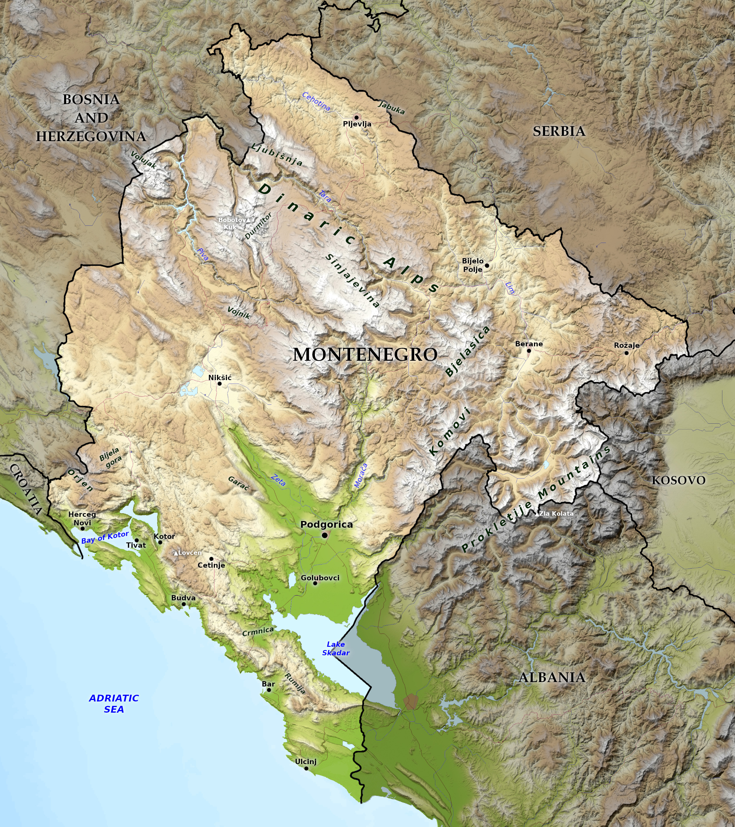
Montenegro seems at first a mere chaos of mountains. It is, however, naturally divided into four parts, each with its own character.
South
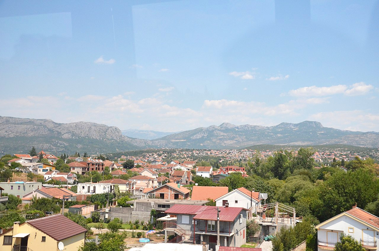
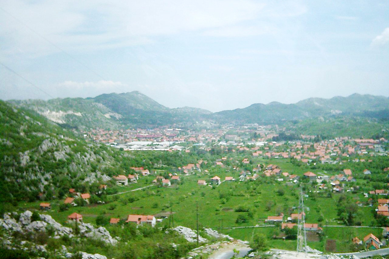
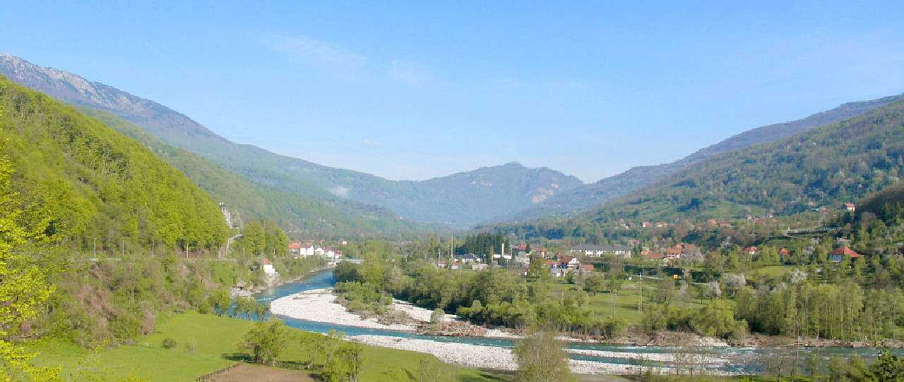
In the South, but separated from the sea, are fertile and well-watered plains around the capital city of Podgorica. The plains border the river Zeta, the valley of which is up to six miles wide, and is richly cultivated on each side of the river.
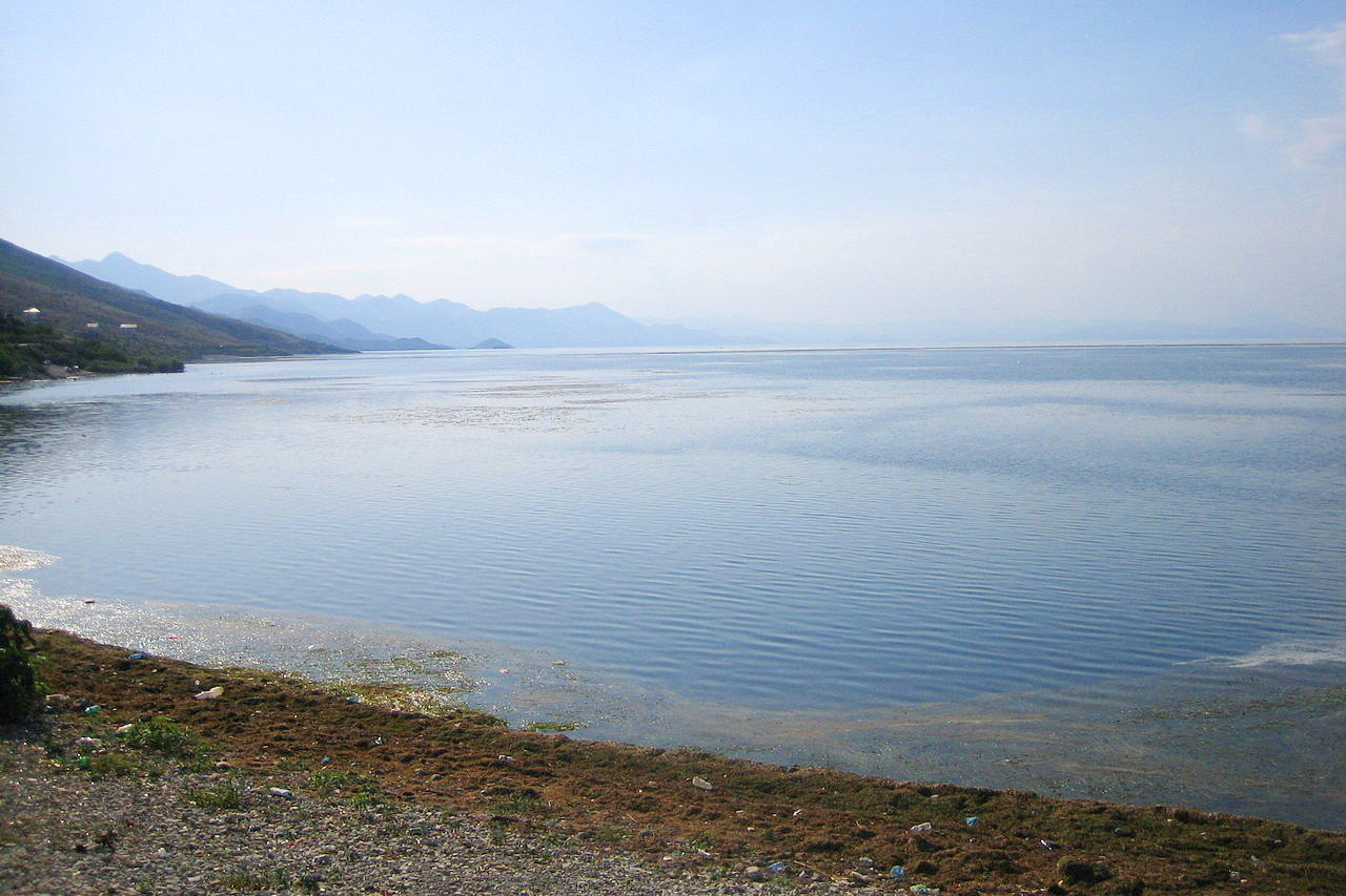
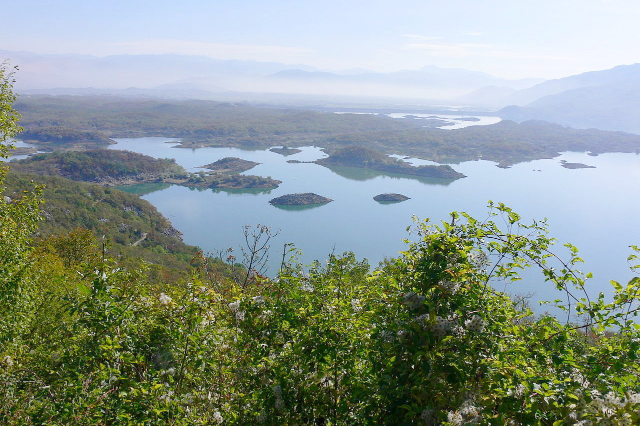
After its junction with the river Morača, the valley extends along the course of that river to Lake Skadar, a 44 kilometer (27 mile) long lake shared with Albania. It is a magnificent sheet of water with an average depth of four to six meters. The northern end is studded with islands. Between Lake Skadar and the sea is the fine pyramidal summit of Rumija at 1,594 meters (5,230 feet).
West
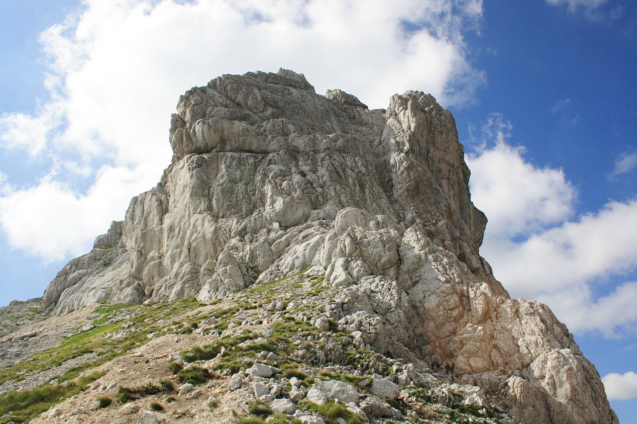
West Montenegro, under the shadow of Mount Lovćen, is "Montenegro Proper" the cradle of the Montenegro nation. It is a labyrinth of cavities, valleys, and depressions, separated by craggy limestone ridges, abounding in narrow fissures.
This region is for the most part a rocky, irregular plateau. Seen from an immense height, it resembles a vast honeycomb with thousands of cells. Valleys or gorges resembling deep chasms occur throughout the broken table-land; whilst from the rocky plateau itself solitary peaks and short irregular ridges of mountains rise to a great height above the rough base from which they spring, looking at a distance like the waves of a storm-tossed sea suddenly turned into stone. This great plateau terminates eastward at the valley of the Zeta.
Water in many places has scooped out wide valleys, whilst elsewhere it has merely succeeded in producing narrow sink-holes. After heavy rains the waters accumulate into lakes, covering fields and pastures, but ordinarily they run off rapidly through sink-holes concealed by brambles, only to reappear again near the seashore as abundant springs of bluish water. In some places the interior of the stony mass is hollowed out into galleries and caves, some of great length.
The former capital of Montenegro, Cetinje, lies in the very midst of these mountains. The plain around Cetinje is surrounded by high crags, resembling the huge crater of an extinct volcano. It is almost wholly composed of sand, as though it had once been the bed of the sea.
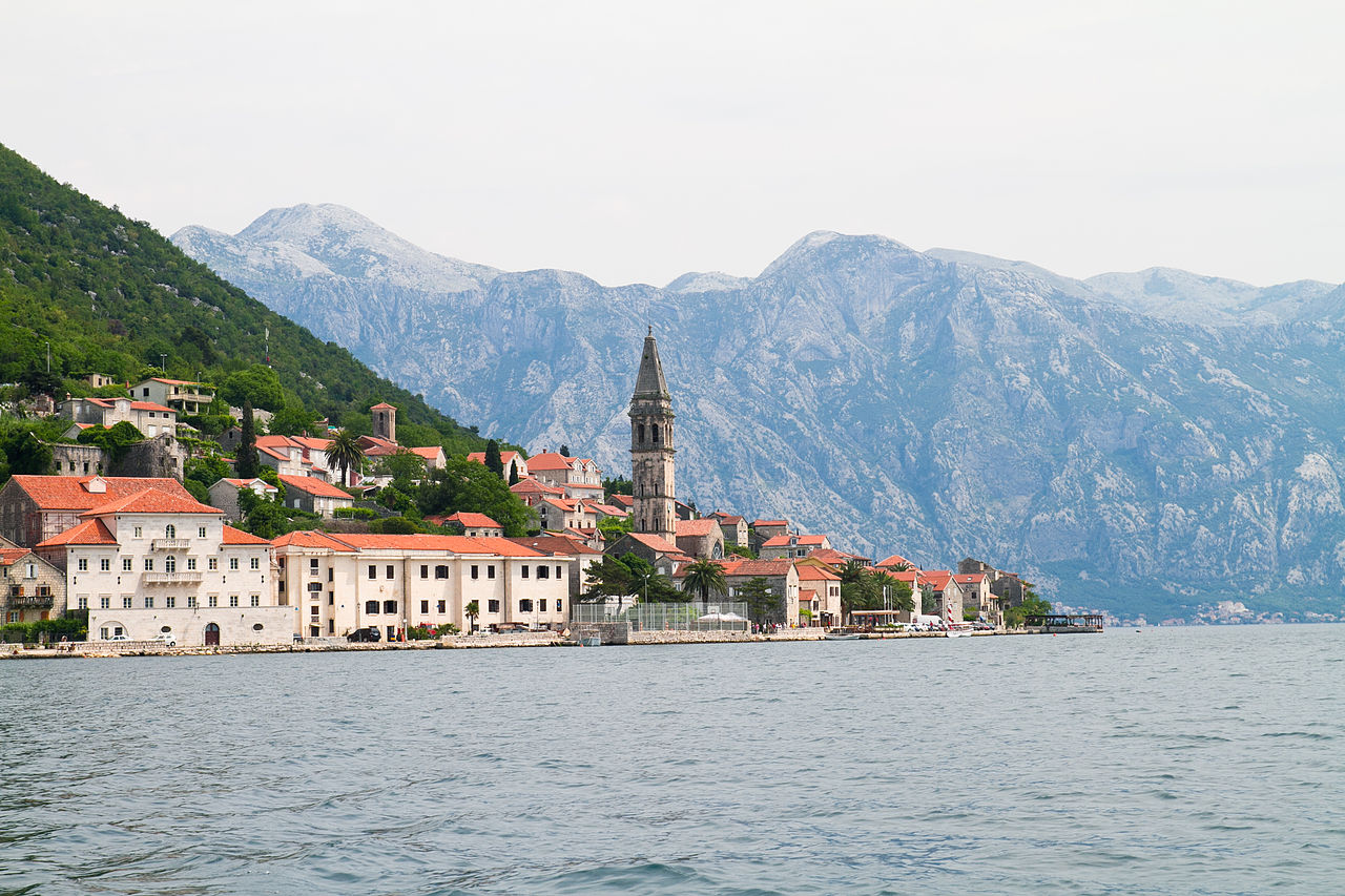
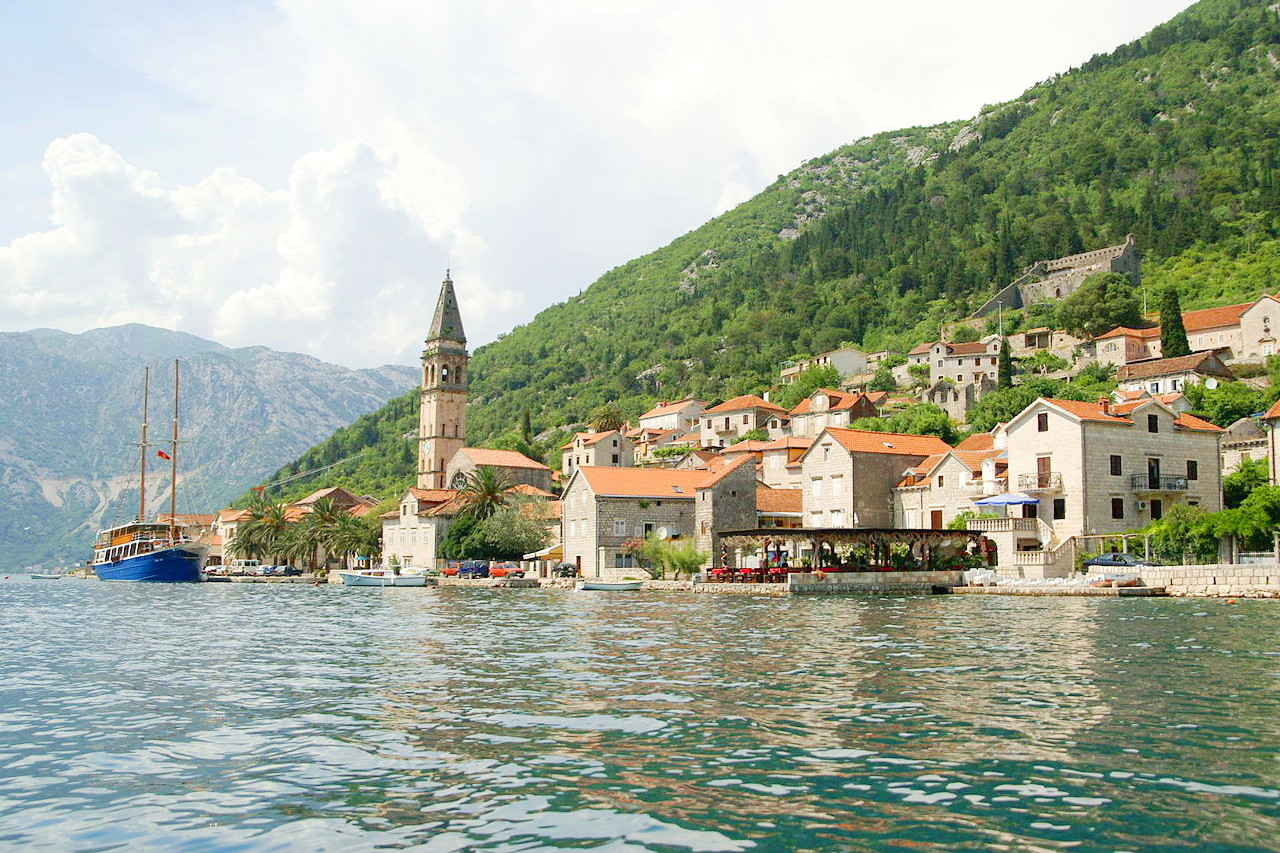
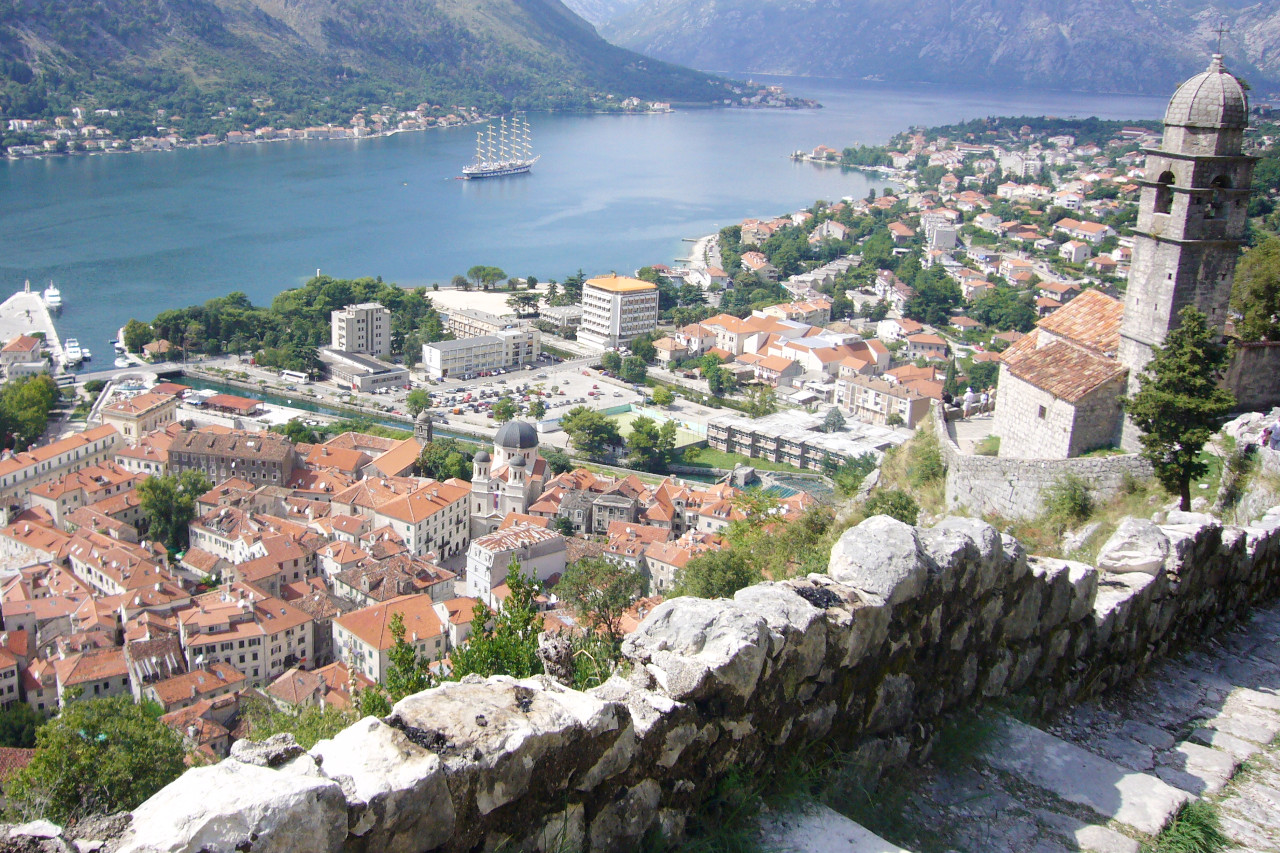
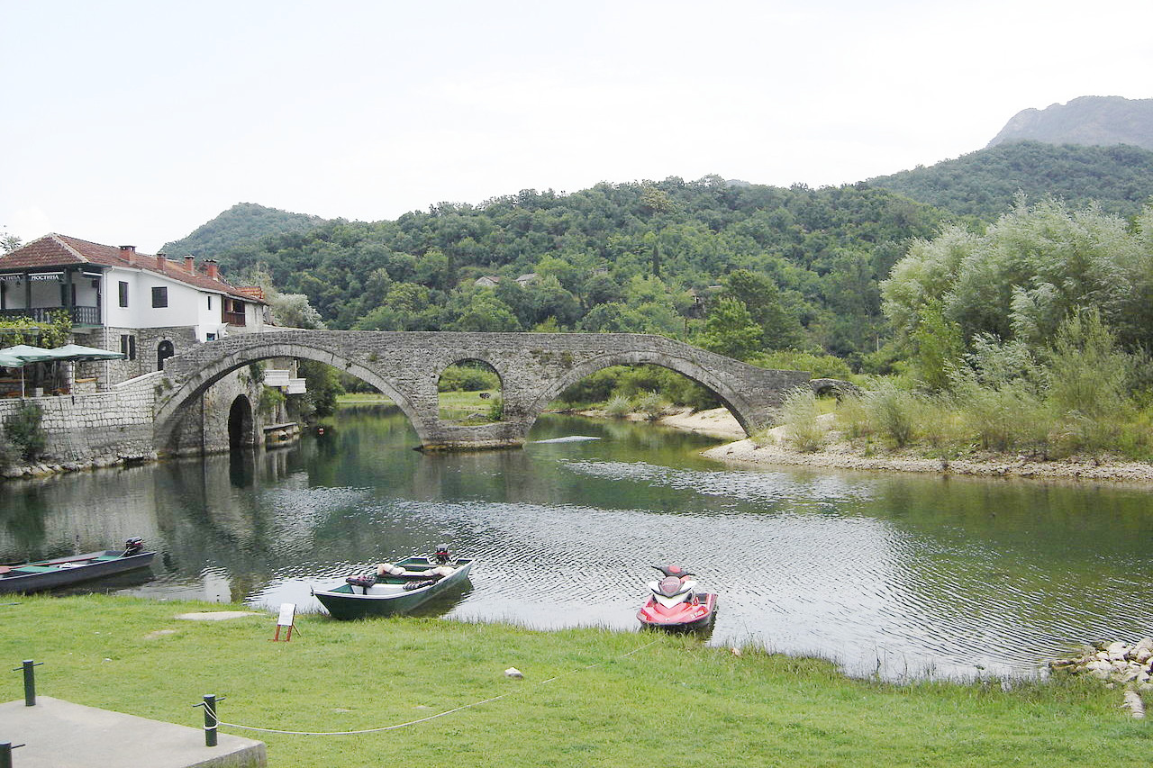
On the west is the coastal strip round the Bay of Kotor with a beautiful coast road which circles the gulf.
North
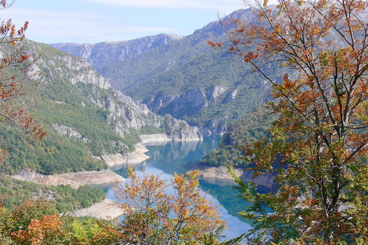
Over the entire North stretch the rich undulating landscape which is part of the Dinaric Alps which stretch all the way from Italy to Albania. The scenery recalls that of Switzerland. In the middle are finely wooded tracts extending north to the Dormitor mountain group. The mighty peaks of the Dormitor culminate at Bobotov Kuk at 2,523 meters (8,278 feet), the highest peak in the Durmitor mountains.
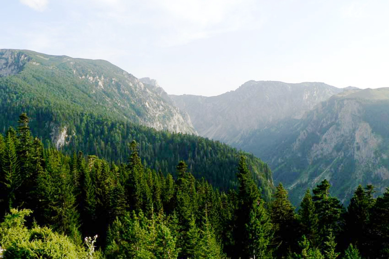
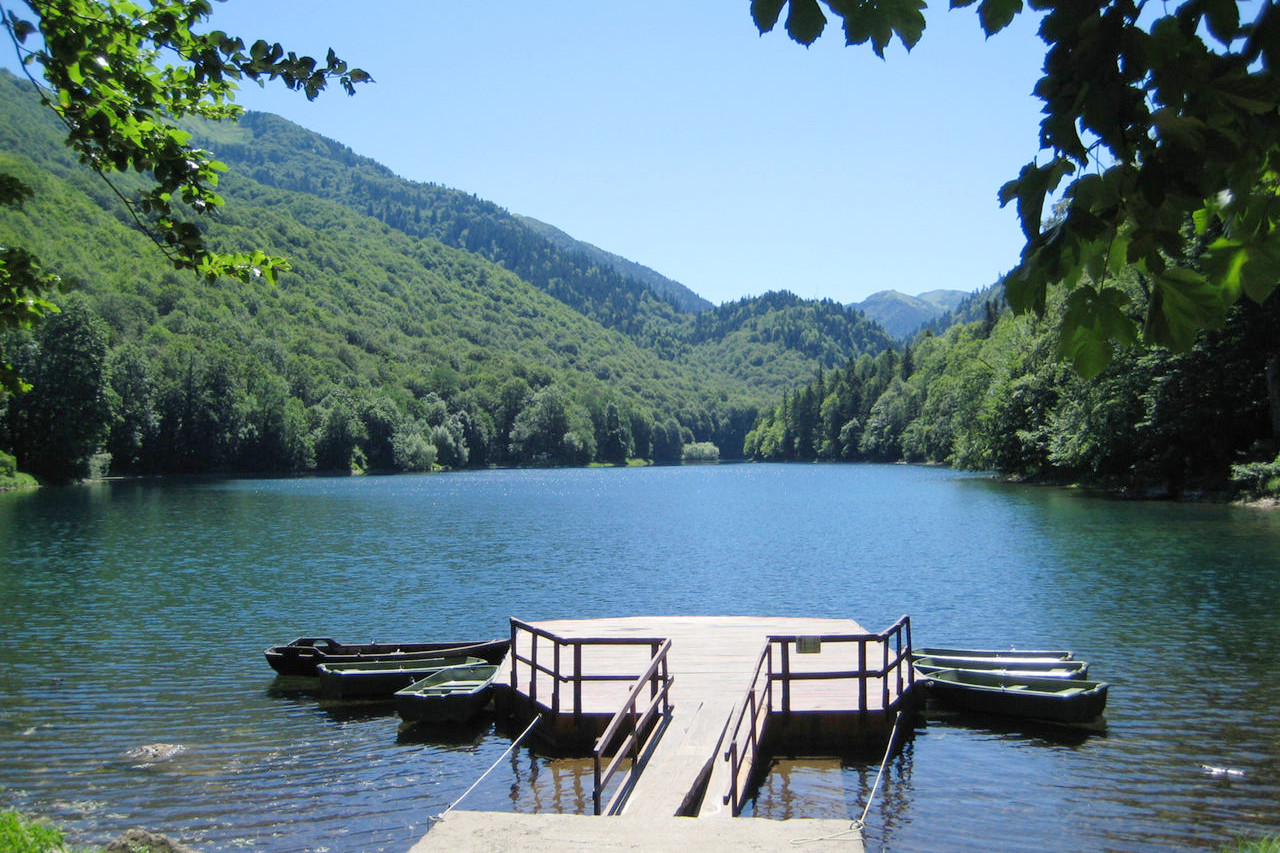
Durmitor consists of a jumble of bare limestone peaks about 15 kilometers long by 10 kilometers wide, running from north to south. These peaks are separated by gullies and screes often holding much snow. Below this there are large forests of spruce and above the spruce, of beech and scrub maple. There are few streams, but the Dormitor district contains rich grassy uplands dotted with numerous small lakes. The largest lake, the Crna Jezera ("Black Lake") is very beautiful.
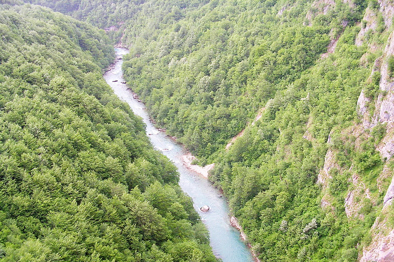
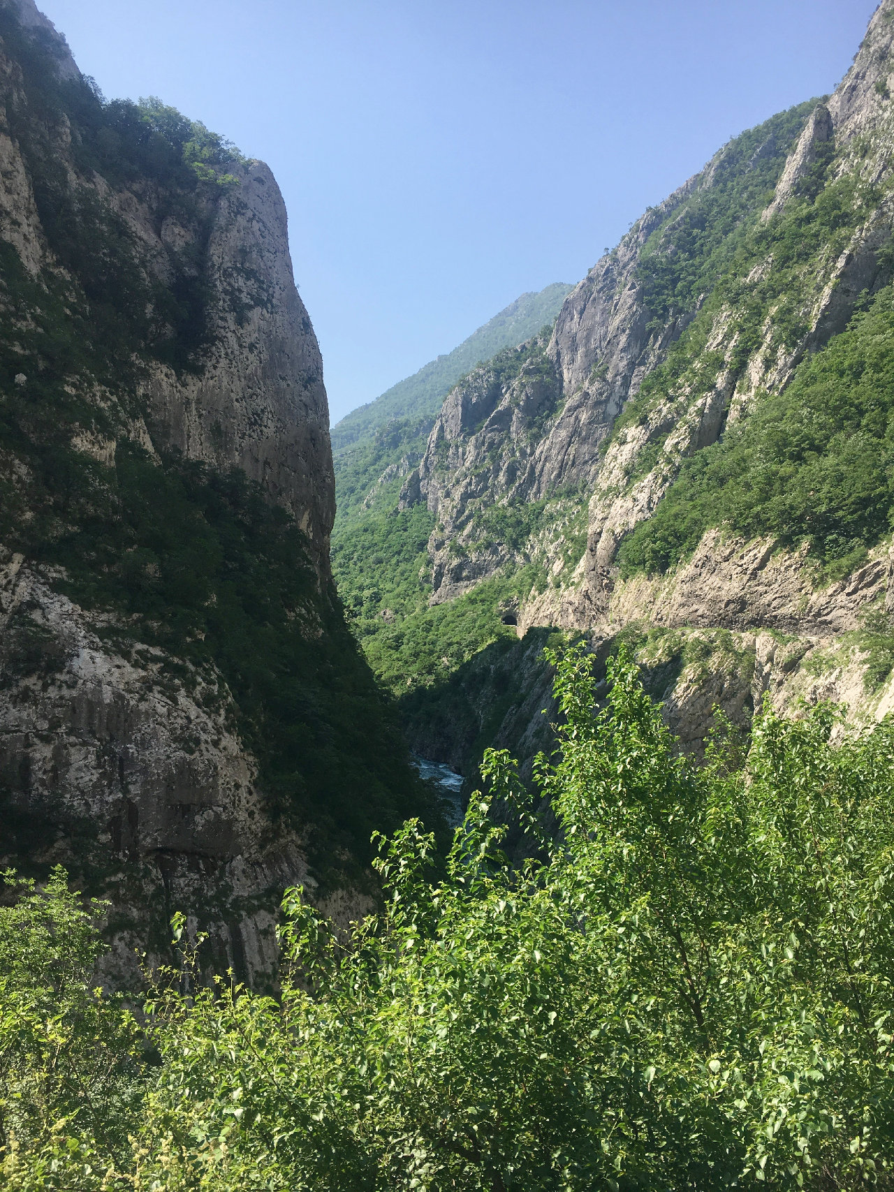
The massif is bounded on three sides by the gorges of the Piva and the Tara: the latter is said to be the deepest, as well as the longest, canyon in Europe. The Tara and Piva flow through magnificent gorges clothed with rich forests, and unite on the northwest frontier. Large tracts of hill country lie beyond the Tara to the northeast.
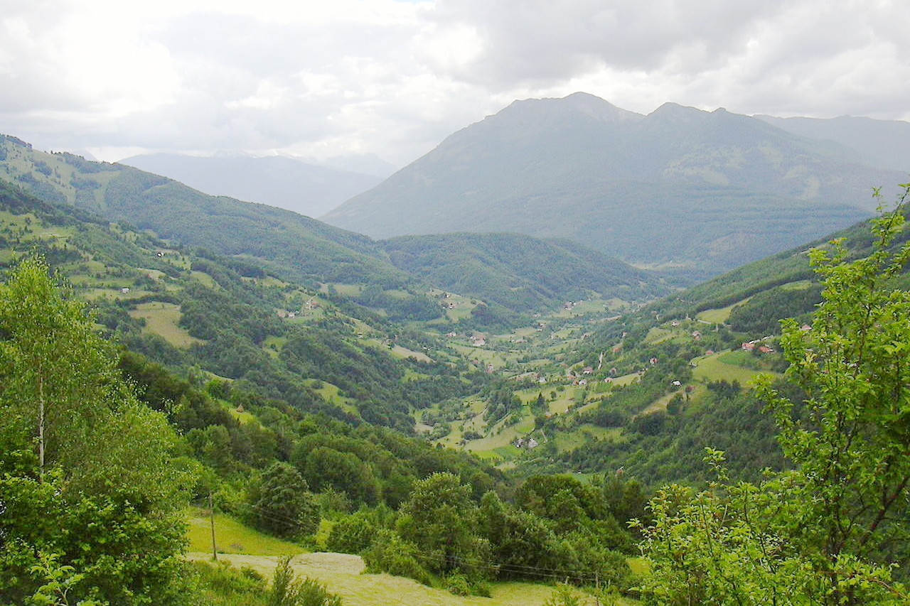
East

The East, otherwise known as the Brda, is for the most part a sub-alpine plateau of downland rather than a land of mountain ranges. It is dotted with farms and small settlements with characteristic high-pitched wooden houses. It is drained by the Morača river and its tributaries, and it is here and there broken by a succession of wild irregular valleys. The region is covered with virgin forest or Alpine pastures.
On the southeast lie the jagged dolomitic peaks of the Prokletije ("Cursed Mountains"), a high mountain range separating Montenegro from Albania and Kosovo. The range has the highest peak in Montenegro, Zla Kolata at 2,534 meters (8,314 feet).
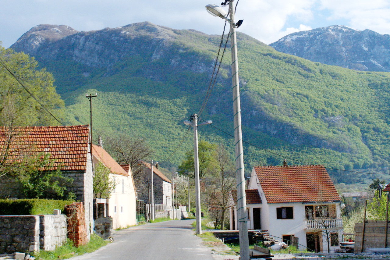
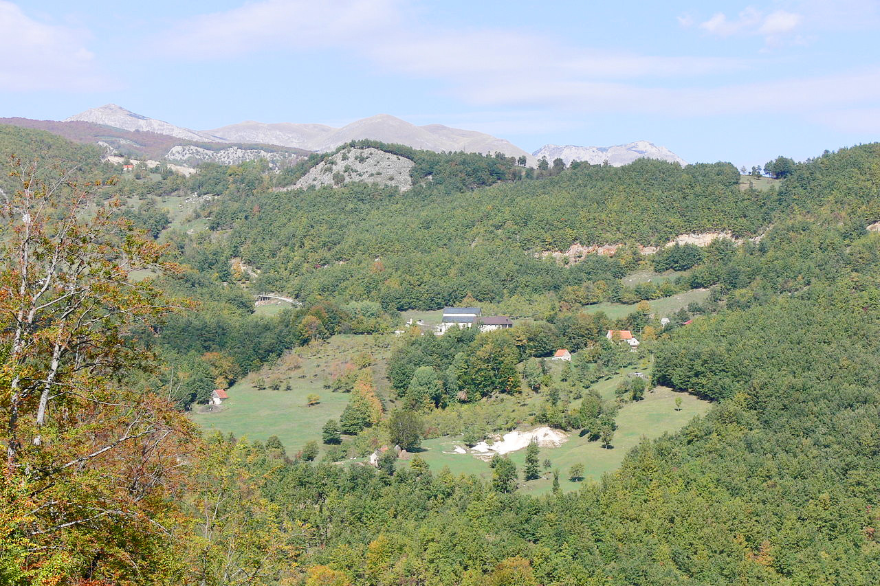
 Village of Murino, Plav Municipality
What is the nature of Montenegro like?
Montenegro is renowned for its forests. The higher slopes are covered with pine trees, which give way to Alpine vegetation above 1,800 meters (6,000 feet). Below the pine forests are forests of beech which are often the prevailing tree up to a height of about 1,500 meters (5,000 feet). At lower altitudes are the oak, walnut, wild pear, wild plum, and many other trees. The fig-tree, the mulberry, and the vine grow in the middle Zeta and Morača valleys, the myrtle, orange, laurel and olive in the lower Morača and the maritime districts.
.jpg&oldid=393948584)
.JPG&oldid=175057931)
.jpg&oldid=358883418)
.jpg&oldid=291398583)
The chestnut forms little groves in the country between the sea and Lake Skadar. Pomegranate bushes grow wild, and in many parts of the south cover the foot of the hills with dense thickets—in the spring these cover the landscape in crimson blossoms. The underwood on the hillsides consists of oak and beech scrub, arbutus, juniper, rosemary, myrtle, blackberry, and other brambles, and where the ground is not covered with these shrubs, savoury wild thyme and mint scent the air, and a profusion of clematis and other wild flowers climb the rocks on all sides.
What is the climate of Montenegro like?
See our main article: The Climate of Montenegro
Montenegro's climate varies greatly across the country. In southern lowland districts, the summers are always hot and the winters mild, and the climate can be compared with that of central Italy. In the higher regions, the mountain breezes temper the heat of summer but increase the severity of winter. Here there is much cold weather in the autumn and spring. On the highlands snow remains for most part of the year, and in some of the darker gorges it never thaws.
| Climate data for Podgorica (1991–2020) | |||||||||||||
|---|---|---|---|---|---|---|---|---|---|---|---|---|---|
| Month | Jan | Feb | Mar | Apr | May | Jun | Jul | Aug | Sep | Oct | Nov | Dec | Year |
| Average high °C (°F) | 9.9 (49.8) | 11.8 (53.2) | 15.6 (60.1) | 19.9 (67.8) | 24.7 (76.5) | 29.5 (85.1) | 32.9 (91.2) | 33.0 (91.4) | 27.2 (81.0) | 21.7 (71.1) | 16.0 (60.8) | 11.0 (51.8) | 21.1 (70.0) |
| Daily mean °C (°F) | 5.3 (41.5) | 6.8 (44.2) | 10.5 (50.9) | 14.6 (58.3) | 19.3 (66.7) | 24.0 (75.2) | 27.0 (80.6) | 27.1 (80.8) | 21.6 (70.9) | 16.3 (61.3) | 10.9 (51.6) | 6.5 (43.7) | 15.8 (60.5) |
| Average low °C (°F) | 1.6 (34.9) | 2.6 (36.7) | 5.9 (42.6) | 9.6 (49.3) | 14.0 (57.2) | 18.3 (64.9) | 21.0 (69.8) | 21.1 (70.0) | 16.5 (61.7) | 11.7 (53.1) | 6.9 (44.4) | 2.9 (37.2) | 11.0 (51.8) |
| Average precipitation mm (inches) | 191.6 (7.54) | 166.5 (6.56) | 159.0 (6.26) | 145.2 (5.72) | 89.8 (3.54) | 63.3 (2.49) | 38.5 (1.52) | 65.9 (2.59) | 119.6 (4.71) | 164.2 (6.46) | 238.5 (9.39) | 217.2 (8.55) | 1,659.3 (65.33) |
| Source: Hydrological and Meteorological Service of Montenegro | |||||||||||||
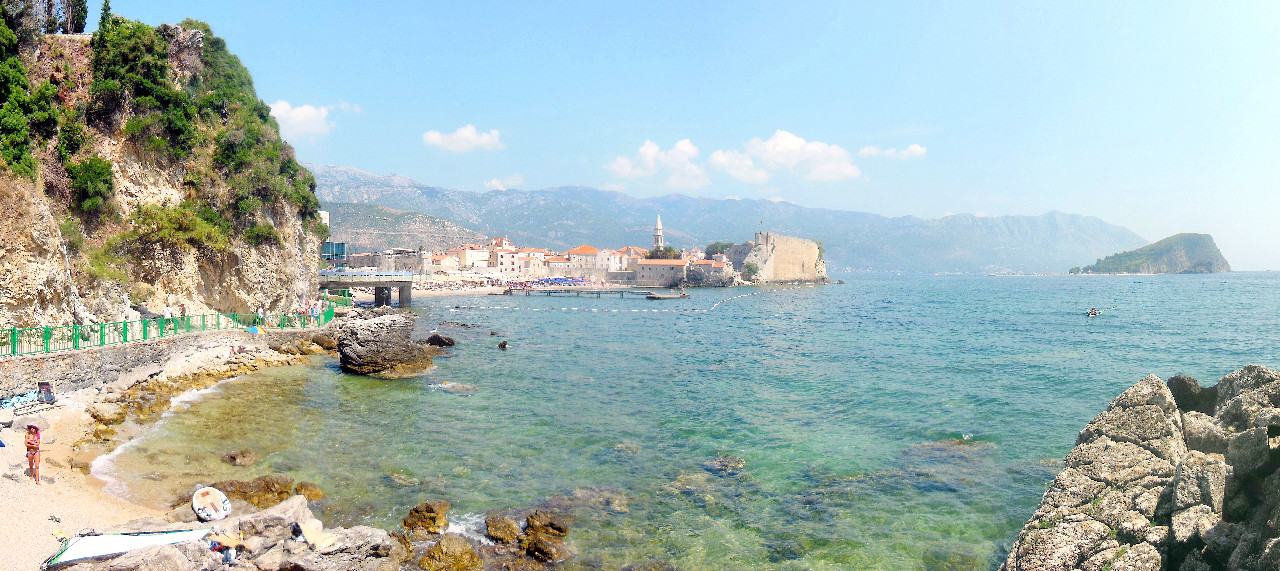 Budva Old Town and beach
The official websites
Montenegro
Wild Beauty
| Location: | Southeastern Europe, between the Adriatic Sea and Serbia |
| Coordinates: | 42° 30′ N, 19° 18′ W |
| Size: | • 130 km N-S; 110 km E-W • 80 miles N-S; 65 miles E-W |
| Terrain: | Indented coastline with narrow coastal plain backed by rugged high limestone mountains and plateaus |
| Climate: | Mediterranean climate, hot dry summers and autumns and relatively cold winters with heavy snowfall inland |
| Highest point: | Zla Kolata 2,534 m / 8,314 ft |
| Forest: | 40.4% (2011 est.) |
| Population: | 609,859 (July 2020 est.) |
| Population density: | Low (45/km²) |
| Capital: | Podgorica |
| Languages: | Serbian 42.9%, Montenegrin (official) 37%, Bosnian 5.3%, Albanian 5.3%, Serbo-Croat 2%, other 3.5% (2011 est.) |
| Human Development Index: | Very high (0.829) |
| Currency: | Euro |