The Geography of
Croatia
Why visit Croatia?
Croatia is blessed by occupying one of the world's most beautiful and unique landscapes. It is situated in an ideal crossroads setting between the Mediterranean Sea and central Europe. As a country with a long and complex history, Croatia has a lot to offer. Its many attractions include the Palace at Visoko, the Cathedral of Saint Sava in Zagreb, and the Plitvice Lakes National Park. Other attractions include Dubrovnik, Zadar, and the limestone caves of Kvarner. Croatia has beautiful mountain ranges and stunning scenery. In short, Croatia is a unique, exciting, and beautiful country that is well worth a visit.
Contents
Map
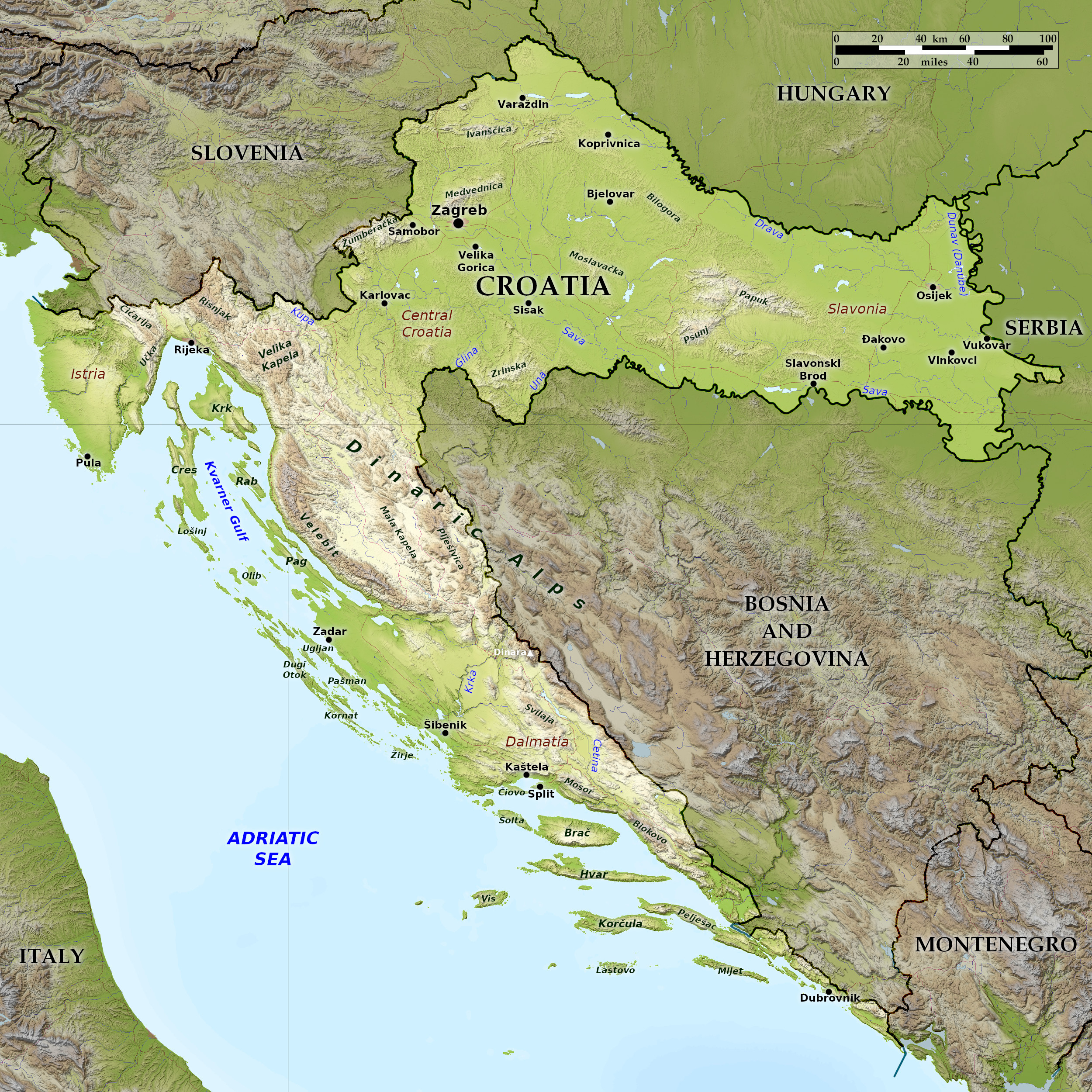 Relief map of Croatia
Croatia can be divided into three regions: the Adriatic coast, the interior highlands, and the eastern lowland plains. Each region has its different character.
What is the landscape of Croatia like?
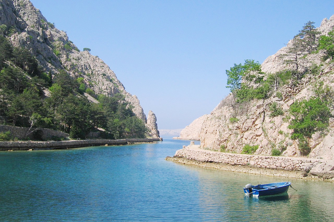
Adriatic Coast
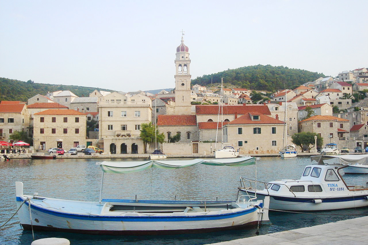
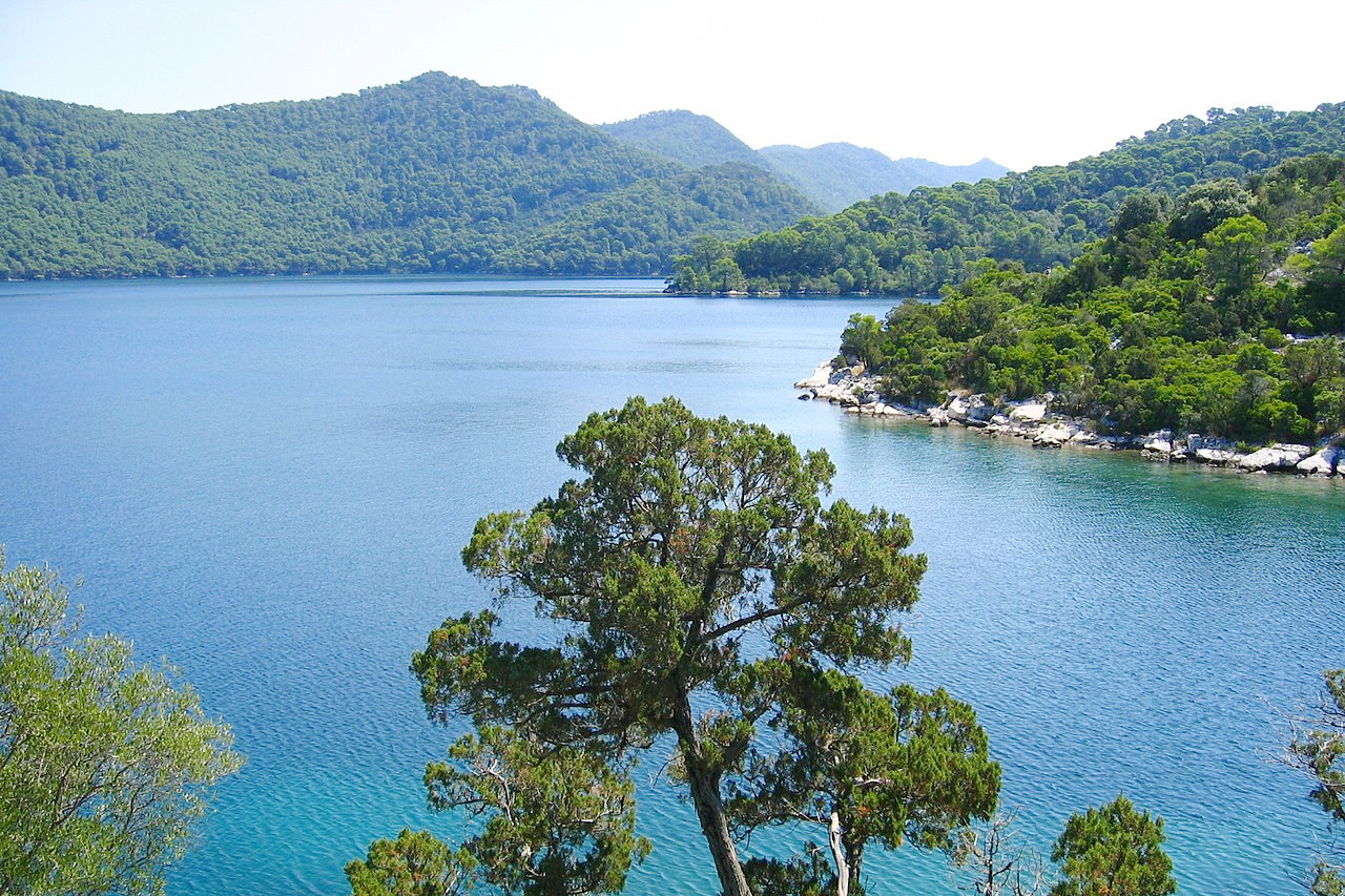
Croatia's coast is one of the world's most beautiful shorelines. It stretches the entire length of the country's western, or Adriatic, border. Although nominally the coastline only extends for 300 miles (500 km) from Slovenia to Montenegro, the coast is one of the most jagged and indented in the world. Many islands—an estimated 1,185 of them—lie scattered off the coast. Sixty-six of the islands are inhabited; others include various-sized islets, rocks, and reefs peaking above sea level. All of them, regardless of size, help to create yet another 2,500 miles (4,000 kilometers) of coastline. The largest islands are Krk and Cres. Both are located in Kvarner Gulf in the north.
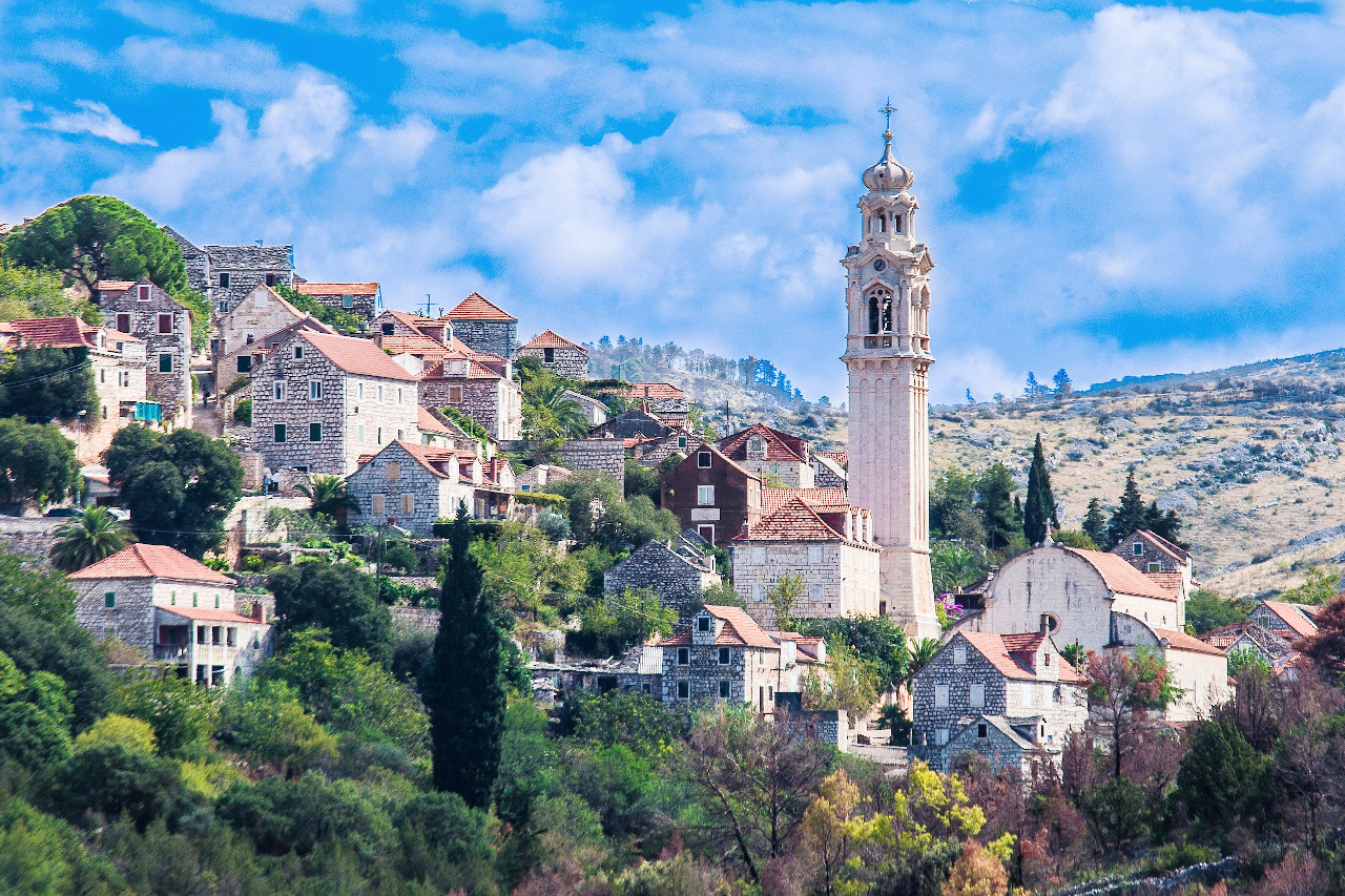
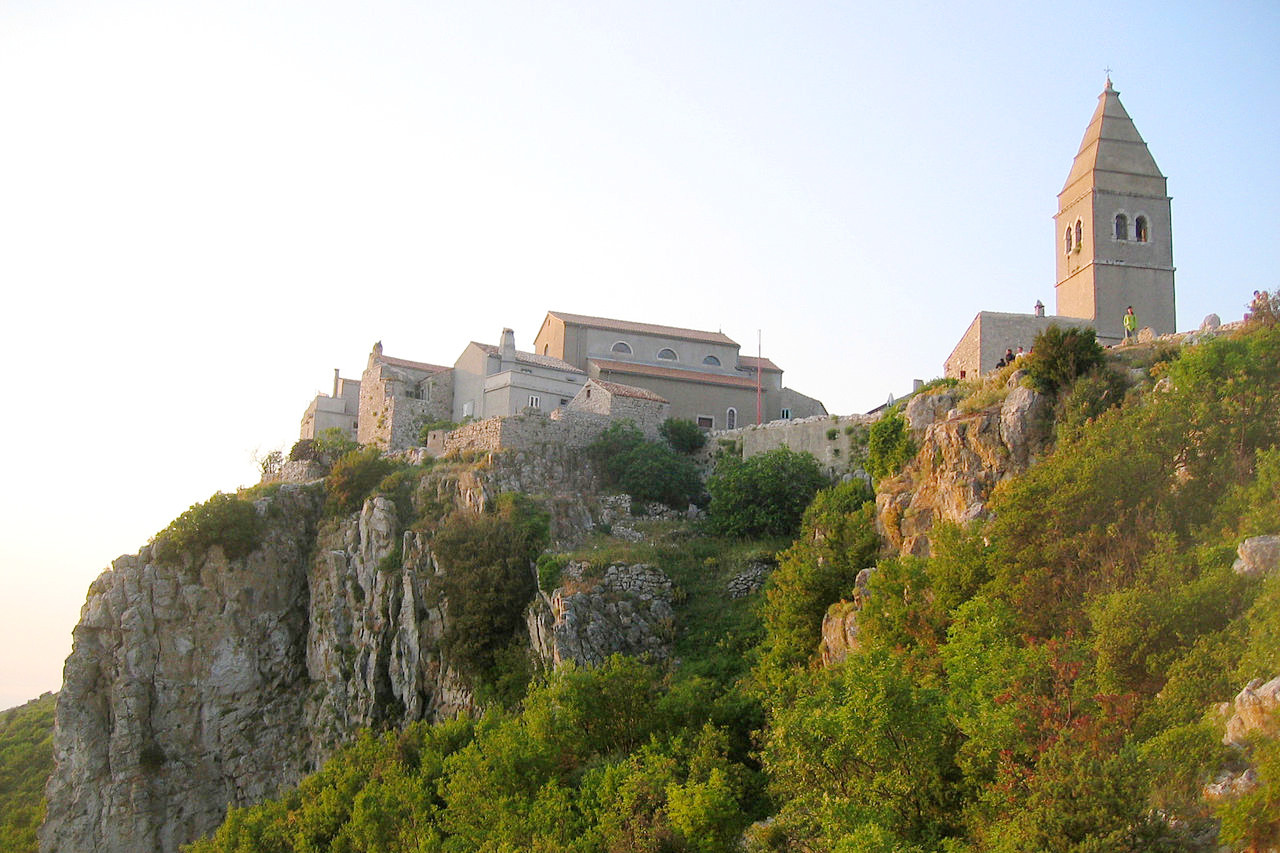
The southern coastal region, called Dalmatia, is more rugged than in the north. Here, the Dinaric Alps plunge to the coast, leaving a narrow strip of rugged land with little flat terrain. The region is somewhat remote, but the combination of sea, islands, and mountain slopes makes this one of the country's most scenic regions. The beaches, which, despite being more rocky than sandy, are among the most popular in eastern Europe.
Interior Highlands
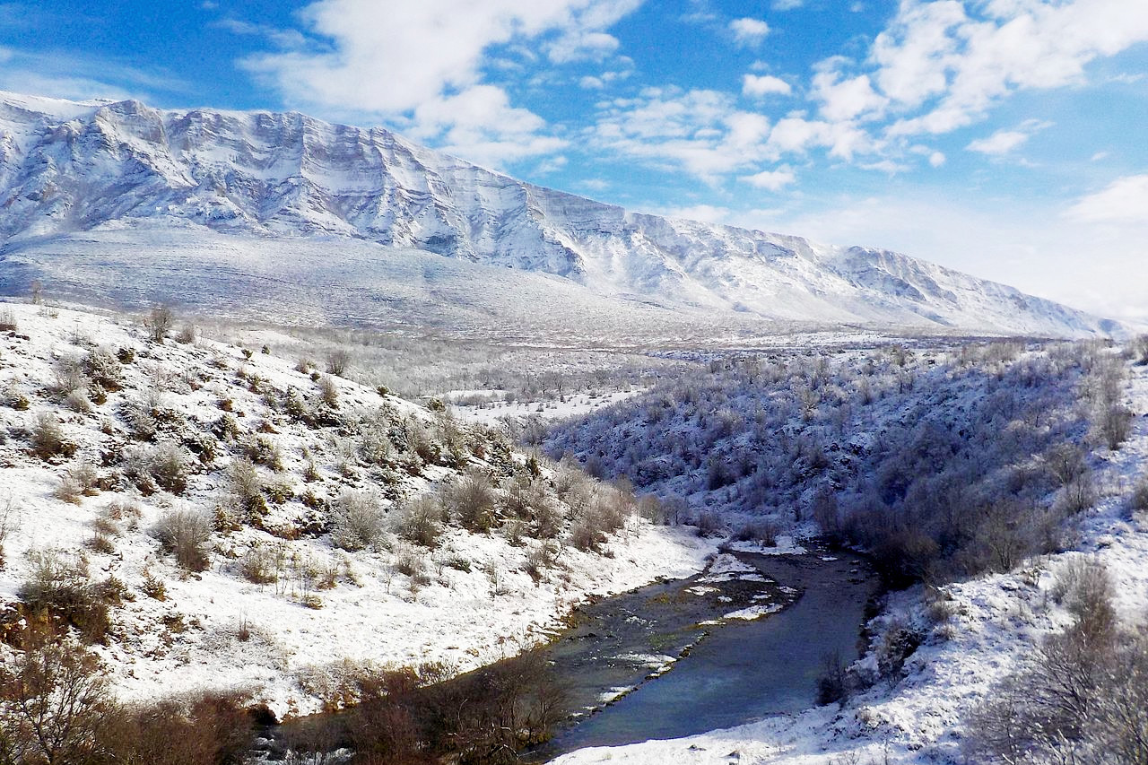
Immediately inland from the coast, the land becomes quite rugged. Here, several parallel ranges of mountains form the Dinaric Alps. The area is often called Croatia's Switzerland. Much of the region lies at elevations of between 300 and 600 meters (1,000 to 2,000 feet)—the highest peaks reaching about 1,800 meters (6,000 feet). The Dinaric Alps, near the border with Bosnia and Herzegovina, contain Croatia’s highest peak: Dinara Mountain at 1,831 meters / 6,007 feet. Croatia's mountains generally are heavily forested at their bases, with vegetation gradually decreasing until it all but disappears at the summits.
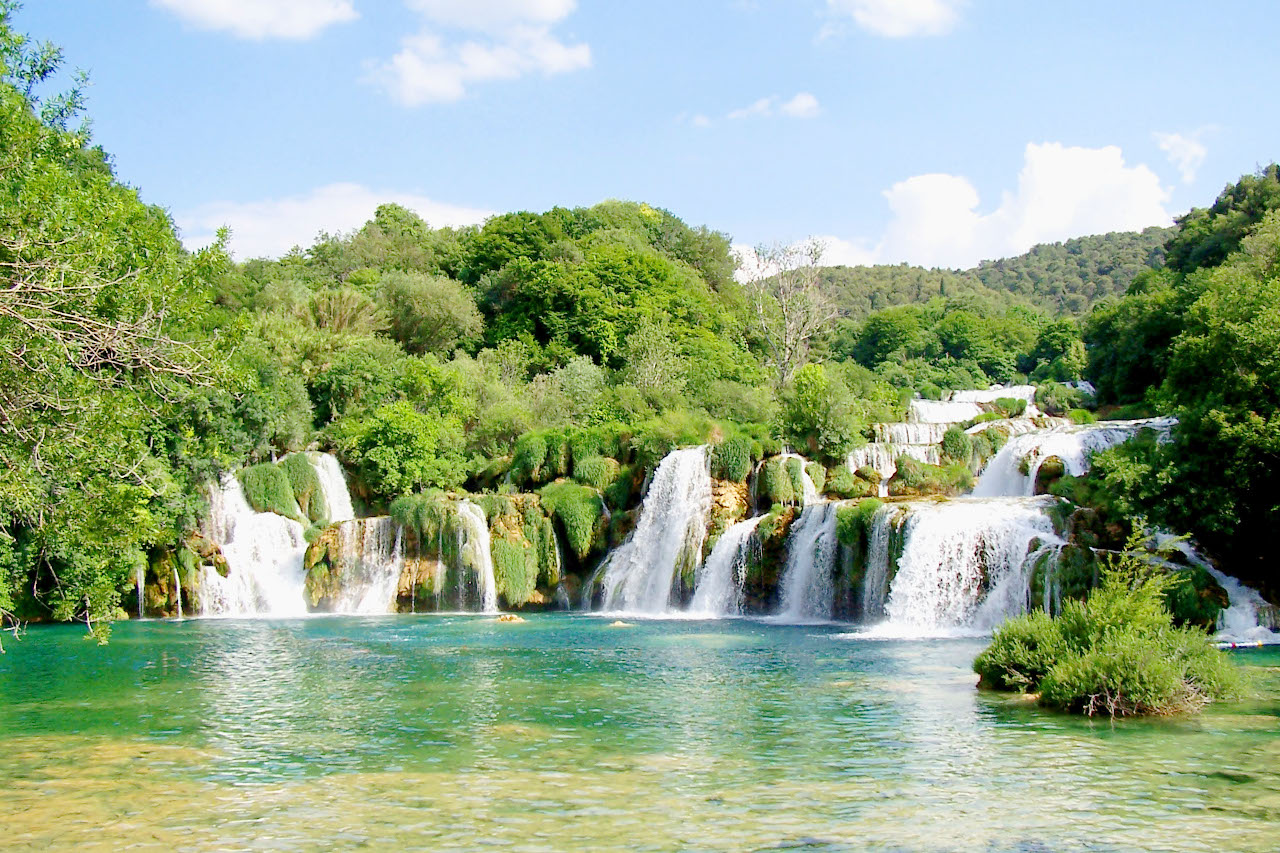
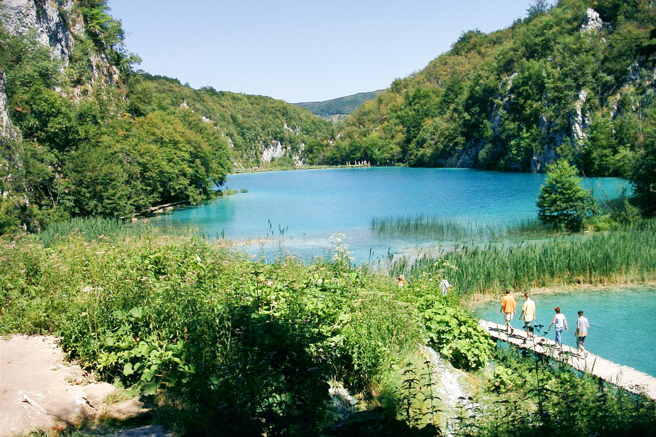
Croatia is not well known for lakes, but among sixteen of the world’s most spectacular ones are the Plitvice Lakes in the mountains. Together they form Plitvice Lakes National Park, declared in 1949. In 1979, the United Nations Educational, Scientific and Cultural Organization (UNESCO) placed the park on its World Heritage List, designating it a place of unusual beauty that must be protected.
Eastern Lowlands
Much of eastern and northeastern Croatia is relatively low and flat, with the plains broken here and there by scattered hills and low mountains. The Drava and Sava rivers, both tributaries to the mighty Danube River, drain the region, known as the Pannonian Plains (also known as Slavonia). The rich soils that make this region Croatia's most important area of farming and livestock herding. This is Croatia's breadbasket. Wheat, corn, barley, oats, potatoes, sugar beets, beans, and other produce grow in abundance. It is also where most of the country's people live.
Mountains rise in isolated parts of the plain. North of the country's capital of Zagreb, in the north central part of the plain, are the Medvednica Mountains. Also on the Pannonian Plain are two other small ranges: the Papuk Mountains, and south of them, the Psunj Mountains.
What is the nature of Croatia like?
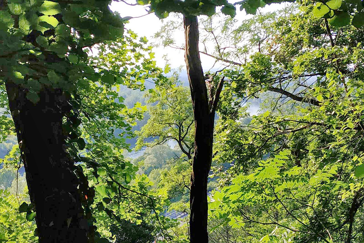
About forty percent of Croatia is woodland, much of which occurs in the mountain regions. Deciduous woodlands predominate, with varieties of oak, pine and beech being most common. Croatia’s mountains generally are heavily forested at their bases, with vegetation gradually decreasing until it all but disappears at the summits. The mountains also abound in wildlife. Large animals include bear, deer, boar, wildcat, and wild sheep. There also are hare, fox, lynx, and wolves. Many species of birds are also found in the region.
What is the climate of Croatia like?
See our main article: The Climate of Croatia
Croatia enjoys a relatively mild climate, one that lacks extremes of high and low temperatures. In the west, along the coast and in the western highlands, the climate is a Mediterranean one. Summers are warm, but not uncomfortably hot, and there is plenty of sunshine; winters tend to be quite mild. The mountains are cooler—here the rainfall is more equally spread out through the year and heavy winter snow is common. In the eastern lowland plains the climate is a continental one—summers are hot and humid, and winters are cool to cold.
| Climate data for Zagreb (1971–2000) | |||||||||||||
|---|---|---|---|---|---|---|---|---|---|---|---|---|---|
| Month | Jan | Feb | Mar | Apr | May | Jun | Jul | Aug | Sep | Oct | Nov | Dec | Year |
| Average high °C (°F) | 3.7 (38.7) | 6.8 (44.2) | 11.9 (53.4) | 16.3 (61.3) | 21.5 (70.7) | 24.5 (76.1) | 26.7 (80.1) | 26.3 (79.3) | 22.1 (71.8) | 15.8 (60.4) | 8.9 (48.0) | 4.6 (40.3) | 15.8 (60.4) |
| Daily mean °C (°F) | 0.3 (32.5) | 2.3 (36.1) | 6.4 (43.5) | 10.7 (51.3) | 15.8 (60.4) | 18.8 (65.8) | 20.6 (69.1) | 20.1 (68.2) | 15.9 (60.6) | 10.5 (50.9) | 5.0 (41.0) | 1.4 (34.5) | 10.7 (51.3) |
| Average low °C (°F) | −3.0 (26.6) | −1.8 (28.8) | 1.6 (34.9) | 5.2 (41.4) | 9.8 (49.6) | 13.0 (55.4) | 14.7 (58.5) | 14.4 (57.9) | 10.8 (51.4) | 6.2 (43.2) | 1.4 (34.5) | −1.7 (28.9) | 5.9 (42.6) |
| Average precipitation mm (inches) | 43.2 (1.70) | 38.9 (1.53) | 52.6 (2.07) | 59.3 (2.33) | 72.6 (2.86) | 95.3 (3.75) | 77.4 (3.05) | 92.3 (3.63) | 85.8 (3.38) | 82.9 (3.26) | 80.1 (3.15) | 59.6 (2.35) | 840.1 (33.07) |
| Source: Croatian Meteorological and Hydrological Service | |||||||||||||
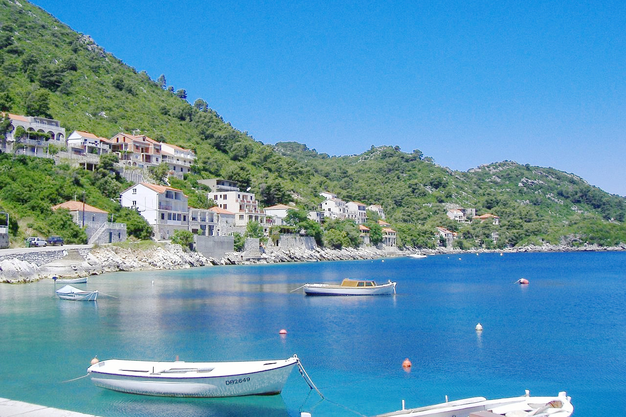
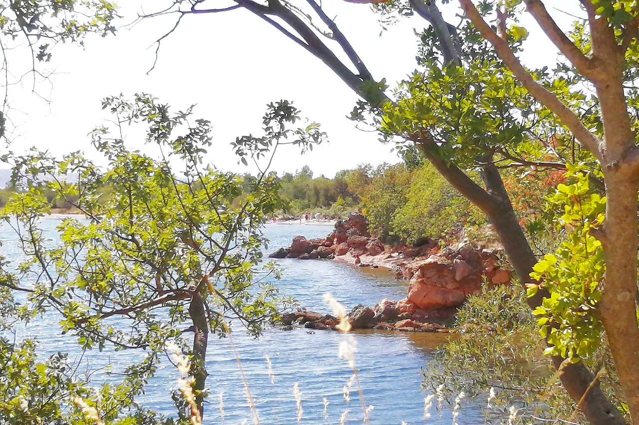
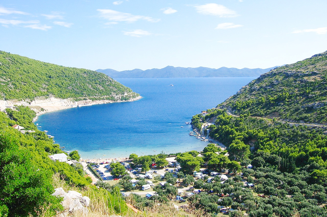 Prapratno, a port village on the Pelješac peninsula
The official websites
Croatia
A taste of Mediterranean magic
| Location: | Southeastern Europe, on the shores of the Adriatic Sea |
| Coordinates: | 45° 15′ N, 16° 30′ E |
| Size: | • 455 km N-S; 465 km E-W • 280 miles N-S; 290 miles E-W |
| Terrain: | A long coast with many islands; a mountainous central region; and plains in eastern and northwestern Croatia |
| Climate: | A Mediterranean climate in the west with warm summers and cool winters. A continental climate in the east with hotter summers and colder winters |
| Highest point: | Dinara 1831 m / 6007 ft |
| Forest: | 41% (2010 est.) (source) |
| Population: | 3,888,529 (2021 est.) |
| Population density: | Low (73/km²) |
| Capital: | Zagreb |
| Languages: | Croatian; Others include: Czech, Hungarian, Italian, Ruthenian, Serbian, Slovak |
| Human Development Index: | Very High (0.0851) |
| Currency: | Kuna |