The Geography of
Slovakia
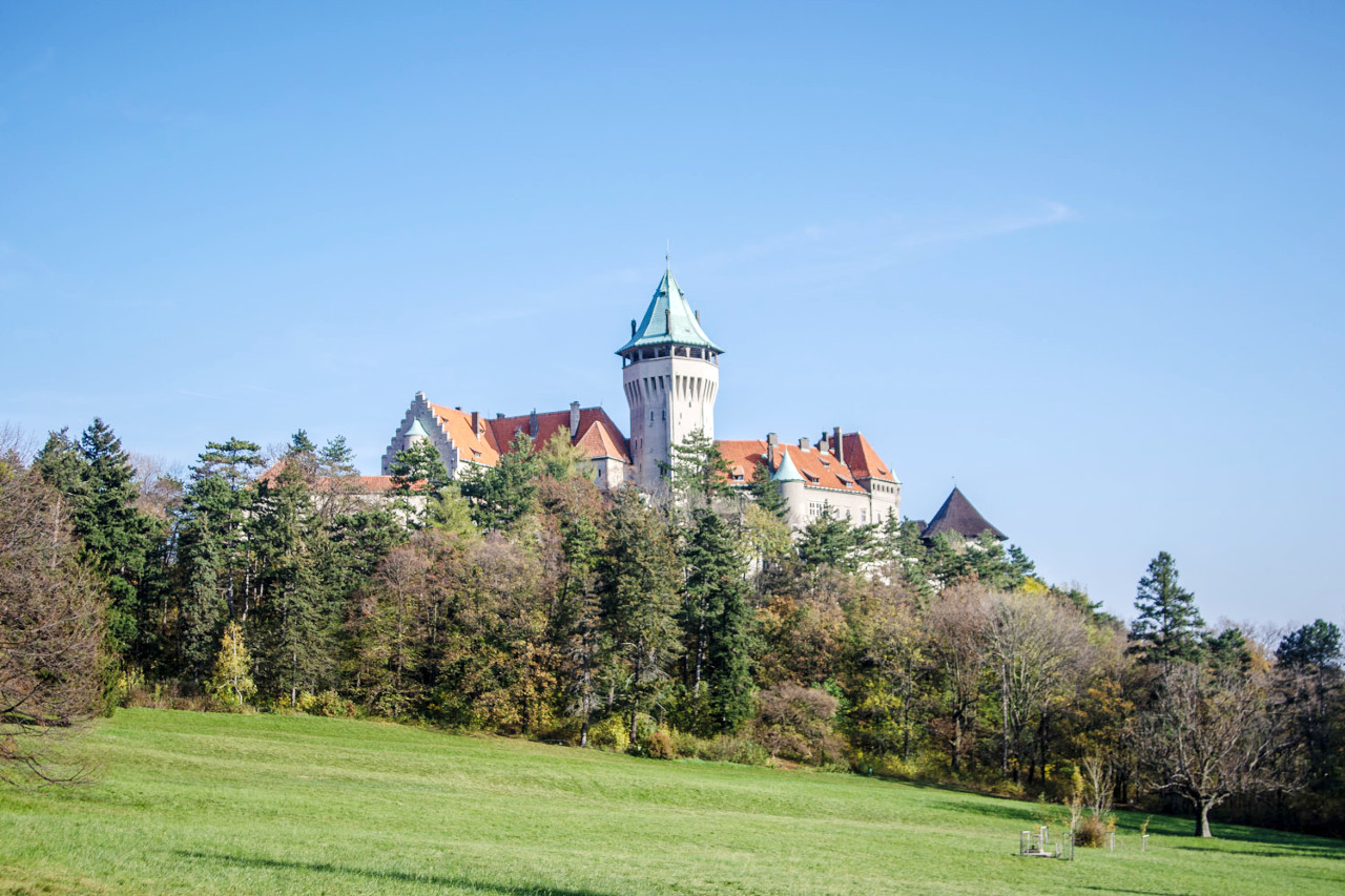
Why visit Slovakia?
Slovakia is a beautiful country with an amazing history. The people are warm and welcoming, the countryside is picturesque, and the cities have plenty to offer. Slovakia has many interesting places to visit including some of Europe's most famous tourist destinations such as Bratislava, Košice and Štúrova Vrata. The best things to do in Slovakia include visiting stunning natural sites such as the Lesser and Greater Tatra mountain ranges and exploring unique historical towns and villages. With its rich culture and diverse landscape, Slovakia offers something for everyone who loves nature!
Map
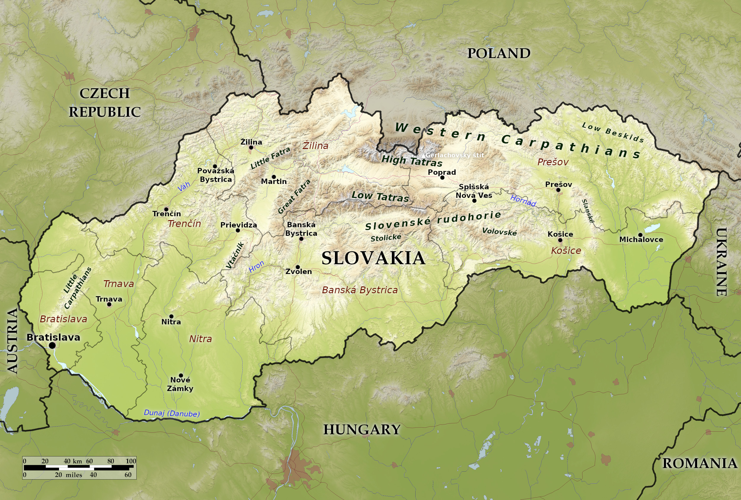 Relief map of Slovakia
What is the landscape of Slovakia like?
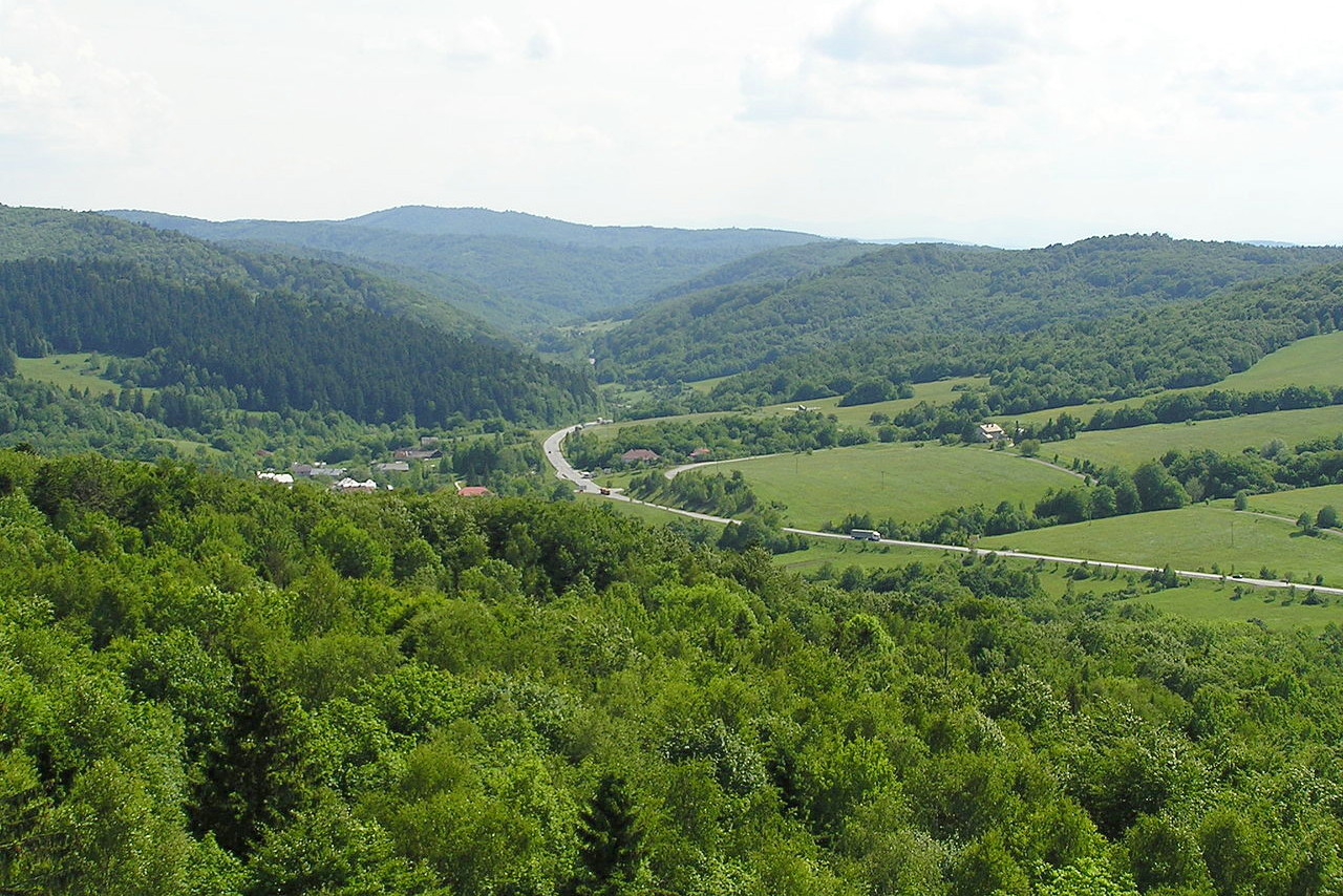
Slovakia is an extremely varied land for such a small country. Its scenery ranges from the High Tatras mountains in the north to the rich plains and the Danube Basin to the south. Much of Slovakia is rugged and mountainous terrain interspersed with many scenic lakes and valleys.
Mountains
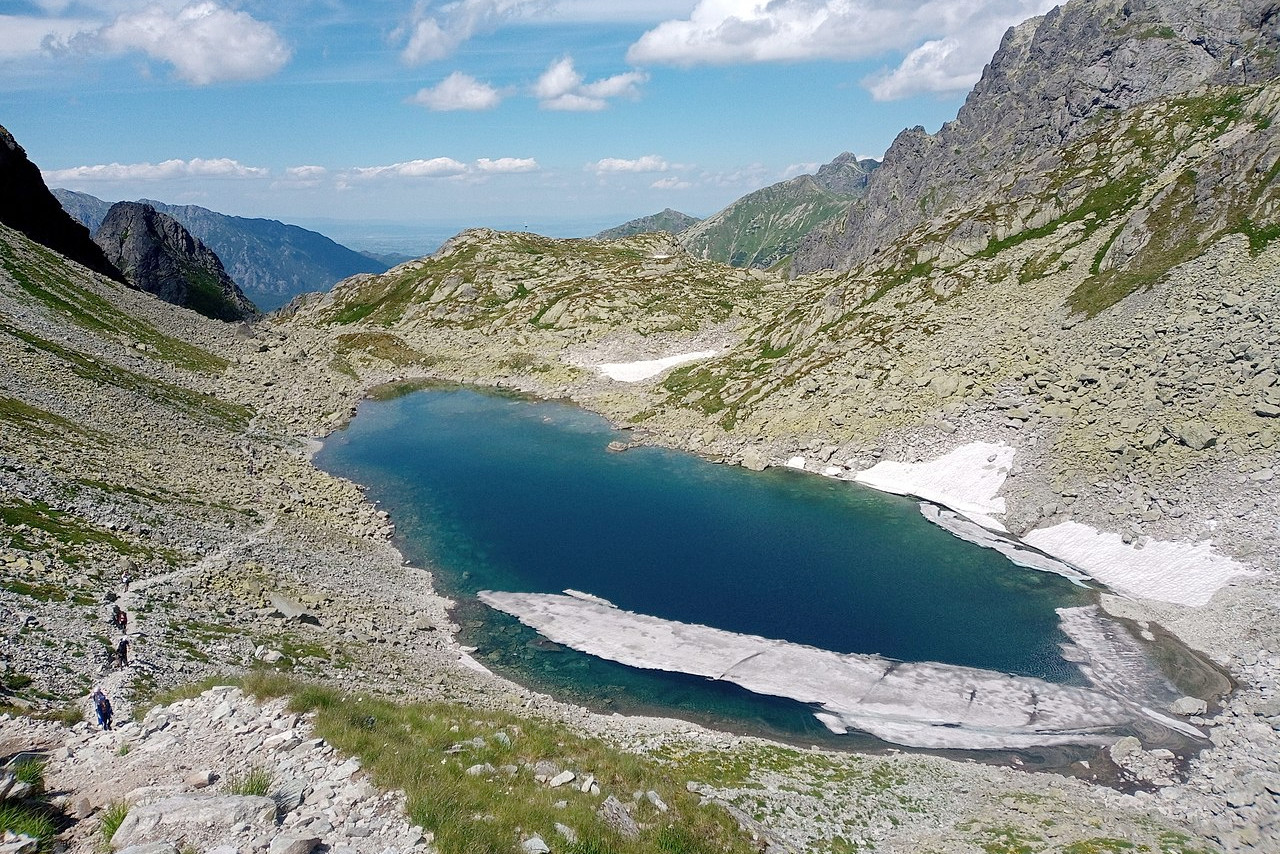
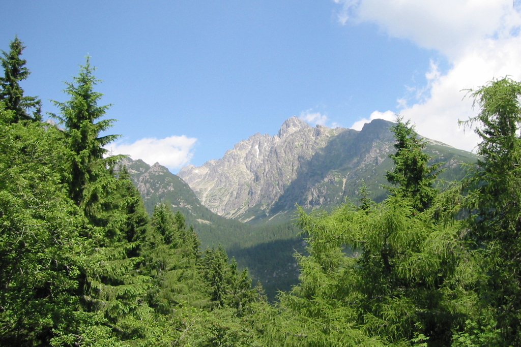
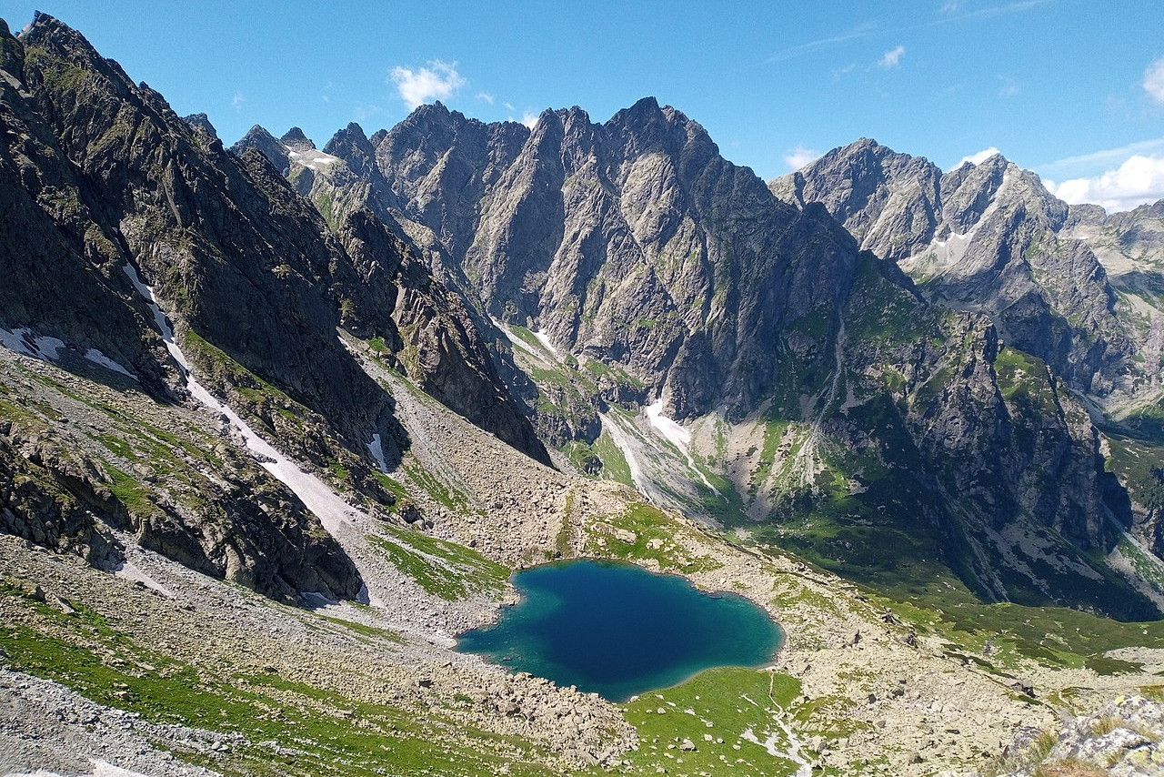
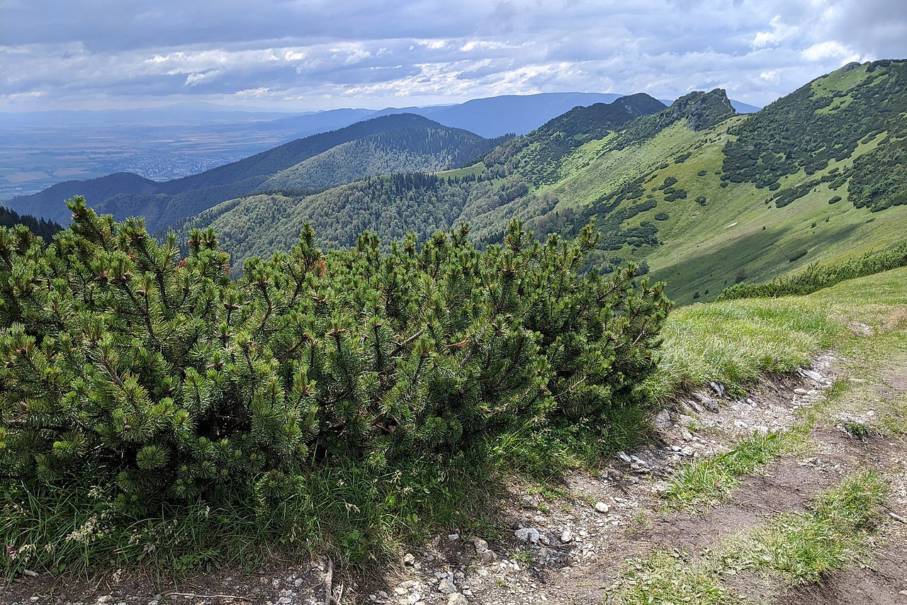
Slovakia's most remarkable feature, and its greatest draw, is its mountain ranges. These are part of the Western Carpathian Mountains, which extend over Slovakia’s northern and central regions. The most renowned are the High Tatras (Vysoké Tatry) along the Polish border to the north. These mountains extend in a narrow ridge from east to west and are a popular summer resort. They include Slovakia’s highest peak, Gerlachovsky (2,655 meters or 8,711 feet).
Snow persists on the highest peaks well into the summer months and all year long in some sheltered pockets. The High Tatras are also interspersed with many deep valleys which present some of the wildest scenery. One of the characteristics of the High Tatras are the clear mountain lakes that dot the landscape.
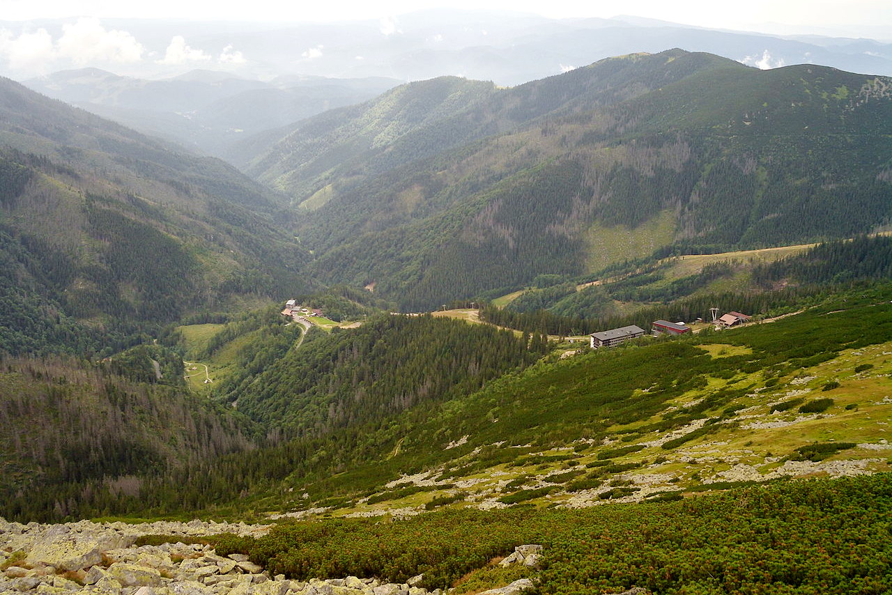
Second in fame to the High Tatras are the Low Tatras (Nízké Tatry) in central and eastern Slovakia. This is the second tallest mountain range of Slovakia. It lacks the sawtooth peaks of the High Tatras, but provides a gorgeous backdrop to the valleys. Here the highest mountain is Ďumbier (2,043 m or 6,703 feet).
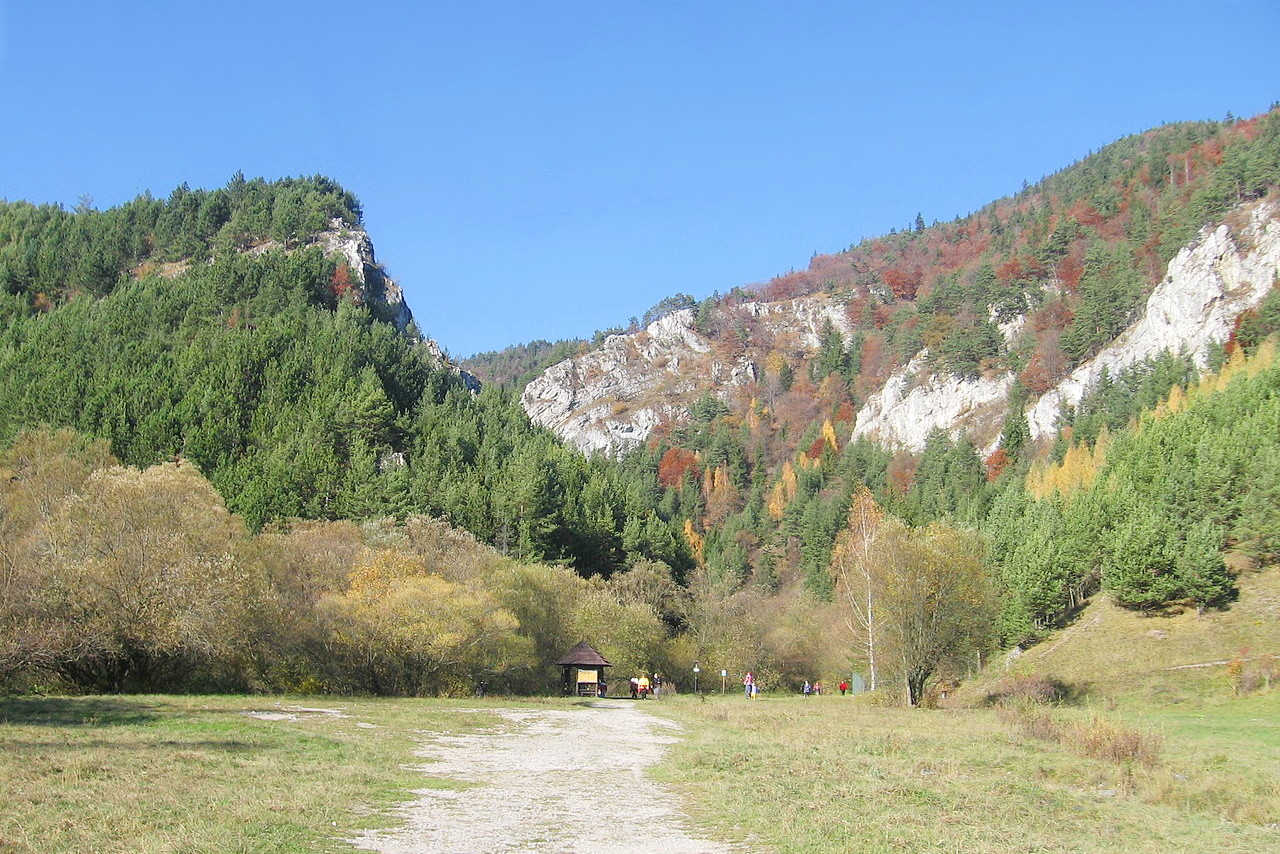
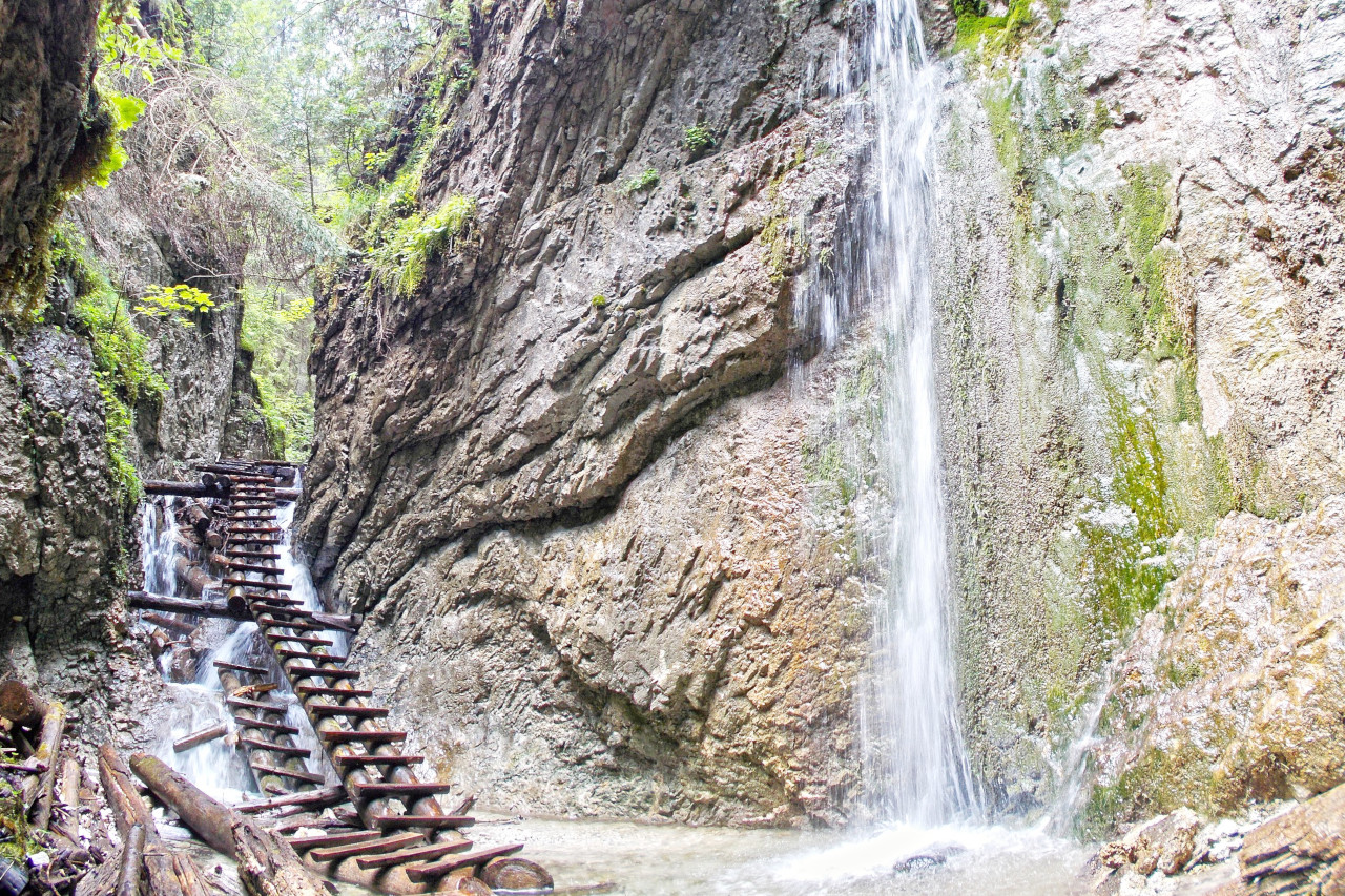
The mountains of central Slovakia give way to hills in the south-central part of the country. Across the Hron River, are the Slovak Ore (Slovenské Rudohrie) Mountains. A popular region for outdoor enthusiasts is Slovenský Raj, literally Slovak Paradise, an area of exceptional natural beauty, and of rare flora and fauna. There are few other places in the world where it is possible to encounter within such a small area such an enchantingly varied landscape—meadows, chasms, canyons, gorges, plateaus, caves, and waterfalls.
In the west, the Little Carpathian (Malé Karpaty) range rises near Bratislava. Several ranges, including the Bíelé Karpaty, Javorníky, and Beskid Mountains, extend into the western part of the Czech Republic.
Lowlands
There are distinct lowland areas in the east and southwest of Slovakia. The lowlands in the east are part of the Carpathian Depression, while those in the southwest belong to the Danube Basin. Many of Slovakia’s rivers flow south into the Danube, which forms the country’s southwestern border.
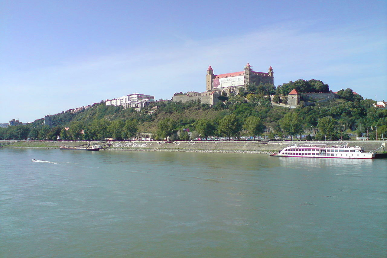
The southwest lowlands are where the country’s longest river, the Váh (269 miles), joins the Danube. The capital city of Bratislava is situated on the left bank of the Danube, and was the capital of Hungary from 1541 until 1784. It sits in a substantial region of plains which make up the country’s main farming area. One corner of southern Slovakia along the Danube, is known as the Great Rye Island (Veľký Žitný ostrov), a great marshland region.
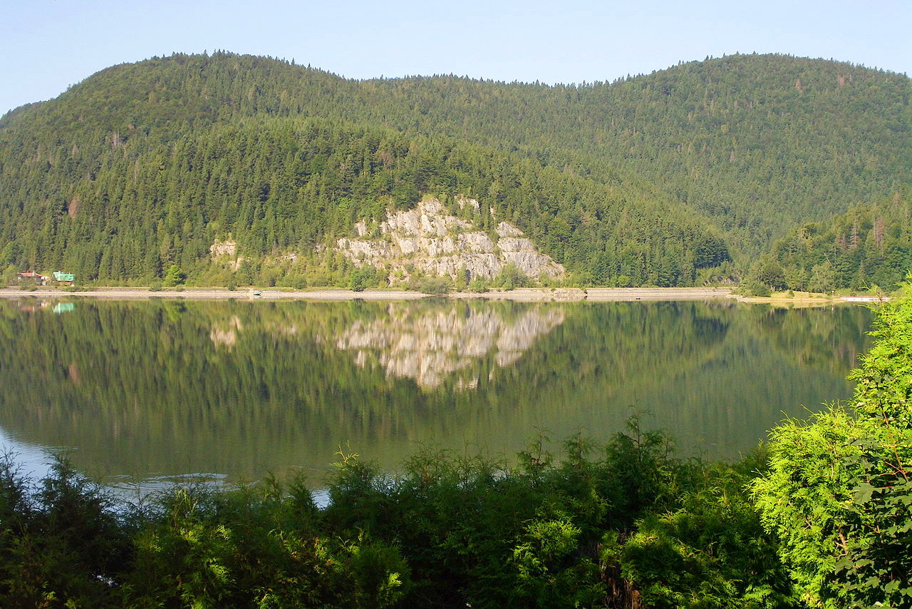
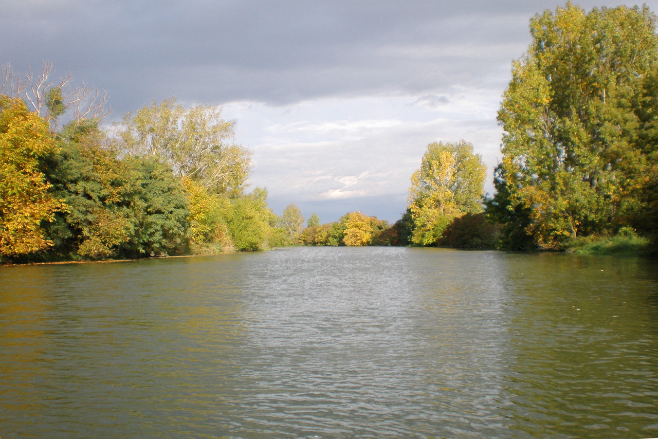 'Little Danube', Senec District
What is the nature of Slovakia like?
Over 40% of Slovakia is forest, and the trees are firs and spruce with some deciduous trees such as ash, beech and oak as well as a rich variety of shrubs. The Tatras mountains is home to stands of dwarf pine trees. In the lowlands some original steppe grassland areas also still survives, as well as floodplains and marshland. Slovakia is a haven for wildlife, especially woodland animals, such as deer, foxes, rabbits, squirrels, marmots, and otters. The chamois, a mountain antelope, is steadily increasing in numbers having been once almost extinct in the country.
What is the climate of Slovakia like?
See our main article: The Climate of Slovakia
Slovakia has a continental climate with a sharp contrast between summer and winter. Summers are very warm, in July the mean temperature is 21°C (70°F); and winters are cool, in January the mean temperature is –1°C (30°F). Weather can vary considerably with altitude, however. The January average can be as low as -5°C (23°F) in the mountains, where temperatures are colder than in the lowlands.
Rainfall also varies with altitude. The High Tatras experiencing twice as much rain as the lowlands. Winters are drier but cold, and snow is present in the mountain for up to 130 days of the year
| Climate data for Bratislava (1981–2010) | |||||||||||||
|---|---|---|---|---|---|---|---|---|---|---|---|---|---|
| Month | Jan | Feb | Mar | Apr | May | Jun | Jul | Aug | Sep | Oct | Nov | Dec | Year |
| Average high °C (°F) | 2.7 (36.9) | 5.1 (41.2) | 10.3 (50.5) | 16.7 (62.1) | 21.8 (71.2) | 24.9 (76.8) | 27.5 (81.5) | 27.0 (80.6) | 21.7 (71.1) | 15.6 (60.1) | 8.2 (46.8) | 3.3 (37.9) | 15.4 (59.7) |
| Daily mean °C (°F) | −0.4 (31.3) | 1.2 (34.2) | 5.5 (41.9) | 11.0 (51.8) | 16.0 (60.8) | 19.1 (66.4) | 21.3 (70.3) | 20.7 (69.3) | 15.9 (60.6) | 10.4 (50.7) | 4.9 (40.8) | 0.7 (33.3) | 10.5 (50.9) |
| Average low °C (°F) | −3.4 (25.9) | −2.3 (27.9) | 1.3 (34.3) | 5.4 (41.7) | 10.2 (50.4) | 13.4 (56.1) | 15.4 (59.7) | 15.0 (59.0) | 11.0 (51.8) | 6.1 (43.0) | 1.8 (35.2) | −1.9 (28.6) | 6.0 (42.8) |
| Average precipitation mm (inches) | 39 (1.5) | 37 (1.5) | 38 (1.5) | 34 (1.3) | 55 (2.2) | 57 (2.2) | 53 (2.1) | 59 (2.3) | 55 (2.2) | 38 (1.5) | 54 (2.1) | 46 (1.8) | 565 (22.2) |
| Average snowfall cm (inches) | 10.7 (4.2) | 5.7 (2.2) | 1.6 (0.6) | 0.2 (0.1) | 0.0 (0.0) | 0.0 (0.0) | 0.0 (0.0) | 0.0 (0.0) | 0.0 (0.0) | 0.2 (0.1) | 1.8 (0.7) | 4.0 (1.6) | 24.2 (9.5) |
| Source: Climatemps and Weather Atlas | |||||||||||||
The official websites
Slovakia
Travel in Slovakia. Good Idea!
| Location: | Central Europe, between Poland and Hungary |
| Coordinates: | 48° 40′ N, 19° 30′ E |
| Size: | • 210 km N-S; 425 km E-W • 130 miles N-S; 265 miles E-W |
| Terrain: | Rugged mountains in the central and northern part and lowlands in the south |
| Climate: | Temperate; warm summers; cool, humid winters |
| Highest point: | Gerlachovsky Stit 2,655 m / 8711 ft |
| Forest: | 40.2% (2011 est.) |
| Population: | 5,440,602 (July 2020 est.) |
| Population density: | Medium (111/km²) |
| Capital: | Bratislava |
| Languages: | Slovak (official) 78.6%, Hungarian 9.4%, Roma 2.3%, Ruthenian 1% (2011 est.) |
| Human Development Index: | Very high (0.860) |
| Currency: | Euro |