The Geography of
Hungary
Why visit Hungary?
Hungary abounds in natural beauty with rivers, wetlands, lakes, rolling hills, and plentiful forests. Located in the heart of Europe, it has many attractions for travelers such as the mighty Danube River and plenty of wine-making regions. Hungary has a rich history, dating back to the earliest days of human civilization. The Magyars, a nomadic people, settled in Hungary in the ninth century. Hungary became an independent kingdom in the Middle Ages, and played a leading role in the development of Europe. Budapest, the capital, is a beautiful and historic city. Hungarian culture is rich and varied, and has been profoundly influenced by its relations with other countries. In summary, the country is beautiful, the people are friendly and the culture is rich and diverse.
Contents
Map
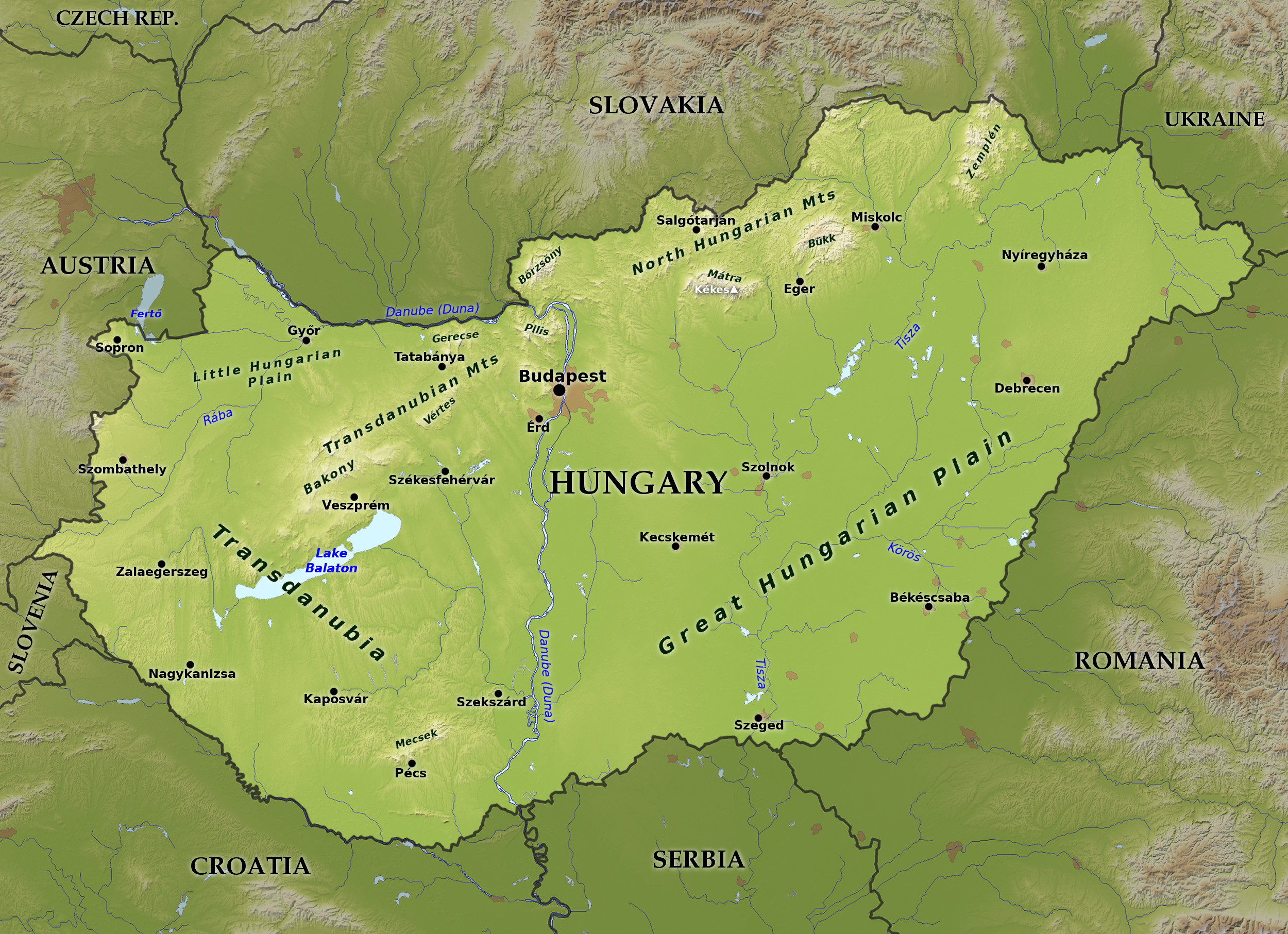 Relief map of Hungary
What is the landscape of Hungary like?
Hungary can be divided into geographic regions: Transdanubia, The Danube, the Northern Mountains, and the Great Plain (Alföld).
Western Hungary: Transdanubia
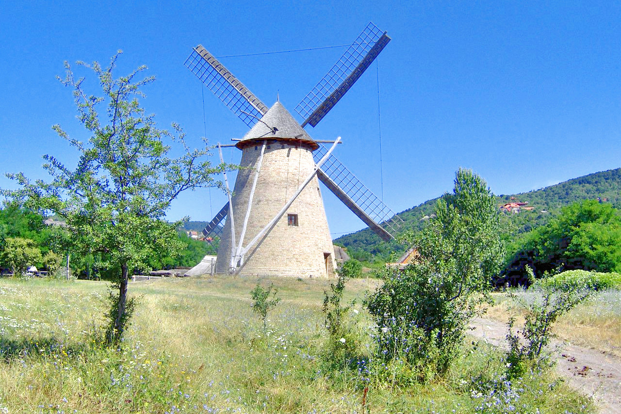
The western third of Hungary, that which lies west of the Danube, is known as Transdanubia (Dunántúl). This is a region of rolling hills which begins with the Alpine foothills on the Austrian border, and is crisscrossed with with rivers, hills and valleys, and is interspersed with isolated plains. In the northwest corner of the country is the the Little Hungarian Plain (Kisalföld), the smaller cousin of the the Great plain in the southeast of the country. The main city of the Little Plain is Győr, a traditional transit point of the trading routes between Vienna and Budapest, as well as a beautiful and historic town.
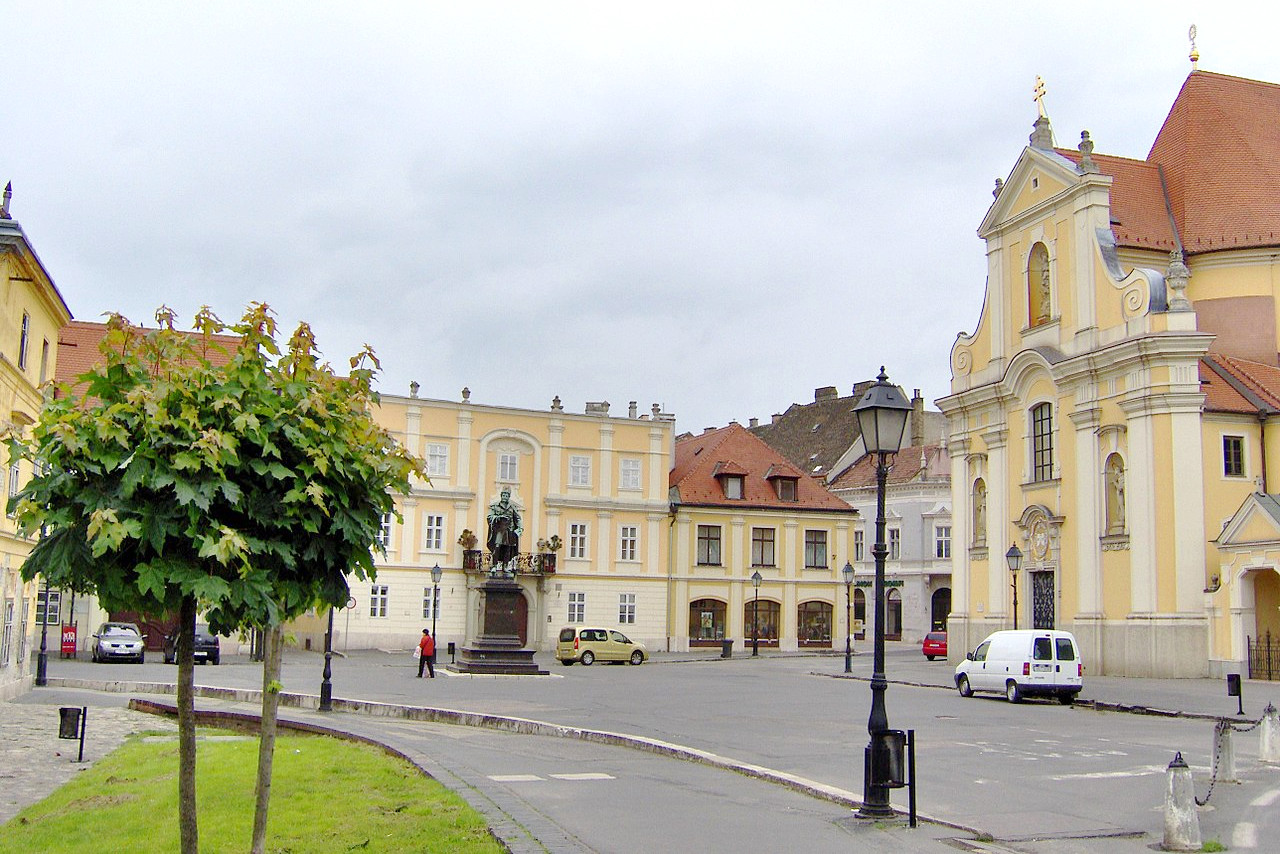
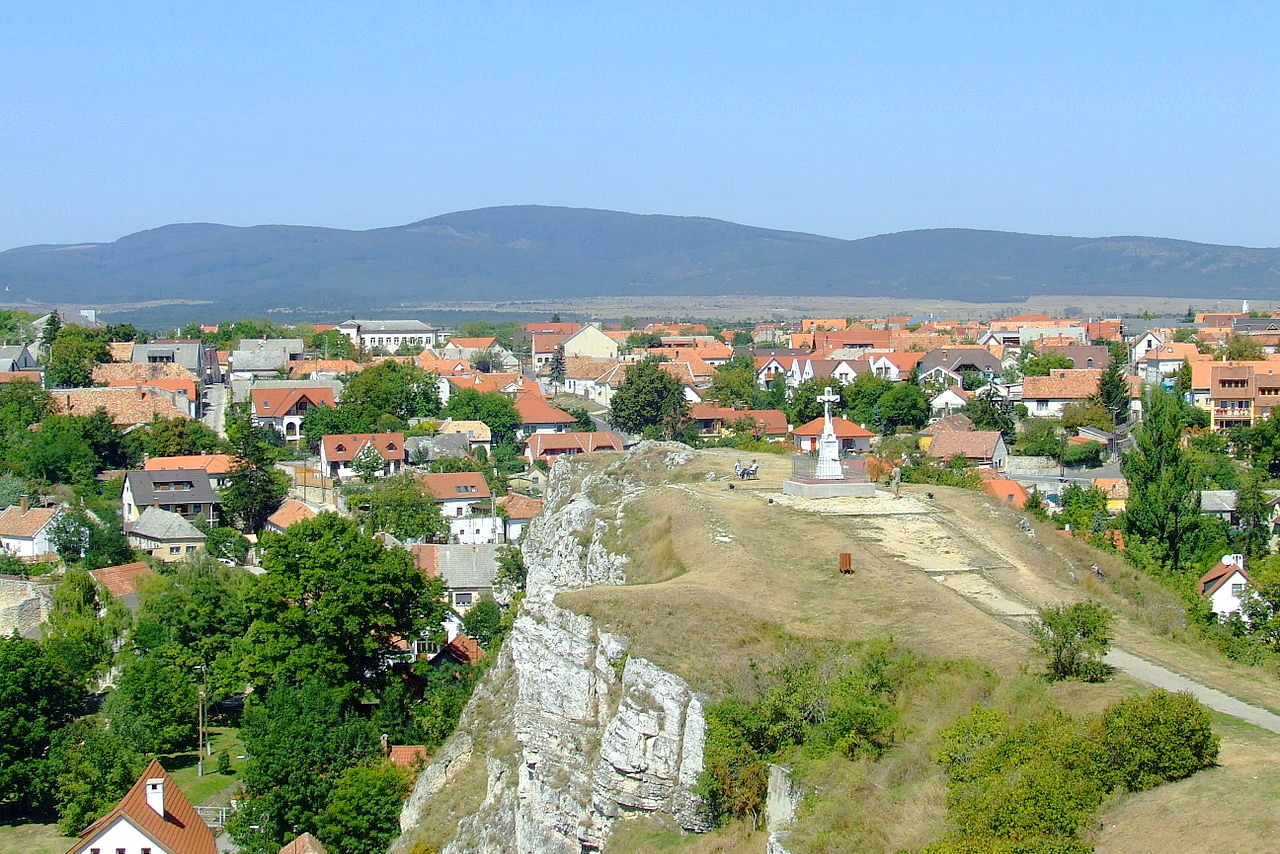
To the south of the little plain is a highland belt in which the Bakony Mountains constitute the most extensive set of hills west of the Danube River. This is a rolling, hilly range, popular with nature enthusiasts, hikers, and cyclists. Veszprém, a regionally important town, is known for its castle and as the seat of the bishop of Veszprém who, for centuries, crowned Hungarian queens. The larger city, Székesfehérvár, (which translates as the “white castle with a throne”) was a historic seat of Hungarian kings. Lake Velence, to the east of Székesfehérvár, is one of Europe's warmest lakes, a favorite destination for vacationing Hungarians and a bird reserve.
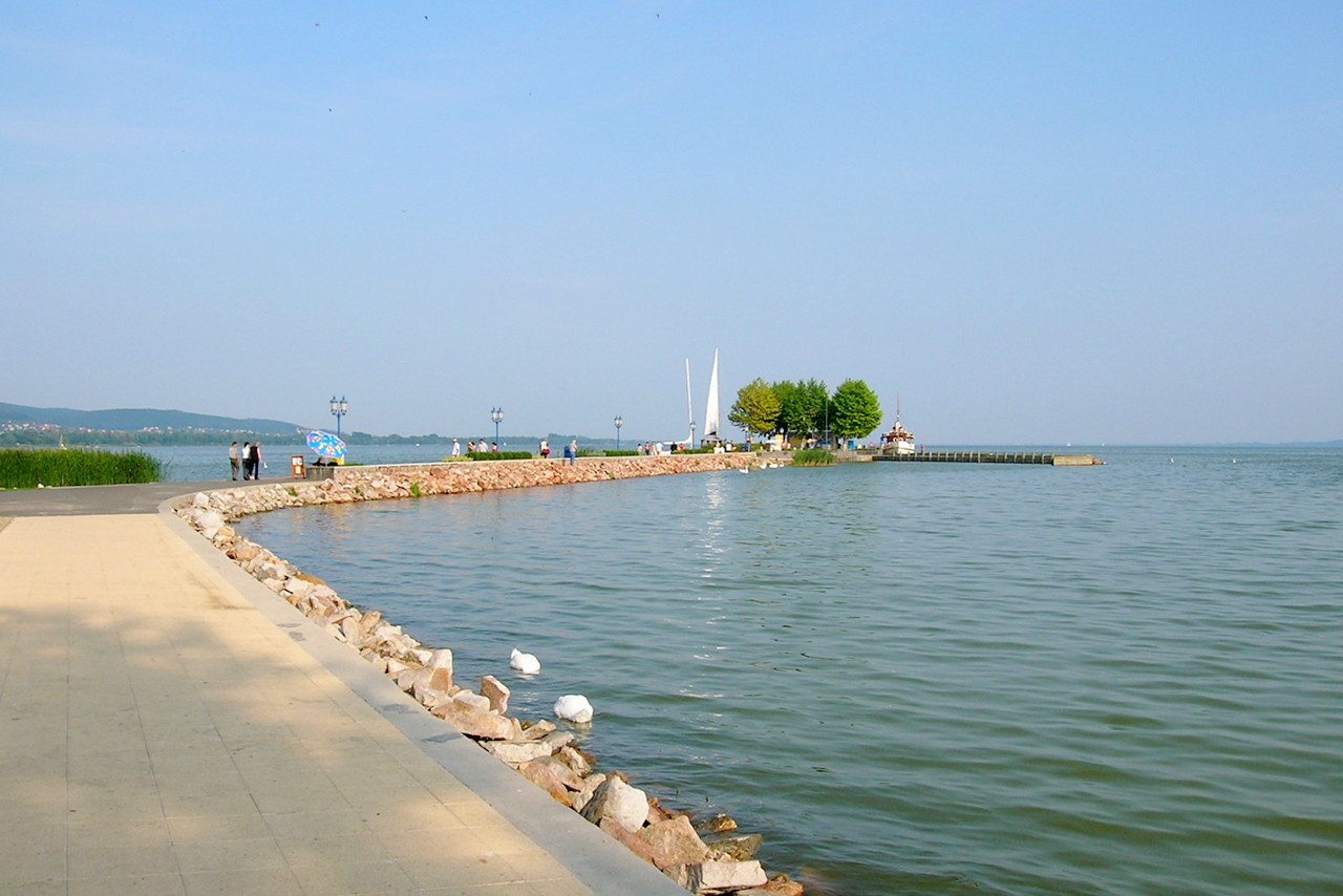
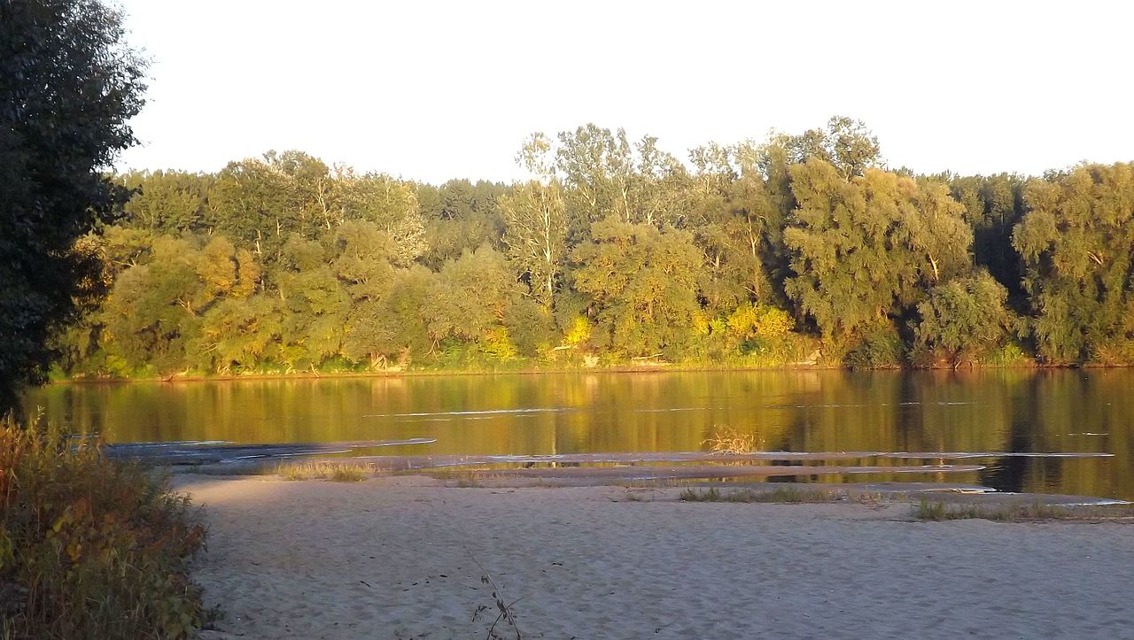
The largest lake in Hungary, and in fact the largest freshwater lake in Central Europe, is Lake Balaton in the heart of Transdanubia. About 72 kilometers (45 miles) long, the summer surface temperature of the water in the lake can easily reach 25°C (77°F) making it a popular tourist destination. This "Hungarian sea" has sandy beaches, rich vegetation, and a myriad of bird species.
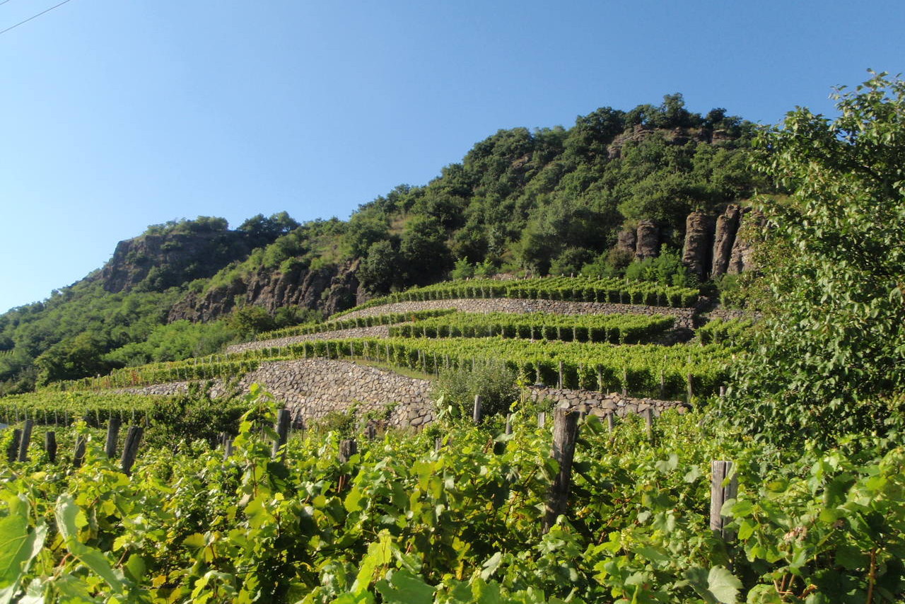
Southern Transdanubia is a sparsely populated region. It is filled with beautiful forests, and the warm summer weather makes it one of the main wine-making regions of Hungary. The beautiful mountain range of Mecsek has dense forests and abundant animal life, is another one of the natural treasures of Hungary.
Central Hungary: The Danube
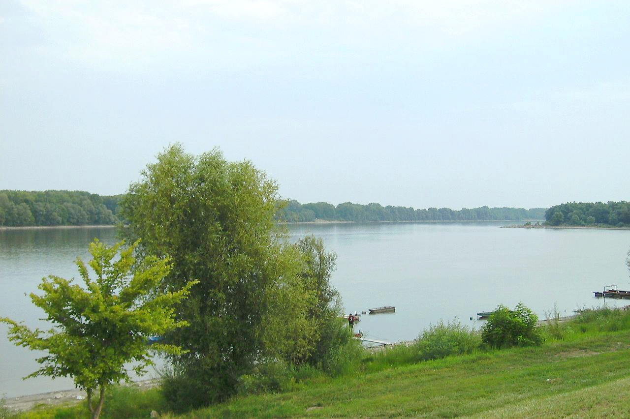
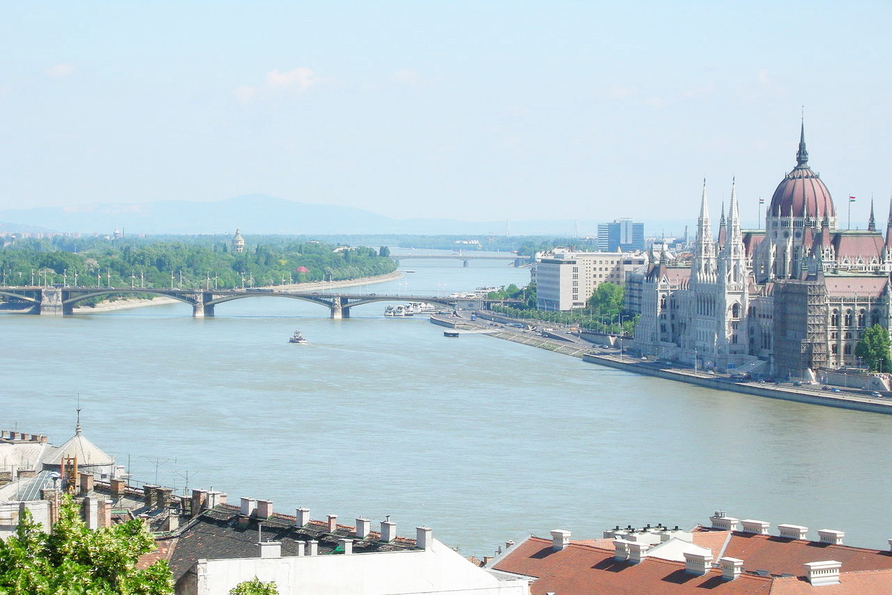
Hungary's longest and most important river is the Danube (Duna), which flows eastward along the northern border with Slovakia, until it bends north of Budapest and then flows south, through the middle of the country. Hungary's many rivers nearly all end up flowing into the Danube. The Hungarian portion of the Danube is about 385 kilometers (240 miles) long, and throughout history it has been one of the most important trading routes in Europe.
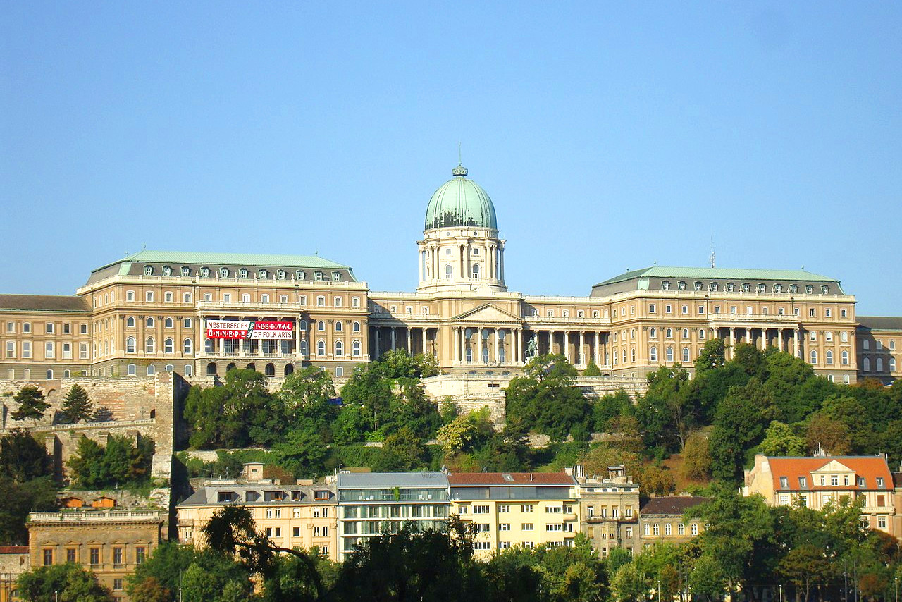
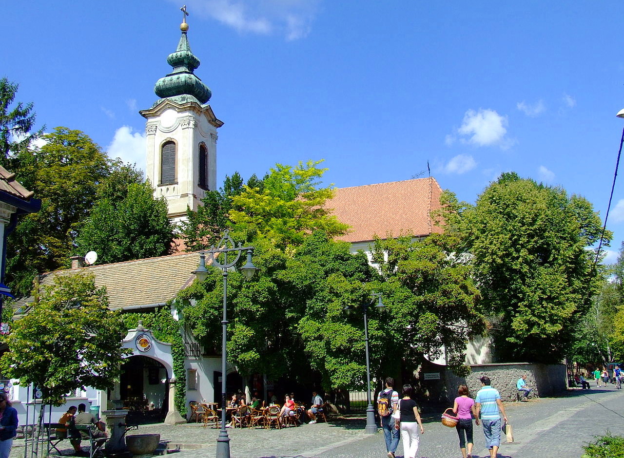
Budapest, the country's historic and impressive capital city grew into a unified city in 1873 from three separate settlements Buda and Óbuda on the right bank of the Danube, and Pest on the left bank. Buda is the older town, and today is the hilly and wooded part of Budapest with the striking castle sitting on a hill above the Danube. It was the capital of Hungary from the mid-fourteenth to the mid-sixteenth centuries, and became the Hungarian capital again in the late eighteenth century. Budapest today abounds in historical landmarks, and the Danube's three islands in and close to Budapest—Óbuda Island, Margaret Island, and Csepel Island—are sites of beautiful parks, where cultural festivals take place.
Northern Hungary: The mountains
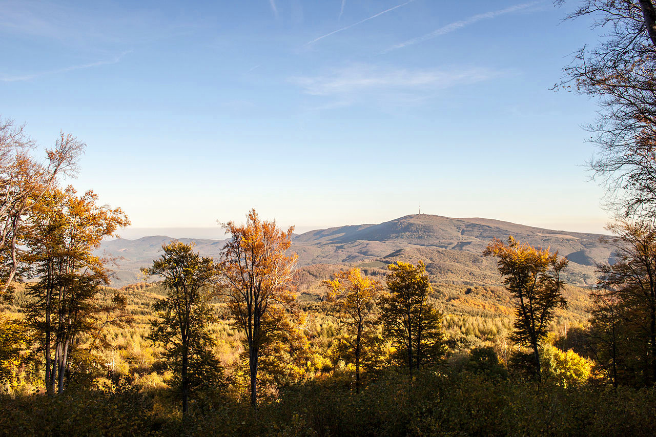
The mountains of Northern Hungary are a picturesque upland of great natural beauty. They extend northeastward from the Danube River for about 225 kilometers (140 miles). Hungary's highest peak, Mount Kékes, at 1,014 metres (3,327 ft) stands tall in the forested Mátra Mountains. This range is a popular walking destination with many beautiful hiking trails and panoramic views.
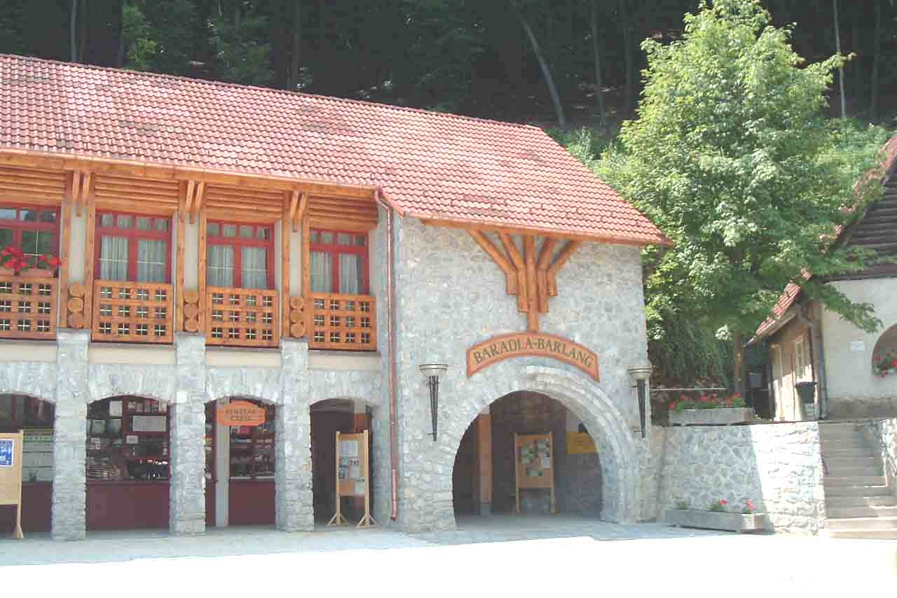
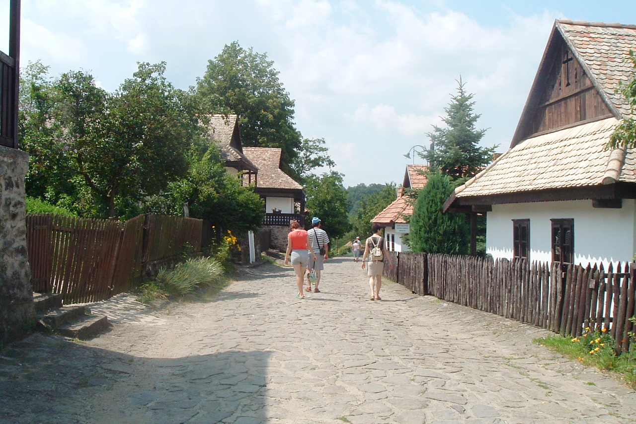
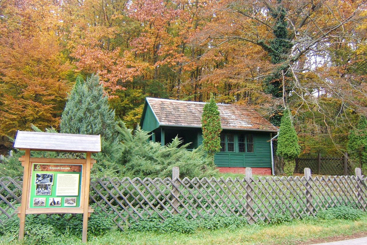
The rivers in the northern mountains have carved out elaborate cave systems in the Aggtelek National Park which is a UNESCO World Heritage Site. Hungary's longest cave is the Baradla Cave which extends to 25.5 km (16 miles). Another World Heritage Site is the old village of Hollókő and surrounding area. It is a living museum of folk art and a beautiful example of traditional Hungarian village life.
Eastern Hungary: The Great Plain
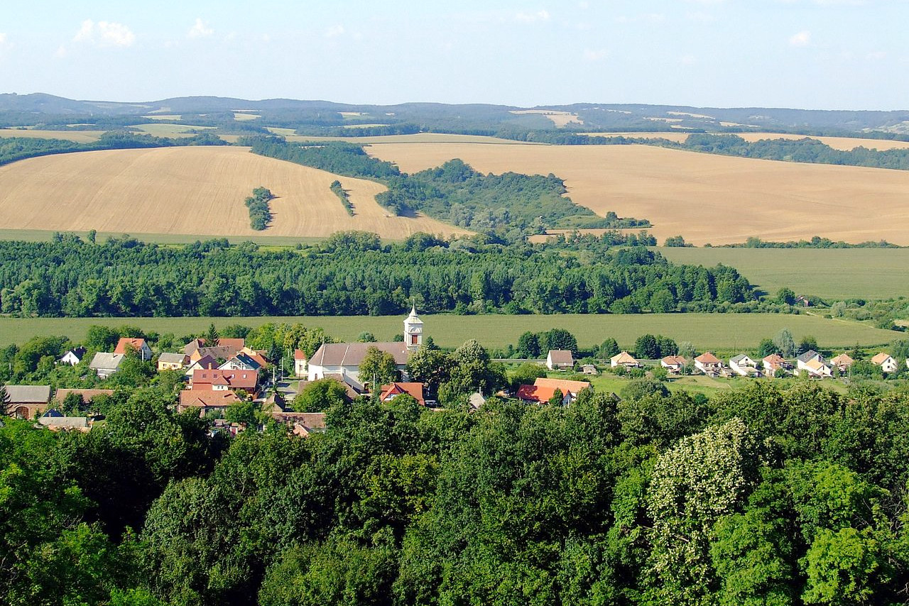
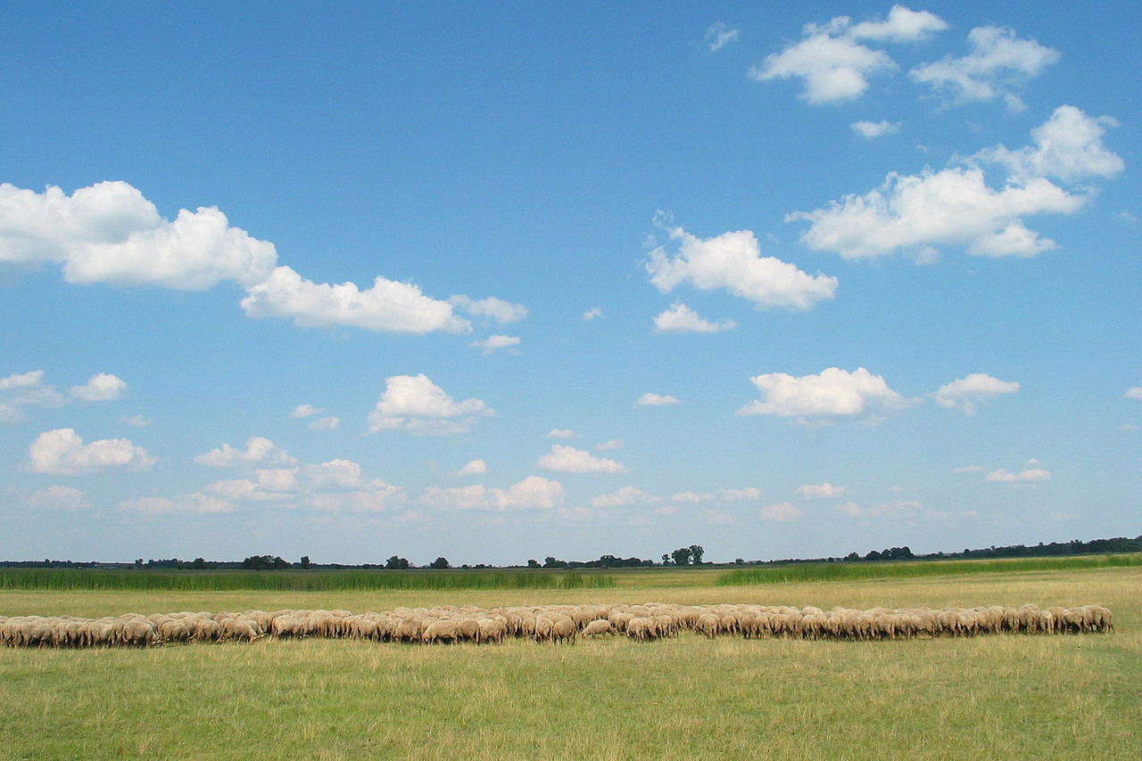
Hungary's largest region and its agricultural heartland is the Great Hungarian Plain, known as the Alföld. This is the largest plain in Europe, and it stretches across central and eastern Hungary, occupying all of the land south of the northern mountains. It is a mostly flat, vast expanse of steppe, sprinkled with farmsteads, villages, orchards, vineyards, and cereal fields. The second-longest river in Hungary, the Tisza, flows through the Great Plain, fed by countless rivers. Flooding was once a commonplace occurence, and the plains frequently became marshland, but an extensive series of levees built since the 19th century now controls the waters.
The Hungarian Plain is the most romantic image in Hungarian folklore, often appearing in Hungarian stories. One of the places the original steppe can still be seen today is Hortobágy National Park—a large continuous grassland. This national park showcases traditional agriculture, traditional horsemanship, indigenous breeds of cattle, and well-preserved village life and folk art.
What is the nature of Hungary like?
Hungary's mountains are a treasure trove of plant and animal life. Oak is the predominant deciduous tree of the forests but others include black locust, poplar, beech, hornbeam, ash, alder, and chestnut. Various conifers are found in the hills especially fir and pine. Among the rarer wild animals are bears, wolves, lynxes, and wild cats, as well as chamois (a wild antelope) and mouflon (a wild sheep).
What is the climate of Hungary like?
See our main article: The Climate of Hungary
Hungary has a continental climate, but with Atlantic and Mediterranean influences. It has cold winters and hot summers. The Hungarian plains have cold, dry, and windy winters with around 20 and 30 days each year of snow in the lowlands and between 40 and 50 days in the mountains. The Mediterranean influence from the south brings hot, dry air in the summer, and July temperatures can often reach of 30°C (85°F).
Rainfall is rather lower than that of Austria. The rain is heaviest in late spring, early summer, and fall, and is heavier in the southwestern parts of the country. Drought is common on the Great Hungarian Plain in summer, and the crops are dependent on irrigation from the Tisza River.
| Climate data for Budapest (1991–2020) | |||||||||||||
|---|---|---|---|---|---|---|---|---|---|---|---|---|---|
| Month | Jan | Feb | Mar | Apr | May | Jun | Jul | Aug | Sep | Oct | Nov | Dec | Year |
| Average high °C (°F) | 4.1 (39.4) | 6.6 (43.9) | 11.8 (53.2) | 18.3 (64.9) | 22.9 (73.2) | 26.6 (79.9) | 28.6 (83.5) | 28.6 (83.5) | 22.8 (73.0) | 16.8 (62.2) | 10.1 (50.2) | 4.6 (40.3) | 16.8 (62.2) |
| Daily mean °C (°F) | 1.4 (34.5) | 3.4 (38.1) | 7.7 (45.9) | 13.3 (55.9) | 17.7 (63.9) | 21.4 (70.5) | 23.3 (73.9) | 23.2 (73.8) | 18.0 (64.4) | 12.7 (54.9) | 7.2 (45.0) | 2.2 (36.0) | 12.6 (54.7) |
| Average low °C (°F) | −1.2 (29.8) | 0.1 (32.2) | 3.6 (38.5) | 8.3 (46.9) | 12.6 (54.7) | 16.2 (61.2) | 18.0 (64.4) | 17.7 (63.9) | 13.2 (55.8) | 8.6 (47.5) | 4.3 (39.7) | −0.2 (31.6) | 8.4 (47.1) |
| Average precipitation mm (inches) | 37 (1.5) | 29 (1.1) | 30 (1.2) | 42 (1.7) | 62 (2.4) | 63 (2.5) | 45 (1.8) | 49 (1.9) | 40 (1.6) | 39 (1.5) | 53 (2.1) | 43 (1.7) | 532 (20.9) |
| Source: Hungarian Meteorological Service | |||||||||||||
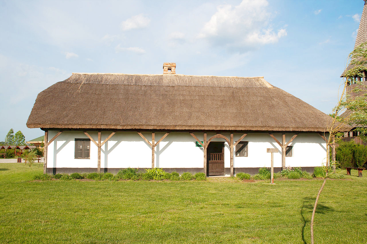
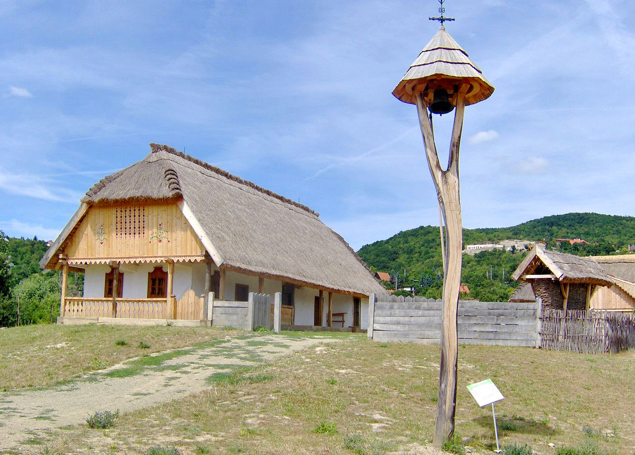 Traditional cottage, Szentendre Open Air Museum
The official websites
Hungary
The Wellspring of Wonders
| Location: | Central Europe, south of Slovakia, northeast of Croatia, northwest of Romania |
| Coordinates: | 47° 00′ N, 20° 00′ E |
| Size: | • 270 km N-S; 530 km E-W • 170 miles N-S; 330 miles E-W |
| Terrain: | Mostly flat to rolling plains; hills and low mountains near the northern border |
| Climate: | Temperate; cold and cloudy winters; warm summers |
| Highest point: | Kékes 1,014 m / 3327 ft |
| Forest: | 22.5% (2011 est.) |
| Population: | 9,771,827 (July 2020 est.) |
| Population density: | Medium (105/km²) |
| Capital: | Budapest |
| Languages: | Hungarian (official) 99.6%, English 16%, German 11.2% |
| Human Development Index: | Very high (0.854) |
| Currency: | Forint |