_008.jpeg)

_009.jpeg)
The Geography of
Poland
Why visit Poland?
Poland has a rich and diverse culture, with centuries of history that can be explored in many different ways. Poland boasts some stunning scenery—great plains studded with lakes, rivers, dense forest, impressive mountains (in the south), and a lovely coastline. And then there are great cities, Kraków, Łódź, and Gdańsk, often rebuilt from the fragments of war, lovingly restored not just to be lived in and enjoyed, but as monuments of great culture and learning.
Contents
Map
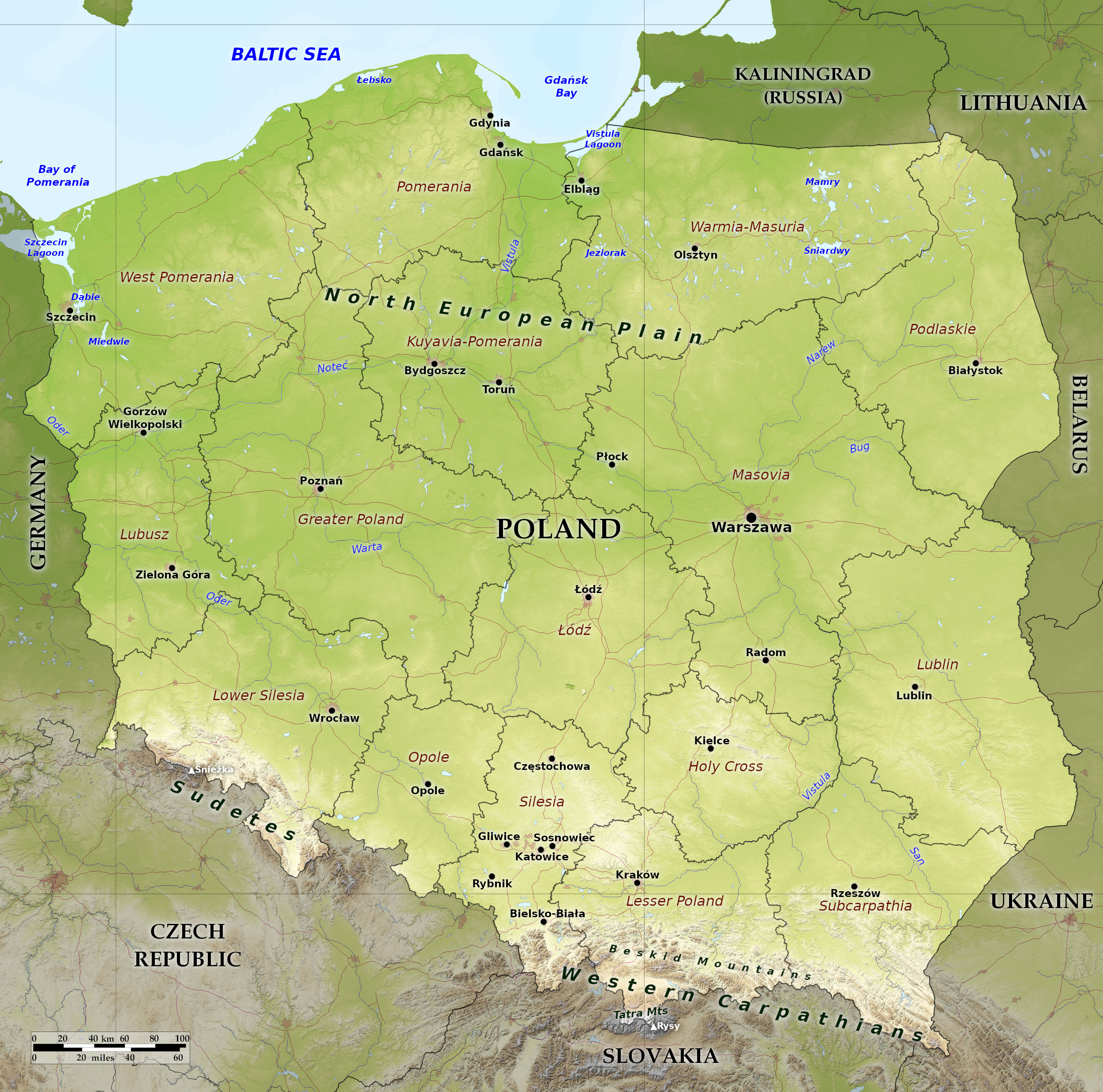 Relief map of Poland
What is the landscape of Poland like?
Poland lies in north-central Europe in a position roughly midway across the North European Plain, connecting the vast lowland's western and eastern regions. Most of Poland lies on part of the North European Plain between the Carpathian and Sudeten Mountains on the south and the Baltic Sea on the north.
Coast
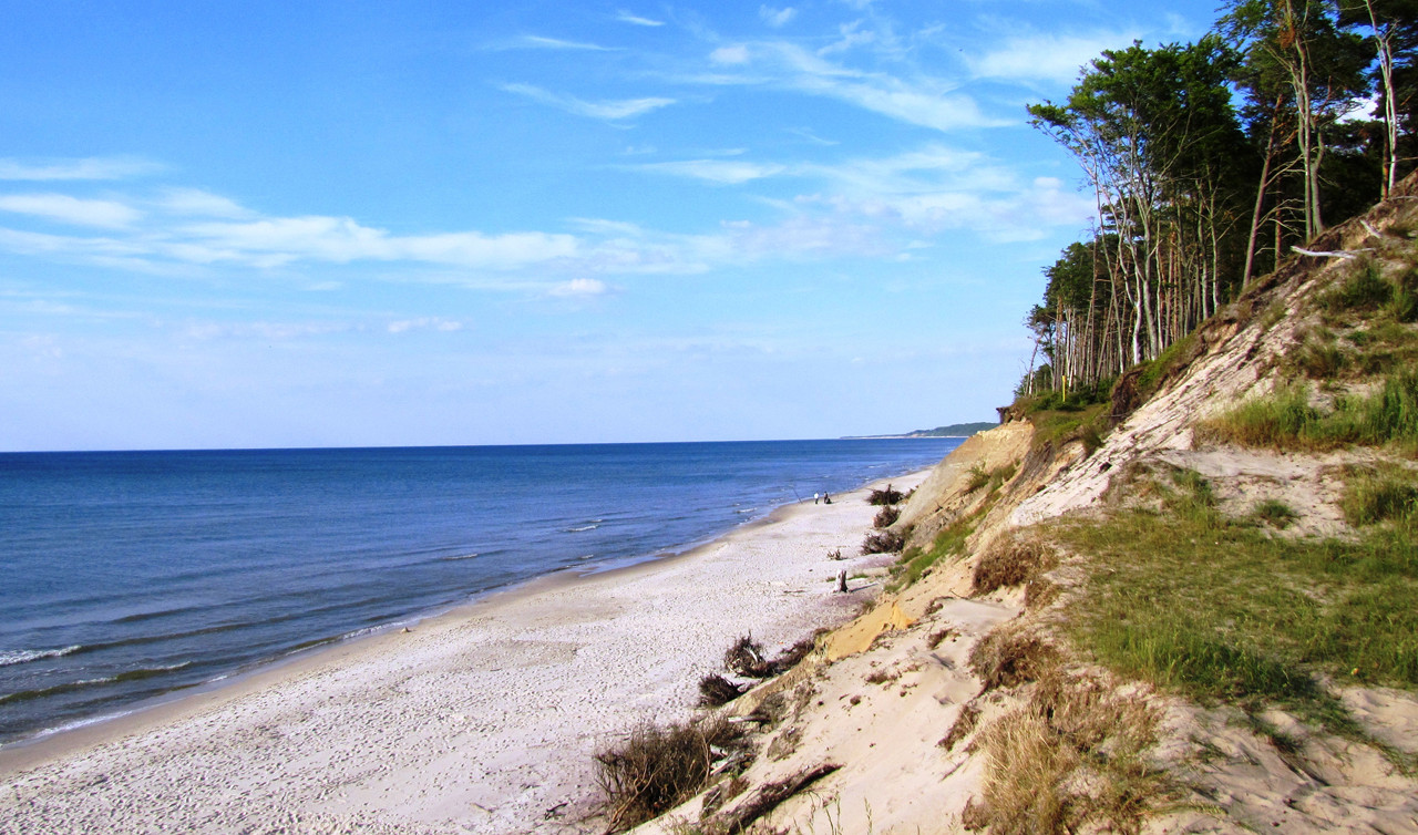
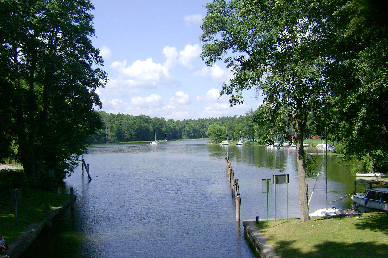
Poland's coast spreads from the Pomeranian Bay in the west to the Gulf of Gdansk in the east. The coast is smooth in outline with short stretches of sandy beaches, bordered with dunes or sandbanks. In many places, patches of forest, dotted with lakes extend up to the shoreline.
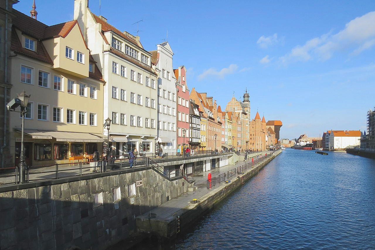
The city of Gdansk still preserves its picturesque medieval aspect. It is known for its historic gateways, and its grand old patrician houses with their lofty and often elaborately ornamented gables and windows— a reminder of the days of the city's Hanseatic glory.
Lowlands: North
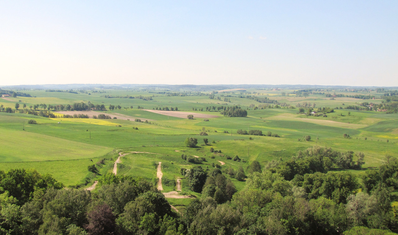
The single largest region of Poland is the central lowlands area, which accounts for three-quarters of Poland's territory. It extends over the entire country in an east-west band. Part of the North European Plain, this is the largest expanse of flatland in Europe; it runs from the North Sea shores in Germany and the Netherlands to the marshland and forests of Lithuania and Belarus.
The landscape is the result of the advance and retreat of huge sheets of glacial ice during the Ice Ages. The impact from this moving ice has created a rolling landscape that features low hills and scattered lakes which dominate the terrain for about 200 kilometers (125 miles) inland from the Baltic Sea.
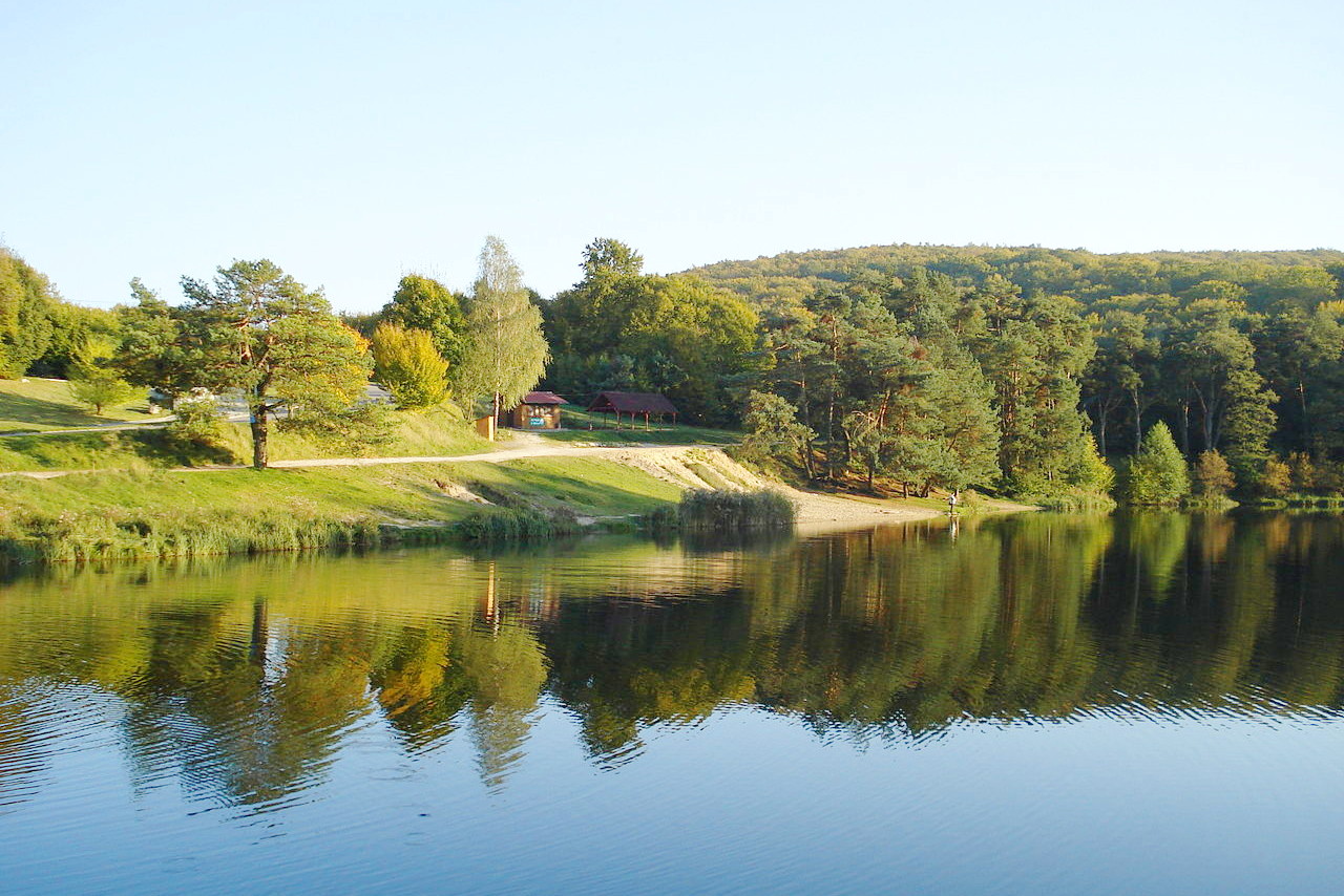
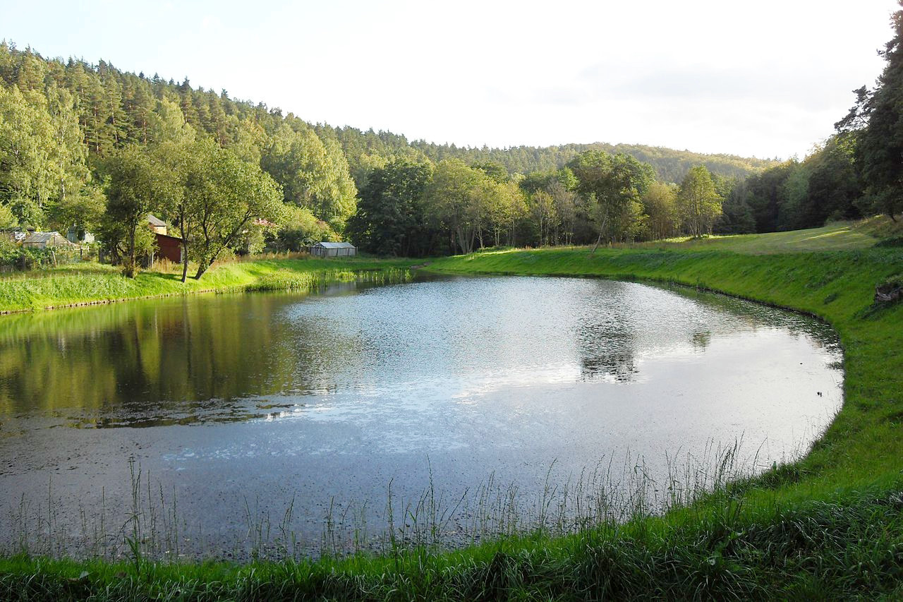
Thousands of lakes cover this region, many of which are shallow and are surrounded by marsh or forest. Pomerania in the northwest has over four thousand lakes, whereas the Masurian district in the northeast has over twenty-five hundred lakes. In general the Masurian Lakes tend to be larger than the Pomeranian lakes—Śniardwy, 22 kilometers (14 miles) long, is the largest inland lake in Poland.
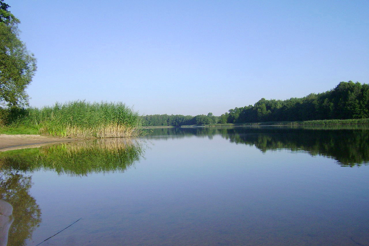
There are wide tracts of sand, marshes, peat-bogs, ponds, and small lakes, among which streams lazily meander from one marsh to another, the whole covered with pine forests. The rivers flow across the plain in broad, level valleys; they separate into many branches, enclosing islands, forming creeks, and drowning wide tracts of land during spring floods.
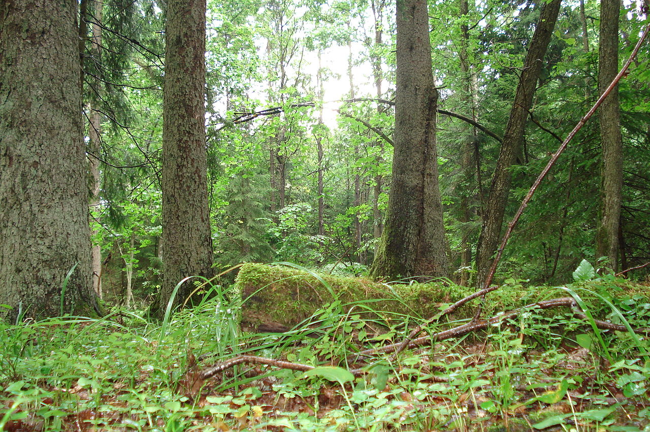
Białowieża National Park, in northeastern Poland, is the biggest primaeval forest in Europe, and one of the last sanctuaries for the European bison. Facing extinction, but bred in captivity in the hope of saving the species, the first bison were reintroduced to Białowieża in 1952. Since then, the numbers of this magnificent animal, Europe’s largest mammal, have steadily increased to more than 1,000 head.
Lowlands: Central
Central Poland is both spatially and in cultural terms, the heart of the nation. Here were the beginnings of the Polish medieval state, and it is perhaps the most traditionally Polish part of the country. Warsaw, the capital city, sits in the region of Mazovia, in which villages are scattered among some of the oldest forests in the country. To the west, Greater Poland, is a flat, forested landscape with many shallow ponds and lakes.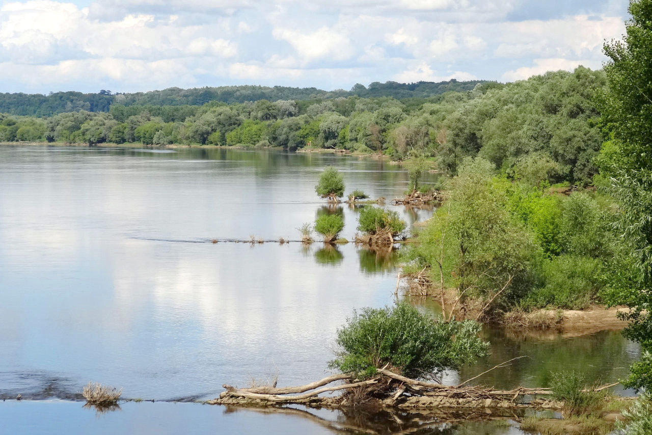
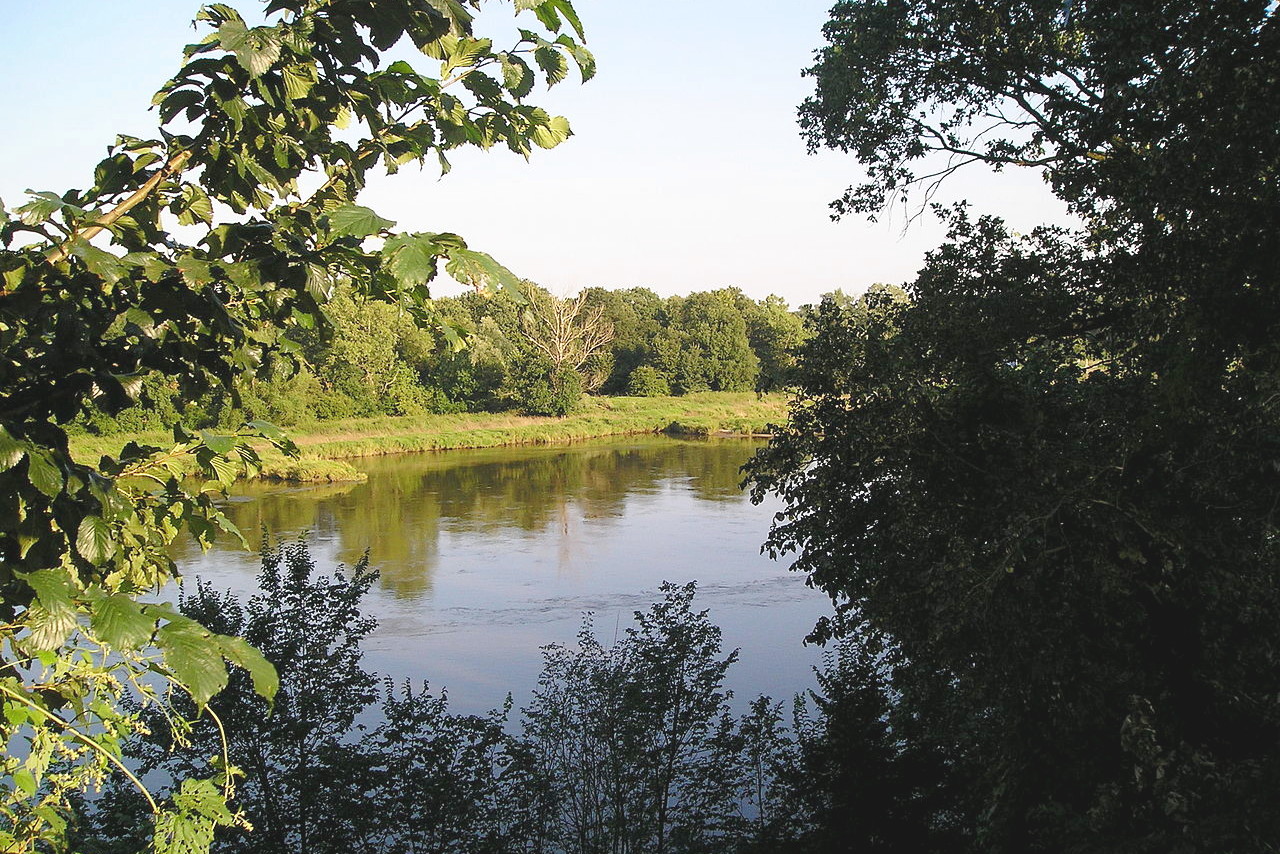
Because the land slopes down towards the coast, most of Poland's rivers flow in a northwesterly direction before merging with larger rivers or draining into the Baltic Sea. The Vistula and its tributaries drain the country's largest basin, an area that includes practically all of the southeastern and east-central regions and much of the northeast as well. The Vistula rises in the Tatra Mountains in the south, flows northward, and drains into the Baltic Sea at the Gulf of Gdansk. One of its tributaries, the Bug, forms about 280 kilometers (174 miles) of Poland's eastern border.
Lowlands: South
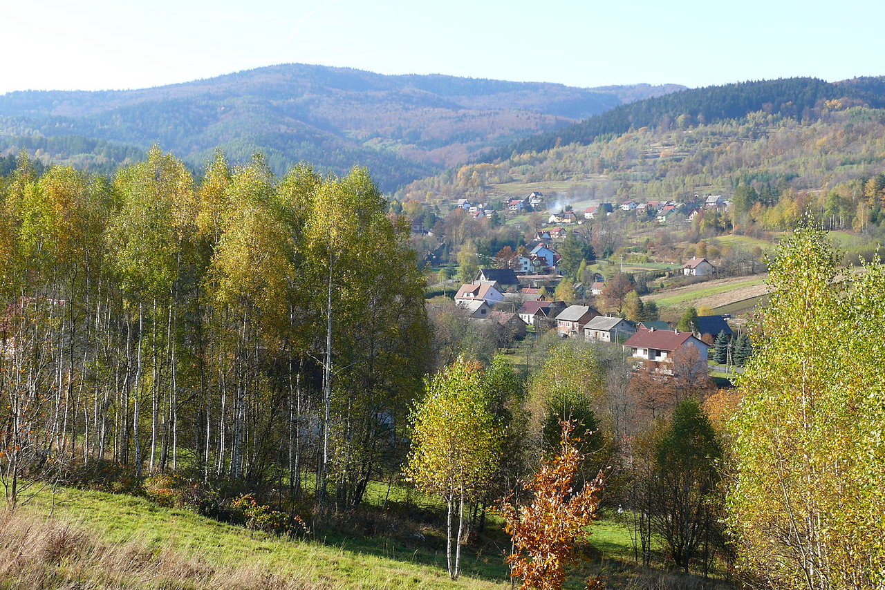
In the south the plains of Poland become rolling hills and plateaus covered with forests of oak, beech and lime. The hills are deeply cut by river valleys, some being narrow and craggy, and others broad, with gentle slopes and marshy bottoms. The hilly districts include the Lublin heights in the east; the Holy Cross Mountains; and the Kraków-Częstochowa Upland, towards central Poland.
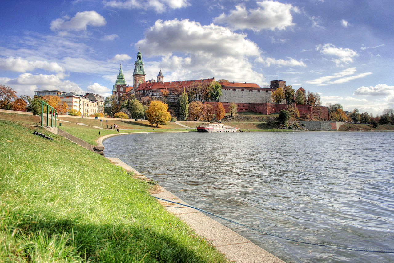
Kraków, situated on the Vistula, has many old and historic buildings, and is the cultural centre of the Polish nation. Here the kings of Poland were crowned, and Wawel Cathedral is the burial place of Poland's kings and its great men and women. Kraków is home to Jagiellonian University, founded in 1364, the second oldest university in Central Europe.
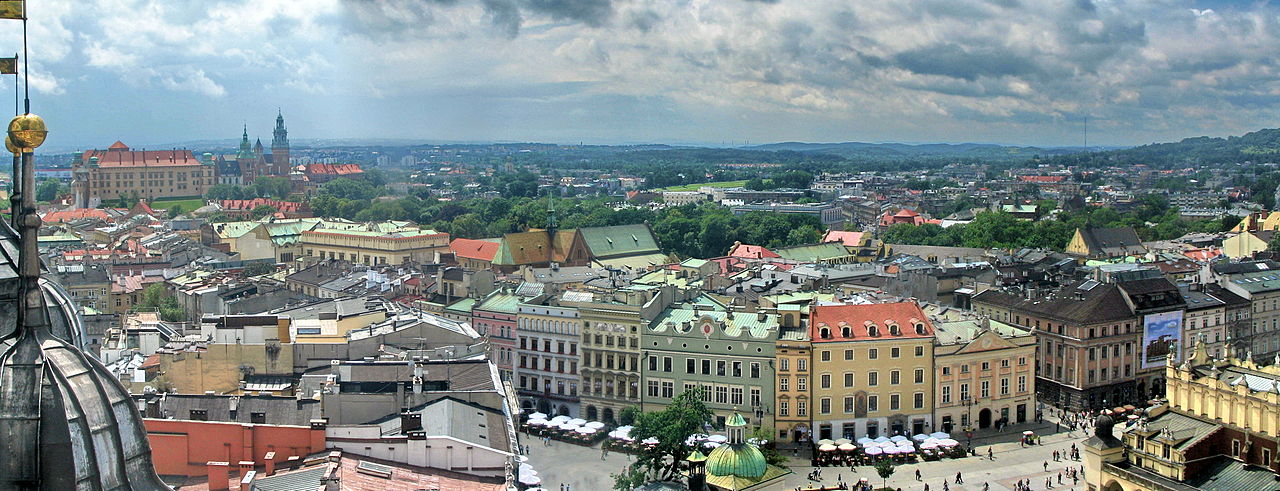 Old Town Market Square in Kraków
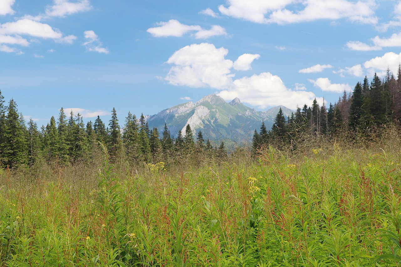
Highlands
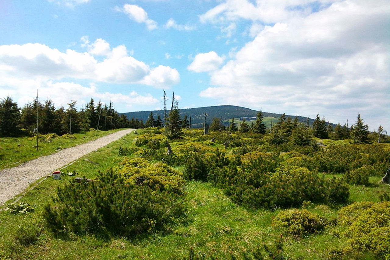
In the far south of Poland the central lowlands slowly rise into the foothills of the Sudeten and Beskid Mountains. The Sudeten Mountains in the southwest are the lower of the two ranges—the highest peak is Śnieżka at 1,603 metres (5,260 ft). Many slopes in the Sudeten range are gentle and have been cultivated or used as meadows and pastures on dairy farms. These mountains gradually give way to the hilly countryside of Silesia.
One of the rivers that flows northward, the Odra (Oder in German), becomes the boundary between Poland and Germany flowing to the Baltic Sea through the harbors and bays north of Szczecin. The Odra is a major river, carrying some barge traffic between Upper Silesia and the Baltic.
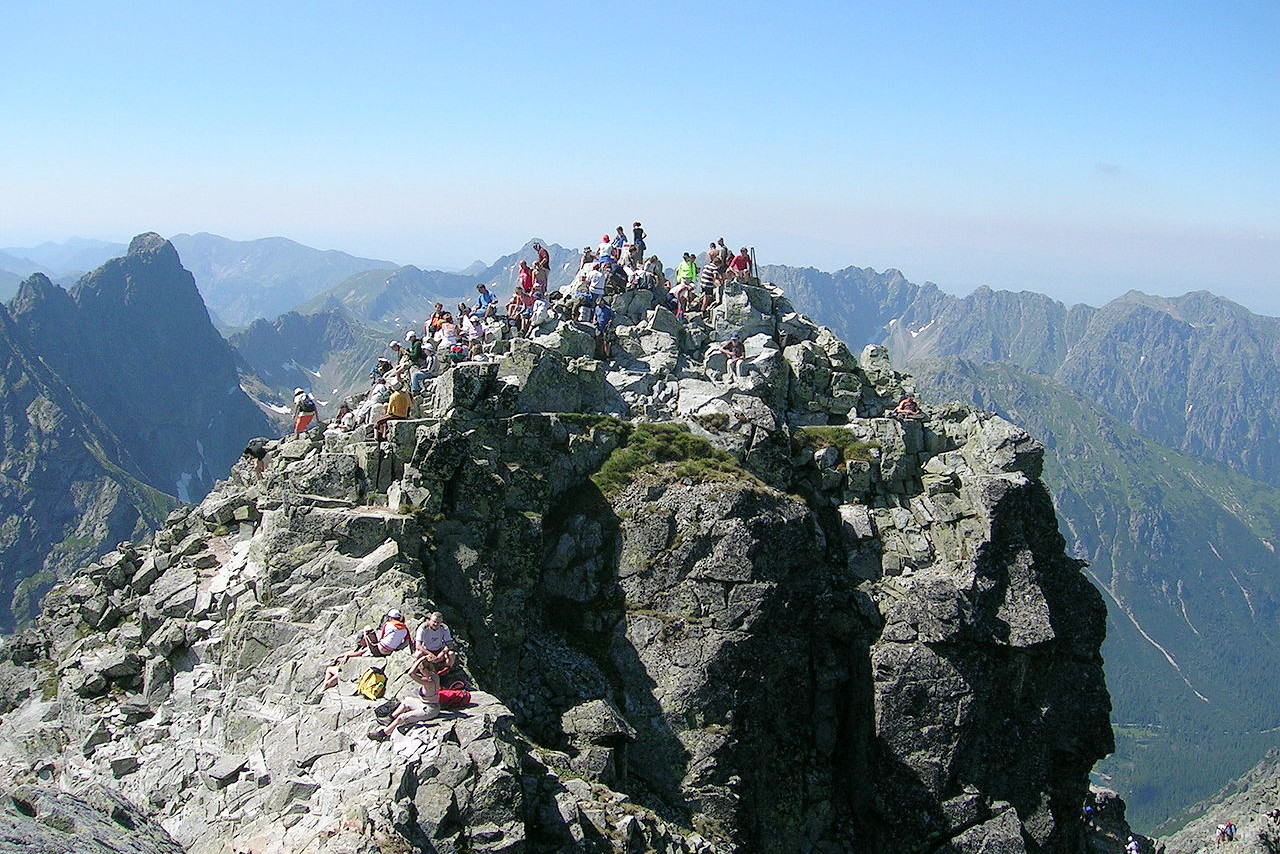
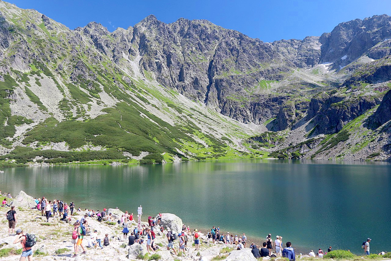
The slopes of the Carpathian Mountains form Poland's southern boundary with Slovakia. These mountains spread in an east-west direction and separate Poland from the Hungarian plains in the south. In Poland the major branch is known as the Beskid Mountains. The highest portion is known as the Tatra (Tatry) range. The country's highest peak is Mount Rysy at 2,503 meters (8,212 feet).
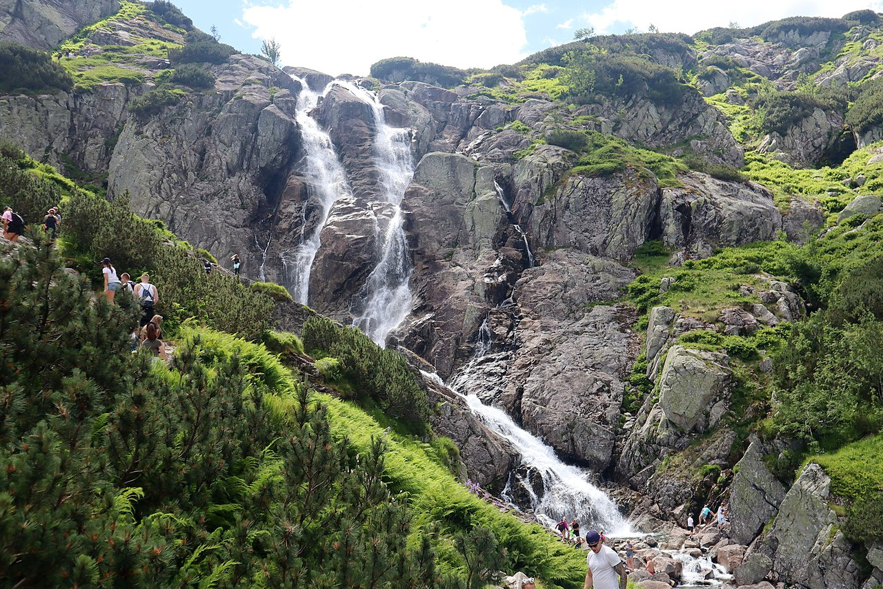
Six other peaks in the Polish portion of the Tatras reach 1,900 meters (6,233 feet) or more. These slopes are more rugged than the Sudeten mountains; the forests are ancient and hardly changed by human activity.. Over twenty-five hundred caves have been identified in this region—most clustering in the south-central part of the country, in the western Tatra Mountains and around Kraków.
What is the nature of Poland like?
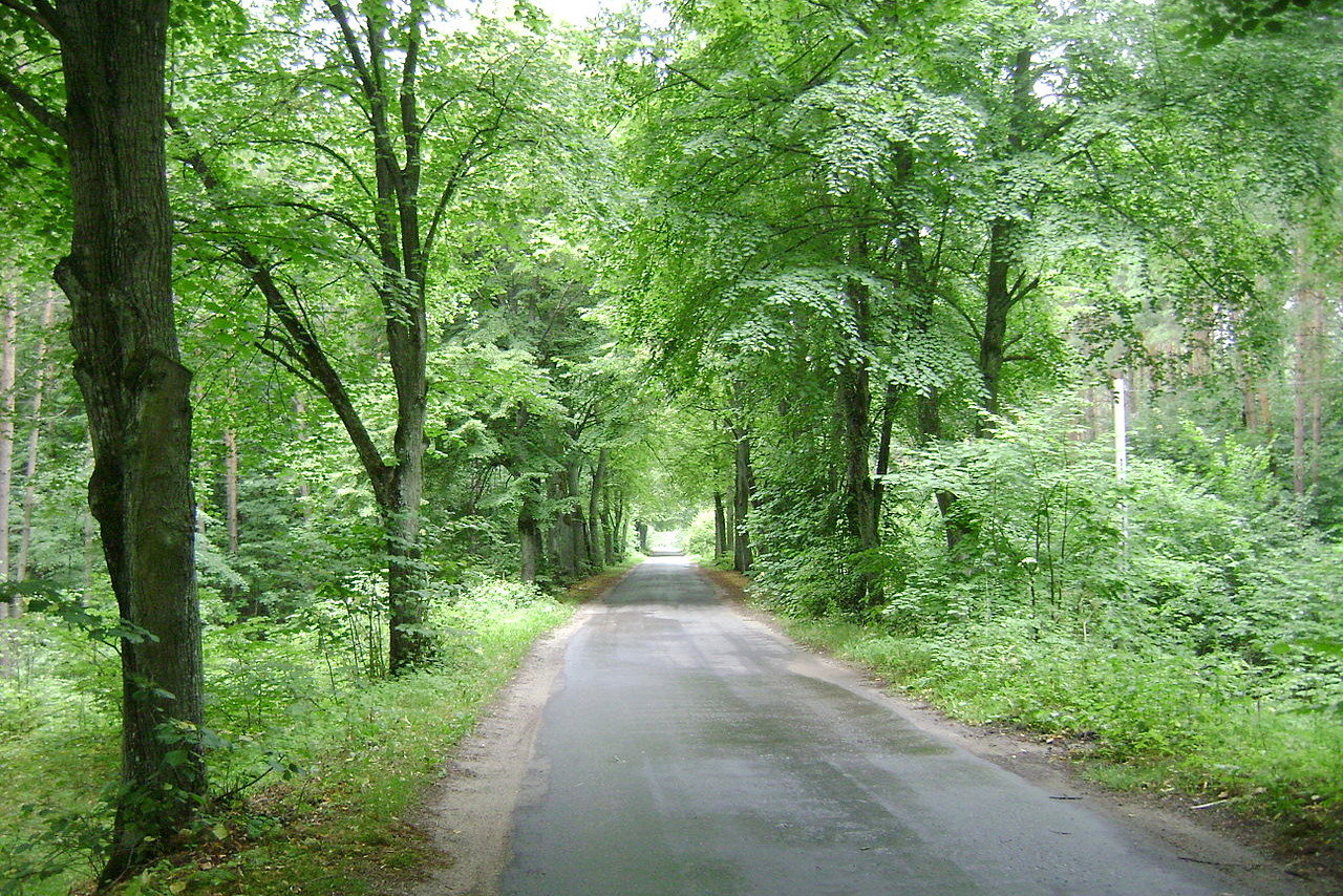
Around one-third of Poland's land is forested. Coniferous forest of pine, larch, spruce, and fir dominate the northern third of the country, but these are interspersed with deciduous species such as beech and birch. Further south, the beech and aspen are found nearly everywhere. The lime appears in groves in the east—it is the most popular tree with the Poles; judgment of old was pronounced under its shade, and the folk songs repeat its name. The oak—another venerated tree in Poland, grows in conjunction with the beech, etc. The black alder lines the banks of the rivers and canals.
_008.jpg&oldid=474663887)
_009.jpg&oldid=488169932)
Poland is unique in that it has areas that include some of Europe’s oldest primeval forests. These preserved woodlands were established soon after the glaciers retreated at the end of the Ice Age, some 12,000 to 8,000 years ago. In the east these forests extend from Poland’s borders with Belarus and Lithuania. The largest and most important is Białowieża Forest which straddles the border between Poland and Belarus. In the west there are extensive forests between Szczecin and the Czech border. Central Poland, however, is a land of meadows, river valleys, and farmland.
What is the climate of Poland like?
See our main article: The Climate of Poland
Poland has a continental climate moderated by westerly winds. Winters are cold but warmer air from the west frequently enters Poland and protects the country from the blizzards and arctic temperatures of neighboring Ukraine or Belarus. Summers are generally cool to warm. Central and west Poland are exposed to a warm, temperate marine climate with humid summers; whereas eastern Poland experiences a warm summer continental climate.
Rainfall is fairly moderate in the lowlands (500 mm / 20 in annually), but rather higher in the mountains (1300 mm / 50 in). Rainfall is often lower during the winter months, especially in the east, where there may be long periods of cold temperatures but with little snow on the ground. When winter snow does fall, it can remain for weeks or even months.
| Climate data for Warsaw (1991–2020) | |||||||||||||
|---|---|---|---|---|---|---|---|---|---|---|---|---|---|
| Month | Jan | Feb | Mar | Apr | May | Jun | Jul | Aug | Sep | Oct | Nov | Dec | Year |
| Average high °C (°F) | 1.0 (33.8) | 2.6 (36.7) | 7.4 (45.3) | 14.6 (58.3) | 19.8 (67.6) | 23.1 (73.6) | 25.2 (77.4) | 24.7 (76.5) | 19.1 (66.4) | 12.9 (55.2) | 6.5 (43.7) | 2.3 (36.1) | 13.3 (55.9) |
| Daily mean °C (°F) | −1.5 (29.3) | −0.4 (31.3) | 3.2 (37.8) | 9.2 (48.6) | 14.3 (57.7) | 17.7 (63.9) | 19.7 (67.5) | 19.1 (66.4) | 14.0 (57.2) | 8.7 (47.7) | 3.8 (38.8) | −0.1 (31.8) | 9.0 (48.2) |
| Average low °C (°F) | −4.0 (24.8) | −3.3 (26.1) | −0.6 (30.9) | 4.0 (39.2) | 8.8 (47.8) | 12.4 (54.3) | 14.5 (58.1) | 13.8 (56.8) | 9.5 (49.1) | 5.0 (41.0) | 1.3 (34.3) | −2.5 (27.5) | 4.9 (40.8) |
| Average precipitation mm (inches) | 31.0 (1.22) | 29.8 (1.17) | 29.0 (1.14) | 35.1 (1.38) | 55.5 (2.19) | 52.4 (2.06) | 40.1 (1.58) | 46.0 (1.81) | 50.4 (1.98) | 40.2 (1.58) | 36.0 (1.42) | 36.1 (1.42) | 481.7 (18.96) |
| Average snowfall cm (inches) | 6.4 (2.5) | 6.6 (2.6) | 4.0 (1.6) | 1.0 (0.4) | 0.0 (0.0) | 0.0 (0.0) | 0.0 (0.0) | 0.0 (0.0) | 0.0 (0.0) | 0.2 (0.1) | 2.4 (0.9) | 3.7 (1.5) | 6.6 (2.6) |
| Source: Institute of Meteorology and Water Management | |||||||||||||
.jpeg) Chapel in Dziekanowice Open air museum, Greater Poland
Chapel in Dziekanowice Open air museum, Greater Poland
.JPG&oldid=454188851)
The official websites
Poland
Let Yourself Be Enchanted
| Location: | Central Europe, east of Germany |
| Coordinates: | 52° 00′ N, 20° 00′ E |
| Size: | • 650 km N-S; 690 km E-W • 400 miles N-S; 430 miles E-W |
| Terrain: | Mostly flat plain; hills and mountains along southern border |
| Climate: | Temperate with cold winters with rain and snow; warm summers with showers |
| Highest point: | Rysy 2,501 m / 8,205 ft |
| Forest: | 30.6% (2011 est.) |
| Population: | 38,282,325 (July 2020 est.) |
| Population density: | Medium (123/km²) |
| Capital: | Warsaw |
| Languages: | Polish (official) 98.2%, Silesian 1.4%, other 1.1% (2011 est.) |
| Human Development Index: | Very high (0.880) |
| Currency: | Złoty |