The Geography of the
East of England
Why visit the East of England?
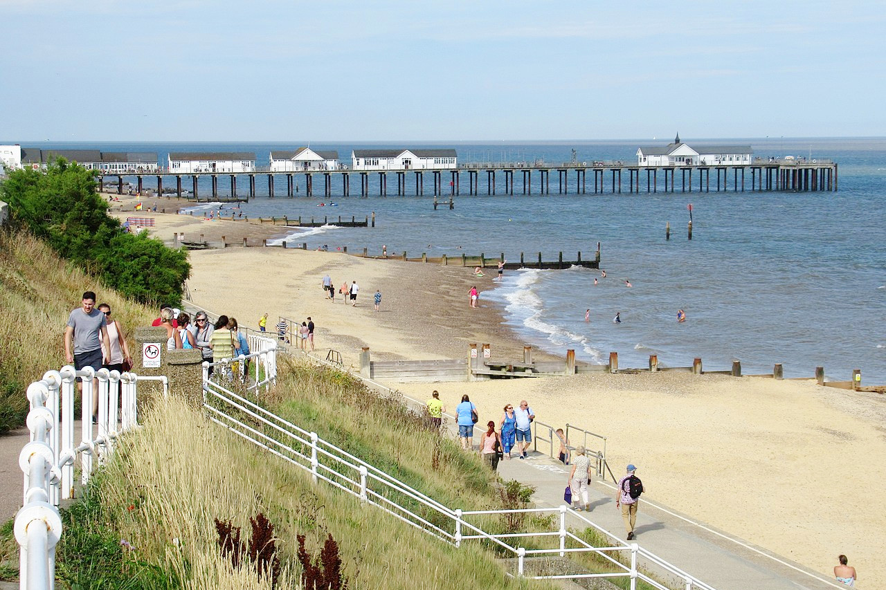
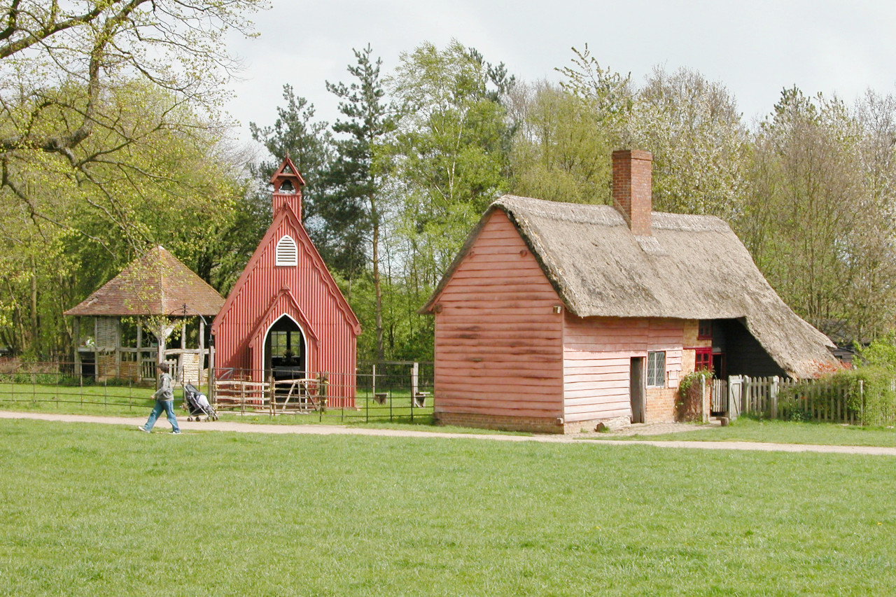
The East of England is one of the most beautiful regions in the United Kingdom. The region has historic architecture, expansive wetlands, and a vast network of lakes and rivers. The East of England also has a rich history and is home to a number of interesting historical sites, including Roman remains, Normal motte-and-bailey castles, and Tudor keeps.
Contents
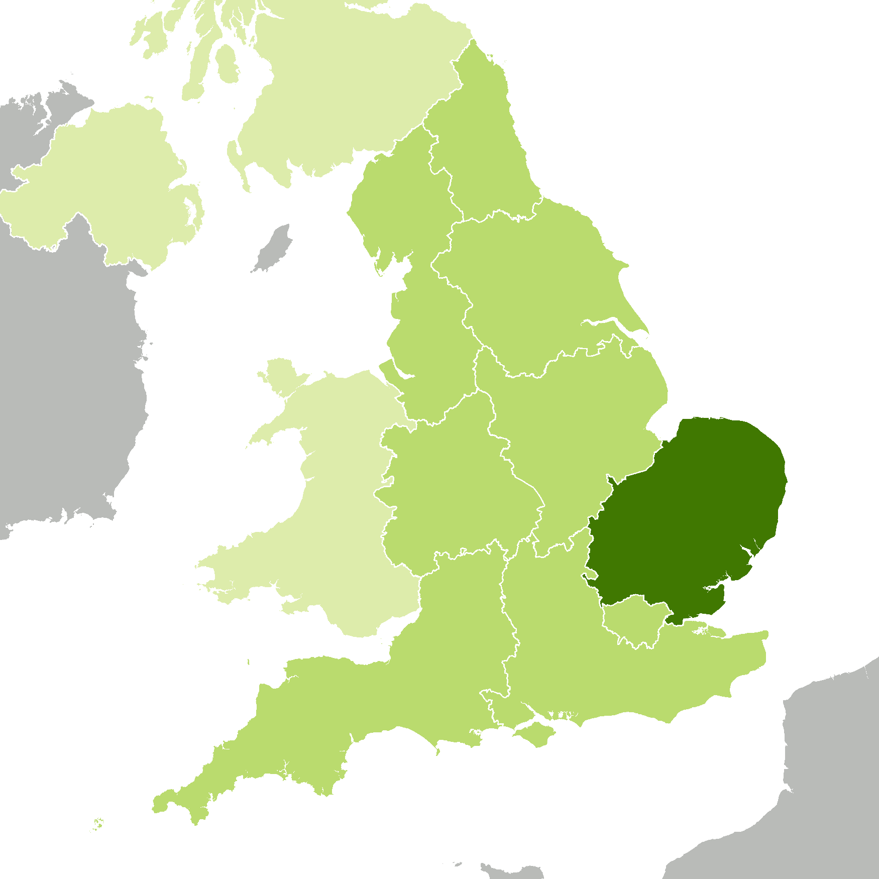
Map
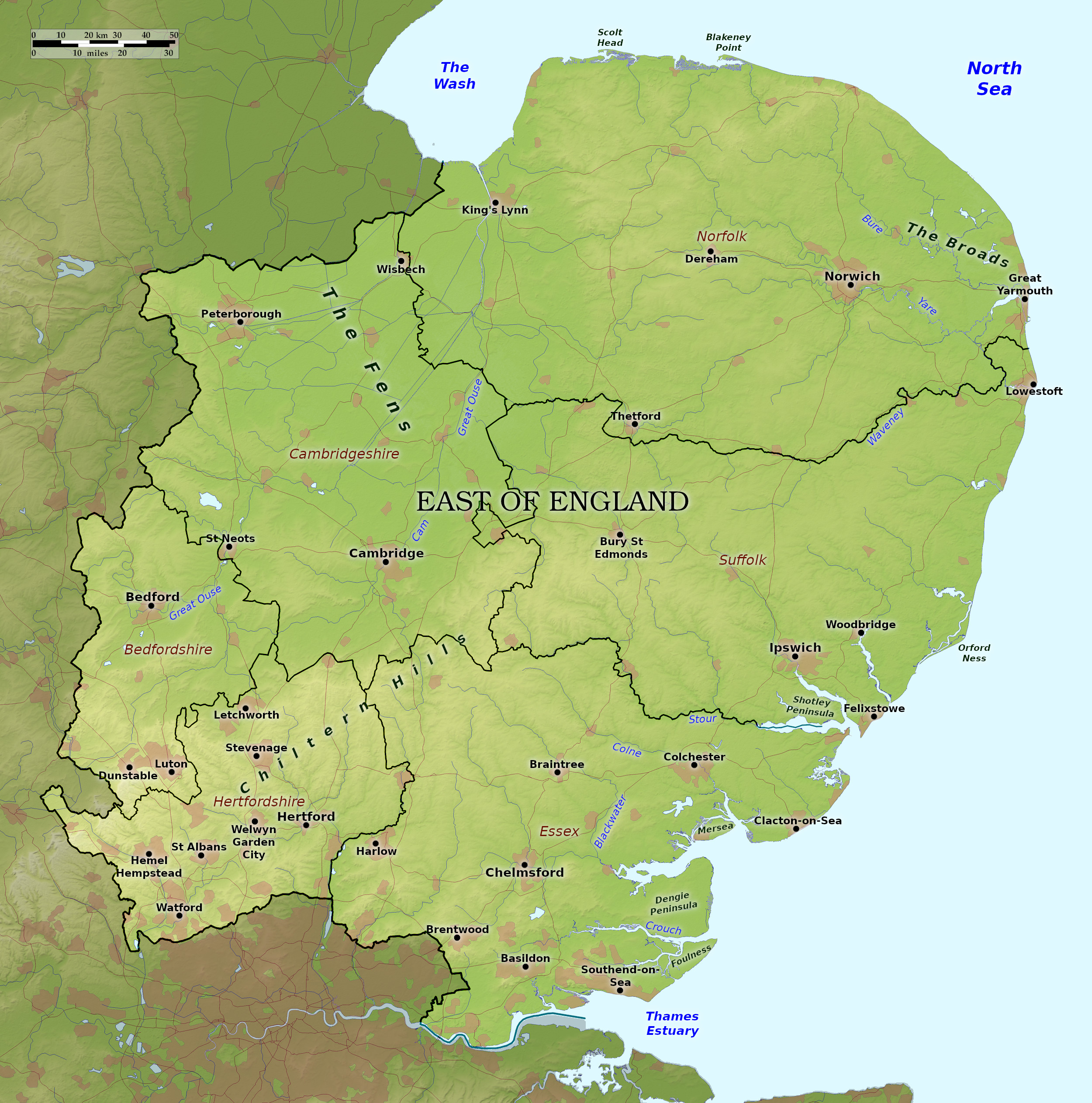 Relief map of the East of England
What is the landscape of the East of England like?
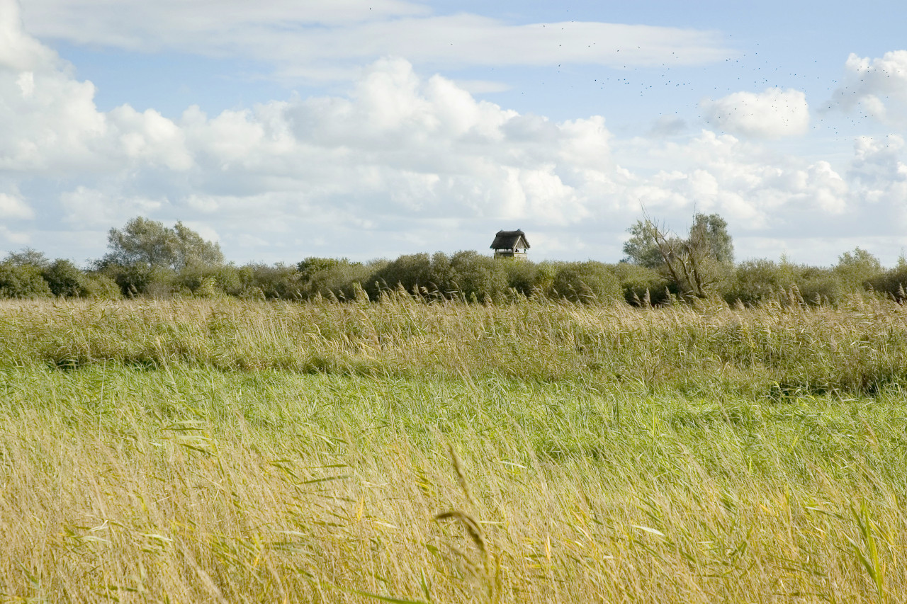
The northwest of this region is a very flat country. The northern half of Cambridgeshire is known as the Fens, a lowland which once overflowed with water, although artificial channels now drain the countryside. Cambridge is one of the great university towns in England—Cromwell, Wordsworth and Darwin all studied here. Ely is known for its ancient and beautiful cathedral. Bedfordshire has a very gently rolling landscape with an alluvial soil—(that is, the deposit of ancient waters) and has a great variety of shells and other fossil remains.
Hertfordshire is an inland county; the northern portion of which is the heart of the Chiltern Hills, abounding with chalk; and flint stones are thickly spread over the surface. Market towns and villages dot the landscape, many of which remain unspoilt despite the county's close proximity to London. Essex has a rolling landscape of low hills and river valleys. Timbered houses, moated manors, and church towers enrich towns and villages which prospered from wool and weaving in medieval times.
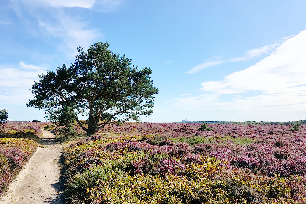
The eastern part of this region is known as East Anglia. It is a strangely beautiful, flat, moorlike country. The territory of English painters, it is where Constable and Turner produced lovely paintings. There are many charming towns and villages. Norfolk is a generally flat county of church towers, windmills, sand dunes, marshes, and pine woods. Miles of waterways, known as The Broads, can be found near the east coast enjoyed by boating enthusiasts and naturalists alike. Suffolk is very similar to Norfolk, but besides arable lands, it contains sandy heaths and chalky lowlands.
What is the climate of the East of England like?
The climate of the East of England is generally dry and mild. The region is the driest in the United Kingdom with many areas receiving less than 600 mm (24 in) of rain a year. Rainfall is fairly evenly distributed throughout the year. Sunshine totals tend to be higher towards the coastal areas.
| Climate data for Cambridge (1991–2020) | |||||||||||||
|---|---|---|---|---|---|---|---|---|---|---|---|---|---|
| Month | Jan | Feb | Mar | Apr | May | Jun | Jul | Aug | Sep | Oct | Nov | Dec | Year |
| Average high °C (°F) | 7.7 (45.9) | 8.3 (46.9) | 11.0 (51.8) | 14.1 (57.4) | 17.4 (63.3) | 20.4 (68.7) | 23.1 (73.6) | 22.9 (73.2) | 19.6 (67.3) | 15.1 (59.2) | 10.7 (51.3) | 8.0 (46.4) | 14.9 (58.8) |
| Daily mean °C (°F) | 4.8 (40.6) | 5.0 (41.0) | 7.0 (44.6) | 9.4 (48.9) | 12.4 (54.3) | 15.4 (59.7) | 17.8 (64.0) | 17.7 (63.9) | 15.0 (59.0) | 11.5 (52.7) | 7.6 (45.7) | 5.1 (41.2) | 10.8 (51.4) |
| Average low °C (°F) | 1.9 (35.4) | 1.8 (35.2) | 3.1 (37.6) | 4.6 (40.3) | 7.4 (45.3) | 10.5 (50.9) | 12.6 (54.7) | 12.6 (54.7) | 10.5 (50.9) | 7.9 (46.2) | 4.5 (40.1) | 2.2 (36.0) | 6.4 (43.5) |
| Average precipitation mm (inches) | 48.9 (1.93) | 35.7 (1.41) | 32.9 (1.30) | 37.6 (1.48) | 43.2 (1.70) | 49.1 (1.93) | 48.2 (1.90) | 55.9 (2.20) | 47.6 (1.87) | 58.7 (2.31) | 52.6 (2.07) | 49.2 (1.94) | 559.4 (22.02) |
| Source: Met Office | |||||||||||||
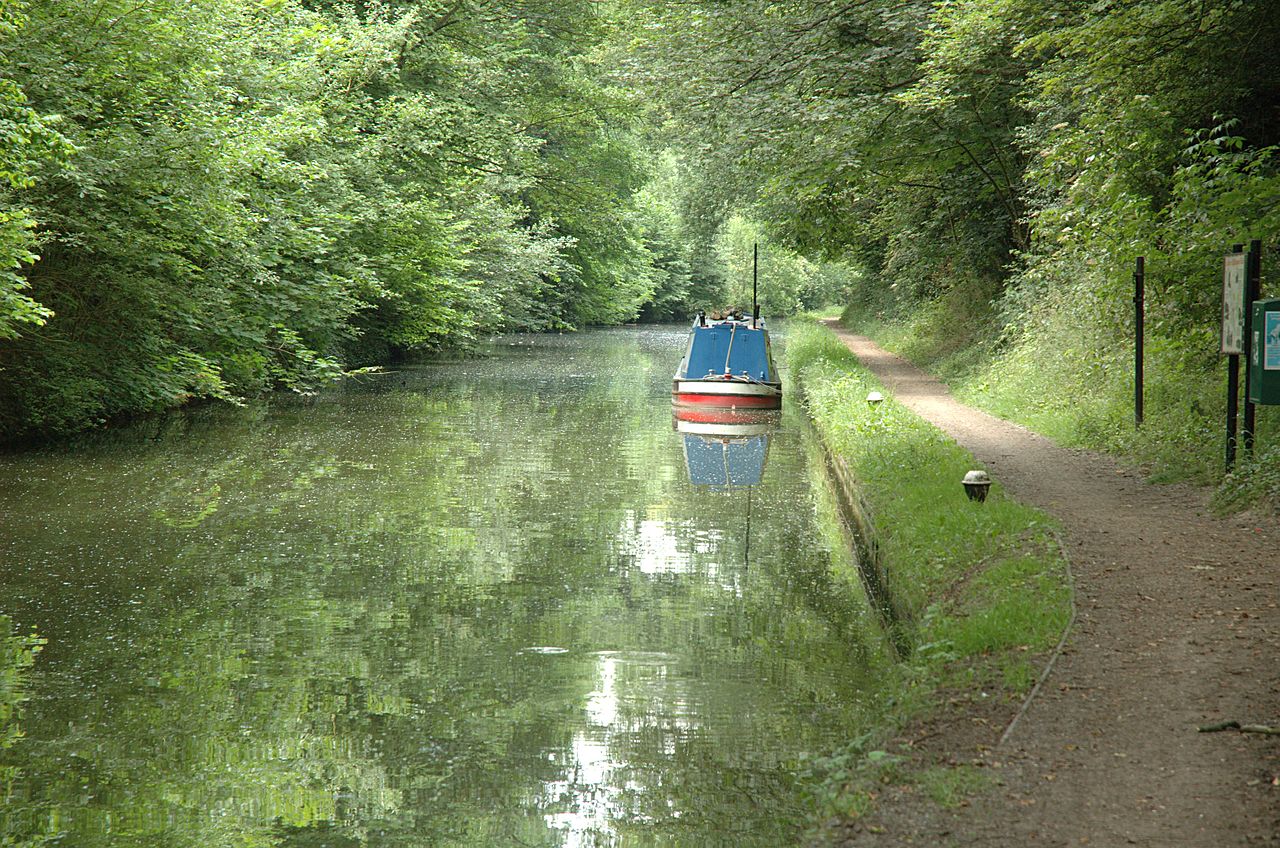
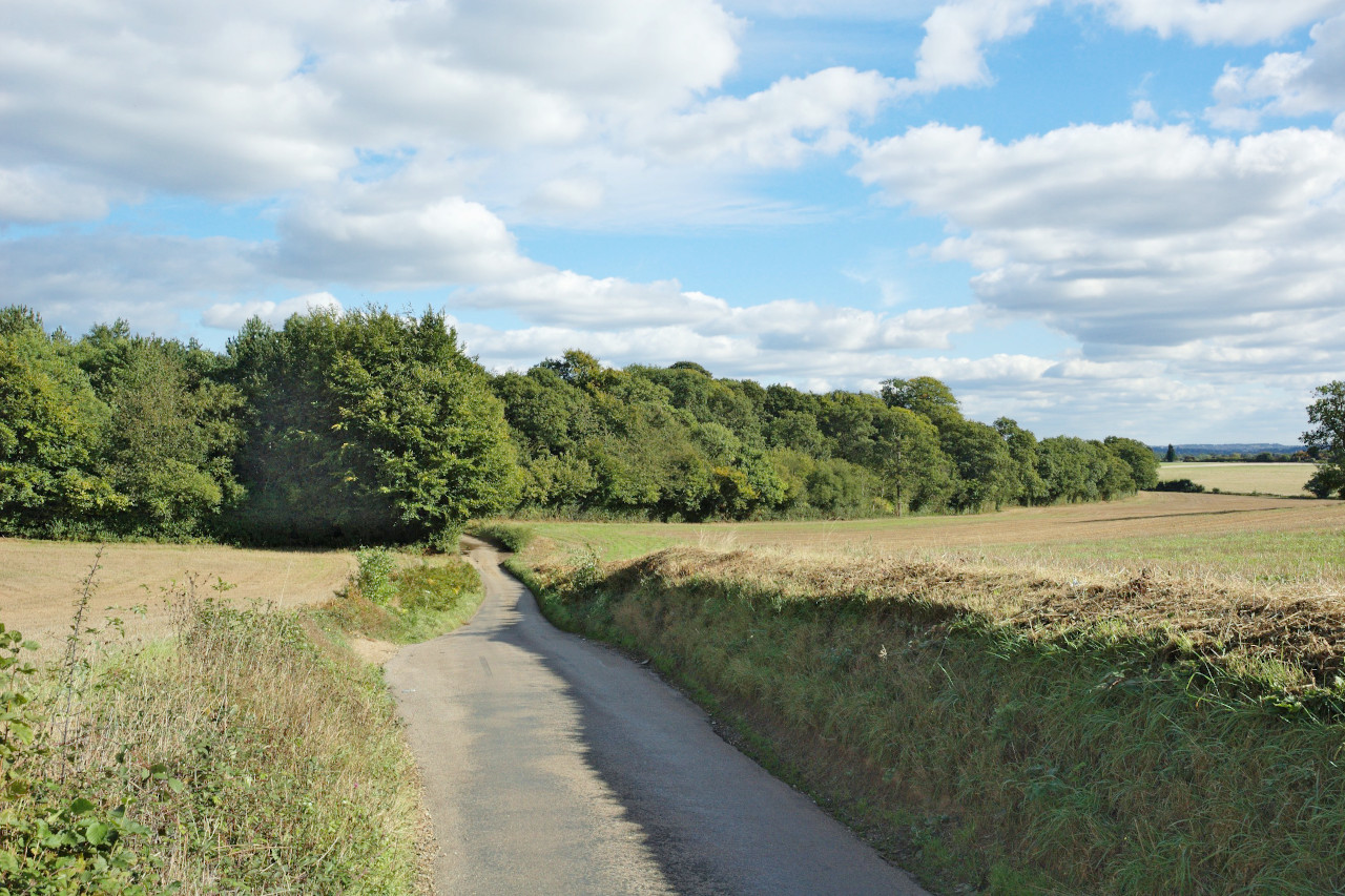 Ragged Hall Lane, Hertfordshire
The official websites
East of England
Chalk hills and low fenland
| Location: | East-southeast Britain |
| Coordinates: | 52° 15′ N, 0° 30′ E |
| Size: | • 170 km N-S; 170 km E-W • 105 miles N-S; 105 miles E-W |
| Terrain: | Mostly flat with areas of low rolling hills and countryside |
| Climate: | Maritime climate with warm summers; cool winters; year-round rainfall, but relatively dry |
| Highest point: | 244 m / 801 ft |
| Forest: | 10% (2010 est.) (source) |
| Population: | 5,847,000 (2011) |
| Population density: | High (310/km²) |
| Capital: | — |
| Languages: | English |
| Human Development Index: | Very High (0.920) |

.jpg)
