The Geography of
Uruguay
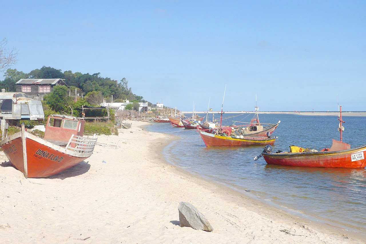
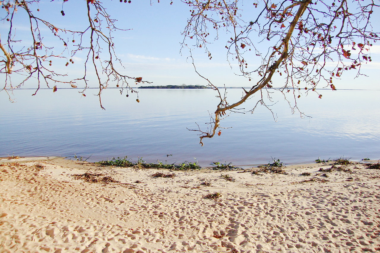
Uruguay is notable for its delightful capital and its 200 miles of coastal resorts. Vacationers from all over the continent, even from far-off Rio de Janeiro, flock to the "Riviera of South America," with its dazzling sandy beaches. Summer days (from December to March) are beautifully warm, with cooling breezes from the sea.
Contents
Map
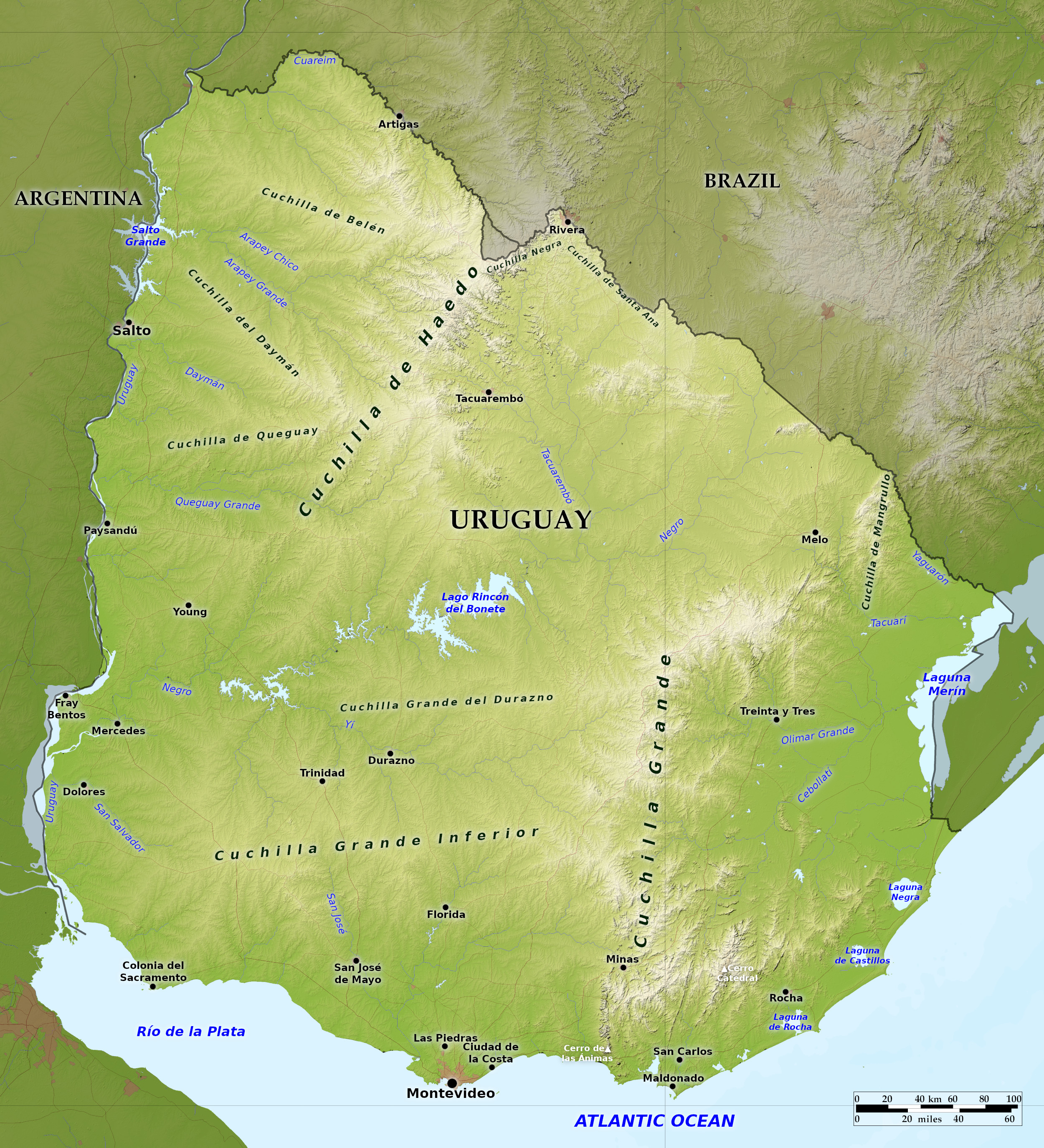 Relief map of Uruguay
What is the landscape of Uruguay like?
Uruguay is the smallest of the Spanish-speaking South American countries, and among the more wealthier countries. Uruguay is bordered on the east and south by the Atlantic Ocean and the Río de la Plata, and on the north by Brazil. In the west, the Uruguay River separates the country from Argentina.
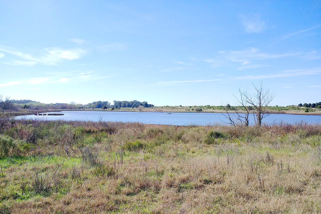
The country lies on the northern shores of Río de la Plata, and consists of the southern extreme of the Brazilian highlands, but on the whole it is a region of rolling, grassy hills, with few forests and no mountains. The country lying along the Atlantic is low and sandy, and contains many lagoons. The west and south is composed of beautiful fertile plains, not quite level like the Argentine pampas lying west of the Río Uruguay, but undulating gently. This region is intersected by numerous arroyos, or small streams, while vegetation is very thick in the neighbourhood of the rivers.
What is the nature of Uruguay like?
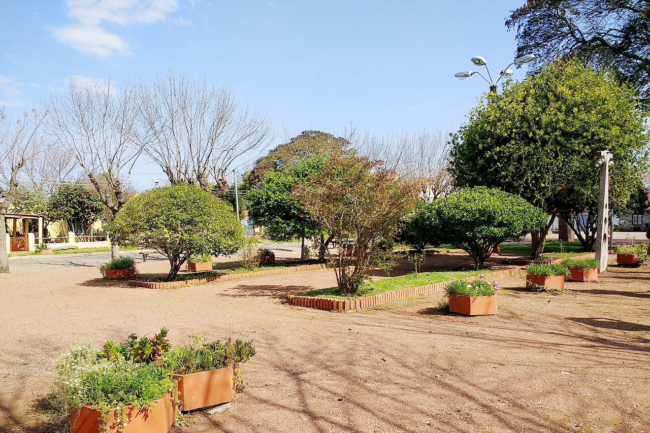
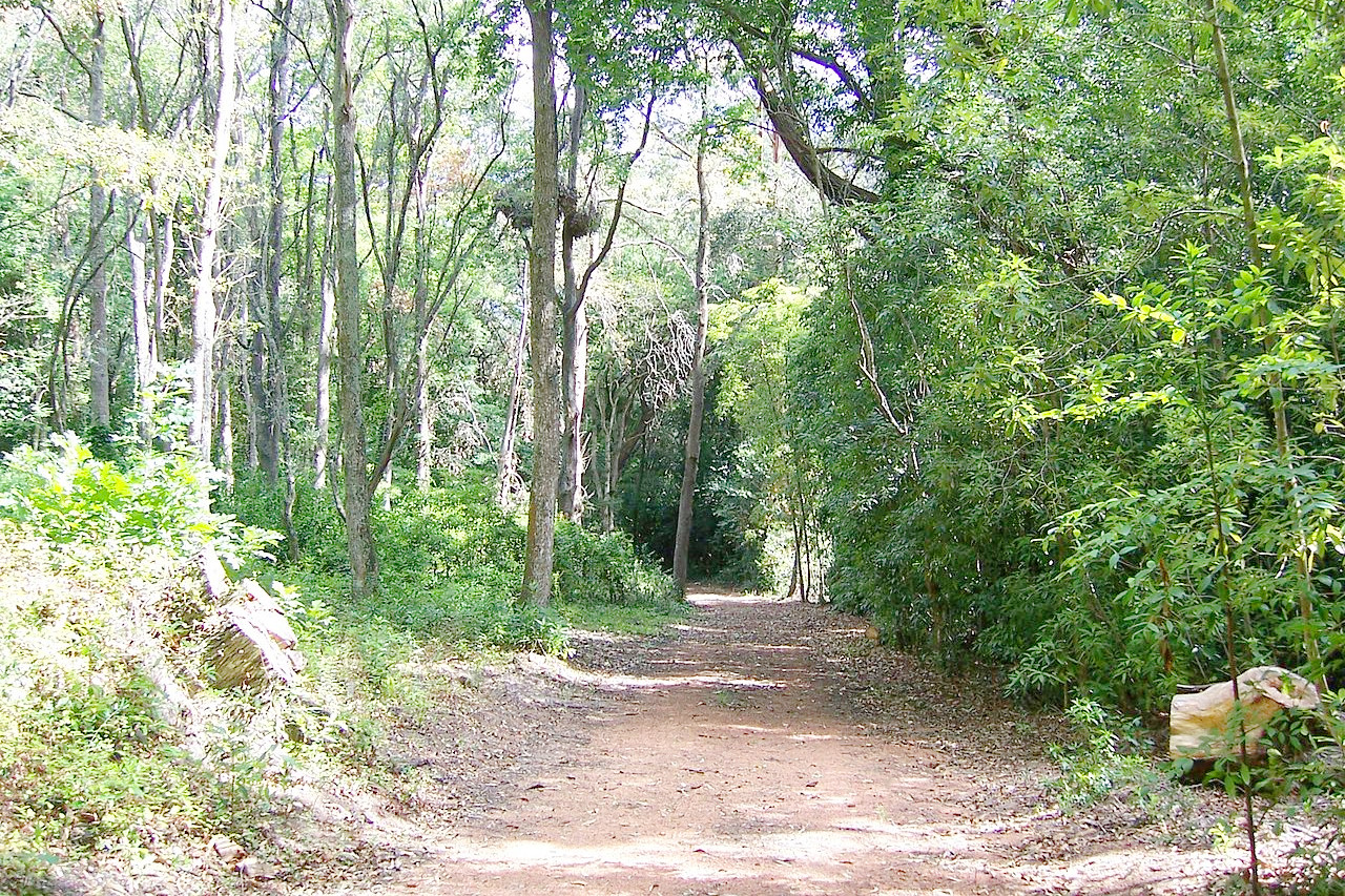
Uruguay as a whole is a grassland region, the rich black soil of the plains producing prairie grasslands superior even to those of Argentina. Though the river banks of Uruguay are well wooded, there are few extensive forests in Uruguay. Noteworthy indigenous trees include the algarobo, the quebracho, and the nandubay. Palms are found in the valleys of the south and west. Many European trees have been introduced—acacia, alder, aloe, mulberry, oak, willow, eucalyptus and poplar. Common flowering shrubs are the myrtle, rosemary, mimosa and especially the scarlet-flowered ceibo. The valleys within the hill ranges are fragrant with aromatic shrubs. In the plains below, the fields are bright with the scarlet and white verbena and other brilliant wild flowers.
What is the climate of Uruguay like?
See our main article: The Climate of Uruguay
The almost peninsular position of Uruguay gives it a delightful climate, with temperature ranging from 0° to 30°C (32° to 88°F). The northern regions are subject to extremes of heat and cold, but in the south the temperature is very moderate. Occasionally in the lowlands the temperature rises to 38°C (100°F) in February, while frosts are common in the upland regions, where occasional snows also occur at long intervals. Rains are plentiful and well-distributed throughout the year. During the winter months cold storms, known as pamperos, blow from the southwest.
| Climate data for Montevideo (1980–2009) | |||||||||||||
|---|---|---|---|---|---|---|---|---|---|---|---|---|---|
| Month | Jan | Feb | Mar | Apr | May | Jun | Jul | Aug | Sep | Oct | Nov | Dec | Year |
| Average high °C (°F) | 27.7 (81.9) | 26.8 (80.2) | 25.3 (77.5) | 21.7 (71.1) | 18.2 (64.8) | 15.2 (59.4) | 14.5 (58.1) | 16.3 (61.3) | 17.5 (63.5) | 20.8 (69.4) | 23.3 (73.9) | 26.0 (78.8) | 21.1 (70.0) |
| Daily mean °C (°F) | 23.2 (73.8) | 22.7 (72.9) | 21.3 (70.3) | 17.9 (64.2) | 14.5 (58.1) | 11.7 (53.1) | 11.1 (52.0) | 12.4 (54.3) | 13.7 (56.7) | 16.6 (61.9) | 19.0 (66.2) | 21.5 (70.7) | 17.1 (62.8) |
| Average low °C (°F) | 18.8 (65.8) | 18.7 (65.7) | 17.3 (63.1) | 14.1 (57.4) | 10.9 (51.6) | 8.3 (46.9) | 7.6 (45.7) | 8.5 (47.3) | 9.9 (49.8) | 12.5 (54.5) | 14.7 (58.5) | 17.0 (62.6) | 13.2 (55.8) |
| Average precipitation mm (inches) | 86.8 (3.42) | 101.5 (4.00) | 104.6 (4.12) | 85.5 (3.37) | 89.0 (3.50) | 83.1 (3.27) | 86.4 (3.40) | 88.2 (3.47) | 93.9 (3.70) | 108.5 (4.27) | 89.3 (3.52) | 84.4 (3.32) | 1,101.2 (43.35) |
| Source: Instituto Nacional de Investigación Agropecuaria | |||||||||||||
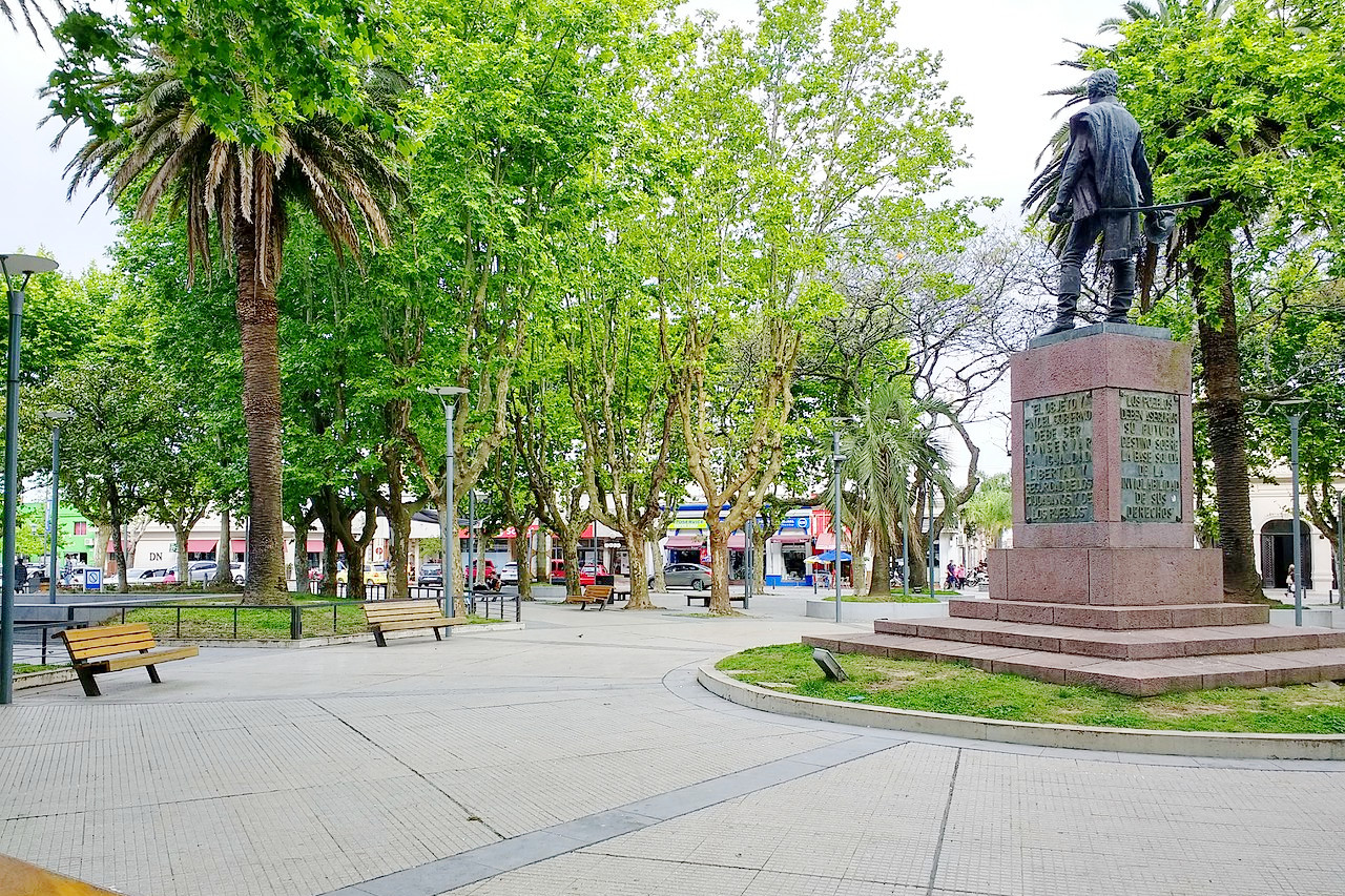
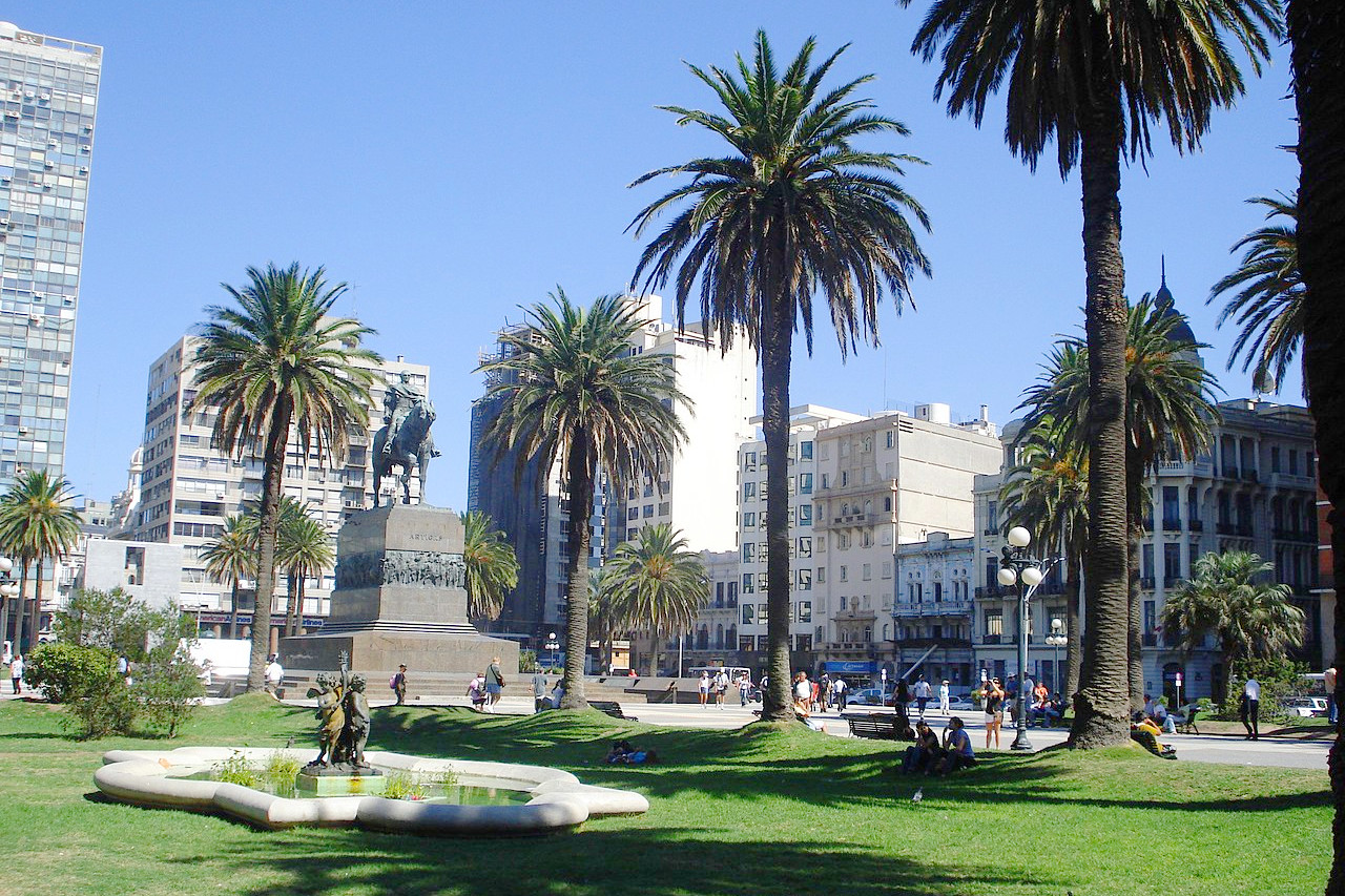 Plaza Independencia, Montevideo
Uruguay
Uruguay natural
| Location: | Southern South America, bordering the Atlantic Ocean, between Argentina and Brazil |
| Coordinates: | 17° 00′ S, 55° 45′ W |
| Size: | • 550 km N-S; 505 km E-W • 345 miles N-S; 315 miles E-W |
| Terrain: | Mostly rolling plains and low hills; fertile coastal lowland |
| Climate: | Temperate and warm |
| Highest point: | Cerro Catedral 514 m / 1,685 ft |
| Forest: | 11% (2015 est.) (source) |
| Population: | 3,407,213 (2022 est.) |
| Population density: | Low (20/km²) |
| Capital: | Montevideo |
| Languages: | Spanish (official) |
| Human Development Index: | Very high (0.817) |
| Currency: | Uruguayan peso |