The Geography of
Argentina
Why visit Argentina?
Argentina is extremely varied. The country stretches about 2,300 miles (3,700 kilometers) from the subtropical north to the cold, windswept south. Argentina has magnificent grasslands and large expanses of desert area as well. Plant species range from orchids and tropical evergreen trees, to sub-polar flowers and southern beech. Many interesting and colorful animals thrive in the county’s mountains, grasslands, deserts, forests, marshes, and coastal regions. They include llamas, armadillos, condors, and even penguins!
Map
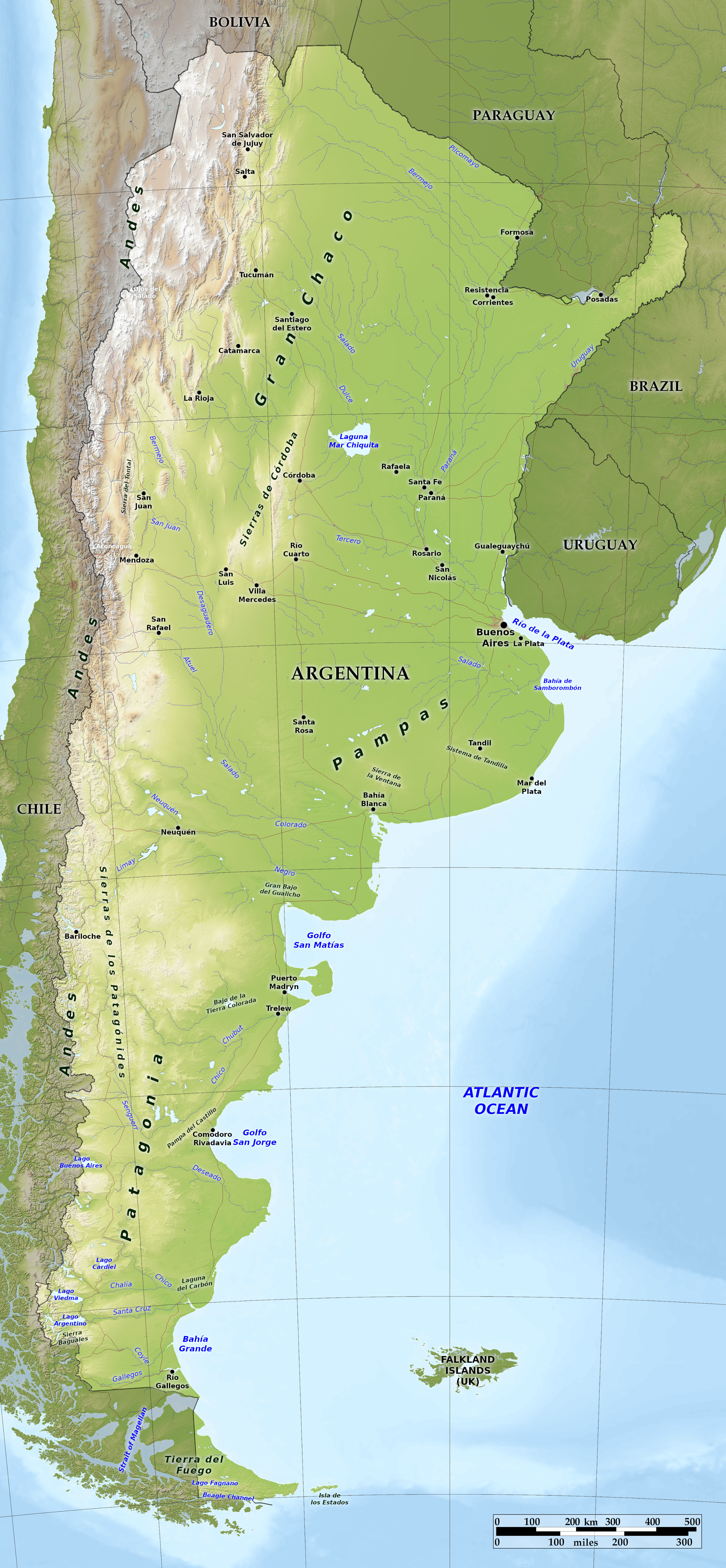 Relief map of Argentina
What is the landscape of Argentina like?
Argentina consists of three main regions: (1) the vast plains draining into to the Rio de la Plata, and including the Pampas and the Gran Chaco; (2) the eastern slopes of the Andes; (3) the rugged plateau of Patagonia, continued beyond Magellan's Strait to Tierra del Fuego.
Pampas and El Gran Chaco
The 250,000 square miles of grassy, level plain to which is given the name of La Pampa is by far the most important region of Argentina. The Pampas is the heart of Argentina. It is the most urbanized and densely populated portion of the country. It occupies nearly one-quarter the area of the country, extending for some 700 miles north and south and reaching westward 400 miles.
By contrast the plains and mountains of western Argentina, except in the irrigated oases, are very sparsely populated. The outstanding characteristic of the region is its dryness. The annual rainfall is low, and comes almost entirely in summer, when the heat causes high evaporation. Thus, even apart from the periodic droughts, the land as a whole is arid. Many rivers come down from the well-watered Andes, but most disappear in the dry lands below, and only two or three flow permanently right across the region. The vegetation varies in accordance with the rainfall. The wetter parts, especially along the river-banks, support woodlands. Other areas have coarse grasses or thorny scrub and desert plants.
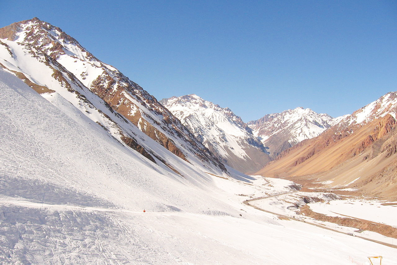
Andes
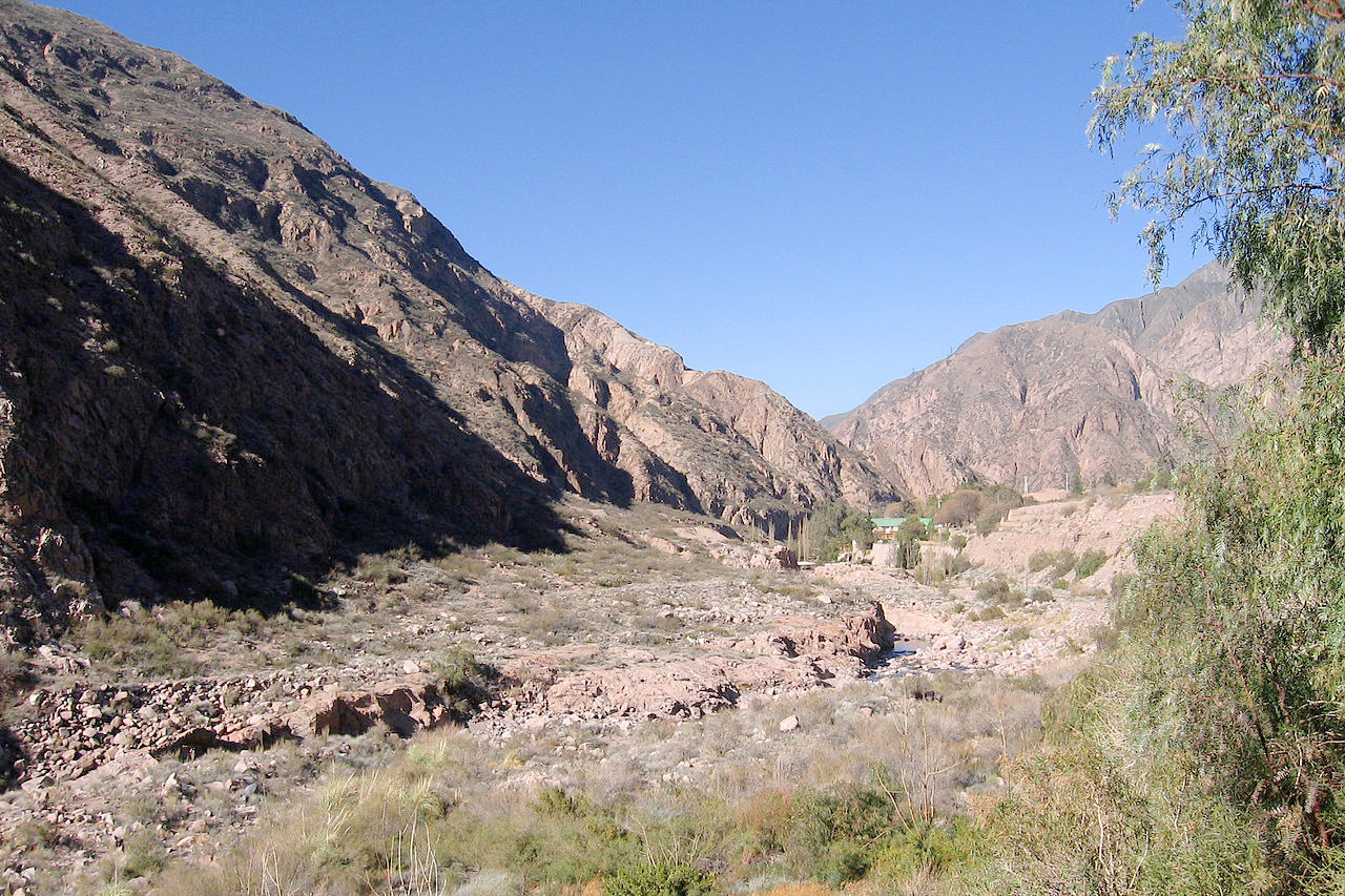
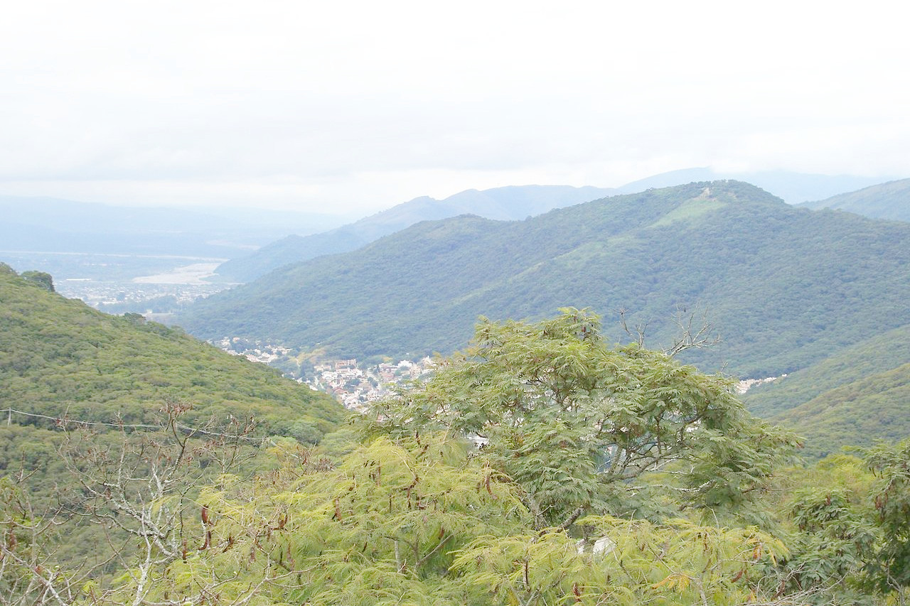
The lower slopes and valleys of the Andes are well watered, and are thus covered with fine forests of cypresses, cedars, and beech trees. Immediately east of the Andes, and merging into the Chaco and pampas farther east, there is a long extent of territory stretching south. From the plains on the eastern side the land rises in mountainous ridges, separated by deep valleys, toward the Andes.
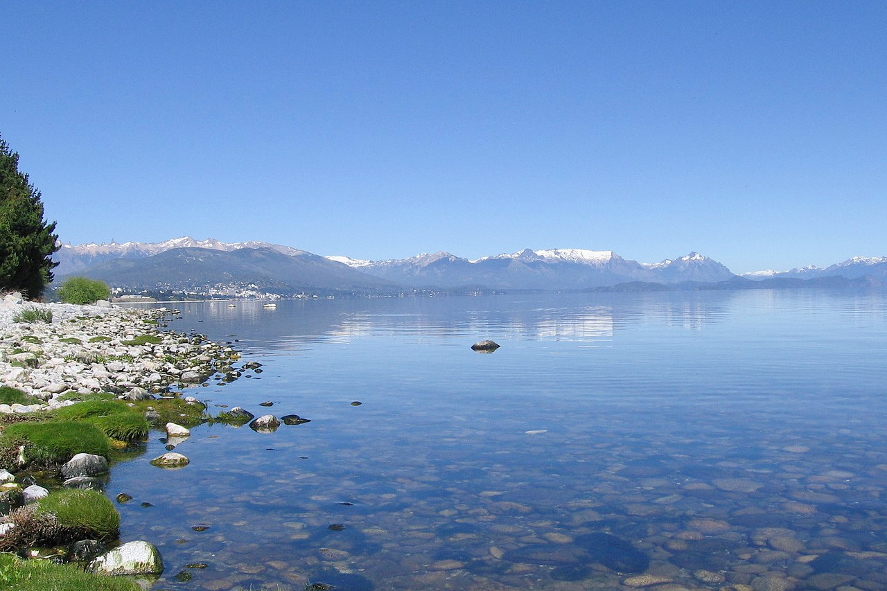
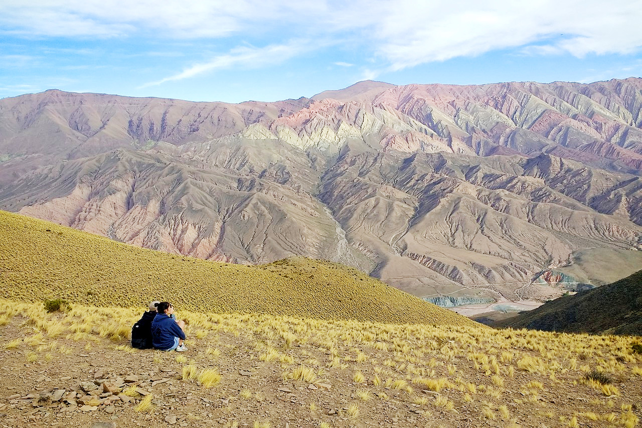
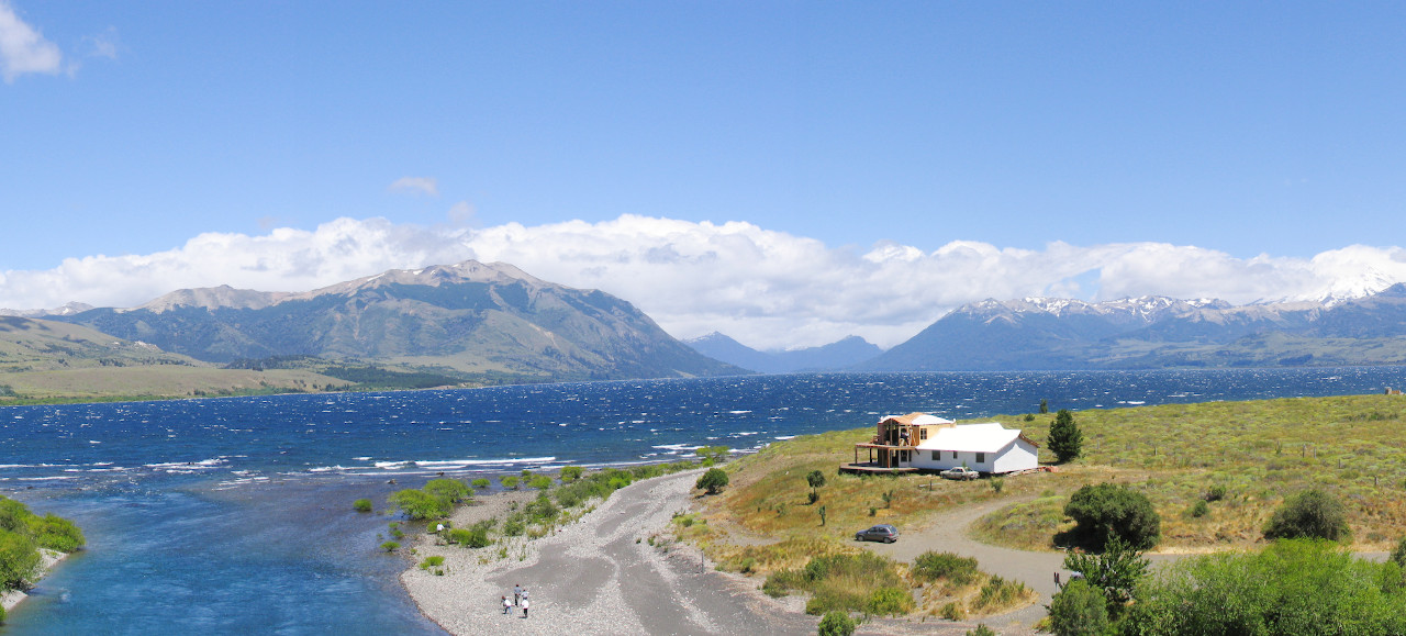
To the west the Andes rise to their most rugged heights. Today, travellers can safely cross this towering backbone of the continent, beholding the grandeur of its skyscraping peaks and yawning canyons. Many Argentines take delight in viewing their beautiful mountains wrapped in crystal-clear air. To Argentines this is a welcome change from the level land of the often dusty pampas. In the southern Andes, blue-veined glaciers slide into the crystal-clear lakes, presenting scenes that attract thousands of tourists.
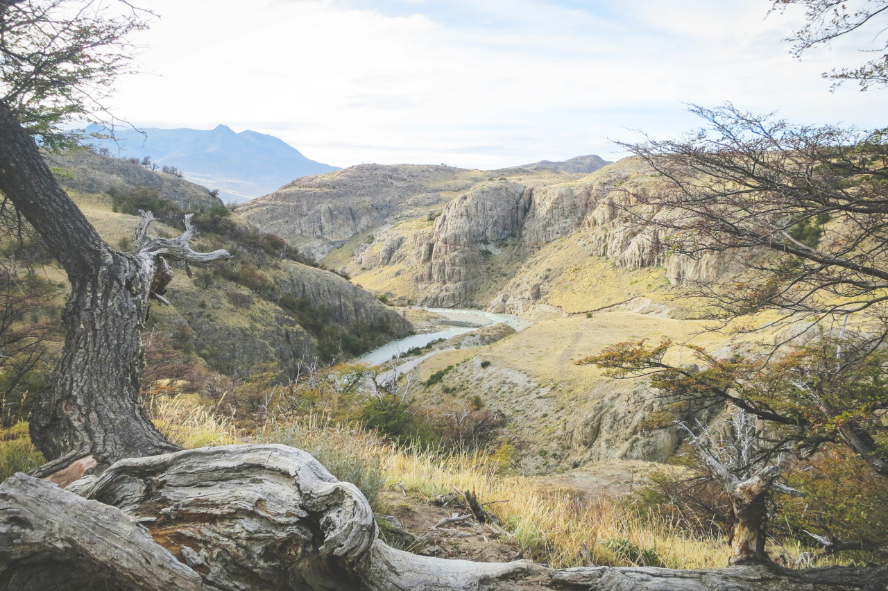
Patagonia
Patagonia stands in marked contrast to the other regions of the country. Its colder climate and plateau nature separates it from the arid plains and mountains to the north and from the flat Pampas to the northeast. Except in the mountains, little rain falls, and the stony land of the plateau has only a scant plant-life of bunch grass and scrub. Snow covers most of Patagonia in winter, and very strong, dry winds blow down from the Andes; thus the population here is very low. The development of national parks in the mountainous lake region bordering southern Chile has however turned that region into an all-year-round vacation spot.
What is the nature of Argentina like?
In the north and northeast of Argentina tropical woodlands are found, to the south and west of which are scattered forests containing temperate species. The slopes of the Andes are well wooded, especially with thorny and shrubby plants, as are the banks of the Parana and the rivers flowing from the west into Paraguay; although the trees do not attain great size. Palms are a distinctive feature of the base of the Sierra de Cordoba and of the northwestern foothills. The Pampas, in the wet season, are covered with clover and thistles, or with tall grass and flowers, verbenas, geraniums, etc.; but here, as well as on the Gran Chaco, there is little to form thickets, except mimosas and cacti. Patagonia has herbs, shrubs, cacti, some tufty grass, brambles, and copse; but is almost treeless, except in the south, and even there only a few species of trees are found, two of them being beeches.
 Lanín National Park, Neuquén Province.
What is the climate of Argentina like?
See our main article: The Climate of Argentina
The northern part of Argentina has a tropical climate, while the central and southern parts are temperate. The climate is very dependent on the direction of the winds. The north typically receives east winds, which convey warm, moist air from the Atlantic Ocean, and cause a very uniform temperature, with heavy rain on the coast which decreases inland. South of the Plata the west winds bring the air from the Pacific Ocean, which has been deprived of its moisture on the Andes. Here, too, the air becomes drier, and the rainfall decreases.
The temperature decreases as you head south. In the north the hottest month averages about 27°C (80°F), and the coldest month about 13°C (55°F). Toward the middle of Argentina the hottest month averages only 24°C (75°F). and the coldest a little less than 10°C (50°F), and at the extreme south the hottest month averages less than 10°C (50°F), and the coldest month has a temperature near freezing.
In general, the rainy season is in summer (October to April), with a winter season that is dry, often leading to drought in the interior. In the extreme northeast the rainfall is moderately heavy. To the west of this there is a zone of moderately light rainfall. Still farther west there is a rapid decrease towards the Andes. On the pampas the weather is variable: changes from the cool, dry south winds to the moist, hot north winds frequently occurring with great suddenness.
| Climate data for Buenos Aires (1981–2010) | |||||||||||||
|---|---|---|---|---|---|---|---|---|---|---|---|---|---|
| Month | Jan | Feb | Mar | Apr | May | Jun | Jul | Aug | Sep | Oct | Nov | Dec | Year |
| Average high °C (°F) | 30.1 (86.2) | 28.7 (83.7) | 26.8 (80.2) | 22.9 (73.2) | 19.3 (66.7) | 16.0 (60.8) | 15.3 (59.5) | 17.7 (63.9) | 19.3 (66.7) | 22.7 (72.9) | 25.6 (78.1) | 28.5 (83.3) | 22.7 (72.9) |
| Daily mean °C (°F) | 24.9 (76.8) | 23.6 (74.5) | 21.9 (71.4) | 17.9 (64.2) | 14.6 (58.3) | 11.6 (52.9) | 11.0 (51.8) | 12.8 (55.0) | 14.6 (58.3) | 17.9 (64.2) | 20.6 (69.1) | 23.3 (73.9) | 17.9 (64.2) |
| Average low °C (°F) | 20.1 (68.2) | 19.2 (66.6) | 17.7 (63.9) | 13.8 (56.8) | 10.7 (51.3) | 8.1 (46.6) | 7.4 (45.3) | 8.8 (47.8) | 10.3 (50.5) | 13.3 (55.9) | 15.9 (60.6) | 18.4 (65.1) | 13.6 (56.5) |
| Average precipitation mm (inches) | 138.8 (5.46) | 127.1 (5.00) | 140.1 (5.52) | 119.0 (4.69) | 92.3 (3.63) | 58.8 (2.31) | 60.6 (2.39) | 64.2 (2.53) | 72.0 (2.83) | 127.2 (5.01) | 117.3 (4.62) | 118.9 (4.68) | 1,236.3 (48.67) |
| Source: Servicio Meteorológico Nacional | |||||||||||||
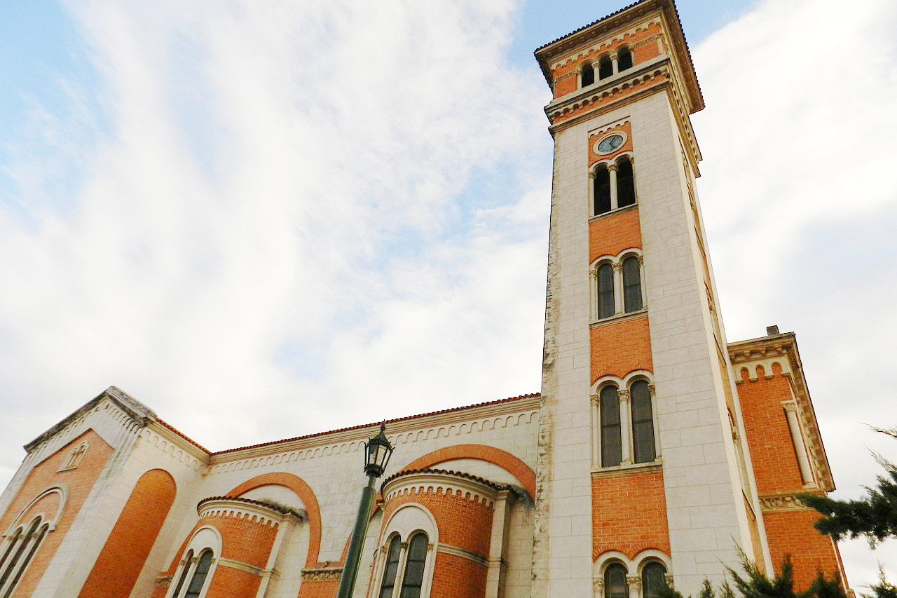
_-_Municipalidad_frente_a_la_plaza_central_(01).JPG) Plaza central, América, Buenos Aires Province
Plaza central, América, Buenos Aires Province
_-_Municipalidad_frente_a_la_plaza_central_(01).JPG&oldid=452102783)
The official websites
Argentina
Beats to your rhythm
| Location: | The southern part of South America on the Atlantic coast |
| Coordinates: | 40° 00′ S, 67° 00′ W |
| Size: | • 3,650 km N-S; 1,450 km E-W • 2,250 miles N-S; 890 miles E-W |
| Terrain: | A mountainous western border along the Andes; a lowland east divided between Patagonia, the Pampas, and a subtropical plain in the north |
| Climate: | Generally temperate, but with great regional variations from the high temperatures of the northern Chaco region to the subantarctic cold of southern Patagonia |
| Highest point: | Aconcagua 6,961 m / 22,837 |
| Forest: | 10% (2015 est.) (source) |
| Population: | 46,245,668 (2022 est.) |
| Population density: | Low (16/km²) |
| Capital: | Buenos Aires |
| Languages: | Argentine Spanish; English popular as a second language |
| Human Development Index: | Very High (0.845) |
| Currency: | Argentinian peso |