The Geography of
Brazil
Why visit Brazil?
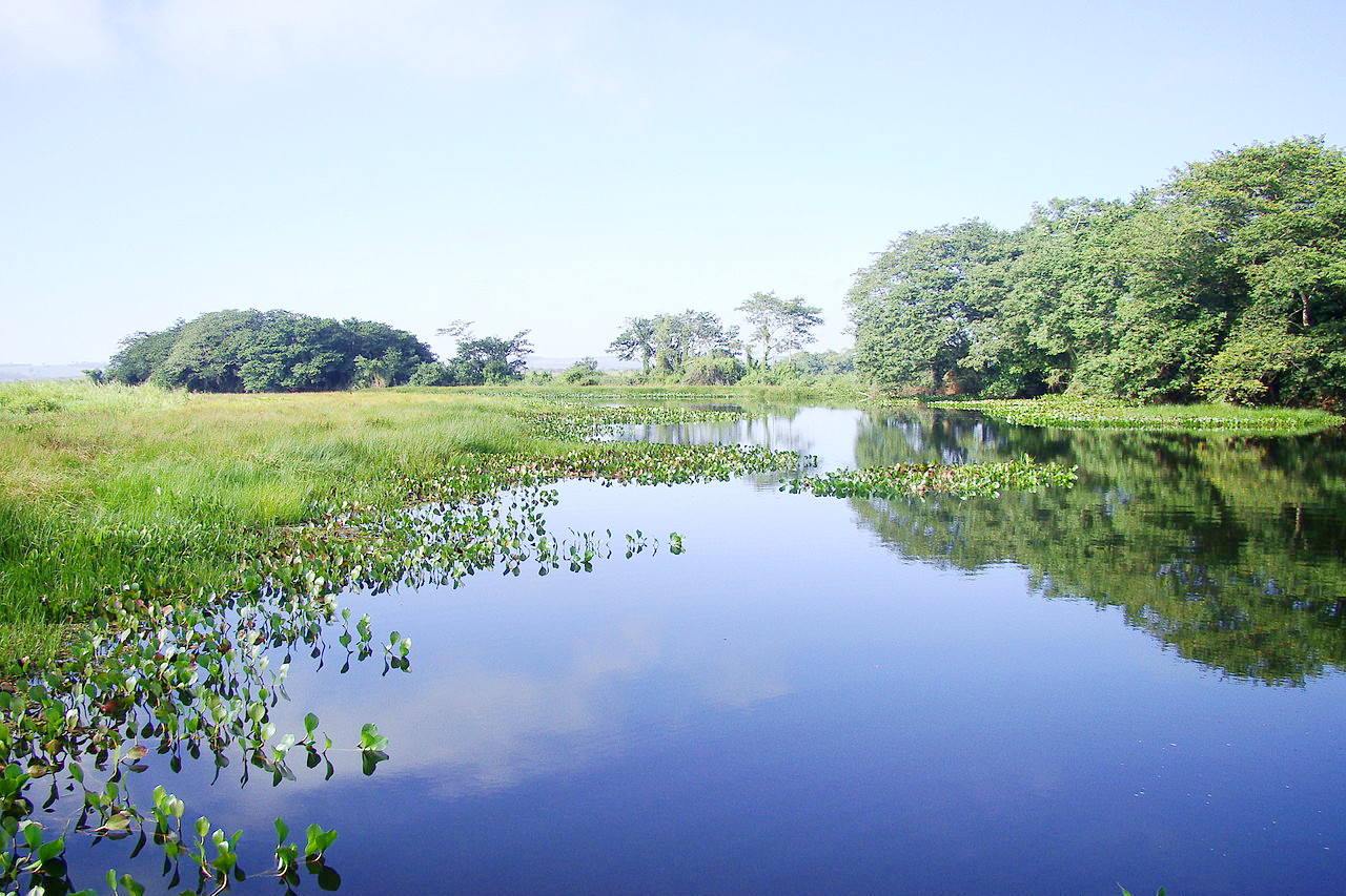
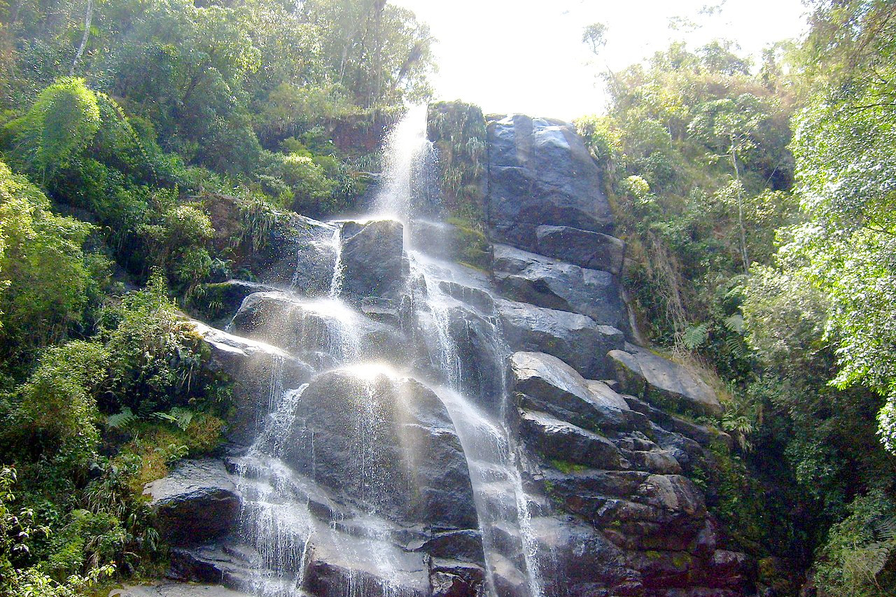
Brazil occupies about one-half of South America, and it contains about half of the continent’s population. It is home to the world's most vast expanse of tropical rain forest and to the planet’s greatest river. Yet within the country’s borders are some of the most remote places in the world. Brazil has one-third of the world's tropical rainforest. It contains 55,000 species of flowering plants (the greatest variety in the world) and 20% of all the world’s bird species.
Contents
Map
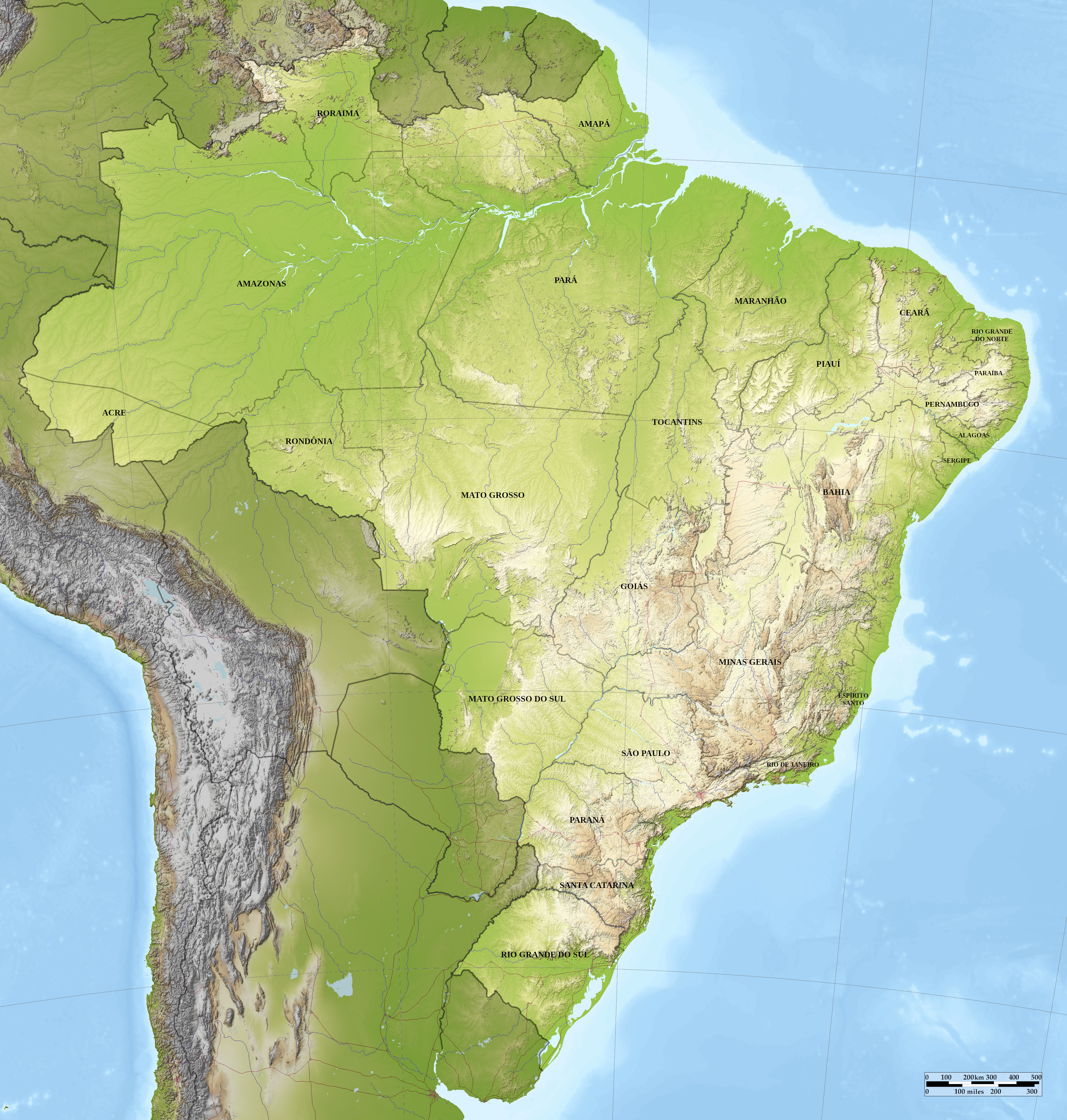 Relief map of Brazil
What is the landscape of Brazil like?
Brazil is the fourth largest country in the world, and covers almost half of the South American continent. Although most of the country is in the tropics, the climate of a large area is moderated by altitude or sea breezes, and the population is concentrated in the southeast. More than half the total area is drained by the Amazon River system. Put simply Brazil is composed of two regions roughly equal in area, but strikingly different in character: the Amazon lowlands and the Brazilian highlands:
The Amazon lowlands
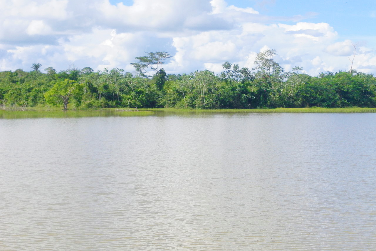
Most of northern Brazil is a large inland basin drained by the Great Amazon River. This vast lowland is sometimes known as Amazonia. Rising in the high Andes near the Pacific coast, the river flows eastward to drain into the Atlantic Ocean. In its 4,000-mile journey to the sea, the main river is joined by over 200 tributary rivers. As a result of the heavy rains over the immense lowland, more water flows to the sea from the Amazon than from any other river in the world.
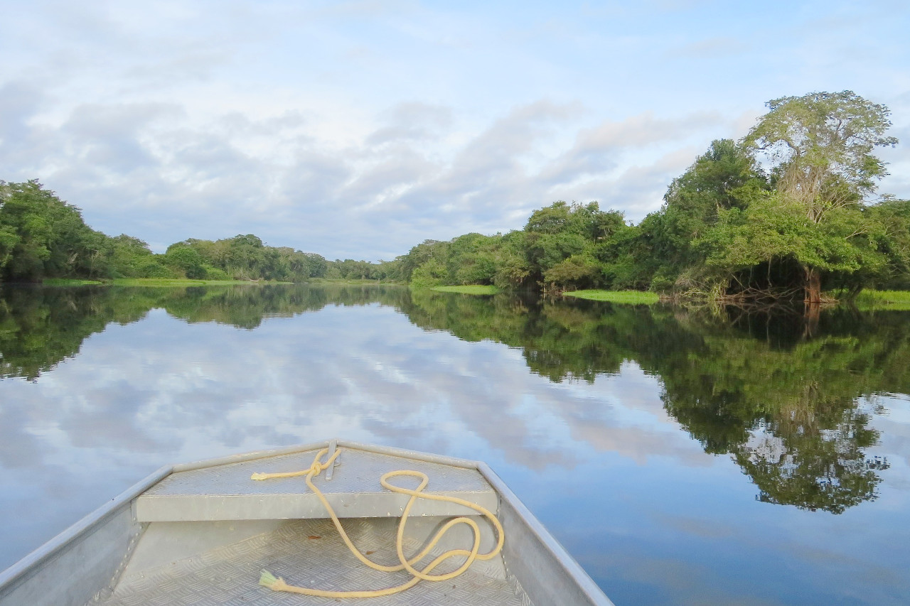
The dense, tropical rainforest of the Amazon is the largest in the world. The effect of the continuously high temperatures and the heavy rainfall is to produce a dense forest with climbing, creeping vines or lianas encircling the stems and looping the upper branches of the tall trees. Thick jungle with dense undergrowth of ferns and shrubs, cover the swampy areas and the river banks.
Brazilian highlands
The Eastern Highland, or Brazilian Plateau, is one of the major upland masses of the world. Along the coast for over 1,000 miles, the eastern escarpment of this plateau rises almost from the shore. Its seaward edge appears like a range of mountains, and from here they slope gently down into the interior. The rivers cut deeply into the highlands create fertile valleys; as a result, the vegetation in these river valleys is dense and rich, and from the air the valleys look like dark green ribbons threading their way across the highland plateaus.
The highlands of eastern Brazil are one of the great physical features of the country. The surface averages about 750 meters (2,500 feet) in height and is surmounted by ranges rising to 2,400 meters (8,000 feet). On the basis of climate, the eastern plateau may be divided into northern, central, and southern sections. The former is distinctly tropical in character. The central section is somewhat milder in temperature and includes three of the leading states Sao Paulo, Minas Geraes, and Rio de Janeiro. The southern section lies south of the tropics and has a warm temperate climate.
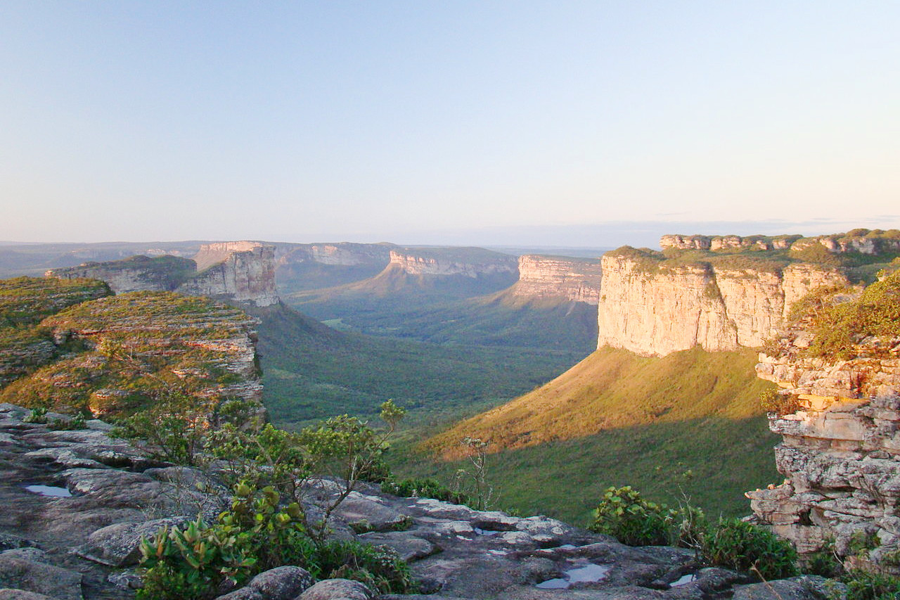 Morro do Pai Inácio, Lençóis, Bahia
The Regions of Brazil
Brazil is one of the nations most worthy of being called the "land of contrasts" due to its size and diversity. The country is often divided into five regions: Norte (North), Nordeste (Northeast), Centro-Oeste (Central-West), Sudeste (Southeast), and Sul (South). The Northeast has the highest proportion of people of African descent, the South and Southeast have the majority of Brazilians of European and Japanese descent, while indigenous peoples live mostly in the North and Midwest.
North
The Equatorial North, also known as the Amazonas or Amazonia, includes the states of Rondonia, Acre, Amazonas, Roraima, Para, Amapa, and Tocantins. The North is the country's largest region, covering 45 percent of Brazil. The main biome of the region is the humid tropical rainforest, also known as rainforest, home to some of the richest biodiversity on the planet.
The Amazon, the mightiest river in the world by volume and the second longest after the Nile, cuts sideways through the northern region of Brazil, and countless tributaries drain a vast basin that occupies three-fifths of Brazil. The river rises in the high Andes near the Pacific coast and flows east to empty into the Atlantic Ocean. Over 200 tributaries join the main stream on its 4,000-mile journey to the sea.
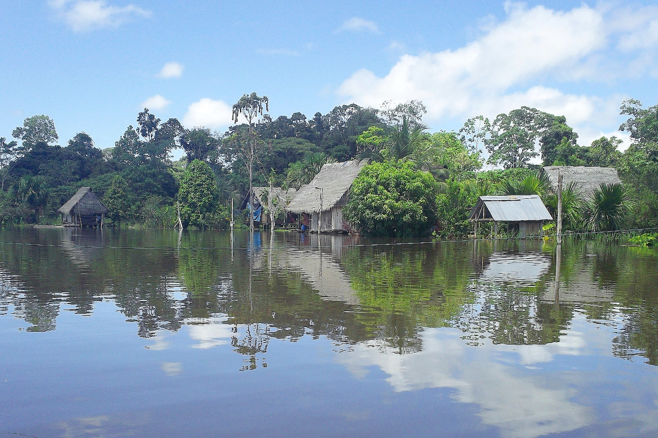
During the heavier rainy season from December to June, the rivers of the Amazon system burst their banks causing widespread flooding. As a result of the heavy rains that fall over the vast lowlands, the Amazon sends more water into the sea than any other river in the world. As the river approaches the sea, it slows down and deposits its silt to form a delta at its mouth.
The vast central lowlands were built from soil washed down by Amazonian tributaries, from the Guiana Highlands to the north, the Andes Mountains to the west, and the Brazilian Highlands to the south. The entire basin, including areas in neighboring countries, supports a tropical rainforest composed of deciduous evergreen trees. The rainforest can host up to 1,000 species of flora and fauna in an area of one square kilometer.
The greatest population concentrations are in the eastern states of Para and Rondonia. The largest cities are Belem and Santarem in Para and Manaus in the Amazon.
Northeast
The nine states of the Northeast are Alagoas, Bahia, Ceara, Maranhao, Paraiba, Pernambuco, Piauí, Rio Grande do Norte and Sergipe.
The Northeast covers 18% of Brazil. The region is divided into two distinct physical areas: the Coastal Plain and the Inner Plateau. Since these have different climatic conditions, each has its own type of vegetation.
The coastal plain varies in width from fifty to a hundred miles. Historically, it was the first coastal area settled by Europeans. Because the area lies in the path of the onshore southeast trade winds, this coastal lowland receives abundant rainfall. Accordingly, there is rich tropical vegetation that includes sugar cane, cocoa, and cotton. In an area known as the forest zone (zona da mata), the Atlantic Forest, now almost entirely gone, once stretched along the coast.
The interior plateau is the semi-arid caatinga region, which is subject to prolonged periodic droughts. Rain decreases from the inland coastal plains to the interior plateaux, where the plain's lush tropical foliage gives way to sparse scrub vegetation, upland pastures and some drought-resistant species of shrubs and trees.
Population is densest along the coast, where eight of the nine state capitals are located, but is also spread inland. The main cities are Salvador in Bahia; Recife, in Pernambuco; and Fortaleza, in Ceara.
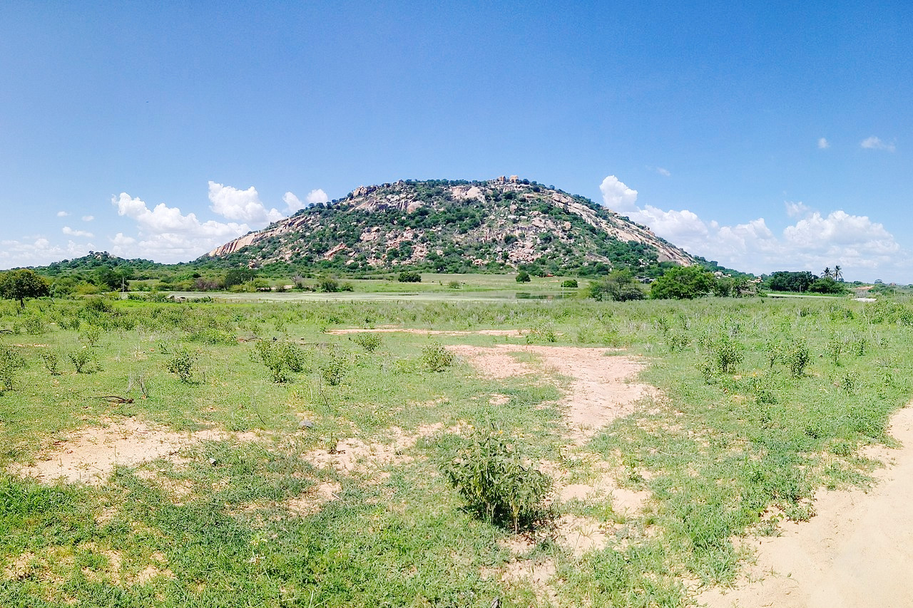
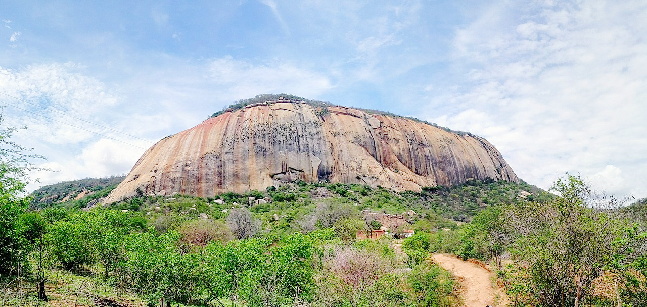 Serra do Sítio Rajada, Rural Area of Catolé do Rocha
Southeast
The Southeast consists of the four states Espírito Santo, Minas Gerais, Rio de Janeiro and Sao Paulo. Its total area corresponds to 11 percent of Brazil. The region has the largest population in the country. It is the heart of Brazil because it is the most important agricultural and industrial region, known worldwide for its coffee plantations. In addition to a dense network of cities, it includes the megacities of Sao Paulo and Rio de Janeiro. The region combines Brazil's highest standard of living with pockets of urban poverty.
The surface features of this region are similar to those of the Northeast, but here the coastal plain is much narrower. From the plain the Great Escarpment rises steeply to a height of 1,000 meters (3,000 feet) and then gives way inland to rolling mountains and plateaus. River valleys divide this interior plateau area.
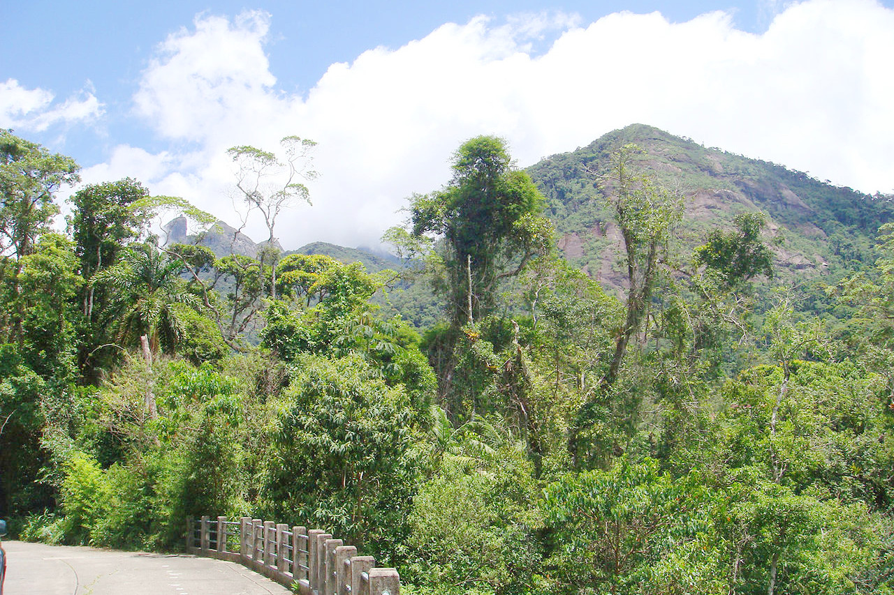
The warm, humid coastal land with its tropical vegetation differs from that of the higher escarpments and plateaux where temperatures are lower due to the effects of altitude. It rains less in the highlands than on the lower level and the vegetation consists of grasses mixed with forests. In fact, despite their tropical latitude, these highlands offer a pleasant climate.
Originally, the major biome in the Southeast was the Atlantic Forest, but less than 10% of the original forest cover remains as a result of clearing for agriculture, ranching, and charcoal production.
South
The three states in the temperate south—Parana, Rio Grande do Sul and Santa Catarina—cover 7% of Brazil. The region is almost as densely populated as the Southeast, but population is more concentrated along the coast. The largest cities are Curitiba and Porto Alegre.
This region is in the temperate zone. Winters are definitely cooler than in the northern areas, and frosts are recorded in the higher regions. In summer, however, temperatures rise as high as in central-eastern Brazil, and rain falls at this time of year. The highlands are forested with the Parana pine, which is one of the dominant trees in the region. This is essentially an agricultural region, with many of the farmers originally coming from Germany and Italy.
In addition to the Atlantic rainforest and pine forests, much of which were cleared in the twentieth century, there are pampas grasslands to the south similar to those of Argentina and Uruguay in the far south.
Center-West
The Center-West consists of the states of Goias, Mato Grosso and Mato Grosso do Sul and the Federal District, location of the state capital Brasilia.
The Center-West covers 19% of Brazil. The plateau in the country's central west is drained by tributaries that feed the Amazon, Parana, and Paraguay rivers. The rainy season is short and the long dry season stops many trees from growing. Its main biome is the Cerrado, the tropical savanna where natural grasslands are partially covered with crooked shrubs and small trees. The Cerrado was historically used for low-density livestock, but is now also used for soybean production.
Along the rivers and streams are gallery forests and some larger areas of forest, most of which have been cleared for agriculture and livestock. In the north, the Cerrado turns into tropical forest. It also includes the Pantanal wetlands to the west, which are known for their wildlife, particularly waterfowl and caimans. The average population density is low, with concentrations in and around the cities of Brasilia, Goiania, Campo Grande and Cuiaba.
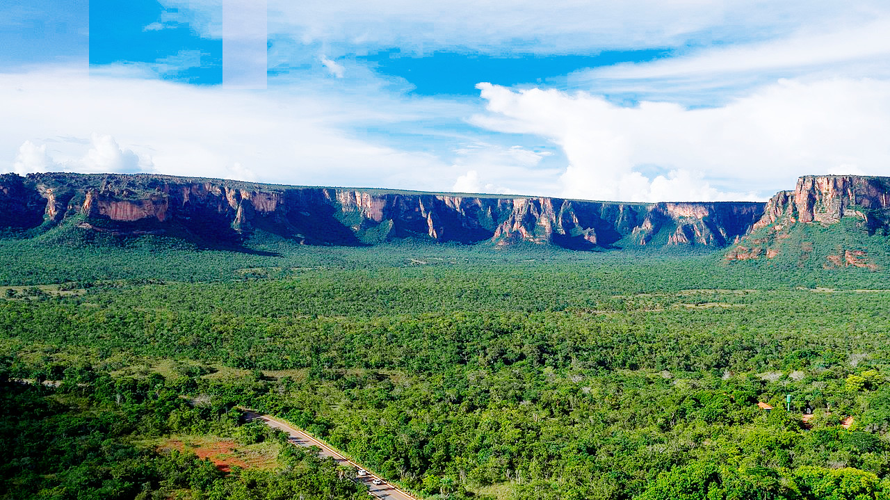 Chapada dos Guimarães National Park
What is the nature of Brazil like?
There is a grandeur and solemnity in the tropical forest. The huge buttress trees, the fissured trunks, the extraordinary air roots, the twisted and wrinkled climbers, and the elegant palms, are what strike the attention and fill the mind with admiration and surprise and awe. The trees of the Amazon forest, many of them 30 to 60 meters (100 to 200 feet) tall, compete with one another for light and air; consequently, the foliage is found near the treetops, forming a green canopy that keeps out the strong sunlight. From the air, the forest looks like a carpet of green interrupted only by paths cut by rivers. Within the forest itself, the scene is one of gloom, since the equatorial forest has a huge variety of trees which are always in leaf. But there is an infinite variety of plants, and the undergrowth is an almost impenetrable mass. Creepers swarm up the trees, lashing them together with rope-like festoons, ever striving to break through to the sunlight and air above the dense roof of branches and leaves, where they may flower in all their exquisite beauty.
In this world of riotous plant life the rivers form the only breaks in the continuity of tangled vegetation and supply the only easy natural routes. The rivers abound in fish, alligators, and turtles; the swamps and luxuriant undergrowth teem with frogs, snakes, ants, and other crawling insects. Butterflies of amazing size and beauty float in the stifling air, and there is an endless variety of creatures suited to life above ground among the trees. There are chattering monkeys; sloths which sleep in the daytime hanging upside-down; jaguars, which spend most of their life in the trees, preying upon monkeys; birds, including parrots of brilliant plumage and raucous voice and beautiful birds of paradise.
On the east coast of Brazil, within the tropics, where the rainfall is abundant, there is a similar profuseness of vegetation, succeeded southward by plants of a more temperate climate. Inland, as the rainfall diminishes upon the plateau, the vegetation becomes less abundant, and changes to open forests of smaller trees, with palms, ferns, and cacti.
In the semi-arid Northeast, caatinga, a dry, thick, thorny vegetation, predominates. Most of central Brazil is covered with a woodland savanna, known as the cerrado (sparse scrub trees and drought-resistant grasses). In the South, needle-leaved pinewoods (Paraná pine or Araucaria) cover the highlands; grassland similar to the Argentine pampa covers the sea-level plains. The Mato Grosso swamplands is a Florida-sized plain in the western portion of the Center-West. It is covered with tall grasses, bushes, and widely dispersed trees similar to those of the cerrado and is partly submerged during the rainy season.
What is the climate of Brazil like?
See our main article: The Climate of Brazil
The climate of the Amazon is hot and humid. Here, the overhead sun blazes down giving its maximum heat. The days and nights are of about equal duration, the climate is fairly uniform throughout the year, and there are no marked seasons. In fact, the region can be described as a land of continuous hot summer. Temperatures average 25°C (80°F), there being little difference between those of day and night. Every day is marked by great heat and high humidity. During the afternoon, huge clouds build up which results in terrific downpours accompanied by thunder and lightning.
The climate in the Brazilian Highlands differs greatly from that of its Amazon lowlands. In the Highlands temperatures and rainfall vary according to latitude and altitude. In the north, temperatures of over 35°C (100°F) are often recorded, whereas in the south, high thermometer readings are rare. Rainfall is generally good, except for the interior northeastern region, where summer droughts are frequent. The average rainfall varies from 1250 mm (50 inches) per year along the coast to nearly 2000 mm (80 inches) on the highlands.
| Climate data for Brasília (1991–2020) | |||||||||||||
|---|---|---|---|---|---|---|---|---|---|---|---|---|---|
| Month | Jan | Feb | Mar | Apr | May | Jun | Jul | Aug | Sep | Oct | Nov | Dec | Year |
| Average high °C (°F) | 26.9 (80.4) | 27.2 (81.0) | 27.0 (80.6) | 26.8 (80.2) | 26.0 (78.8) | 25.3 (77.5) | 25.6 (78.1) | 27.4 (81.3) | 29.1 (84.4) | 29.0 (84.2) | 27.0 (80.6) | 26.8 (80.2) | 27.0 (80.6) |
| Daily mean °C (°F) | 21.9 (71.4) | 21.9 (71.4) | 21.8 (71.2) | 21.6 (70.9) | 20.3 (68.5) | 19.3 (66.7) | 19.3 (66.7) | 21.0 (69.8) | 22.8 (73.0) | 23.1 (73.6) | 21.7 (71.1) | 21.7 (71.1) | 21.4 (70.5) |
| Average low °C (°F) | 18.3 (64.9) | 18.2 (64.8) | 18.2 (64.8) | 17.7 (63.9) | 15.6 (60.1) | 14.2 (57.6) | 13.9 (57.0) | 15.3 (59.5) | 17.6 (63.7) | 18.5 (65.3) | 18.1 (64.6) | 18.3 (64.9) | 17.0 (62.6) |
| Average precipitation mm (inches) | 206.0 (8.11) | 179.5 (7.07) | 226.0 (8.90) | 145.2 (5.72) | 26.9 (1.06) | 3.3 (0.13) | 1.5 (0.06) | 16.3 (0.64) | 38.1 (1.50) | 141.8 (5.58) | 253.1 (9.96) | 241.1 (9.49) | 1,478.8 (58.22) |
| Source: Instituto Nacional de Meteorologia | |||||||||||||
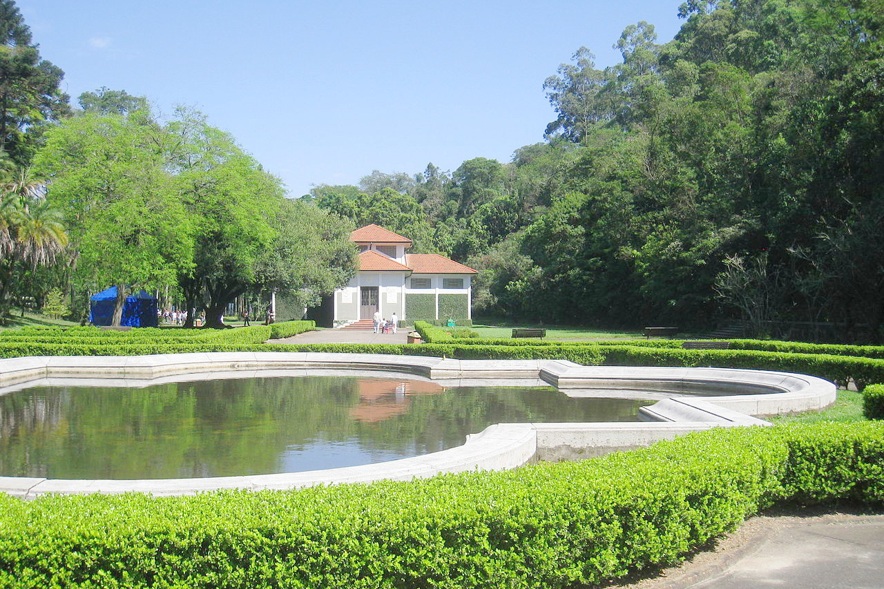 Jardim Botânico de São Paulo
The official websites
Brazil

Brazil. Visit and love us
| Location: | On the east-central coast of South America |
| Coordinates: | 15° 00′ S, 55° 00′ W |
| Size: | • 4,400 km N-S; 4,300 km E-W • 2,750 miles N-S; 2,700 miles E-W |
| Terrain: | The Amazon Basin occupies the north and west. Highlands occupy the east of the country |
| Climate: | A hot, tropical climate in the Amazon Basin. Coastal regions vary from tropical in the north to temperate in the south |
| Highest point: | Pico da Neblina 2,995 m / 9,827 ft |
| Forest: | 59% (2015 est.) (source) |
| Population: | 217,240,060 (2022 est.) |
| Population density: | Low (25/km²) |
| Capital: | Brasília |
| Languages: | Portuguese |
| Human Development Index: | High (0.765) |
| Currency: | Real |

.jpeg)
