.jpg)
The Geography of
Bangladesh
Why visit Bangladesh?
Bangladesh is a country with some surprising natural beauty, with many rivers and a variety of vegetation. While it is not an obvious place to visit, its attractions should not go unnoticed.
Contents
Map
 Relief map of Bangladesh
What is the landscape of Bangladesh like?
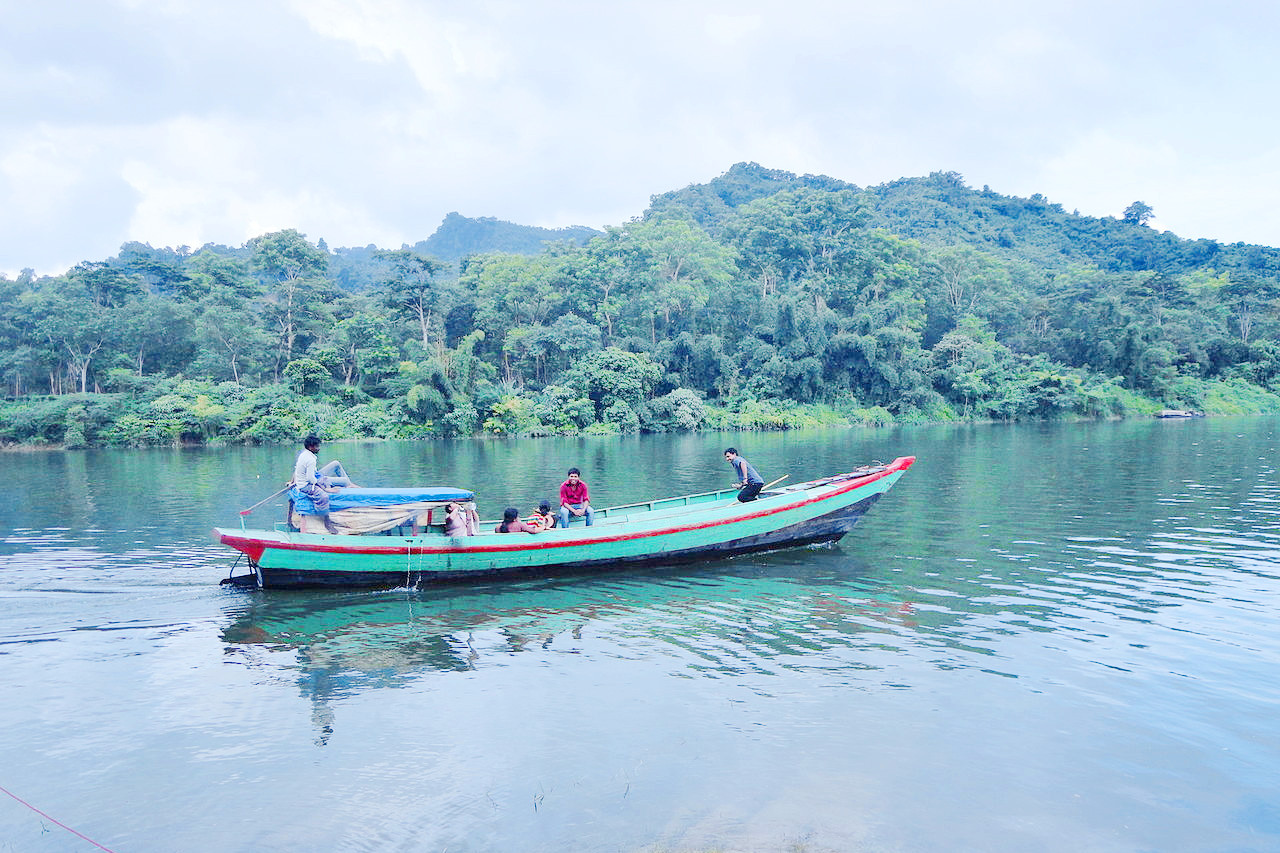
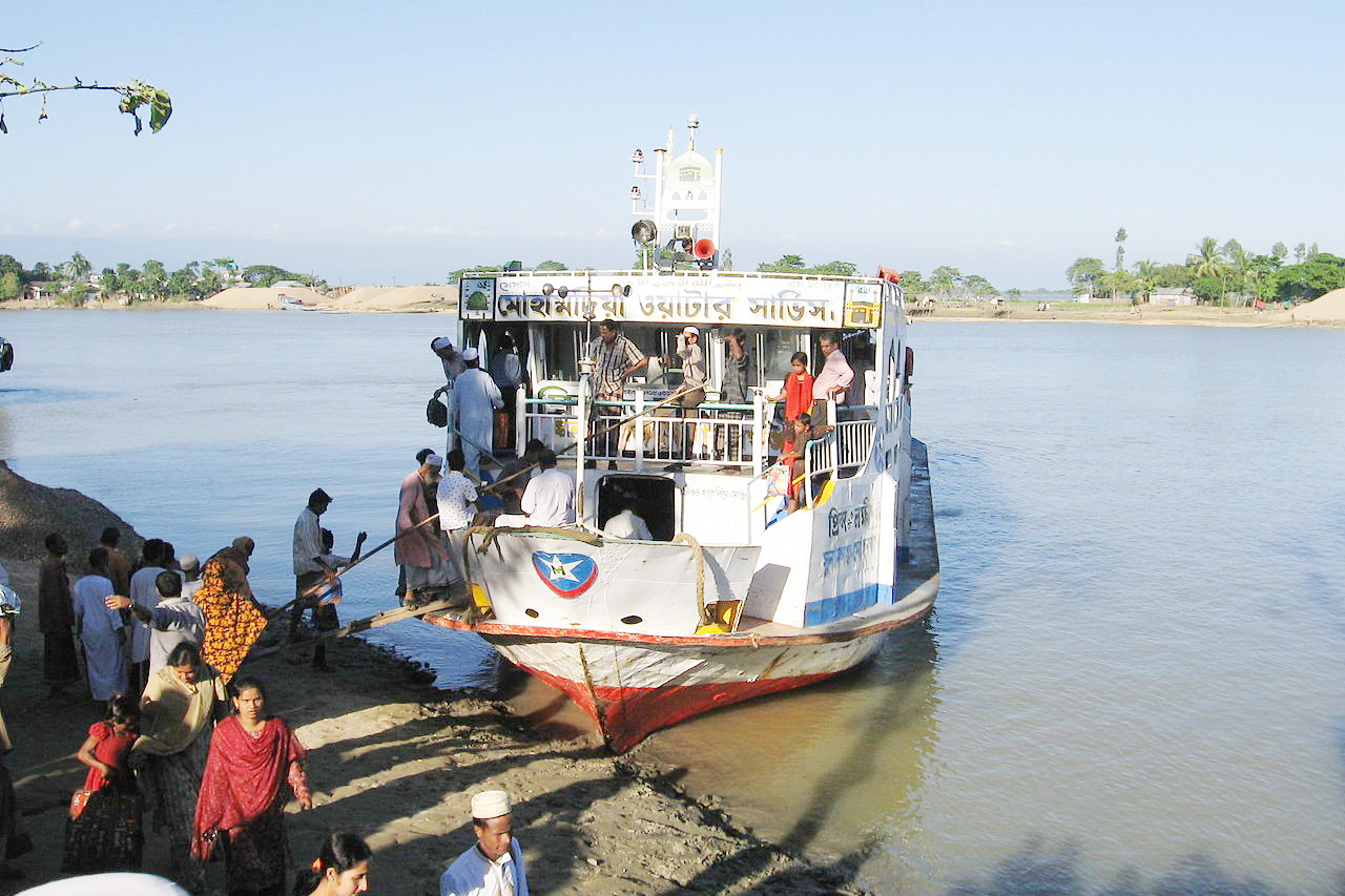
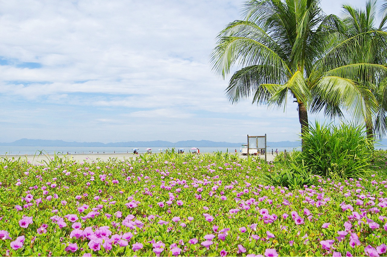
Bangladesh is a tropical country, situated mainly on the deltas of large rivers flowing from the Himalayas. The coastline lies at the top of the Bay of Bengal, an inlet of the Indian Ocean.
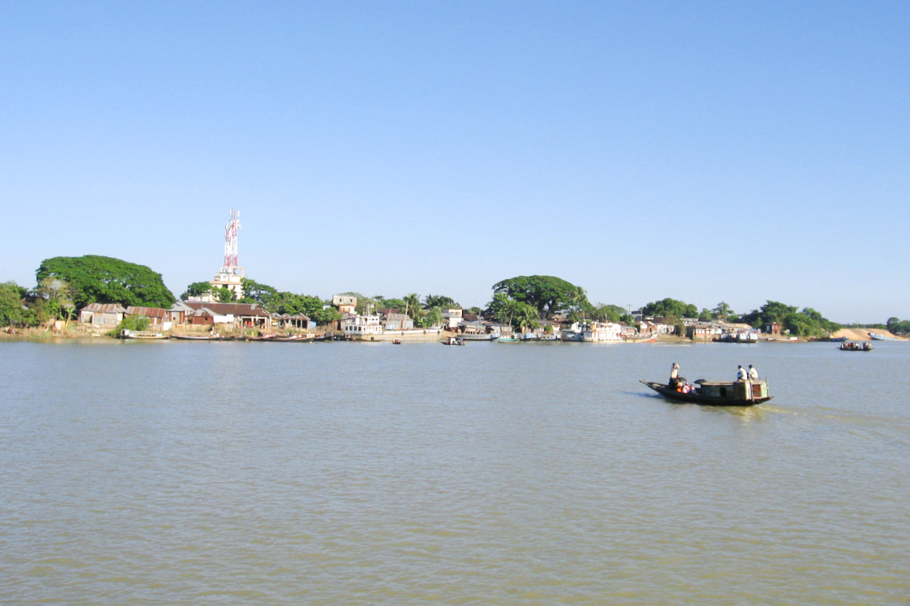
The longest river in Bangladesh is the Brahmaputra River, also commonly known as the Jamuna River once it enters Bangladesh. It starts in the Himalaya Mountains and flows through Tibet in China and India before reaching the northern border of Bangladesh. In Bangladesh it unites with part of the Ganges to form the Padma, which, after its juncture with a third large river, the Meghna, flows into the Bay of Bengal. The capital city, Dhaka, is near the point where those river systems meet.
Many offshoots of the Ganges-Padma also flow south to the Bay of Bengal. No part of the delta area is more than 150 meters (500 feet) above sea level, and most of it is but a meter or two (a few feet) above sea level. The rivers deposit rich soil through the country, but they also cause hardship due to seasonal flooding and erosion.
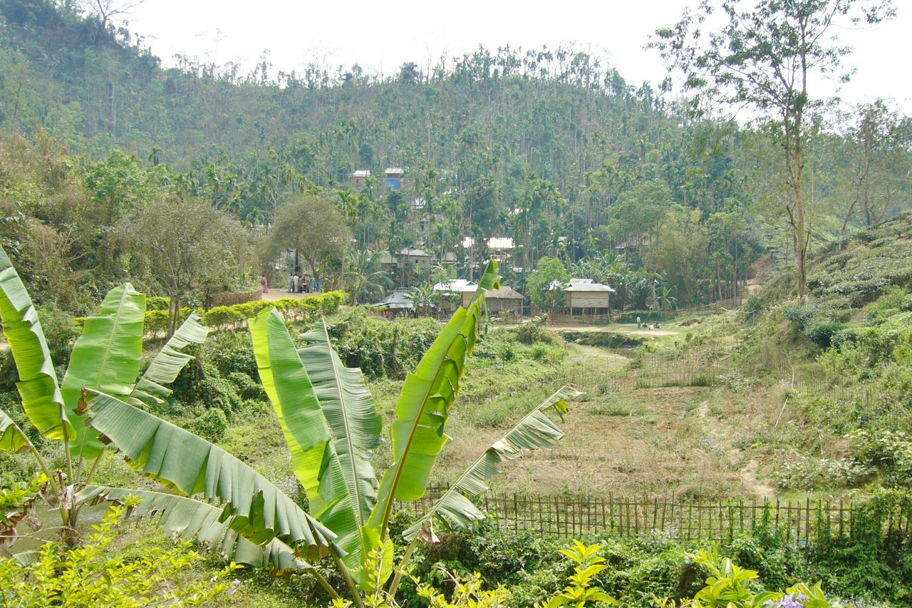
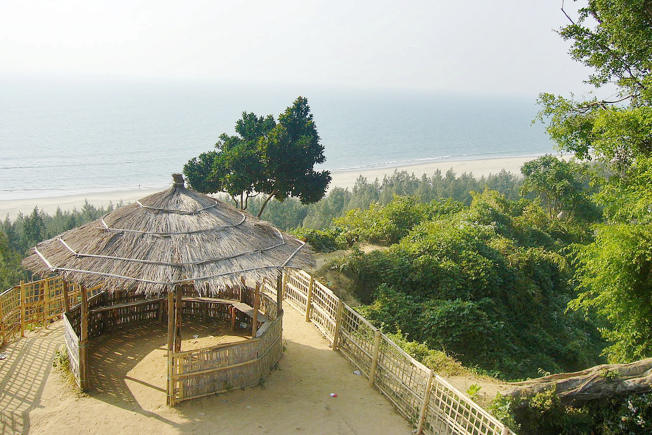
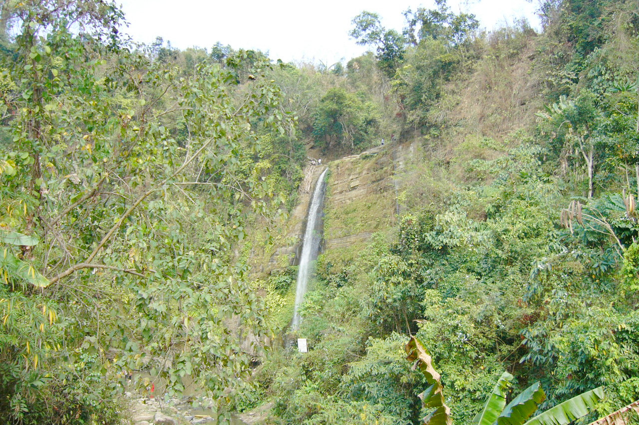
The northern parts of the country are somewhat higher, but the only really hilly regions are in the east, notably in the Chittagong Hill Tracts to the southeast. These are a series of ridges along the India and Myanmar frontier. In the extreme southeast, the hills exceed an altitude of 1,000 meters (3,300 feet).
What is the nature of Bangladesh like?
.jpg&oldid=514414093)
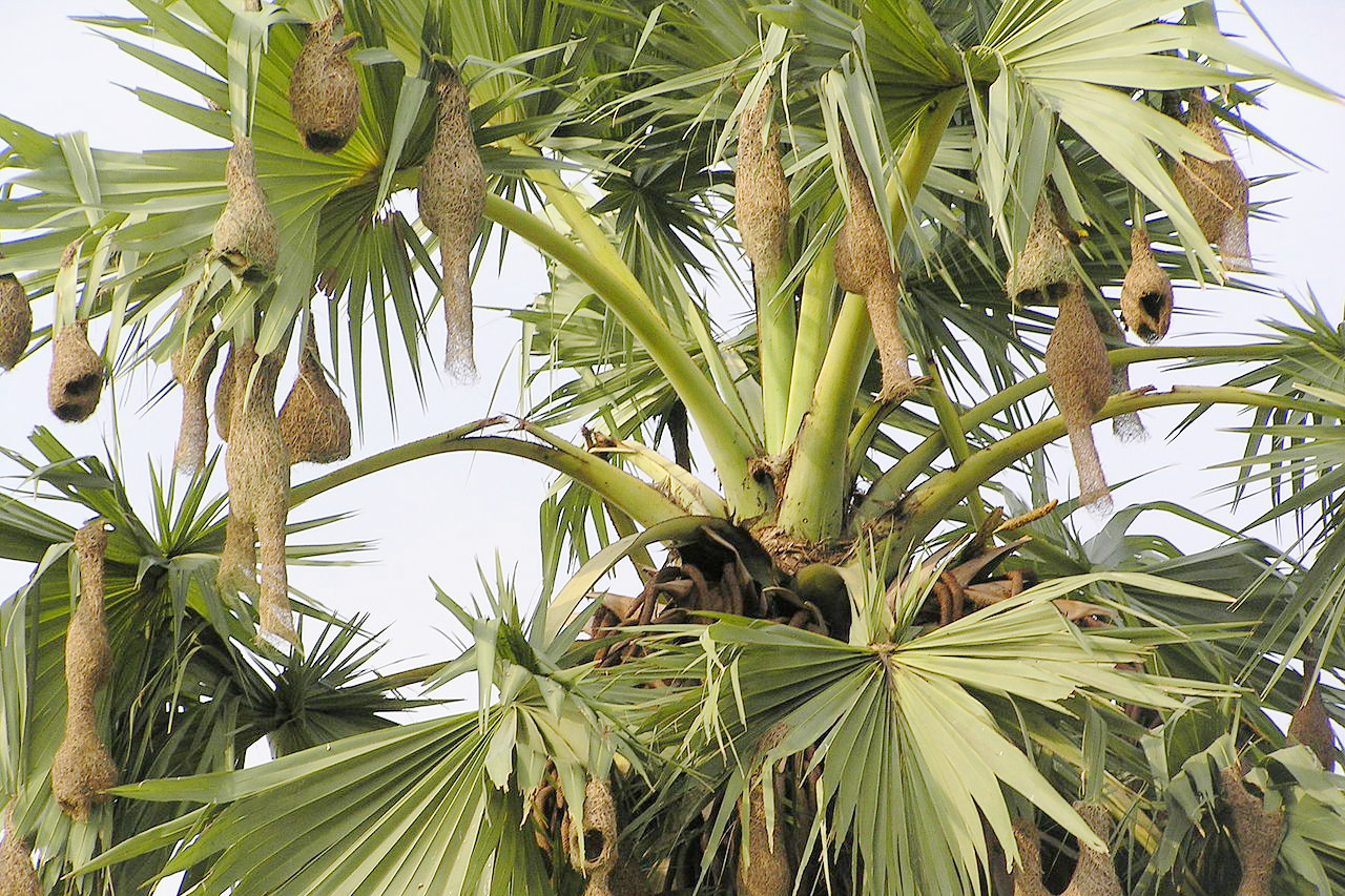
Bangladesh has the plant and animal life typical of a tropical and riverine swamp. The landscape, which for most of the year is lush green, is dotted with palms and flowering trees. The large forest area of the Sunderbans in the southwest is the home of the endangered Bengal tiger; there are also cheetahs, leopards, crocodiles, elephants, spotted deer, monkeys, boars, bears, pheasants, and many varieties of birds and waterfowl.
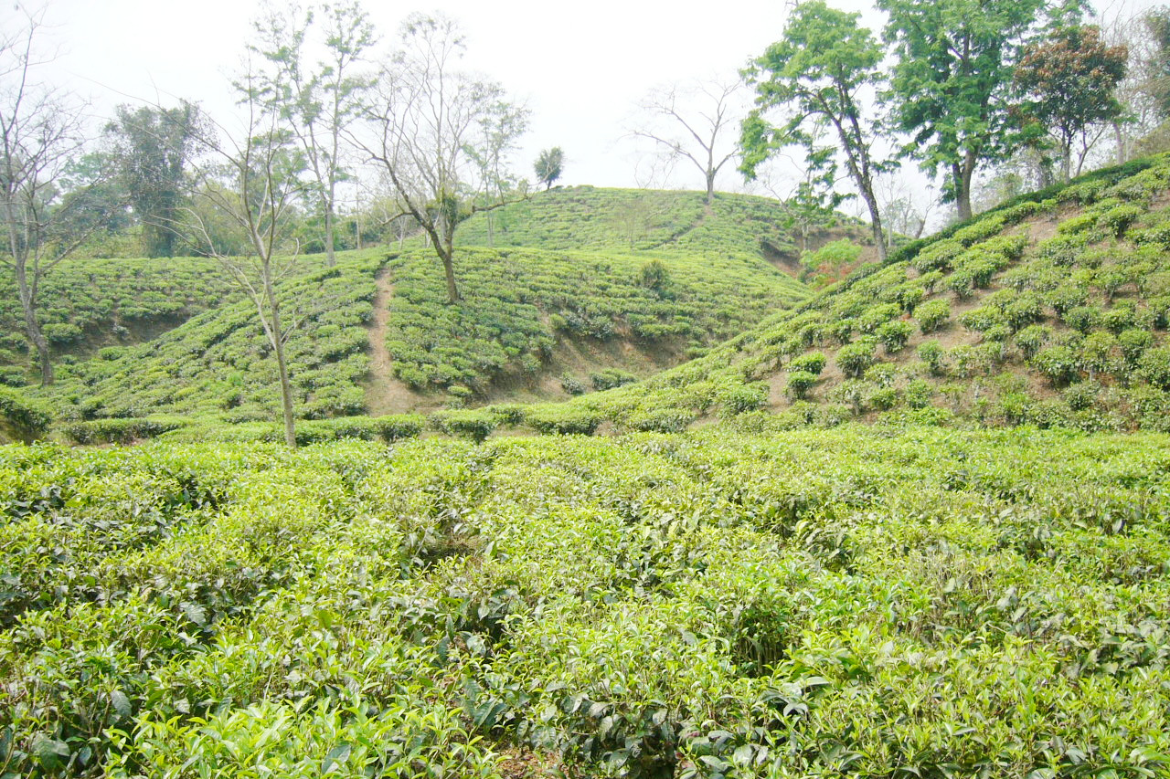
In the north and the southeast the land is more hilly and dry, and tea is grown. The Chittagong Hill Tracts have extensive tropical forests.
What is the climate of Bangladesh like?
See also our article: The Climate of Bangladesh
The climate of Bangladesh is generally tropical with three seasons. The winter, which lasts from October through early March, is cool and dry. Temperatures rise rapidly in March, and during the summer season—March through May—average about 29°C (84°F). Rainfall also increases during this period.
However, nearly 80% of the annual rainfall falls from May to September, the monsoon season, when moisture-laden winds blow from the south and southeast. Temperatures may drop a little, but humidity remains high. Parts of Bangladesh are also subject to severe seasonal flooding and cyclones.
| Climate data for Dhaka (1981–2010) | |||||||||||||
|---|---|---|---|---|---|---|---|---|---|---|---|---|---|
| Month | Jan | Feb | Mar | Apr | May | Jun | Jul | Aug | Sep | Oct | Nov | Dec | Year |
| Average high °C (°F) | 25.1 (77.2) | 28.3 (82.9) | 32.5 (90.5) | 33.8 (92.8) | 33.4 (92.1) | 32.5 (90.5) | 31.8 (89.2) | 32.1 (89.8) | 32.0 (89.6) | 31.8 (89.2) | 29.7 (85.5) | 26.5 (79.7) | 30.8 (87.4) |
| Daily mean °C (°F) | 18.6 (65.5) | 22.0 (71.6) | 26.3 (79.3) | 28.4 (83.1) | 28.8 (83.8) | 29.0 (84.2) | 28.7 (83.7) | 28.9 (84.0) | 28.5 (83.3) | 27.4 (81.3) | 24.0 (75.2) | 20.0 (68.0) | 25.9 (78.6) |
| Average low °C (°F) | 13.1 (55.6) | 16.2 (61.2) | 20.8 (69.4) | 23.8 (74.8) | 24.8 (76.6) | 26.2 (79.2) | 26.3 (79.3) | 26.4 (79.5) | 25.9 (78.6) | 23.9 (75.0) | 19.4 (66.9) | 14.8 (58.6) | 21.8 (71.2) |
| Average precipitation mm (inches) | 7.5 (0.30) | 23.7 (0.93) | 61.7 (2.43) | 140.6 (5.54) | 278.4 (10.96) | 346.5 (13.64) | 375.5 (14.78) | 292.9 (11.53) | 340.0 (13.39) | 174.5 (6.87) | 31.1 (1.22) | 12.1 (0.48) | 2,084.5 (82.07) |
| Source: Bangladesh Meteorological Department | |||||||||||||
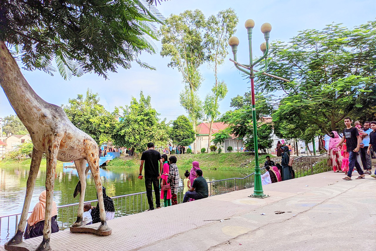 Gaibandha Pouro park
The official websites
Bangladesh
Visit before the tourists come
| Location: | Southern Asia, bordering the Bay of Bengal, between Burma and India |
| Coordinates: | 23° 45′ N, 90° 30′ E |
| Size: | • 675 km N-S; 480 km E-W • 420 miles N-S; 300 miles E-W |
| Terrain: | Mostly flat alluvial plain; hilly in southeast |
| Climate: | Tropical; mild winter (October to March); hot, humid summer (March to June); humid, warm monsoon rains (June to October) |
| Highest point: | Saka Haphong (?) 1,185 m / 3,888 ft |
| Forest: | 11% (2018 est.) |
| Population: | 165,650,475 (2022 est.) |
| Population density: | Very high (1,106/km²) |
| Capital: | Dhaka |
| Languages: | Bangla 98.8% (official, also known as Bengali), other 1.2% (2011 est.) |
| Human Development Index: | Medium (0.661) |