.JPG)
The Geography of
Laos
Why visit Laos?
Laos is a remarkably relaxed country to travel, with places so beautiful, pristine, and remote that you really do feel that you are in the middle of nowhere. The pace of things is noticeably slower than almost anywhere else, even in relation to its Southeast Asian neighbors. Laos is the only landlocked country in the region and thus has always been more insulated and remote than its neighbors have been. The predominantly mountainous and forested terrain adds to that isolation: Rugged mountain ranges divide Laos into narrow river valleys, particularly in the north.
Contents
Map
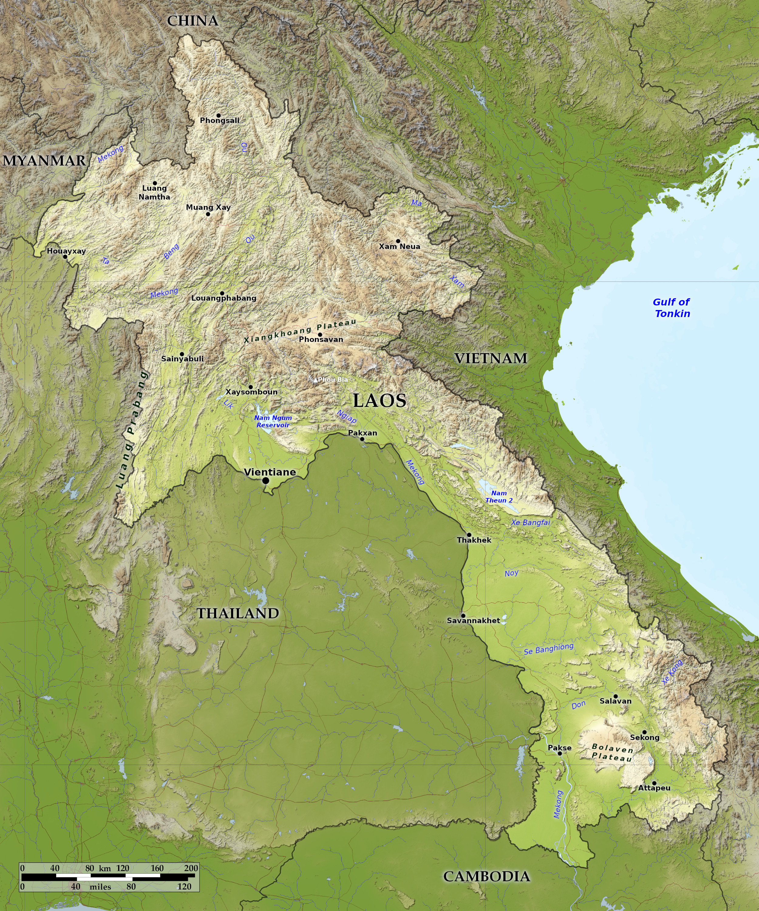 Relief map of Laos
What is the landscape of Laos like?
.JPG&oldid=459002456)
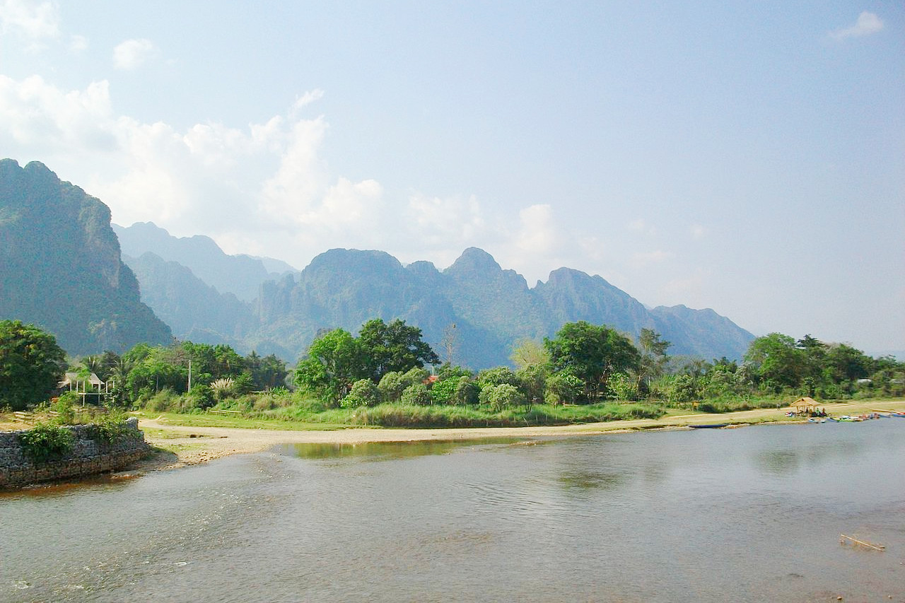
Laos consists of a northern region centered on the Mekong River valley, with a narrower panhandle extending off to the southeast. Around three-fifths of the country is contained in the northern section, and over two-fifths is in the southern panhandle. Away from the Mekong, the high mountains of the Annamese Mountains extend across the country.
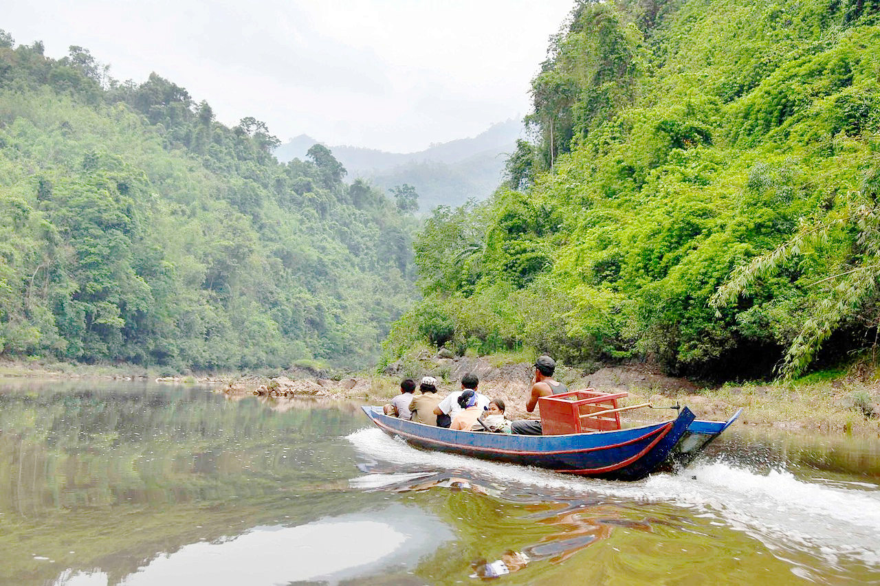
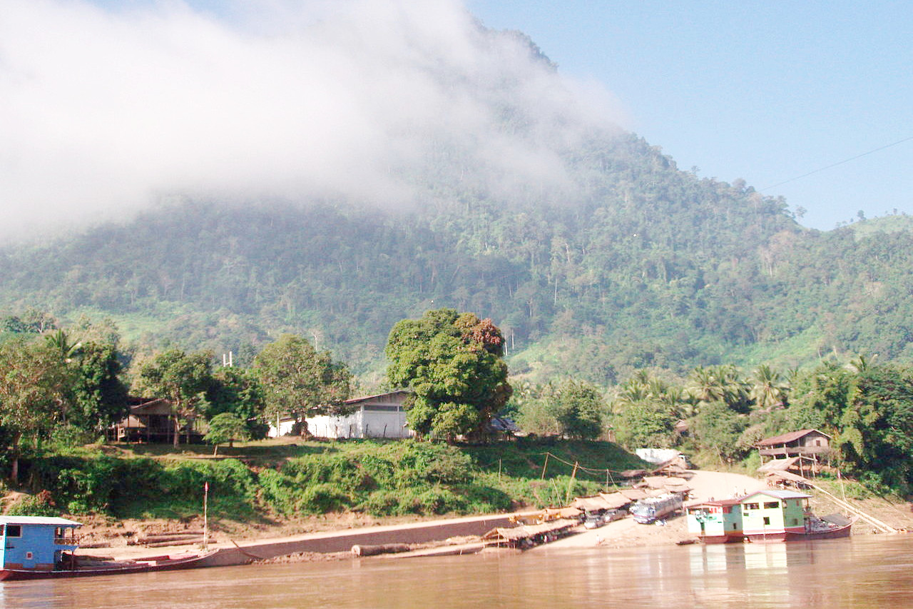
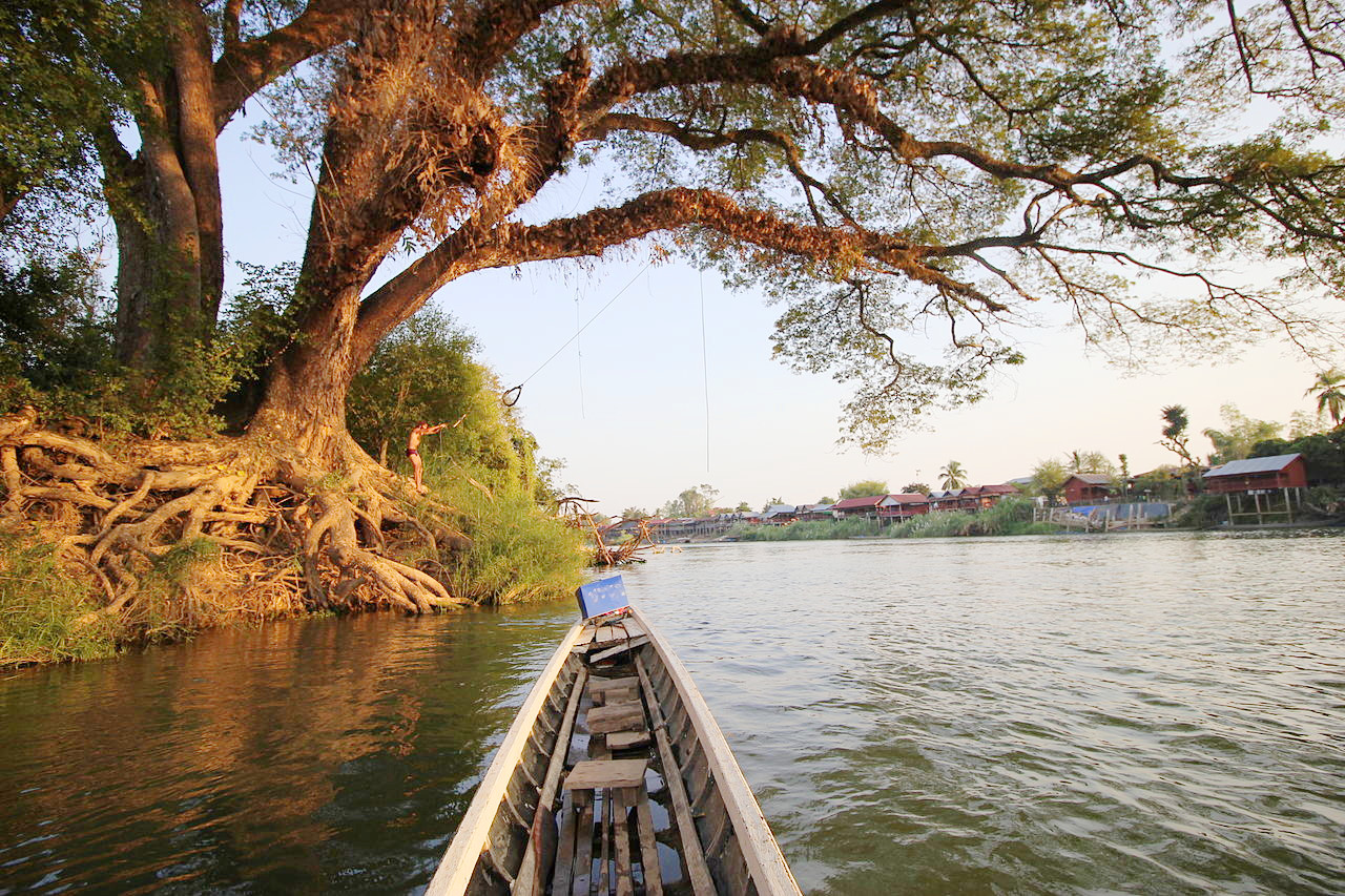
Most of the western border of Laos is demarcated by the Mekong River, which is an important artery for transportation. Khone Falls at the southern end of the country prevents access to the sea, but cargo boats travel along the entire length of the Mekong in Laos during most of the year.
Laos is rugged and mountainous, especially in the north and in the Annamese Range, along the border with Vietnam. These mountains are have steep terrain and narrow river valleys. The mountains reach heights of more than 2,700 meters (8,860 feet), with Phou Bia, the highest point in Laos, rising to 2,819 meters (9,249 feet) in the north-central part of the country.
The chief feature of the Laotian panhandle are the mountains which runs along the entire eastern side of this region. The chain parallels the flow of the Mekong River. The mountains in its upper portion have deep valleys and rugged peaks over 1,524 meters (5,000 feet), including Mount Rao (2,234 meters / 7,331 feet). South of the Cammon Plateau, the chain enters a region characterized by steep ridges and peaks and sinkholes, followed by the Bolovens Plateau. From this point to the southern end of Laos, the chain again becomes very rugged.
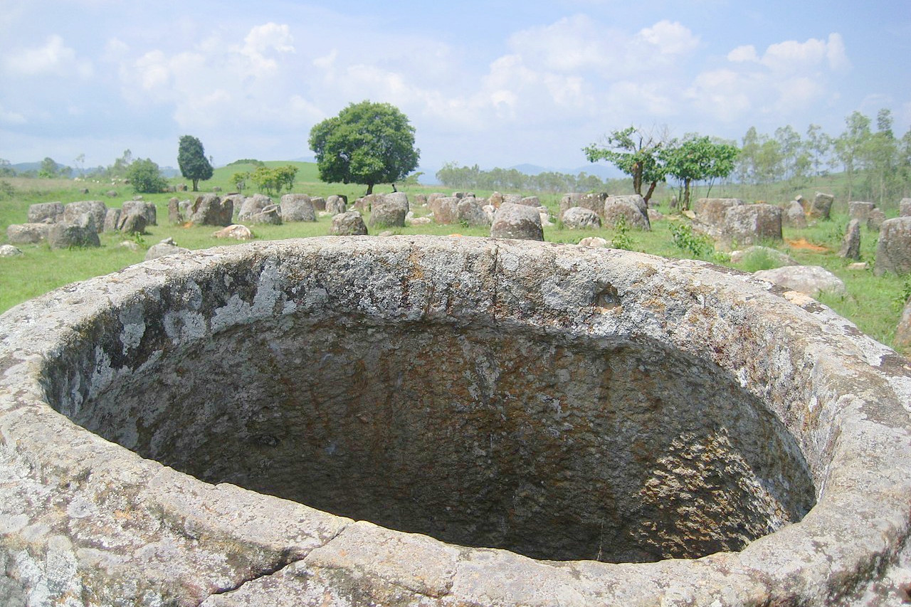
At the foot of the mountains in the northern part of the country is the Xiangkhoang Plateau, lying mostly between about 1,000 and 1,250 meters (3,330 and 4,000 feet) above sea level. This is the single largest geographical feature in the country. This series of rolling grassland hills is best known for the mysterious stone “jars” that dot the landscape, which has earned it the nickname the “Plain of Jars”.
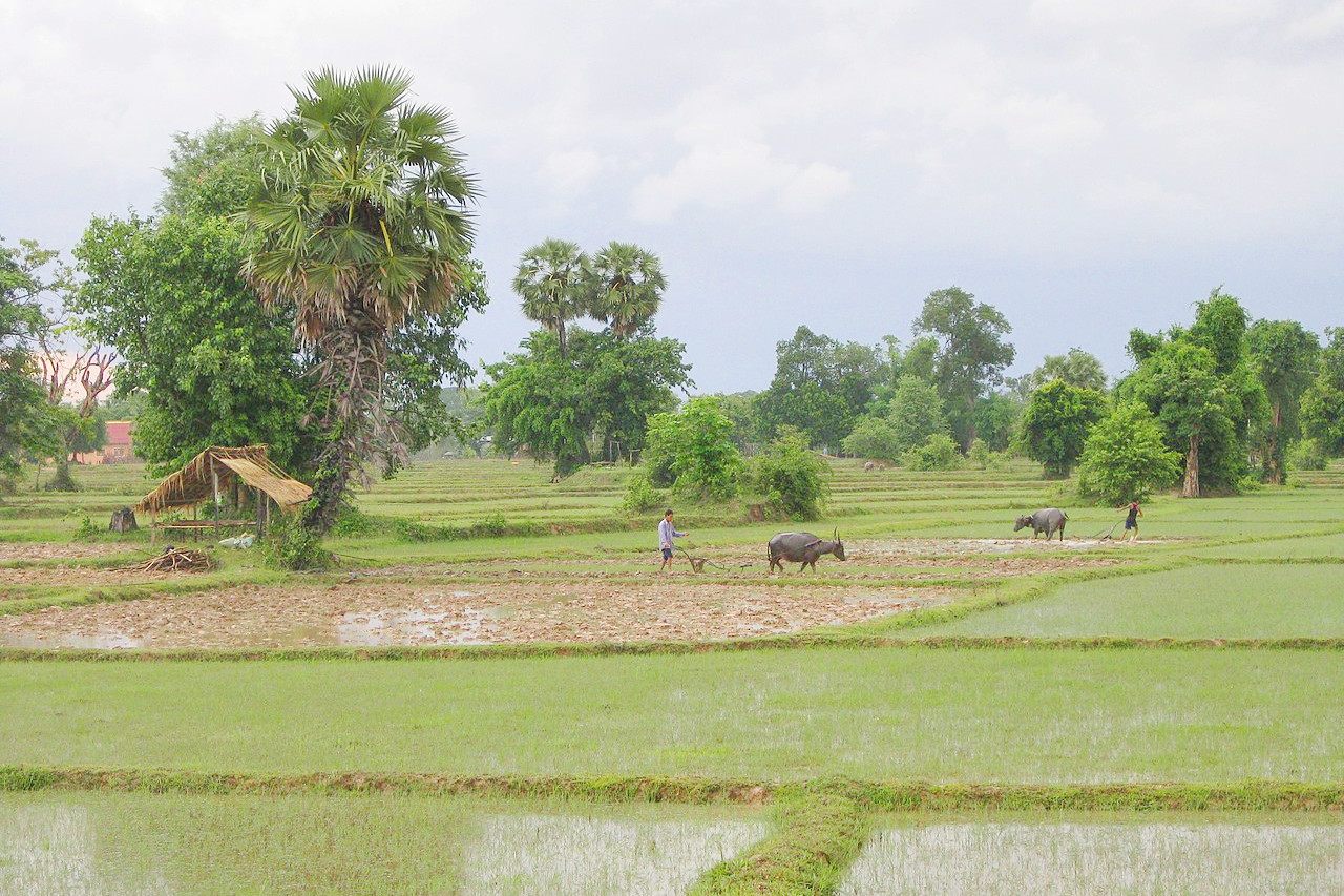
There are also important plateaus in central and southern Laos, where much of the country's mountain rice, coffee, and tea cultivations are based. Almost all other rice and many other agricultural products are grown in the broad alluvial plains found in the south and west along the Mekong River and its tributaries. Of these, the Vientiane plain is the most extensive.
What is the nature of Laos like?
Among the most important features of Laos are the forests. More than two-thirds of Laos is covered by thick forest, including extensive tracts of virgin forest. The forests of southernmost Laos are an extension of Cambodia, while the highland forests of the north, consisting of prairies interspersed with thickets, resemble central Vietnam. Bamboo, lianas, rattan, and palms are found throughout Laos.
The forests of Laos are also important for biodiversity, as they are home to one of the most diverse collections of animals left in Asia. There are several hundred wild Asian elephants in the country. Laos is also home to a number of endangered or threatened species, including macaques, monkeys, flying squirrels, wildcat, deer, martens, tigers, gibbons, langurs, lesser pandas, pygmy lorises, and raccoon dogs.
What is the climate of Laos like?
See our main article: The Climate of Laos
Laos has a tropical monsoon climate with three seasons: a cool, dry season in November through February; a hot, dry season in March and April; and a rainy season in May through October. Temperatures average 28°C (82°F), ranging from highs of 40°C (104°F) along the Mekong in March and April to lows of 5°C (41°F) in the mountains in January.
Annual rainfall in Laos averages 1750 mm (69 inches). Most of this rain occurs during the southwest monsoon between May and October. Rainfall can be anywhere from 1250 to 2300 mm (50 to 90 inches) during this period.
| Climate data for Vientiane (1981–2010) | |||||||||||||
|---|---|---|---|---|---|---|---|---|---|---|---|---|---|
| Month | Jan | Feb | Mar | Apr | May | Jun | Jul | Aug | Sep | Oct | Nov | Dec | Year |
| Average high °C (°F) | 28.7 (83.7) | 30.8 (87.4) | 33.1 (91.6) | 34.6 (94.3) | 33.1 (91.6) | 32.2 (90.0) | 31.6 (88.9) | 31.2 (88.2) | 31.3 (88.3) | 31.2 (88.2) | 30.1 (86.2) | 28.3 (82.9) | 31.1 (88.0) |
| Daily mean °C (°F) | 22.4 (72.3) | 24.7 (76.5) | 27.1 (80.8) | 29.0 (84.2) | 28.4 (83.1) | 28.1 (82.6) | 27.7 (81.9) | 27.5 (81.5) | 27.3 (81.1) | 26.8 (80.2) | 24.8 (76.6) | 22.2 (72.0) | 26.3 (79.3) |
| Average low °C (°F) | 17.4 (63.3) | 19.6 (67.3) | 22.1 (71.8) | 24.5 (76.1) | 24.9 (76.8) | 25.2 (77.4) | 25.0 (77.0) | 24.8 (76.6) | 24.3 (75.7) | 23.4 (74.1) | 20.5 (68.9) | 17.3 (63.1) | 22.4 (72.3) |
| Average precipitation mm (inches) | 7.8 (0.31) | 15.3 (0.60) | 39.2 (1.54) | 92.8 (3.65) | 233.5 (9.19) | 264.6 (10.42) | 307.2 (12.09) | 332.9 (13.11) | 270.2 (10.64) | 96.6 (3.80) | 13.5 (0.53) | 3.7 (0.15) | 1,677.2 (66.03) |
| Source: World Meteorological Organization | |||||||||||||
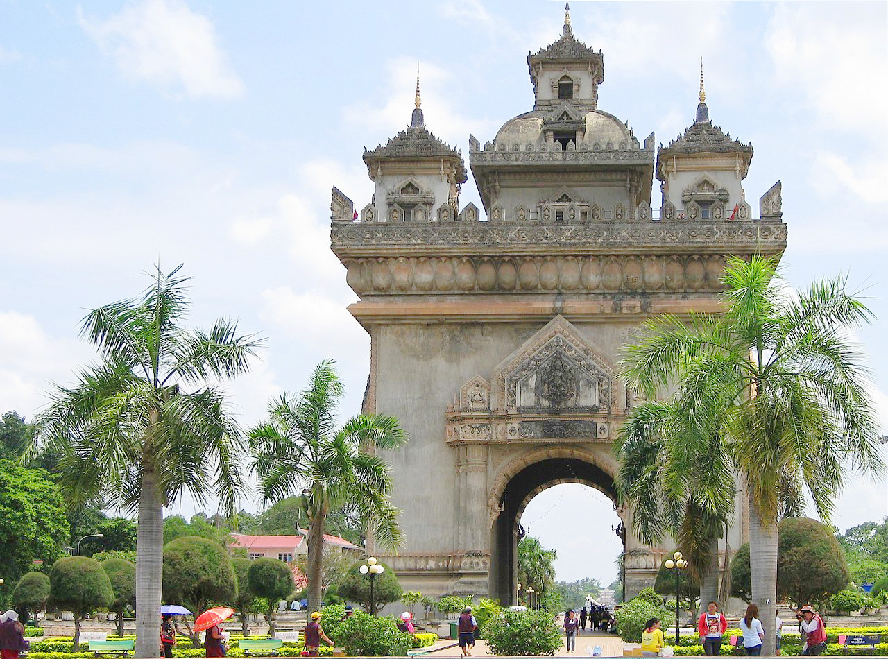 Patuxai monument, Vientiane
The official websites
Laos
Simply Beautiful
| Location: | A landlocked country in Southeast Asia. |
| Coordinates: | 18° 15′ N, 104° 15′ E |
| Size: | • 965 km N-S; 800 km E-W • 600 miles N-S; 500 miles E-W |
| Terrain: | Most of the country is mountainous and thickly forested; the Mekong River forms a large part of the western boundary with Thailand |
| Climate: | A tropical monsoon climate; rainy season (May to November); dry season (December to April) |
| Highest point: | Phou Bia 2,819 m / 9,249 ft |
| Forest: | 78% (2010 est.) (source) |
| Population: | 7,749,595 (2022 est.) |
| Population density: | Low (27/km²) |
| Capital: | Vientiane |
| Languages: | Lao, Hmong, Khmu, French, Katu |
| Human Development Index: | Medium (0.613) |