The Geography of
Bolivia
Why visit Bolivia?
Bolivia is a country whose natural wonders stretch from towering ice-clad mountain peaks to steamy tropical jungles. And it is a land whose culture and history are both clearly visible, and whose people are proud, gracious, giving, and friendly.
Contents
Map
 Relief map of Bolivia
What is the landscape of Bolivia like?
Bolivia is completely landlocked. The land varies from tropical plains in the north and east to two chains of the Andes Mountains in the west which are separated by a plateau 3,650 meters (12,000 feet) high. Most of the country's population is concentrated on this plateau and in the high valleys of the Andes' eastern slopes.
The Andes
The peaks of the Bolivian Andes attain heights of 6,100 to 7,300 meters (20,000–24,000 feet) and are perpetually snow-capped although they are within the tropics; the lowest passes are 3,650 to 4,250 meters (12,000–14,000 feet) above sea level. The mountains of the eastern range are very high, several peaks exceeding 6,400 meters (21,000 feet).
Between the ranges of the mountains lies the great tableland of Bolivia over 3,650 meters (12,000 feet) above sea-level. Upon this lofty tableland live three-fourths of the entire population of the country. The surface of the plateau is strikingly level. At the northern end, extending across the boundary into Peru is Lake Titicaca, the shrunken remnant of a vastly larger lake that once occupied this intermontane valley. Lake Titicaca is 138 miles in length and 69 miles in width, and lies at an altitude of over 3,650 meters (12,000 feet). It is a fresh-water body, draining southward into the shallow Lake Poopo, which has no outlet and whose waters disappear by evaporation and seepage.
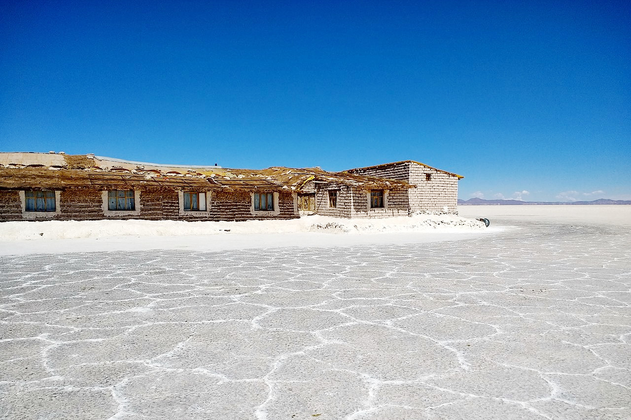
The Altiplano region contains several salt flats, which are dried-up remains of ancient lakes. The Salar de Uyuni is the highest and largest salt lake in the world. During the dry season, Uyuni is bone dry; during the wet season, however, the basin fills to become a vast inland sea, twice as large as Utah’s Great Salt Lake. Salt deposits on the lake bed range in depth from 2 to 20 meters (6 to 65 feet) and during the dry season the surface is a blinding white. Algae in the region's other saline lakes create unusual colors, as in Laguna Colorado (bright red), or Laguna Verde (neon green).
The range of temperature between day and night on the Bolivian plateau is very great. The winter months, especially May, June, and July, are very dry, and the rain that falls in summer is brought by dense thunderclouds that drift over from the wet Amazonian region lying east of the Cordillera Real. The rivers come down in flood during the rainy season, and Lake Titicaca rises about five feet above its winter level. The southern part of the plateau is mainly desert, and the rainfall is rather scanty everywhere. Consequently most of the plateau only supports coarse tufted grasses and scrub plants.
Yungas and Valleys
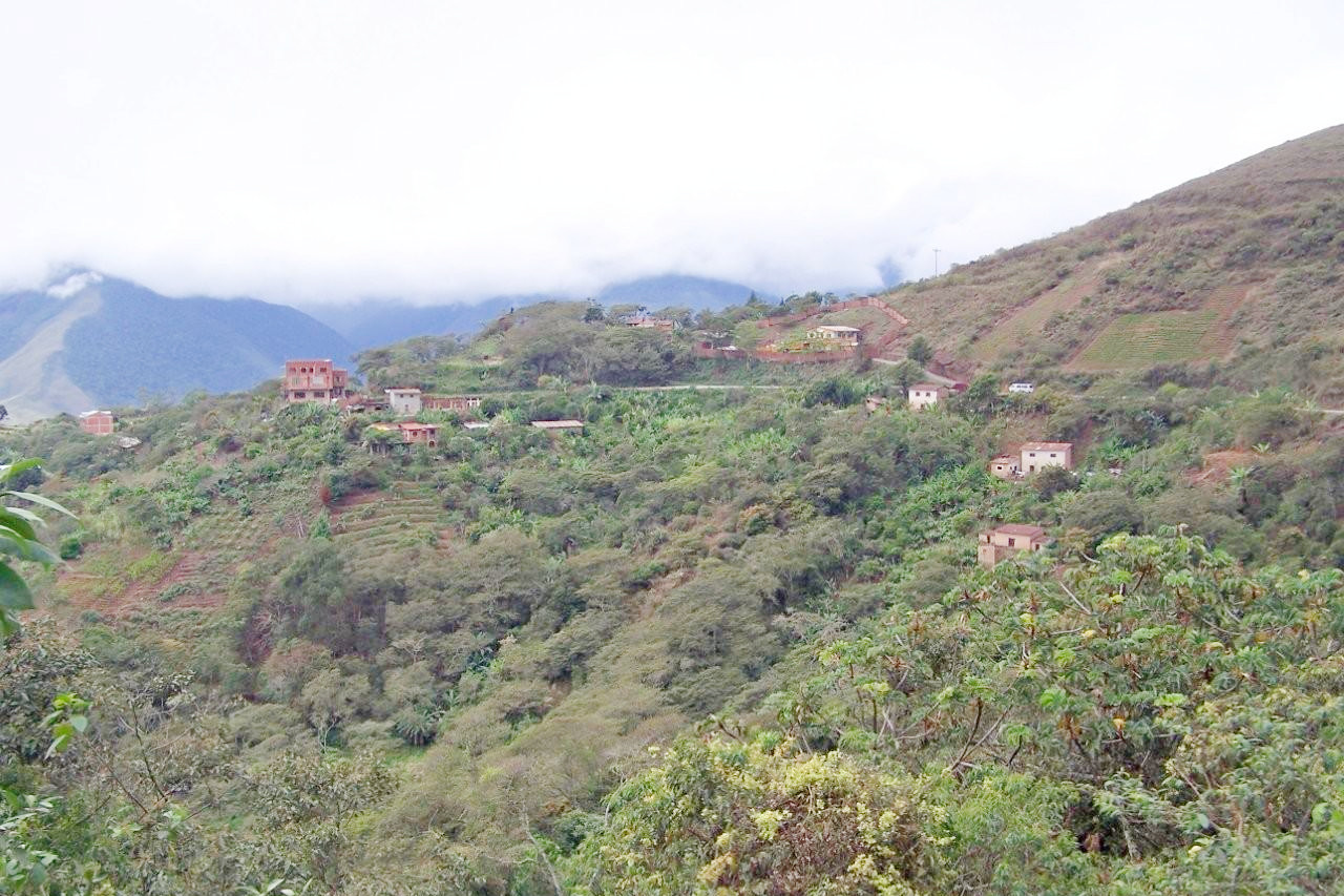
East of the mountains, the land drops away toward the Amazon Basin into the deeply cut, lush green valleys of the Yungas. Here, warm, moist, westward-moving air from over the Amazon Basin backs up as it reaches the towering Andean barrier. As the air moves upslope, the moisture condenses into clouds that shroud the upper reaches of these valleys, creating cloud forests. Abundant rainfall provides ample moistureto support the growth of the dense forests, fruit trees, coffee, and coca that grow in the rich soils of the Yungas.
The Interior Plains
East of the Andes lie the great tropical plains known as the 'Oriente', which make up 60 per cent of the total area of the country. In part, these are densely forested, but, toward the southeast, the forests give place to the scrub and grasslands of the Bolivian Chaco. Through these eastern plains flow large rivers that reach the Amazon and the Paraguay rivers. A large part of the contact of eastern Bolivia with the outer world is by way of these rivers which flow to the distant Atlantic.
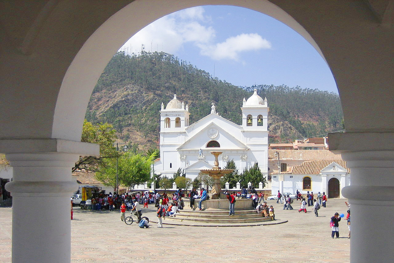
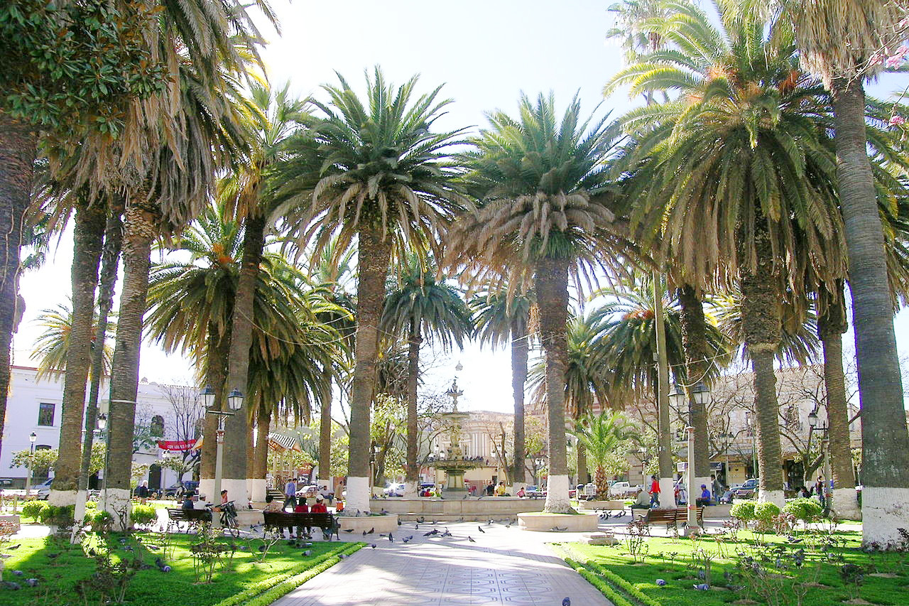 Plaza in Tarija
What is the nature of Bolivia like?
The environment of Bolivia is richest below 2,000 meters (6,500 feet), where the vegetation is essentially tropical paradise of steamy jungles and flat savanna, and where the coffee, cacao, pineapples, bananas, cotton, sugarcane, rice, cinnamon, and vanilla, besides numerous medicinal plants, such as cinchona, sarsaparilla, etc., are cultivated. The forests, which are especially abundant in this region, are composed of ebony, mahogany, rosewood, cedar, cork, rubber, and many species of palm. Woody vines, called lianas, are very common and climb high into the tops of the trees.
Parts of tropical Bolivia are said to contain more species of birds, animals, plants, and insects per square mile than anywhere else on earth. Caiman, which are large crocodile-like reptiles, and turtles are abundant. Squirrel monkeys and brown capuchin monkeys travel in large families, swinging from tree to tree. Elusive sloths cling to the high limbs. Peccaries, or black wild pigs, are rarely seen, but scratched ground indicating their presence can be commonly observed. A vast number of armadillos, deer, jaguar, and ostrich-like rheas also roam the lowland areas.
The temperate region includes all the territory lying between 2,000 and 3,650 meters (6,500–12,000 feet), and embraces the southeastern and part of the western departments. Here are found lemons, grapes, figs, peaches, and other European and southern fruits and vegetables, as well as the common cereal crops. In the cold zone, or Puna, above 3,650 meters (12,000 feet), which includes the mountains of the Andes and the high tableland, trees are lacking. The low temperatures and dry climate support the growth of only shrubs, cacti, and dry grasses. Here lie the extensive grasslands of Bolivia. Animals are those adapted to the cold temperatures and thin air of the mountains and Altiplano. These include vicuñas (a llama-like mammal). There are also rheas (large, ostrich-like birds) and Andean wild cats.
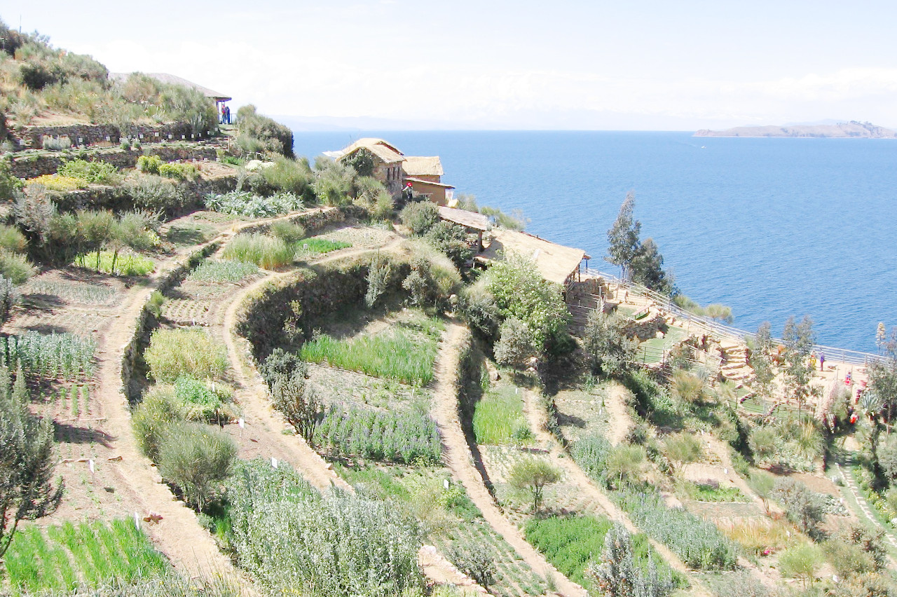
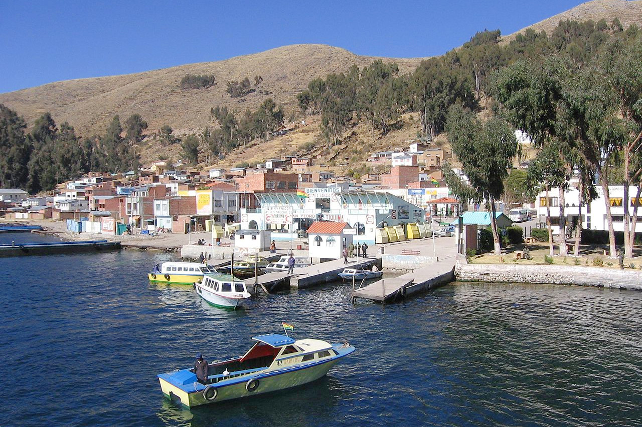
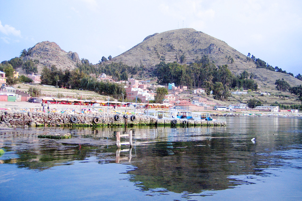 Copacabana, Titicaca
What is the climate of Bolivia like?
See our main article: The Climate of Bolivia
The Bolivian climate may be divided into three regions: the eastern llanos, where the climate is hot and damp; the highlands, with a more or less temperate climate; and the mountain regions, where the climate is comparatively cold. At La Paz, situated at an altitude of roughly 3,650 meters (12,000 feet), the summer temperature ranges from 7°C (44°F) to 20°C (68°F). The coldest months are June, July, and August, when the temperature is marked by extreme fluctuations. During December, January, and February, which constitute the wet season, rain is frequent, and the rivers can overflow. In the eastern plains the wet season lasts from November to April, but rains occur also during other parts of the year, and floods are frequent.
| Climate data for La Paz (1981–2010) | |||||||||||||
|---|---|---|---|---|---|---|---|---|---|---|---|---|---|
| Month | Jan | Feb | Mar | Apr | May | Jun | Jul | Aug | Sep | Oct | Nov | Dec | Year |
| Average high °C (°F) | 18.5 (65.3) | 18.7 (65.7) | 18.9 (66.0) | 19.2 (66.6) | 19.1 (66.4) | 17.8 (64.0) | 17.4 (63.3) | 18.4 (65.1) | 19.0 (66.2) | 19.8 (67.6) | 20.4 (68.7) | 20.0 (68.0) | 18.9 (66.0) |
| Daily mean °C (°F) | 12.9 (55.2) | 13.0 (55.4) | 13.0 (55.4) | 12.7 (54.9) | 11.8 (53.2) | 10.5 (50.9) | 10.1 (50.2) | 11.0 (51.8) | 11.9 (53.4) | 13.0 (55.4) | 13.7 (56.7) | 13.7 (56.7) | 12.3 (54.1) |
| Average low °C (°F) | 7.4 (45.3) | 7.3 (45.1) | 7.2 (45.0) | 6.3 (43.3) | 4.6 (40.3) | 3.3 (37.9) | 2.8 (37.0) | 3.7 (38.7) | 4.8 (40.6) | 6.2 (43.2) | 7.0 (44.6) | 7.5 (45.5) | 5.7 (42.3) |
| Average precipitation mm (inches) | 125.5 (4.94) | 81.0 (3.19) | 67.5 (2.66) | 27.1 (1.07) | 8.9 (0.35) | 7.9 (0.31) | 5.3 (0.21) | 12.1 (0.48) | 24.5 (0.96) | 37.8 (1.49) | 43.9 (1.73) | 82.3 (3.24) | 523.8 (20.62) |
| Source: Servicio Nacional de Meteorología e Hidrología de Bolivia | |||||||||||||
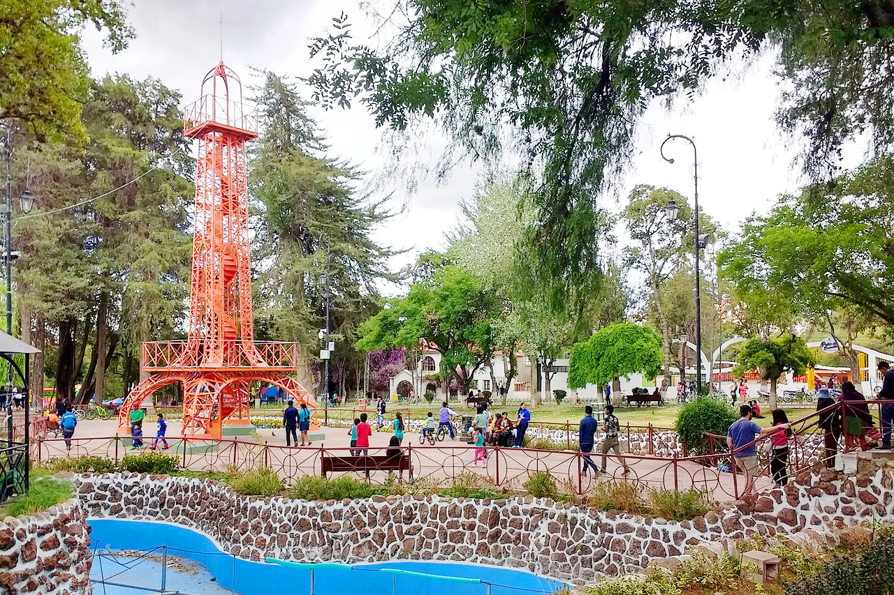 Parque Simón Bolívar, Sucre
Bolivia

Lo auténtico aún existe
| Location: | West-central South America |
| Coordinates: | 17° 00′ S, 64° 00′ W |
| Size: | • 1,530 km N-S; 1,450 km E-W • 950 miles N-S; 900 miles E-W |
| Terrain: | Andean highlands in the southwest, and an eastern tropical lowland plain |
| Climate: | Warm days and cold nights in the mountains with low rainfall. Tropical climate in the lowlands, with heavy rainfall in the north, but arid in the south |
| Highest point: | Nevado Sajama 6,542 m / 21,463 ft |
| Forest: | 51% (2015 est.) (source) |
| Population: | 12,054,379 (2022 est.) |
| Population density: | Low (10/km²) |
| Capital: | La Paz |
| Languages: | Spanish (40%), Quechua (37%), Aymará (24%) are all official languages |
| Human Development Index: | High (0.718) |
| Currency: | Boliviano |
