The Geography of
Colombia
Why visit Colombia?
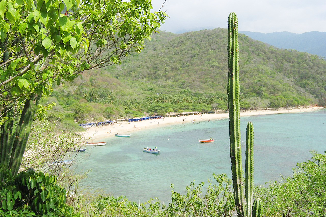
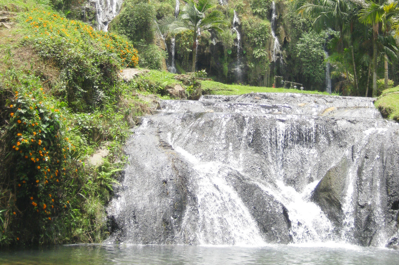
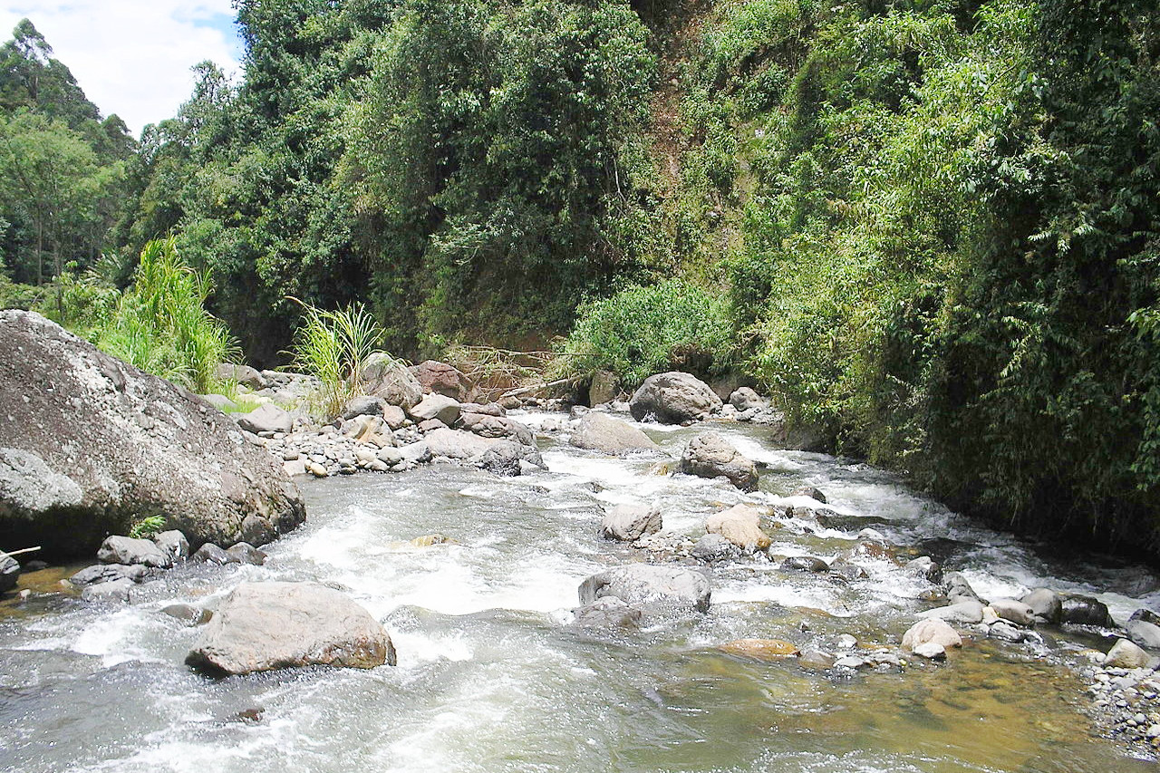
Colombia has an incredible range of experience to offer: some of the finest beaches in the world; the beauty of the triple range of Andean mountains; lushly green valleys, torrential streams, dense jungle. Every variety of tropical flower is to be found, and wild jaguars and pumas, armadillos and tapirs still lurk in the bush. It is said of Colombia that in no other country in the world are so many varieties of birds to be found.
Contents
Map
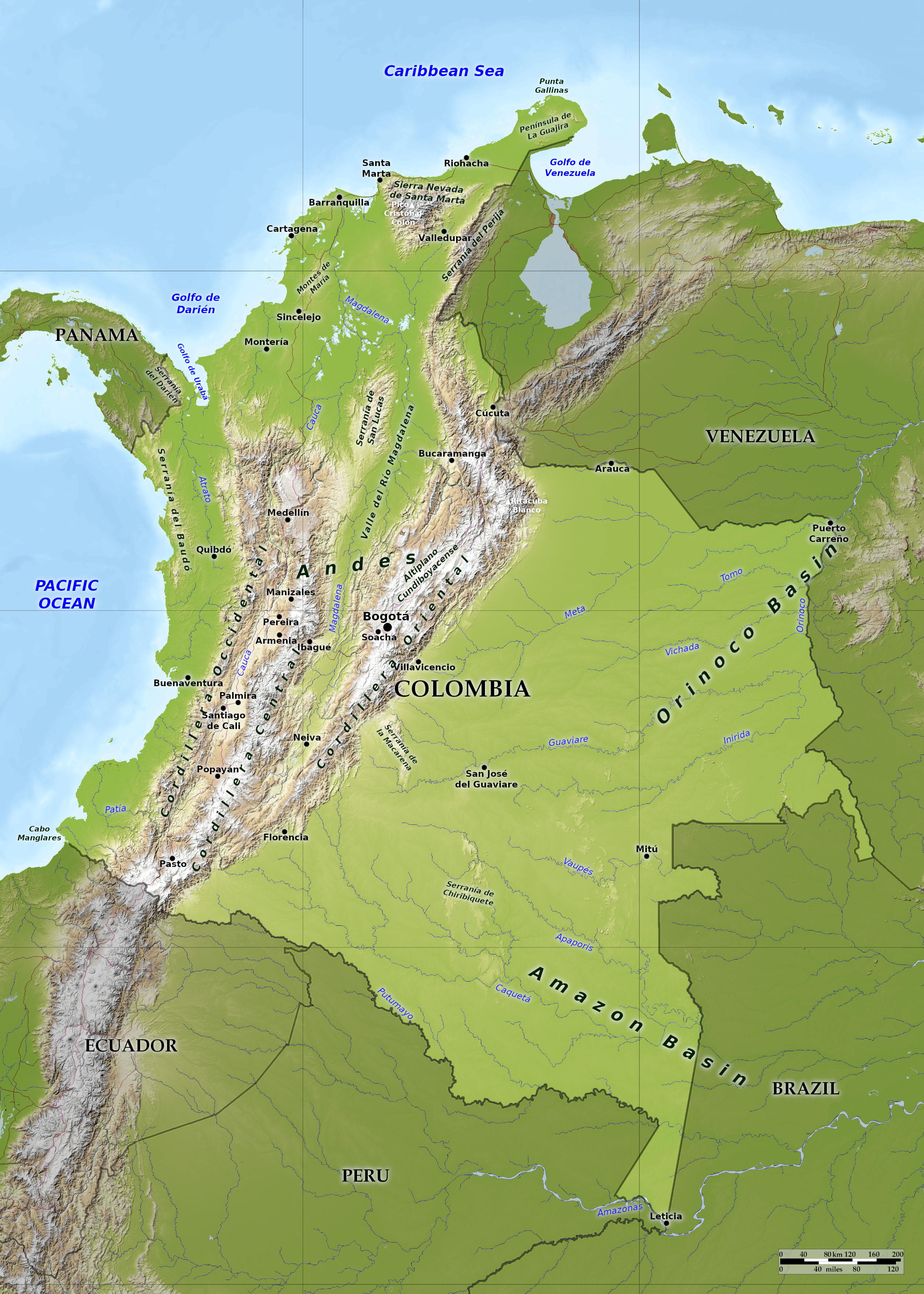 Relief map of Colombia
What is the landscape of Colombia like?
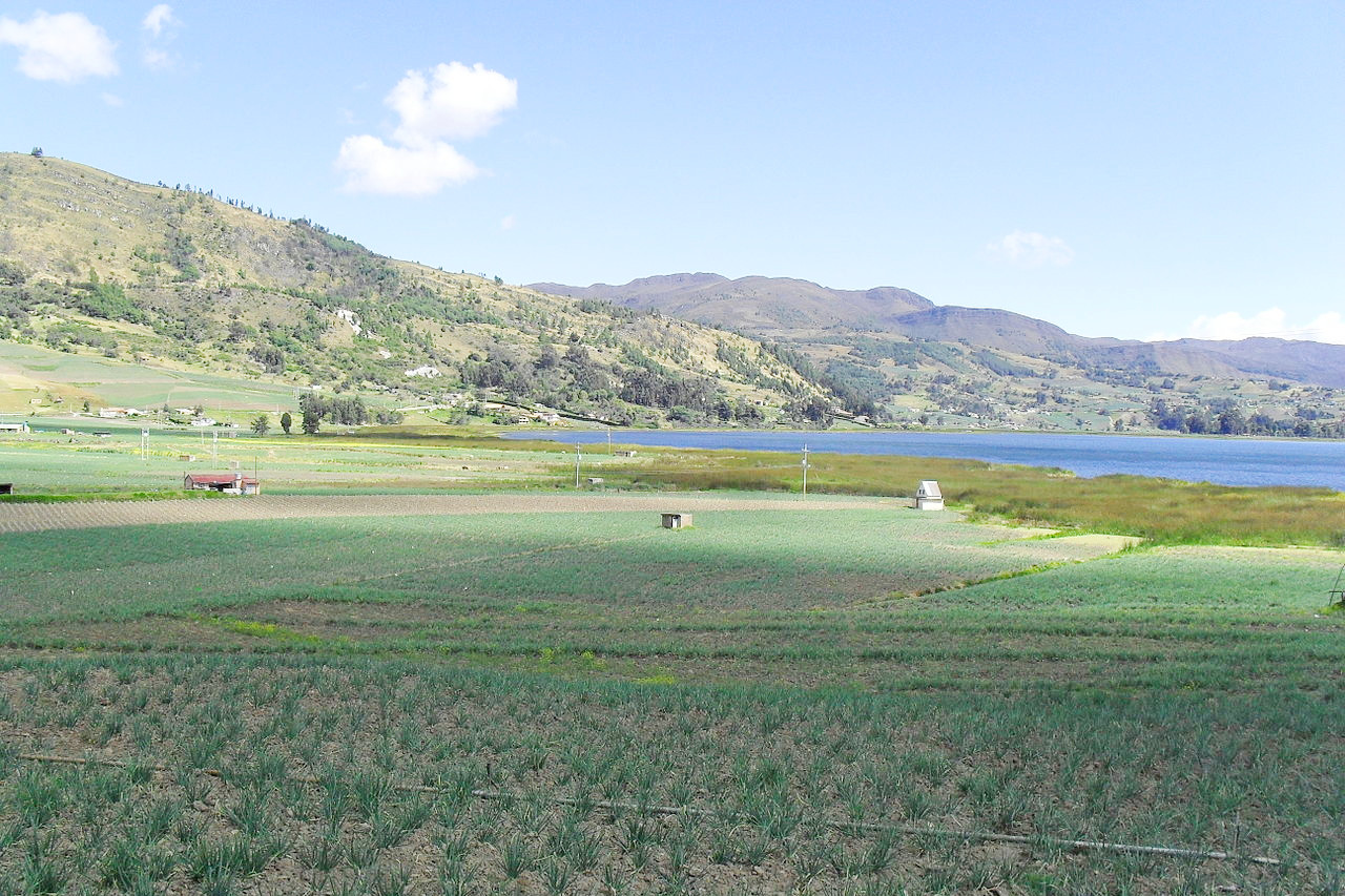
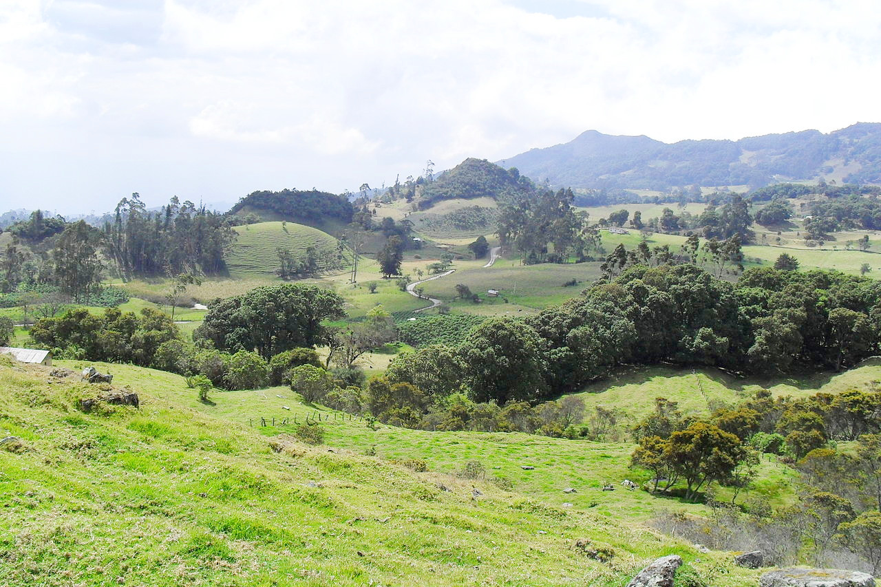
Colombia has an area almost three times that of California. The land slopes northward to the Caribbean Sea and westward to the Pacific. The west is dominated by three branches of the northernmost ranges of the Andes Mountains. To the east are sparsely inhabited plains and jungles comprising almost two-thirds of the country's total area. Much of the population are concentrated in the western mountain region.
The Andes
The outstanding feature of Colombia are the Andes which traverse the western portion of the country from north to south in three massive ranges known as the Western, Central, and Eastern Cordilleras. In the south, these three cordilleras merge in a complex mountain knot. Northward, they spread out fan wise and extend like three great fingers toward the Caribbean. Elevated river valleys, high tablelands, and lofty mountain peaks, some in excess of 5,500 meters (18,000 feet), characterize this highland portion of the country.
The Coastal Plains
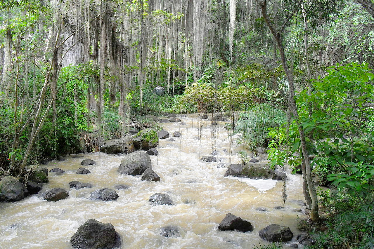
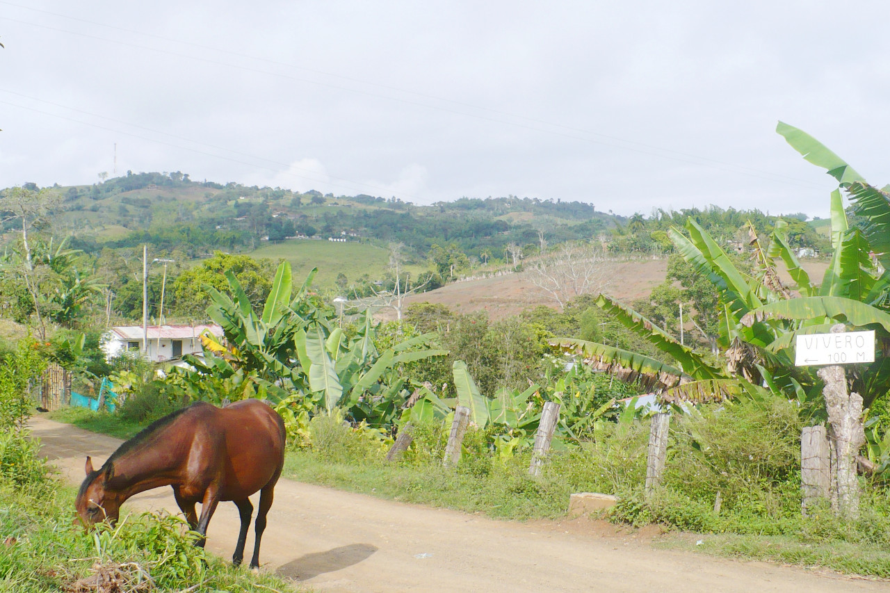
Along the Caribbean coast, there are tropical lowlands, except in the northeastern section where a low extension of the Andes system reaches the coast. These lowlands are naturally forested, but with extensive plantations of tropical crops. On the Pacific side, a low coastal range extends from the Panama border southward before it becomes tropical lowland. Between the coastal ranges and the Western Cordillera is the 300-mile-long, lowland, tropical valley of the Atrato River, which drains northward to the Caribbean. The coastal plains and the lowland valleys of the Magdalena and other rivers flowing to the Caribbean Sea are oppressively hot and very wet, especially on the Pacific coast, where rain falls every day.
The Interior Plains
Eastward of the Eastern Cordillera is a vast tropical lowland, grassy in the north where it is drained by the Orinoco river, and covered by a tropical forest in the southern Amazonian portion. More than half of Colombia consists of these eastern lowlands. The climate is always very hot, while the rainfall increases in quantity passing south. Thus the northern section, with a well-marked dry season, forms part of the savannas known as llanos, with forests along the river-courses. The section of Amazon lowlands in the south is densely forested.
What is the nature of Colombia like?
The great variety of climate and the very irregular surface naturally produce a varied flora. In the lower regions plant life is purely tropical and includes the common plants of South America. Large areas of the lowland plains have only a very limited tree growth; in many places coarse, hardy grasses and occasional clumps of palms are almost the only vegetation to be seen.
On the other hand, a luxuriant forest growth covers a very large part of the country, including the southern plains of the Amazon tributaries, the foothills, slopes and valleys of the Cordilleras, a larger part of the northern plains, and the whole surface of the Western Cordillera and coast. The most conspicuous and perhaps the most universal type in all these regions, is the palm, whose varieties are incredibly numerous. The forests are never made up wholly of palms, but are composed of trees of widely different characters. Tree ferns have a remarkable growth in many localities. The Guadua bamboo has a very wide range, and is found nearly up to the limit of perpetual snow. The cactus is also widely distributed, and with many well-known species.
The mountain slopes are mostly clothed with thick forests, the timber-line being above 3,000 meters (10,000 feet). Cinchona trees of several species are found between 2,000 and 2,750 meters (7,000 to 9,000 feet) above sea-level, and the aloe, the sarsaparilla, and other medicinal plants grow in abundance.
What is the climate of Colombia like?
See our main article: The Climate of Colombia
The climate of Colombia has an extraordinary variety. In the mountains it is moderate in the upper regions, but very hot in the valleys. Along the valley of the Magdalena the thermometer is frequently above 38°C (100°F). The llanos have an very hot climate, while on the Pacific coast the temperature is greatly modified by sea-breezes. On the table-lands of the smountains the mercury occasionally falls as low as 7°C (44°F). In the mountainous parts there are two rainy seasons; on the coast, rains occur at any time of the year.
| Climate data for Bogotá (1971–2000) | |||||||||||||
|---|---|---|---|---|---|---|---|---|---|---|---|---|---|
| Month | Jan | Feb | Mar | Apr | May | Jun | Jul | Aug | Sep | Oct | Nov | Dec | Year |
| Average high °C (°F) | 20.2 (68.4) | 20.3 (68.5) | 19.4 (66.9) | 20.1 (68.2) | 19.0 (66.2) | 19.2 (66.6) | 18.6 (65.5) | 18.8 (65.8) | 19.2 (66.6) | 19.5 (67.1) | 19.6 (67.3) | 19.9 (67.8) | 19.6 (67.3) |
| Daily mean °C (°F) | 14.3 (57.7) | 14.5 (58.1) | 14.9 (58.8) | 14.9 (58.8) | 15.0 (59.0) | 14.5 (58.1) | 14.6 (58.3) | 14.1 (57.4) | 14.3 (57.7) | 14.3 (57.7) | 14.4 (57.9) | 14.6 (58.3) | 14.4 (57.9) |
| Average low °C (°F) | 7.6 (45.7) | 8.4 (47.1) | 9.5 (49.1) | 9.7 (49.5) | 9.7 (49.5) | 9.5 (49.1) | 9.2 (48.6) | 8.9 (48.0) | 8.7 (47.7) | 9.0 (48.2) | 9.2 (48.6) | 8.0 (46.4) | 9.0 (48.2) |
| Average precipitation mm (inches) | 50 (2.0) | 68 (2.7) | 91 (3.6) | 135 (5.3) | 120 (4.7) | 54 (2.1) | 35 (1.4) | 45 (1.8) | 70 (2.8) | 137 (5.4) | 127 (5.0) | 81 (3.2) | 1,012 (39.8) |
| Source: Instituto de Hidrología, Meteorología y Estudios Ambientales | |||||||||||||
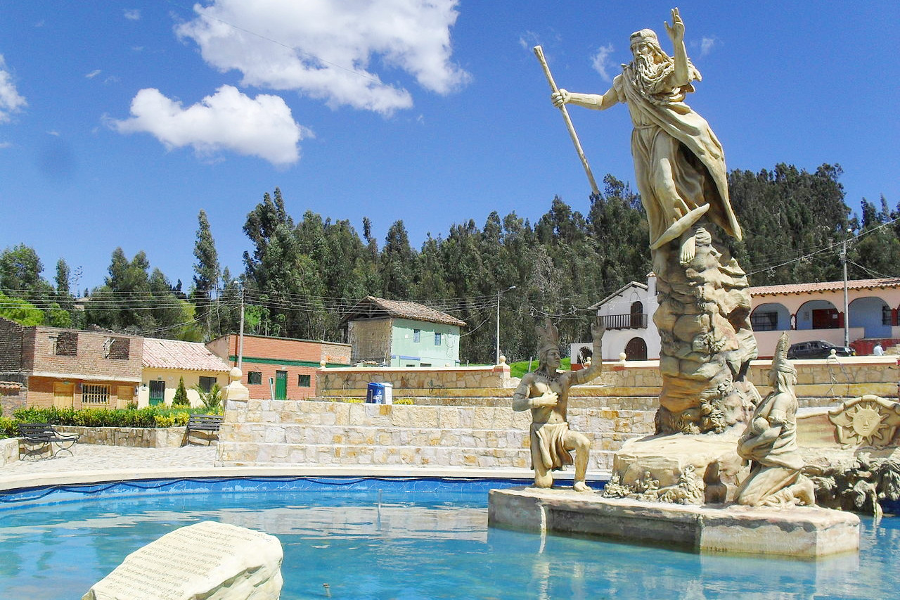
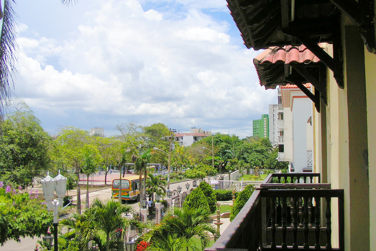 Park in Barranquilla, Colombia - Vista desde el Museo Romantico
The official websites
Colombia
Magical Realism
| Location: | Northwest South America, with both Caribbean and Pacific coastlines |
| Coordinates: | 4° 00′ N, 72° 15′ W |
| Size: | • 1,900 km N-S; 1,380 km E-W • 1180 miles N-S; 860 miles E-W |
| Terrain: | The Andes divide into three mountain chains. River plains south and east of the Andes |
| Climate: | Tropical at sea level, becoming temperate in the mountains |
| Highest point: | Pico Cristóbal Colón 5,730 m / 18,800 ft |
| Forest: | 53% (2015 est.) (source) |
| Population: | 49,059,221 (2022 est.) |
| Population density: | Low (43/km²) |
| Capital: | Bogotá |
| Languages: | Spanish; many Amerindian languages |
| Human Development Index: | High (0.767) |
| Currency: | Colombian peso |