The Climate of
Botswana
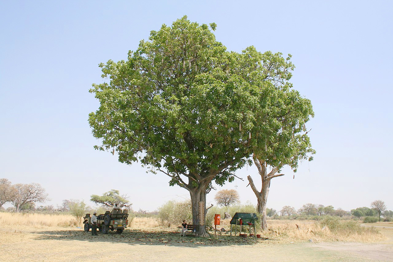
 Kigelia tree in the Okavango Delta
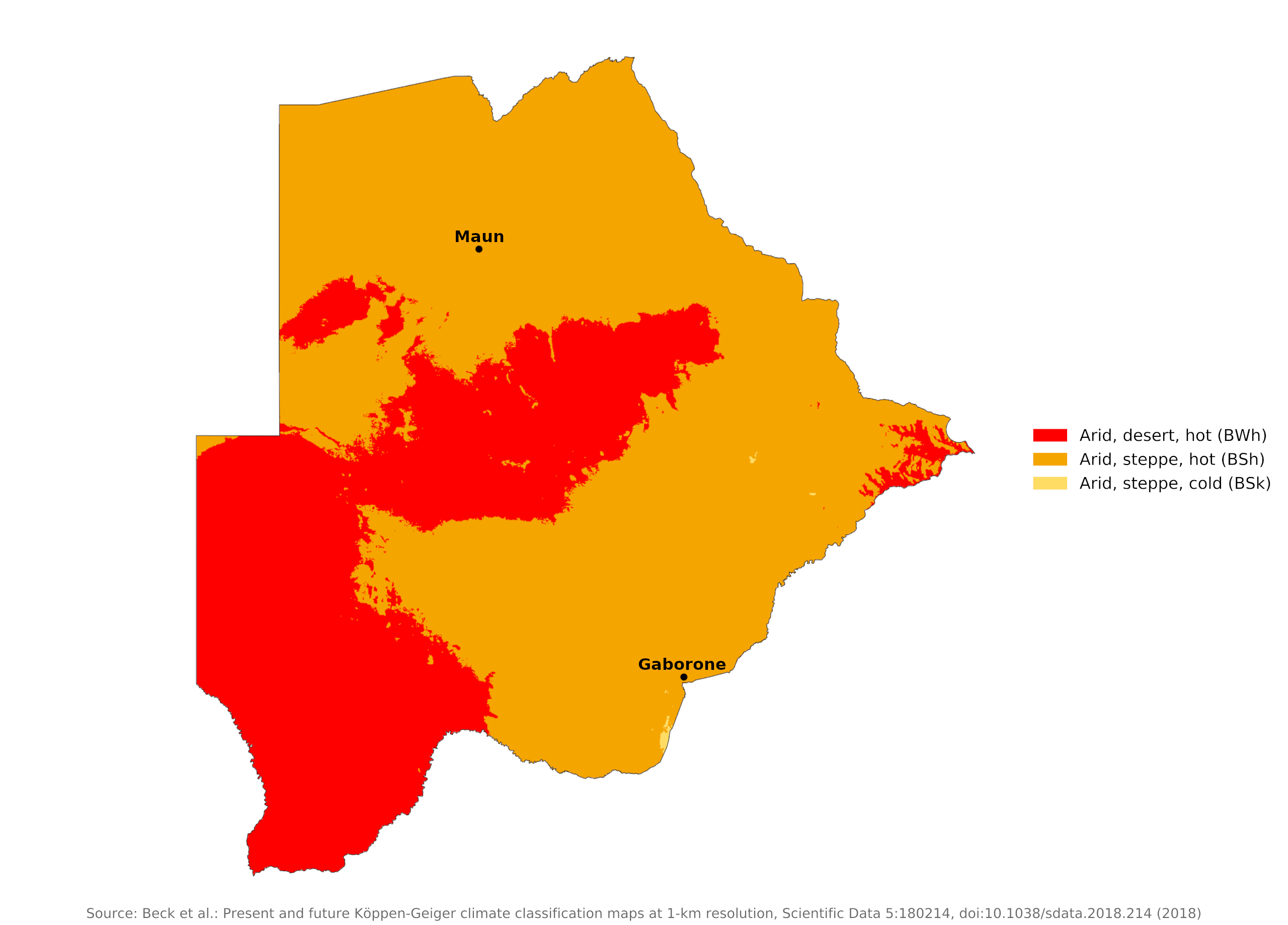
Climate Map
 Climate map of Botswana
What is the climate of Botswana like?
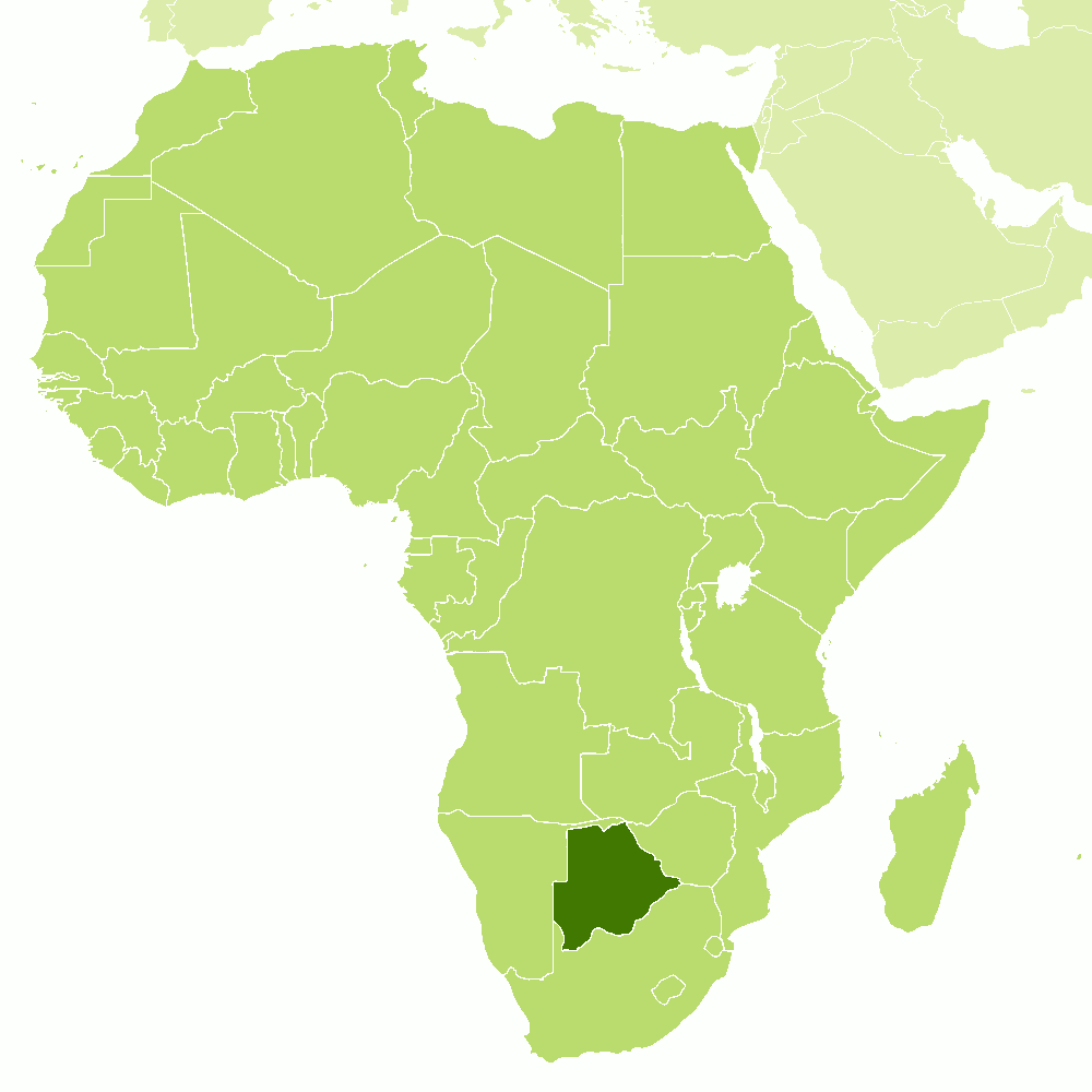
Botswana is a large but very sparsely populated country which lies in the centre of southern Africa and is surrounded by Namibia and Zimbabwe on the north and by South Africa on the east and south. Its weather and climate are like the western interior of South Africa—it is a region of low rainfall, partly desert and partly scrubland, with a low and unreliable rainfall, containing a part of the great Kalahari desert.
Though in great part within the tropics, the heat is counteracted by the dryness of the air. Throughout the year the nights are cool and refreshing; and winter nights can be quite cold. Temperatures in the hottest month of January range between 18°C and 33°C (64–91°F), but can reach as high as 40°C (104°F). In July, the coolest month, temperatures range between 5°C and 18°C (41–64°F). In August begin the seasonal winds that blow from the west and carry sand and dust across the country, often contributing to droughts. In the dry winter night frosts occur frequently, especially in the south and west.
The rainy season is the summer months, usually beginning in October and ending in April. However, rainfall is very erratic, with large differences between years and unpredictable distribution in any given year. From December to February violent thunder and hail storms are experienced. In the winter or dry season there are occasional heavy dust storms. The completely dry months are normally May to September.
Botswana's climate, in general, is arid or semi-arid. Annual rainfall decreases westwards and southwards. Normal rainfall averages 450 millimeters (18 inches) throughout most of the country except for the Kalahari Desert, in the southwest, which receives less than 250 millimeters (10 inches), and the far northern plateau regions, which receive about 700 millimeters (28 inches) annually.
Most rainfall takes the form of short, intensive showers during the October-April period, which is the summer season. Much of the rainwater is lost, due to rapid drainage and high evaporation. Rainfall is irregular, and drought a recurring hazard. Gaborone and Maun are representative of much of the country. Here mean annual rainfall is usually over 400 millimeters (16 inches) but in the west of the country it falls below 200 millimeters (8 inches).
Evaporation far exceeds precipitation, hence water is scarce. Permanent surface water is largely confined to the north in the Chobe and Okavango river systems. Rivers in the east are seasonal at best and rather ephemeral. Pans rarely hold rainwater beyond the middle of the dry season. There are no rivers in the Kalahari and the number of pans is limited, leaving large areas without any surface water all year round.
| Climate data for Gaborone (1981–2010) | |||||||||||||
|---|---|---|---|---|---|---|---|---|---|---|---|---|---|
| Month | Jan | Feb | Mar | Apr | May | Jun | Jul | Aug | Sep | Oct | Nov | Dec | Year |
| Average high °C (°F) | 32.7 (90.9) | 32.1 (89.8) | 30.8 (87.4) | 28.4 (83.1) | 25.6 (78.1) | 23.1 (73.6) | 22.9 (73.2) | 26.2 (79.2) | 30.0 (86.0) | 32.0 (89.6) | 32.3 (90.1) | 32.5 (90.5) | 29.1 (84.4) |
| Daily mean °C (°F) | 25.7 (78.3) | 25.2 (77.4) | 23.7 (74.7) | 20.6 (69.1) | 16.8 (62.2) | 13.7 (56.7) | 13.5 (56.3) | 16.9 (62.4) | 21.2 (70.2) | 24.0 (75.2) | 24.7 (76.5) | 25.3 (77.5) | 20.9 (69.6) |
| Average low °C (°F) | 19.7 (67.5) | 19.3 (66.7) | 17.4 (63.3) | 13.5 (56.3) | 8.3 (46.9) | 5.0 (41.0) | 4.4 (39.9) | 7.5 (45.5) | 12.3 (54.1) | 16.3 (61.3) | 17.7 (63.9) | 18.8 (65.8) | 13.4 (56.1) |
| Average precipitation mm (inches) | 143 (5.6) | 82 (3.2) | 74 (2.9) | 30 (1.2) | 8.3 (0.33) | 7.5 (0.30) | 1 (0.0) | 0.9 (0.04) | 5.8 (0.23) | 5.8 (0.23) | 58 (2.3) | 71 (2.8) | 487.3 (19.13) |
| Source: African Regional Climate Centre | |||||||||||||
| Climate data for Maun | |||||||||||||
|---|---|---|---|---|---|---|---|---|---|---|---|---|---|
| Month | Jan | Feb | Mar | Apr | May | Jun | Jul | Aug | Sep | Oct | Nov | Dec | Year |
| Average high °C (°F) | 31.5 (88.7) | 31.3 (88.3) | 31.0 (87.8) | 30.5 (86.9) | 27.9 (82.2) | 25.2 (77.4) | 25.4 (77.7) | 28.5 (83.3) | 32.3 (90.1) | 34.6 (94.3) | 33.6 (92.5) | 32.2 (90.0) | 30.3 (86.5) |
| Daily mean °C (°F) | 25.4 (77.7) | 25.1 (77.2) | 24.2 (75.6) | 22.6 (72.7) | 18.7 (65.7) | 15.7 (60.3) | 15.8 (60.4) | 18.8 (65.8) | 23.1 (73.6) | 26.6 (79.9) | 26.4 (79.5) | 25.8 (78.4) | 22.4 (72.3) |
| Average low °C (°F) | 19.4 (66.9) | 18.9 (66.0) | 17.5 (63.5) | 14.6 (58.3) | 9.5 (49.1) | 6.2 (43.2) | 6.2 (43.2) | 9.2 (48.6) | 14.0 (57.2) | 18.5 (65.3) | 19.3 (66.7) | 19.3 (66.7) | 14.4 (57.9) |
| Average precipitation mm (inches) | 104 (4.1) | 95 (3.7) | 81 (3.2) | 25 (1.0) | 5 (0.2) | 1 (0.0) | 0.5 (0.02) | 0 (0) | 1 (0.0) | 17 (0.7) | 43 (1.7) | 81 (3.2) | 452 (17.8) |
| Source: Deutscher Wetterdienst | |||||||||||||
References
- E. A. Pearce, Charles Gordon Smith, (1990) The Hutchinson World Weather Guide, John Murray Press. ISBN 1859863426
- Timothy L. Gall, (ed.), (2003), Worldmark Encyclopedia of the Nations, Eleventh Edition, Thomson Gale
- Chr. Michelsen Institute, (1988) Botswana country study and Norwegian aid review. ISBN 8290584113
- Botswana Game Ranching Handbook, (2014) Deutscher Entwicklungsdienst
- Hugh Chisholm, (ed.), (1911), Encyclopædia Britannica, Eleventh edition, Cambridge University Press
The Climate of
Botswana

In summary:
Most of the country has a subtropical climate, while the higher altitudes have cooler temperatures. Winter days are warm with cool nights, although the desert is commonly covered in heavy frost. The August seasonal winds that blow from the west carry sand and dust across the landscape.
Normal rainfall averages 450 millimeters (18 inches) throughout most of the country except for the Kalahari Desert, in the south, which receives less than 250 millimeters (10 inches), and the wet northern plateau regions, which receive about 690 millimeters (27 inches) annually.