The Geography of
Denmark
Why visit Denmark?
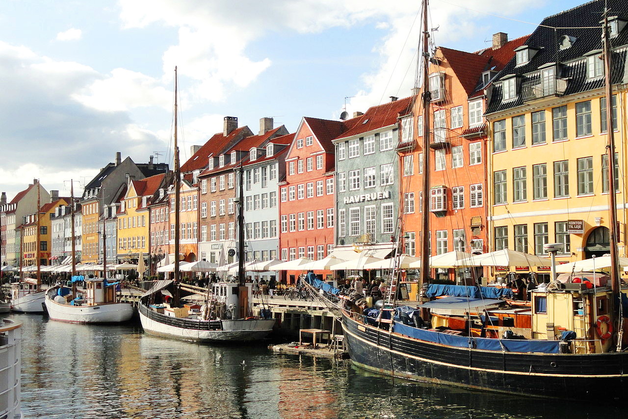
Denmark is widely known as a beautiful country with rolling green hills and picturesque villages. The country is well-known for its architecture like the Royal Frederiksborg Castle and the medieval stronghold of Kronborg Castle. The Danish capital Copenhagen has an enchanting medieval core—the city almost hums with a Mediterranean gaiety—it has rococo palaces, high green spires, fine restaurants, pleasure gardens—and spontaneous, friendly people. It is hard not to be impressed by the natural beauty of Denmark and the care that the Danish people take in maintaining their country's beauty.
Contents
Map
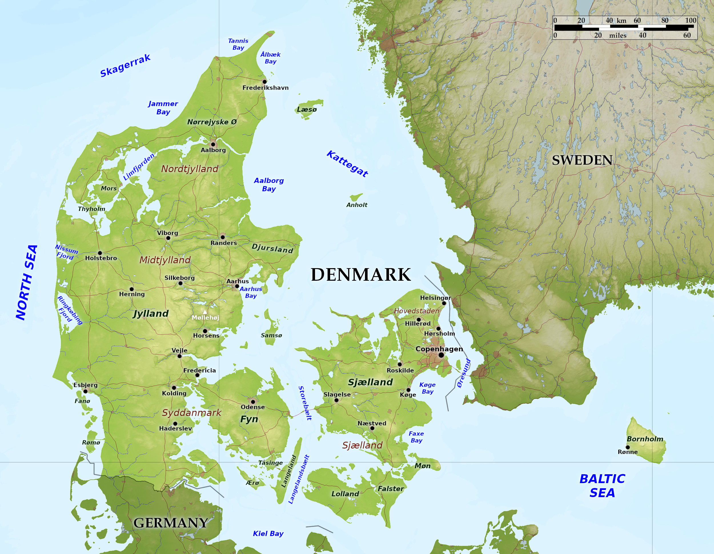 Relief map of Denmark
What is the landscape of Denmark like?
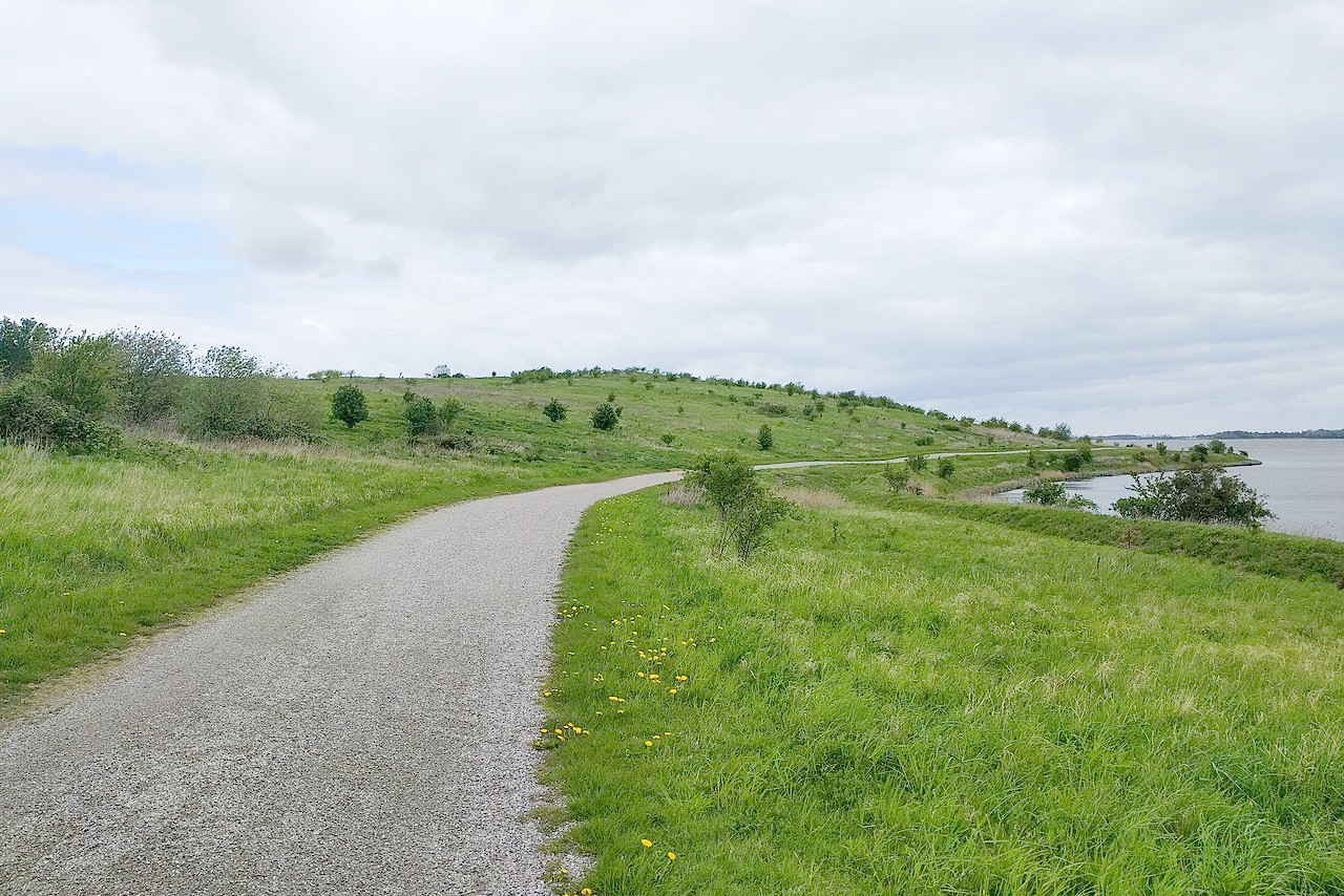
Denmark is a country of small hills, moors, ridges, rivers, fjords, raised sea beds, and, on the west coast, downs and marshes. There are many beautiful islands which account for over one-third of its land area.
Jutland
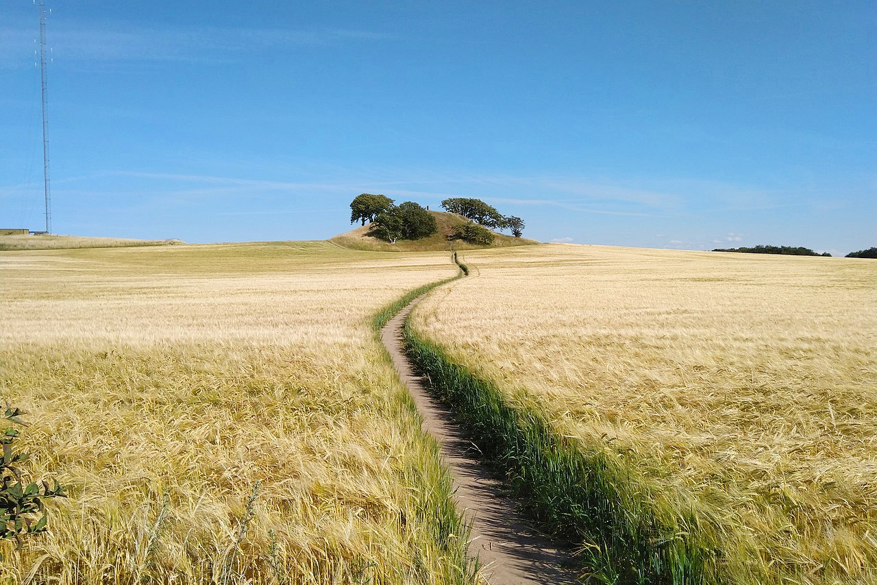
The peninsula of Jutland (Jylland) accounts for around two-thirds of the country. In the north and west Jutland consists of stretches of sandy moorland clothed with heather scattered with farms, whereas the loam plains of the east are more densely settled. Although Denmark is primarily a low-lying country, it is nowhere low in the sense in which the Netherlands is. The country is constantly varied, rising a little at the coast, and valleys furrow the glacial landscape.
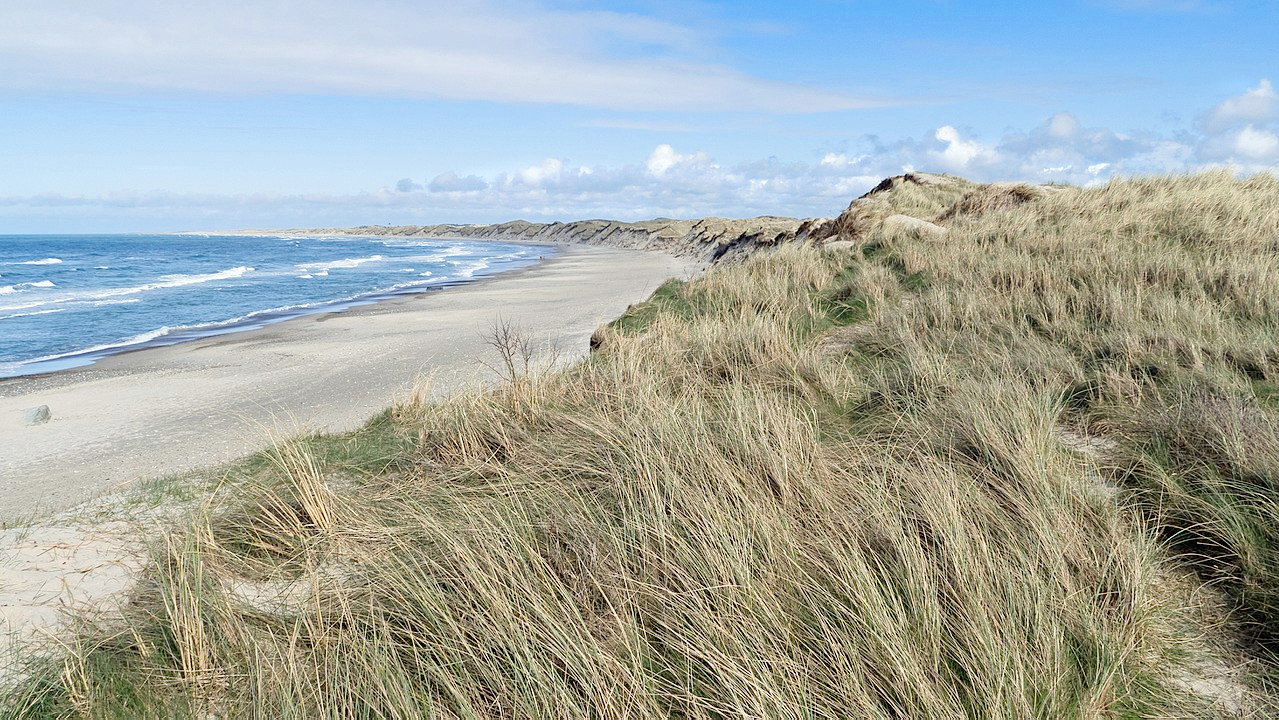
In the western and northern districts of Jutland the wide expanses of moorland end towards the sea in low whitish-grey cliffs. There is a quiet natural beauty about these heathland tracts, and it can never be said that the region lacks charm. The whole western shore of Jutland is a succession of sand ridges and shallow lagoons. A belt of sand dunes, up to 11 km (7 miles wide), stretches along the whole of this coast for about 320 km (200 miles).
Along the west coast of the peninsula there are two great fjords, Ringkøbing and Nissum. Further north is Nissum Bay. The most notable fjord is Limfjord, which stretches all the way across Jutland from Ålborg Bay to Nissum Bay in the west. This separates the north extremity of Jutland, effectively forming a separate island. At the far north Skagen Odde (or The Skaw), a long, low, sandy point, stretches far into the North Sea.
-November_2006.JPG)
The coastline of eastern Jutland is heavily indented with fjords, bays, and other inlets, forming numerous natural harbors. South of Aalborg Bay the coast juts out to form the Djursland Peninsula, south of which is Aarhus Bay and many smaller fjords. Dozens of lakes dot the middle interior region of the Jutland, known as the Lakeland region. There are many small lakes, overhung with thick beech-woods, which are extremely beautiful.
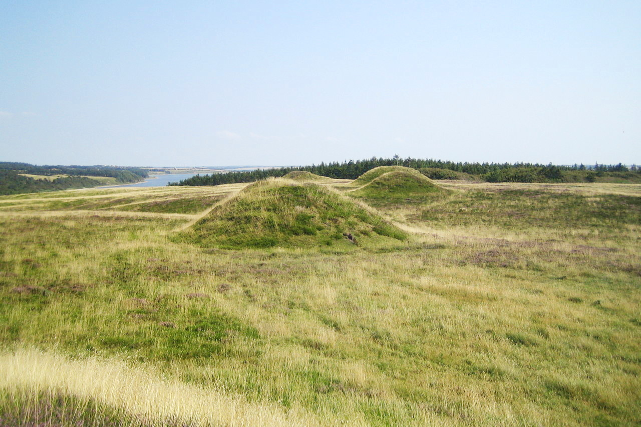
Eastern Jutland also has lines of low, wooded hills, deep-cut valleys, fertile fields and meadows, bubbling rivulets, and beautiful lakes. Although never high, there are hills and ridges of 150 to 170 meters (485 to 560 feet). The highest point, Møllehøj in eastern Jutland, rises 171 meters (561 feet) above sea level. The landscape of southeastern Jutland is rich in beech woods, corn fields and meadows.
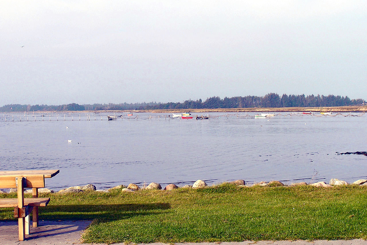
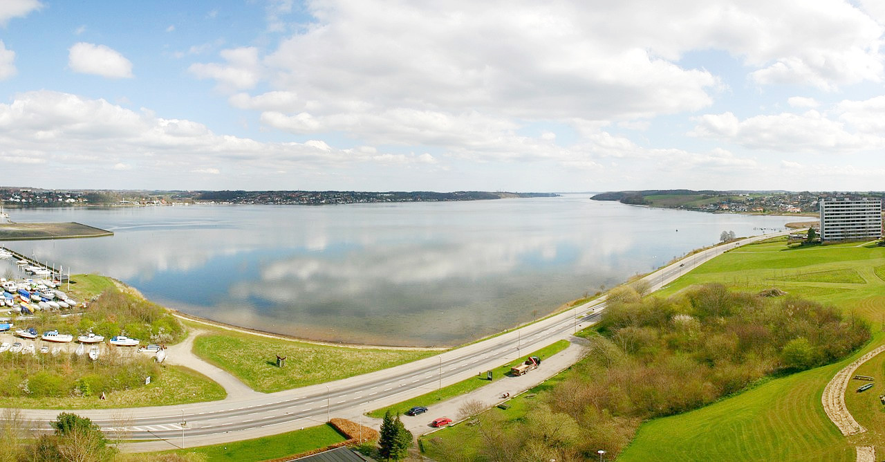 Kolding fjord seen from the west
Fyn
The narrow Lille Strait separates the island of Fyn from Jutland. Fyn is an oval island about 80 km (50 miles) long, which is separated from Jutland by a channel not half a mile wide in the north. Fyn has a joyous landscape of fertile meadows, beech forests clothing the low hills, and the presence of numerous boulders left behind by retreating ice sheets. The chief settlements of Fyn itself are all on the coast. Odense is the main town, lying close to a great inlet on the northeast, known as Odense Fjord.
Ærø and Langeland
Several islands, none of great size, lie off the west coast of Fyn in the Lille Strait. Off the south coast, however, an archipelago is enclosed by the long narrow islands of Ærø (25 km / 16 miles in length) and Langeland (50 km / 32 miles), including in a triangular area of shallow sea the islands of Tåsinge, Avernakø, Drejø, Thurø and others. These are generally green and fertile islands.
Sjælland
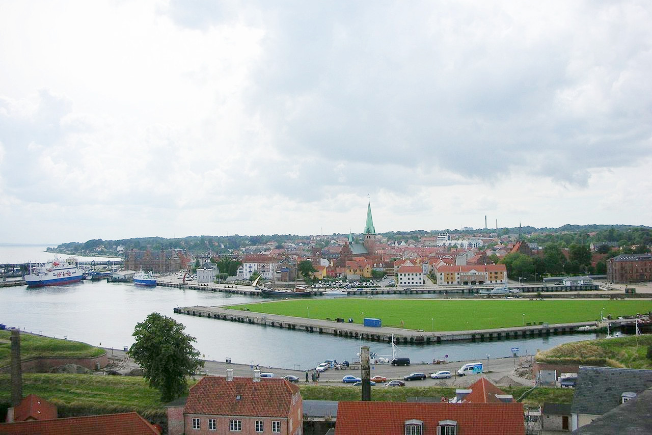
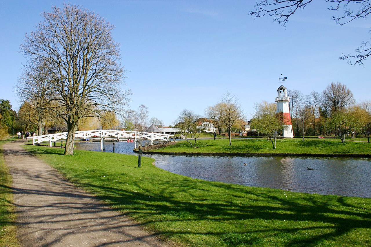
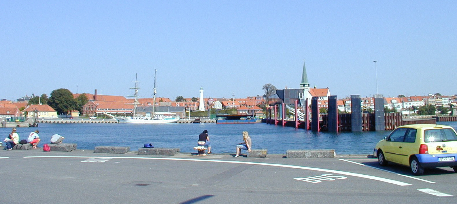
Connected to Fyn by a series of bridges and tunnels is the largest island—Sjælland. This island measures 130 km (80 miles) from north to south and 110 km (70 miles) from east to west. In can be considered the nucleus of the country as it contains the capital, Copenhagen, and such important towns as Roskilde, Slagelse, Korsør, Næstved and Helsingør (the 'Elsinore' of Hamlet fame). The nucleus of Copenhagen is built on low-lying ground on the east coast, between the sea and a series of small freshwater lakes. The Øresund Bridge, opened in 2000, spans the Øresund strait to Malmö in Sweden. The other town of importance is the old cathedral city of Roskilde. It was the capital of the kingdom until 1443—the cathedral contains the tombs of most of the Danish kings and queens.
Sjaelland has a fantastic coastline indented by fjords and projecting into long spits or promontories. The landscape is mostly undulating although only a little above sea-level. The highest portion is in the southeast, where chalk hills reach heights of upwards of 100 meters (350 feet). The coast is indented by many deep bays and fjords; the Ise Fjord in the north, with its branches the Roskilde Fjord on the east and Lammefjord on the west, penetrates inland for about 40 km (25 miles).
Lolland, Falster, and Møn
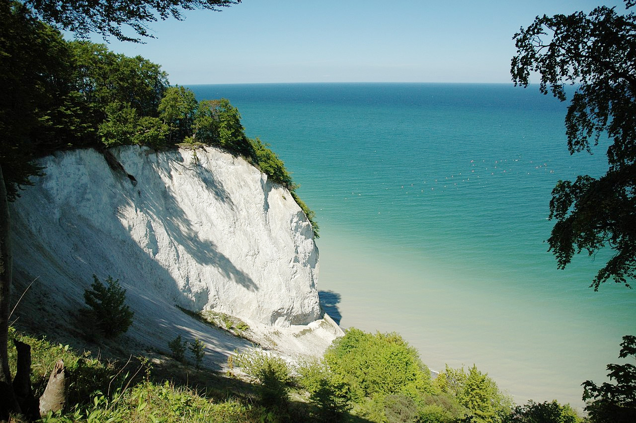
The smaller islands of Lolland, Falster, and Møn lie to the south across the Småland Sound to the south of Sjælland. All these islands are connected by bridges. At Gedser, on Falster, is the extreme southern point of Denmark. The eastern coast of Møn is rocky and bold. White chalk cliffs rise from the beach about 128 meters (422 feet) in an area known as Møn Cliff (Møns Klint).
Bornholm
Bornholm, Denmark's easternmost island, is south of Sweden in the Baltic Sea. The island measures 40 km (25 miles) from southeast to northwest, and is home to around 40,000 people. The capital of the island is Rønne on the west coast, much of the rest of the island is in effect a nature reserve.
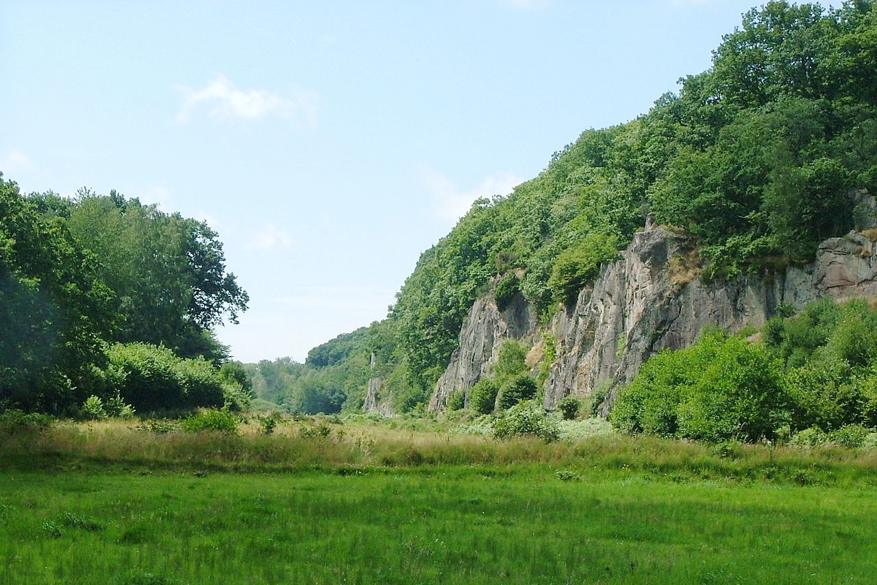
The landscape is generally hilly; the scenery is fine in the north, where there are coastal cliffs of granite. In early times Bornholm was the independent seat of marauding Vikings. The island has changed hands between Danish and Swedish rule several times over the centuries, until the island coming finally into the possession of Denmark in 1660.
 Rønne harbour, Bornhom
What is the nature of Denmark like?
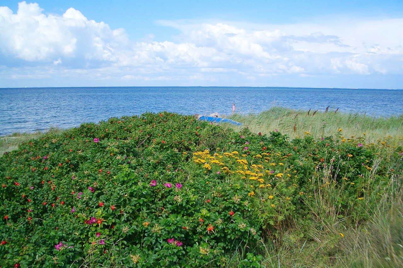
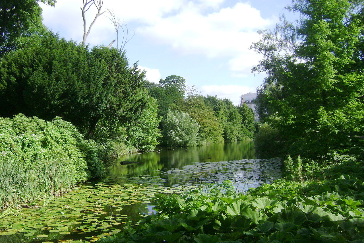
The plantlife of Denmark is more varied than might be expected. On the western, Atlantic, side there are distinctive heathlands, sandhills and peat bogs, whereas the east is made of fields and farms where plants grow freely in the mild air. Only thirteen percent of Denmark is covered by forest—mainly beech and oak trees, with other species including elm, hazel, maple, pine, birch, aspen, linden, and chestnut. Original old growth forest is rare but in Rebild National Park in northern Jutland is a section of natural forest that once covered much of eastern Jutland. Denmark has many species of ferns, flower, fungi, and mosses.
What is the climate of Denmark like?
See our main article: The Climate of Denmark
-November_2006.JPG&oldid=509501302)
Denmark has a temperate, maritime, climate—the days are often humid and overcast; winters are cool and windy, and summers are mild to warm. The mild climate is caused by the generally westerly winds and by the fact that the country is nearly encircled by water. The islands have, upon the whole, a somewhat warmer climate than Jutland, but in winter a fringe of ice generally lines the greater part of the Danish coasts on the eastern side.
There is little fluctuation between day and night temperatures, but sudden changes in wind direction can cause considerable temperature changes. The average temperature in February, the coldest month, is 0°C (32°F), and in July, the warmest, 17°C (63°F). Rainfall comes fairly evenly throughout the year, and is highest on the west coast of Jutland.
| Climate data for Copenhagen (1981–2010 | |||||||||||||
|---|---|---|---|---|---|---|---|---|---|---|---|---|---|
| Month | Jan | Feb | Mar | Apr | May | Jun | Jul | Aug | Sep | Oct | Nov | Dec | Year |
| Average high °C (°F) | 3.4 (38.1) | 3.6 (38.5) | 6.5 (43.7) | 11.8 (53.2) | 16.7 (62.1) | 19.6 (67.3) | 22.2 (72.0) | 21.8 (71.2) | 17.5 (63.5) | 12.6 (54.7) | 7.6 (45.7) | 4.4 (39.9) | 12.3 (54.1) |
| Daily mean °C (°F) | 1.4 (34.5) | 1.4 (34.5) | 3.5 (38.3) | 7.7 (45.9) | 12.5 (54.5) | 15.6 (60.1) | 18.1 (64.6) | 17.7 (63.9) | 13.9 (57.0) | 9.8 (49.6) | 5.5 (41.9) | 2.5 (36.5) | 9.1 (48.4) |
| Average low °C (°F) | −0.7 (30.7) | −0.8 (30.6) | 0.7 (33.3) | 4.2 (39.6) | 8.6 (47.5) | 11.9 (53.4) | 14.3 (57.7) | 14.1 (57.4) | 10.8 (51.4) | 7.1 (44.8) | 3.3 (37.9) | 0.5 (32.9) | 6.2 (43.2) |
| Average precipitation mm (inches) | 53.0 (2.09) | 36.9 (1.45) | 42.3 (1.67) | 35.8 (1.41) | 47.2 (1.86) | 63.9 (2.52) | 60.9 (2.40) | 67.5 (2.66) | 61.0 (2.40) | 63.3 (2.49) | 56.4 (2.22) | 57.4 (2.26) | 645.7 (25.42) |
| Source: Danish Meteorological Institute | |||||||||||||
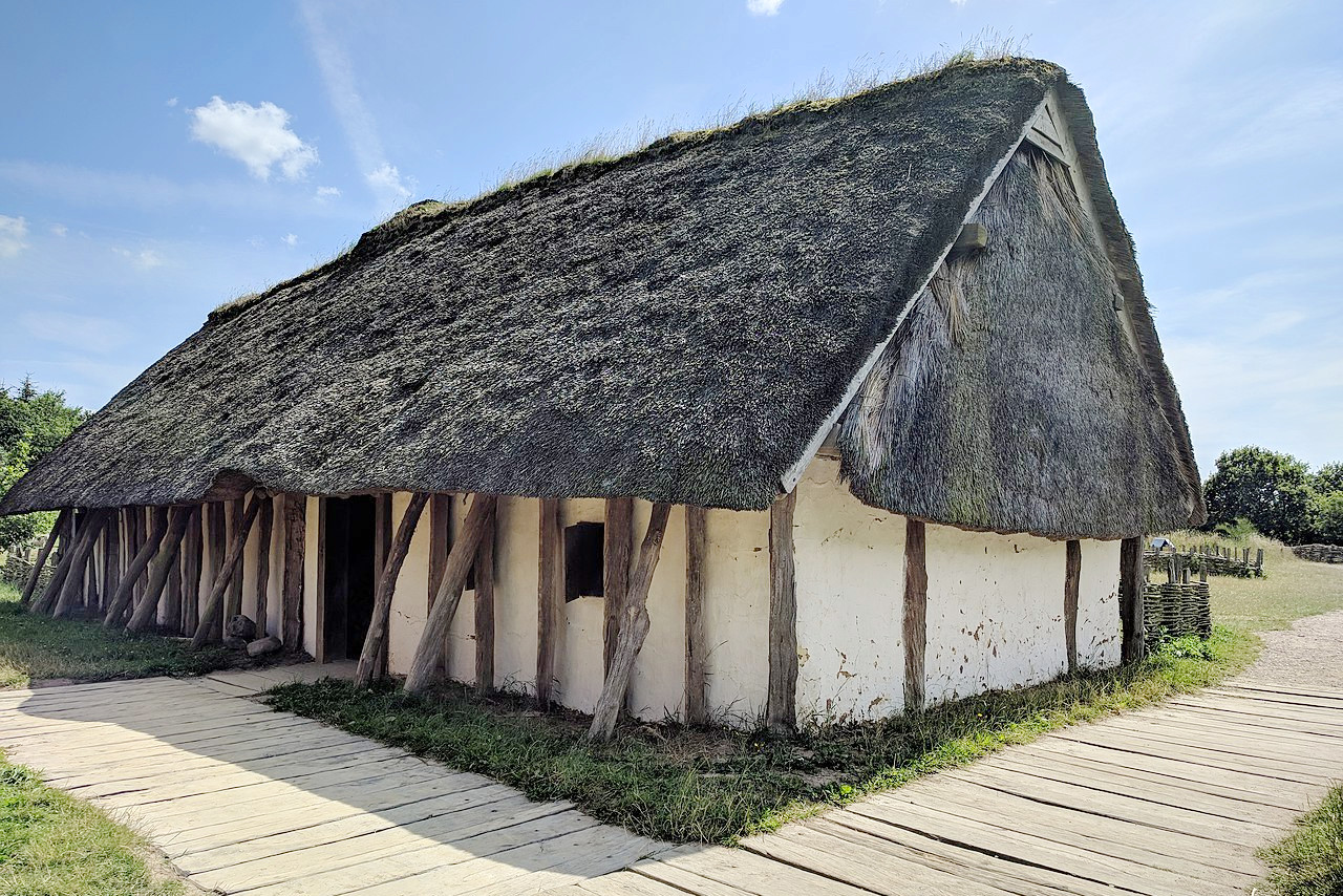 Reconstructed Viking house, Ribe VikingeCenter
The official websites
Denmark
“The Happiest Place on Earth”
| Location: | Northern Europe, bordering the Baltic Sea and the North Sea, north of Germany |
| Coordinates: | 56° 00′ N, 10° 00′ E |
| Size: | • 350 km N-S; 440 km E-W • 220 miles N-S; 275 miles E-W |
| Terrain: | Low and flat to gently rolling plains |
| Climate: | Temperate; often humid and cloudy; cool, windy winters and mild summers |
| Highest point: | Møllehøj 171 m / 561 ft |
| Forest: | 12.9% (2011 est.) |
| Population: | 5,894,687 (July 2021 est.) |
| Population density: | High (138/km²) |
| Capital: | Copenhagen |
| Languages: | Danish; German (small minority); English (predominant second language) |
| Human Development Index: | Very high (0.940) |
| Currency: | Danish kroner |