The Geography of
Finland
Why visit Finland?
Finland is a beautiful land of innumerable inland lakes and forests of boundless extent. A large part of it, Lapland lies above the Arctic Circle. At its northermnost reaches, this "Land of the Midnight Sun" has daylight at midnight for nearly two months of the summer, but also darkness at noon during nearly two months of the winter Polar Night. From a central forested plateau, the land rises in the north, making for good skiing in the spring and beautiful scenery throughout the year. In the south and southwest are the 30,000 islands of the Finnish Archipelago, and most of the population.
Contents
Map
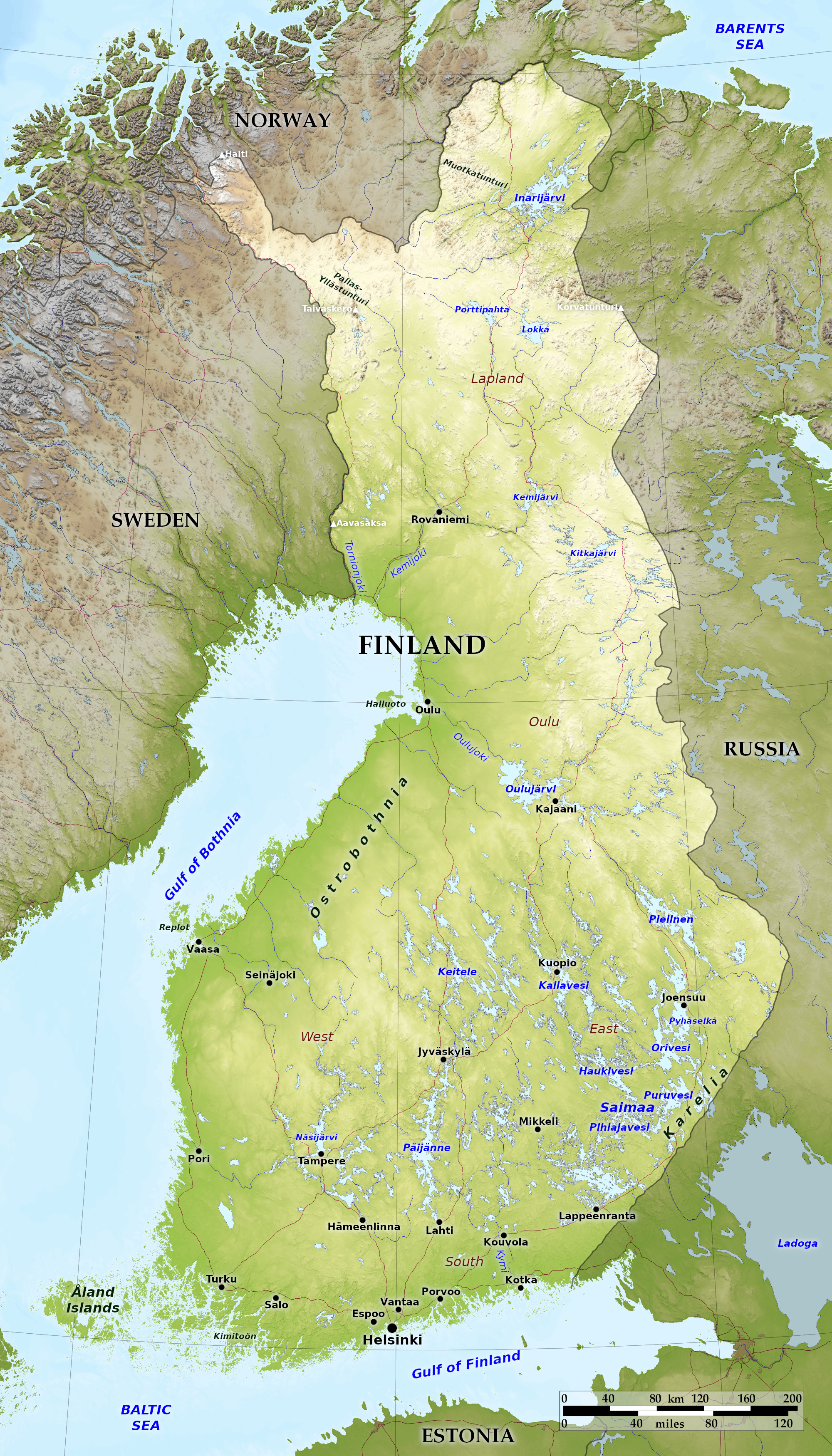 Relief map of Finland
What is the landscape of Finland like?
Finland can be said to have four natural regions: the countless little islands culminating in the Åland Islands; the coastal plains extending from Russia to the Swedish border; the core region of more than 55,000 lakes set within deep forest; and the vast northern region extending into Lapland: a land of hills, forests, peat bogs, and the country's largest and longest rivers.
Coasts and islands
Islands
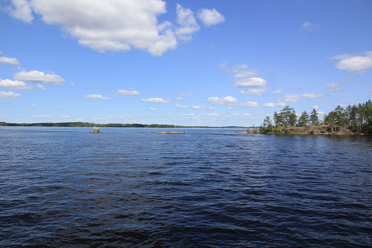
The coast of Finland, particularly on the south, is fringed by a vast number of rocky islets separated from the mainland and each other by intricate channels. There are many thousands of these little islands, some are forest-covered, others are bare bedrock islands. On the southwest corner they form a dense network of islands extending out into the Baltic Sea towards the Åland Islands. Navigation by boat through this network is extremely difficult, and during the winter months, the islands are physically linked to Finland by the frozen waters of the sea. The larger islands are higher and more wooded—they are enveloped in low pinewoods, in the open spaces between which bare rocks, occasional houses can be seen.
The largest group of islands is the Åland archipelago about 15 miles from the coast. This group consists of nearly three hundred habitable islands, of which about eighty are inhabited. The largest island (about 30 miles wide) is Fasta Åland where about ninety percent of the archipelago's population lives. Fasta Åland lies halfway between Finland and Sweden, and Swedish language and culture are dominant here.
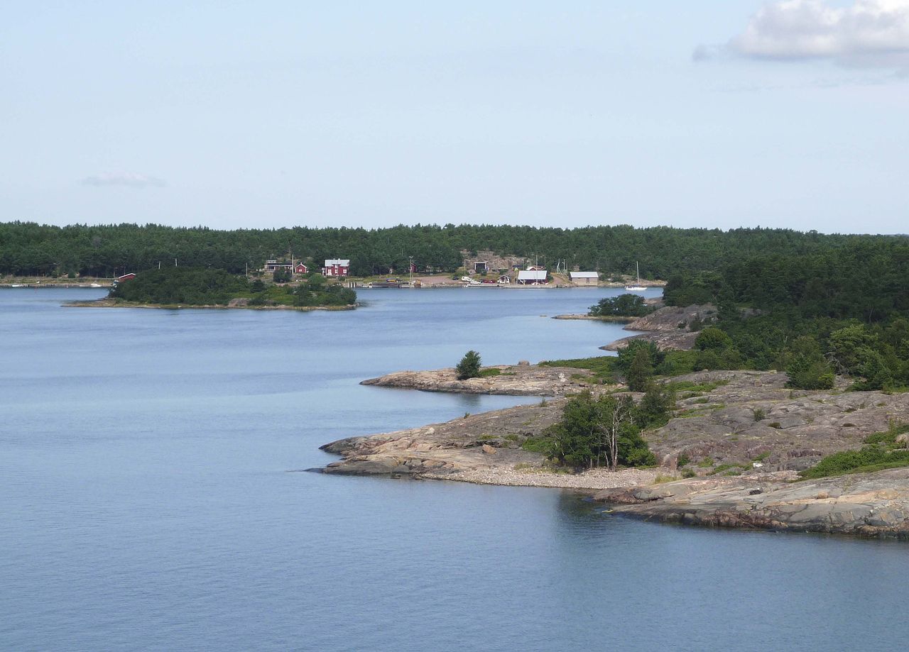
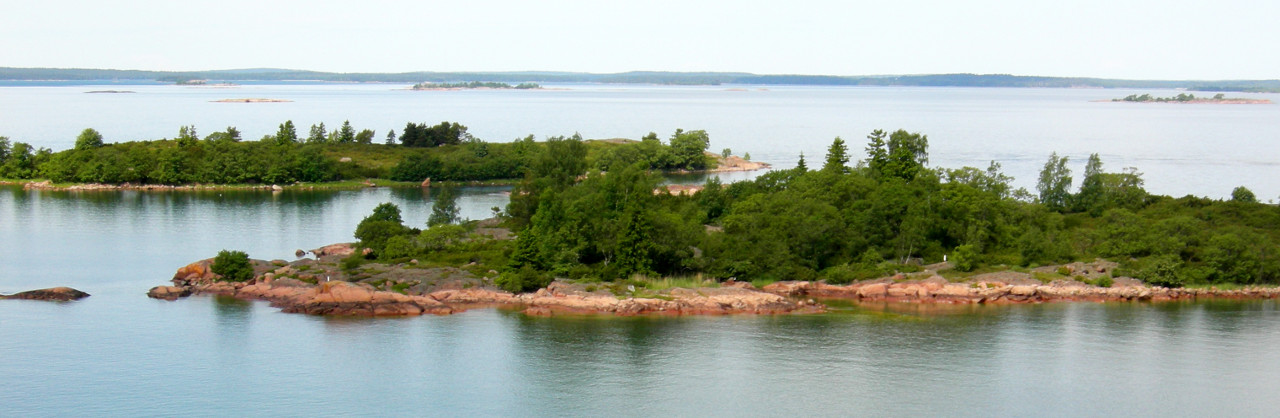 Archipelago Sea
South coast
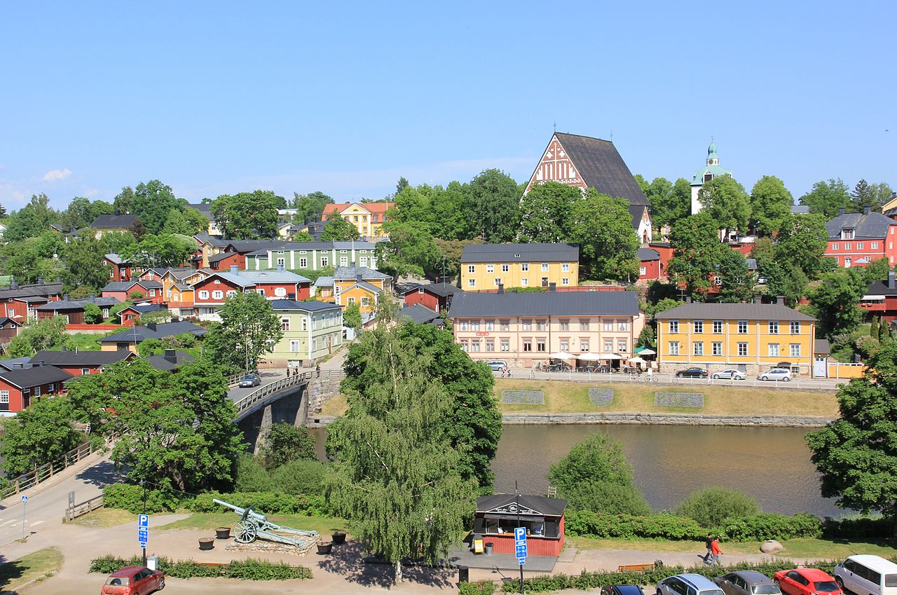
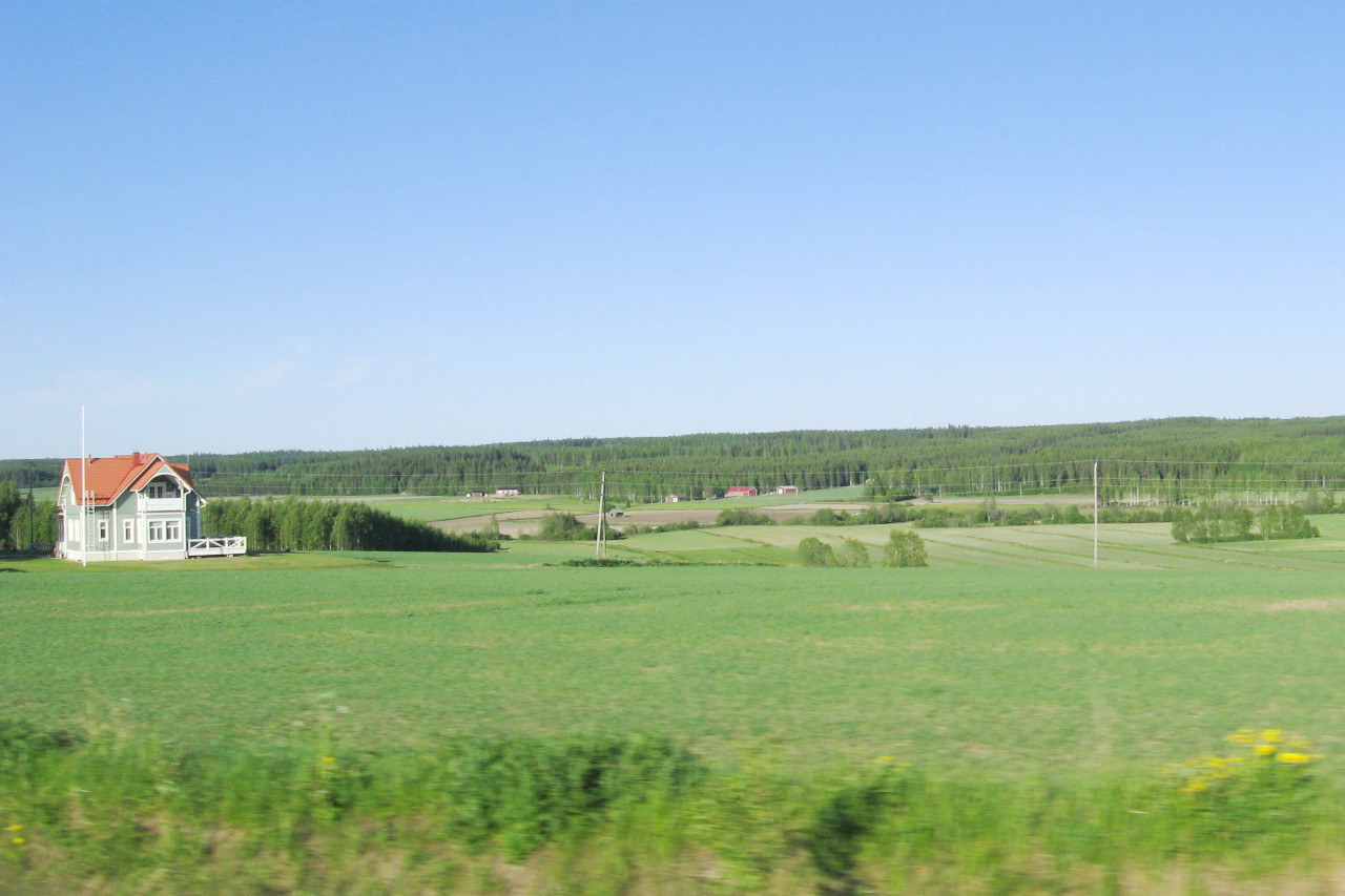
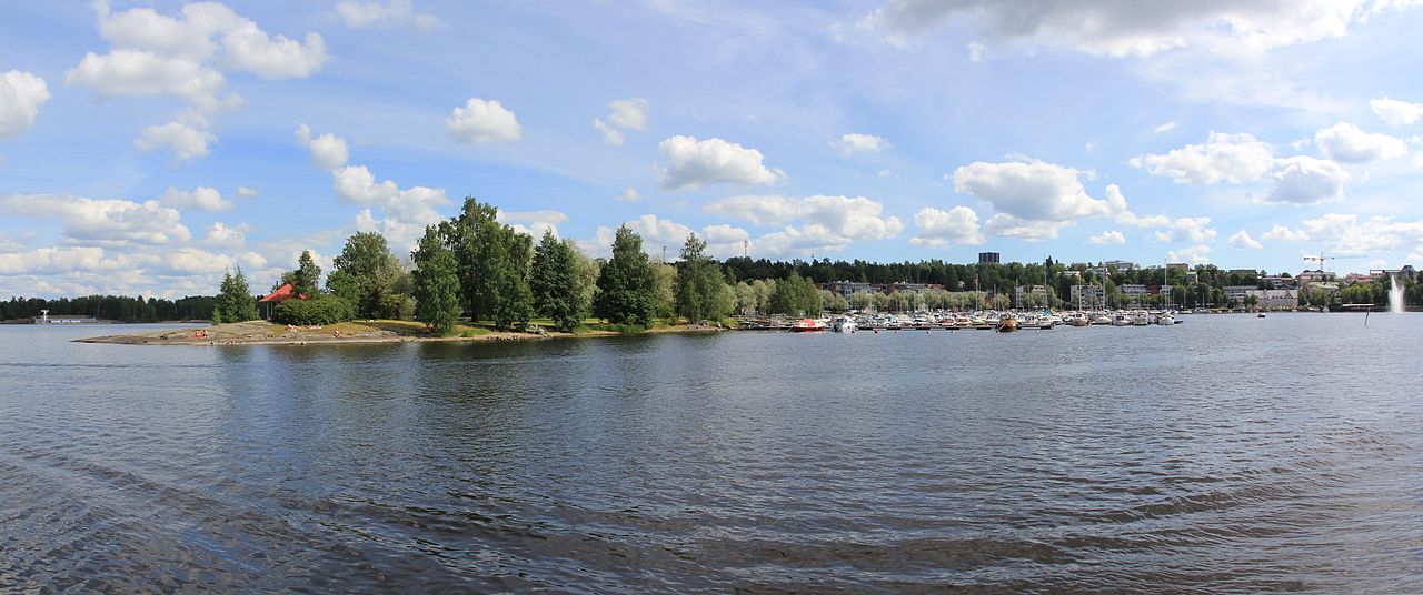
The south and southwest coasts are very rocky, but behind them are Finland's oldest arable regions. This coastal strip, some 50 miles deep, is uneven country, with forested hills interspersed with extensive plains and valleys under cultivation. This is where a large bulk of the population lives, especially in and around the three big cities of Helsinki, Tampere and Tartu. The countryside is one of farmsteads with old manor houses and grey stone medieval churches, all surrounded by orchards and parks framed by forest land.
 Hintsa manor, Raisio
West coast
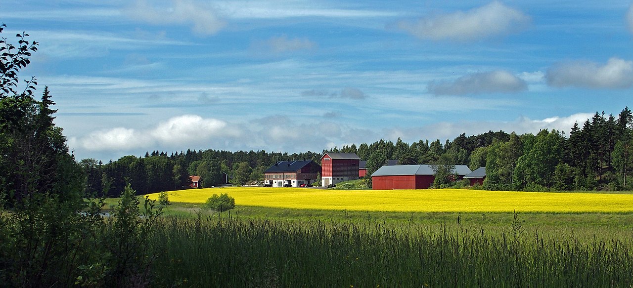
The west coast heading up the coast of Ostrobothnia generally has fewer islands. The main exception is the Kvarken archipelago in the neighbourhood of Vaasa—this is another network of thousands of low‐lying islands and shallow bays. South Ostrobothnia consists of vast plains of farmland and meadows, and the river valleys are dotted with towns and villages. Further north the cultivated land gives way to wider tracts of meadow. As you head inland from the Gulf you encounter low hills reaching altitudes of 200 to 250 meters (650 to 825 feet). This broad slope runs right across the country from southwest to northeast along the border of the lake regions.
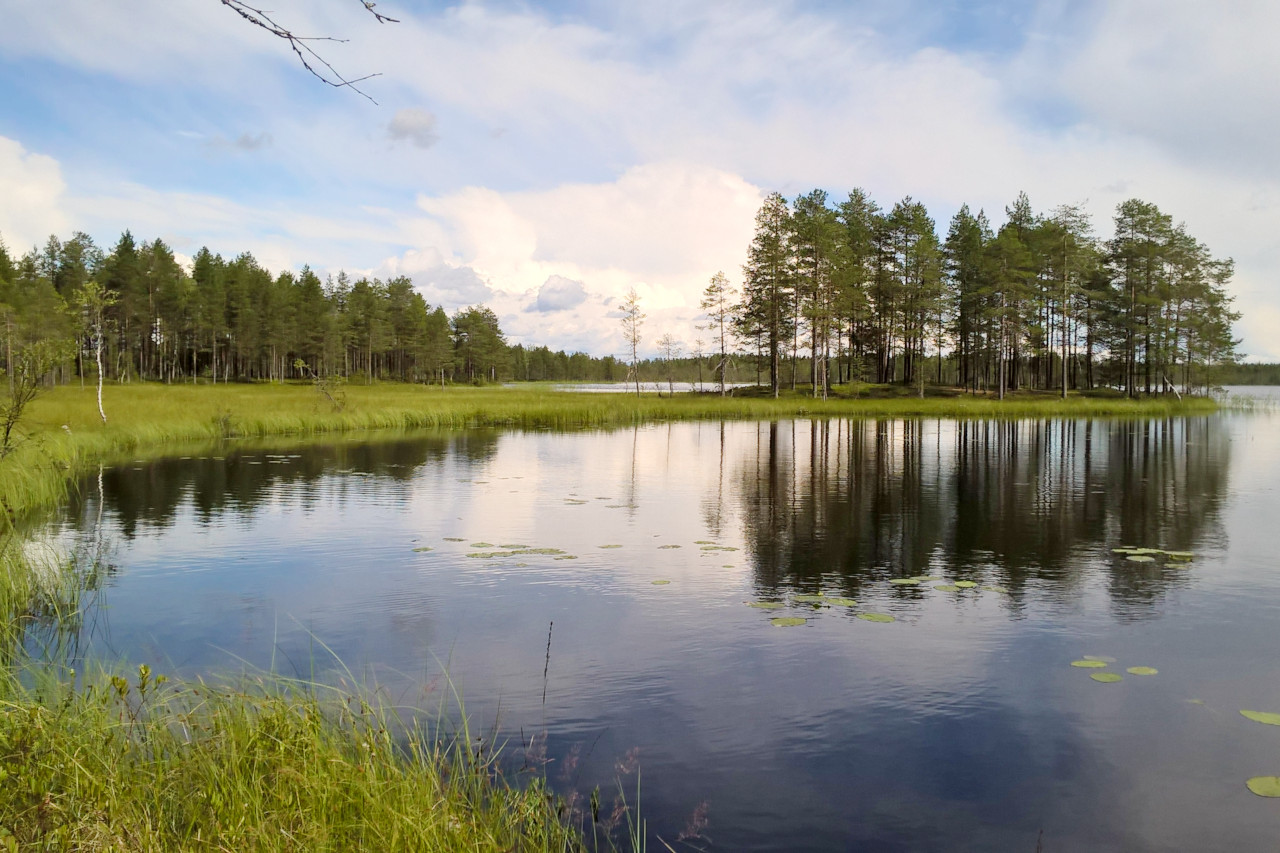
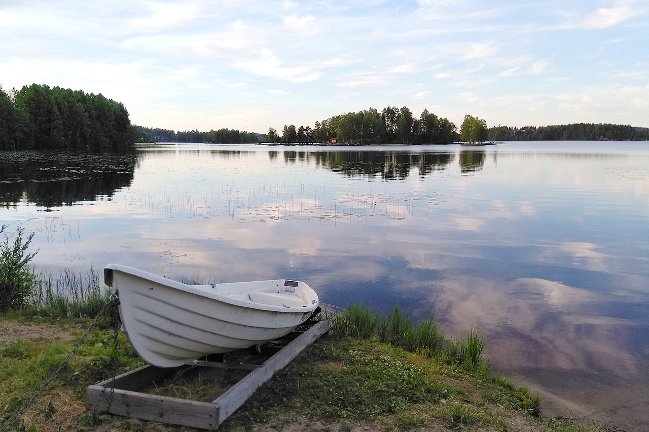
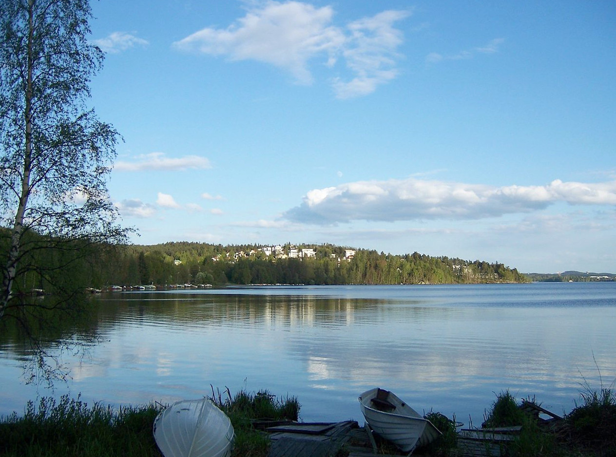
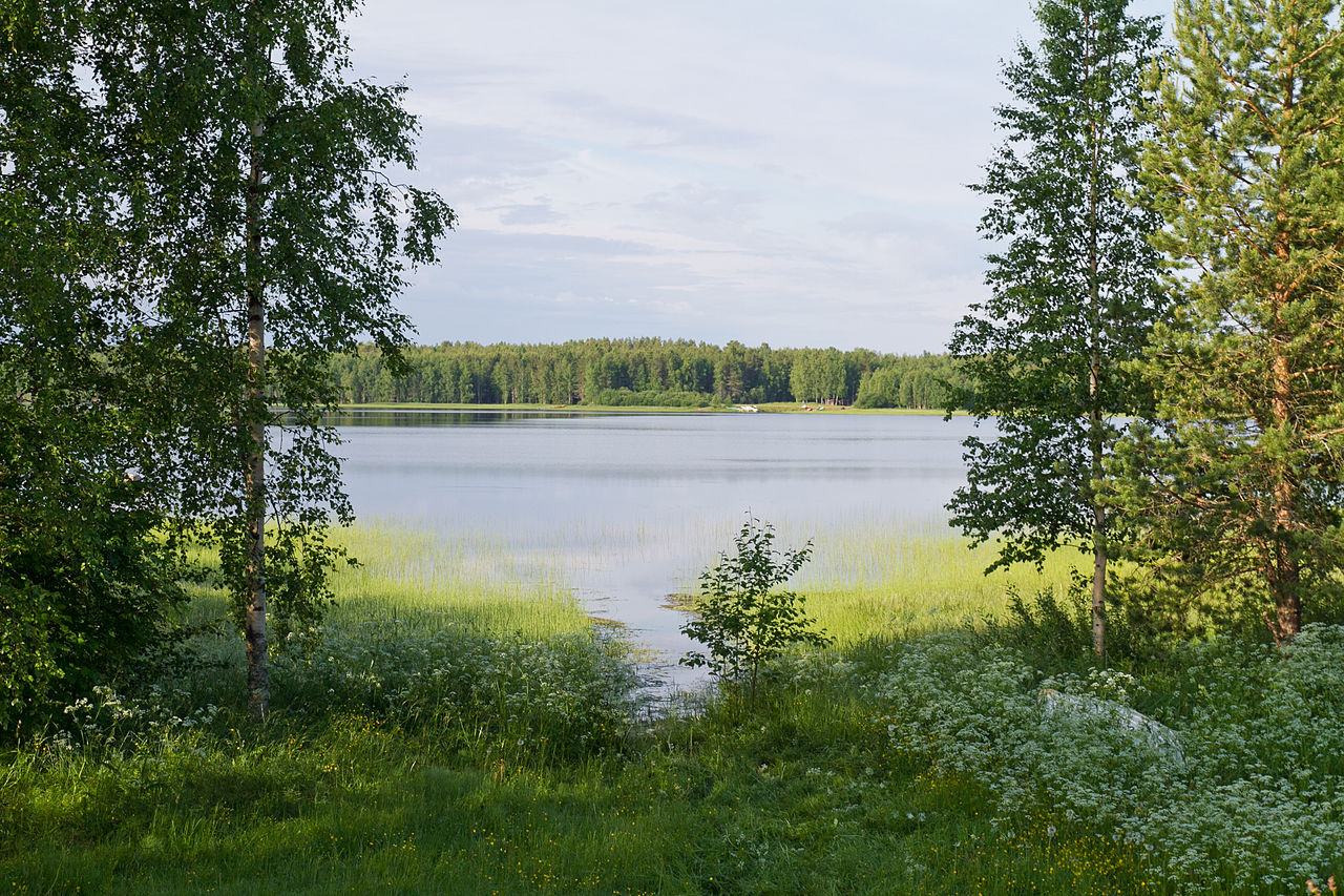
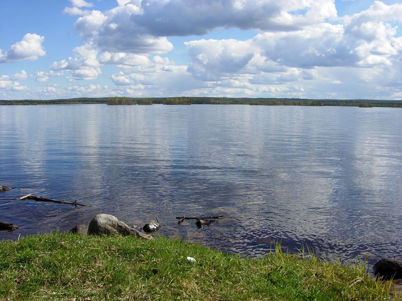
The Lakelands
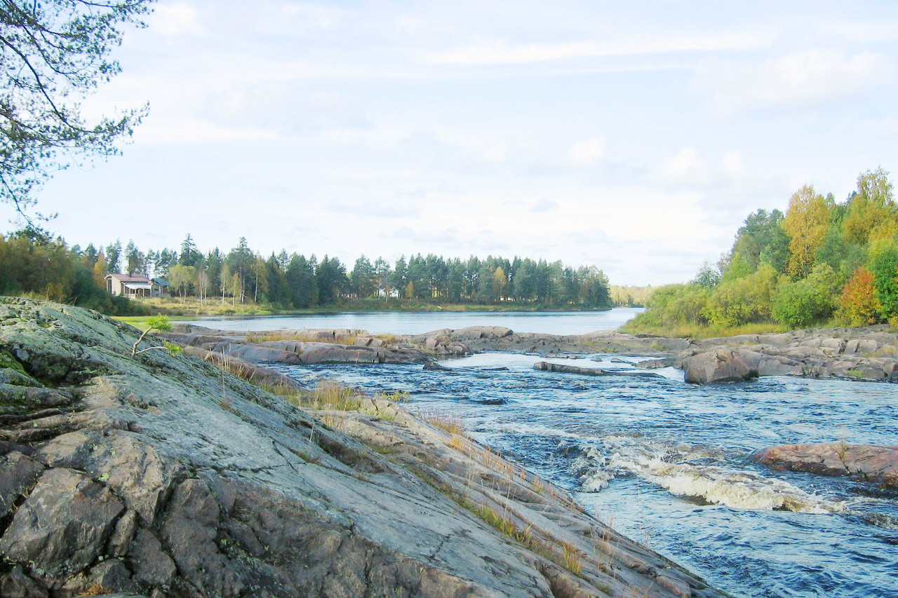
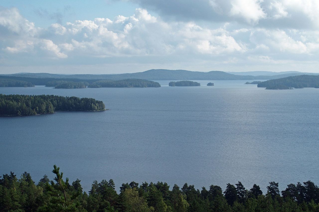
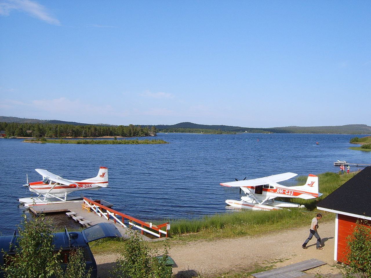
The chief fame of Finland is its myriads of lakes which spread like a network over a large proportion of the south and east. These lakes criss-cross a basin plateau shooting out their watery arms and branches in all directions. The scenery may be briefly described as forest, rock and water. Dark pine forests stand out sharply against the sky with silver birch here and there. This forest scenery combined with the water forms some of the loveliest landscape imaginable. Every lake forms a new combination of water, forest and rocky island.
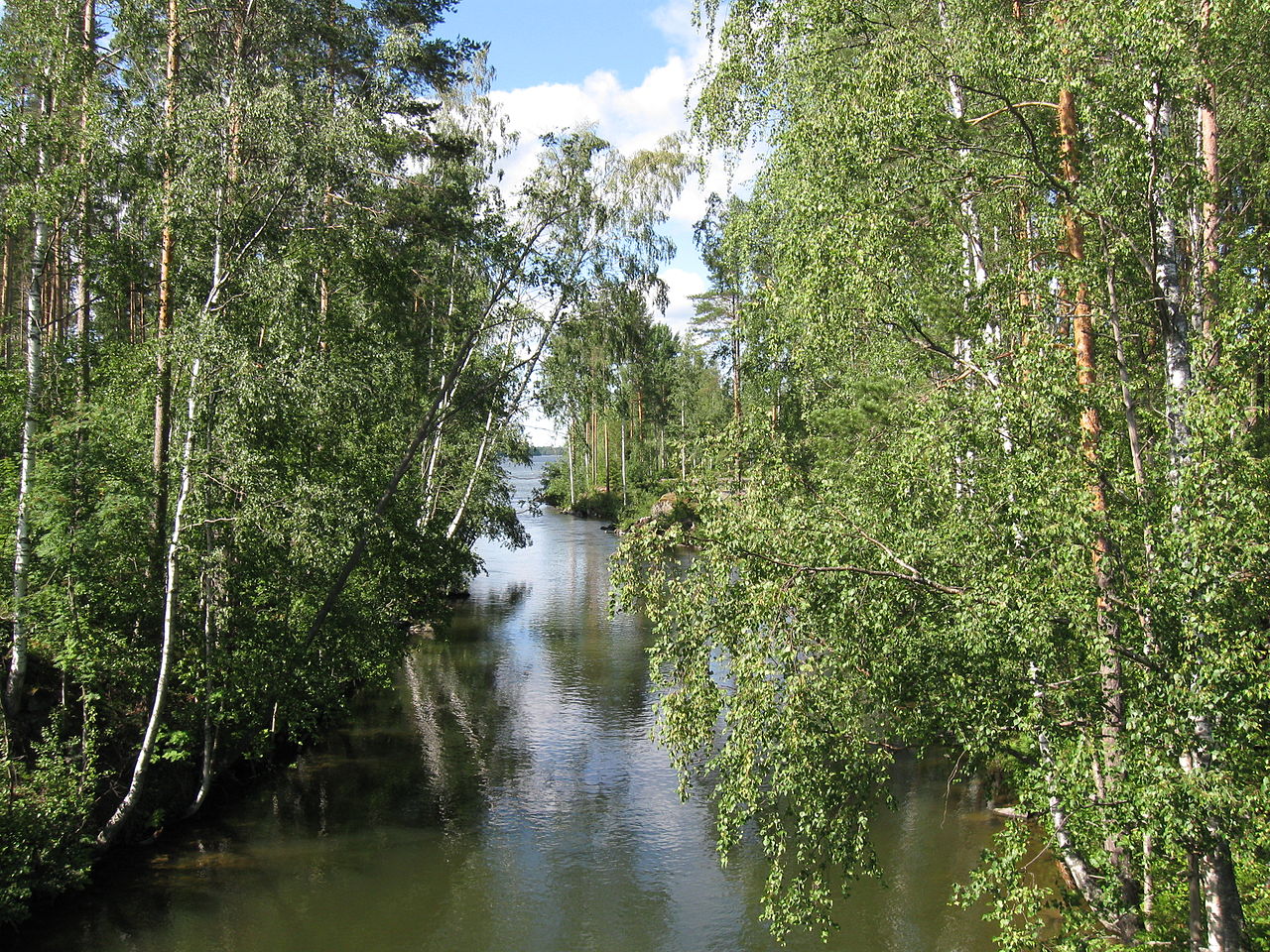
This labyrinth of lakes is connected by short and rapid rivers. You can travel for many days by boat into the very heart of the country, when for hours on end nothing but forest-grown shores and banks can be seen. Where there aren't lakes, there are innumerable swamps and bogs, all separated by hilly forested countryside. There are at least 55,000 lakes that are 200 or more meters (650 feet) wide. Most of them are very shallow, the depth of the average lake is 7 meters (23 feet), and the deepest lake has a depth of only 100 meters (330 feet).
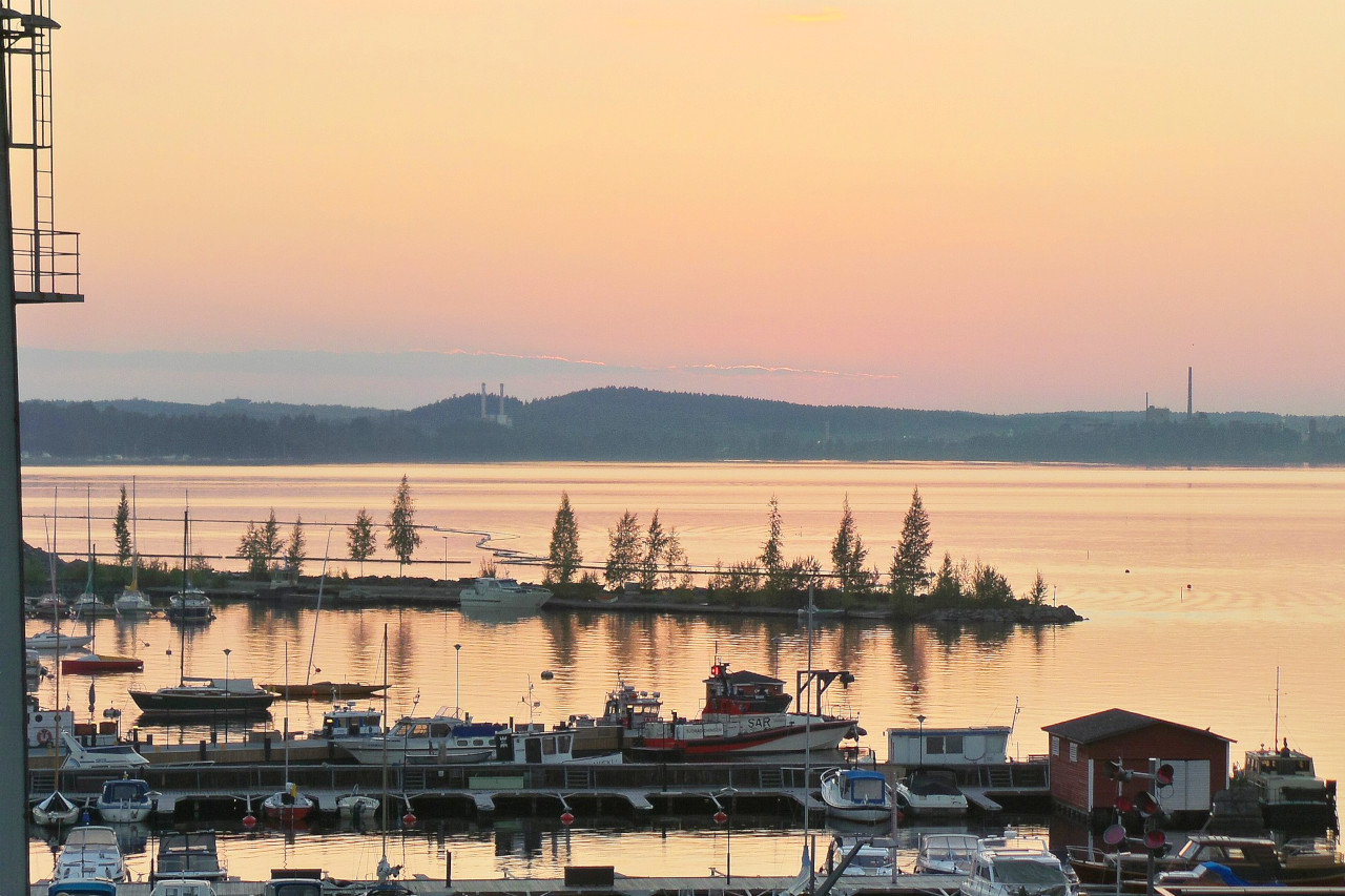
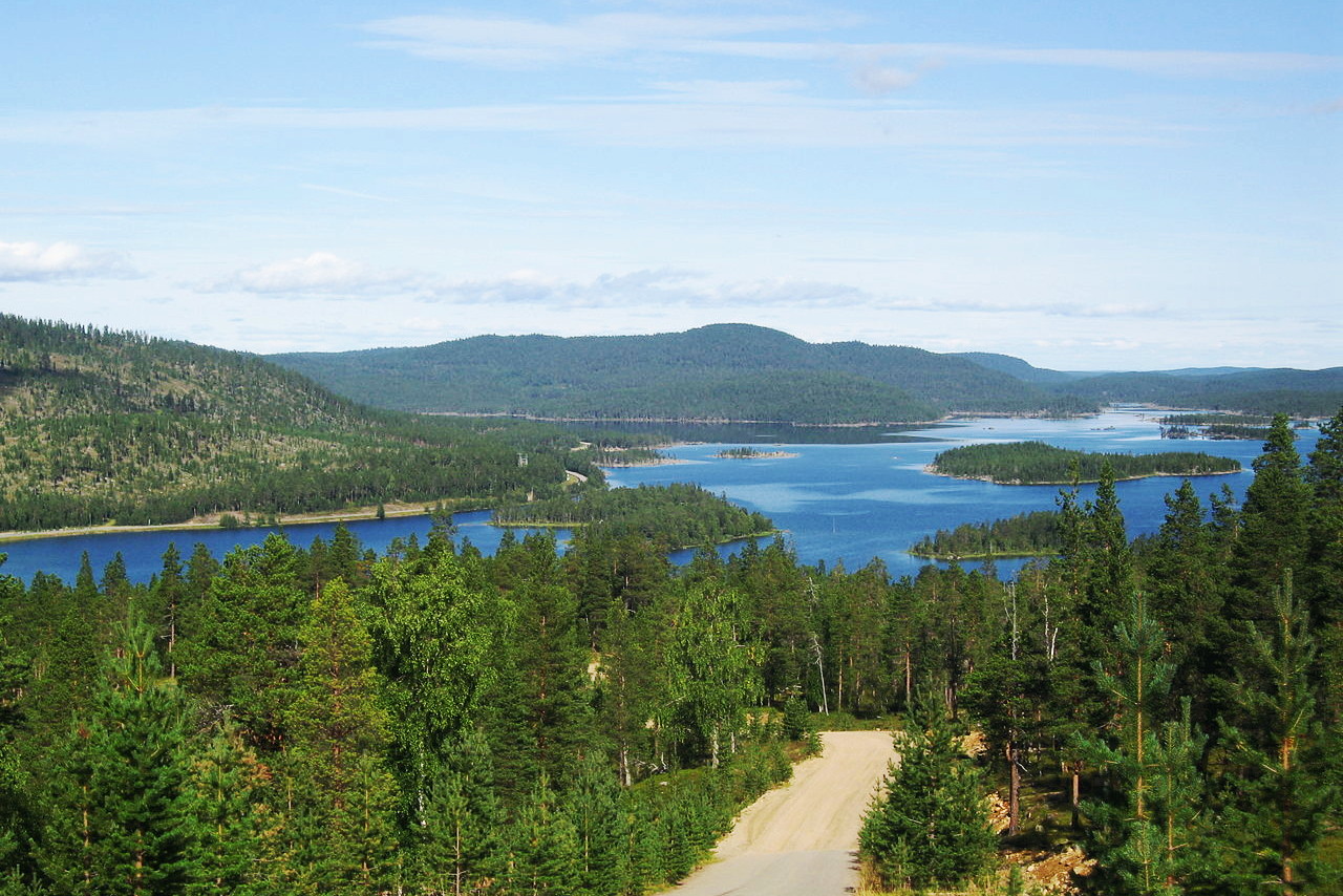
The largest is Lake Saimaa, about 180 miles long; it is the center of a vast system of waterways. In all Europe there is nothing to equal the Saimaa chain of lakes. Many of its branches have their own names, such as Puruvesi, Haukivesi and Orivesi, all interconnected by straits. Its waters are drained by the river Vuoksi to Lake Lagoga in Russia, the largest lake in Europe.
 Port of Lappeenranta
In the middle or southern basin is Lake Päijänne, surrounded by hundreds of smaller lakes, and the waters of which are discharged through the Kymi river into the Gulf of Finland.
The third of the great watercourses is Lake Näsijärvi north of Tampere, with numerous watersheds draining into it from the north, and including a number of lakes on the east and southeast of the town. All these waters unite at Lake Pyhäjärvi to form the third large river in the southern half of Finland, the Kokemäenjoki, and discharge their waters into the Gulf of Bothnia.
Center (Oulu)
The lands to the east and north of the lakes is frontier region, the slopes of the plateau which separates Finland from Russia. In the midst of this region is another vast lake, Oulujarvi, which separates the low-lying coastland from the plateau on the east. On its northeast side several hills rise to a height of over 300 meters (1,000 feet) and even the surfaces of the lakes are more than 150 metres above sea level. Exiting the Oulujarvi on the west side is the Oulujoki river which drains the beginning of this north country. This region is sparsely populated, instead the landscape is one of hill and forest, lake and swamp, and swift-running rivers.
North (Lapland)
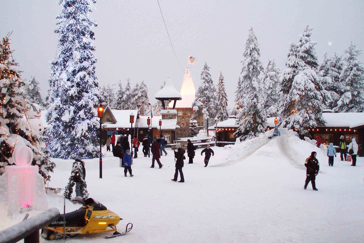
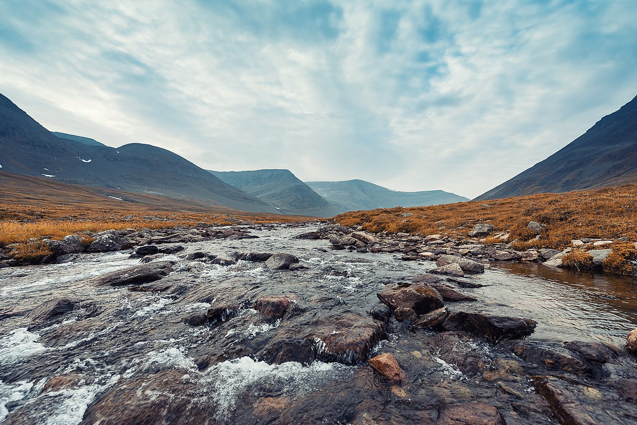
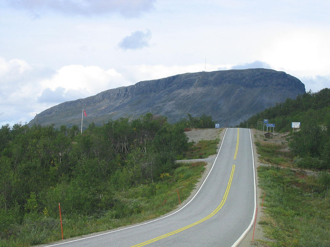
Northern Finland is Lapland. This is a large region, around thirty percent of the country, but containing less than five percent of the population. The hills are undulating, rarely rugged until you reach the far north, instead this is a region of thick forest, which above timber line yield to marshland and stony hills. Lapland has the country's largest and longest rivers: the Kemijoki and Tornionjoki, which enter the head of the Gulf of Bothnia. Lapland extends beyond the Arctic Circle, just north of the regional capital Rovaniemi. Here one can see the midnight sun on the summer solstice. There is a favourite spot for viewing the midnight sun at Aavasaksa Hill (222 metres) near the course of the river Tornionjoki.
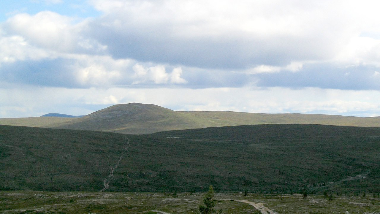
As you go northward from Rovaniemi, the mountains are infrequent, instead there are vast swamps and sandy moorlands. Out of this wide plain higher hills, single mountains or groups of mountain heights rise here and there. The high fells of Pallas-Yllästunturi National Park, some 100 kilometers in length, rise in west Lapland between the rivers Kemijoki and Tornionjoki. In the middle of this range is a group of beautiful fells, the Pallastunturi, the highest peak of which is Taivaskero, some 809 meters (2,654 feet) above sea level. There is a similar series of mountain caps and deep gorges in the northern continuation to this range, the Ounastunturi, the topmost summits of which attain 723 meters (2,372 feet) above sea level.
In the east lies the basin of Lake Inari, surrounded by low-lying hills and with clusters of islands on its surface. This lake is covered with ice for ten months in the year. Compact forest, mostly pine and birch, for the spruce has here been left behind, grows here. Further to the west a strip of heights continue their way along the Norwegian frontier, their southernmost group, the Muotkatunturit, almost 40 kilometres (25 miles) long, composed of hundreds of caps of which the tallest is 590 meters (1,940 feet) high. In the far north of Lapland the hills are more gently-sloping and the only trees are dwarf-birch. The ground here is furrowed by deeply-running streams and rivers.
The highest mountains in Finland are in the west in the so-called northwest elbow, which forms part of the mountain belt running across Scandinavia. Here there are several peaks of over 1,000 meters in height, the highest of them all, Halti 1,365 meters (4,478 feet) being part of a larger mountain which crosses the Norwegian frontier.
What is the nature of Finland like?
Finland is famous for its forests, many of which are part of the vast timber industry—millions of trees being cut and replanted every year. The chief forest trees of Finland are the Scots pine (Pinus sylvestris) and the Norway spruce (Picea abies). Birch grows everywhere in Finland, except in northern Lapland, and is especially common in Central Finland around Lake Päijänne. Common trees met in the south of the country are the alder, oak, and aspen.
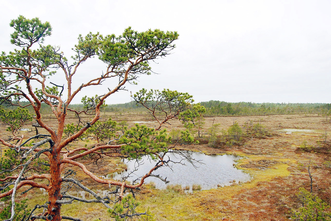
The other great vegetation of Finland are the bogs and fens, covering something like one-third of the country. These bogs form wherever there is level land surface, and often result from the large amounts of surface water freed by the spring thaw. In forested districts these bogs will often have pine, spruce or birch trees covering shrubs, sedges, mosses and ferns. Elsewhere there are open treeless fens of sphagnum and sedges on a thick layer of peat.
What is the climate of Finland like?
See our main article: The Climate of Finland
.jpg&oldid=357621106)
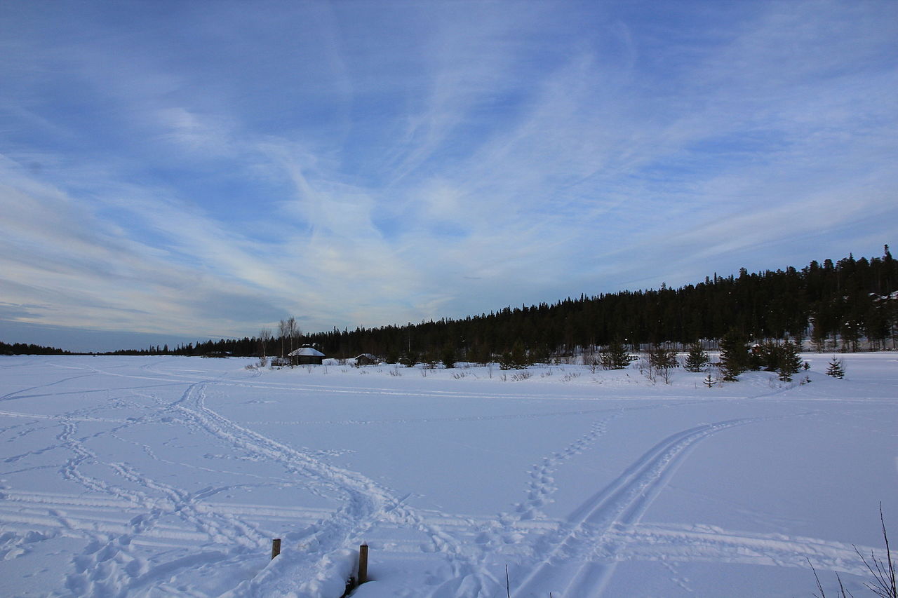
Finland has as short sharp summer and a long severe winter only tempered by the moderating influence of the North Atlantic to the west. Winter lasts for about eight months in the north and five in the south. Most years the gulfs of Finland and Bothnia freeze, making icebreakers necessary for shipping. Temperatures of -30°C (-22°F) are often seen, and the inland lakes all freeze. During the short summer, while the sun is almost constantly above the horizon, the heat is often very great. Long days in summer permit farming far to north.
In the north the sun is absent during December and January; but opposite is true during the summer months—at Helsinki the longest day is of about 18½ hours, while in the far north the summer sun does not set for two or three months. At midsummer bonfires are lighted on the shores of the lakes and the entire population stays up for this, the longest day of the year, spending the whole night dancing and singing.
| Climate data for Helsinki (1991–2020) | |||||||||||||
|---|---|---|---|---|---|---|---|---|---|---|---|---|---|
| Month | Jan | Feb | Mar | Apr | May | Jun | Jul | Aug | Sep | Oct | Nov | Dec | Year |
| Average high °C (°F) | −0.7 (30.7) | −1.3 (29.7) | 2.3 (36.1) | 8.1 (46.6) | 14.6 (58.3) | 18.8 (65.8) | 21.9 (71.4) | 20.5 (68.9) | 15.4 (59.7) | 9.2 (48.6) | 4.4 (39.9) | 1.4 (34.5) | 9.6 (49.3) |
| Daily mean °C (°F) | −3.1 (26.4) | −3.8 (25.2) | −0.7 (30.7) | 4.4 (39.9) | 10.4 (50.7) | 14.9 (58.8) | 18.1 (64.6) | 16.9 (62.4) | 12.3 (54.1) | 6.6 (43.9) | 2.4 (36.3) | −0.7 (30.7) | 6.5 (43.7) |
| Average low °C (°F) | −5.6 (21.9) | −6.3 (20.7) | −3.6 (25.5) | 1.1 (34.0) | 6.4 (43.5) | 11.2 (52.2) | 14.5 (58.1) | 13.5 (56.3) | 9.3 (48.7) | 4.2 (39.6) | 0.4 (32.7) | −2.9 (26.8) | 3.5 (38.3) |
| Average precipitation mm (inches) | 53 (2.1) | 38 (1.5) | 34 (1.3) | 34 (1.3) | 38 (1.5) | 60 (2.4) | 57 (2.2) | 81 (3.2) | 56 (2.2) | 73 (2.9) | 69 (2.7) | 58 (2.3) | 653 (25.7) |
| Average snowfall cm (inches) | 12 (4.7) | 17 (6.7) | 8 (3.1) | 0 (0) | 0 (0) | 0 (0) | 0 (0) | 0 (0) | 0 (0) | 0 (0) | 0 (0) | 1 (0.4) | 38 (15) |
| Source: Ilmatieteen Laitos | |||||||||||||
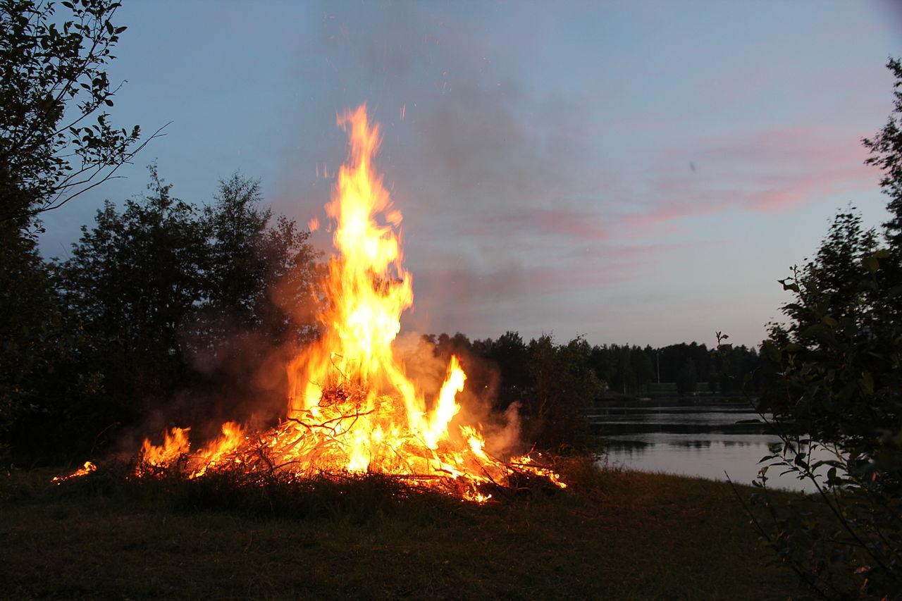 Midsummer bonfire on the shore of Vuoksi river
The official websites
Finland
Land of a Thousand Lakes
| Location: | Northern Europe, bordering the Baltic Sea, Gulf of Bothnia, and Gulf of Finland, between Sweden and Russia |
| Coordinates: | 64° 00′ N, 26° 00′ E |
| Size: | • 1,160 km N-S; 540 km E-W • 720 miles N-S; 335 miles E-W |
| Terrain: | Mostly low, flat to rolling plains interspersed with lakes and low hills |
| Climate: | Cold temperate; potentially subarctic but comparatively mild because of moderating influence of the North Atlantic Current, Baltic Sea, and more than 60,000 lakes |
| Highest point: | Halti 1,365 m / 4,478 ft |
| Forest: | 72.9% (2011 est.) |
| Population: | 5,571,665 (July 2020 est.) |
| Population density: | Low (16/km²) |
| Capital: | Helsinki |
| Languages: | Finnish (official) 87.6%, Swedish (official) 5.2%, Russian 1.4%, other 5.8% (2018 est.) |
| Human Development Index: | Very high (0.938) |
| Currency: | Euro |