The Geography of
Norway
Why visit Norway?
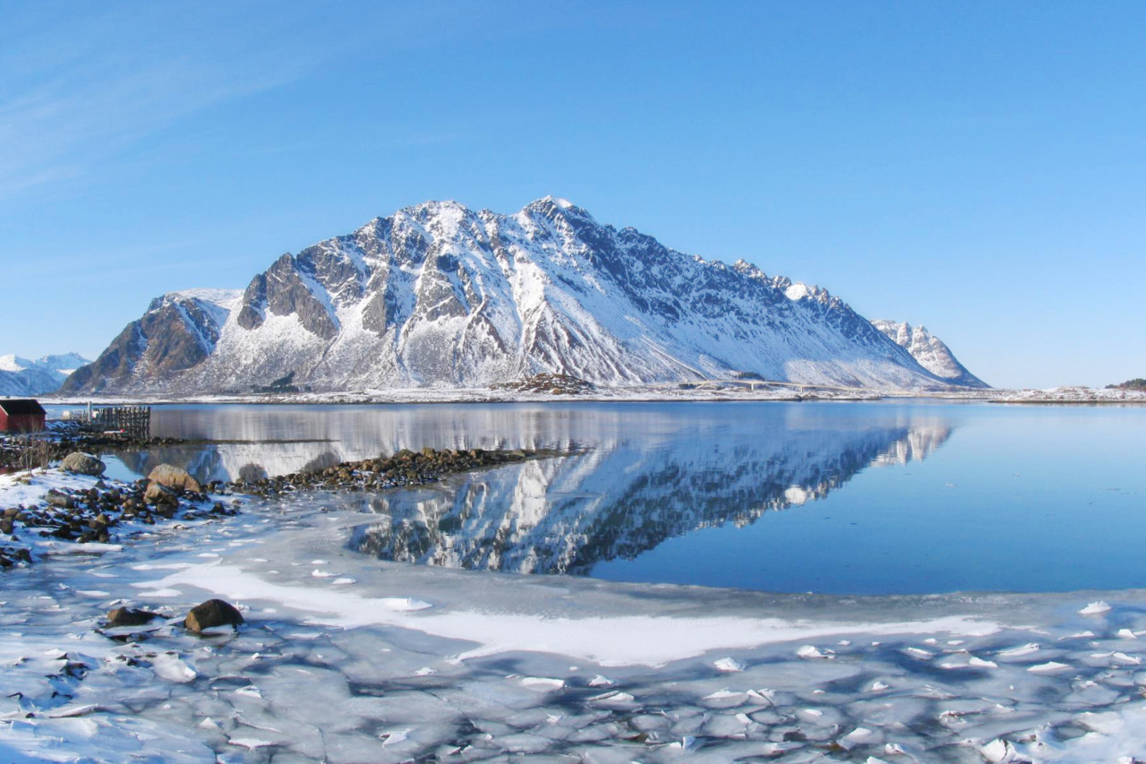
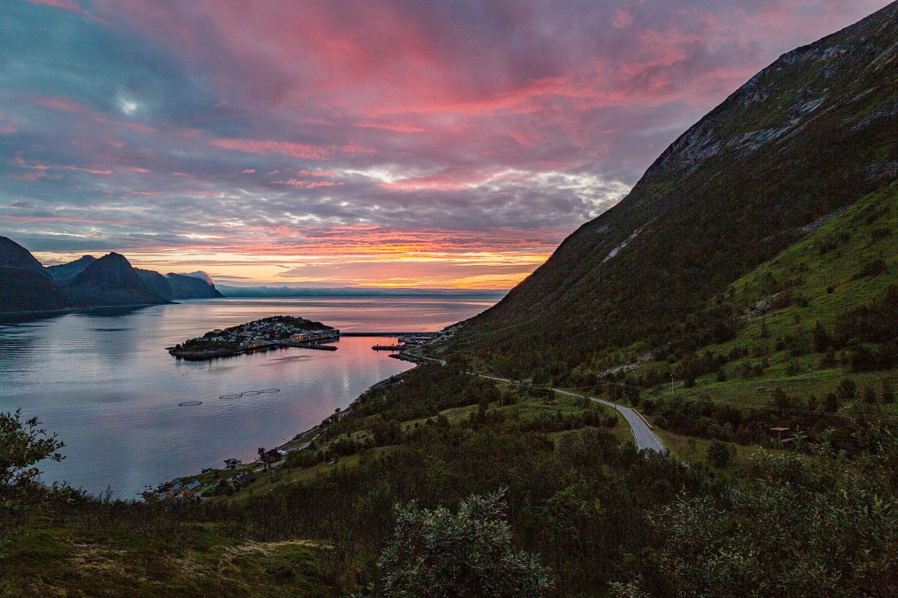
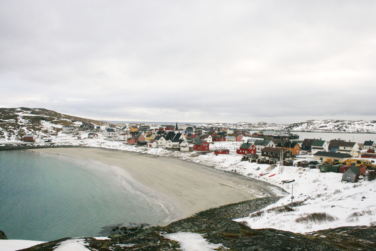
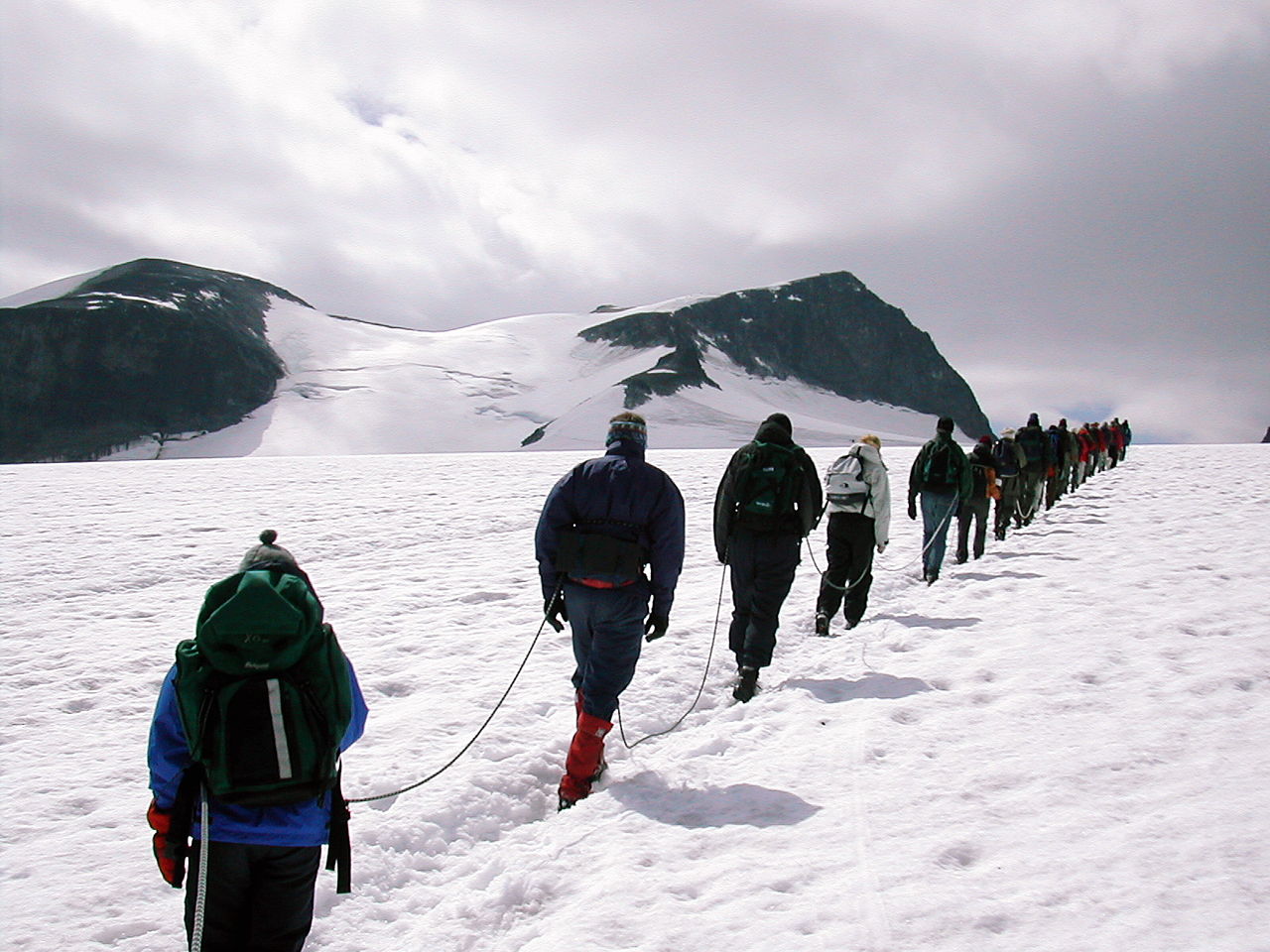
Norway is a country filled with natural beauty. From its crisp, clear lakes to the rugged, snow-capped peaks, there is so much to see and do in this beautiful country. The many different landscapes provide a perfect backdrop. When you arrive in Norway, the first thing you'll notice is the dramatic landscape. From the coast to the mountains, the scenery is stunning. The Norwegian fjords contain some of the most magnificent scenery in the world. Steep cliffs drop dramatically into clear blue waters. Fjords open on to islands and more islands. In the south are clusters of white-painted fishermen’s houses; in the north, long treeless stretches where the Lapps bring their reindeer herds to graze.
Contents
Map
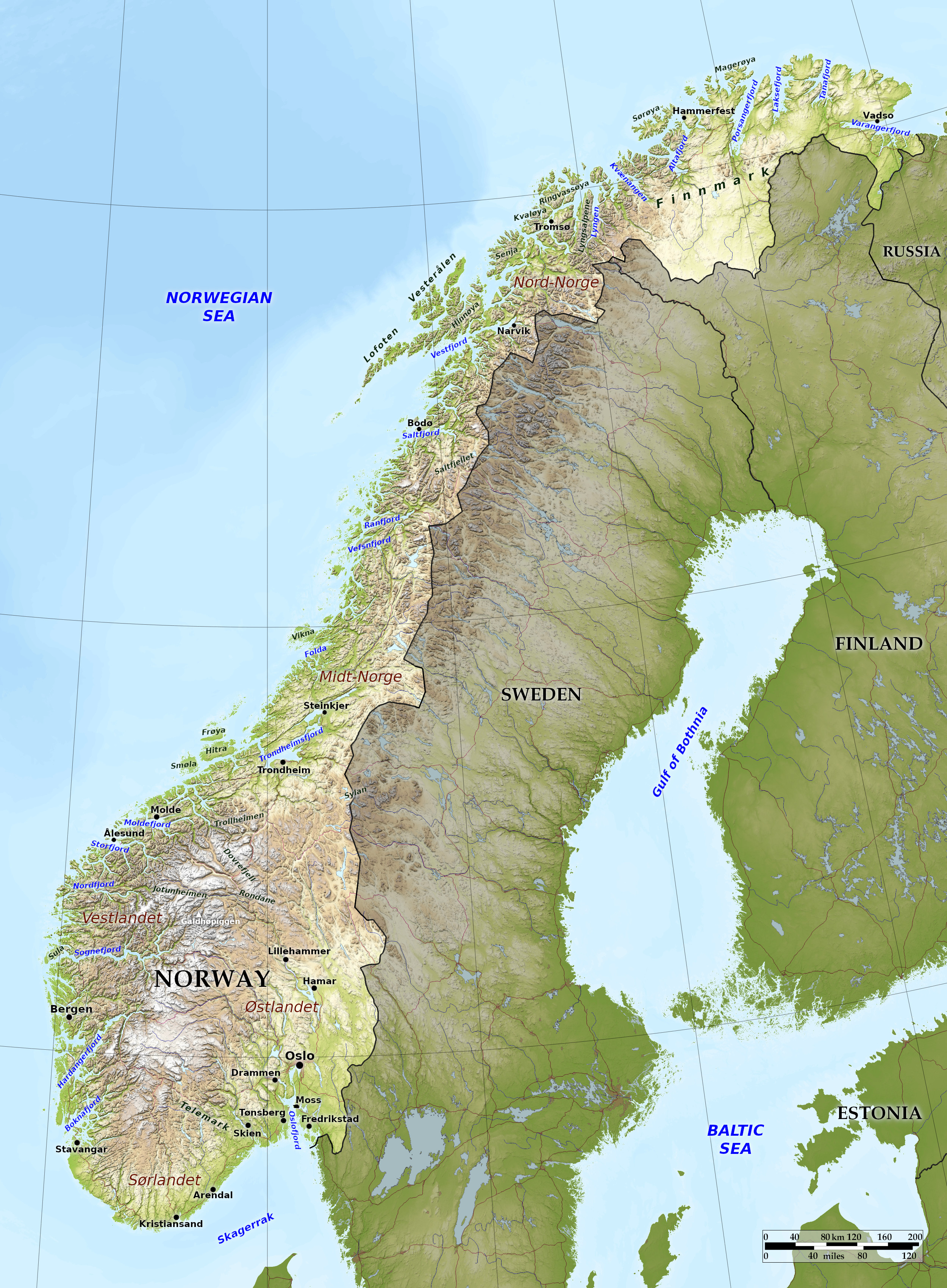 Relief map of Norway
What is the landscape of Norway like?
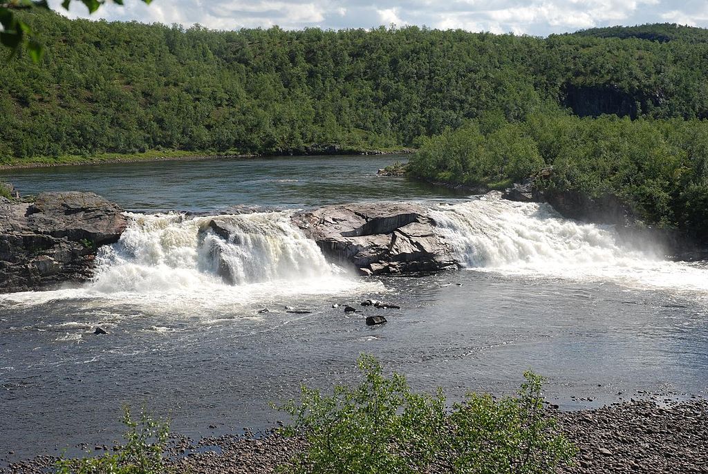
Norway is remarkable both for the innumerable islands on its coasts, and the bays or fjords which cut deeply into it in all directions. Inland districts are very mountainous, and often form great plateaux or table-lands, called fjells. Immense glaciers are found in the great mountain barrier, and countless rivers run short and rapid courses to the sea.
East and South Lands
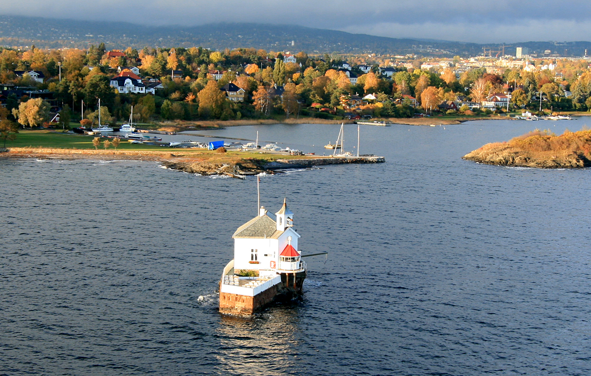
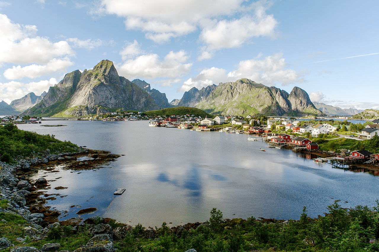
Southeast Norway is the least mountainous and most populated part of the country, and this region resembles the hilly districts of Sweden. There are long valleys carrying large rivers flowing roughly parallel but sometimes uniting as they approach the sea. The main fjord is Oslofjord which opens out onto the Skagerrak, a strait running between the southeast coast of Norway and the Jutland peninsula of Denmark. Oslofjord differs from the great fjords of the west in being shallower and without the steep cliffs on its shores. It contains a great number of little islands. As you head out from its mouth round the south coast there are many little fjords around the coast to Stavanger.
The largest river in Norway is the Glomma, which flows into the Oslofjord at Fredrikstad. The upper middle valley of the Glomma is one of the most richly wooded districts in Norway. Seven miles above its mouth it forms the fine Sarp Falls (Sarpefossen), which has one of the greatest flows of any waterfall in Europe. Not far above this it traverses the large lake Øyeren. The largest lake however is Mjøsa, on the shores of which are the cities of Hamar, Gjøvik, and Lillehammer. The Mjøsa is the largest lake in Norway; it is 60 miles long, but like most of the greater Norwegian lakes, is relatively narrow, from 1 to 12 miles broad. It has however an average depth of 153 meters making it one of the deepest lakes in Norway and in Europe.
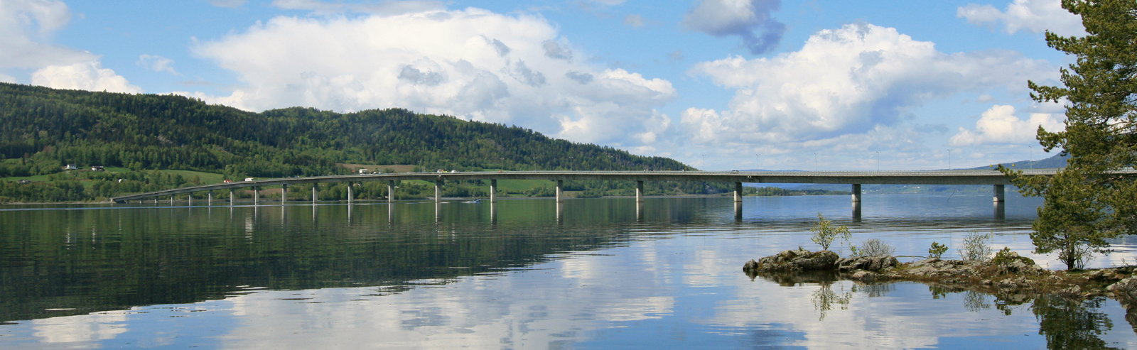 Mjøsbrua bridge over Mjøsa
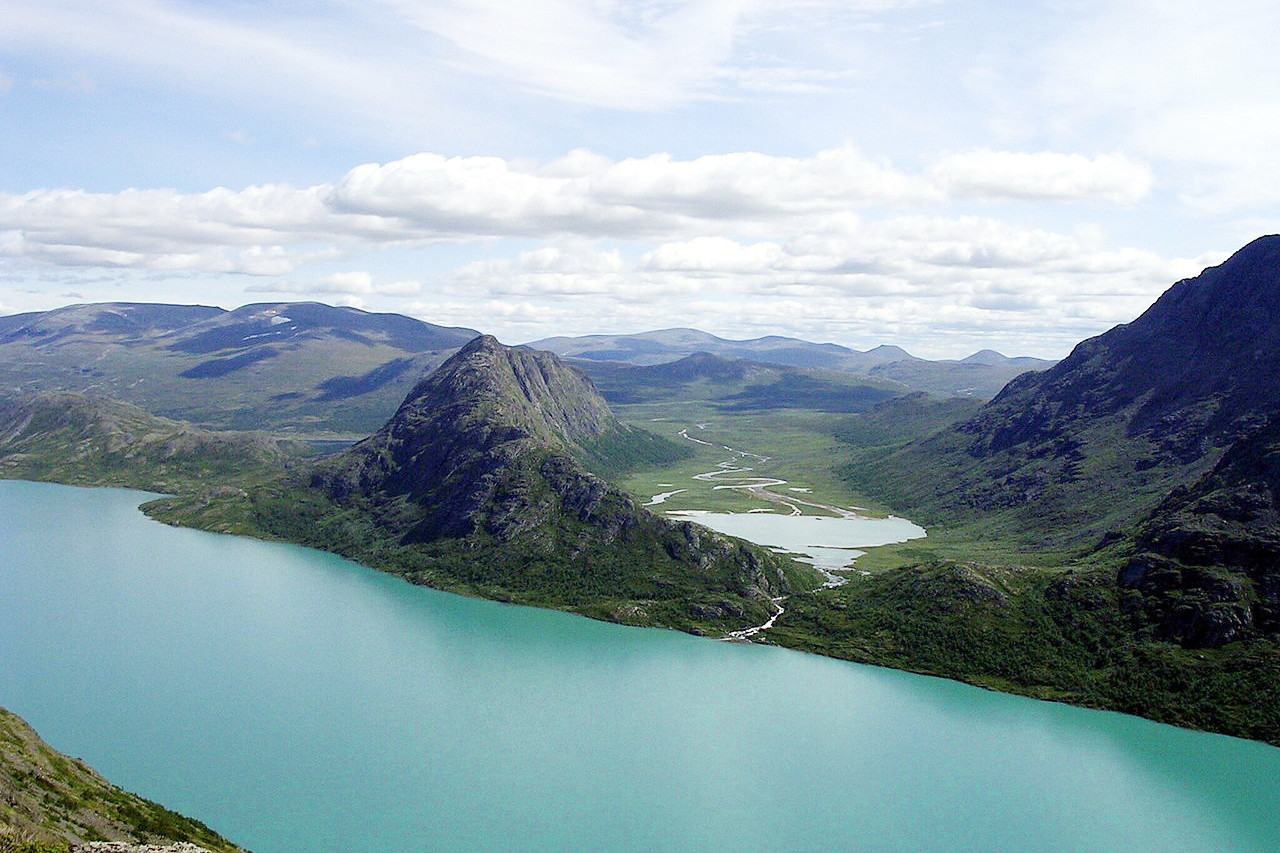
The mountains in this region of Norway are a high broad plateau, but one which is grooved by deep valleys with occasional sharp peaks which tower above the average level. The highest mountain range (fjell) is Jotunheim, a sparsely populated district containing the highest mountain in Scandinavia, Galdhøpiggen, reaching 2,469 meters (8,100 feet). To the northeast of Jotunheim is the Dovrefjell mountain range. Southeast of the Dovre is another fjell, Rondane, in which Rondeslottet rises to 2,178 meters (7,146 feet).
West Land
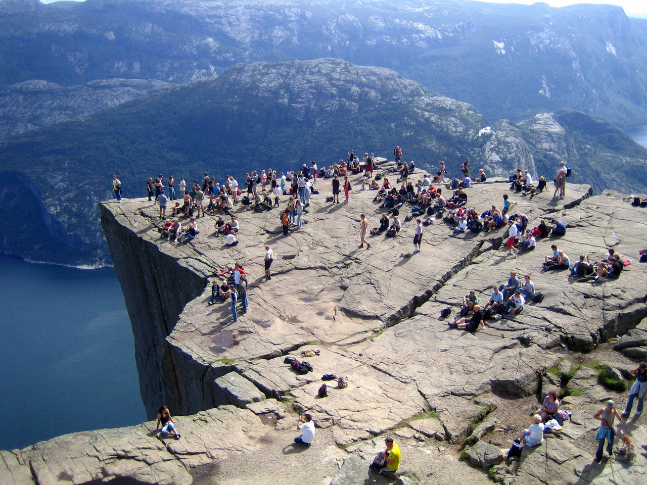
The west region is the land of the fjords, the upper parts of which are dark narrow lanes of water with wooded precipices rising from their edges and cataracts and torrents pouring into them. The first major fjord reached on the southwest coast is Boknafjord. It is a broad and island-studded fjord which throws off several inner arms, of which Lysefjord, near Stavanger, is remarkable for its extreme narrowness and the steepness of its lofty shores. Immediately south of Boknafjord the flat open coast fringes a narrow lowland abundant in peat-bogs for some 30 miles.

Next is Hardangerfjord which penetrates inland for 114 miles. In Hardangervidda (Hardanger Plateau) east of Hardangerfjord, there is a broad wild upland which reaches a height of 1,721 meters (5,646 feet). This is barren, treeless moorland noted for its cold year-round alpine climate, and for possessing one of Norway's largest glaciers, Hardangerjøkulen.
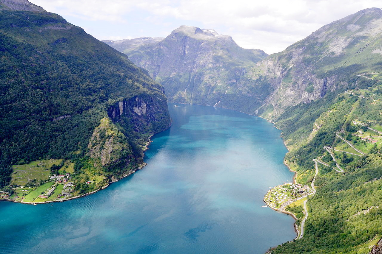
The beauty of Hardangerfjord is exceeded by that of Sognefjord and Nordfjord farther north. Sogne is the largest and deepest fjord of all; its head is 205 kilometres (127 miles) from the sea, and its extreme depth reaches 1,308 metres (4,291 feet). Hornelen mountain, near the mouth of Nordfjord, 860 meters (2,820 feet) feet high, rises nearly sheer above the Frøysjøen strait, and ships pass close under the towering cliff. Storfjord, a 110-kilometre (68 mile) long fjord, opens inland from Ålesund, and one of its head branches, Geirangerfjord, is among the most celebrated in Norway.
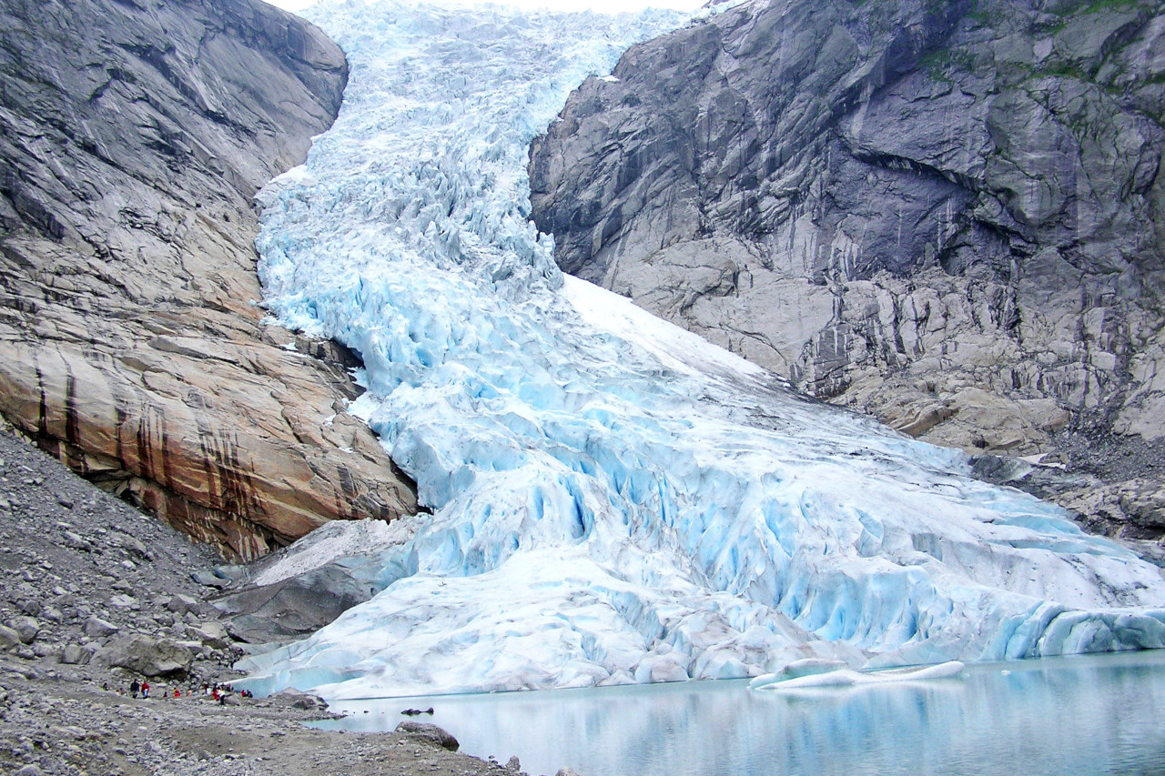
On the seaward side of Jotunheim is Jostedalsbreen, the largest glacier in continental Europe. Several branches of this glacier fall nearly to the sea, as for example the Bøyabreen above the Fjærland branch of the Sognefjord, and the Briksdalsbreen at the end of the Oldedalen valley.
Mid Norway
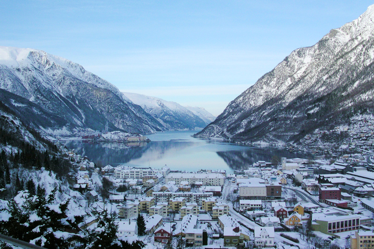
Trondheim is the point at which Norway narrows as you journey north. This region is the so-called Trondhiem plateau which is well marked right across the central upland, the height of the mountains here rarely exceeding 1,200 meters (4,000 feet). Trondhiemfjord is the next great fjord northward. It broadens inland from a narrow entrance, but without the high mountains it lacks some of the grandeur of the southerly fjords. The other fjords in this region are not so extensive, and the coast, though far from losing its beauty, lacks the grandeur of that to the south. The other main fjords are those of Namsenfjord and Folda.
 Trondheimsfjord
North Norway
As one heads north we encounter Vefsnfjord, at the mouth of which is Alsta island with the mountains called Sju søstre (Seven Sisters), and Ranfjord not far south of the Arctic circle. A little further north of Ranfjord is the pair of glaciers known as Svartisen which send ice nearly down to sea-level, and the scenery from here on increases in magnificence. Saltfjord, to the north of the glacier, is connected with Skjerstad Fjord by three narrow channels where the tides form powerful rapids known as the Moskstraumen.
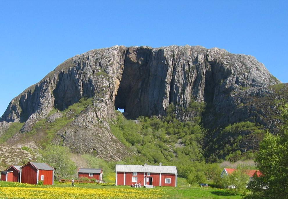
The scenery north of Salten is unsurpassed. Torghatten, a granite mountain on the island of Torget, is pierced through by a vast natural tunnel 120 meters (400 feet) above the sea. The Lofoten and Vesterålen islands are separated from the mainland by the Vestfjord, which is continued inland by Ofotfjord. If these two be considered as one fjord, its length is about 175 miles, although most of it's length is a great sea channel. From the innermost creek of Ofotfjord the distance to the Swedish frontier is only 6 miles.
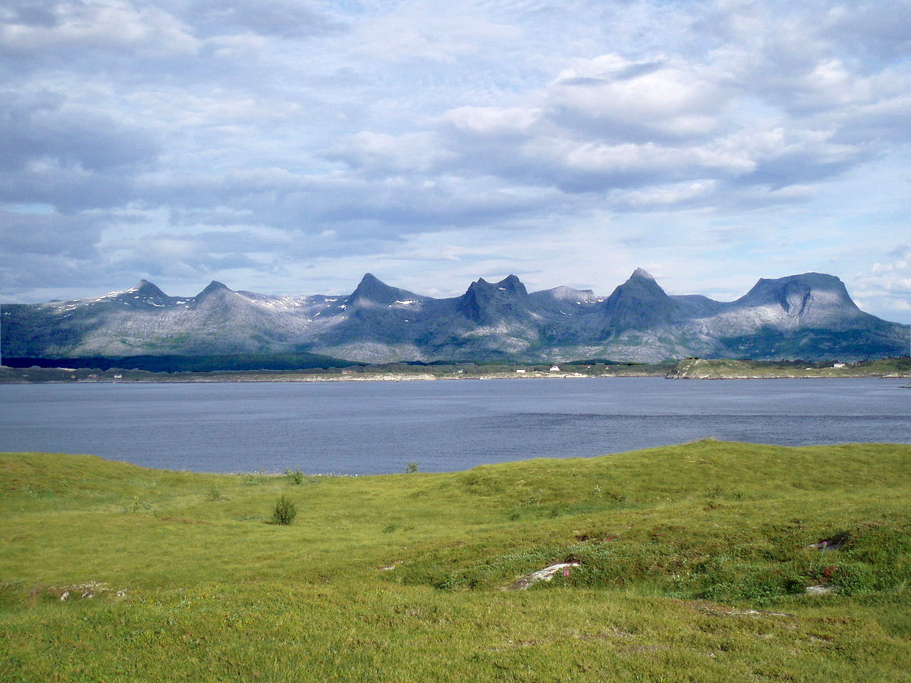
The Lofotens consist of a chain of islands separated from each other by broader and narrower channels. The mountains on the outermost group are not particularly high—indeed the principal island, Røst, is remarkably low; but otherwise the islands exhibit a chain of granite peaks to be counted in hundreds, strangely characteristic with their jagged, fantastic outlines, and towering to a height of from 600 to 1,000 meters (2,000 to 3,500 feet) above the level of the sea. This truly alpine scenery is even more imposing because it rises directly from the sea. The Lofotens are connected on the north side with the Vesterålen islands, which, in their southern parts, fully equal the Lofotens in grandeur. Within these groups of islands lies Hinnøya—the largest island in Norway (excluding the Svalbard archipelago), with the lofty peak, Møysalen.
Here on we round the coast towards the region known as Finnmark, and the fjords have a general northerly direction. Among them is Lyngenfjord near Tromsø, with high flanking cliffs and glaciers falling nearly to the sea. Then there is Kvænangen fjord with the grand scenery of the Kvænang peaks. One glacier, Øksfjordjøkelen, actually reaches the edge of the fjord so that detached fragments of ice float away on the water. This is the only instance of the kind in mainland Europe. Another fjord, Altafjord, is remarkable for its prehistoric rock carvings.
There is a chain of larger islands on the entire northwest coast, Senja, Kvaløya, Ringvassøya, Sørøya, Stjernøya, Seiland, Ingøya and Magerøya. These islands are very rocky and mountainous, with peaks over 1,000 meters (3,300 feet), generally covered with snow and ice. Among them many isolated rocks like cones rise out of the sea inhabited by millions of sea birds. Senja is the second largest island in Norway; whereas on Kvaløya is Hammerfest, a city with a population of 8,000 people. On Magerøya is the North Cape, the most northerly point of the continent of Europe, with cliffs 90 meters (300 feet) high.
The coast to the east of Magerøya island is of a very different character. Flat mountain slopes descend to the sea with an absence of any large islands. The fjords along this coast are very broad. The chief are Porsangerfjord, Laksefjord and Tanafjord, all opening north, and Varangerfjord opening east. North of Varangerfjord the land is low-lying; on the south side a few small islands and branch fjords break the shoreline.
What is the nature of Norway like?
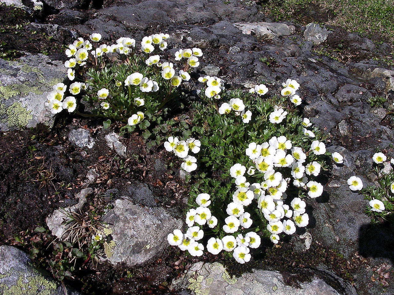
Norway is famous for its magnificent pine forests. In western parts the trees are mostly Scots pine, but in the east and south there are extensive forests of both pine and Norway spruce. In the south and some low-lying districts there are deciduous forests of ash, lime, oak, and alder. At high altitudes the upper limit for pine and fir trees is from 750 to 1,000 meters (2,500 to 3,300 feet) above sea-level in the south of the country, but this limit falls to just 200 meters (700 feet) in the far north. Above the conifers grow the birch trees, and the highest altitude trees are various species of willows and the dwarf birch (Betula nana). Alpine plants grow on the high plateaus; the snow buttercup (Ranunculus nivalis), glacier buttercup (Ranunculus glacialis), and the Alpine heather are abundant, and the reindeer lichen (Cladonia rangiferina) is always conspicuous. Numerous wild berries—cranberries, raspberries, bilberries and cloudberries are found in summer.
What is the climate of Norway like?
See our main article: The Climate of Norway
.jpg&oldid=334395328)
.jpg&oldid=255127375)
.jpg&oldid=334347780)
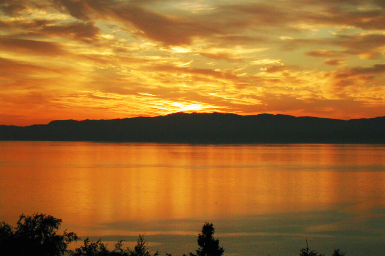
The Atlantic Ocean, and particularly the influence of the Gulf Stream, keeps Norway warmer than might be expected, and temperatures are milder than at any other comparable latitude on Earth. Many of the western and northern fjords are rarely or never frozen, even while those on the south are filled with winter ice. Winters are mildest in southwest Norway where the coldest month, February, averages about 2°C (35°F). The coldest temperatures are recorded in Finnmark in the far north, -15°C (4°F) being typical during December, January and February. In Finnmark the winters are long, and the temperture can stay below freezing for nearly eight months of the year. Snowfall occurs across the country in winter, being least frequent in the south, with 50 snowy days in Oslo; this increases to 100 at the North Cape. The summer is hottest in southeast Norway (Oslo, July, 17°C, 62.5°F) and temperatures can sometimes exceed 30°C (85°F). Even in the far north there is always a short, sharp summer and daytime temperatures can reached 30°C even here.
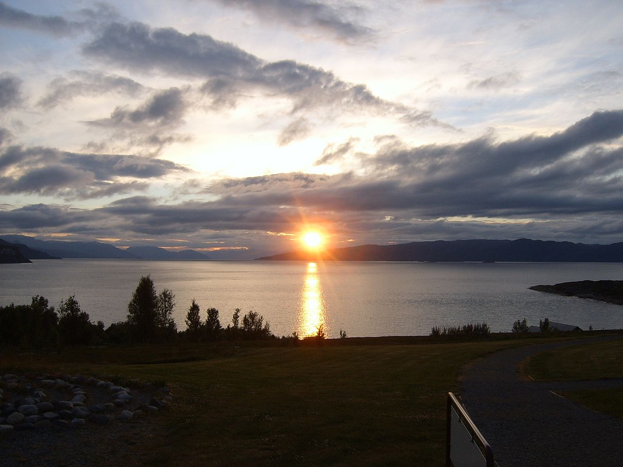
The sun is above the horizon at the North Cape continuously from the 12th of May to the 29th of July. Even in the extreme south of Norway, although the sun sets, the night does not get very dark in the summer months. In winter, on the other hand, the sun does not rise above the horizon at the North Cape from the 18th of November to the 23rd of January and there is only a twilight at midday. In the extreme south the sun is above the horizon for 6½ hours at mid-winter.
| Climate data for Oslo (1981–2010) | |||||||||||||
|---|---|---|---|---|---|---|---|---|---|---|---|---|---|
| Month | Jan | Feb | Mar | Apr | May | Jun | Jul | Aug | Sep | Oct | Nov | Dec | Year |
| Average high °C (°F) | −0.4 (31.3) | 0.5 (32.9) | 4.4 (39.9) | 10.1 (50.2) | 16.5 (61.7) | 20.0 (68.0) | 22.3 (72.1) | 20.9 (69.6) | 15.7 (60.3) | 9.4 (48.9) | 3.9 (39.0) | 0.0 (32.0) | 10.3 (50.5) |
| Daily mean °C (°F) | −2.9 (26.8) | −2.4 (27.7) | 1.0 (33.8) | 5.9 (42.6) | 11.6 (52.9) | 15.3 (59.5) | 17.7 (63.9) | 16.6 (61.9) | 11.9 (53.4) | 6.6 (43.9) | 1.6 (34.9) | −2.3 (27.9) | 6.8 (44.2) |
| Average low °C (°F) | −5.3 (22.5) | −5.3 (22.5) | −2.4 (27.7) | 1.7 (35.1) | 6.7 (44.1) | 10.5 (50.9) | 13.0 (55.4) | 12.2 (54.0) | 8.0 (46.4) | 3.8 (38.8) | −0.6 (30.9) | −4.7 (23.5) | 3.2 (37.8) |
| Average precipitation mm (inches) | 54.9 (2.16) | 41.0 (1.61) | 50.4 (1.98) | 46.9 (1.85) | 54.1 (2.13) | 70.5 (2.78) | 84.7 (3.33) | 97.8 (3.85) | 80.6 (3.17) | 90.4 (3.56) | 79.1 (3.11) | 52.4 (2.06) | 802.7 (31.60) |
| Source: Météo Climat | |||||||||||||
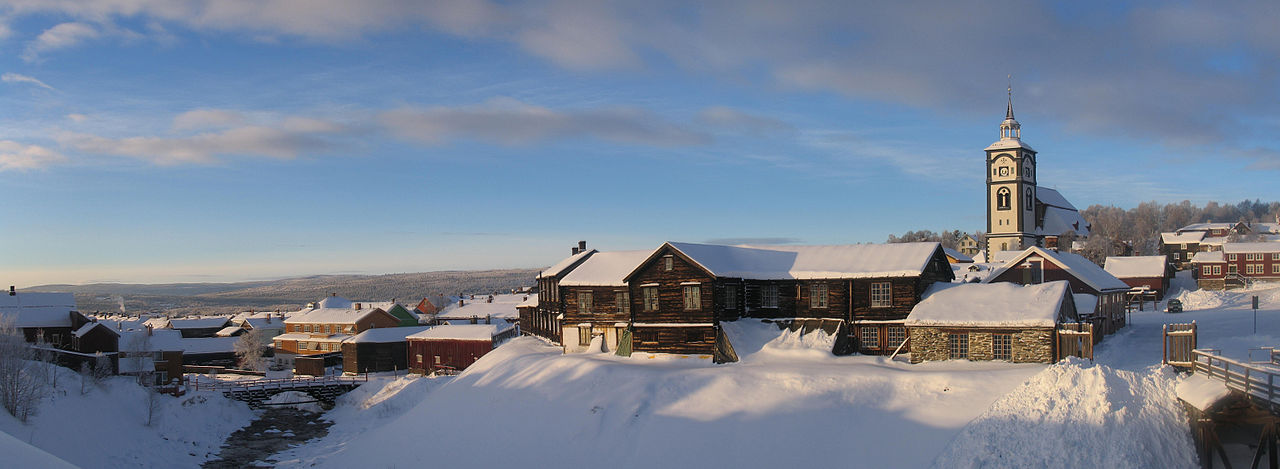 Røros in the winter sunshine
The official websites
Norway
Powered by Nature
| Location: | Northern Europe, bordering the North Sea and the North Atlantic Ocean, west of Sweden |
| Coordinates: | 62° 00′ N, 10° 00′ E |
| Size: | • 1,750 km N-S; 430 km E-W • 1,100 miles N-S; 270 miles E-W |
| Terrain: | Mostly high plateaus and rugged mountains broken by fertile valleys; small, scattered plains; coastline deeply indented by fjords; arctic tundra in north |
| Climate: | Temperate along coast, modified by North Atlantic Current; colder interior with increased rain and cool summers; rainy year-round on west coast |
| Highest point: | Galdhøpiggen 2,469 m / 8,100 ft |
| Forest: | 27.8% (2011 est.) |
| Population: | 5,467,439 (July 2020 est.) |
| Population density: | Low (14/km²) |
| Capital: | Oslo |
| Languages: | Bokmal Norwegian (official), Nynorsk Norwegian (official), small Sami- and Finnish-speaking minorities |
| Human Development Index: | Very high (0.957) |
| Currency: | Kroner |