The Geography of
Ecuador
Why visit Ecuador?
Ecuador has a geographical landscape so varied that it has been described as a microcosm of every micro-climate found in South America. It has some of the highest and most active volcanoes in the world; steamy Amazon jungles in the east; a Pacific coast dotted with fishing villages and beach resorts; and, out to sea, the jewel in the country’s crown—the fabled Galápagos Islands, named after giant tortoises that can live for more than 150 years. All this diversity makes Ecuador a magnet for tourists and mountain trekkers.
Contents
Map
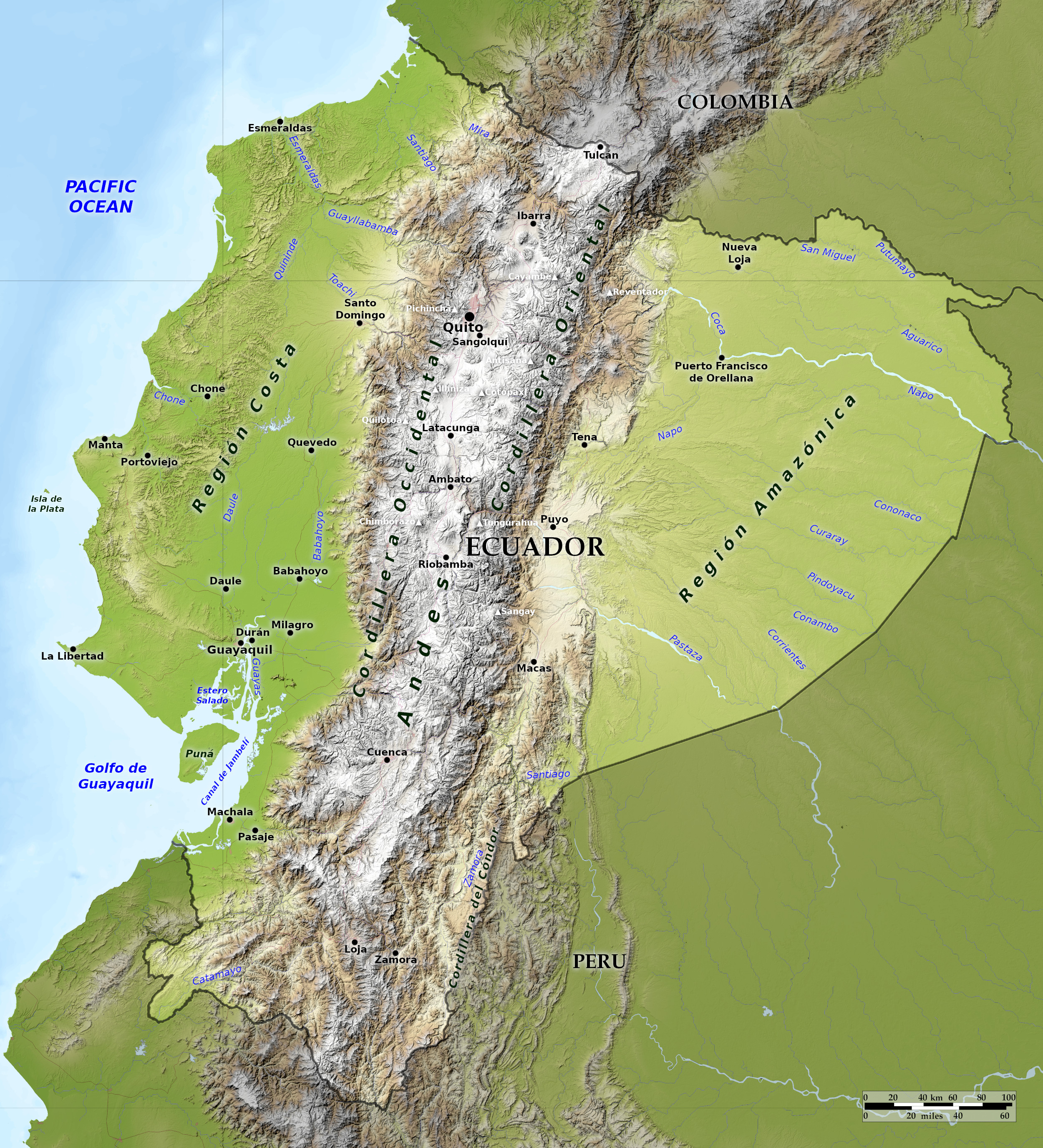 Relief map of Ecuador
What is the landscape of Ecuador like?
Ecuador consists of three distinct regions: The Andes mountains cross the country from north to south; to the west and stretching along the Pacific coast are low hills and swampy lowlands; east of the Andes the land gradually slopes away towards the Amazon.
The Coastal Plain
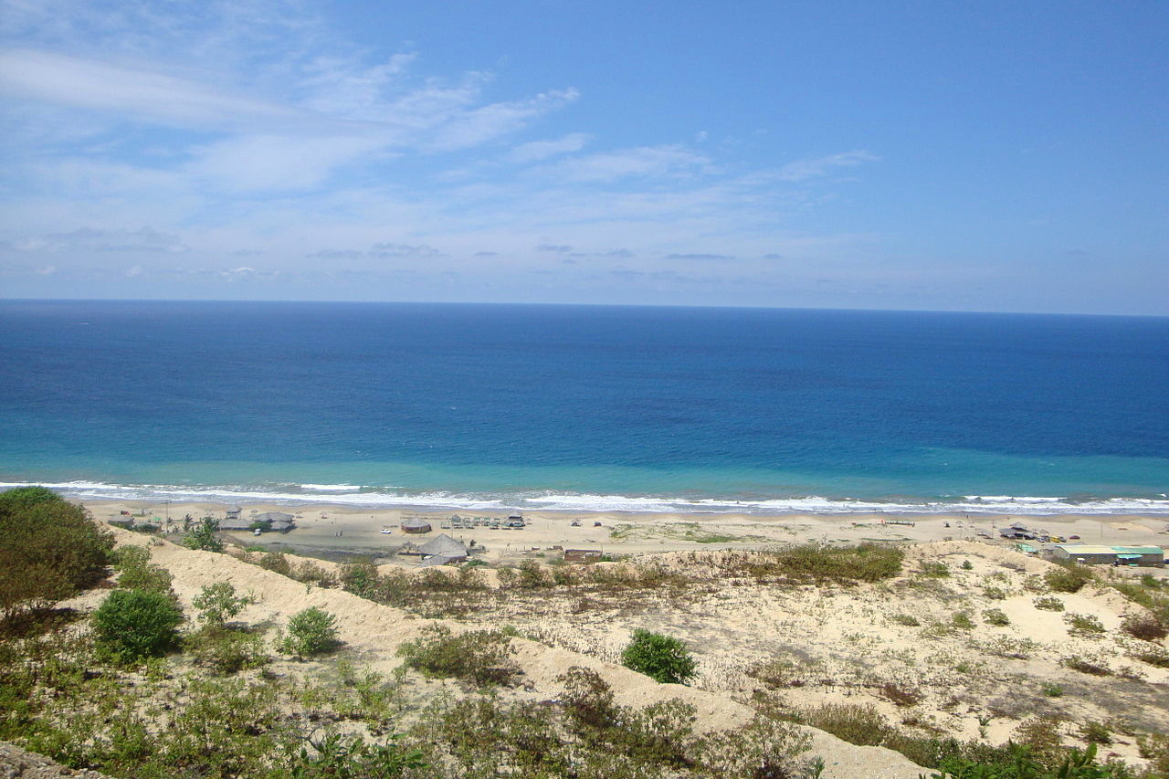
Along the coast are the hot, sultry lowlands, around 80 miles wide, and broken up by many ranges of low hills. The temperature is constantly high; there is a rainy season in the early part of the year (December to May), the rest of the year being much drier. North of the equator the land becomes densely forested with tropical rainforest conditions. South of the equator the rainfall diminishes, and beyond the Gulf of Guayaquil the land soon becomes desert-like.
The Andes
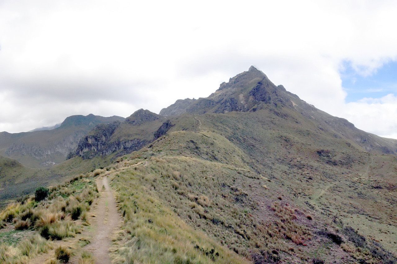
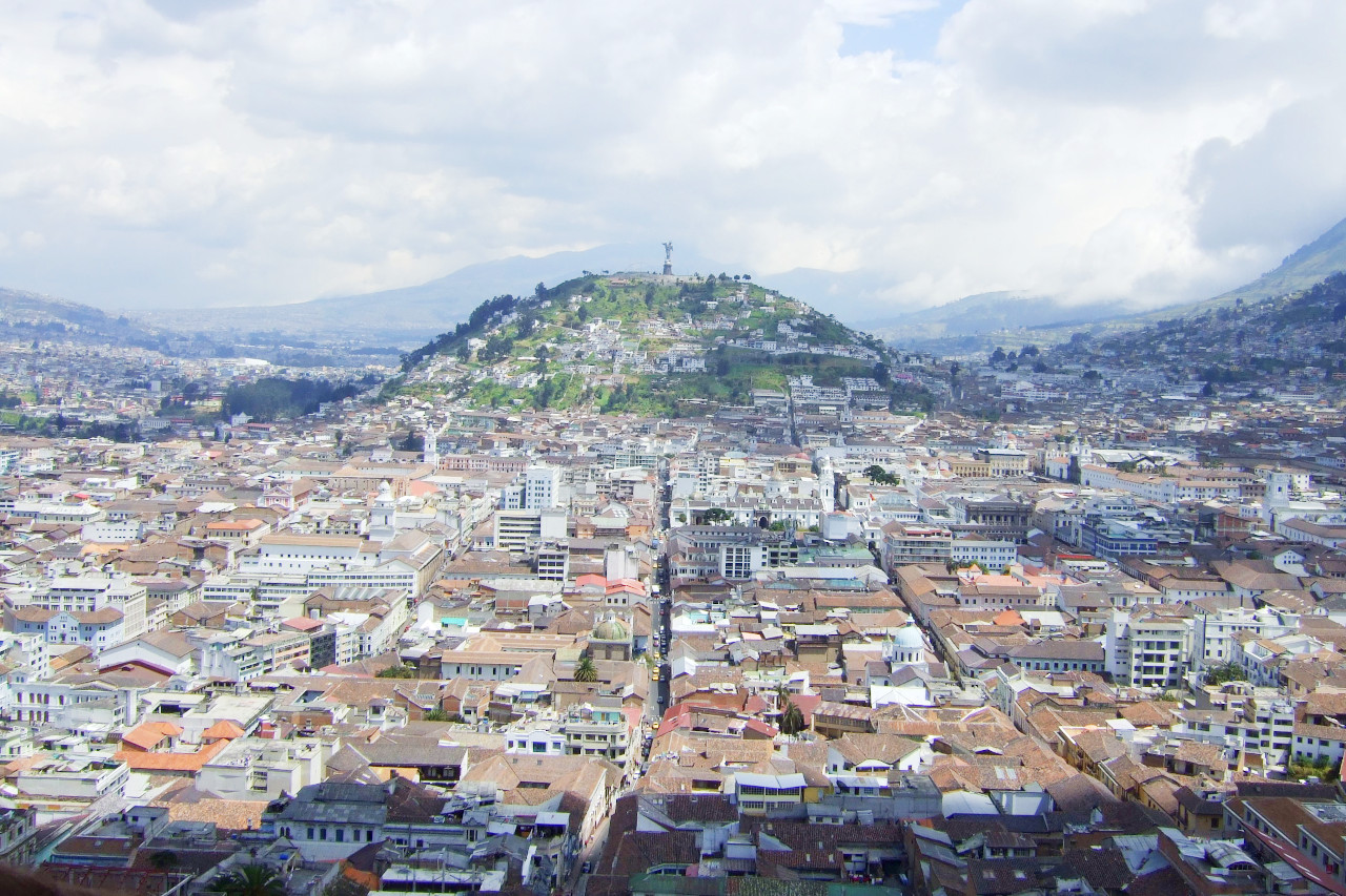
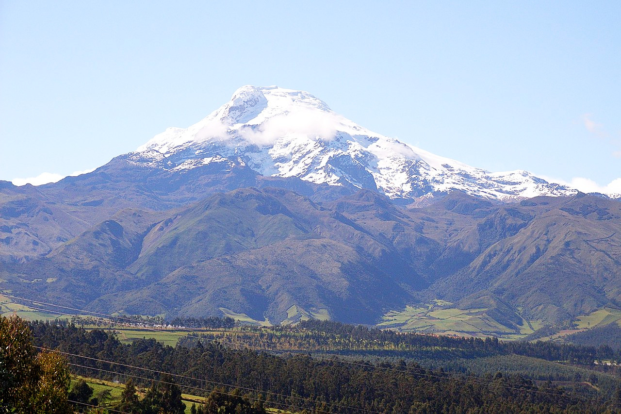
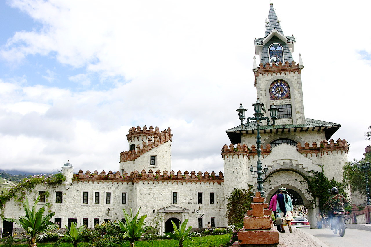
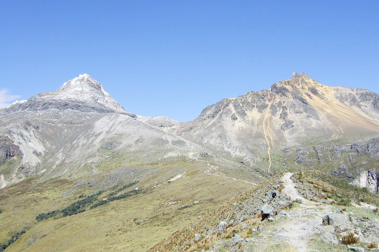
The heart of the country is Highland Ecuador, a region composed of two great Andean ranges and the plateau which lies between them. The two parallel ranges of the Andes both possess volcanoes like the extinct Chimborazo (6,263 m / 20,549 ft) and the active Cotopaxi (5,897 m / 19,347 ft), their highest parts snow-clad. Between the two ranges there lies the plateau, 300 miles long and 50 wide, split into separate basins by offshots from the main mountain chains. The plateau is about 2,700 meters (9,000 feet) above sea-level, so that the mean monthly temperature at Quito is regarded as spring-like, the seasonal range being practically nil. Daylight and darkness are equal in length throughout the year, although there are considerable variations in the daily weather.
The Interior Plains
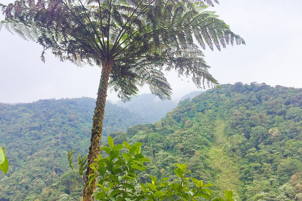
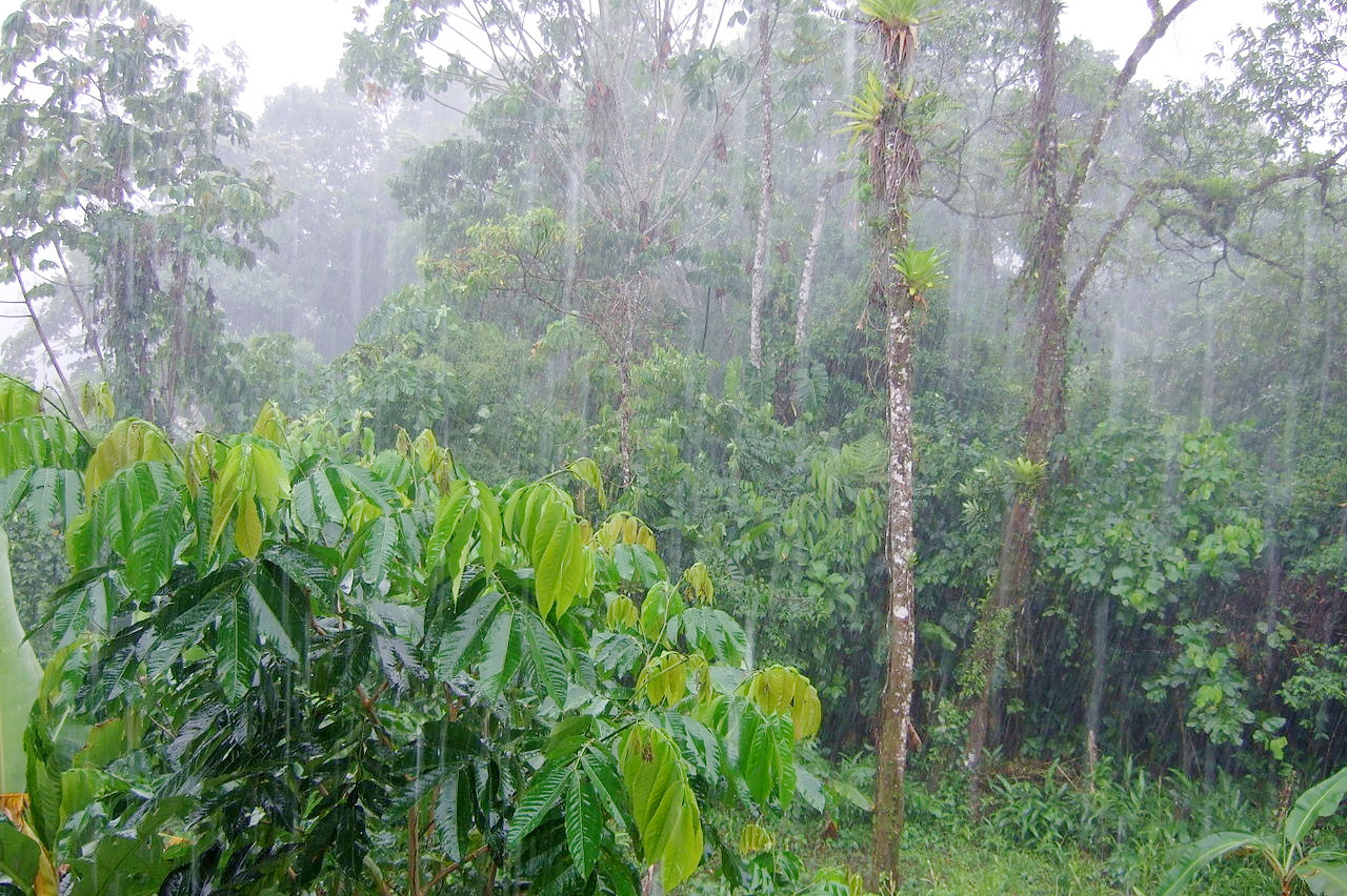
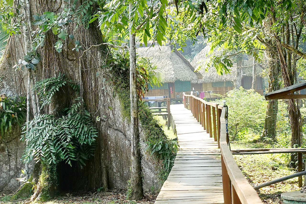
East of the Andes lie the 'Oriente' lands of Ecuador. These eastern lands are almost completely separated from the other regions by the massive, lofty, and steep Eastern Cordillera. Close to the Andes, the land drops quickly and is divided by rushing torrents escaping from the cold highlands. In the lowlands the forests become almost level, and the streams suddenly widen into sluggish, meandering rivers as they begin their journey down the Amazon system to the Atlantic. The Napo river, down which the explorer Orellana made his adventurous voyage, is the chief river flowing to the Amazon.
Oriente is home to Ecuador's most important nature parks, such as the Yasuni National Park, a designated UNESCO Biosphere Reserve that has been described by ecologists as the most biologically diverse spot on the planet.
What is the nature of Ecuador like?
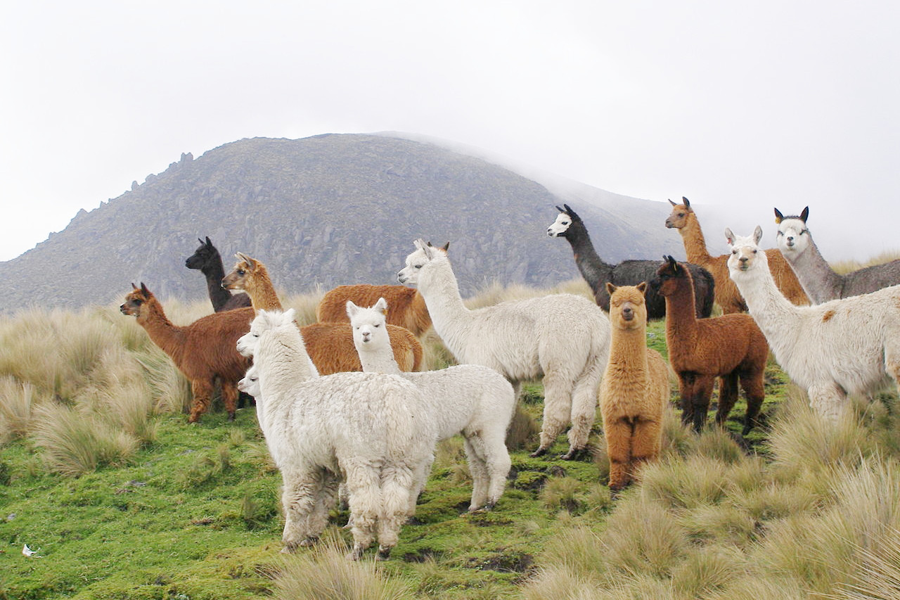
The natural environment of Ecuador is very similar that of other western countries of South America, and especially resembles that of Colombia and Peru. From the Pacific coast upward to a height of about 1,000 meters (3,300 feet) the vegetation is distinctively tropical. Thick forests of trees and medicinal plants occupy a considerable part of the countryside teeming with tropical wildlife and birds. Above 1,800 meters (6,000 feet) the vegetation is more northern, while above 3,000 meters (10,000 feet) trees are seldom met with, and the plantlife consists of shrubs and grasses. Above 4,000 meters (13,000 feet) the flora becomes distinctly alpine.
On the eastern slopes of the Andes, where the rainfall is continuous throughout the year and the atmosphere is surcharged with moisture, the forest growth is phenomenal.
What is the climate of Ecuador like?
See our main article: The Climate of Ecuador
Ecuador has naturally a tropical climate, but one which is considerably modified at high altitude. In the low coast regions and the plains of the east, as well as in the deep river valleys, the climate is hot and rainy, the annual average temperature seldom falling below 27°C (80°F). The most pleasant parts of the country are the high valleys of the Andes, lying at an altitude varying between 2,250 and 2,750 meters (7,500 to 9,000 feet), where the temperature is moderate and perpetual spring may be said to reign. Owing to their tropical situation, the snow-line of the Ecuador mountains is very high, and villages are found at 4,000 meters (13,000 feet). Generally speaking, there are two seasons, the rainy season or winter, lasting from November to May and the dry season, from June to October. Only in the high valleys, however, are there regular seasons.
| Climate data for Quito | |||||||||||||
|---|---|---|---|---|---|---|---|---|---|---|---|---|---|
| Month | Jan | Feb | Mar | Apr | May | Jun | Jul | Aug | Sep | Oct | Nov | Dec | Year |
| Average high °C (°F) | 21.2 (70.2) | 21.0 (69.8) | 20.8 (69.4) | 20.9 (69.6) | 21.0 (69.8) | 21.1 (70.0) | 21.5 (70.7) | 22.2 (72.0) | 22.3 (72.1) | 21.8 (71.2) | 21.3 (70.3) | 21.3 (70.3) | 21.4 (70.5) |
| Daily mean °C (°F) | 15.5 (59.9) | 15.6 (60.1) | 15.5 (59.9) | 15.6 (60.1) | 15.6 (60.1) | 15.5 (59.9) | 15.5 (59.9) | 15.9 (60.6) | 15.9 (60.6) | 15.7 (60.3) | 15.5 (59.9) | 15.5 (59.9) | 15.6 (60.1) |
| Average low °C (°F) | 9.8 (49.6) | 10.1 (50.2) | 10.1 (50.2) | 10.2 (50.4) | 10.1 (50.2) | 9.8 (49.6) | 9.4 (48.9) | 9.6 (49.3) | 9.4 (48.9) | 9.5 (49.1) | 9.6 (49.3) | 9.7 (49.5) | 9.8 (49.6) |
| Average precipitation mm (inches) | 82.5 (3.25) | 111.0 (4.37) | 146.6 (5.77) | 171.2 (6.74) | 105.5 (4.15) | 39.5 (1.56) | 21.5 (0.85) | 27.7 (1.09) | 68.9 (2.71) | 114.9 (4.52) | 108.5 (4.27) | 100.4 (3.95) | 1,098.2 (43.24) |
| Source 1: World Meteorological Organization | |||||||||||||
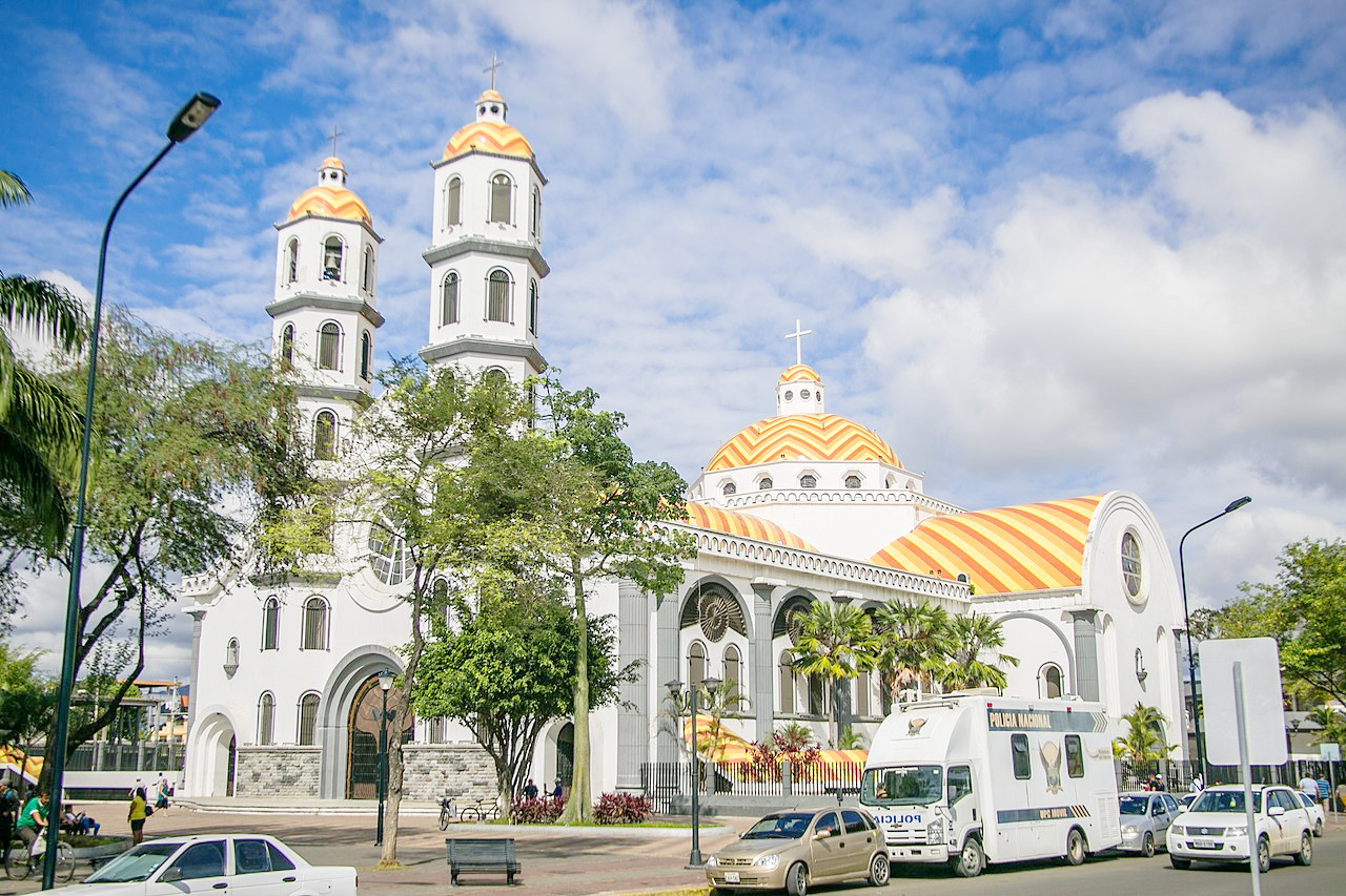
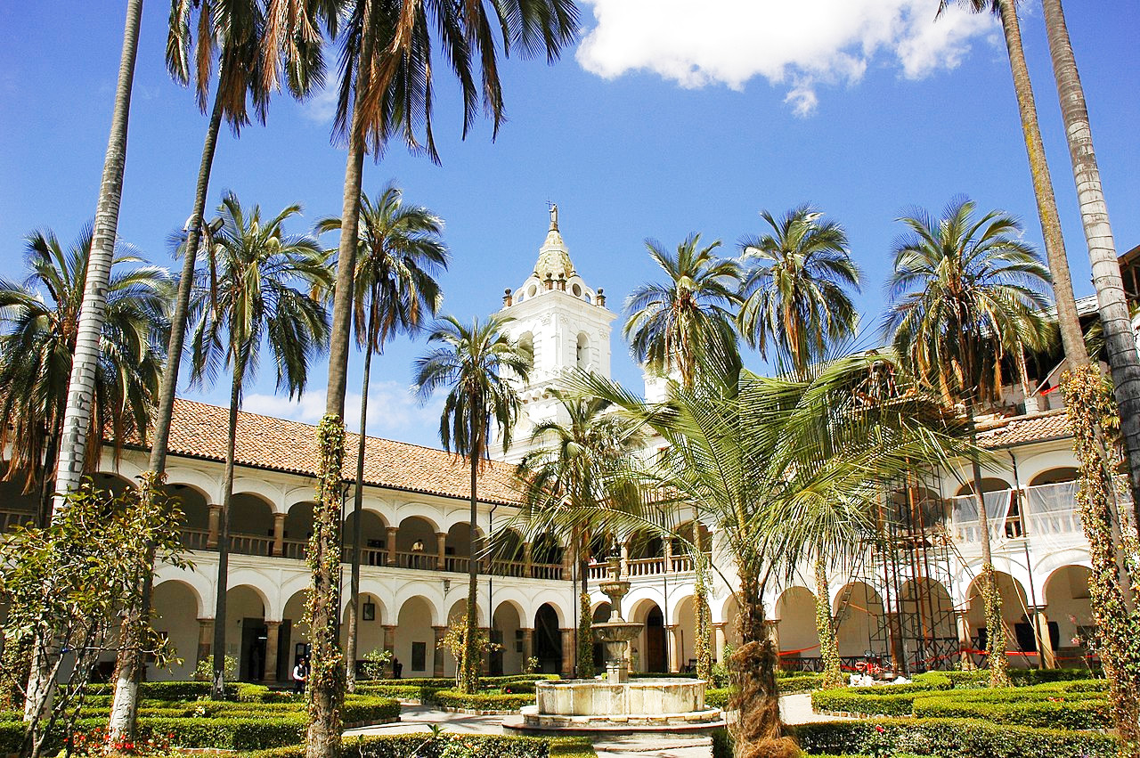 Courtyard of the Convent of St. Francis, Quito
The official websites
Ecuador
All You Need is Ecuador
| Location: | West coast of South America on the equator |
| Coordinates: | 2° 00′ S, 78° 15′ W |
| Size: | • 715 km N-S; 660 km E-W • 445 miles N-S; 410 miles E-W |
| Terrain: | The coast is a low plain; the Highlands are formed by two parallel ranges of the Andes; the east is part of the upper Amazon Basin |
| Climate: | Tropical along the coasts; the highlands are temperate but with subtropical valleys and snow-covered mountain peaks; the east is tropical with high rainfall |
| Highest point: | Chimborazo 6,263 m / 20,549 ft |
| Forest: | 51% (2015 est.) (source) |
| Population: | 17,289,554 (2022 est.) |
| Population density: | Low (67/km²) |
| Capital: | Quito |
| Languages: | Spanish (93%); Quechua languages (4%); other indigenous languages |
| Human Development Index: | High (0.759) |
| Currency: | U.S. dollar |