.jpg)
.jpg)
The Geography of
Provence–Alpes–Côte d'Azur
Provence, which runs from the Rhône valley to the Italian frontier, is a region with numerous chains of hills at the foot of the Alps. The skies are radiant, the valleys are fertile, and the land teems with vine bushes and olive trees. The coast has a fully Mediterranean climate, with an almost sub-tropical vegetation.
Contents
Map
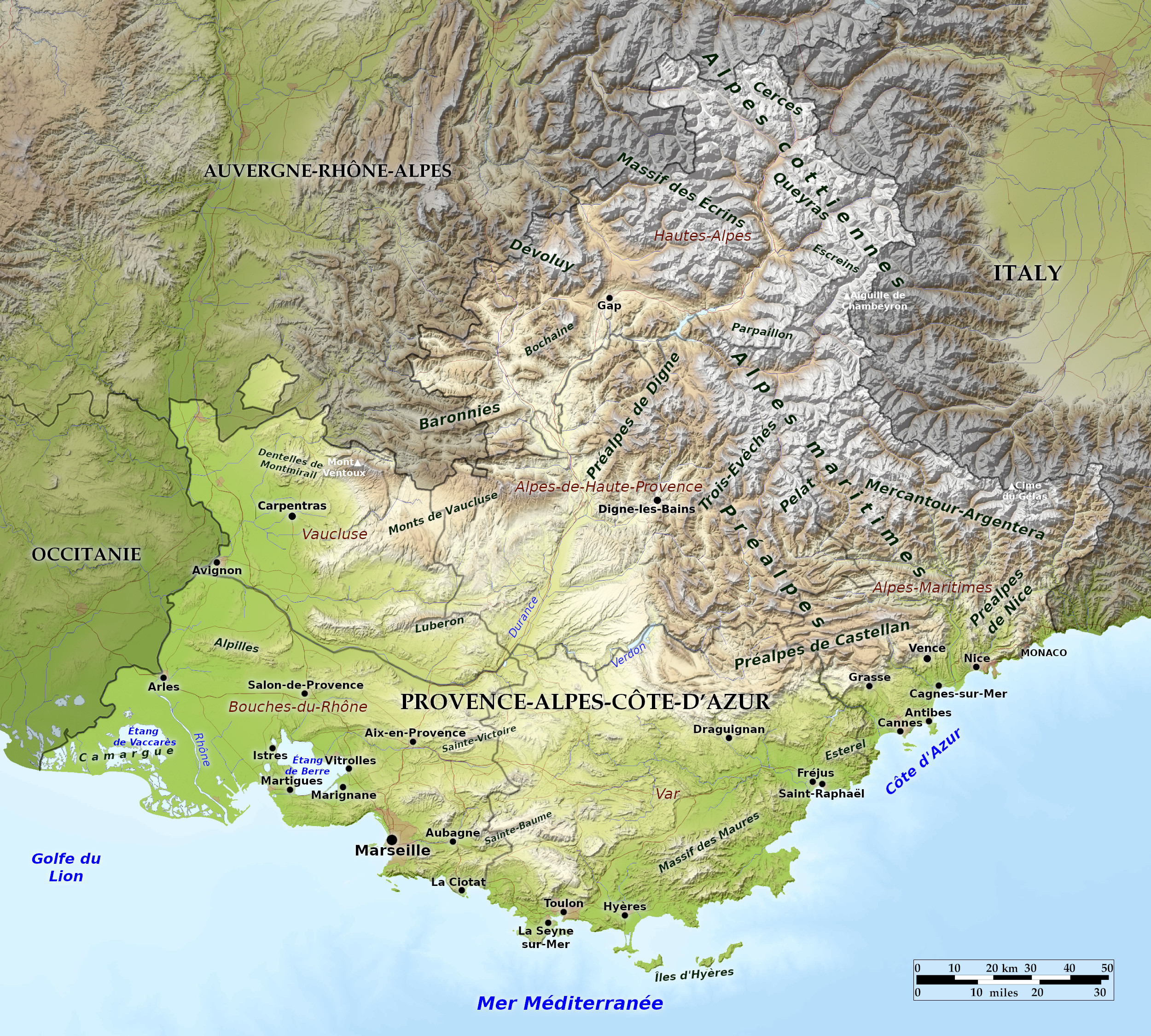 Relief map of Provence–Alpes–Côte d'Azur
What is the landscape of Provence-alpes-cotedazur like?
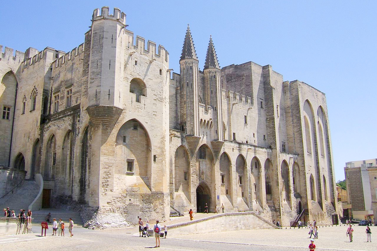
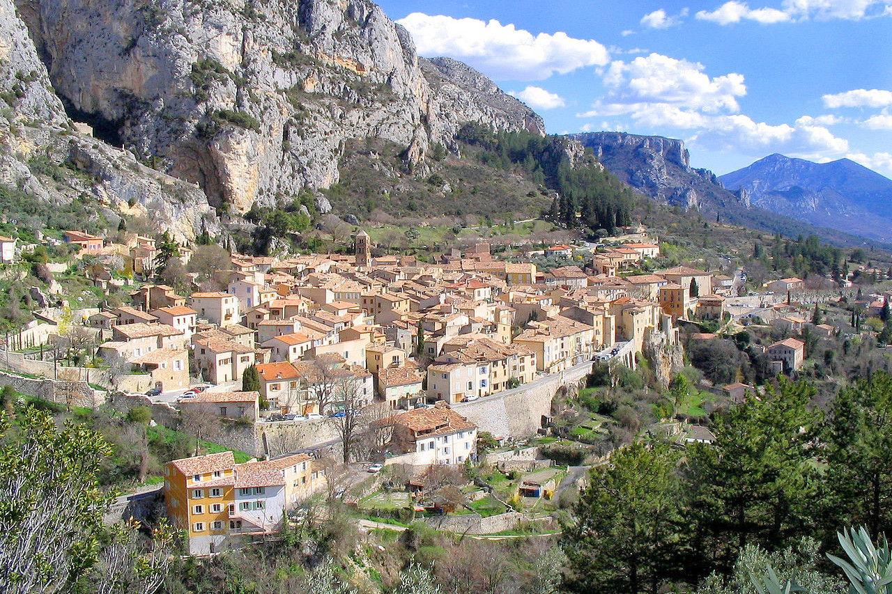
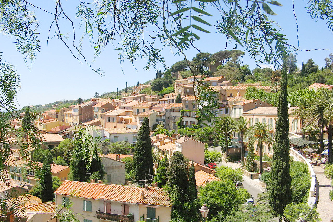
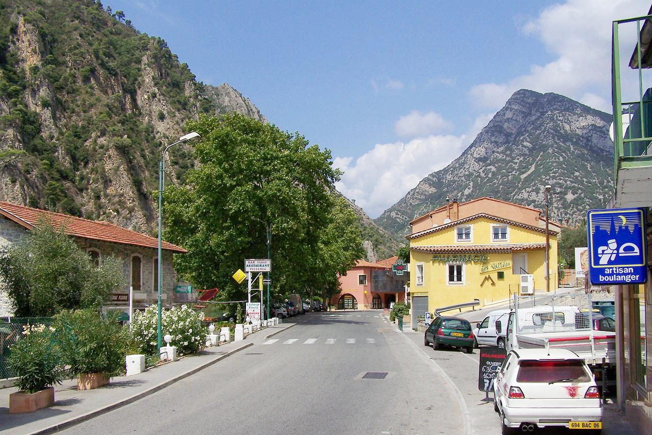
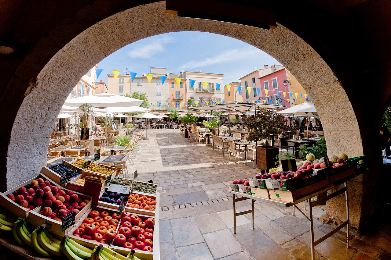
The region of Provence–Alpes–Côte d'Azur has a reputation for blazing sunshine and a turquoise sea. The region shows greater variety than that though, ranging from the fertile areas south of Avignon to the high peaks of the Maritime Alps. The region is bordered in the west by the fertile valley of the Rhône which descends to the sea carrying soil on the vast volume of its waters. Provence has many lovely and interesting towns, in which can be found monuments and ruins dating back to the Roman times. The western district is one of great fertility, and is known as the "Garden of Provence." On the eastern verges of the Rhône valley are towns such as Capentras, with its vast seventeenth-century episcopal palace, and Vaucluse, where Petrarch composed his sonnets. Southwards, are gathered some of the most famous towns in France: Avignon, Arles, and, most lovely of all, Aix-en-Provence.
.jpg&oldid=654637411)
.jpg&oldid=543189109)
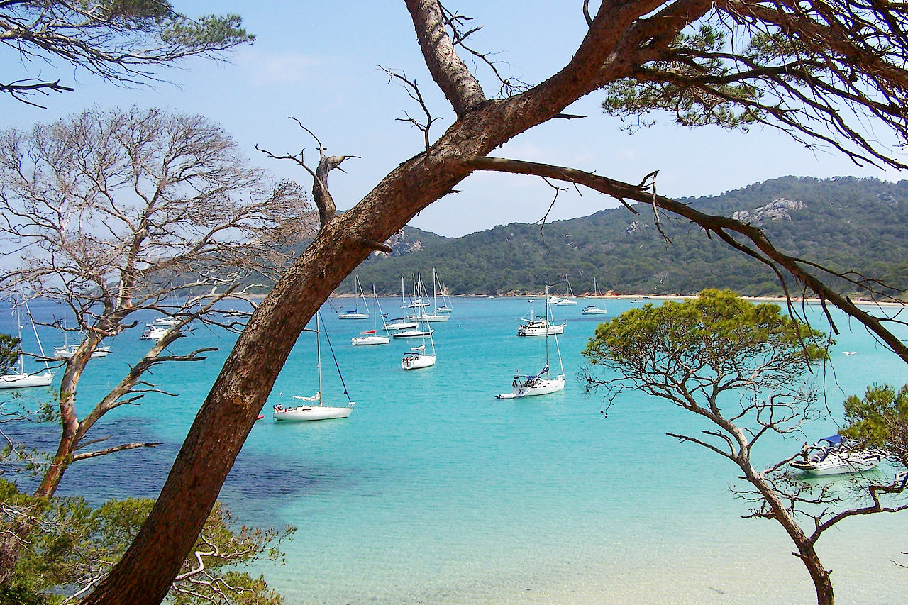
East of Marseilles the coastal plain is narrow and backed by high and picturesque mountains. This region is known as the Côte d'Azur, and, because of its scenery, its intensely blue sea, and sunny skies, is a famous tourist region, with such well-known resorts as Nice, Antibes, Cannes, etc. This is France’s playground. The French Riviera extends from Toulon to the Italian border and glitters with famous resorts.
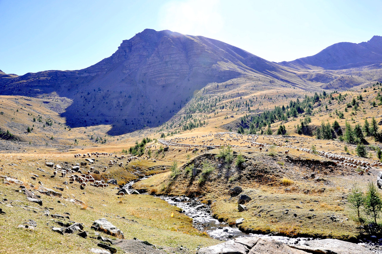
From the coast, narrow valleys run northwards into the hills; they are green and fertile with the waters of streams. Mounting to the north of the department of Var, the hills become wild and stony, giving a foretaste of the Alps which lie beyond. As the hills rise towards the Alps, the towns become fewer; in general they crouch deep down in river valleys. There is a distinct alteration of the landscape—outlines become larger and wilder, the landscape of wide deep valleys merging into great stony slopes which rise to wild rocky peaks is almost overwhelming in its scale. Swift-flowing rivers race between the mountain ranges where the scale is so great that the human species seems to be of the utmost insignificance.
What is the nature of Provence-alpes-cotedazur like?
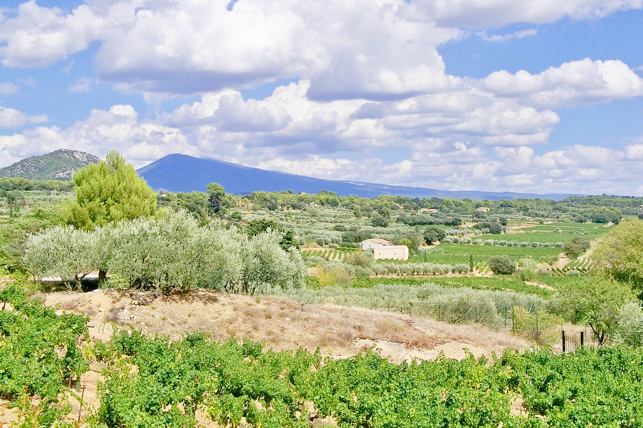
This is a land of beauty as well as of warmth and sunshine. The blue of the Mediterranean and the scented mimosa, the white walls of the villas and the mountains behind. The land teems with vine bushes and olive trees. In the south the aloe, the cactus, the Aleppo and stone pines, the pomegranate, the orange, and even the palm-tree, may be seen flourishing in the open air.
What is the climate of Provence-alpes-cotedazur like?
The region has Mediterranean climate on the coast, with hot summers with sunshine, and mild winters when the bulk of the rain falls. Even in winter you’ll find balmy sunshine, a profusion of flowers, and fruit trees still in blossom. In the north there is a mountain climate with cooler summers, and cold, snowy, weather in the mountains.
The great heat of summer occurs between the middle of July and the end of September, yet even in summer scorching heat can alternate with a piercing cold. The cause of these sudden changes in temperature is the Mistral or northwest wind—a cold, and drying wind, which prevails chiefly in spring all along the coast, and up the Rhône valley.
| Climate data for Marseille (1981–2010) | |||||||||||||
|---|---|---|---|---|---|---|---|---|---|---|---|---|---|
| Month | Jan | Feb | Mar | Apr | May | Jun | Jul | Aug | Sep | Oct | Nov | Dec | Year |
| Average high °C (°F) | 11.4 (52.5) | 12.5 (54.5) | 15.8 (60.4) | 18.6 (65.5) | 22.9 (73.2) | 27.1 (80.8) | 30.2 (86.4) | 29.7 (85.5) | 25.5 (77.9) | 20.9 (69.6) | 15.1 (59.2) | 11.9 (53.4) | 20.2 (68.4) |
| Daily mean °C (°F) | 7.1 (44.8) | 8.1 (46.6) | 11.0 (51.8) | 13.8 (56.8) | 18.0 (64.4) | 21.8 (71.2) | 24.8 (76.6) | 24.4 (75.9) | 20.6 (69.1) | 16.6 (61.9) | 11.1 (52.0) | 7.9 (46.2) | 15.5 (59.9) |
| Average low °C (°F) | 2.9 (37.2) | 3.6 (38.5) | 6.2 (43.2) | 9.1 (48.4) | 13.1 (55.6) | 16.6 (61.9) | 19.4 (66.9) | 19.0 (66.2) | 15.7 (60.3) | 12.4 (54.3) | 7.2 (45.0) | 4.0 (39.2) | 10.8 (51.4) |
| Average precipitation mm (inches) | 48.0 (1.89) | 31.4 (1.24) | 30.4 (1.20) | 54.0 (2.13) | 41.1 (1.62) | 24.5 (0.96) | 9.2 (0.36) | 31.0 (1.22) | 77.1 (3.04) | 67.2 (2.65) | 55.7 (2.19) | 45.8 (1.80) | 515.4 (20.29) |
| Source: Meteo France | |||||||||||||
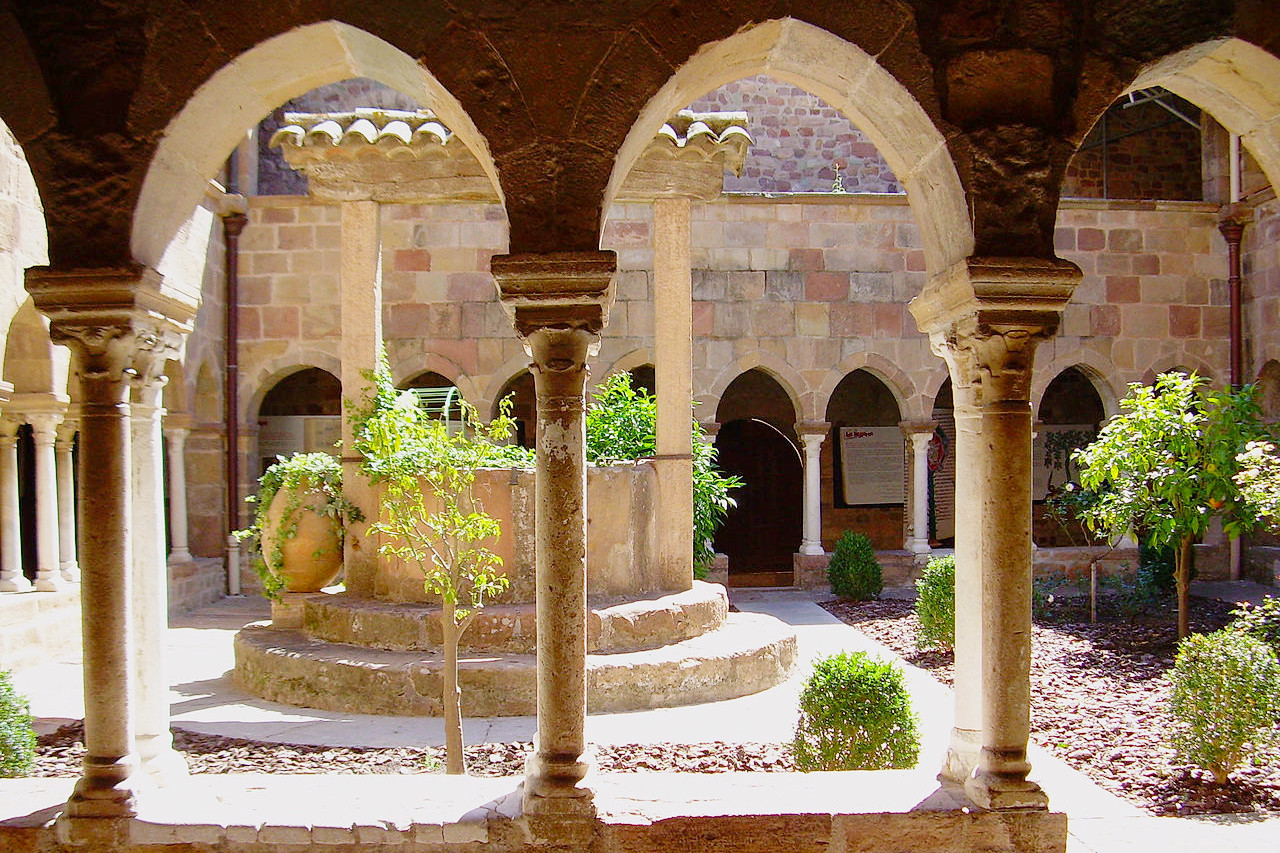 Cloister of Saint-Leonce Cathedral, Frejus, Var
Provence–Alpes–Côte d'Azur
The sunniest place in France
| Location: | Southeastern France, bordering the Mediterranean Sea |
| Coordinates: | 44° 00′ N, 6° 00′ E |
| Size: | • 240 km N-S; 280 km E-W • 150 miles N-S; 175 miles E-W |
| Terrain: | Fertile plains in the west, becoming hilly in the center. High Alpine mountains in the north |
| Climate: | Hot and dry summers in the south with mild winters. Colder conditions in the mountains with winter snow |
| Highest point: | Aiguille de Chambeyron 3,412 m / 11,194 ft |
| Forest: | 33% (2010 est.) (source) |
| Population: | 5,081,101 (2019) |
| Population density: | High (162/km²) |
| Capital: | Marseille |
| Languages: | French; Provençal |
| Human Development Index: | Very High (0.898) |