_Vue_générale3.JPG)
The Geography of the
Massif Central
Why visit the Massif-Central?
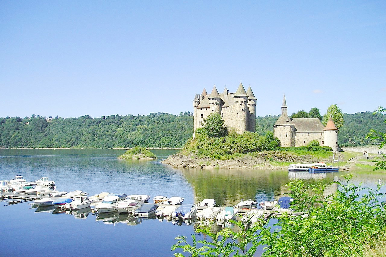
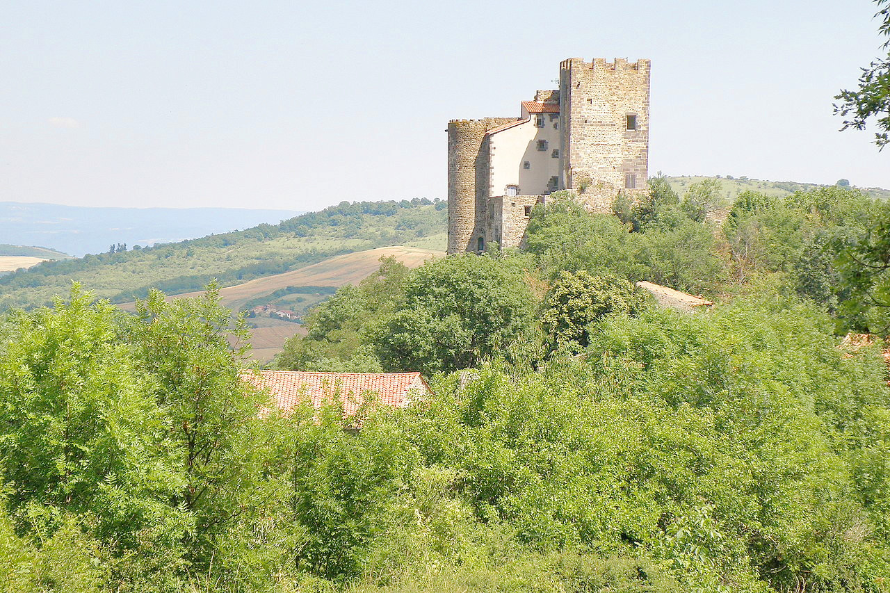
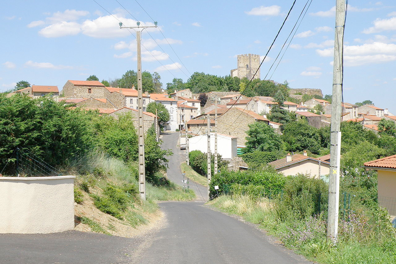
The Massif Central is the very heart of France, a great area of volcanic mountains and basins. A chief source of interest are its extinct volcanoes. Many of them swell into domes, others are formed into craters as assuming the shape of a volcanic cone. In some instances the lava streams may still be traced from the very lips of the crater out of which they originally flowed for miles over the country, capping the hill tops and filling up the valleys. Castles of the feudal ages abound in this region and adorn the landscape. In the volcanic country they are usually perched on a platform of basalt crowning some peak.
Contents
Map
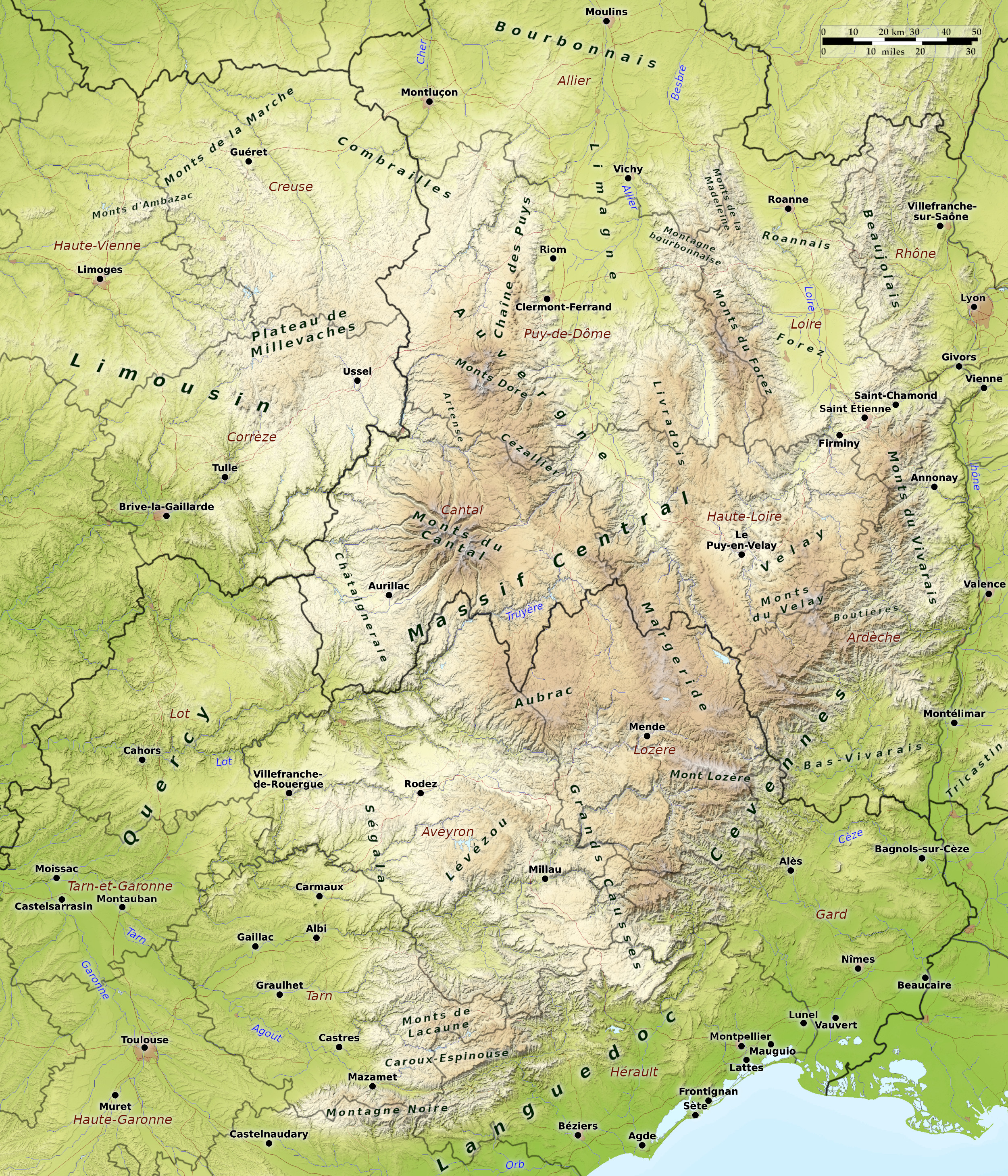 Relief map of the Massif Central
What is the landscape of Massif-central like?

Located in south-central France, the Massif Central ('Central Plateau') occupies about one-sixth of the total area of France. It is part of the ancient highland system of Central Europe. Most of this plateau, which averages around 1,000 meters (3,000 feet) in height, is composed of ancient crystalline rocks. Among other things, the region is known for its awe-inspiring volcanic relief. Formed millions of years ago, the volcanic Massif Central predates both the Alps and the Pyrenees. It is best known for its volcanic cones, called "puys".
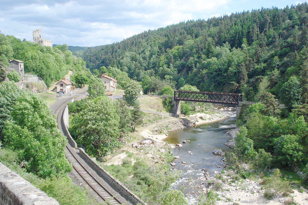
The western and southeastern margins of the plateau are composed of limestone and the scenery is of the “karst” type. These regions are known as Causses, and are characterised by deep valleys and disappearing rivers. The plateaus are arid and barren, but the rivers which flow through them, like the Tarn with its famous gorges, make the deep valleys fertile. Here, too, are many deep caverns, only lightly explored.
In the center the ancient mountains appear as round-topped hills lifted out of the original plateau. Here there are table-lands, rounded hillocks, interspersed with the valleys, carved into gorges by the rivers tumbling down toward the basins of Paris and Aquitaine.
On its eastern side the plateau drops steeply to the Rhone valley and is known as the Cevennes. It is wild and rugged, but not as arid as the Causses. Le Puy, with its fantastic position and strange buildings, is the chief town of the district. The mountains of the Cevennes are a natural citadel, a labyrinth of gorges and canyons with mountain peaks and ridges; passes and gorges; forests, mountain paths, and caves. To the south, the flanks of the mountains are so steep that in order to cultivate them the inhabitants have had to build a succession of little terraces upon the hillsides to hold up the tiny fields.
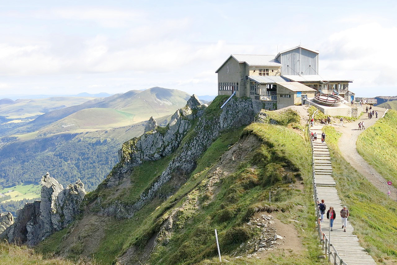
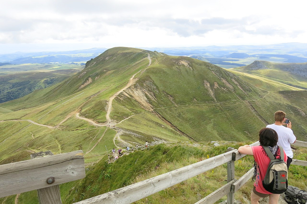
The volcanic mountains are an incoherent mass in the south, but further north around the great Chaine des Puys, they have high crests, peaks, and deep valleys, and mountains such as the famous Puy-de-Dôme have kept the form of cones or craters and still seem ready to belch forth flames or streams of lava. Rising above the ancient surface, these steep extinct volcanoes, from which blackish lava-flows like long snakes with crackly skins creep slowly down almost into the green valleys below, are one of the great spectacles in France. This is the district of the Auvergne, the heart of the Massif Central. This is good travelling country, and the views are wide and panoramic. These volcanic cones give the landscape a unique aspect. The finest view-point is the Puy de Dome (1,464 m, 4,803 ft).
What is the nature of Massif-central like?
_Vue_g%C3%A9n%C3%A9rale3.JPG&oldid=484674444)
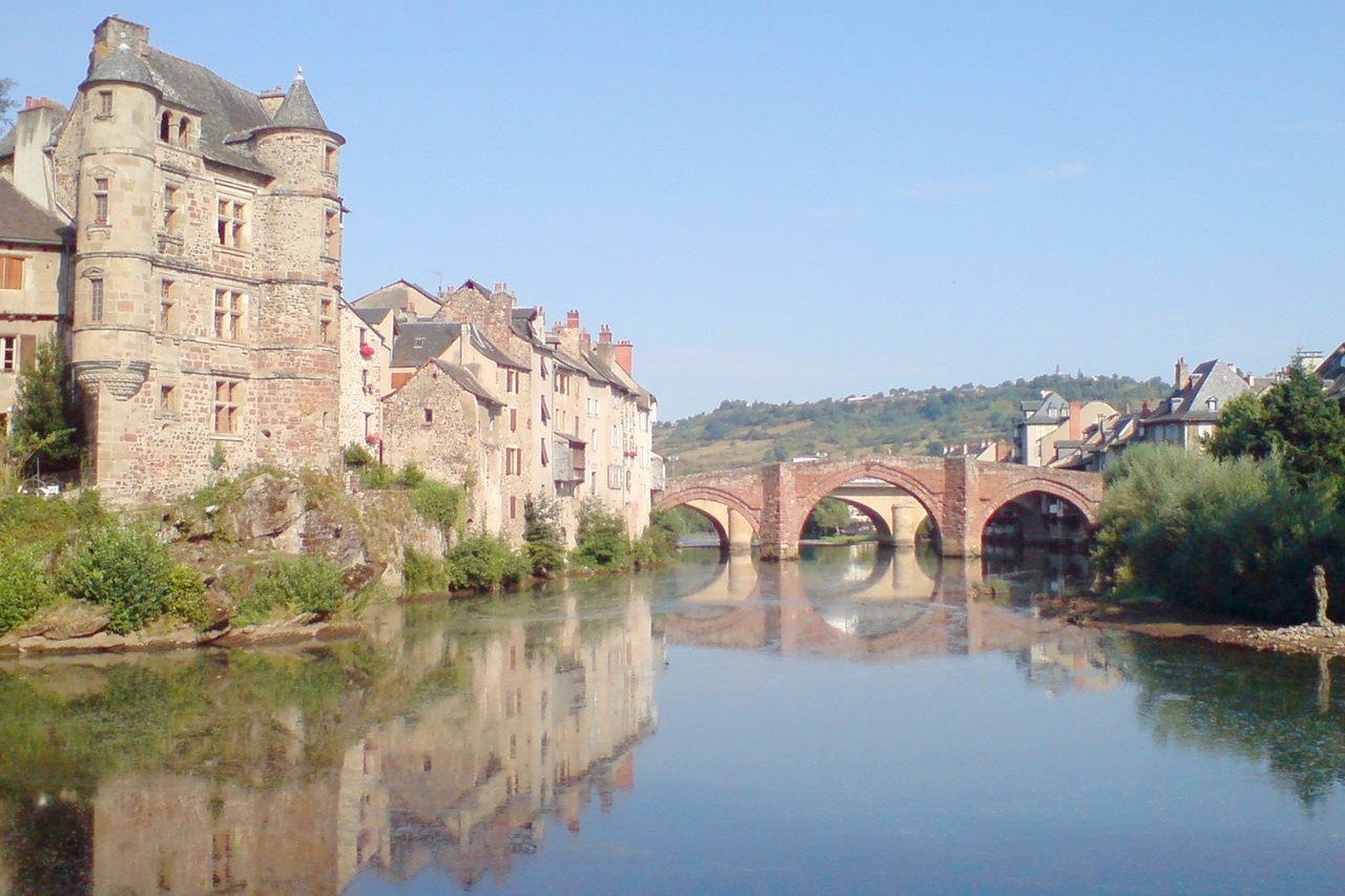
The plateaus of Massif Central are wild and naked, but the rivers which flow through them, make the deep valleys fertile. A large number of lakes have filled the volcanic craters. Moreover, some of France’s best-known rivers originate in the region: the Dordogne, Allier, Lot, and Loire. Many of its rivers, including the powerful Loire, flow into the Atlantic Ocean. Thus, it is a mountainous region with an abundance of water and scenic valleys, where most of the population is settled..
What is the climate of Massif-central like?
The climate varies from one area to another. The region has harsh winters with cold temperatures and snow in the mountains. A mountain wind, known as the Tramontane, sometimes blows through the region from the north. Summer tends to be hot and humid, and the southern part of the region has a somewhat Mediterranean climate. Fall is often considered the best season of the year.
| Climate data for Le Puy-en-Velay (1981–2010) | |||||||||||||
|---|---|---|---|---|---|---|---|---|---|---|---|---|---|
| Month | Jan | Feb | Mar | Apr | May | Jun | Jul | Aug | Sep | Oct | Nov | Dec | Year |
| Average high °C (°F) | 4.9 (40.8) | 6.5 (43.7) | 9.8 (49.6) | 12.5 (54.5) | 17.0 (62.6) | 21.0 (69.8) | 24.2 (75.6) | 24.0 (75.2) | 19.5 (67.1) | 14.8 (58.6) | 8.7 (47.7) | 5.6 (42.1) | 14.0 (57.3) |
| Daily mean °C (°F) | 0.8 (33.4) | 1.9 (35.4) | 4.6 (40.3) | 7.0 (44.6) | 11.2 (52.2) | 14.7 (58.5) | 17.3 (63.1) | 17.1 (62.8) | 13.3 (55.9) | 9.9 (49.8) | 4.5 (40.1) | 1.7 (35.1) | 8.7 (47.6) |
| Average low °C (°F) | −3.3 (26.1) | −2.7 (27.1) | −0.7 (30.7) | 1.6 (34.9) | 5.3 (41.5) | 8.4 (47.1) | 10.5 (50.9) | 10.1 (50.2) | 7.1 (44.8) | 4.9 (40.8) | 0.4 (32.7) | −2.3 (27.9) | 3.3 (37.9) |
| Average precipitation mm (inches) | 38.5 (1.52) | 31.3 (1.23) | 33.0 (1.30) | 60.2 (2.37) | 81.7 (3.22) | 69.1 (2.72) | 58.6 (2.31) | 64.0 (2.52) | 73.4 (2.89) | 71.4 (2.81) | 54.7 (2.15) | 42.4 (1.67) | 678.3 (26.71) |
| Source: infoclimat.fr | |||||||||||||
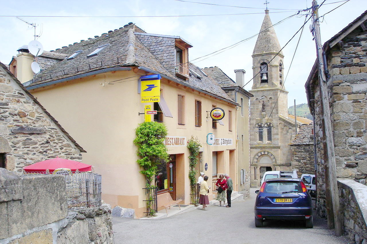 Centre of the village of Cubières, Lozère
Massif Central
The heart of France
| Location: | South central France |
| Coordinates: | 45° 00′ N, 3° 00′ E |
| Size: | • 350 km N-S; 300 km E-W • 220 miles N-S; 190 miles E-W |
| Terrain: | An ancient eroded mountain plateau, with deep valleys and volcanic landforms |
| Climate: | Warm Mediterranean summers contrasted with cold winters |
| Highest point: | Puy de Sancy 1,886 m / 6,188 ft |
| Forest: | 44% (2010 est.) (source) |
| Population: | ~3,000,000 |
| Population density: | Low (~50/km²) |
| Capital: | — |
| Languages: | French |
| Human Development Index: | Very high (0.901) |