The Geography of the
French Alps
Why visit the French Alps?
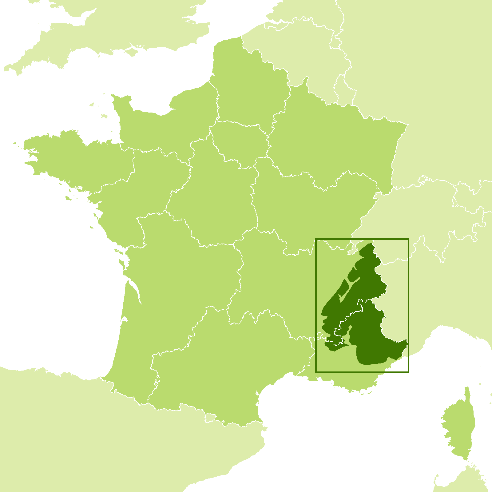
The French Alps are a wonderful world in themselves. Stretching from Lake Geneva to the Riviera, these mountains are composed of two distinct parts. The south is confused, wider, and less elevated; here the dryness of the Mediterranean climate prevails. The north is more regular, narrower, the altitude higher, and the climate cooler and damper, but streams are abundant and the vegetation is luxuriant. Altogether, the French Alps are a paradise.
Contents
Map
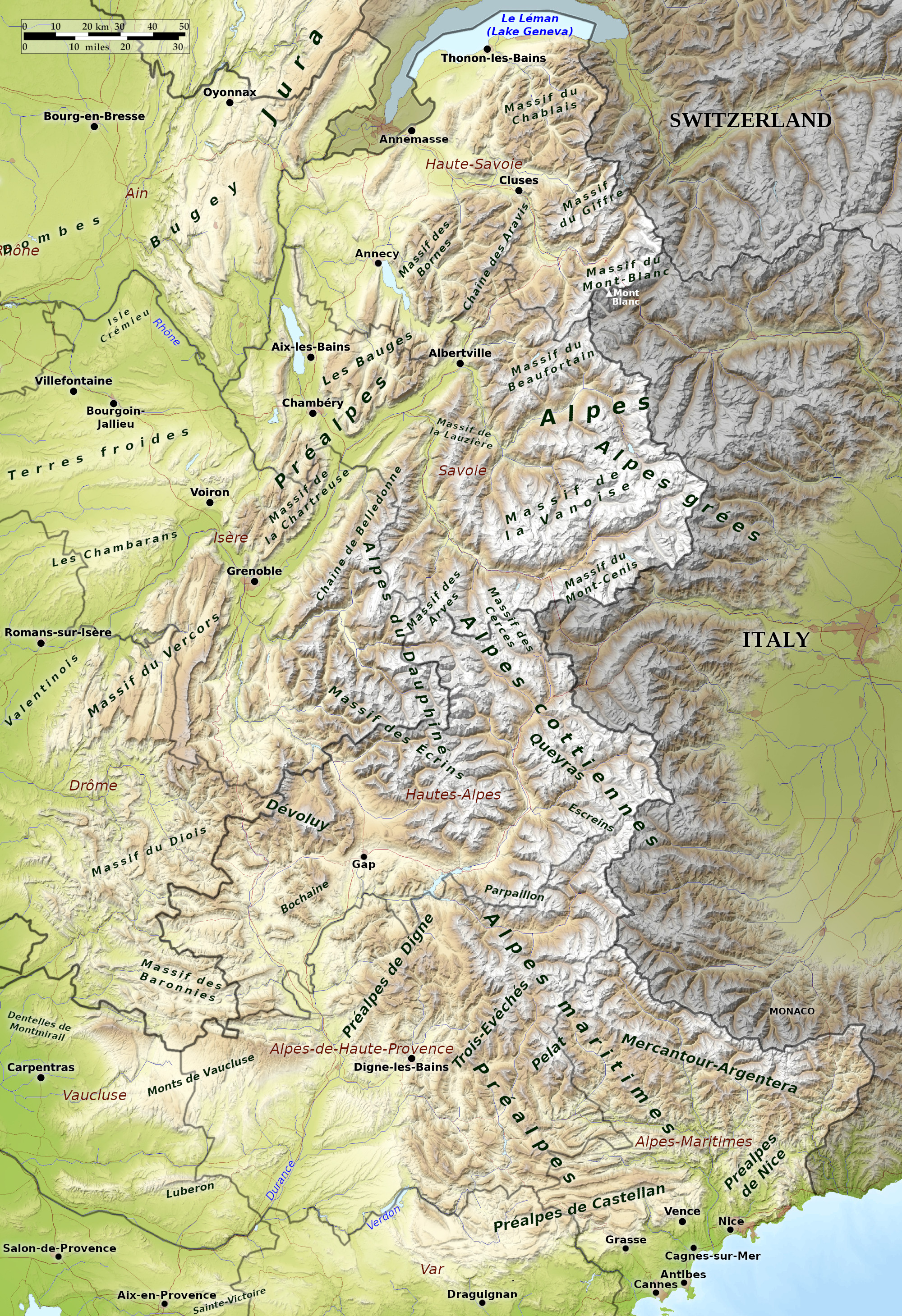 Relief map of the French Alps
What is the landscape of the French Alps like?
The French Alps extend south from Lake Geneva to the Riviera. Some of the best skiing in Europe is found here and some of the most breath-taking scenery.
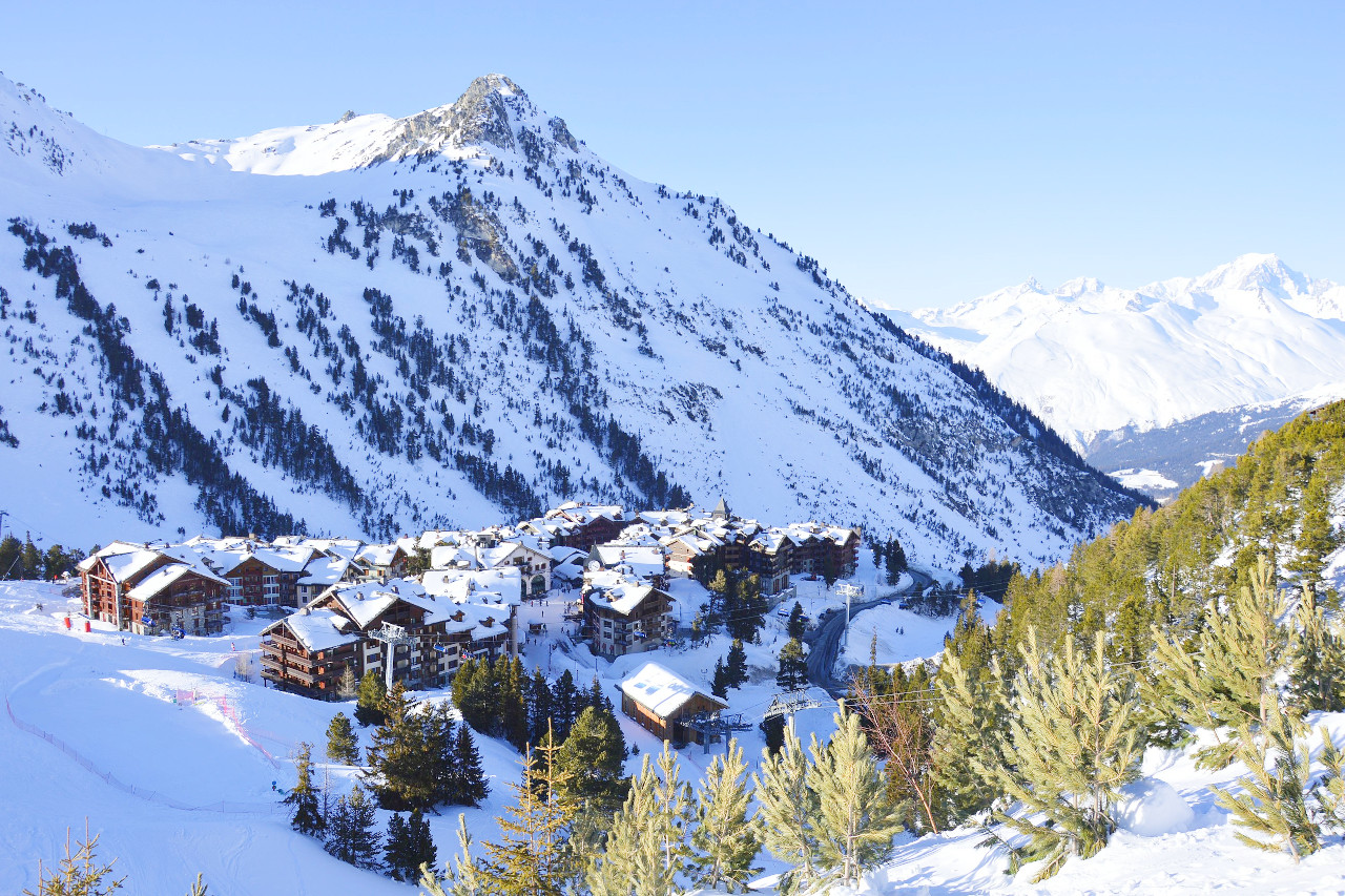
This beautiful portion of France is very mountainous. Its northern part, Savoy, is famous historically in that its ancient Duchy ruled Italy for many years. Eventually its dukes became the kings of Italy (the House of Savoy). The province contains the French shore of the Lake of Geneva, Annecy and le Bourget—the largest and most beautiful lakes in France. In Savoy are magnificent mountains, an adventure ground for the mountaineer and the skier, Chamonix being the best-known resort for both activities, although there are dozens of other fine centres in the province.
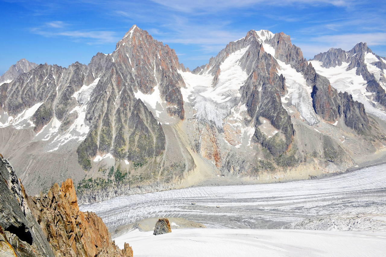
Mont Blanc towers over the towns of Megève and Chamonix. From here you may visit the Mer de Glace glacier, take the cable car 3,778 meters (12,395 feet) up to the Aiguille du Midi, or go to Le Brevent with its astonishing view of the whole chain. Grenoble is famous for its university, and as being an outstanding ski center.
In this land there are few ancient monuments, for past warfare has swept them away or left merely picturesque ruins. In the south, bordering on the Dauphine, are the peaks and glaciers of the Grandes Rousses, popular with mountain-lovers.
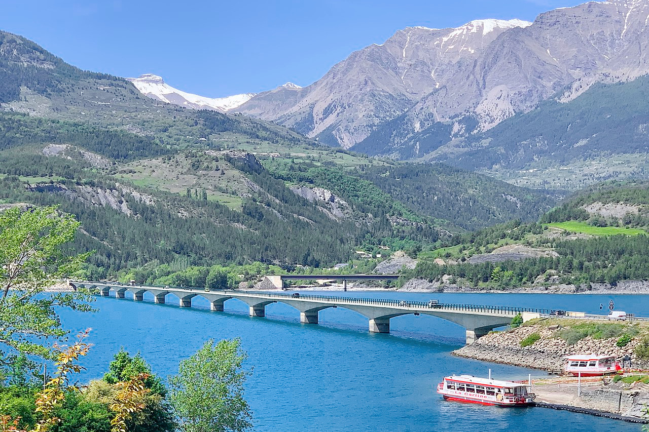
The Cottian Alps, in the center, contains many high peaks. It has also many winter resorts, including Montgenevre, on the Italian border and the old fortress town of Briançon. Its scenery is magnificent. There are wild rivers in the district, the Durance being particularly well known for exciting and adventurous canoeing. It also contains many limestone caves, among them some of the deepest in Europe.
The most southern part of the mountain ranges forms the arid Maritime Alps of Provence. Mention should be made of the fine old town of Castellane, the Col d'Allos, a pass of over 2,000 meters (7,000 feet), and the magnificent Verdon Gorge.
What is the nature of the French Alps like?
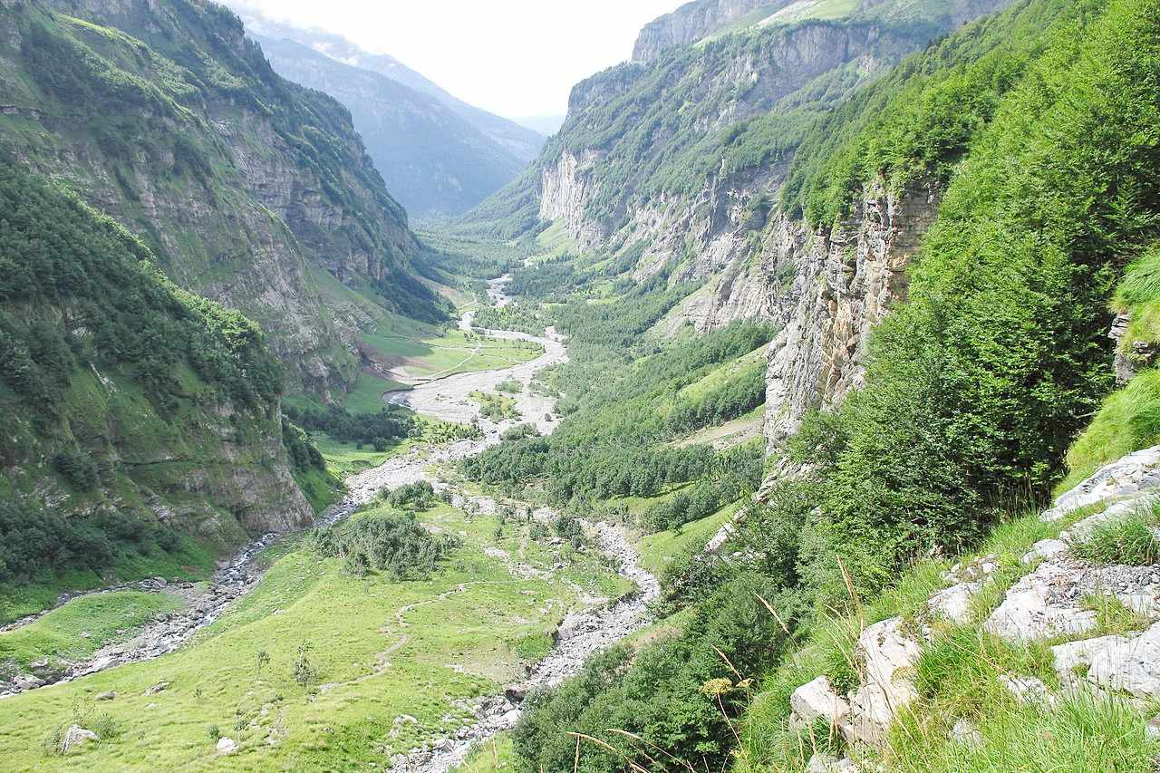
The southern Alps are rough and irregular. On the valley floors Mediterranean plants can be found, such as almond and olive trees, but above them is scrubby growth, mixed with pine forest. The streams tumble alternately through gorges and over wide spaces. The watercourses tumbling down the arid slopes can turn into raging torrents at short notice.
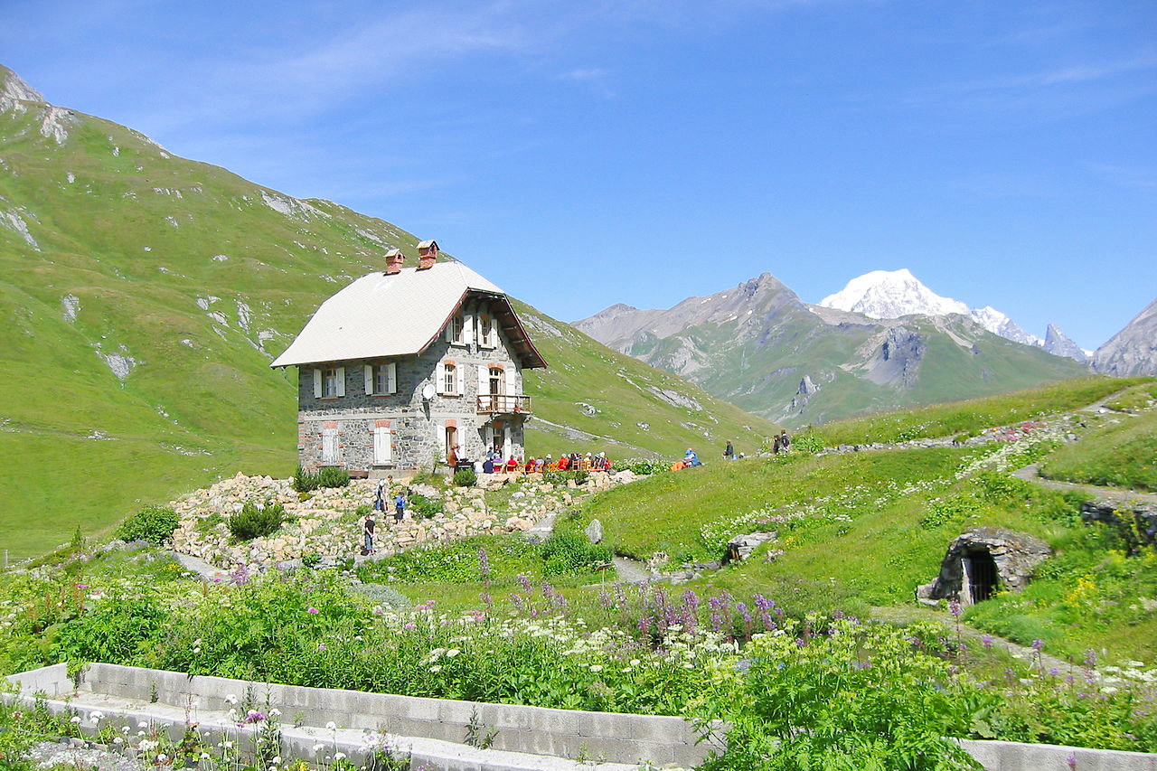
The northern Alps are high mountains with pointed summits and vast domes. This is the chain that reaches in the summit of Mont-Blanc the greatest altitude in the Alps (4,808 m / 15,774 ft). Glaciers descend into the valleys among fields and forests down to 1,100 meters (3,600 feet). The French Alps are bordered by long lines of mountains separated from each other by deep valleys through which Alpine rivers flow toward the Rhône. White cliffs tower above valleys where clear mountain streams ripple through meadows and forests. Beautiful lakes occupy deep clefts between the mountains.
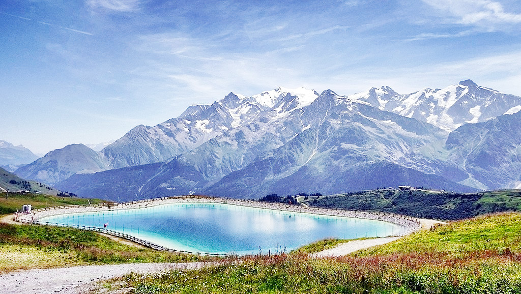 Massif du Mont Blanc
What is the climate of the French Alps like?
The weather and climate of the French Alps is very similar to that found in the Swiss Alps. There is relatively fine and rather warm summer weather, considering the altitude, but this may be briefly interrupted by cloud, rain, and thunder. The most unpleasant aspect of the summer weather is the frequent and sudden onset of cloud towards midday, which may obscure the peaks but leave the valleys clear. In winter, conditions are often reversed with the mountains rising into clear blue skies and the valleys enveloped in low cloud and fog.
| Climate data for Chamonix (1981–2010) | |||||||||||||
|---|---|---|---|---|---|---|---|---|---|---|---|---|---|
| Month | Jan | Feb | Mar | Apr | May | Jun | Jul | Aug | Sep | Oct | Nov | Dec | Year |
| Average high °C (°F) | 2.7 (36.9) | 5.0 (41.0) | 8.9 (48.0) | 12.7 (54.9) | 17.6 (63.7) | 21.2 (70.2) | 23.9 (75.0) | 23.1 (73.6) | 19.1 (66.4) | 14.7 (58.5) | 7.4 (45.3) | 2.6 (36.7) | 13.3 (55.9) |
| Daily mean °C (°F) | −2.2 (28.0) | −0.7 (30.7) | 3.0 (37.4) | 6.6 (43.9) | 11.2 (52.2) | 14.3 (57.7) | 16.5 (61.7) | 15.9 (60.6) | 12.5 (54.5) | 8.6 (47.5) | 2.7 (36.9) | −1.6 (29.1) | 7.3 (45.1) |
| Average low °C (°F) | −7.1 (19.2) | −6.3 (20.7) | −3.0 (26.6) | 0.4 (32.7) | 4.8 (40.6) | 7.5 (45.5) | 9.1 (48.4) | 8.7 (47.7) | 6.0 (42.8) | 2.5 (36.5) | −2.1 (28.2) | −5.7 (21.7) | 1.3 (34.3) |
| Average precipitation mm (inches) | 93.9 (3.70) | 83.8 (3.30) | 86.6 (3.41) | 89.0 (3.50) | 121.4 (4.78) | 130.4 (5.13) | 119.0 (4.69) | 125.9 (4.96) | 103.6 (4.08) | 116.8 (4.60) | 100.7 (3.96) | 109.8 (4.32) | 1,280.9 (50.43) |
| Source: Meteo France | |||||||||||||
French Alps
The roof of Europe
| Location: | Southeast France |
| Coordinates: | 44° 45′ N, 6° 15′ E |
| Size: | • 380 km N-S; 250 km E-W • 235 miles N-S; 155 miles E-W |
| Terrain: | Very mountainous with various branches of the Alps rising to the east |
| Climate: | A typical alpine climate with warm summers and cold, snowy, winters |
| Highest point: | Mont Blanc 4,808 m / 15,774 ft |
| Forest: | ~40% (2010 est.) (source) |
| Population: | ~2,000,000 |
| Population density: | Low (~80/km²) |
| Capital: | — |
| Languages: | French |
| Human Development Index: | Very high (0.901) |
_et_rochers.jpg)
_du_chemin_sous_le_Roc_(Embrun)_en_mai_2021.jpg)
