The Geography of
Campania
Why visit Campania?
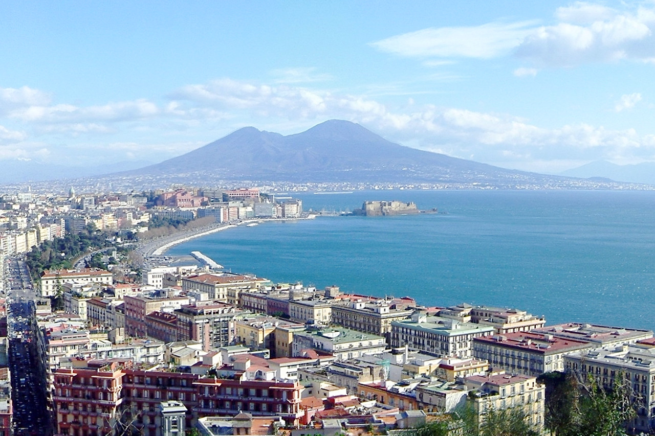
Campania is a delightful region, consisting of a very fertile plain with hills to the north, east and south, and the sea to the west. It is famed for the Bay of Naples, one of the most beautiful bays in the world, but the entire region is occupied by irregular masses of mountains, intersected by winding rivers
Contents
Map
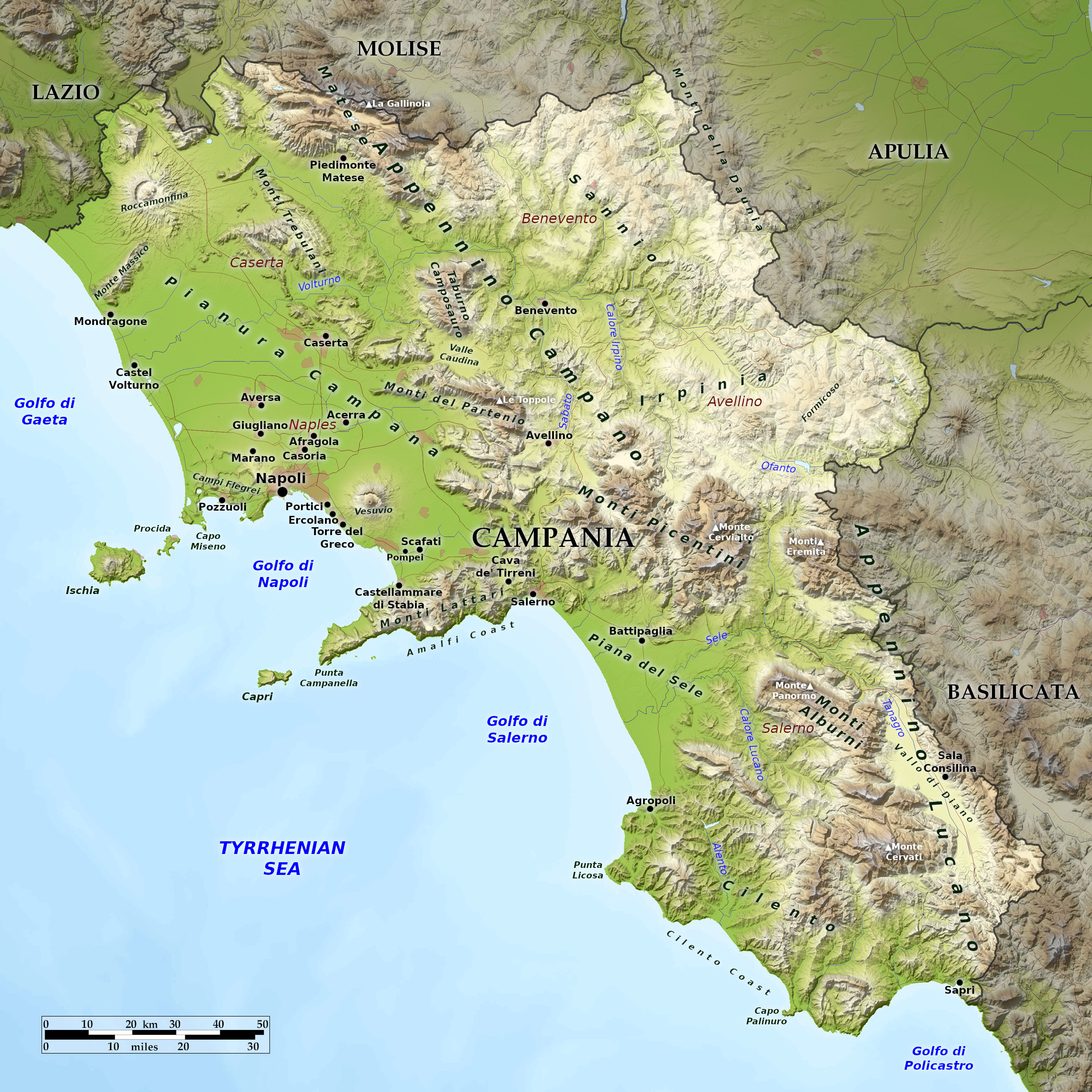 Relief map of Campania
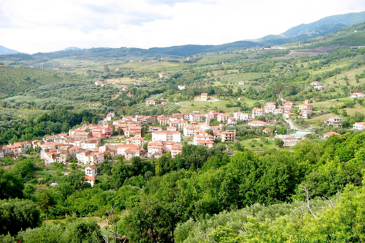
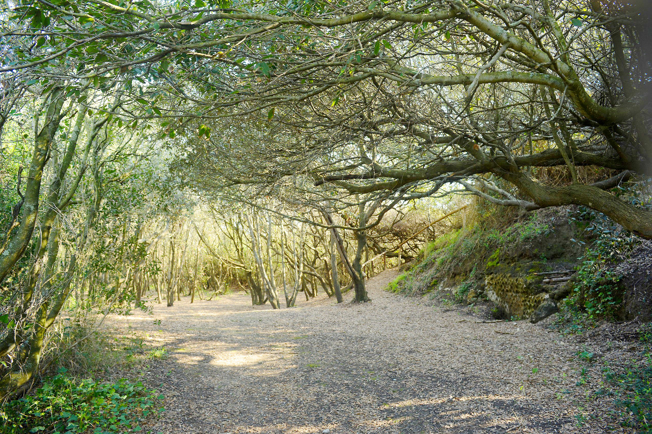
What is the landscape of Campania like?
.jpg&oldid=493726731)
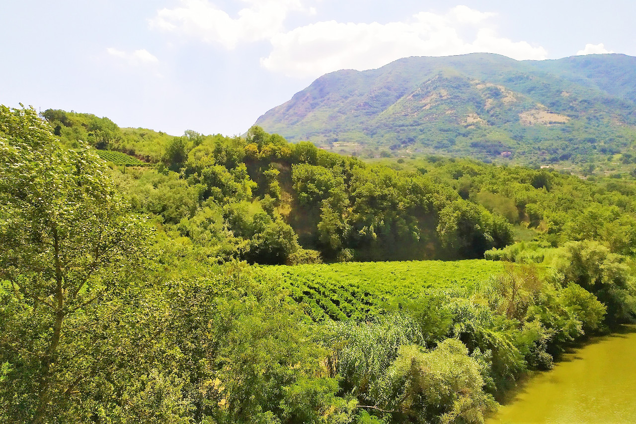
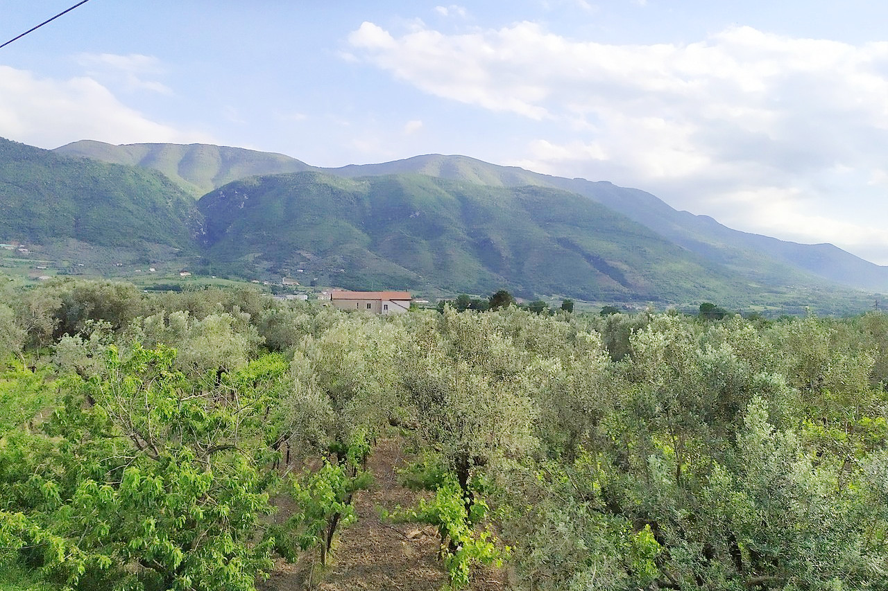
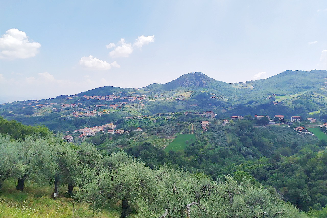
Campania faces the Tyrrhenian Sea on its west. Along the coast is a series of gulfs, from Gaeta to Naples to Salerno and Policastro. Campania takes its name from the Latin campus (field), which described the agricultural plain around the ancient city of Capua. A large plain, the Piana del Sele, also occupies a stretch of the coast in the province of Salerno. Still, only 15 percent of the whole region is flat. Most of Campania is either hilly (50 percent) or mountainous (35 percent).
Some of the highest peaks in the southern Apennines are found in Campania, as is Italy's most famous mountain, the volcano Vesuvius, which, since 1995, has been the home of a national park. At 1,923 m / 6,309 feet, the region's highest peak is La Gallinola, in the Matesian group along the Molise border.
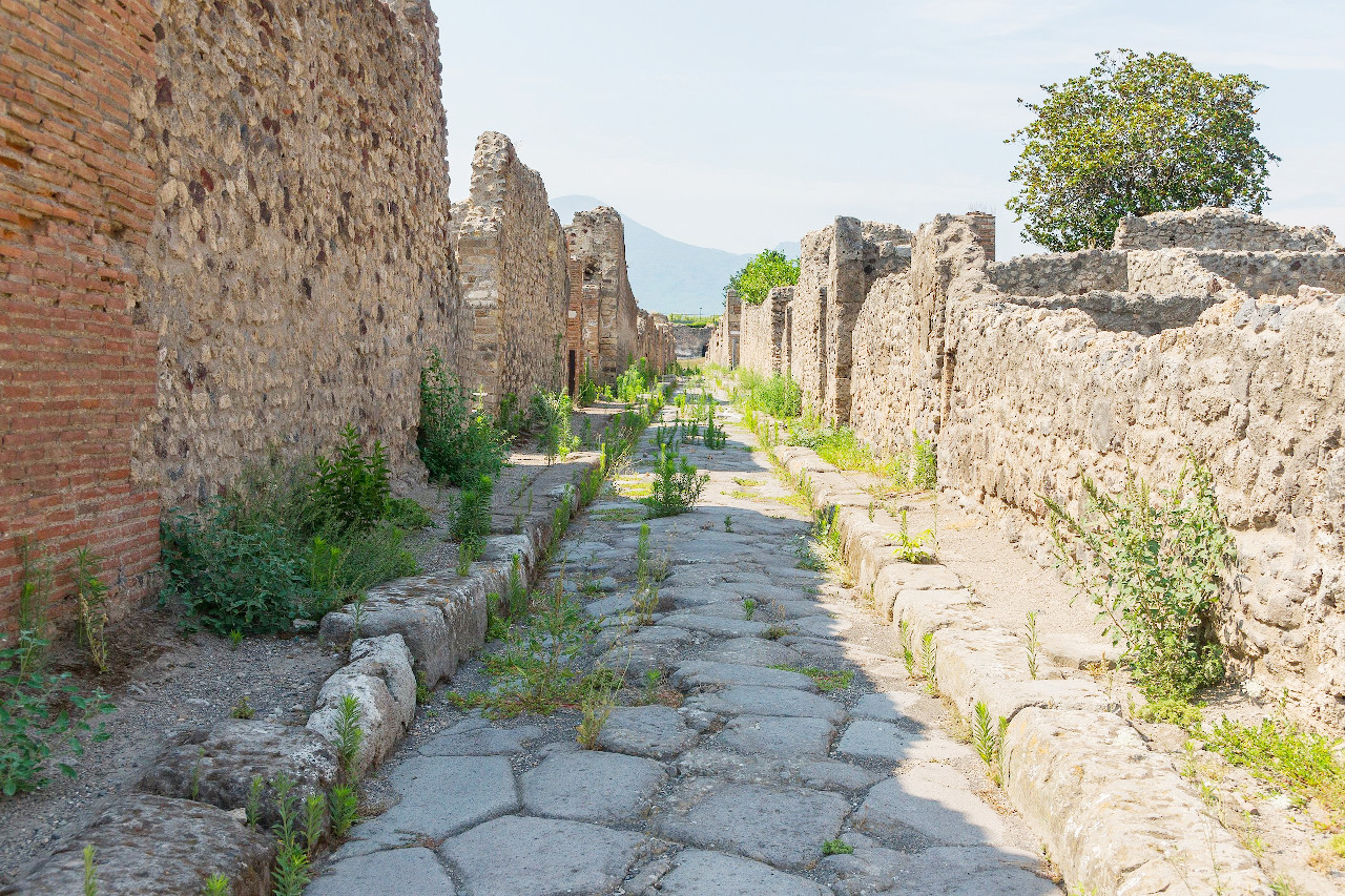
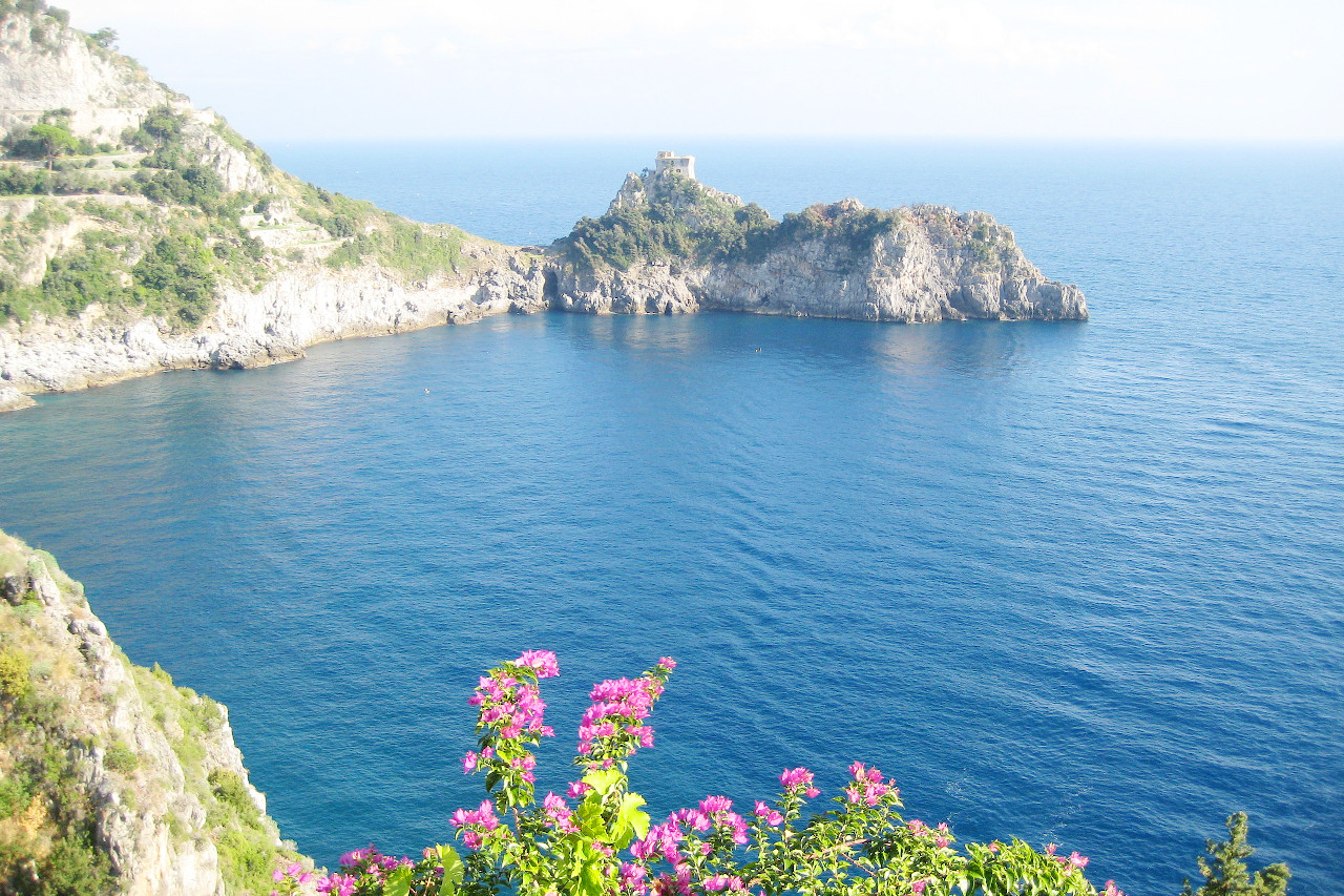
Campania is famed above all for the Bay of Naples, one of the most beautiful bays in the world. The detached volcanic cone of Vesuvius (1,281 m / 4,203 ft) towers over the city of Naples. At the foot of Mount Vesuvius, at a depth of from 20 to 30 meters (65 to 100 feet), lies Herculaneum that was buried under torrents of lava in the year 79. Farther to the east are the ruins of Pompeii, buried also by the eruption, but contrary to what happened at Herculaneum, Pompeii was buried under ash, and now the town is almost entirely unearthed.
What is the nature of Campania like?
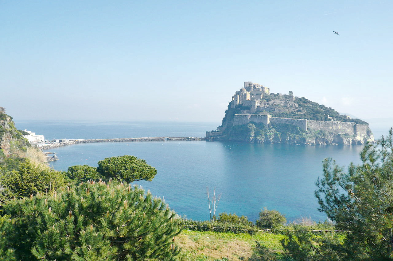
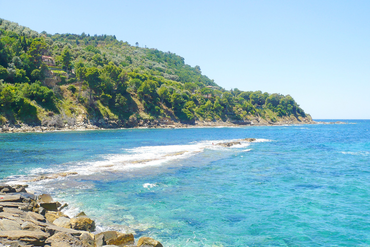
The protected natural areas of Campania occupy one quarter of the entire region and mostly cover the mountains and hilly plains. The protected areas include two national parks: Vesuvius National Park and the National Park of Cilento and Vallo di Diano, the latter important for its large size. Among the most important and famous coasts, for nature, beauty and culture, are the Amalfi Coast are the Cilentan Coast. The Campanian archipelago is made up of three main islands, Ischia, Capri and Procida, famous all over the world for their natural beauties.
What is the climate of Campania like?
The coastal regions of Campania have a mild climate influenced by the presence of the sea. Inland the mountains dominate the climate, and there are cold temperatures in winter accompanied by snowfall. In summer there can be high temperatures and there are long days of sunshine, but both the mountains and the influence of the sea make the heat more bearable. Rainfall is plentiful since much of the region is exposed to the moist winds of the Atlantic.
| Climate data for Naples (1971–2000) | |||||||||||||
|---|---|---|---|---|---|---|---|---|---|---|---|---|---|
| Month | Jan | Feb | Mar | Apr | May | Jun | Jul | Aug | Sep | Oct | Nov | Dec | Year |
| Average high °C (°F) | 13.0 (55.4) | 13.1 (55.6) | 15.6 (60.1) | 17.4 (63.3) | 23.0 (73.4) | 26.5 (79.7) | 29.8 (85.6) | 30.8 (87.4) | 26.8 (80.2) | 22.7 (72.9) | 17.3 (63.1) | 14.3 (57.7) | 20.9 (69.6) |
| Daily mean °C (°F) | 8.7 (47.7) | 8.8 (47.8) | 11.0 (51.8) | 12.9 (55.2) | 17.8 (64.0) | 21.3 (70.3) | 24.3 (75.7) | 24.9 (76.8) | 21.4 (70.5) | 17.1 (62.8) | 12.5 (54.5) | 9.9 (49.8) | 15.9 (60.6) |
| Average low °C (°F) | 4.4 (39.9) | 4.5 (40.1) | 6.3 (43.3) | 8.4 (47.1) | 12.6 (54.7) | 16.2 (61.2) | 18.8 (65.8) | 19.1 (66.4) | 16.0 (60.8) | 12.1 (53.8) | 7.8 (46.0) | 5.6 (42.1) | 11.0 (51.8) |
| Average precipitation mm (inches) | 92.1 (3.63) | 95.3 (3.75) | 77.9 (3.07) | 98.6 (3.88) | 59.0 (2.32) | 32.8 (1.29) | 28.5 (1.12) | 35.5 (1.40) | 88.9 (3.50) | 135.5 (5.33) | 152.1 (5.99) | 112.0 (4.41) | 1,008.2 (39.69) |
| Source: Servizio Meteorologico | |||||||||||||
 View of the submerged Roman harbor at Castellabate, Salerno province
The official websites
Campania
The happy countryside
| Location: | Southwest Italy |
| Coordinates: | 41° 00′ N, 14° 45′ E |
| Size: | • 170 km N-S; 175 km E-W • 105 miles N-S; 110 miles E-W |
| Terrain: | Hills and mountains. Some of the highest peaks in the southern Apennines are found in Campania, as is the volcano Vesuvius. Some large coastal plains |
| Climate: | Hot, dry summers, especially along the coasts. Cooler in mountainous areas with winter snowfalls |
| Highest point: | La Gallinola 1,923 m |
| Forest: | 34% (2010 est.) (source) |
| Population: | 5,869,029 (2019) |
| Population density: | High (430/km²) |
| Capital: | Napoli (English: Naples) |
| Languages: | Italian |
| Human Development Index: | Very High (0.854) |