The Geography of
Apulia
Why visit Puglia?
Apulia (Puglia) is a broad and extensive land, composed partly of level plains, but for the most part of undulating downs, contrasting strongly with the mountain ranges of the Apennines which rise abruptly above them. This region has a mild climate, wonderfully fertile in some parts, albeit dry. Boundless cornfields cover the ground, which, green in winter and already yellow in spring, become parched with the heat of summer.
Contents
Map
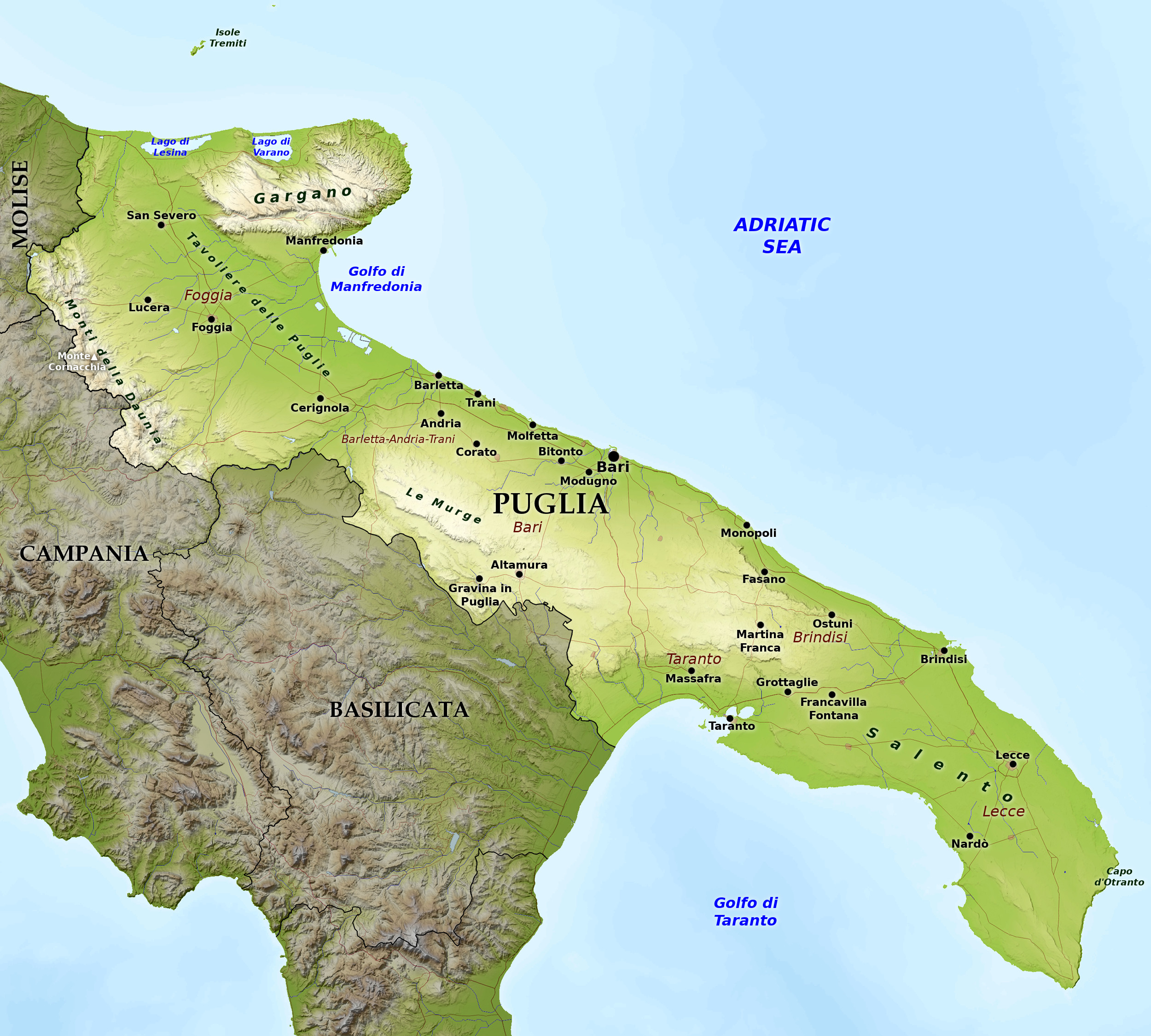 Relief map of Apulia
What is the landscape of Puglia like?
.jpg&oldid=246045349)
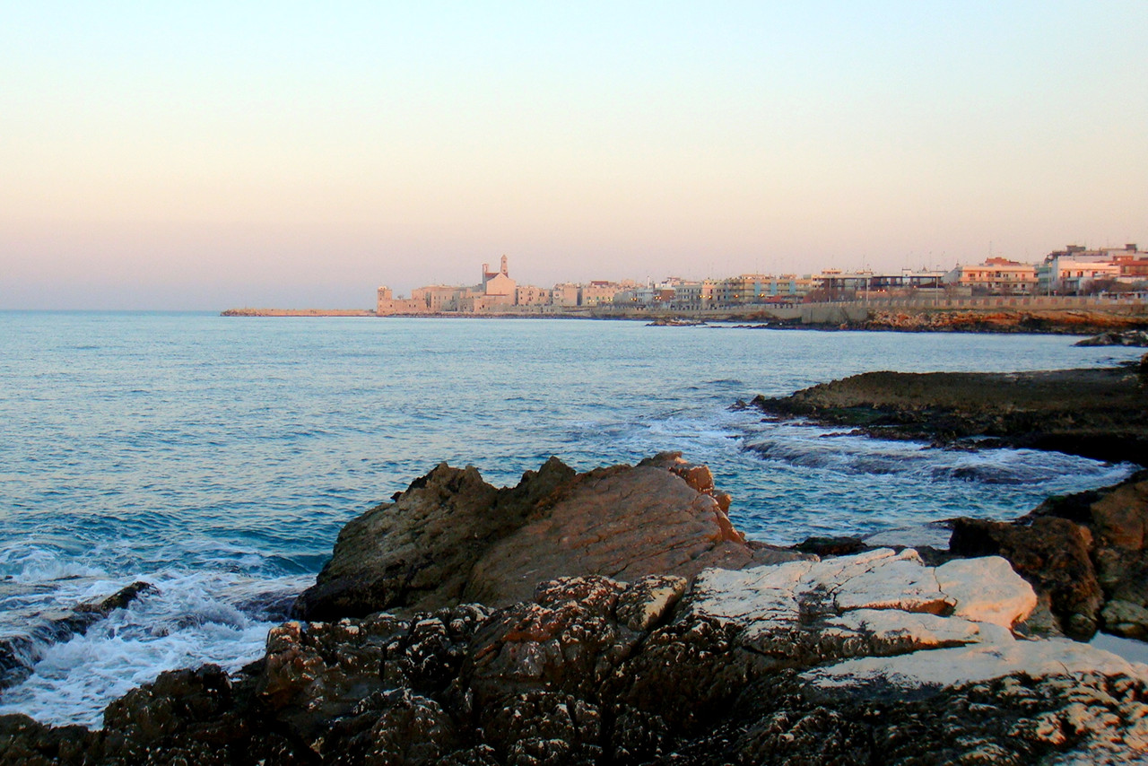
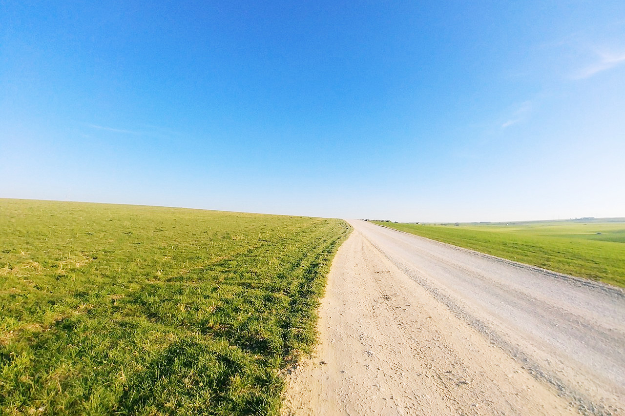
Apulia occupies the southeastern point of Italy, the "heel" of the "boot." Running lengthwise from the northwest to the southeast, all of Apulia's northeast side faces the Adriatic Sea. To the southeast, the coastline swings around to the west at Cape Santa Maria di Leuca and heads up along the shores of the Ionian Sea and the Gulf of Taranto to the border with Basilicata. Apulia is Italy's flattest region. Less than 2 percent of it is mountains; the remainder is divided between hills and plains.
Around Foggia is great plain called the Tavoliere delle Puglie, and beyond that the Daunia—western hills that extend from the Apennines. Northeast of Foggia is the Gargano Peninsula, the "spur" of Italy's "boot", a detached limestone mountain mass which projects in a bold spur-like promontory into the Adriatic. It forms the only break in the otherwise uniform east coast; considerable lagoons lie on the north coast of this peninsula. Southeast from of here is a long low coast strip along which are the majority of the towns. Behind Bari is a hilly district dominated by the Murge plateau, which descends again into the "heel" of Southern Italy. This is a low flat terrace of stony dry fields which extends to the Capo Santa Maria di Leuca, the south-east extremity of Italy.
What is the nature of Puglia like?
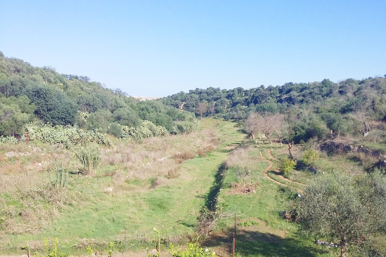
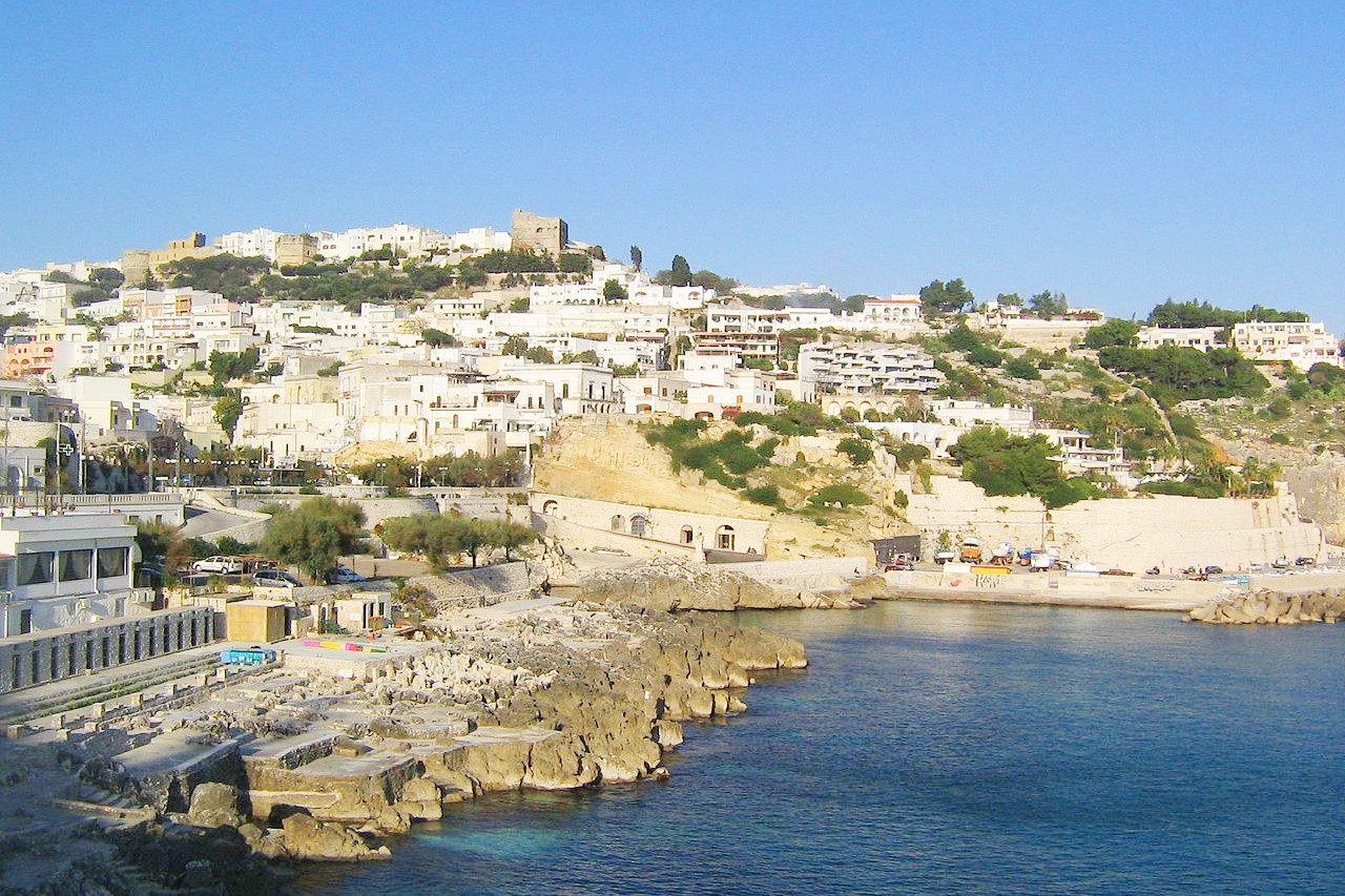
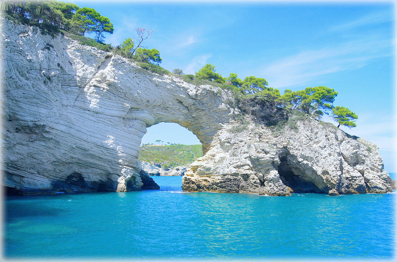
Apulia is a great agricultural region of Italy where wheat, tomatoes, almonds, and olives are grown. Vineyards can be found in all parts of Apulia, making it one of Italy's top grape-growing regions. Coastal lagoons are found on the northern coast, whereas further south the coast is low and sandy with large stretches of dunes. In the far south, around the Cape of Otranto, the coast is high and rocky with cliffs overlooking the sea.
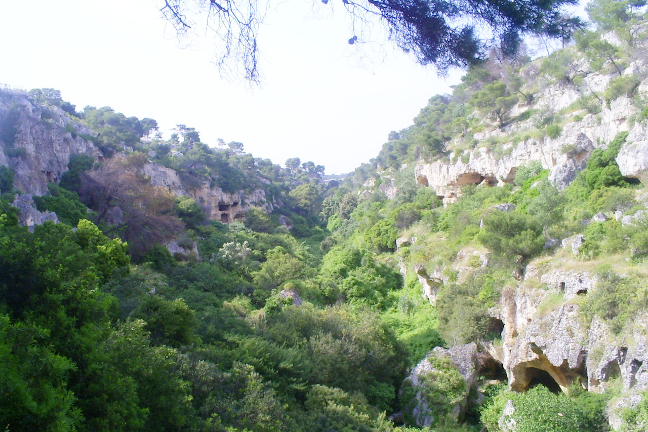
Some parts of Apulia especially in the national park of Gargano, and the mountains of Daunia are heavily forested. The vegetation of the Murge plateau has a succession of rocky formations, dense forests and expanses of steppe.
What is the climate of Puglia like?
In Apulia the climate is typically Mediterranean: the plains and coastal areas have hot summers, whereas winters are windy, dry, and mild. Winter snow is not uncommon in the plains, and more frequent in the hills and the Murge plateau. Apulia is among the hottest and driest regions of Italy in summer with temperatures sometimes reaching up to and above 40°C (104°F). Rain, concentrated during late autumn and winter, is always slight and most common on the plains.
| Climate data for Bari (1971–2000) | |||||||||||||
|---|---|---|---|---|---|---|---|---|---|---|---|---|---|
| Month | Jan | Feb | Mar | Apr | May | Jun | Jul | Aug | Sep | Oct | Nov | Dec | Year |
| Average high °C (°F) | 12.6 (54.7) | 12.9 (55.2) | 15.0 (59.0) | 18.0 (64.4) | 22.8 (73.0) | 26.8 (80.2) | 29.2 (84.6) | 29.2 (84.6) | 25.9 (78.6) | 21.5 (70.7) | 16.8 (62.2) | 13.9 (57.0) | 20.4 (68.7) |
| Daily mean °C (°F) | 8.8 (47.8) | 8.9 (48.0) | 10.7 (51.3) | 13.3 (55.9) | 17.8 (64.0) | 21.8 (71.2) | 24.3 (75.7) | 24.3 (75.7) | 21.1 (70.0) | 17.1 (62.8) | 12.7 (54.9) | 10.1 (50.2) | 15.9 (60.6) |
| Average low °C (°F) | 4.9 (40.8) | 4.8 (40.6) | 6.3 (43.3) | 8.6 (47.5) | 12.9 (55.2) | 16.7 (62.1) | 19.3 (66.7) | 19.4 (66.9) | 16.3 (61.3) | 12.6 (54.7) | 8.6 (47.5) | 6.2 (43.2) | 11.4 (52.5) |
| Average precipitation mm (inches) | 53.7 (2.11) | 64.2 (2.53) | 42.0 (1.65) | 40.5 (1.59) | 34.9 (1.37) | 23.3 (0.92) | 25.4 (1.00) | 30.4 (1.20) | 59.7 (2.35) | 61.5 (2.42) | 72.7 (2.86) | 54.3 (2.14) | 562.6 (22.14) |
| Source: Servizio Meteorologico | |||||||||||||
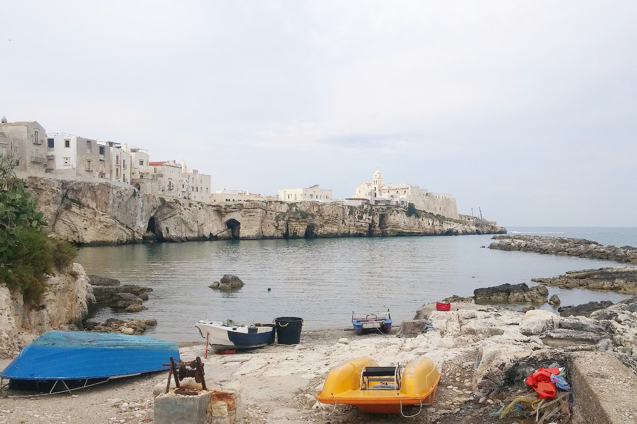
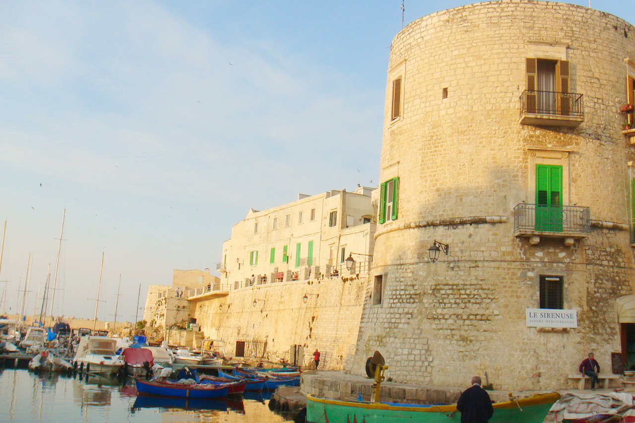 Harbour of Giovinazzo, province of Bari
The official websites
Puglia
Beautiful Puglia
| Location: | Southeast Italy |
| Coordinates: | 41° 00′ N, 16° 45′ E |
| Size: | • 240 km N-S; 305 km E-W • 150 miles N-S; 190 miles E-W |
| Terrain: | Hills and plains. The north includes the rocky Gargano peninsula and hills that extend from the Apennines. The middle and south is flatlands and plateaus |
| Climate: | The coasts and plains have hot, windy and dry summers and mild winters. Rain is concentrated during late autumn and winter, with snow on the hills |
| Highest point: | Monte Cornacchia 1,152 m |
| Forest: | 9% (2010 est.) (source) |
| Population: | 4,063,888 (2012) |
| Population density: | High (210/km²) |
| Capital: | Bari |
| Languages: | Italian |
| Human Development Index: | Very High (0.854) |