.JPG)
.JPG&oldid=450144283)
.jpg)
.jpg&oldid=481042292)
The Geography of
Friuli–Venezia Giulia
Why visit Friuli-Venezia Giulia?
The northeastern corner of Italy is the Friuli–Venezia Giulia region. This is a beautiful border region rich in history and culture. The coastline is a continuation of the lagoons for which Veneto is famous. The north contains the Carnic and Julian Alps which continue on into Slovenia.
Contents
Map
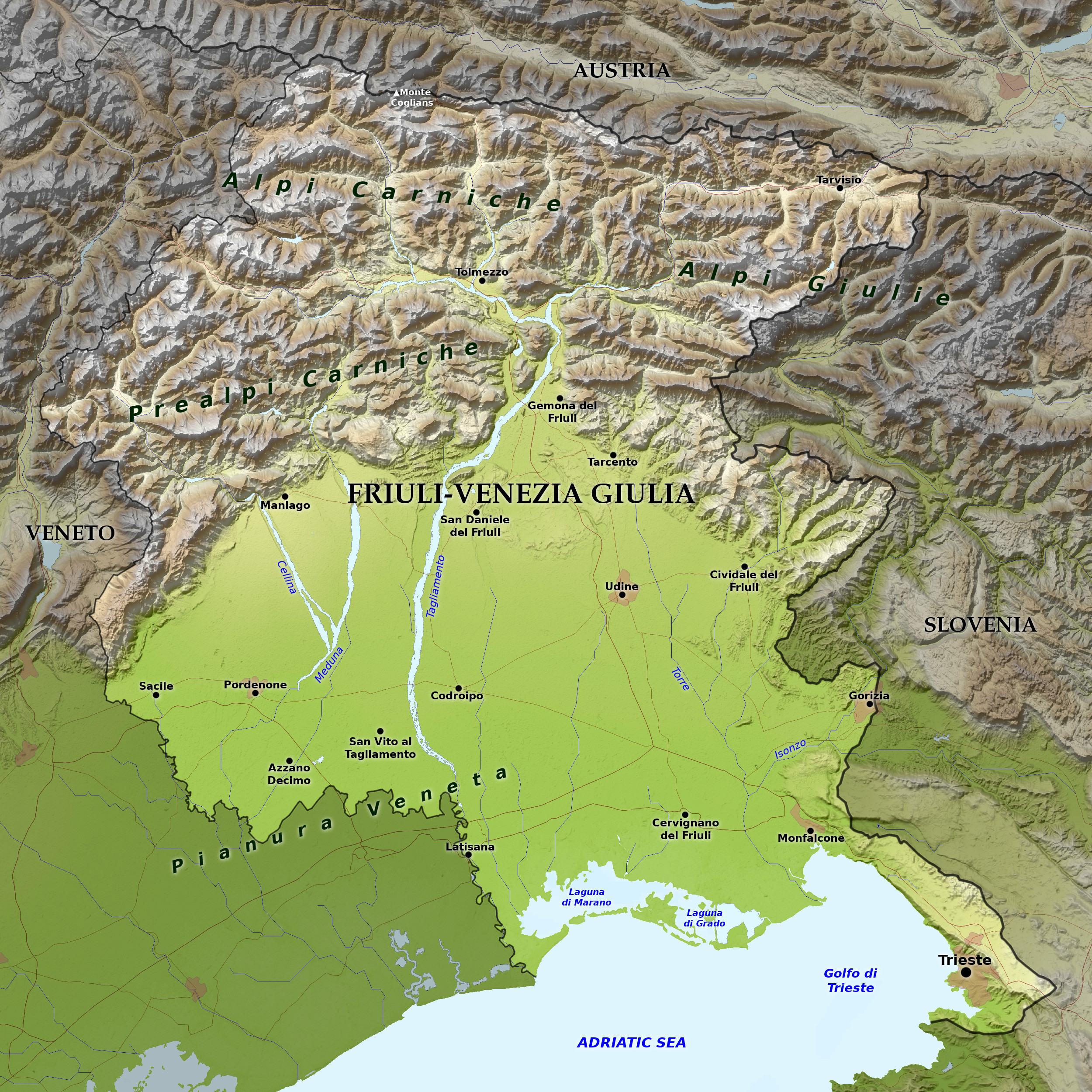 Relief map of Friuli-Venezia Giulia
What is the landscape of Friuli-Venezia Giulia like?
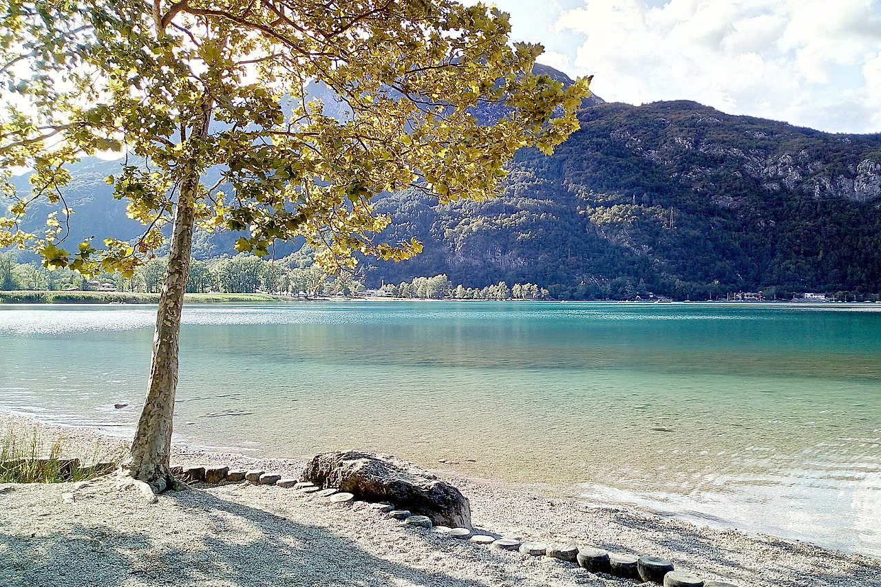
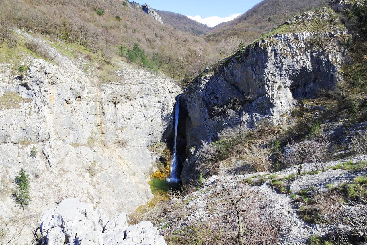
The Friuli–Venezia Giulia region forms the northeastern corner of Italy. The region is one of sharp contrasts within short distances. Friuli–Venezia Giulia is divided into zones of mountains, hills, and plains. The Adriatic shore and coastal plain form the region's southern and southwestern features; much of its north and northeast is Alpine or pre-Alpine. The highest mountains are the Carnic Alps along the Austrian border, with Monte Coglians the tallest peak (2,780 m / 9,120 feet).
In the northeast, along the border with Slovenia, are the Julian Alps, with Monte Mangart at (2,679 m / 8,789 feet) and the Jôf di Montasio (2 754 m / 9,029 feet). Another important peak is the Cima dei Preti (2,703 m / 8,868 feet) on the Veneto border. It lies within a regional nature reserve that encompasses much of the Carnic Prealps.
What is the nature of Friuli-Venezia Giulia like?
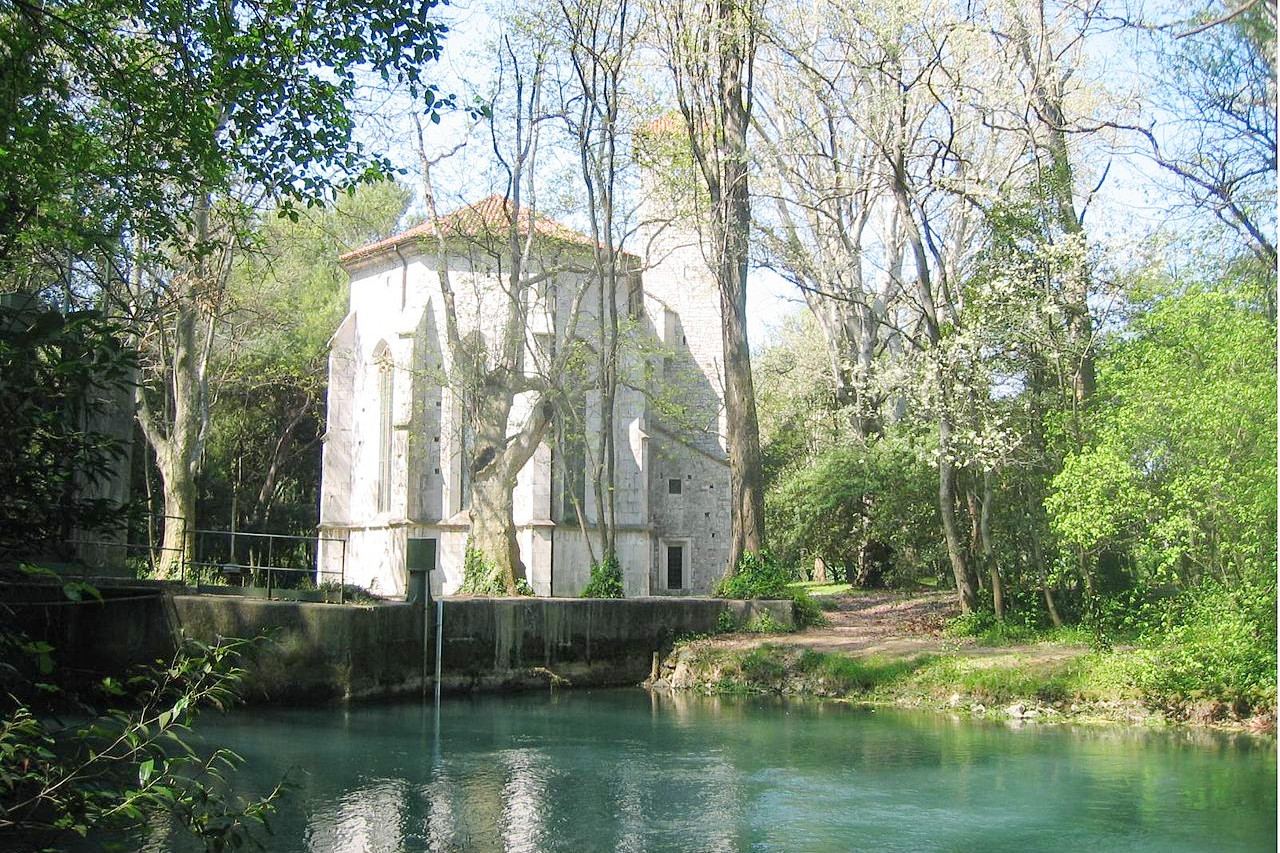
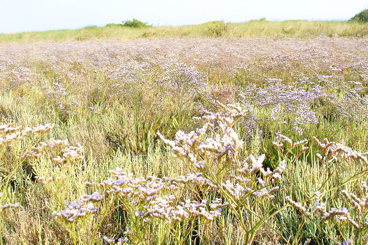
The coastal areas of Friuli–Venezia Giulia are known for the lagoons with salt-marshes; here the vegetation is of shrubby or herbaceous type, with occasional pine forests. The inland plains are a great farming region with few trees (poplars, hornbeams and ash trees are the most common species).
The central pre-alpine hills have a great variety of flowers and plants typical both of the Po Valley area and of central-eastern Europe. The woodland area, not very extensive, is rich in oak and birch trees (hornbeams in particular), but also linden trees, elms and maples. The alpine areas have, at the lower altitudes, larch and fir woods, and at higher altitudes alders and other mountain trees.
What is the climate of Friuli-Venezia Giulia like?
The climate of Friuli–Venezia Giulia ranges from a Mediterranean climate in the coastal areas, to a humid temperate climate in the plains and hills, and then to an alpine climate in the mountains. The mildest region is the coastal area near Trieste. This stretch of coastline enjoys one of the driest climates in Italy and in winter is significantly milder than the rest of the region. The mountains have a colder and more rainy climate with winter snow, and some of the coldest winter temperatures in Italy can be found here.
| Climate data for Udine (1971–2000) | |||||||||||||
|---|---|---|---|---|---|---|---|---|---|---|---|---|---|
| Month | Jan | Feb | Mar | Apr | May | Jun | Jul | Aug | Sep | Oct | Nov | Dec | Year |
| Average high °C (°F) | 7.7 (45.9) | 9.8 (49.6) | 13.5 (56.3) | 17.1 (62.8) | 22.3 (72.1) | 25.6 (78.1) | 28.2 (82.8) | 28.4 (83.1) | 24.1 (75.4) | 18.6 (65.5) | 12.6 (54.7) | 8.5 (47.3) | 18.0 (64.4) |
| Daily mean °C (°F) | 3.7 (38.7) | 5.0 (41.0) | 8.4 (47.1) | 12.0 (53.6) | 17.1 (62.8) | 20.3 (68.5) | 22.7 (72.9) | 22.6 (72.7) | 18.7 (65.7) | 13.7 (56.7) | 8.2 (46.8) | 4.5 (40.1) | 13.1 (55.6) |
| Average low °C (°F) | −0.4 (31.3) | 0.3 (32.5) | 3.4 (38.1) | 7.0 (44.6) | 11.8 (53.2) | 15.0 (59.0) | 17.1 (62.8) | 16.9 (62.4) | 13.3 (55.9) | 8.8 (47.8) | 3.7 (38.7) | 0.5 (32.9) | 8.1 (46.6) |
| Average precipitation mm (inches) | 74.9 (2.95) | 61.6 (2.43) | 86.2 (3.39) | 119.0 (4.69) | 118.2 (4.65) | 137.9 (5.43) | 81.2 (3.20) | 79.1 (3.11) | 124.3 (4.89) | 134.5 (5.30) | 108.1 (4.26) | 85.9 (3.38) | 1,210.9 (47.67) |
| Source: Servizio Meteorologico | |||||||||||||
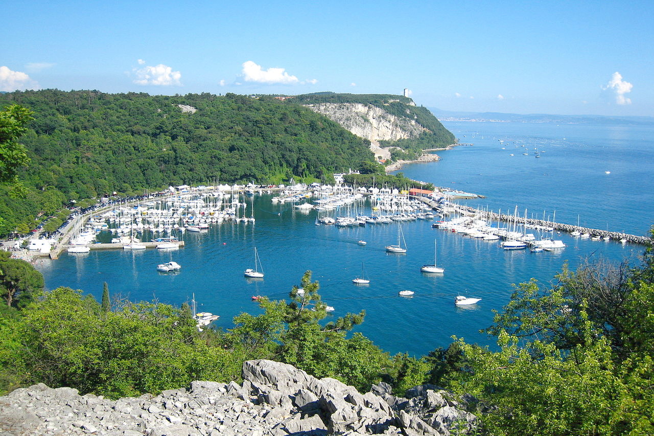 The bay of Sistiana near Trieste
The official websites
Friuli–Venezia Giulia
A region for everyone
| Location: | Northeast Italy |
| Coordinates: | 46° 00′ N, 13° 00′ E |
| Size: | • 120 km N-S; 120 km E-W • 75 miles N-S; 75 miles E-W |
| Terrain: | Alpine mountains in the north. The south is a coastal plain except in the southeast |
| Climate: | A Mediterranean climate in the coastal areas: hot summers, and mild winters. The mountains have an alpine climate with winter snow |
| Highest point: | Monte Coglians 2,780 m |
| Forest: | 40% (2010 est.) (source) |
| Population: | 1,216,524 (2017) |
| Population density: | Medium (150/km²) |
| Capital: | Trieste |
| Languages: | Italian; Friulian; Slovene |
| Human Development Index: | Very High (0.903) |