The Geography of
Trentino–South Tyrol
Why visit Trentino-Alto Adige?
Trentino–South Tyrol is one of the most mountainous regions of Italy. Here, the snow-capped Alps tower over verdant valleys and placid lakes, while the warm winds from the Mediterranean produce high summer temperatures.
Contents
Map
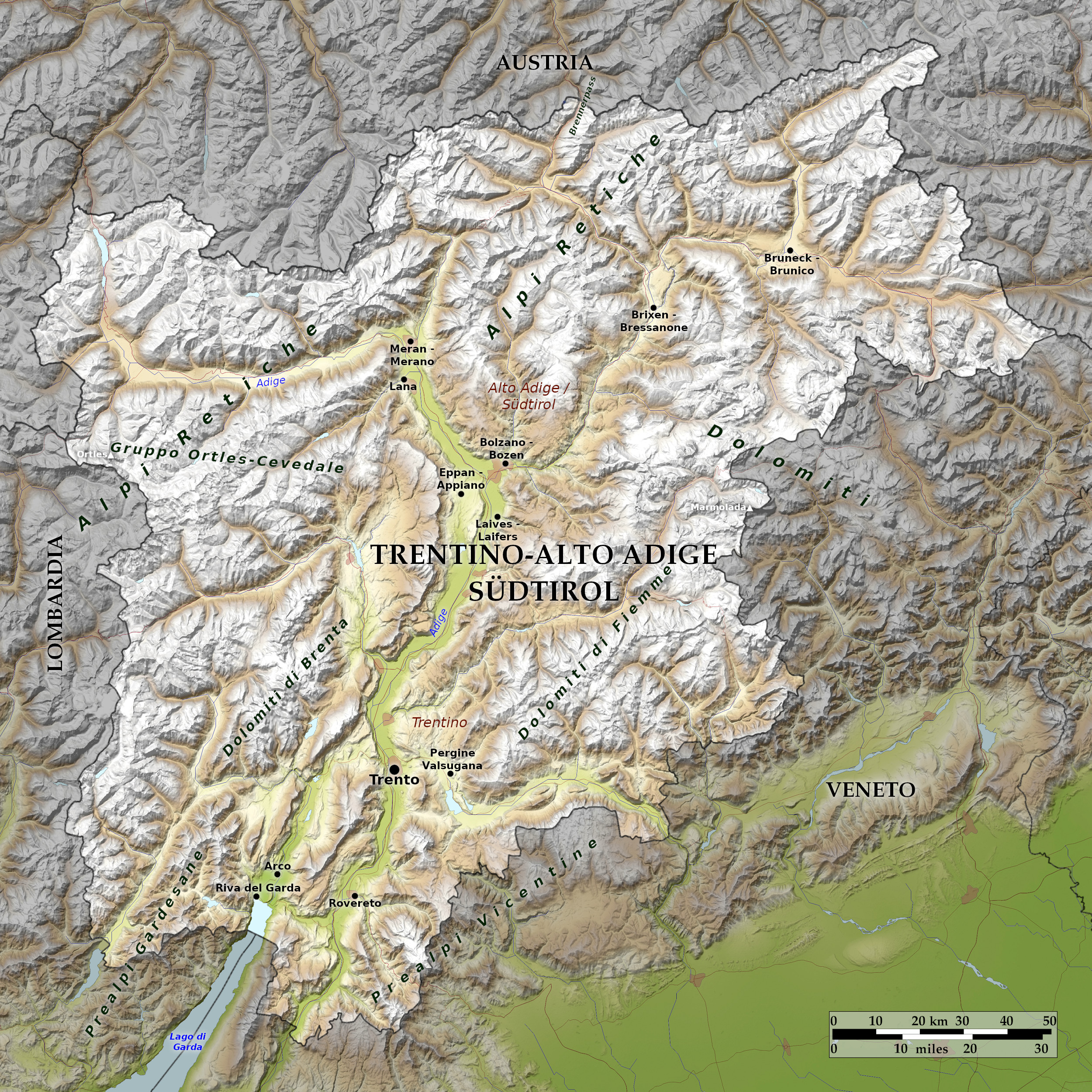 Relief map of Trentino-South Tyrol
What is the landscape of Trentino-Alto Adige like?
Trentino–South Tyrol consists of two provinces which are largely independent of one another. Trentino in the south, and South Tyrol in the north. South Tyrol was was annexed from the Austro-Hungarian Empire after the First World War. It is known in Italian as "Alto Adige" and in German as "Südtirol". Austria lies to the north, and Switzerland to the northwest.
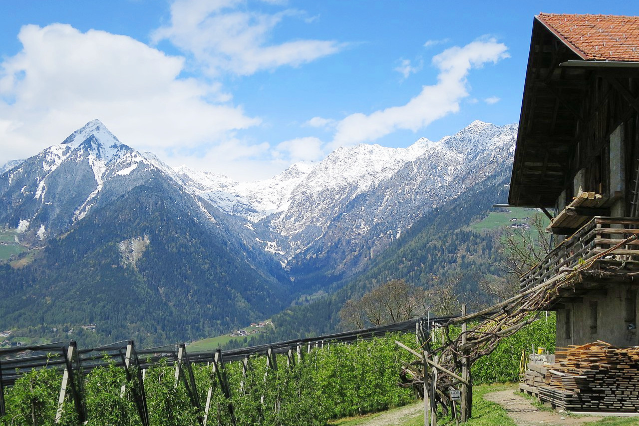
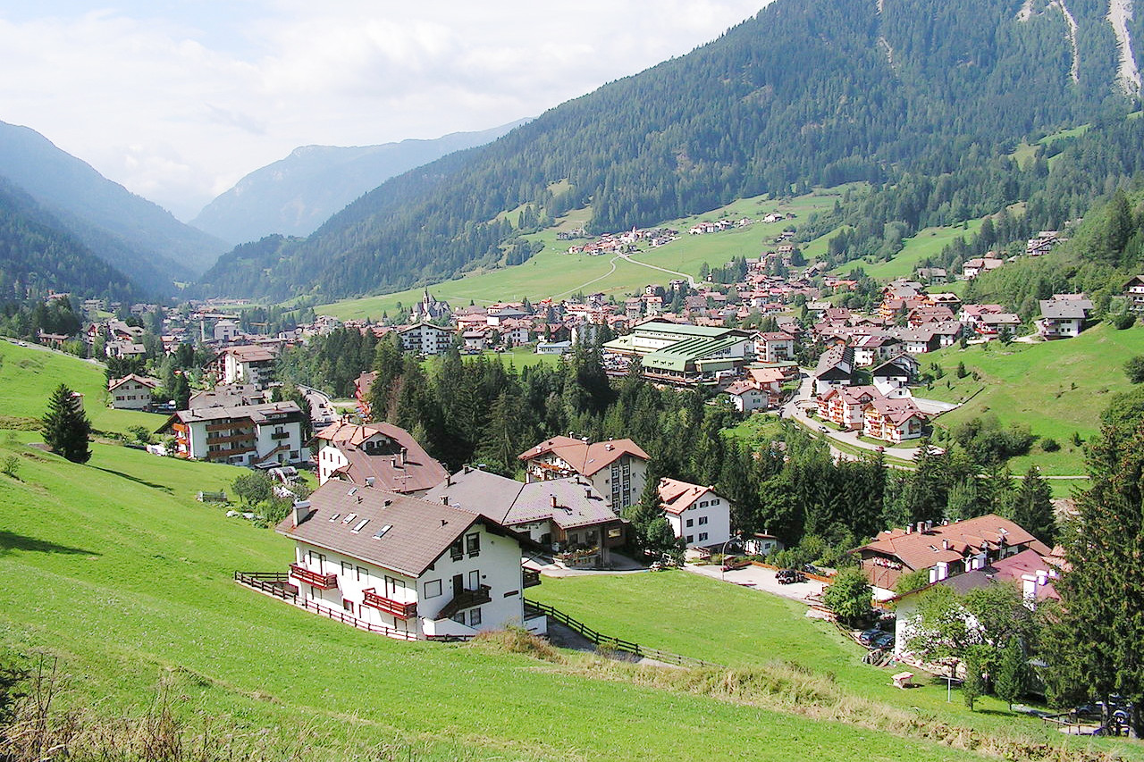
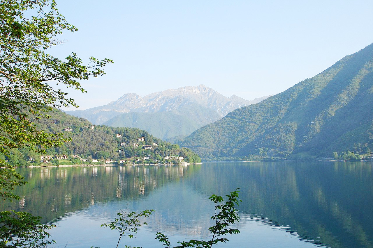
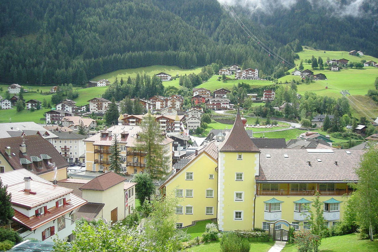
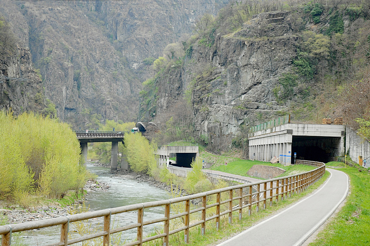
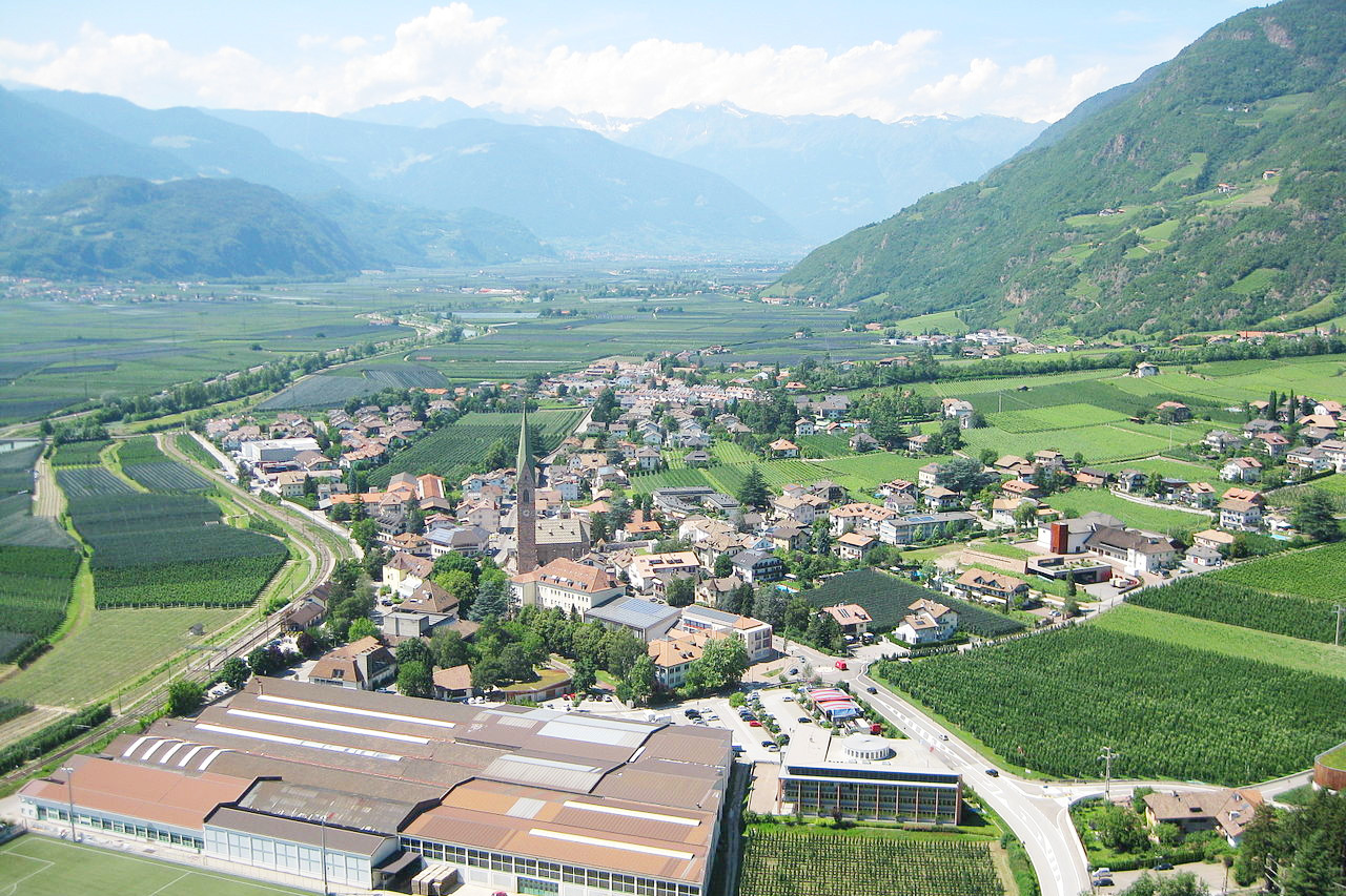
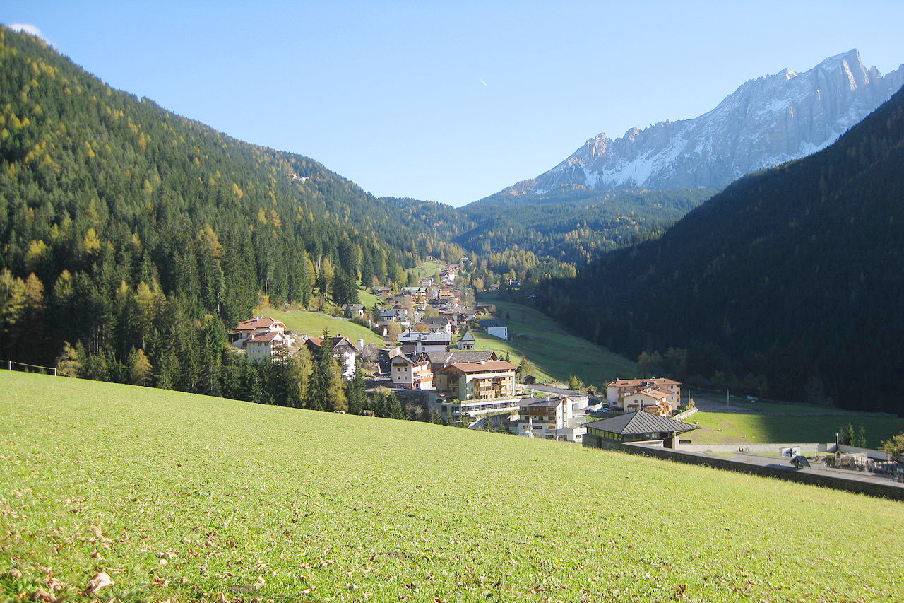
Trentino–South Tyrol is a wholly mountainous region of Italy. In the south, the region's topography begins in gentle pre-Alpine forms and ascends northward to dramatic peaks cut by river valleys. The area in the west part of the so-called Rhaetian Alps, whereas in the east the mountains are part of Dolomite range. The highest peaks include Ortler 3,905 m (12,812 feet) near the Lombard border in the west, and Marmolada 3,343 m (10,968 feet) on the Veneto border in the east. The Adige (German: "Etsch") is the main river through the Trentino–Alto Adige. It rises in and around the Lago di Resia (or "Reschensee") in the northwest. It flows east through Merano and joins with the Isarco (or "Eisack") near Bolzano, where it turns south through the Lagarina valley, Trent, and Verona until it reaches the Adriatic.
What is the nature of Trentino-Alto Adige like?
Due to the varying topography, there are many different types of flora in Trentino–South Tyrol. In the south, near Lake Garda, the natural vegetation consists of oaks, chestnuts, ash trees, and some typical Mediterranean species such as holm oaks and laurels. Vines, lemons and olive trees are also cultivated here. To the north the forests are hornbeams, beeches and maples on the lower slopes. Higher up there are spruces, larches and birches, which at high altitude give way to Alpine pastures and a sub-tundra vegetation.
What is the climate of Trentino-Alto Adige like?
The climate of Trentino–South Tyrol ranges from continental to an alpine one. In general, rainfall is highest in the south and west, and decreases towards the north and east as the Alps act as a natural barrier to the rains. In South Tyrol rain is heaviest in the summer; in Trentino rainfall peaks in spring and autumn. Winter everywhere is the driest month. Snow is prevalent in winter, but is more abundant in the mountains.
Summers are hot, and heat waves can occur in the lower valleys. Winters are harsh. In South Tyrol, and in the higher mountain areas, temperatures drop considerably below freezing, and these are among the coldest areas of Italy. In other areas the winters are also harsh, but the protective effect of the mountains and the mitigating effect of Lake Garda considerably dampens the force of winter.
| Climate data for Trento (1981–2010) | |||||||||||||
|---|---|---|---|---|---|---|---|---|---|---|---|---|---|
| Month | Jan | Feb | Mar | Apr | May | Jun | Jul | Aug | Sep | Oct | Nov | Dec | Year |
| Average high °C (°F) | 5.2 (41.4) | 9.2 (48.6) | 15.2 (59.4) | 18.5 (65.3) | 23.1 (73.6) | 26.8 (80.2) | 29.4 (84.9) | 28.3 (82.9) | 22.8 (73.0) | 16.4 (61.5) | 9.5 (49.1) | 4.9 (40.8) | 17.4 (63.3) |
| Daily mean °C (°F) | 1.6 (34.9) | 4.3 (39.7) | 9.5 (49.1) | 13.0 (55.4) | 17.6 (63.7) | 21.1 (70.0) | 23.4 (74.1) | 22.5 (72.5) | 17.8 (64.0) | 12.4 (54.3) | 5.9 (42.6) | 1.7 (35.1) | 12.6 (54.7) |
| Average low °C (°F) | −2.1 (28.2) | −0.6 (30.9) | 3.9 (39.0) | 7.6 (45.7) | 12.2 (54.0) | 15.4 (59.7) | 17.4 (63.3) | 16.7 (62.1) | 12.8 (55.0) | 8.3 (46.9) | 2.4 (36.3) | −1.5 (29.3) | 7.7 (45.9) |
| Average precipitation mm (inches) | 42.1 (1.66) | 33.9 (1.33) | 54.0 (2.13) | 78.1 (3.07) | 94.4 (3.72) | 92.4 (3.64) | 86.7 (3.41) | 83.8 (3.30) | 82.3 (3.24) | 116.8 (4.60) | 106.2 (4.18) | 65.8 (2.59) | 936.6 (36.87) |
| Average snowfall cm (inches) | 19.2 (7.6) | 9.8 (3.9) | 3.1 (1.2) | 0.3 (0.1) | 0.0 (0.0) | 0.0 (0.0) | 0.0 (0.0) | 0.0 (0.0) | 0.0 (0.0) | 0.1 (0.0) | 2.8 (1.1) | 14.3 (5.6) | 49.6 (19.5) |
| Source: Servizio Meteorologico | |||||||||||||
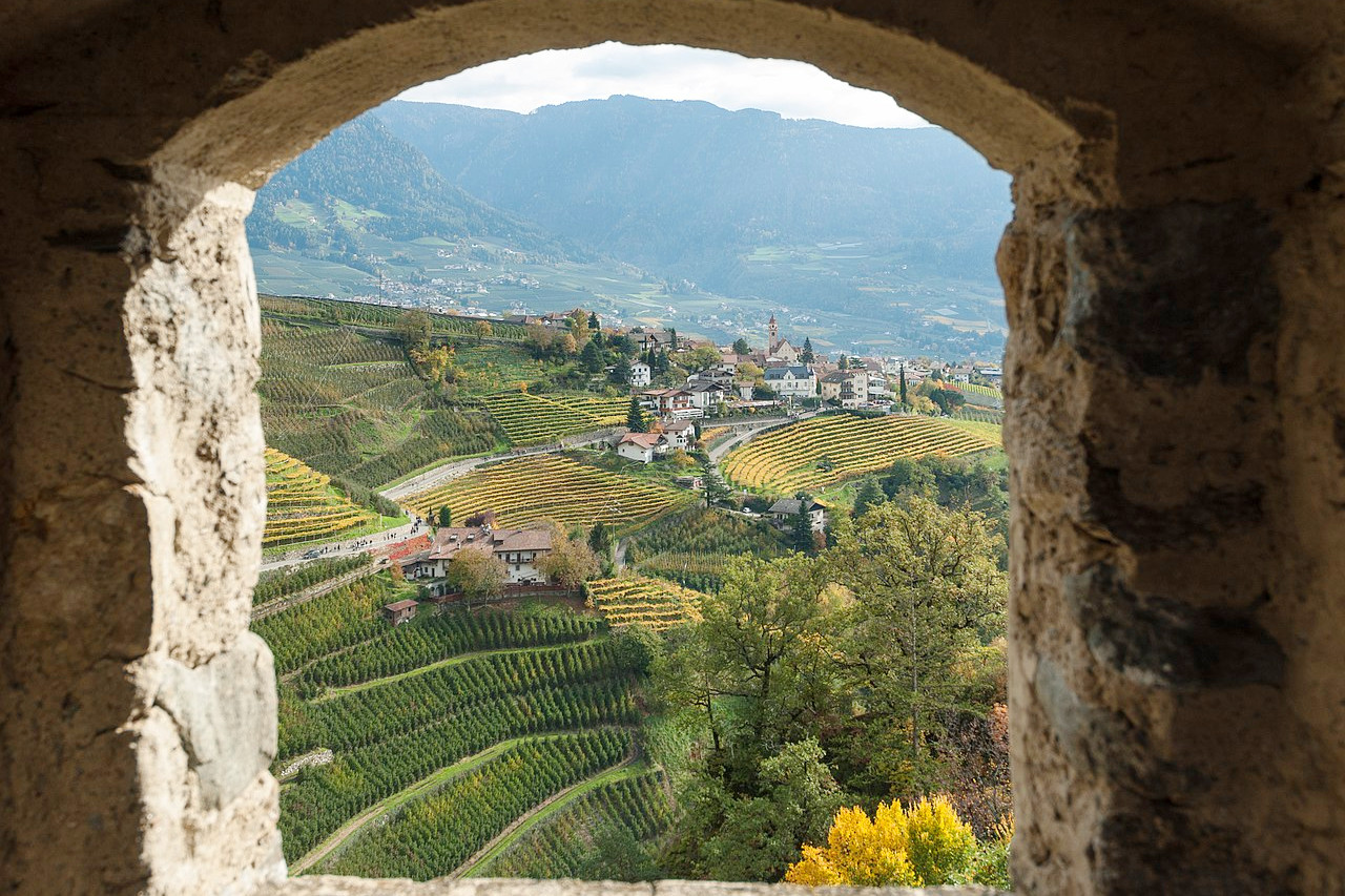 The village of Tirol seen from Tirol Castle in autumn
The official websites
Trentino–Alto Adige/Südtirol
Alpine Italy
| Location: | Northern Italy |
| Coordinates: | 46° 15′ N, 11° 15′ E |
| Size: | • 160 km N-S; 160 km E-W • 100 miles N-S; 100 miles E-W |
| Terrain: | Gentler mountain slopes in the south becoming dramatic Alpine peaks in the north |
| Climate: | A continental climate at lower levels, becoming an Alpine climate at altitude. Summers are hot in the valleys; winters are cold and snowy especially in the mountains |
| Highest point: | Ortles 3,905 m |
| Forest: | 55% (2010 est.) (source) |
| Population: | 1,072,276 (2019) |
| Population density: | Low (79/km²) |
| Capital: | Trento |
| Languages: | Italian; German |
| Human Development Index: | Very High (0.915) |