The Geography of
Lombardy
Why visit Lombardia?
Lombardy is Lakeland Italy—a string of fjord-like lakes lying at the foot of the Alps create some of the most beautiful scenery in Italy. The south occupied by the vast plains of the river Po, filled with impressive cultural and artistic sights.
Contents
Map
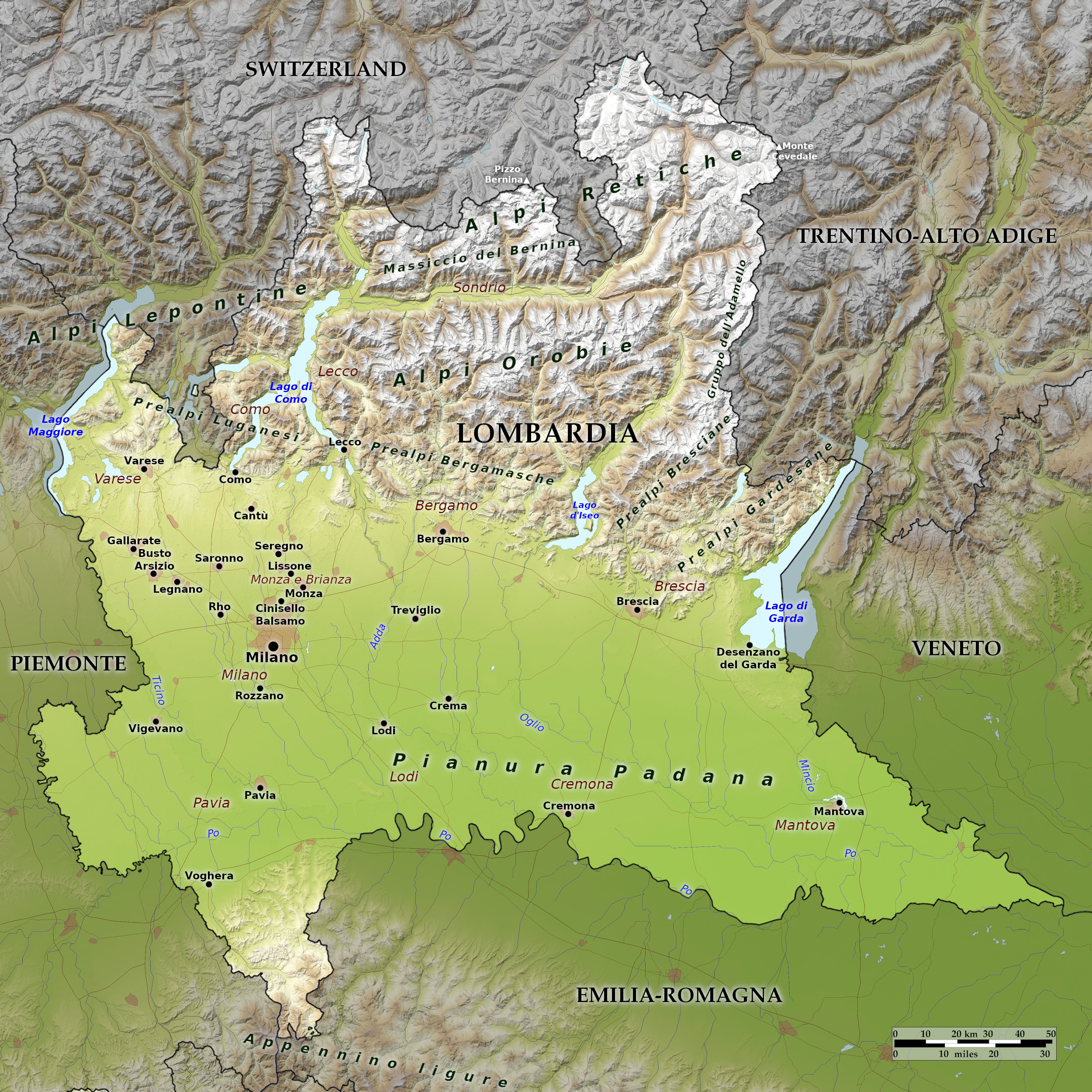 Relief map of Lombardia
What is the landscape of Lombardia like?
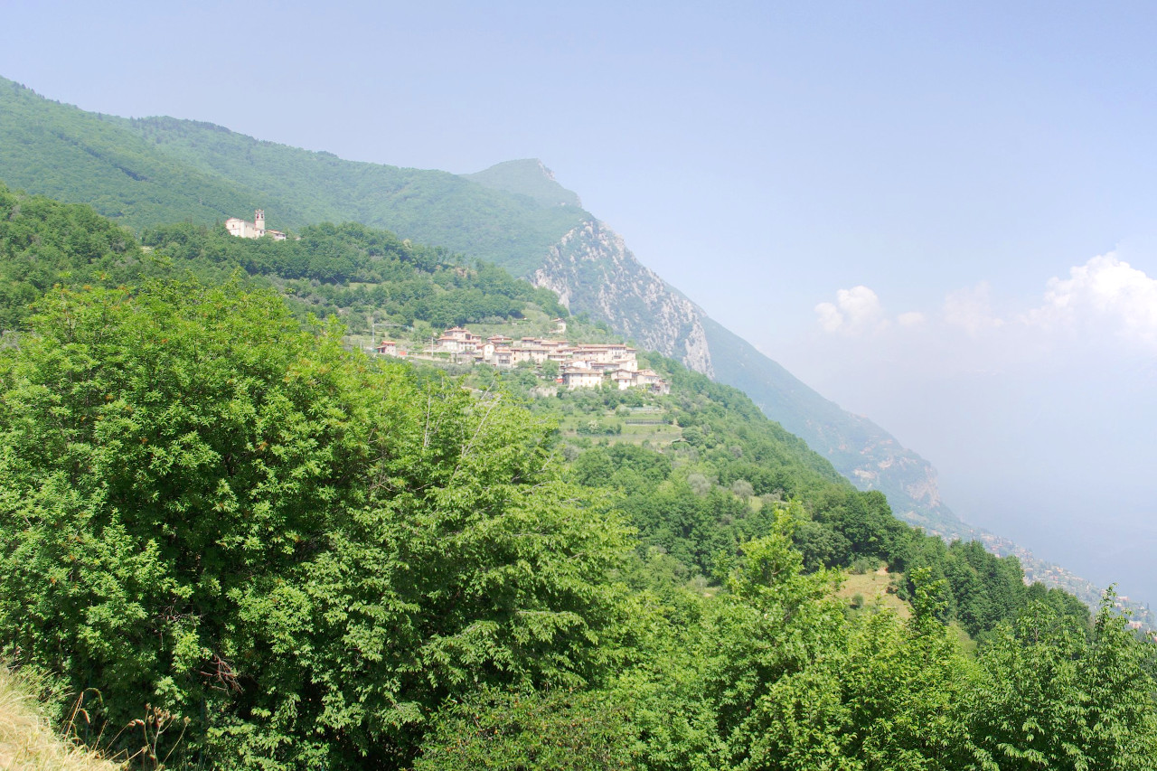
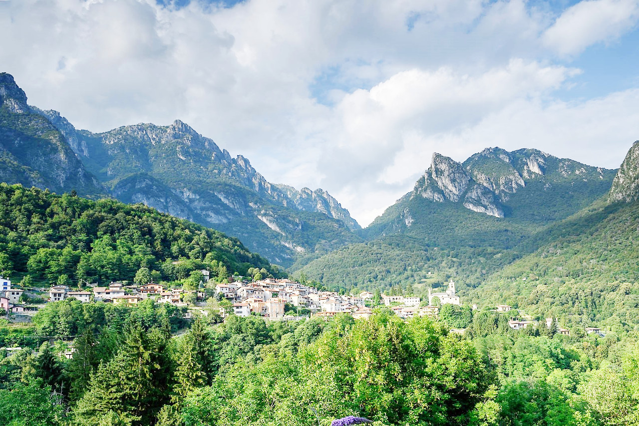
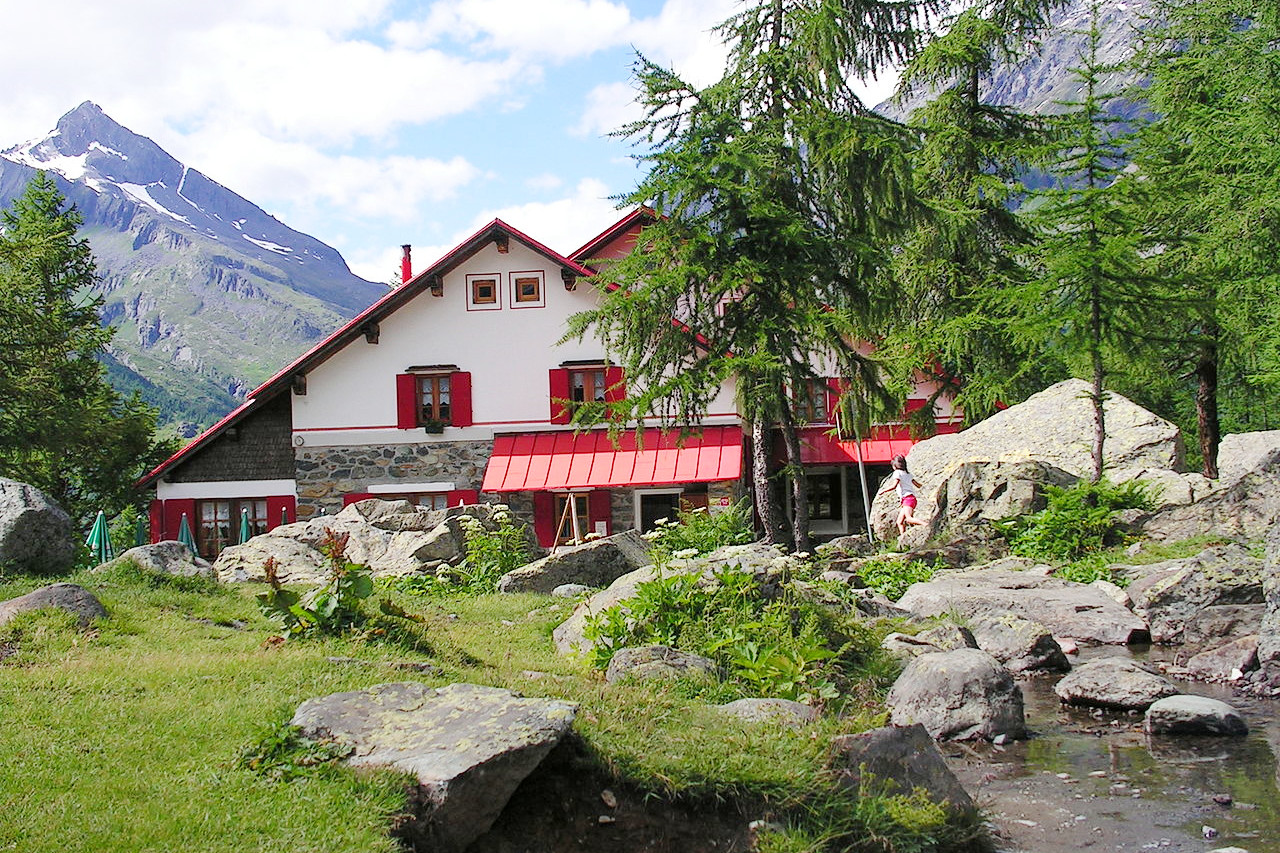
Lombardy is divided between the Alps and the Po plain: so that around half of the region is mountains or hills and half is plain. The northern half of Lombardy is Alpine or pre-Alpine mountains, from the Lepontine Alps on the Piedmont border through the Bergamasque Alps (Alpi Orobie) and the Rhaetian Alps on the eastern side, with most of its highest peaks are in the northern province of Sondrio.
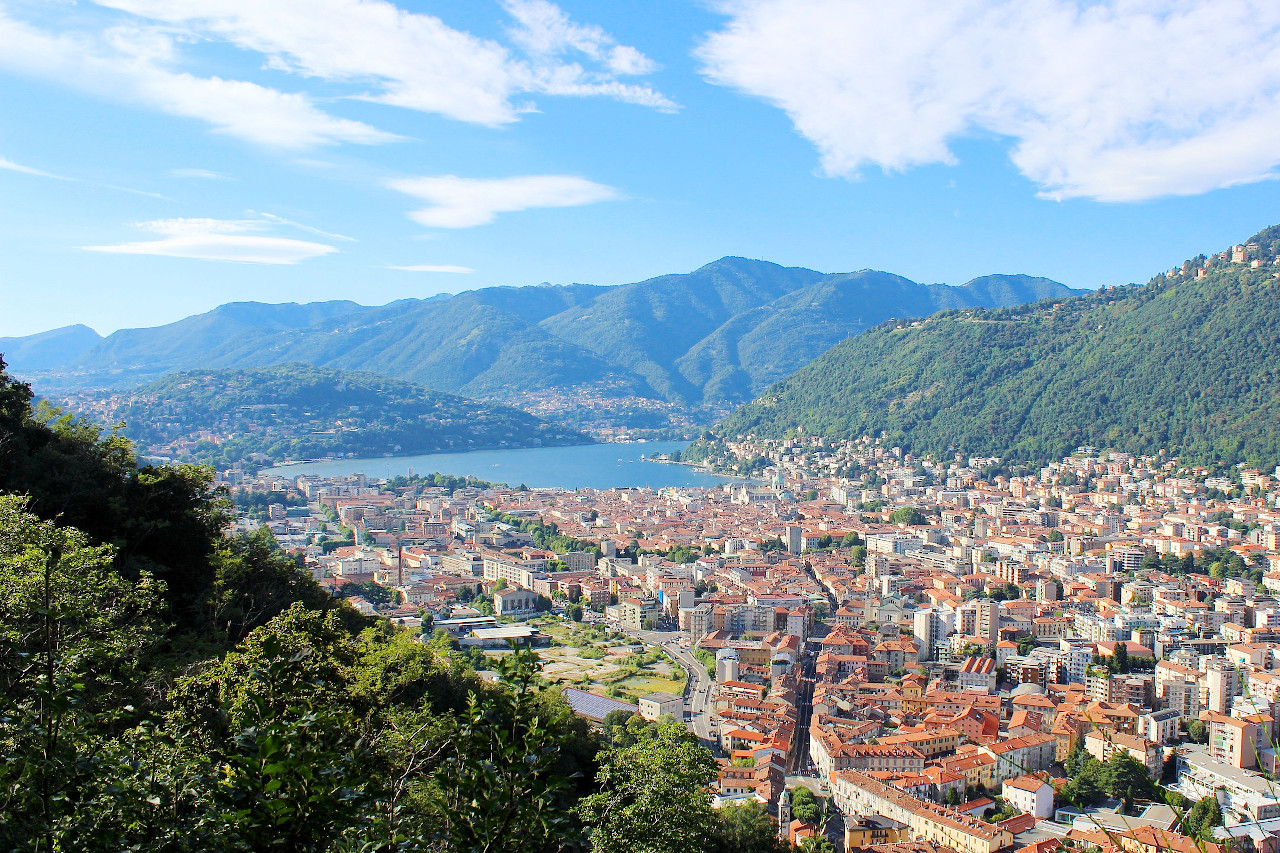
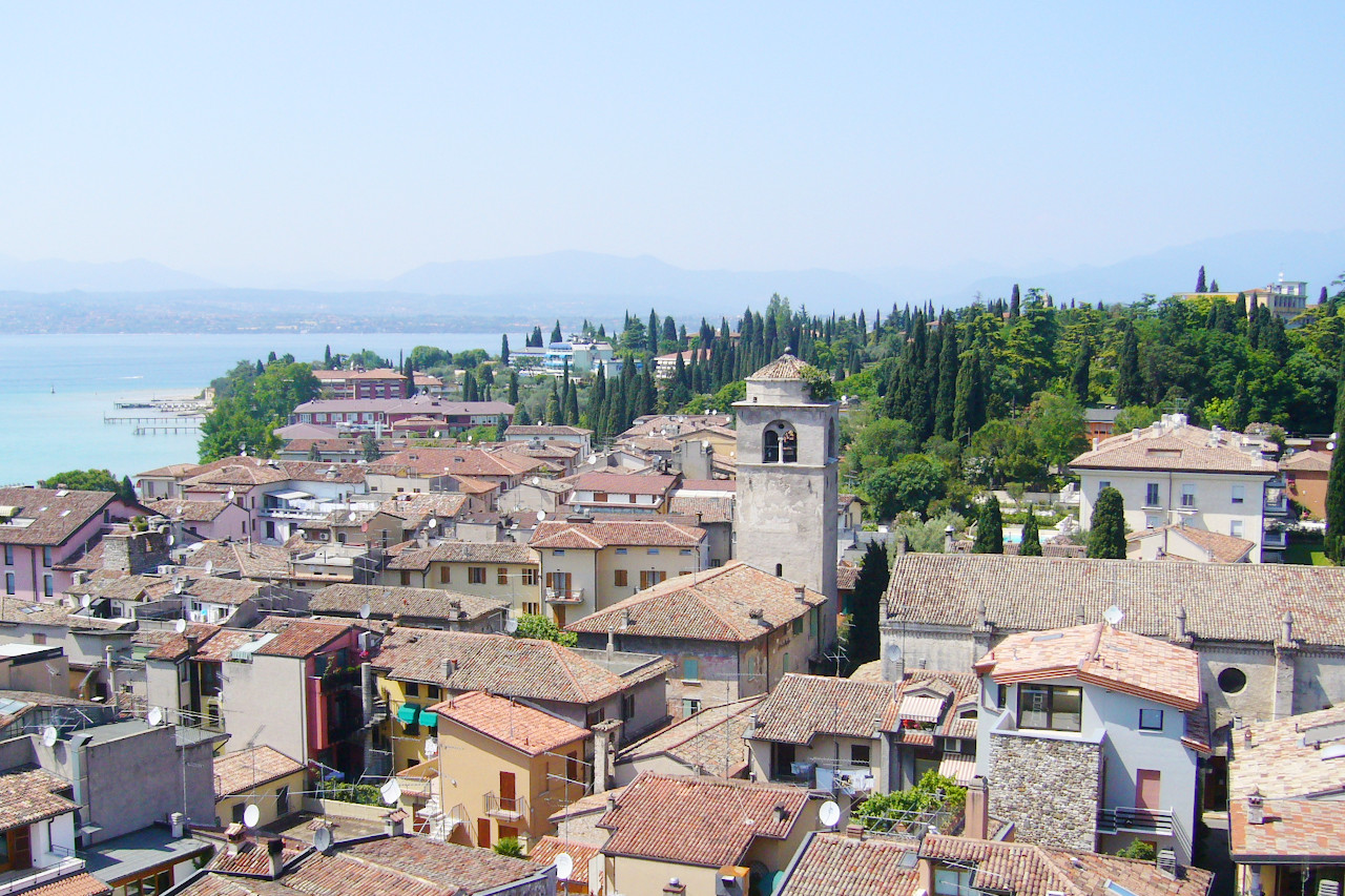
Lombardy is distinguished by a string of fjord-like lakes, long the favorites of tourists. Italy's largest lake, Lago di Garda, forms part of Lombardy's eastern border. In the west Lago Maggiore separates the region from Piedmont, and this lake also lies partly in Switzerland. Lago di Como and Lago Iseo are the largest lakes entirely within Lombardy itself. Most rivers that flow from the mountains and lakes eventually reach the Po, which serves as most of Lombardy's southern border.
What is the nature of Lombardia like?
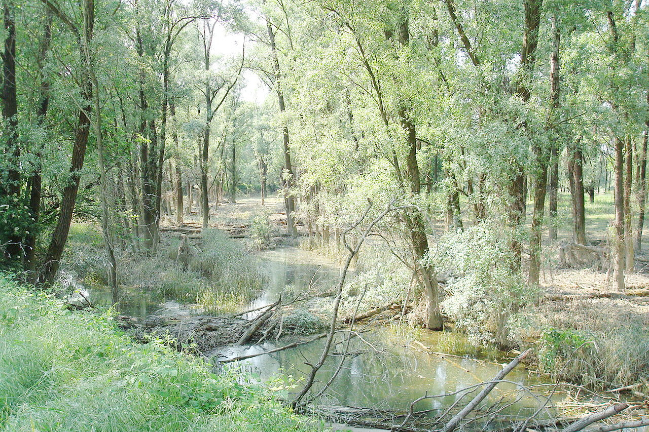
The plains of Lombardy are a great agricultural region, where forests are relatively few. The most common trees are elm, alder, sycamore, poplar, willow and hornbeam. Around the great lakes there are cypresses and larches, as well as Mediterranean flora such as magnolias, azaleas, acacias. In mountain areas human presence is less evident. Here the vegetation is Alpine: oaks and other broadleafed trees at lower levels, beech trees further up, and conifer woods up to the tree limit. Alpine shrubs such as rhododendron, dwarf pine and juniper grow at the highest levels.
What is the climate of Lombardia like?
The climate of Lombardy, as defined is mostly temperate, but very varied between the mountains, hills, lakes and plains. Generally the summer seasons in the plains are sultry (because of the high humidity) and hot. The temperature range over the year is quite large: winters are generally cold but with relatively little rain.
In the mountains, the climate is typically alpine with cool summers, abundant rainfall and long, harsh and dryish winters. Snow is abundant though on the mountains, but falls only erratically on the plains. Lombardy's large lakes help regulate the temperature of the surrounding areas, creating a "Mediterranean" microclimate that makes possible the cultivation of olives.
| Climate data for Milan (1971–2000) | |||||||||||||
|---|---|---|---|---|---|---|---|---|---|---|---|---|---|
| Month | Jan | Feb | Mar | Apr | May | Jun | Jul | Aug | Sep | Oct | Nov | Dec | Year |
| Average high °C (°F) | 5.9 (42.6) | 9.0 (48.2) | 14.3 (57.7) | 17.4 (63.3) | 22.3 (72.1) | 26.2 (79.2) | 29.2 (84.6) | 28.5 (83.3) | 24.4 (75.9) | 17.8 (64.0) | 10.7 (51.3) | 6.4 (43.5) | 17.7 (63.9) |
| Daily mean °C (°F) | 2.5 (36.5) | 4.7 (40.5) | 9.0 (48.2) | 12.2 (54.0) | 17.0 (62.6) | 20.8 (69.4) | 23.6 (74.5) | 23.0 (73.4) | 19.2 (66.6) | 13.4 (56.1) | 7.2 (45.0) | 3.3 (37.9) | 13.0 (55.4) |
| Average low °C (°F) | −0.9 (30.4) | 0.3 (32.5) | 3.8 (38.8) | 7.0 (44.6) | 11.6 (52.9) | 15.4 (59.7) | 18.0 (64.4) | 17.6 (63.7) | 14.0 (57.2) | 9.0 (48.2) | 3.7 (38.7) | 0.1 (32.2) | 8.3 (46.9) |
| Average precipitation mm (inches) | 58.7 (2.31) | 49.2 (1.94) | 65.0 (2.56) | 75.5 (2.97) | 95.5 (3.76) | 66.7 (2.63) | 66.8 (2.63) | 88.8 (3.50) | 93.1 (3.67) | 122.4 (4.82) | 76.7 (3.02) | 61.7 (2.43) | 920.1 (36.22) |
| Source: Servizio Meteorologico | |||||||||||||
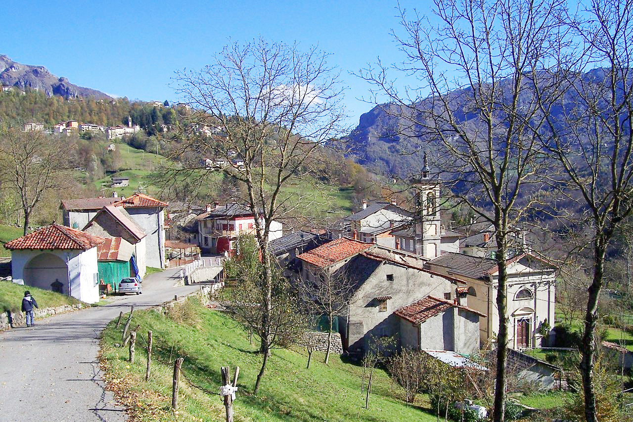
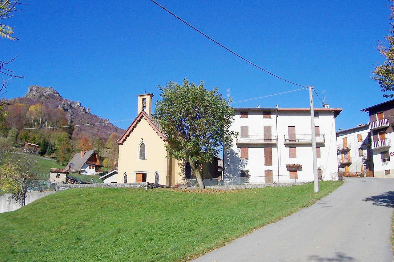
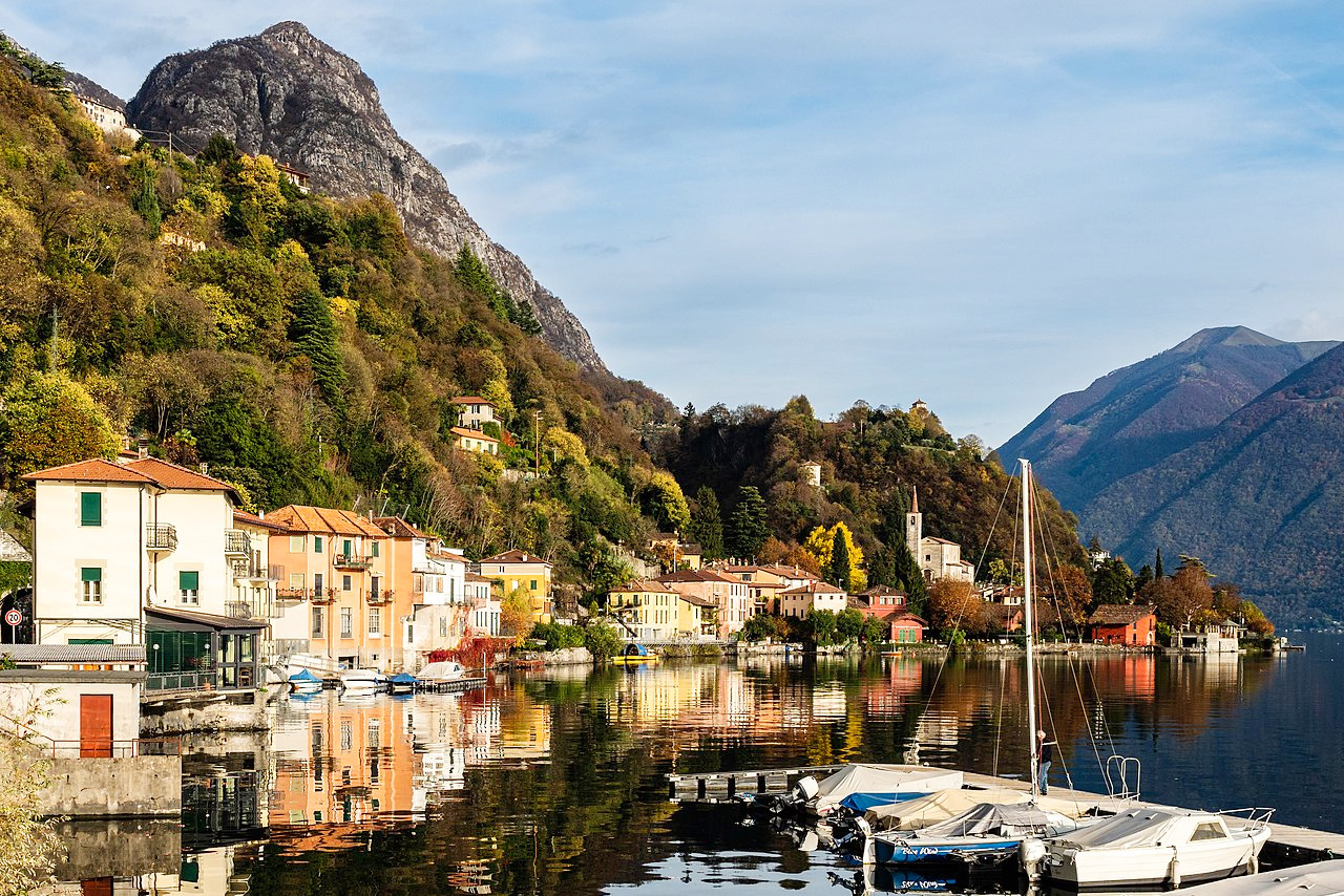 Valsolda, San Mamete, Lombardia
The official websites
Lombardia
The Italian lake district
| Location: | Northern Italy |
| Coordinates: | 45° 30′ N, 09° 45′ E |
| Size: | • 220 km N-S; 230 km E-W • 135 miles N-S; 140 miles E-W |
| Terrain: | Alpine mountains in the north with a string of large lakes. Agricultural flatlands of the Po river plain in the south |
| Climate: | Summer on the plains is muggy and hot; winters are cool with limited rainfall. The mountains have cool summers with abundant rainfall and long, cold, dry winters |
| Highest point: | Punta Perrucchetti (Pizzo Bernina) 4,021 m |
| Forest: | 27% (2010 est.) (source) |
| Population: | 10,103,969 (2019) |
| Population density: | High (420/km²) |
| Capital: | Milano (English: Milan) |
| Languages: | Italian; Lombard |
| Human Development Index: | Very High (0.912) |