The Geography of
Malaysia
Why visit Malaysia?
Malaysia is a whole collection of fascinating places—deep impenetrable jungle and rubber plantations, marvelous sandy and secluded beaches, and rugged mountains topped with cool hill stations complete with inns and cottages. There are fine bustling cities of mosques, temples, and modern buildings; hot, steamy ports; and the villages of the Sea Dayaks, with houses on long stilts. There are Malays and Chinese, Indians, Kadazans, Muruts, Ibans, Bidayuhs, and many other indigenous groups, all bustling together to make this one of the richest and most colorful countries in Southeast Asia.
Map
 Relief map of Malaysia
What is the landscape of Malaysia like?
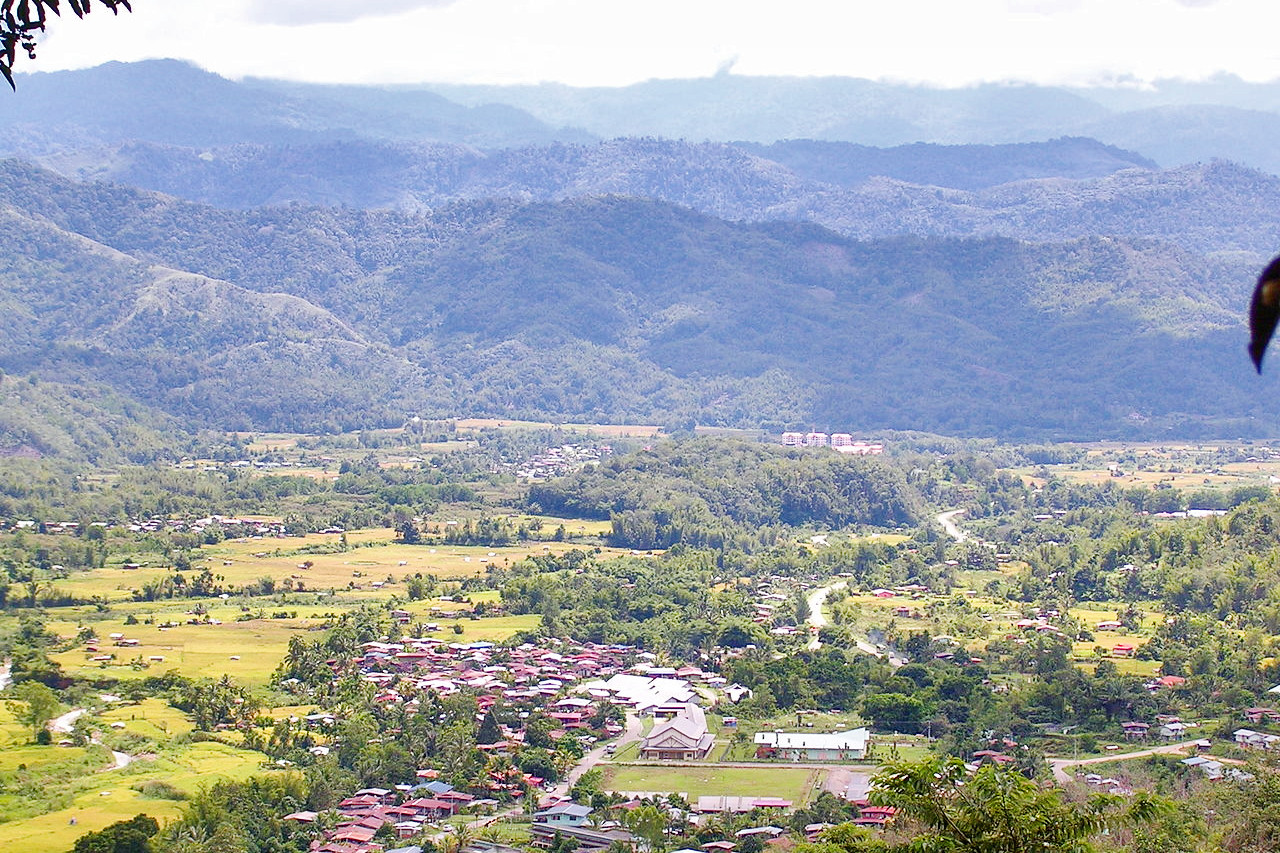
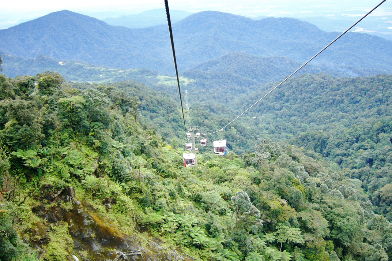
Malaysia is a tropical country with wide coastal plains rising to forest-covered mountains. It comprises Peninsular Malaysia on mainland Asia and East Malaysia (Sabah and Sarawak) on Borneo. Three-quarters of the country is tropical jungle.
Peninsular Malaysia
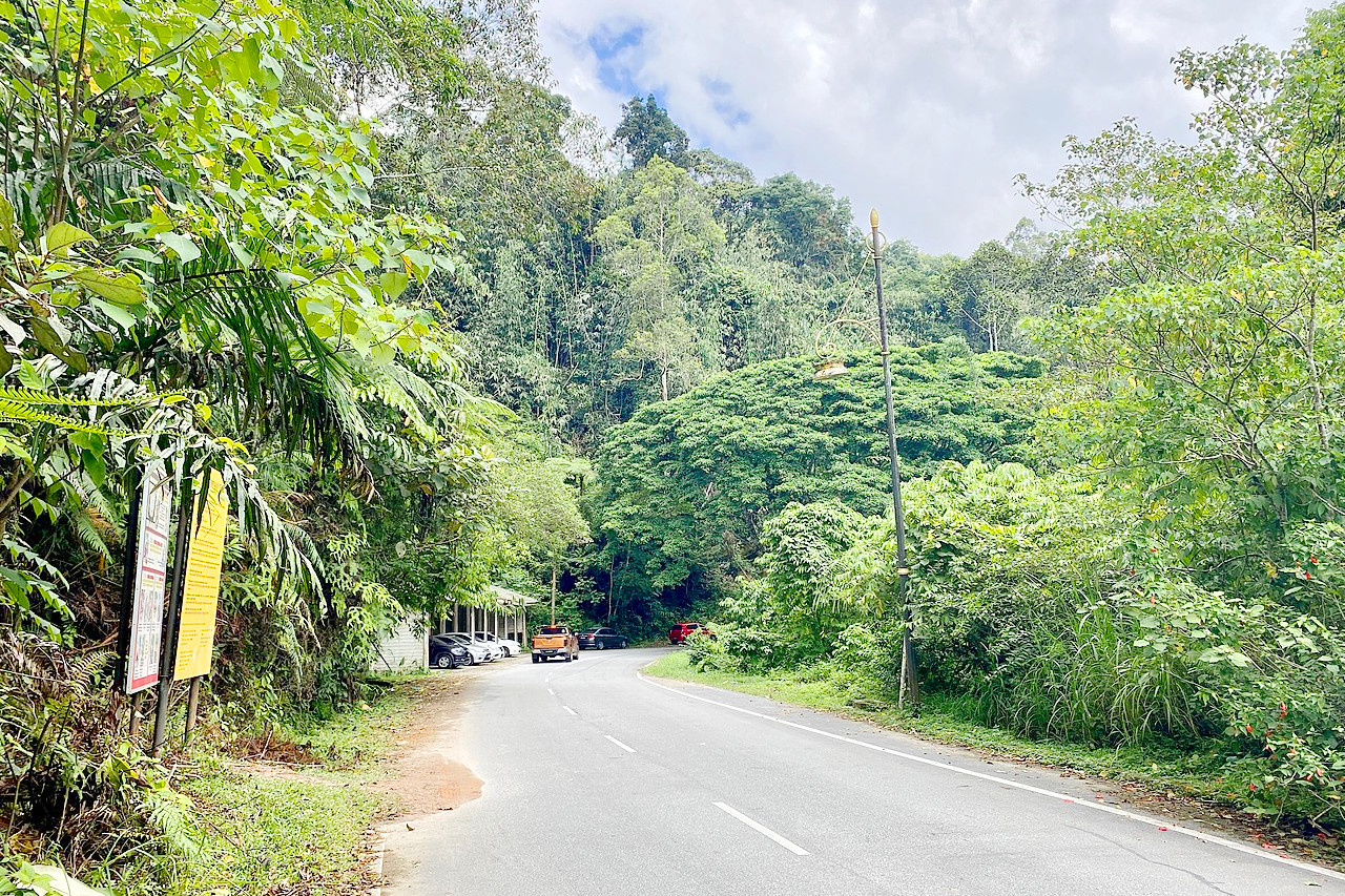
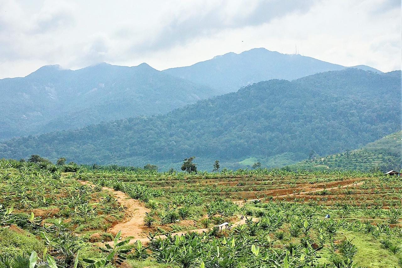
Four-fifths of Peninsular Malaysia is covered by rainforest and swamp. The northern regions are divided by a series of mountain ranges that rise abruptly from the wide, flat coastal plains. These mountains rise in the centre to nearly 2,200 meters (7,200 feet). To the south they fall away again and there are isolated uplands standing out from an undulating lowland. The Titiwangsa Range has the largest remaining continuous forests in Peninsular Malaysia. The highest peaks, Gunong Tahan (2,190 meters / 7,185 feet) and Gunong Korbu (2,183 meters / 7,162 feet), are in the north central region.
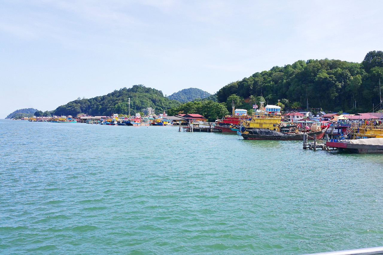
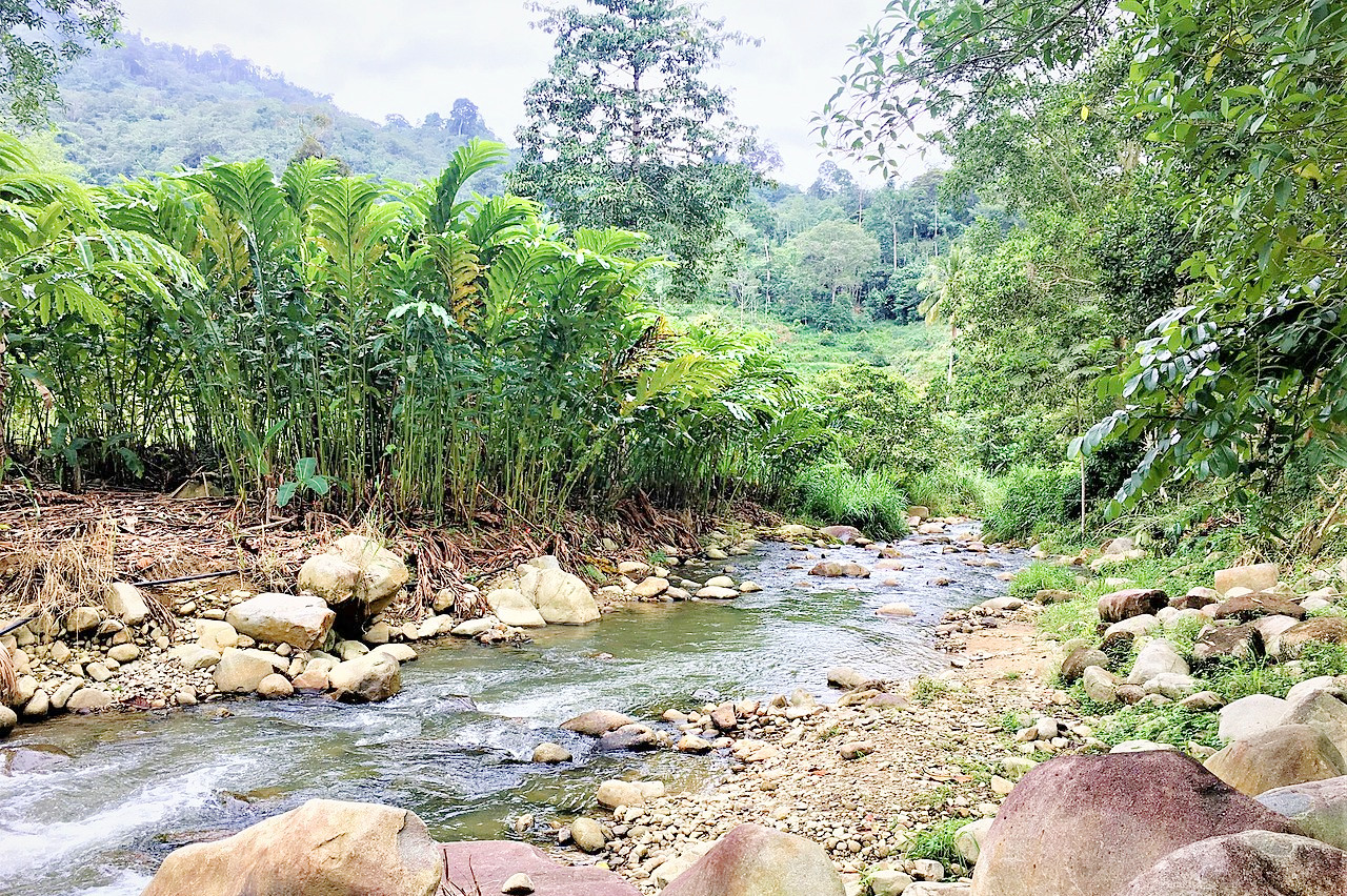
Because of the long and narrow character of the peninsula few long rivers develop, but there are numerous short ones. The rivers flowing to the east, south, and west are swift and have cut some deep gorges, but on reaching the coastal plains they become sluggish. The western coastal plain contains most of the country’s population and the main seaports, George Town (on the offshore Pulau Pinang) and Kelang. The eastern coastal plain is mostly jungle and lightly settled. It is subject to heavy storms from the South China Sea and lacks natural harbors.
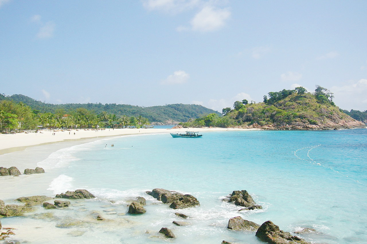
There are islands in all the waters surrounding Malaysia. Langkwai is off the northwest coast in the Andaman Sea. It is actually an archipelago made up of ninety-nine individual islands. Penang is also located in the Andaman Sea. It is a mountainous island with heights of up to 829 meters (2,719 feet), and is densely populated.
East Malaysia
Sarawak consists of an alluvial and swampy coastal plain, an area of rolling country interspersed with mountain ranges, and a mountainous interior. Rain forests cover the greater part of Sarawak. The interior is an irregular, mountainous mass of unconnected ranges with a mean height of about 1,500 meters (5,000 feet). Mount Murud is Sarawak’s highest peak, at 2,424 meters (7,950 feet).
Mulu (2,376 meters / 7,793 feet) is the second-highest peak of Sarawak; this mountain is famous for its caves. Gunung Mulu National Park, a UNESCO World Heritage site, contains one of the most extensive and spectacular limestone cave systems on Earth. Mulu's Sarawak Chamber is the largest natural cavern in the world: 600 meters (2,000 feet) long and 300 meters (1,000 feet) high. Nearby, Deer Cave has two huge entrances at either end of the mountain it penetrates. It is the largest known cave passage, at 2,160 meters (7,085 feet) long and 222 meters (728 feet) deep. Nearly one million bats live in this cave.
The interior of Sabah is comprised of the same complex mountain masses as those of Sarawak. The landscape consists of a series of alternating ranges and valleys parallel to the northwest coast. Sabah is split in two by the Crocker Mountains, which extend north and south some 48 km (30 miles) inland from the west coast, rising to over 4,100 meters (13,450 feet) at Mount Kinabalu, the highest point in Malaysia, and the highest summit between the Himalayas and New Guinea. Most of the interior is covered with tropical forest, while the western coastal area consists of alluvial flats making up the main rubber and rice land.
What is the nature of Malaysia like?
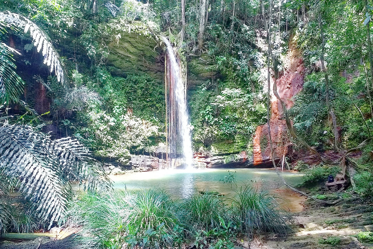
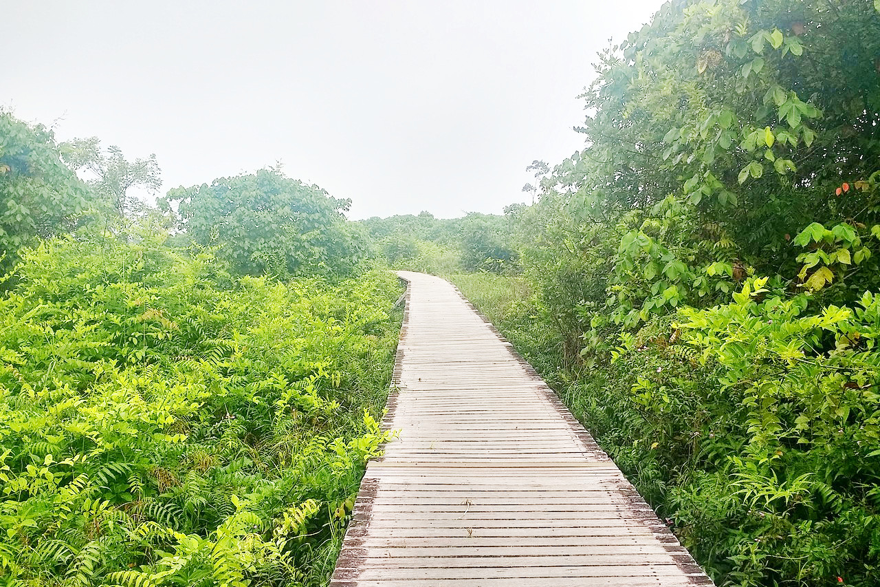
The first thing that strikes you about the natural flora is its great richness and extreme complexity. Like every tropical country, Malaysia is always green and always beautiful. The dense forests of Malaysia are some of the oldest in the world. Covering more than two-thirds of the country, they stretch from the mangrove swamps of the western coast, through freshwater swamps, to lowland hardwood forests, heath forests, and mountain forest. There is a great variety of species of plant life. 9,000 types having been counted, including 3,000 varieties of trees.
The dry-land forest below an altitude of 600 meters (2,000 feet) is characteristic of the Peninsula and covers the largest area. The forest canopy consists of several storeys, the topmost trees having an average height of 45 meters (150 feet), with occasional trees more than 60 meters (200 feet high). This top storey forms an almost complete canopy. Underneath it, and sometimes growing up into it, are a number of trees whose average height is usually not much more than 30 meters (100 feet). Below there is a third storey composed of small trees and shrubs, and often beside this third storey there is a fourth of low-growing plants that cover the floor of the forest.
In Peninsular Malaysia, there are mangrove swamps along the western coast, but on the eastern coast, where the rainfall is lighter, the forest is not so dense. Animals of the rain forest include seladang (Malayan bison), deer, wild pigs, tree shrews, honey bears, forest cats, civets, monkeys, crocodiles, and lizards. The seladang weighs about a tonne and is the largest wild ox in the world. There are an immense variety of insects, particularly butterflies; and there some 500 breeding species of birds.
On Sabah and Sarawak, lowland forests contain some 400 species of tall hardwoods; fig trees abound, attracting small mammals and birds; and groves are formed by the extensive aerial roots of banyan trees. As altitude increases, herbaceous plants—buttercups, violets, and valerian—become more numerous, until moss-covered evergreen forests are reached from 1,500 to 1,800 meters (5,000–6,000 feet). Butterflies, brilliantly colored birds of paradise, and a great wealth of other insect and bird species inhabit the two states.
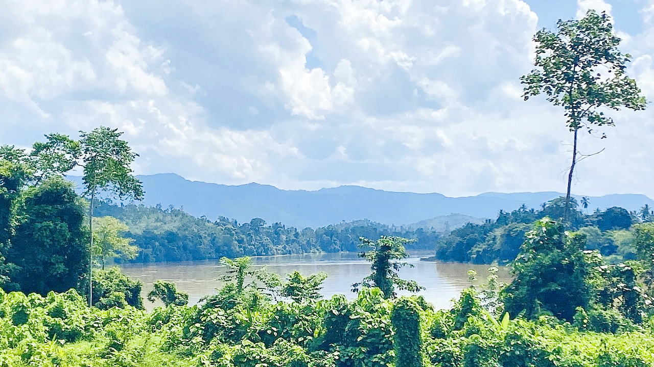 Pahang River in Pekan District
What is the climate of Malaysia like?
See our main article: The Climate of Malaysia
Malaysia has a basically tropical climate, characterized by fairly high but uniform temperatures ranging from 23°C to 31°C (73°F to 88°F), with high humidity. Lying very close to the equator, Malaysia’s seasons are based primarily on rainfall patterns.
Malaysia experiences high rainfall, averaging about 2,500 mm (100 inches) annually, and occurring during one or two monsoon seasons between September and May.
| Climate data for Kuala Lumpur | |||||||||||||
|---|---|---|---|---|---|---|---|---|---|---|---|---|---|
| Month | Jan | Feb | Mar | Apr | May | Jun | Jul | Aug | Sep | Oct | Nov | Dec | Year |
| Average high °C (°F) | 32.0 (89.6) | 32.8 (91.0) | 33.1 (91.6) | 33.1 (91.6) | 33.0 (91.4) | 32.8 (91.0) | 32.8 (91.0) | 32.3 (90.1) | 32.1 (89.8) | 32.0 (89.6) | 31.7 (89.1) | 31.5 (88.7) | 32.4 (90.3) |
| Daily mean °C (°F) | 27.7 (81.9) | 28.2 (82.8) | 28.6 (83.5) | 28.7 (83.7) | 28.8 (83.8) | 28.6 (83.5) | 28.1 (82.6) | 28.1 (82.6) | 28.0 (82.4) | 28.0 (82.4) | 27.8 (82.0) | 27.6 (81.7) | 28.2 (82.8) |
| Average low °C (°F) | 23.4 (74.1) | 23.6 (74.5) | 24.0 (75.2) | 24.3 (75.7) | 24.6 (76.3) | 24.3 (75.7) | 23.8 (74.8) | 23.9 (75.0) | 23.8 (74.8) | 24.0 (75.2) | 23.8 (74.8) | 23.6 (74.5) | 23.9 (75.0) |
| Average precipitation mm (inches) | 193 (7.6) | 198 (7.8) | 257 (10.1) | 290 (11.4) | 197 (7.8) | 131 (5.2) | 148 (5.8) | 162 (6.4) | 214 (8.4) | 265 (10.4) | 321 (12.6) | 252 (9.9) | 2,628 (103.4) |
| Source: Pogodaiklimat.ru | |||||||||||||
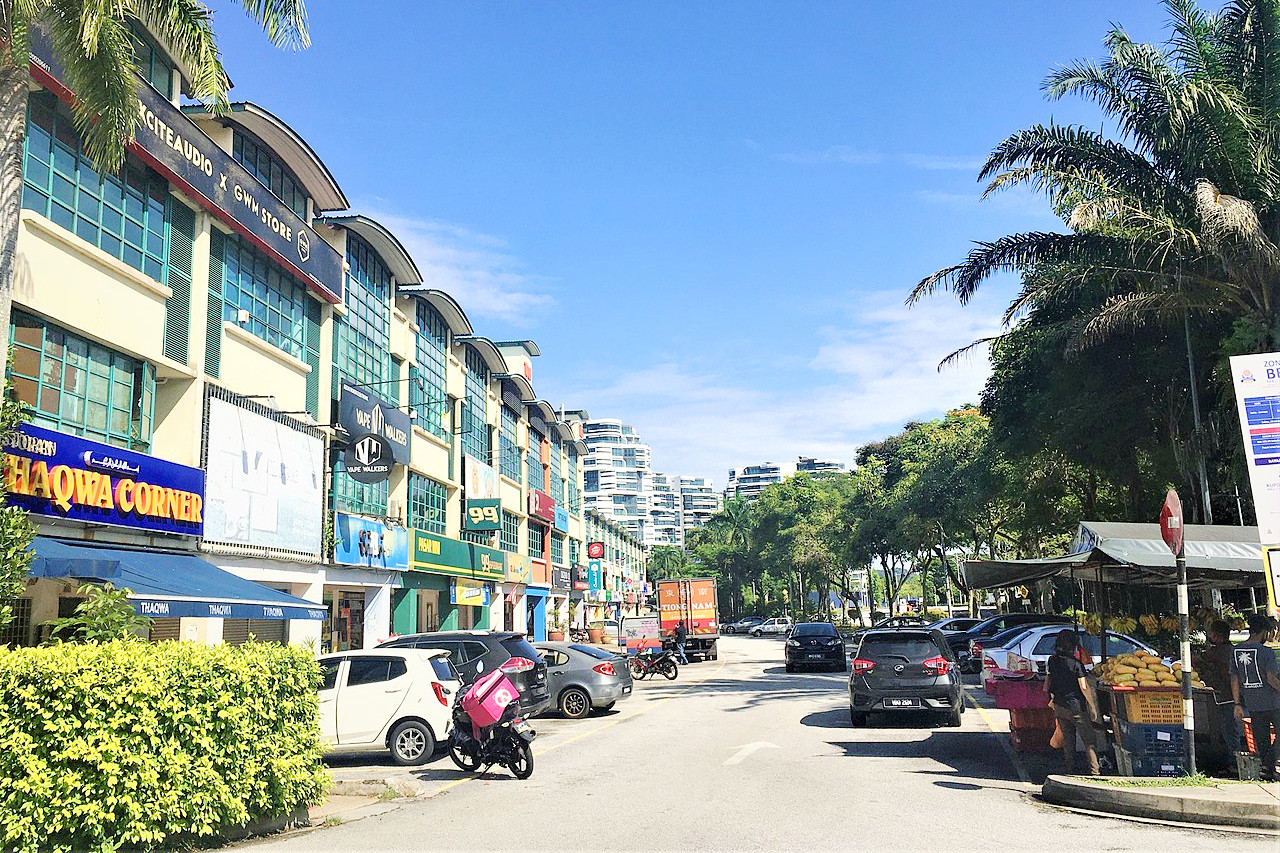 Town of Petaling Jaya in Selangor
The official websites
Malaysia
Truly Asia
| Location: | Southeastern Asia. A peninsula bordering Thailand; and northern part of the island of Borneo, bordering Indonesia, and Brunei |
| Coordinates: | 2° 30′ N, 111° 30′ E |
| Size: | • 660 km N-S; 2200 km E-W • 410 miles N-S; 1365 miles E-W |
| Terrain: | Wide coastal plains with mangrove swamps, rising to forest-covered mountains |
| Climate: | Tropical climate with fairly high but uniform temperatures. Heaviest rain occurs between September and May. |
| Highest point: | Gunung Kinabalu 4,095 m / 13,435 ft |
| Forest: | 87% (2010 est.) (source) |
| Population: | 33,871,431 (2022 est.) |
| Population density: | Low (98/km²) |
| Capital: | Kuala Lumpur |
| Languages: | Bahasa Malaysia (official), English, Chinese, Tamil, Telugu, Malayalam, Panjabi, Thai. Many indigenous languages |
| Human Development Index: | Very high (0.810) |