The Geography of
Germany
Why visit Germany?
Germany, (Deutschland) is a European country rich in beautiful scenery, legendary rivers, lakes, forests and mountains. The country stretches from the Alps to the Baltic and the North Sea, and from the valley of the Rhine to the upper Danube. The variety of natural beauty is scarcely to be matched anywhere else the world, ranging from mountains and mountain lakes in the south, forests and fine pastures, and a series of bracing seaside resorts to the north.
Contents
Map
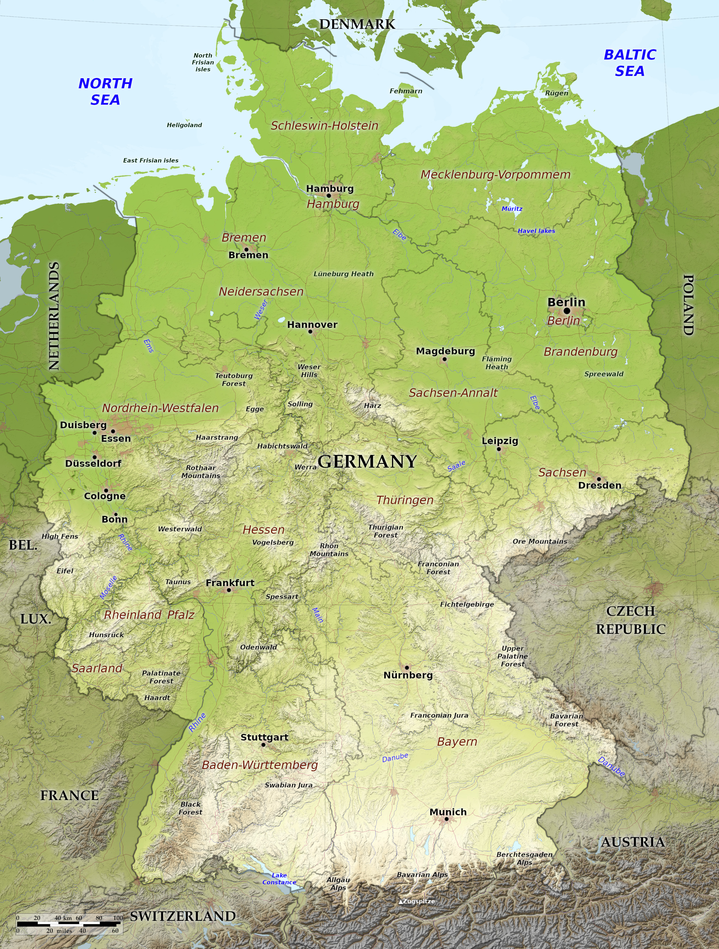 Relief map of Germany
Geography
Germany occupies a large part of Central Europe. Roughly speaking, it can be divided into four main parts: The northern Coast, the North German Plain, the Central Uplands ("Mittelgebirge"), and the Alpine south:
Coast
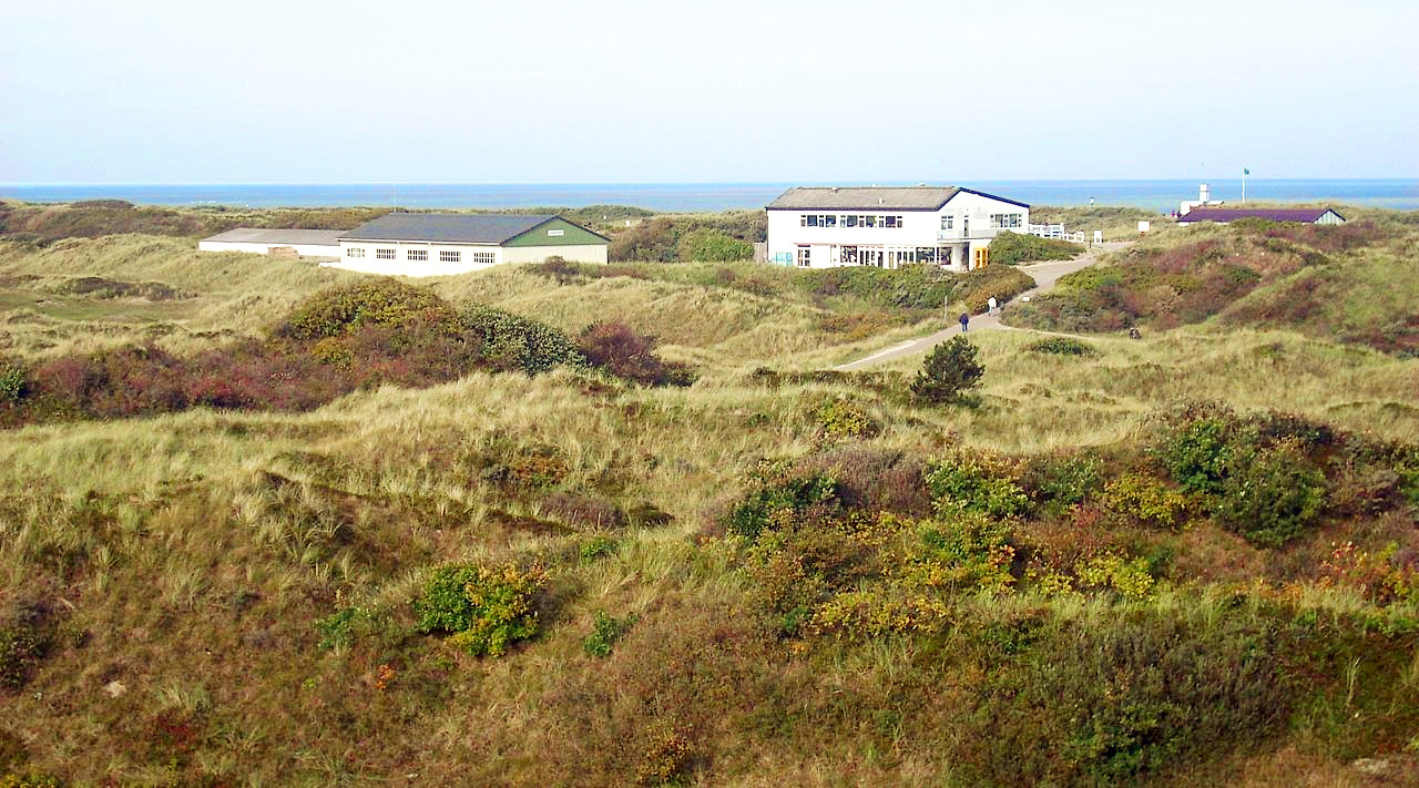
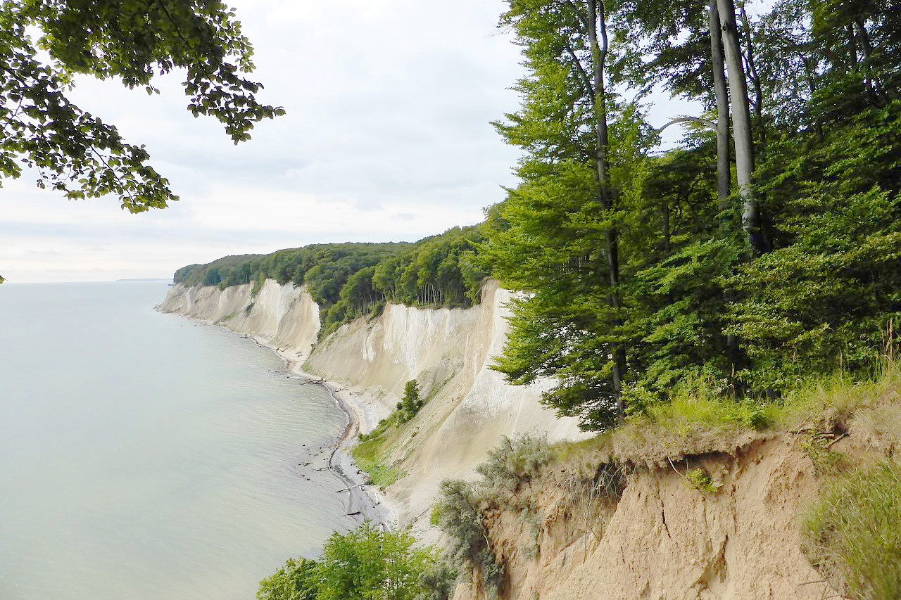
Germany has two coastlines—on the North Sea and on the Baltic. The North Sea coast is characterised by sands which surround the whole coast forming ranges of dunes which are divided into separate islands making up the Frisian Islands. On the coast of East Friesland there are seven inhabited islands, of which Norderney and Borkum have the most people, while of the North Frisian Islands, on the western coast of Schleswig, Sylt is the largest. Heligoland is a rocky island twenty-nine miles from the mainland. Much of the mainland coast has been reclaimed from the sea by means of immense dikes built within the last three centuries.
The coast of the Baltic possesses only a few islands, the chief being Rügen off the coast of Pomerania and Fehmarn off Schleswig-Holstein. The Baltic has no perceptible tides and a great part of its coastline is in winter covered with ice. The shores of the Baltic have a series of very shallow lagoons, called Haffs, which extend parallel with the coast for long distances. Notable is the Stettin Lagoon which is shared with Poland. It is separated from the sea by two islands, so that the River Oder flows out by three mouths.
North German Plain

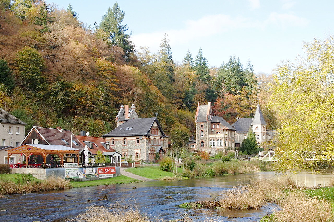
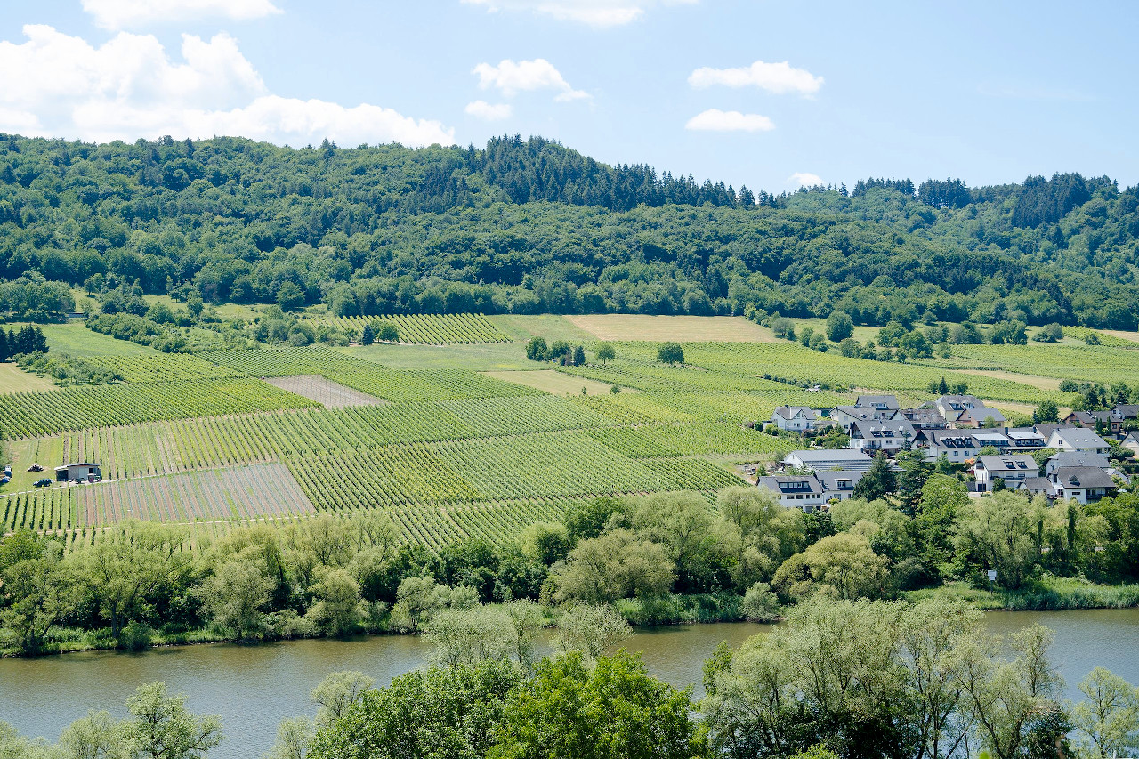
The north of Germany is a large lowland, which is part of the North European Plain which takes in the whole of northeastern Europe. The whole country slopes gradually north to the Baltic, and northwest to the North Sea. Long stretches of ground are covered by moors, especially in the westernmost parts of the plain, in Oldenburg and East Frisia. The North German plain is not absolutely uniform. A row of low hills runs across Saxony in eastern parts of Germany. North of the middle districts of the Elbe country the heights are called the Fläming Heath; westward lies the Lüneburg Heath, reaching as far as Hannover. The Müritz, the largest lake entirely in Germany is part of these lowlands, as are the Havel lakes—an extensive region of lakelands in the state of Mecklenburg-Vorpommern.
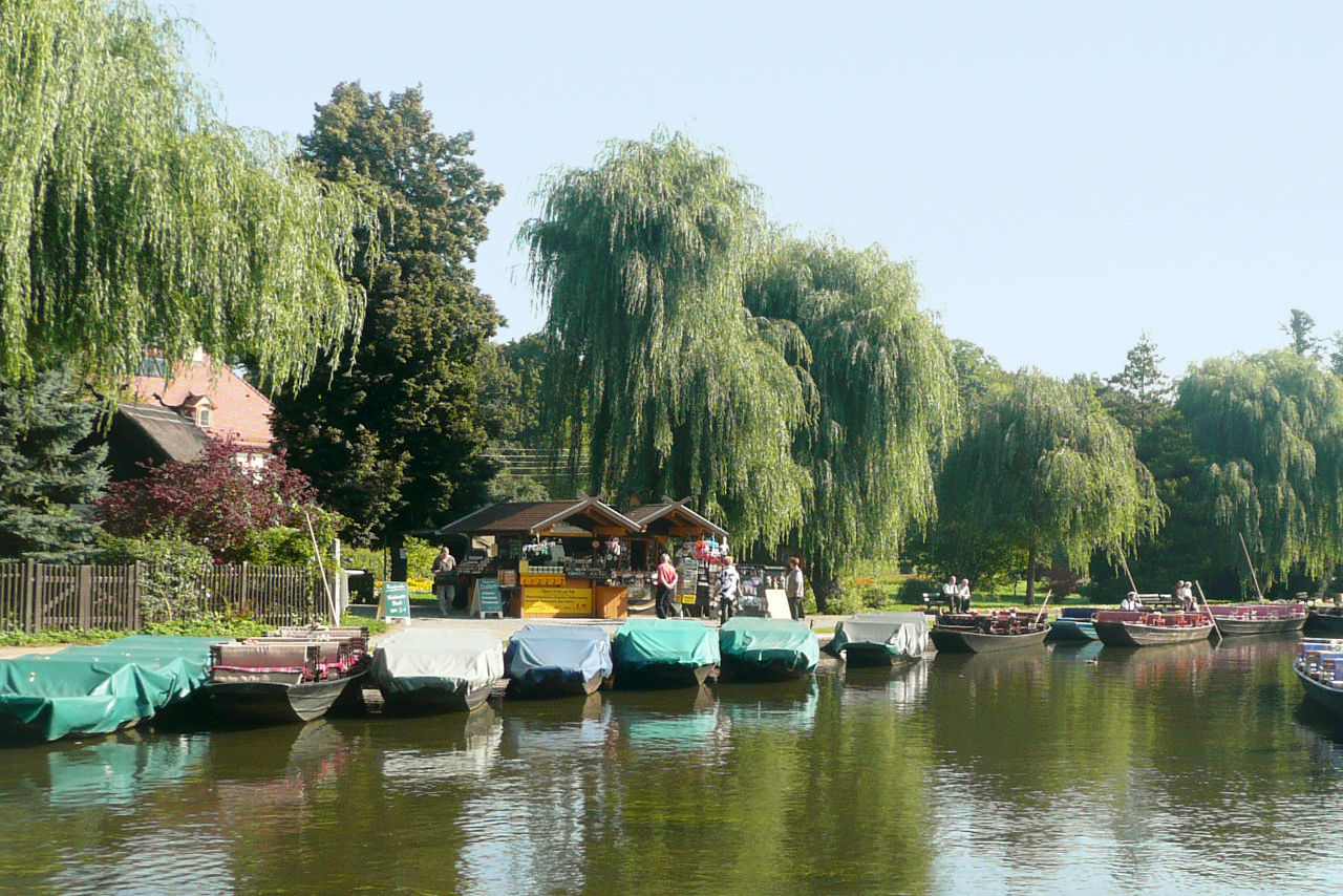
The lowest parts of the North German plain, excluding the sea-coasts, are the eastern districts where the Havel, Spree, and Oder form swampy lowlands. Although the construction of canals and drainage channels have reduced the swamps, the Spreewald, to the southeast of Berlin, remains as one of the most remarkable districts of Germany. As the Spree divides itself there into innumerable branches, enclosing thickly wooded islands, boats form the only means of travel.
Central Uplands
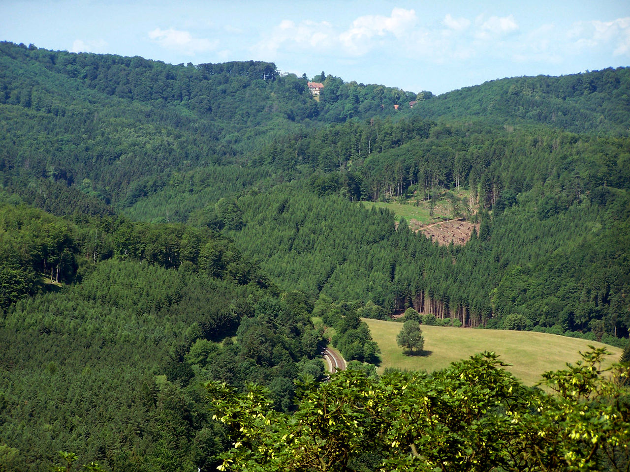
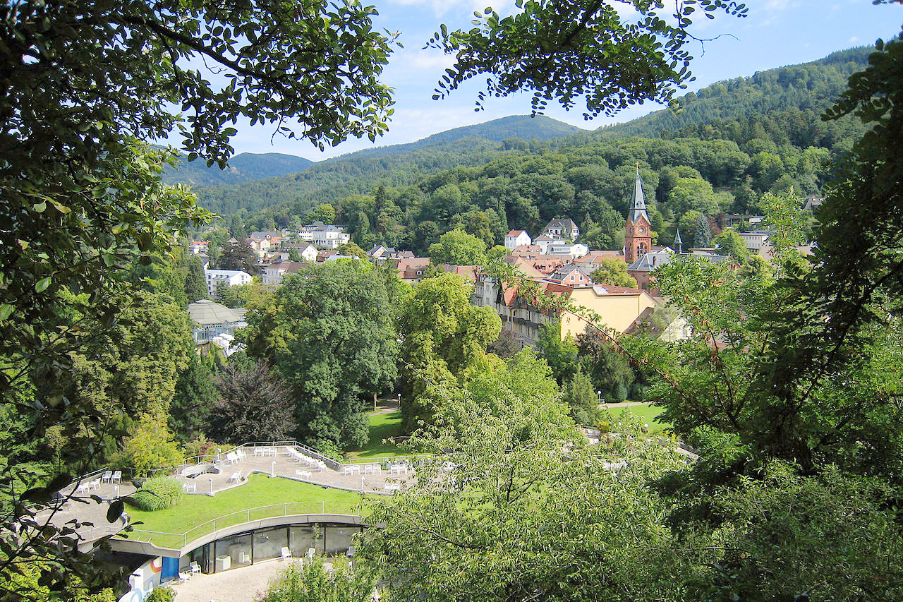
The highlands consist in part of high plains, rolling or hilly areas, and, in part, of short mountain chains or groups of mountains, which extend from southwest to northeast or from southeast to northwest, seldom from south to north. Only a few summits among these mountains exceed 1,000 meters (3,500 feet) in height. The mountain systems inclose high plains, as, for example, the plains of Bavaria (Bayern) and the Middle Rhine basin.
In the center of this system lies the Thuringian Forest which is connected by the plateau of the Franconian Forest with the Fichtelgebirge. These Fichtel mountains form a hydrographical centre, whence the river Naab flows southward to the Danube, the river Main westward to the Rhine, the river Eger eastward to the Elbe, and the river Saale northward, also into the Elbe.
Then a number of mountain chains radiate in all directions. To the northeast the Ore Mountains (Erzgebirge), the loftiest peaks of which rise to an elevation of 1,200 meters (4,000 feet), form the frontier between Bohemia and the Czech Republic.
To the southeast the hills of the Upper Palatine Forest lead to the mountains of the Bavarian Forest, a frontier between Bavaria (Bayern) and the Czech Republic, which runs nearly 150 miles in parallel rugged chains toward the Danube. Its highest elevation is the Großer Arber, 1,455 metres (4,775 ft).
To the south is the Franconian Jura which sweep to the Danube and along its northern bank in a westerly direction into Würtemberg, where its long-stretched, sharply defined ridges and table lands form the Swabian Jura of southern Germany.
Between the Franconian and Swabian mountain system extends a vast level plain (southern Bavaria), bounded north by the Danube, west by the Iller, and east by the Inn and Salzach. This plain is separated on the west from the Swiss plain by Lake Constance (Bodensee). In the upper part of the plain, towards the Alps, there are several more lakes, the largest being the Ammersee, Lake Starnberg (Starnberger See), and the Chiemsee. Many portions of the plain are covered by moors and swamps of large extent, called Moose.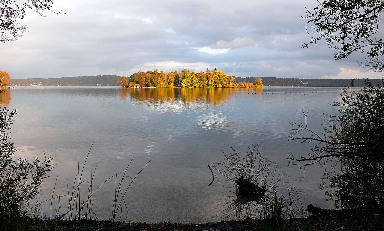
In southwest Germany, near the head waters of the Danube, the mountain ridge of the Black Forest (Schwarzwald) sets off at a sharp angle from the Swabian Jura in a northerly direction nearly parallel to the Rhine, and skirting the fertile bottom land of its east bank. The summits are rounded and covered with wood—only the highest peaks are bare—the highest being the Feldberg at 1,493 metres (4,898 feet). The Danube, one of the great rivers of Europe, has its source in the Black Forest.
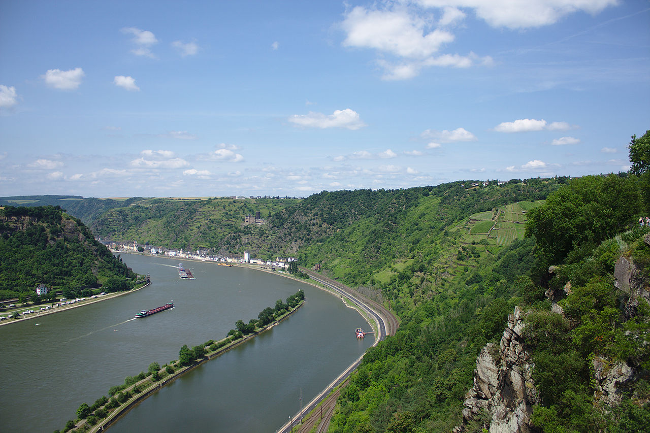
To the west of the Black Forest, and running north as far as the Odenwald and Spessart hills, is the Rhine Plain extending about 180 miles from south to north, and with a width of 20 to 25 miles. This is the great valley of the Rhine—the only river which binds together the three great regions—the High Alps, the German highlands, and the low plain, although both its source and its mouth are outside of the country. Historically, it has been the most important river in Germany, being used to transport cargo since prehistoric times.
To the west of the Rhine, the northern spurs of the French Vosges enter Germany as the Palatinate Forest. Two ranges of hills are called the Haardt and the Hunsrück. Further north the Ardennes produce the ridge of the Eifel 747 meters (2,450 ft) and the High Fens (Hohe Venn).
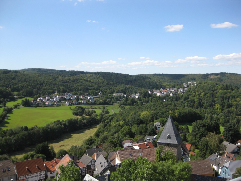
The northwest section of central Germany appears like a labyrinth of hill chains, few of which attain a considerable height. The more important of them are: the Werra uplands and the Habichtswald; the isolated mountain groups of the Rhön and the Vogelsberg; and the chain of hills heading north: the Westerwald, Taunus, Rothaar Mountains, Haarstrang, and Egge hills. North of the Egge hills is the Teutoburg Forest, renowned in German history for the battle by which Roman rule east of the Rhine was broken.
In the north, the Weser Hills (Wesergebirge) and the Solling hills run east of the Weser river, while east of them and north of the Thuringian system the Harz appears as an isolated mass of mountains, the highest summit of which, Brocken, reaches the height of 1,141 metres (3,743 ft).
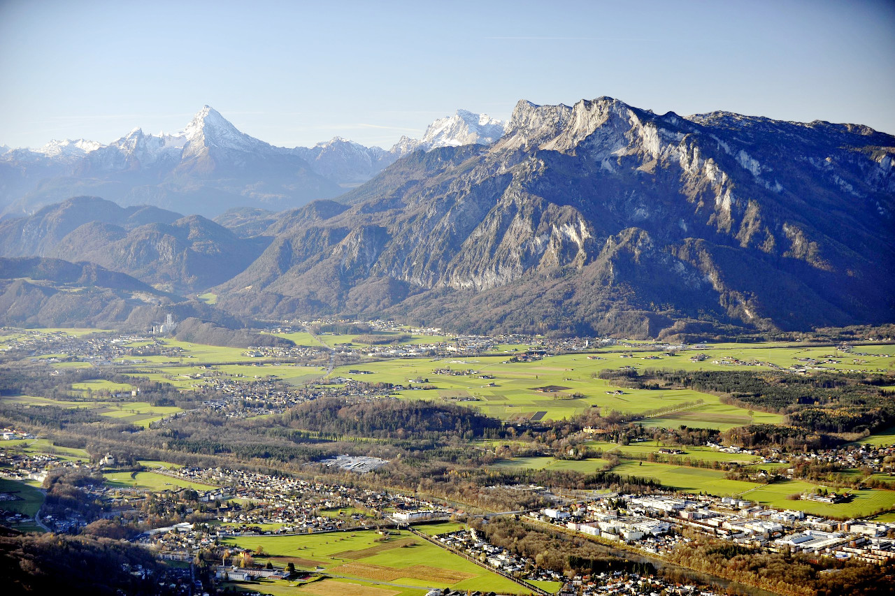
Alpine region
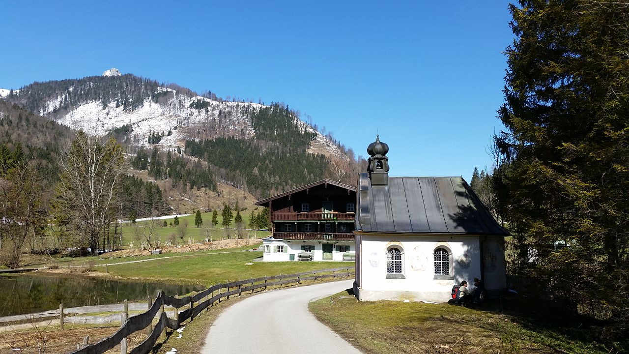
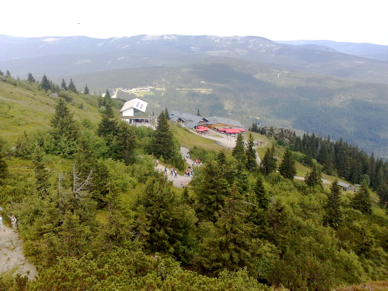
The highest mountains are in the south, where the northern Alps enter on Bavarian territory. The Alps form the southern frontier with Austria, but only three comparatively small branches belong to the Germany: the Allgäu Alps, the highest peak being the Großer Krottenkopf, 2,656 meters (8,714 feet); the Bavarian Alps which have the highest mountain in Germany, the Zugspitze 2,962 meters (9,718 feet); and the Berchtesgaden Alps which have Germany's third-highest mountain, Watzmann, at 2,713 meters (8,901 feet).
What is the nature of Germany like?
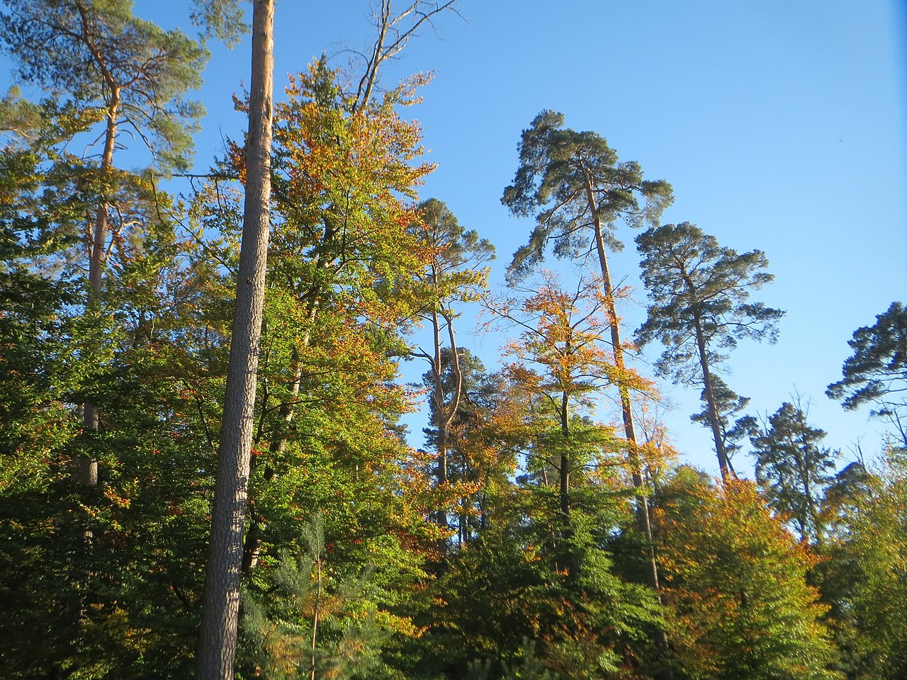
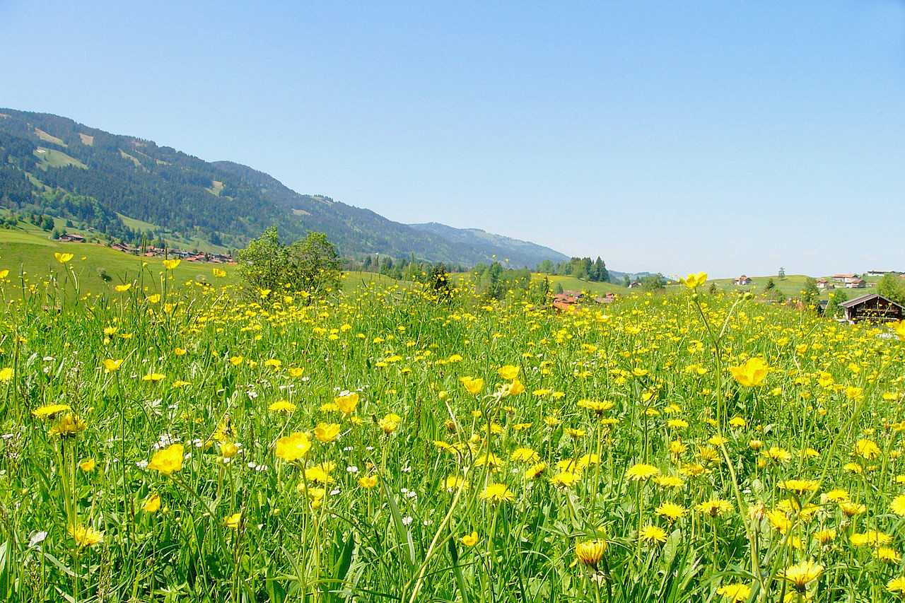
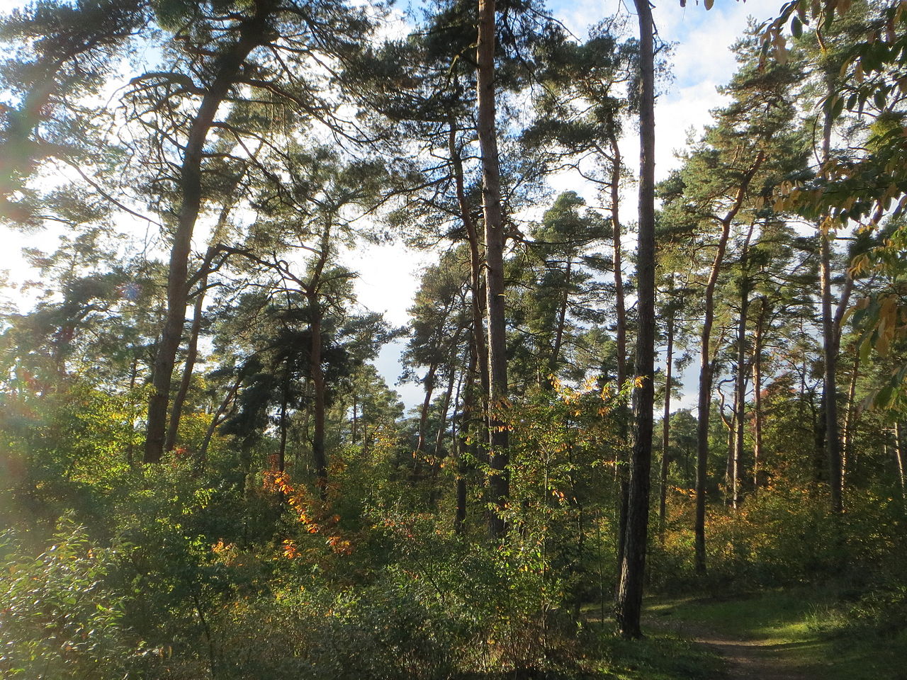
Since ancient times Germany has been known for being a wooded country. Even today forests make up around one third of the land, and these woodlands are the crowning glory of Germany. Little remains of the original primeval forest, but heavy replanting has occured since the 18th-century, and the German forests are cared for as assiduously as any field crop. Especially in the mountains, the beauty of the forests lies in the mixture of light deciduous and dark coniferous woods, interspersed here and there with meadows or heath patches.
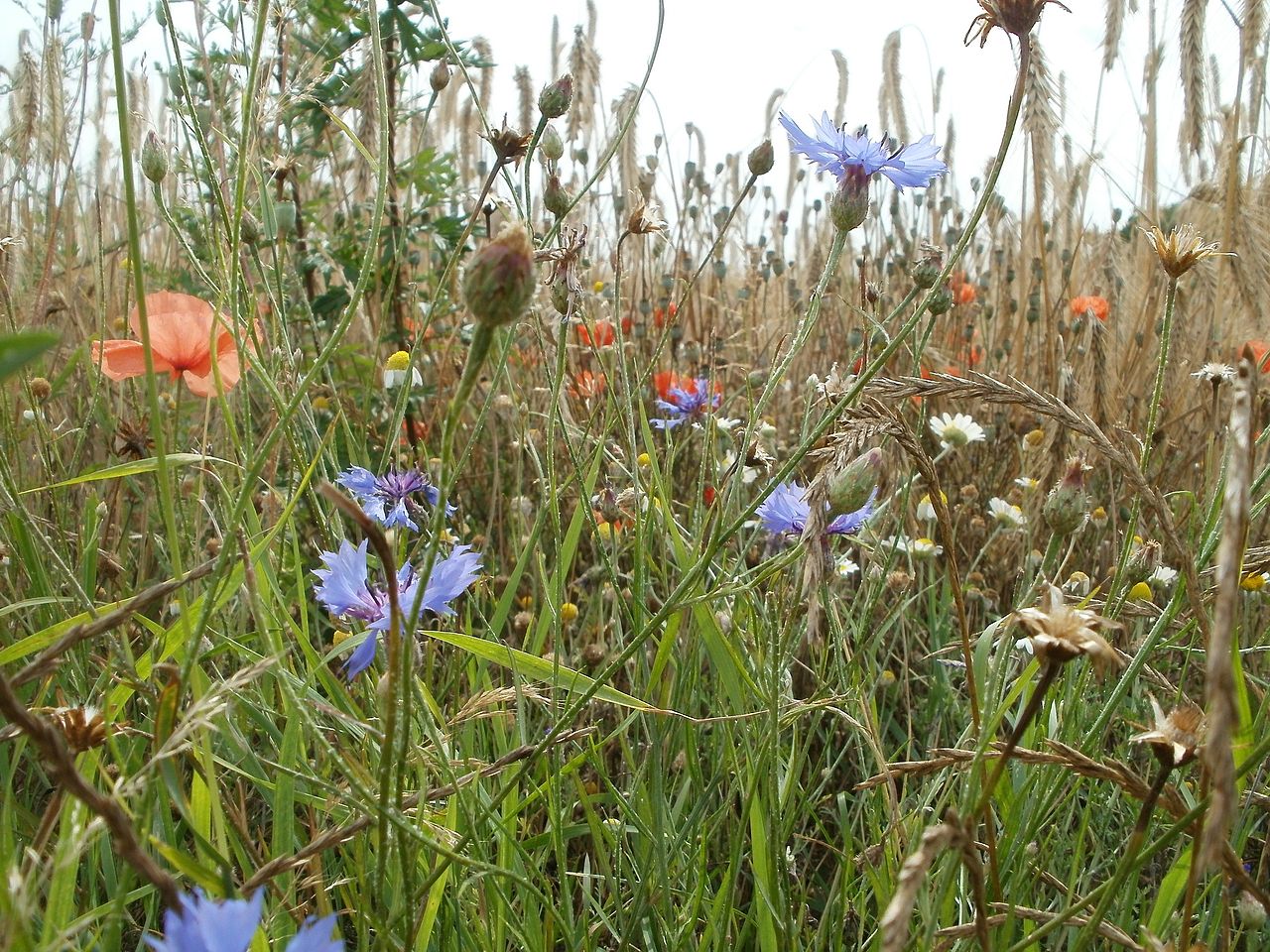
Bogs and swamps once covered the lowlands, and although much has been drained to create farmland, large areas of swamp remain. Here can be found rushes, sedges, reeds, sphagnum mosses and the insectivorous sundew, bladderworts (Utricularia), and butterworts (Pinguicula). Red poppies, blue cornflowers, and purple corncockles adorn the grain fields. Along the shores there are salt plants with fleshy leaves and stalks, whereas the sand dunes have special grasses and thistles.
.jpg&oldid=310160447)
.jpg)
Pine trees are typical for the northern lowlands and form forests even on the sand plains; other characteristic trees are birch and spruce. Deciduous forests in the lowlands are usually mixed, with the oak being most characteristic. Oak is the national tree celebrated by songs, poems and myths.
To the south, deciduous forests generally occupy the lower mountain slopes. Beech forests are quite common. The mixed forests contain oak, beech, maple, hornbeam, birch, ash, rowan, poplar, aspen, wild apple and pear, hawthorn, and the service tree. Higher mountain slopes contain the coniferous forests. The six characteristic conifer species are fir, spruce, pine, larch, juniper, and yew. Spruce has spread from the south all over the country, wheras yew, once common, is now a rarity.
The Alpine slopes have their own characteristic fauna; this includes larch, spruce, Mountain pine (Pinus montana), dwarf willow and juniper. The highest peaks are covered with grasses, heather, lichens, mosses, as well as pasture with many alpine flowers.
What is the climate of Germany like?
See our main article: The Climate of Germany
Germany has a milder climate than would be expected from its latitude. There is little difference between the north and south, as the higher land of the south counterbalances the southerly location. The mean annual temperature of Hamburg is 9°C (48°F), of Leipzig, 8°C (47°F), of Munich, 7°C (45°F). The mean summer temperature in all these places is around 18°C (64°F), dropping to 0°C (32°F) in winter.
To the west the climate is much like that of France, with mild winters and not excessively hot summers; but in the east the temperature assumes a more continental character and the Baltic coast ices over in winter. The warmest part of Germany is the upper Rhine valley where low elevation is combined with a southerly latitude. The same holds true of the valleys of the Neckar, Main and Mosel. Hence the vine is cultivated everywhere in these districts.
The annual rainfall is from 500 to 750 mm (20 to 30 inches) for most of Northern Germany, but in the extreme south and west it exceeds 750 mm (30 inches). In the neighborhood of some of the mountain ranges rainfall can reach 1000 mm (40 inches) and upward.
| Climate data for Berlin (1981–2010) | |||||||||||||
|---|---|---|---|---|---|---|---|---|---|---|---|---|---|
| Month | Jan | Feb | Mar | Apr | May | Jun | Jul | Aug | Sep | Oct | Nov | Dec | Year |
| Average high °C (°F) | 2.8 (37.0) | 4.3 (39.7) | 8.7 (47.7) | 14.3 (57.7) | 19.4 (66.9) | 22.0 (71.6) | 24.6 (76.3) | 24.2 (75.6) | 19.3 (66.7) | 13.8 (56.8) | 7.3 (45.1) | 3.3 (37.9) | 13.7 (56.7) |
| Daily mean °C (°F) | 0.1 (32.2) | 0.9 (33.6) | 4.3 (39.7) | 9.0 (48.2) | 14.0 (57.2) | 16.8 (62.2) | 19.1 (66.4) | 18.5 (65.3) | 14.2 (57.6) | 9.4 (48.9) | 4.4 (39.9) | 1.0 (33.8) | 9.3 (48.7) |
| Average low °C (°F) | −2.8 (27.0) | −2.4 (27.7) | 0.4 (32.7) | 3.5 (38.3) | 8.2 (46.8) | 11.2 (52.2) | 13.5 (56.3) | 13.0 (55.4) | 9.6 (49.3) | 5.4 (41.7) | 1.4 (34.5) | −1.6 (29.1) | 5.0 (41.0) |
| Average precipitation mm (inches) | 37.2 (1.46) | 30.1 (1.19) | 39.3 (1.55) | 33.7 (1.33) | 52.6 (2.07) | 60.2 (2.37) | 52.5 (2.07) | 53.0 (2.09) | 39.5 (1.56) | 32.2 (1.27) | 37.8 (1.49) | 46.1 (1.81) | 515.2 (20.28) |
| Source: Deutscher Wetterdienst | |||||||||||||
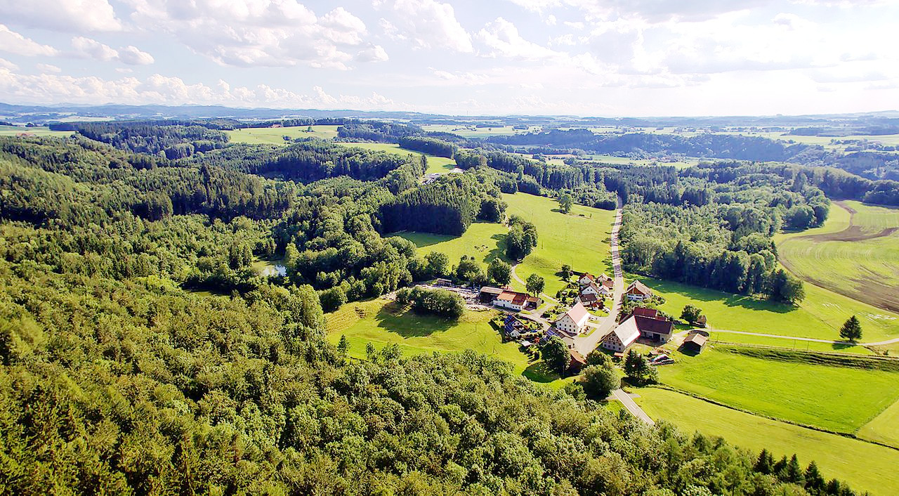 The Bavarian Plain at Rothenstein
The official websites
Germany
Land of Ideas
| Location: | Central Europe, bordering the Baltic Sea and the North Sea, between the Netherlands and Poland, south of Denmark |
| Coordinates: | 51° 00′ N, 9° 00′ E |
| Size: | • 940 km N-S; 700 km E-W • 585 miles N-S; 430 miles E-W |
| Terrain: | Lowlands in north, uplands in center, Bavarian Alps in south |
| Climate: | Temperate and marine; cool, cloudy, wet winters and summers; occasional warm mountain (foehn) wind |
| Highest point: | Zugspitze 2,963 m / 9,721 ft |
| Forest: | 31.8% (2011 est.) |
| Population: | 80,159,662 (July 2020 est.) |
| Population density: | Medium (232/km²) |
| Capital: | Berlin |
| Languages: | German (official) |
| Human Development Index: | Very high (0.947) |
| Currency: | Euro |