The Geography of
Cantabria
Why visit Cantabria?
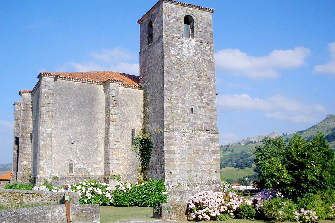
Cantabria is a mountainous and coastal region of northern Spain. It consists of the rugged, central portion of the Cantabrian Mountains which stretch from east to west across northwest Spain. The mountains have deep valleys, with steep slopes pierced by torrential rivers.
Contents
Map
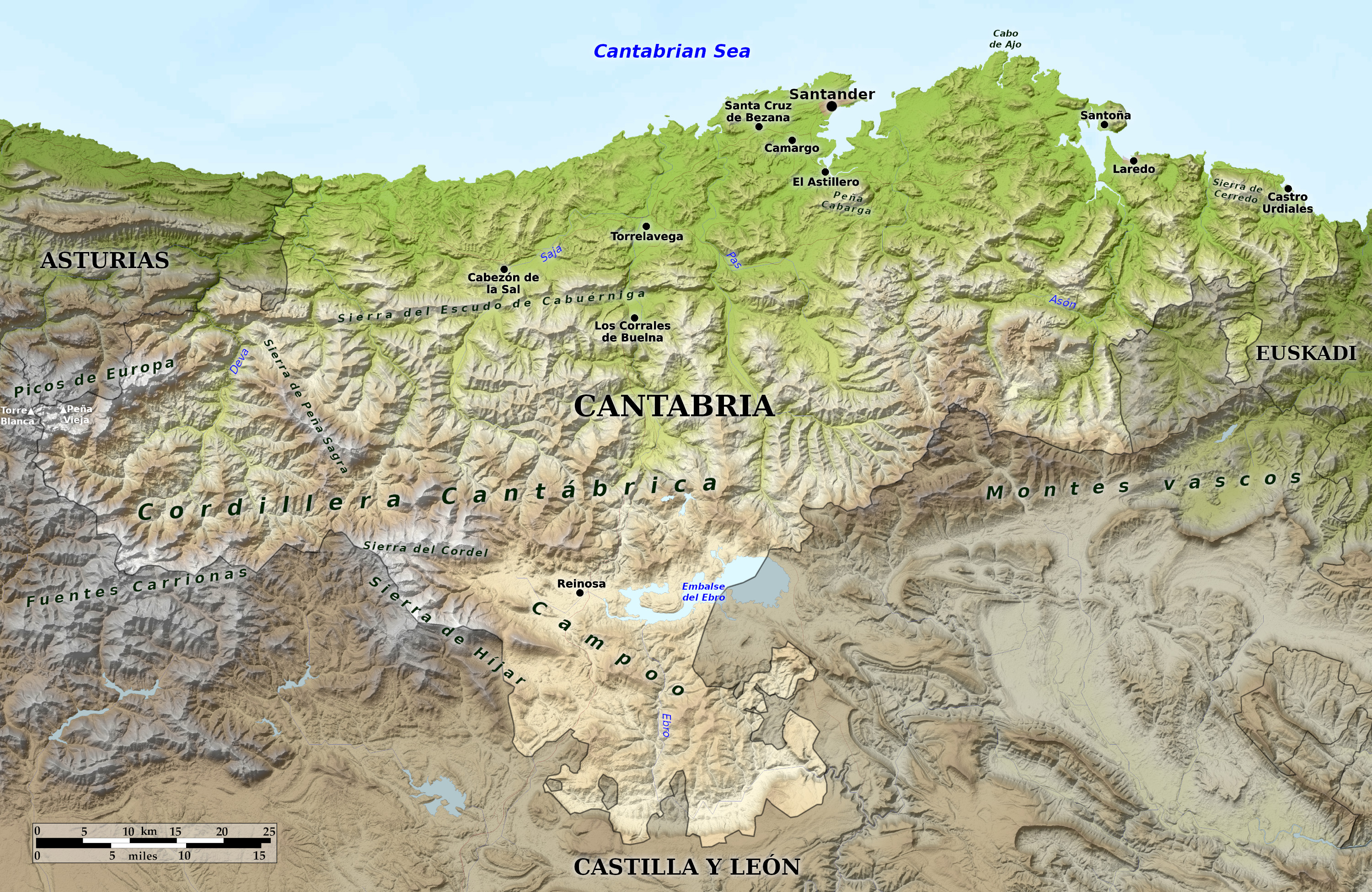 Relief map of Cantabria
What is the landscape of Cantabria like?
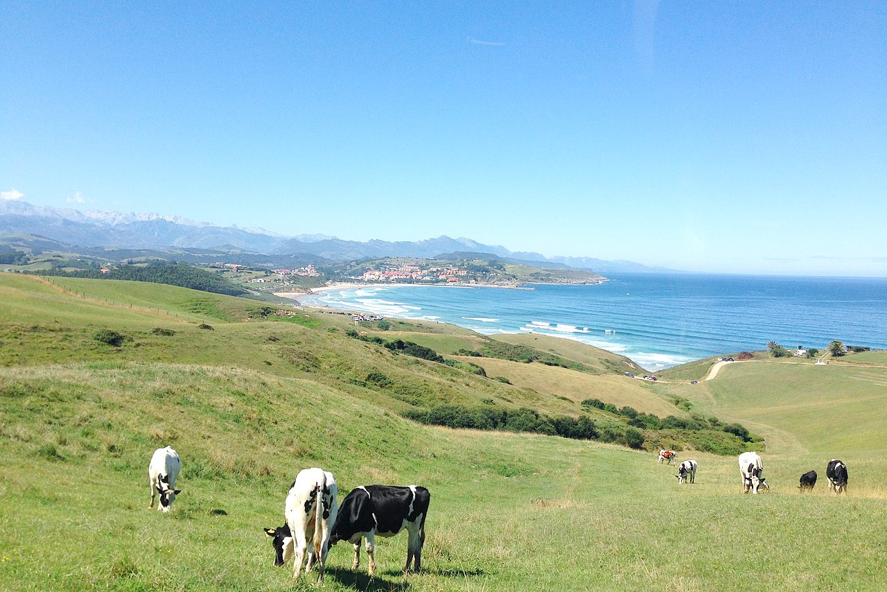
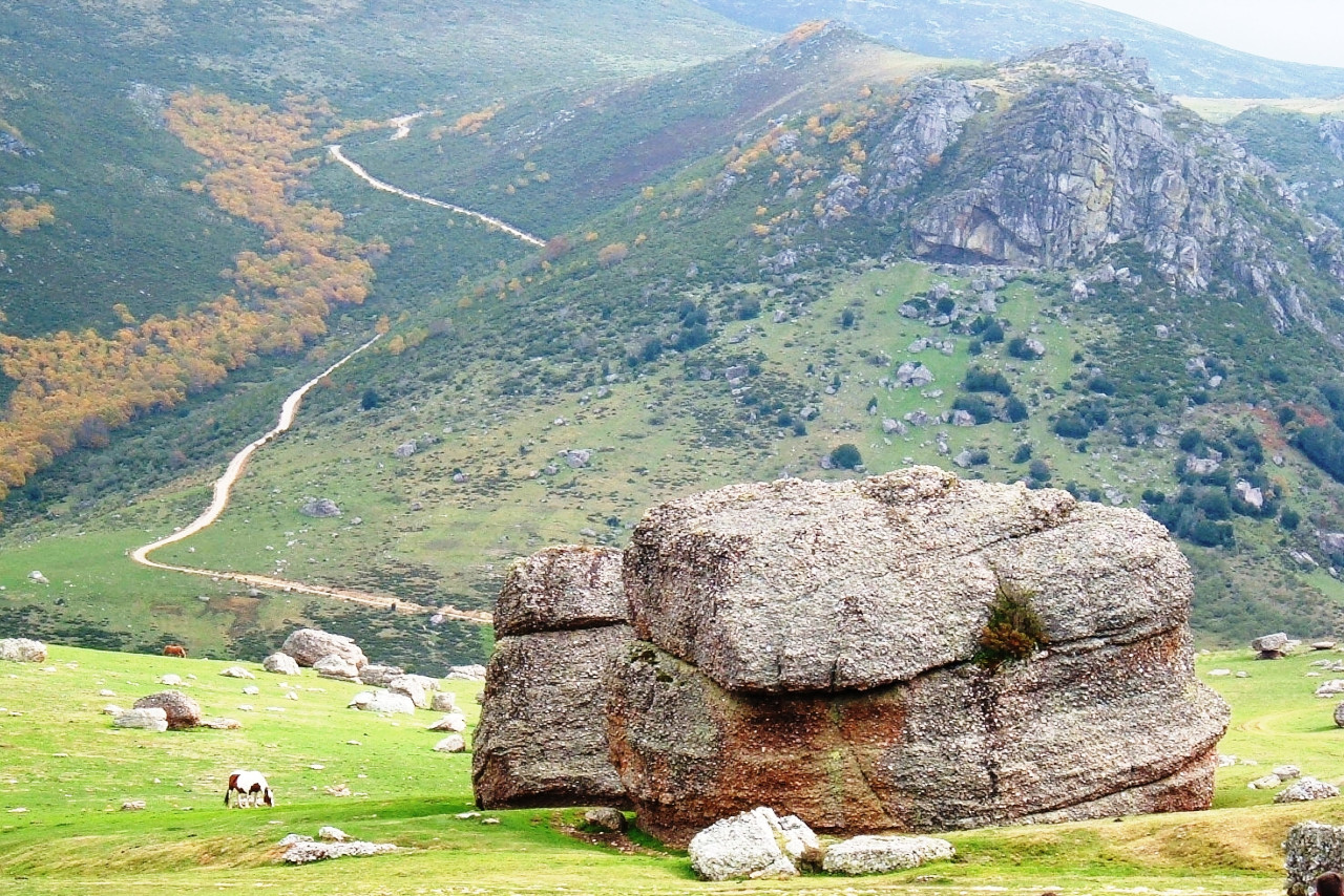
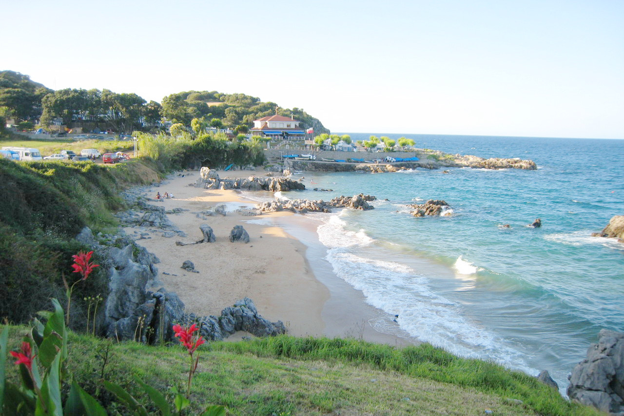
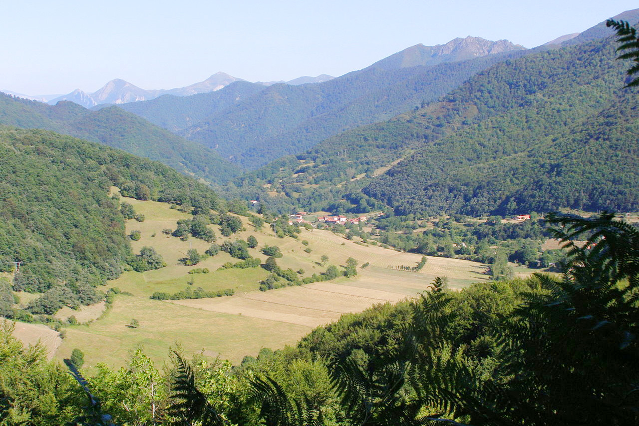
Cantabria is a mountainous and coastal region of northern Spain. Its ruggedness has led to the region being historically called 'La Montaña'. There is however a coastal strip, about 10 km wide, with low and wide valleys, but occasionally forming steep cliffs. Inland the region is traversed from east to west by the Cantabrian Mountains. The mountains have deep valleys, typically running north–south with steep slopes pierced by torrential rivers.
The highest mountains are found in the southwest—the highest point being the peak of Torre Blanca (2,619 m or 8,591 feet), on the western border with Asturias. In the far south are the southern valleys in a region known as Campoo. This southern region has a more continental climate, with beech, oak, and pine forests.
What is the nature of Cantabria like?
The coastal lowlands of Cantabria are dominated by the presence of meadows, often the result of pastoral farming. The coast itself has beaches and dunes, cliffs, and marshes, and inland, besides the meadows, there mixed deciduous forests, and oak groves. In the hills the forests are more uniform but include oak groves, beech forests, birch groves, and cork oak groves. The mountains are distinguished by their subalpine and alpine vegetation, including grasslands and peat bogs.
What is the climate of Cantabria like?
Cantabria has a humid oceanic climate with moderate temperatures, strongly influenced by the Atlantic Ocean winds that collide with the mountains. Snow is frequent in the higher parts of Cantabria between November and March. The driest months are July and August, although generally there is no dry season as such.
| Climate data for Santander (1981–2010) | |||||||||||||
|---|---|---|---|---|---|---|---|---|---|---|---|---|---|
| Month | Jan | Feb | Mar | Apr | May | Jun | Jul | Aug | Sep | Oct | Nov | Dec | Year |
| Average high °C (°F) | 13.6 (56.5) | 13.8 (56.8) | 15.7 (60.3) | 16.6 (61.9) | 19.1 (66.4) | 21.6 (70.9) | 23.6 (74.5) | 24.2 (75.6) | 22.8 (73.0) | 20.3 (68.5) | 16.3 (61.3) | 14.2 (57.6) | 18.5 (65.3) |
| Daily mean °C (°F) | 9.7 (49.5) | 9.8 (49.6) | 11.3 (52.3) | 12.4 (54.3) | 15.1 (59.2) | 17.8 (64.0) | 19.8 (67.6) | 20.3 (68.5) | 18.6 (65.5) | 16.1 (61.0) | 12.5 (54.5) | 10.5 (50.9) | 14.5 (58.1) |
| Average low °C (°F) | 5.8 (42.4) | 5.7 (42.3) | 7.0 (44.6) | 8.3 (46.9) | 11.1 (52.0) | 13.9 (57.0) | 16.0 (60.8) | 16.4 (61.5) | 14.4 (57.9) | 11.8 (53.2) | 8.7 (47.7) | 6.7 (44.1) | 10.5 (50.9) |
| Average precipitation mm (inches) | 106 (4.2) | 92 (3.6) | 88 (3.5) | 102 (4.0) | 78 (3.1) | 58 (2.3) | 52 (2.0) | 73 (2.9) | 83 (3.3) | 120 (4.7) | 157 (6.2) | 118 (4.6) | 1,129 (44.4) |
| Source: Agencia Estatal de Meteorología | |||||||||||||
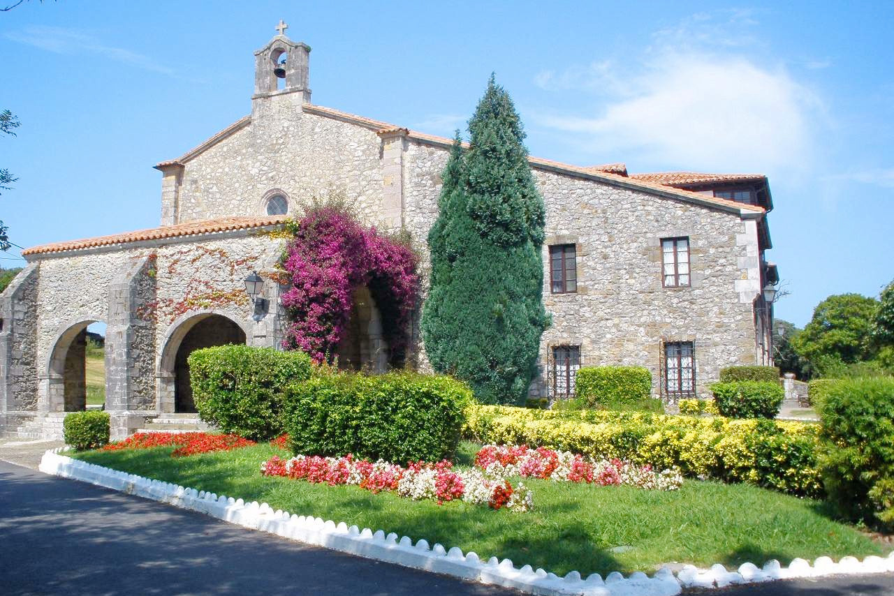 Sanctuary of La Barquera. Saint Vincent de la Barquera
The official websites
Cantabria
La Montaña
| Location: | Northern Spain |
| Coordinates: | 43° 15′ N, 04° 00′ W |
| Size: | • 85 km N-S; 140 km E-W • 50 miles N-S; 85 miles E-W |
| Terrain: | Northern slopes of the Cantabrian Mountains, with a gently rolling coastal strip with abrupt sea cliffs |
| Climate: | Maritime climate with abundant rainfall throughout the year with warm summers and mild winters. Winter snows in the mountains |
| Highest point: | Torre Blanca 2,619 m / 8,591 ft |
| Forest: | 56% (2010 est.) (source) |
| Population: | 582,905 (2020) |
| Population density: | Medium (110/km²) |
| Capital: | Santander |
| Languages: | Spanish |
| Human Development Index: | Very High (0.904) |